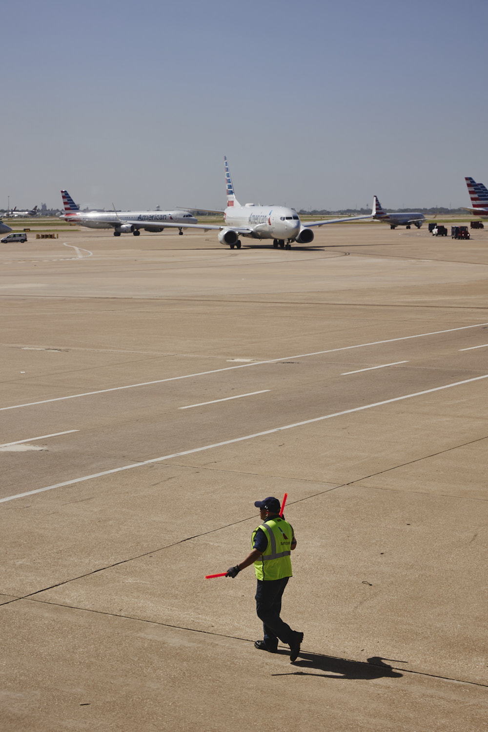
 ready to go
 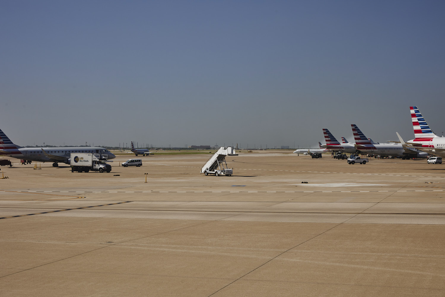 random lonesome stairs
 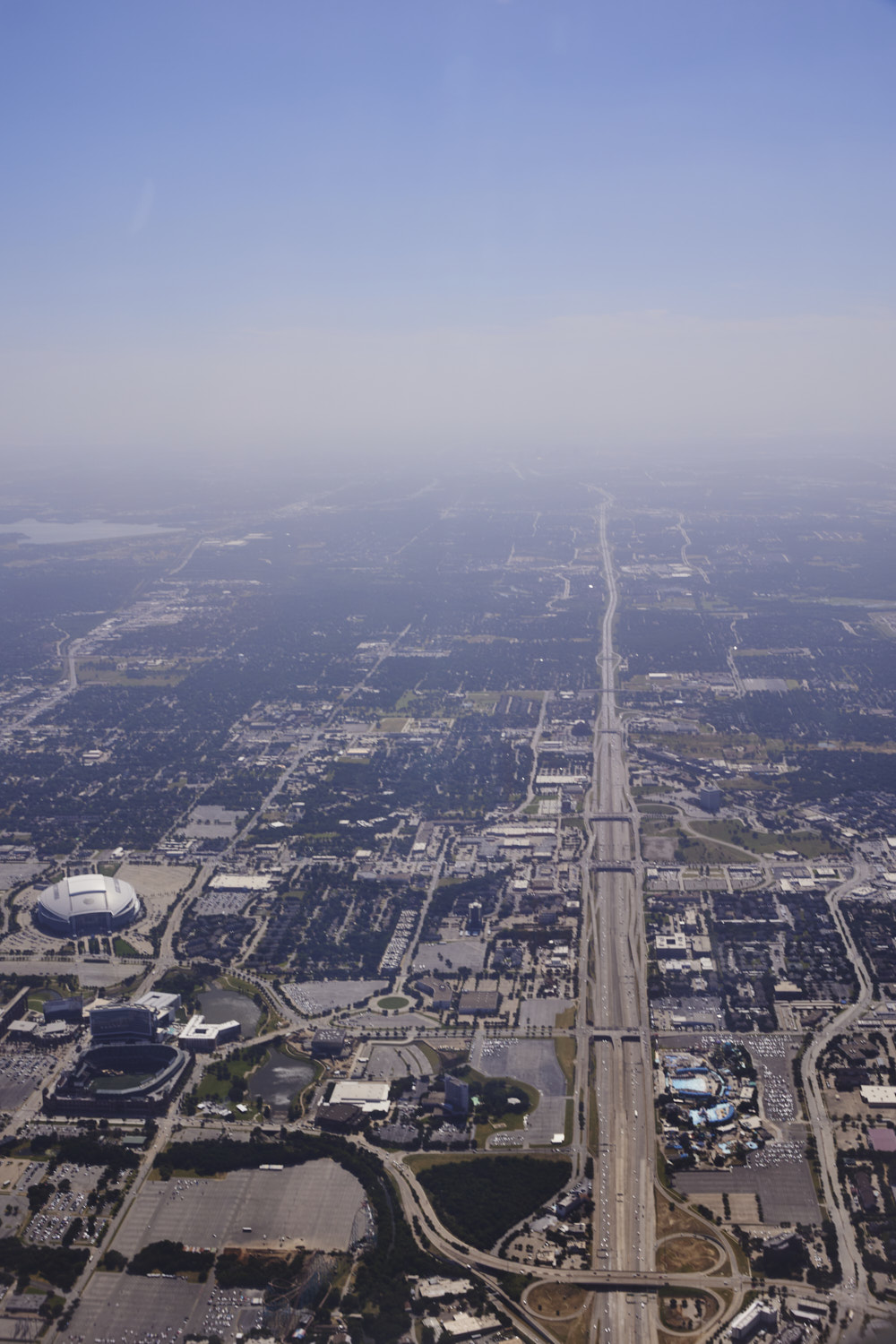 Dallas Cow Boys Home Stadium and Hurricane Harbor Waterpark
 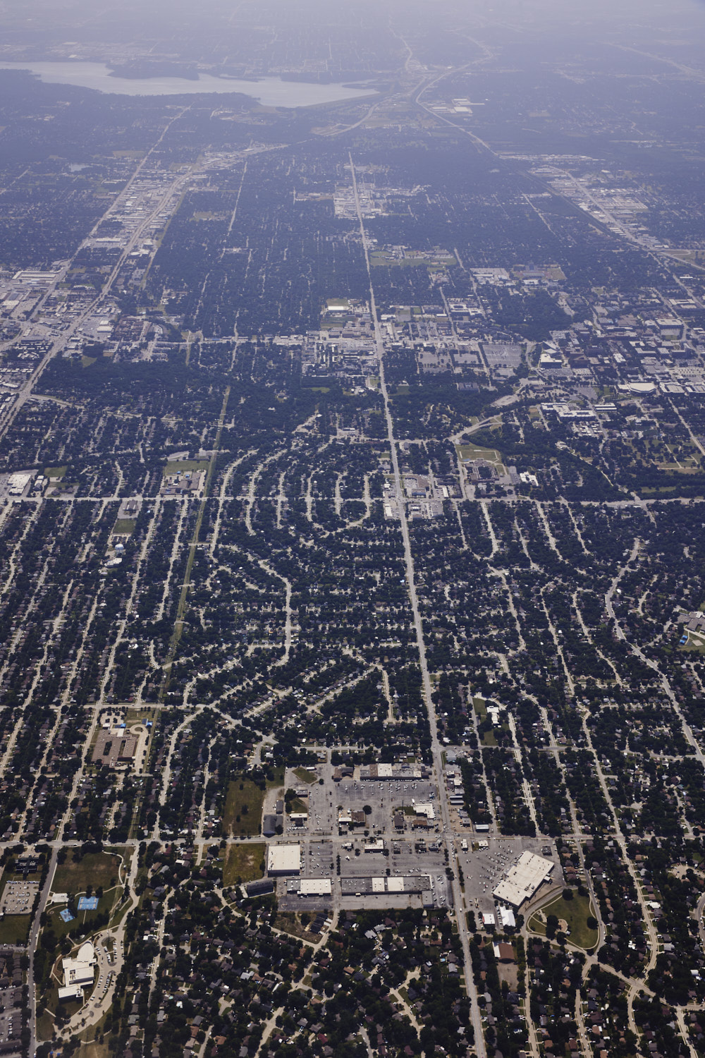 Arlington Dallas Texas
 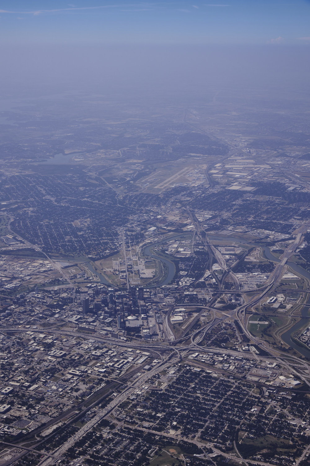 Fort Worth
 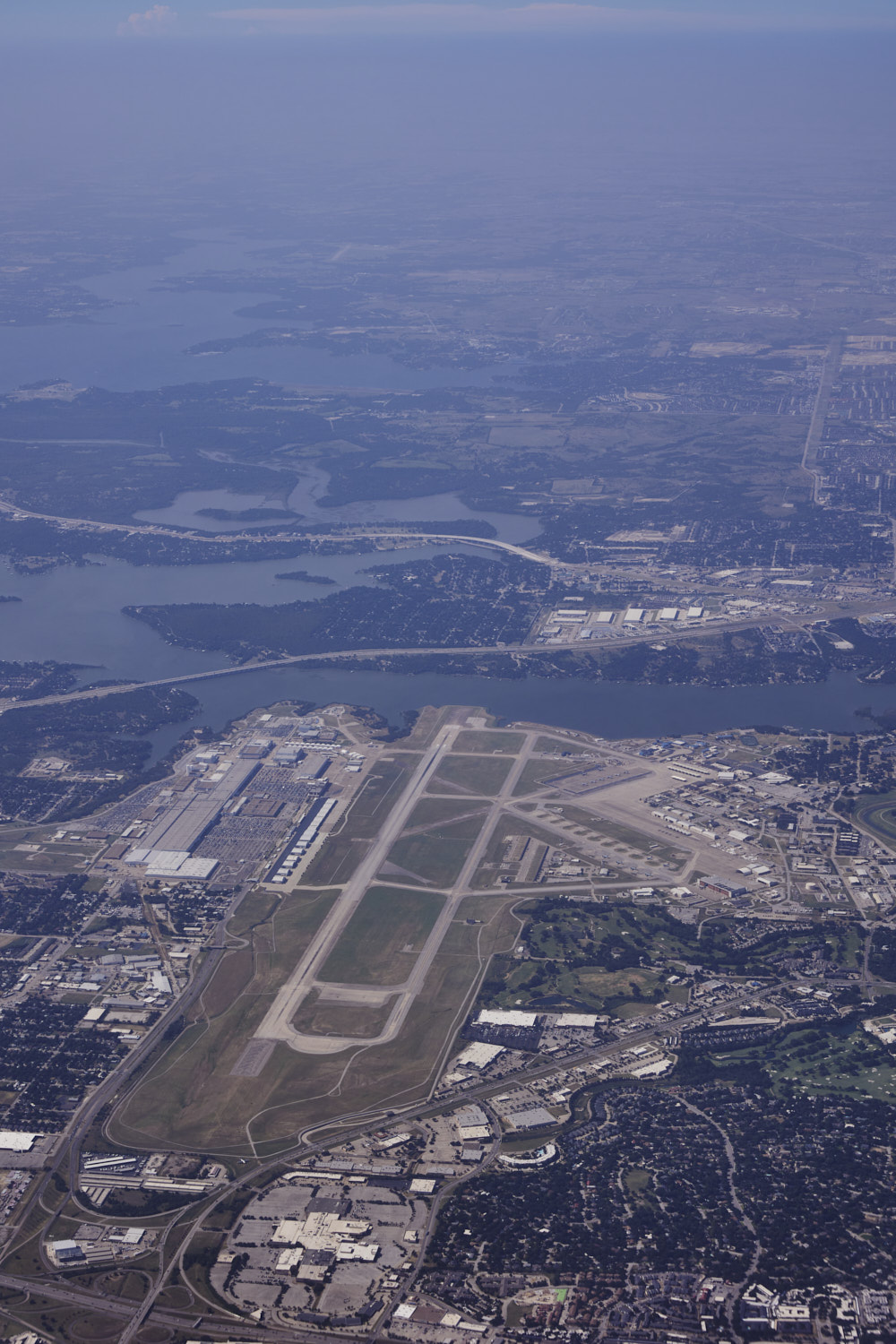 Fort Worth Air Force Base
 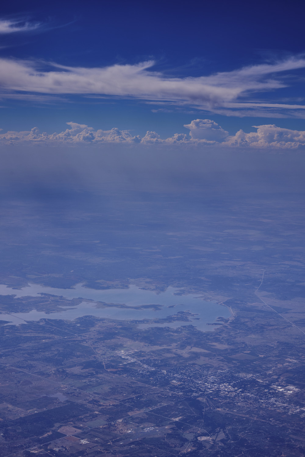 Breckenbridge
 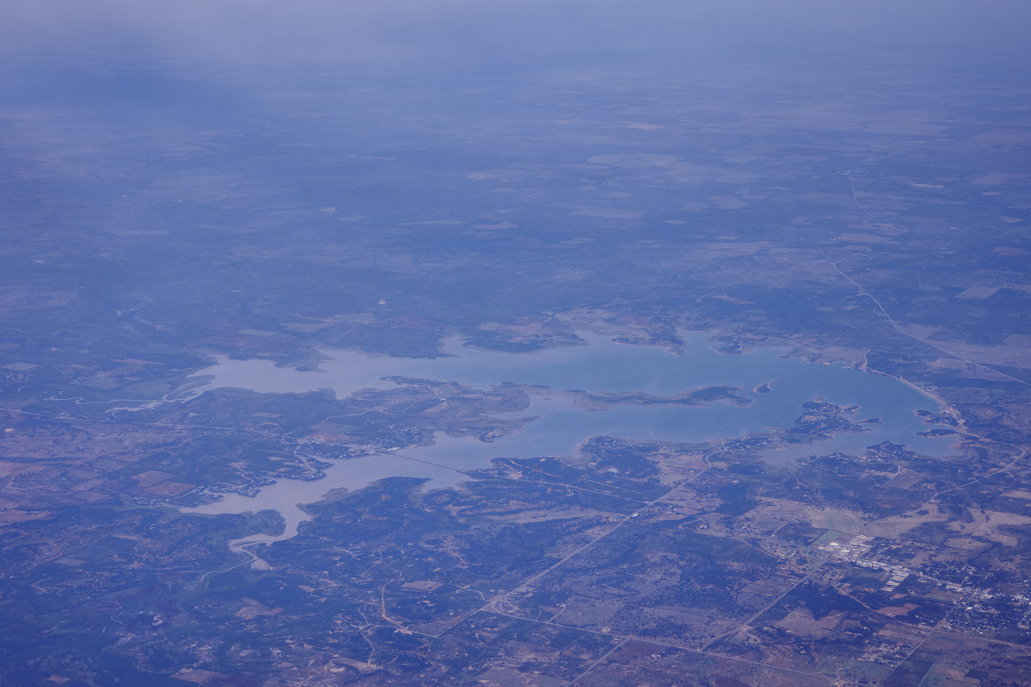 Hubbard Lake
 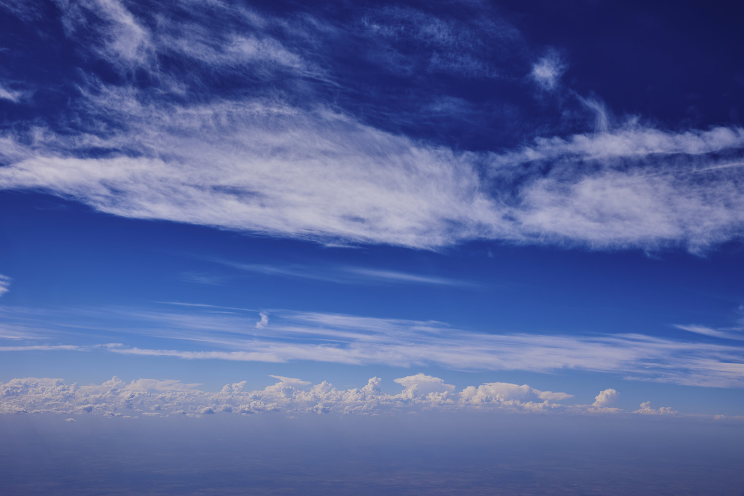 Texas Skies
 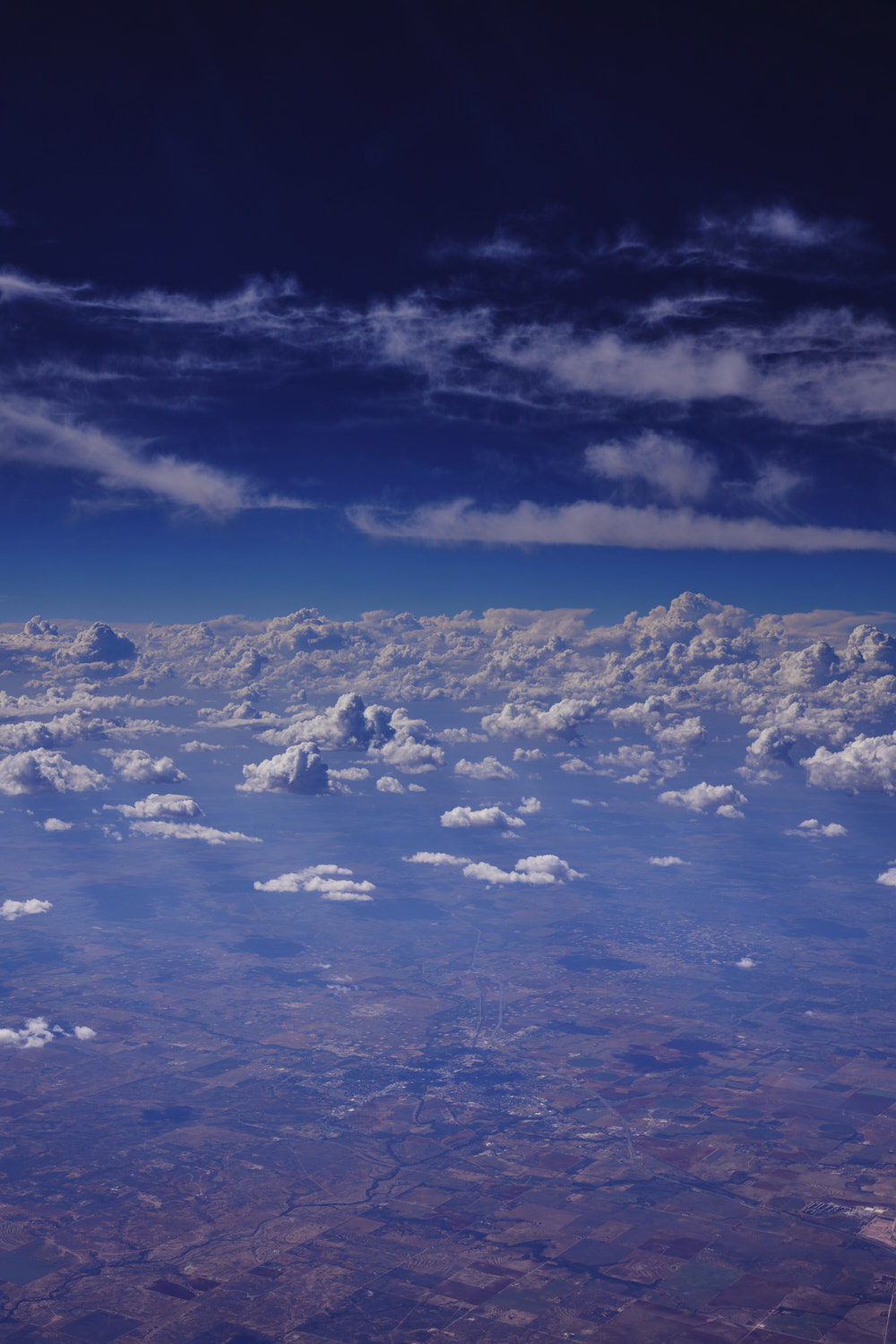 Albany
 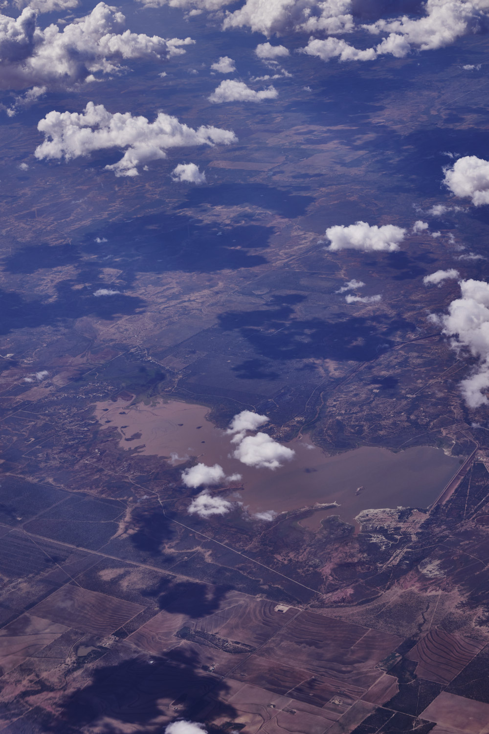 Lake Fort Phantom Hill
 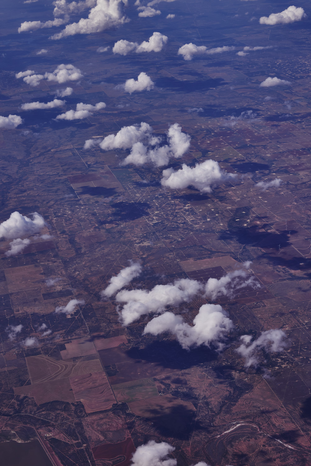 Jones County landscape, fractured by fracking ?
 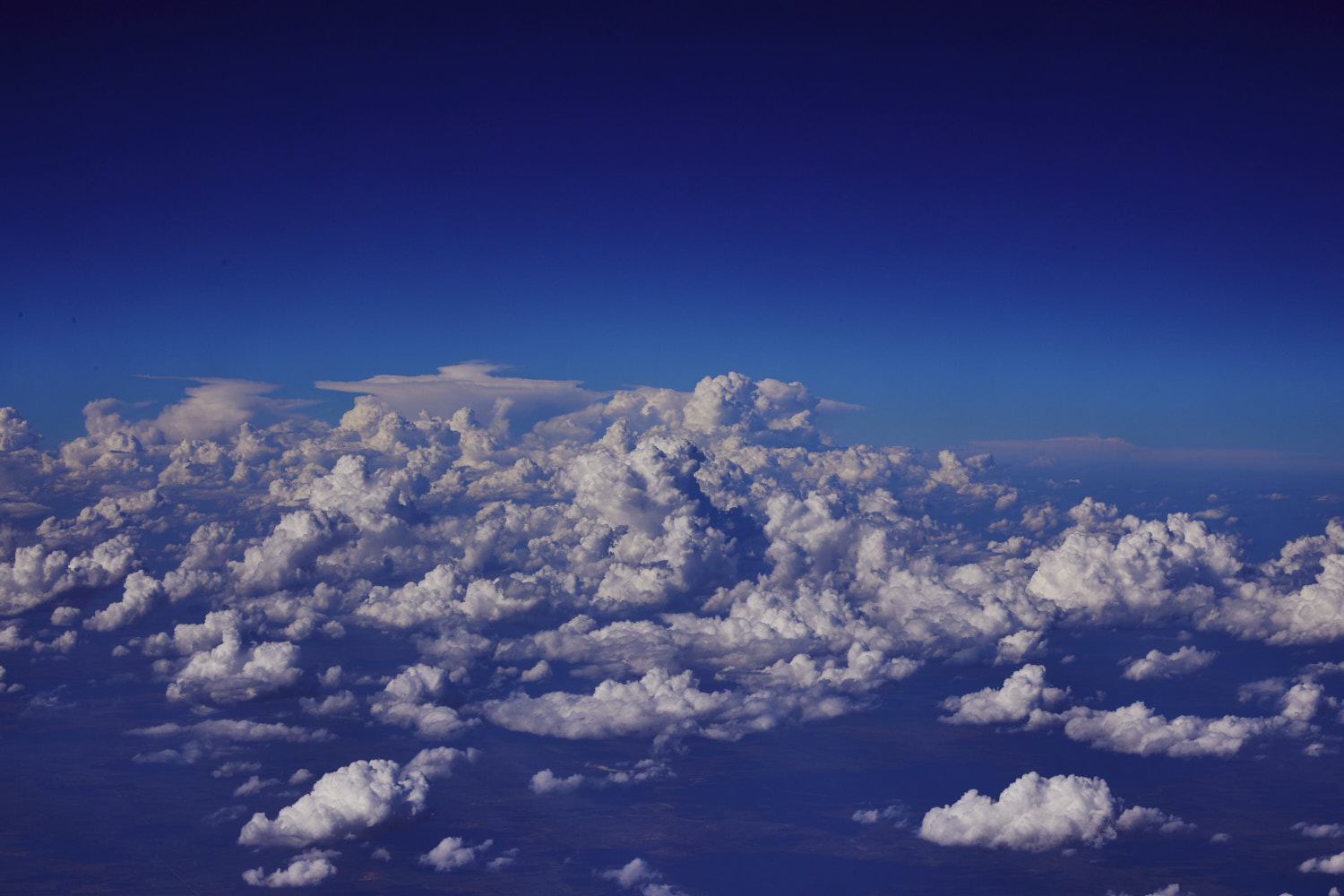 clouds rolling in
 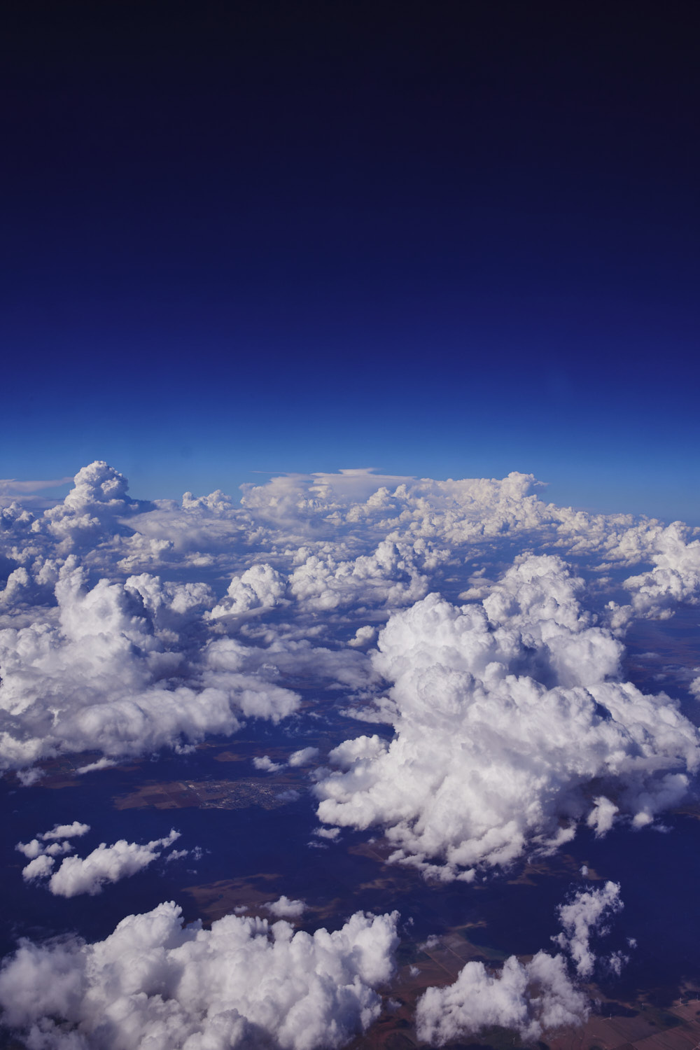 clouds over Texas
 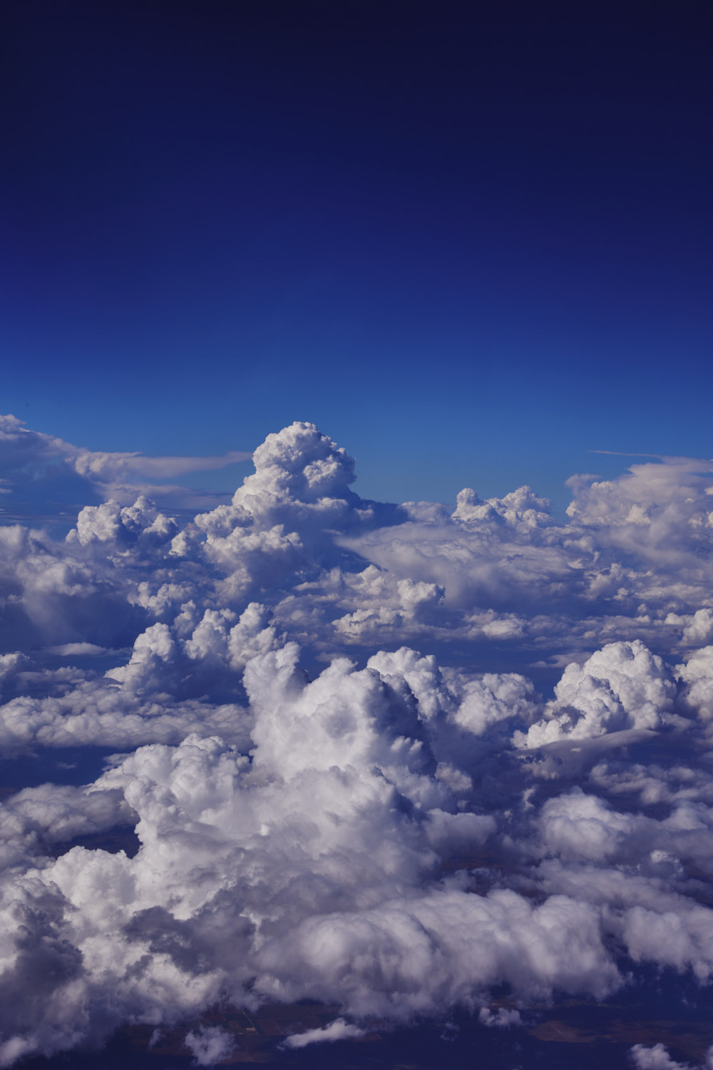 cumulus maximus
 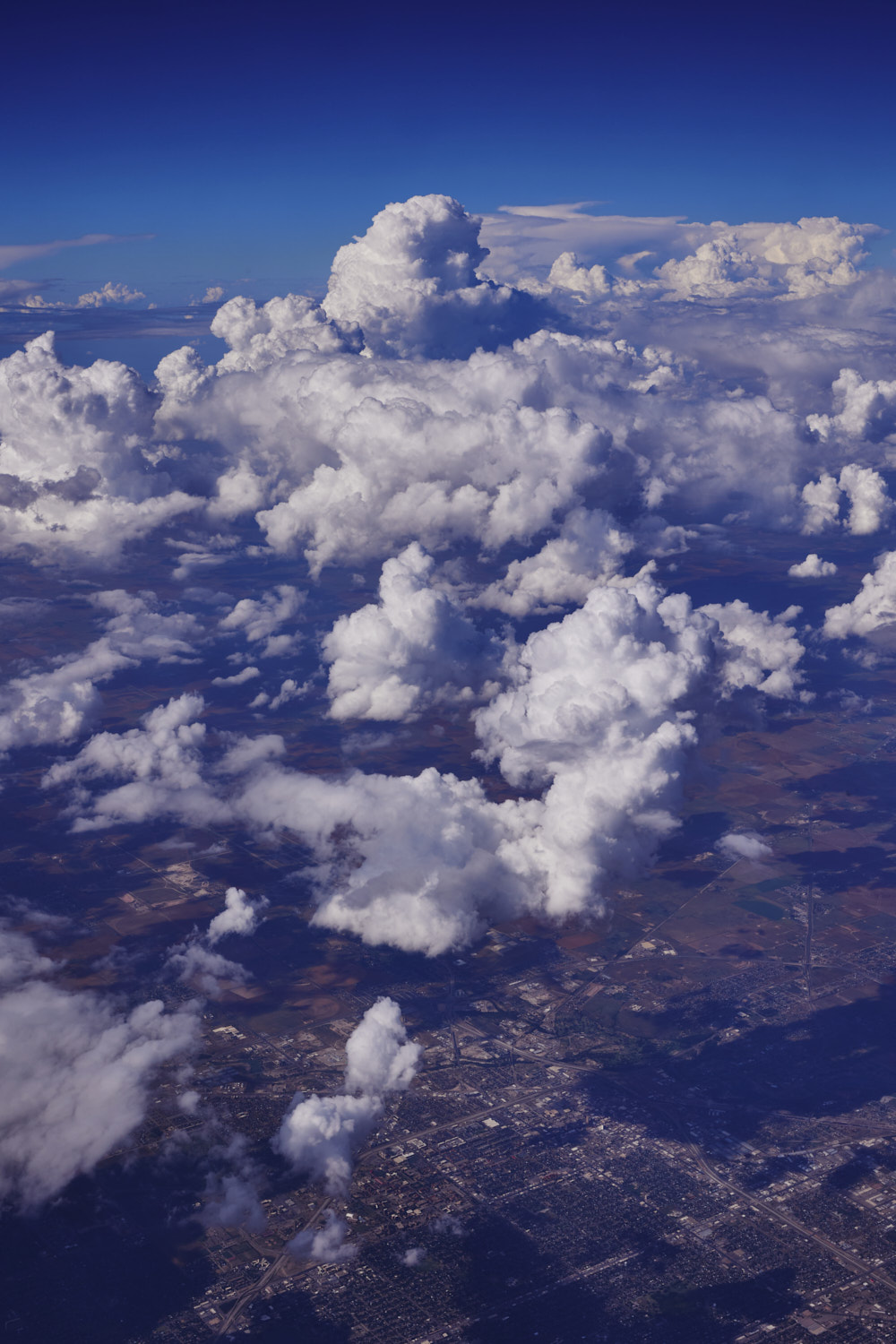 Abilene
 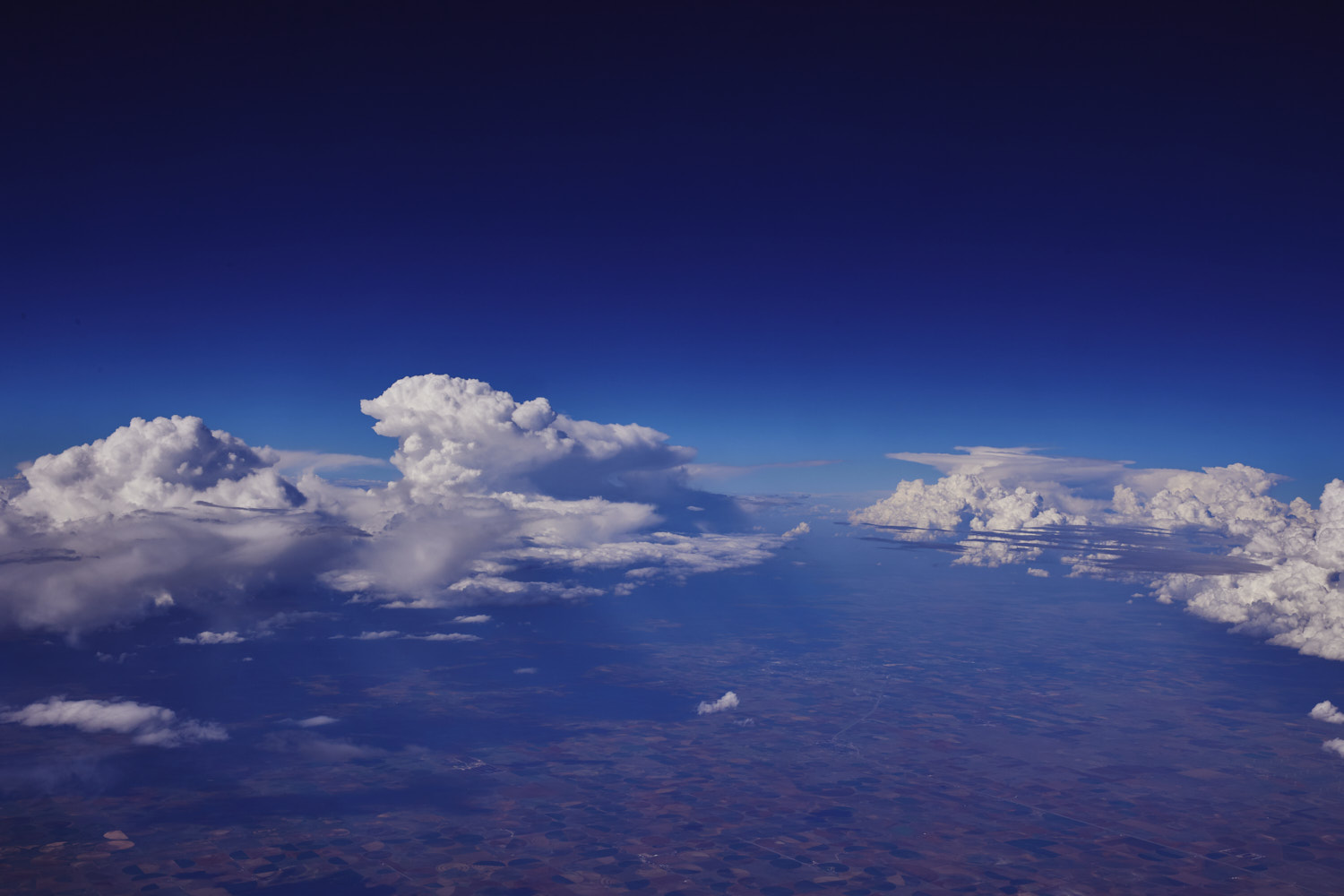 Parting in the cloud revealing Texas farm land
 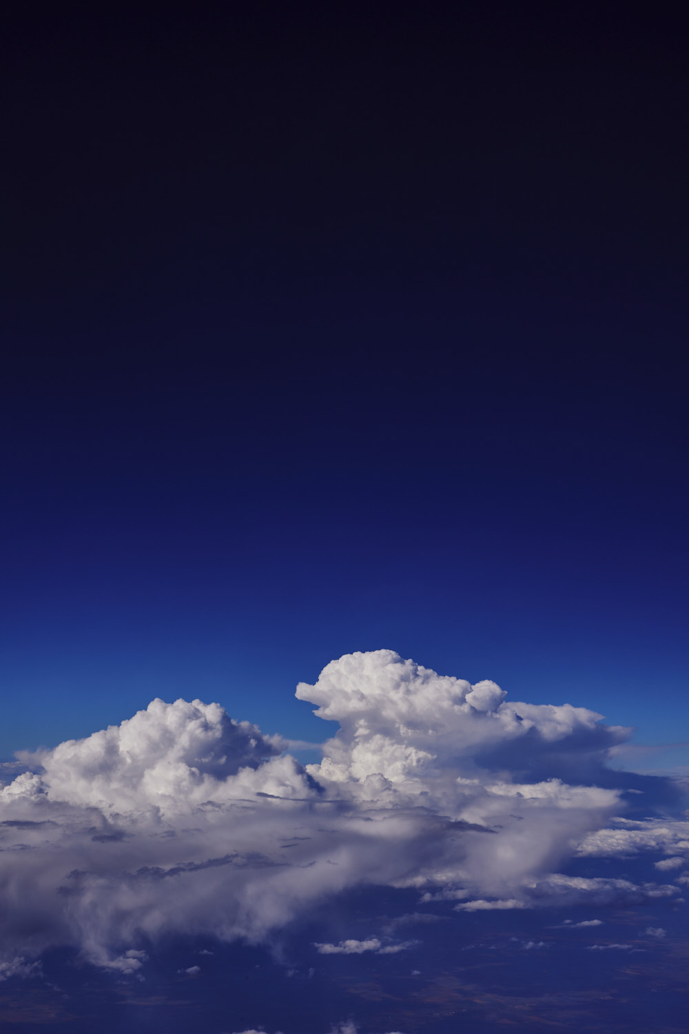 always can imagine some animals shapes in clouds
 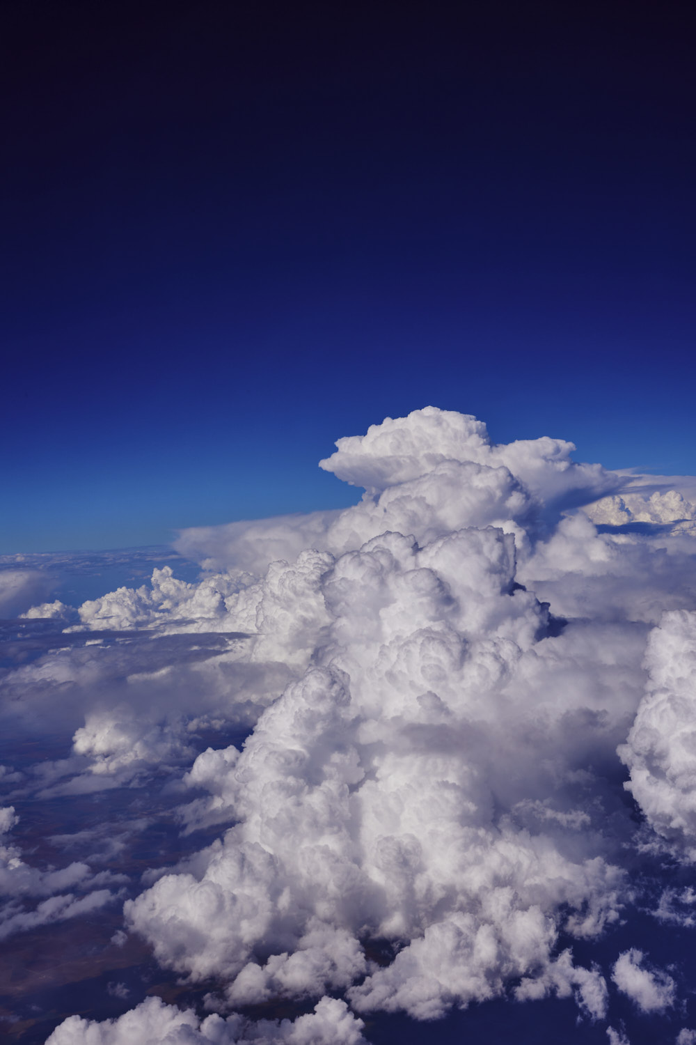 much needed rain I’m sure
 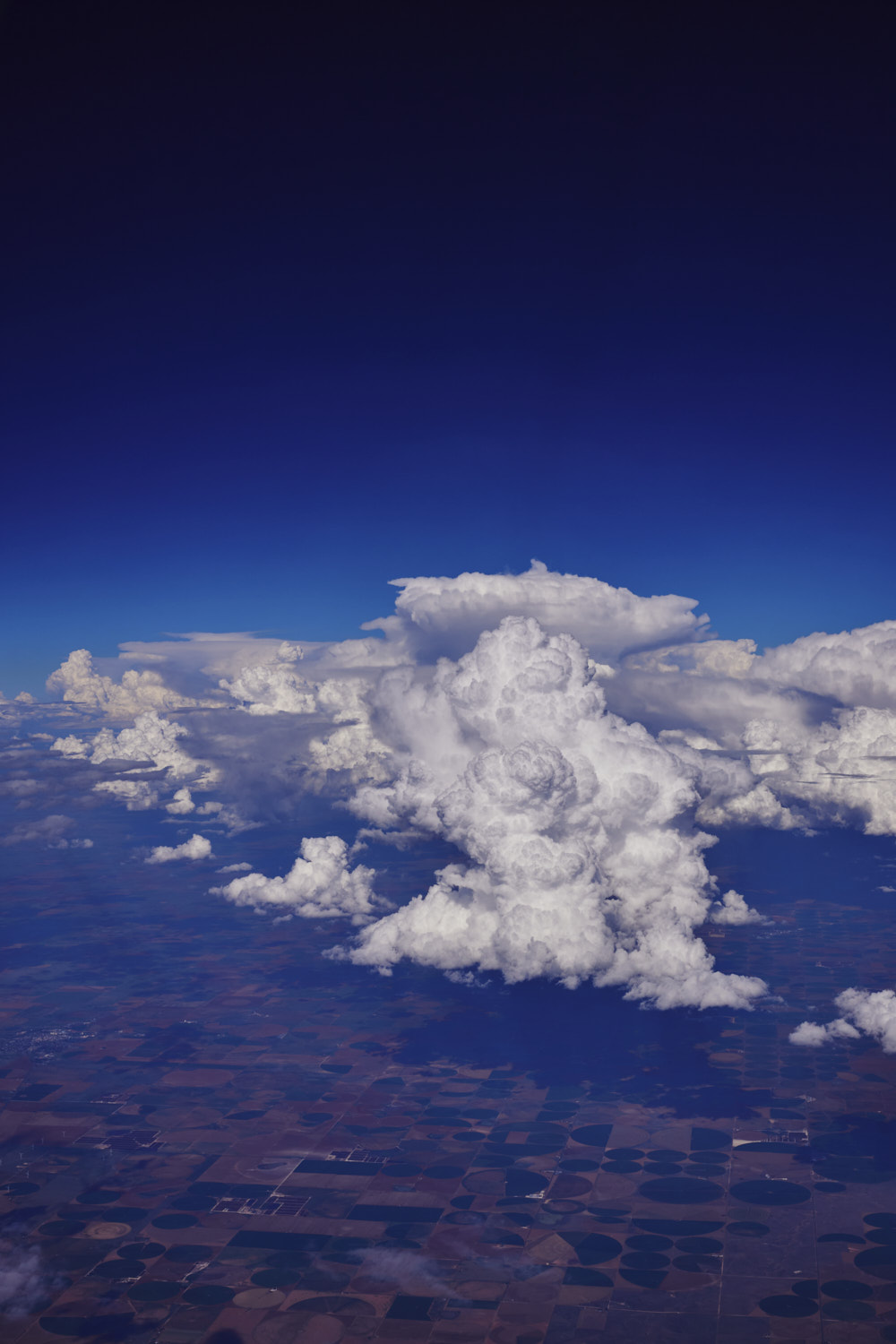 circle irrigation farming
 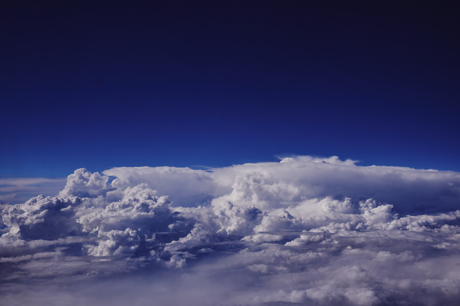 Hope the clouds clear and there’s no cloud coverage all the way to LA
 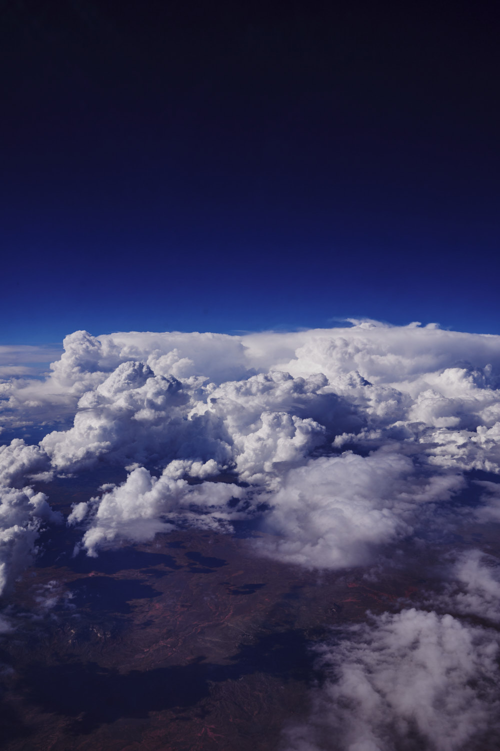 crossing into New Mexico
 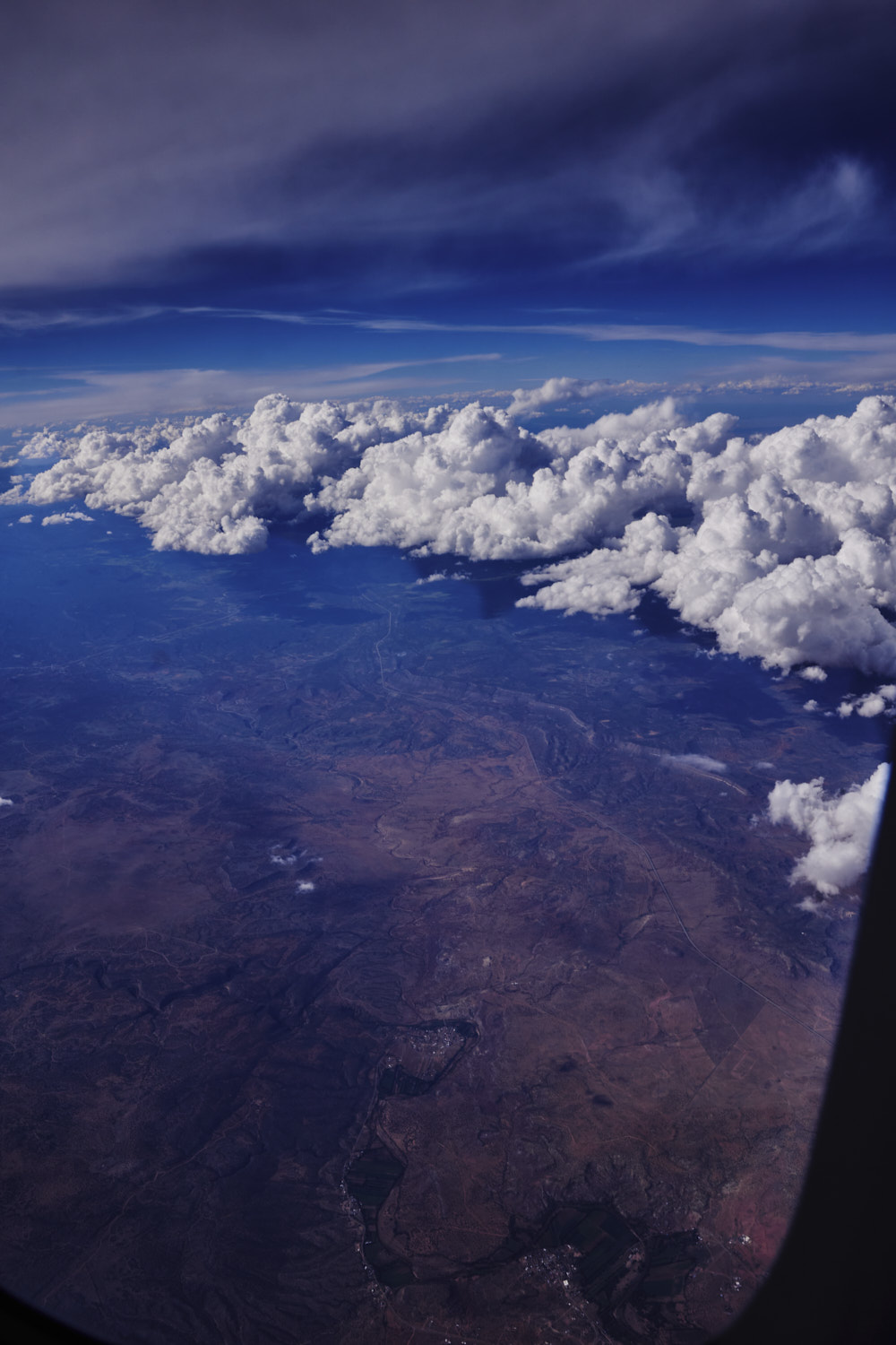 Apache Springs and Tecolotito
 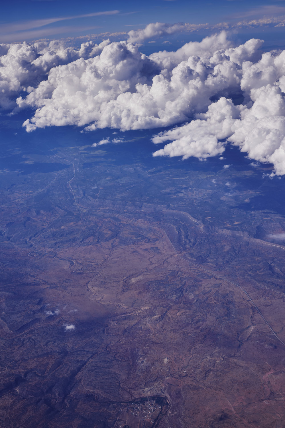 The 84
 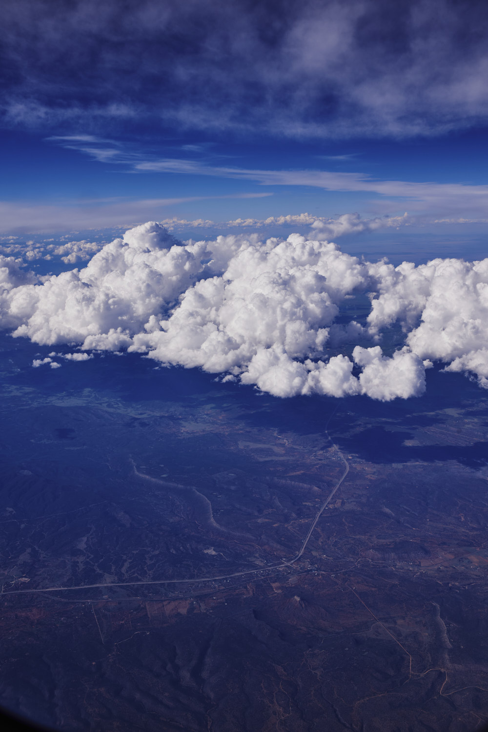 Serafina on the 25
 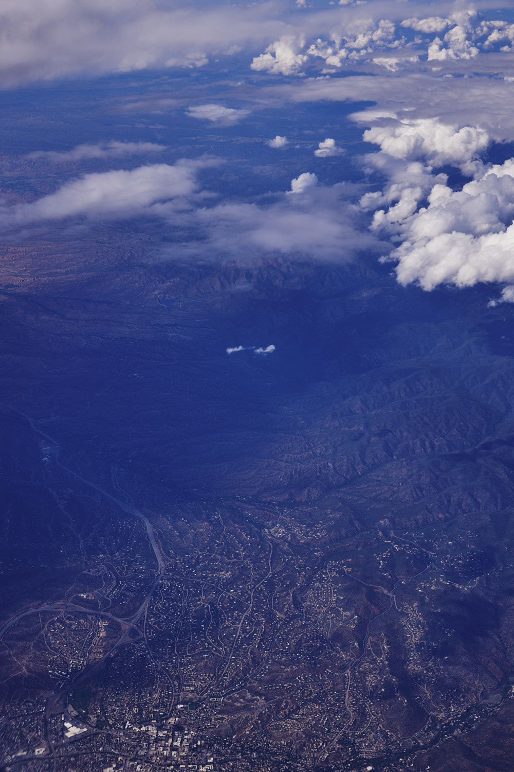 Top corner of Santa Fe
 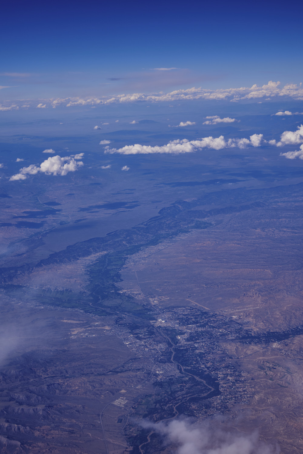 Española
  and the Rio Grande running through Española
 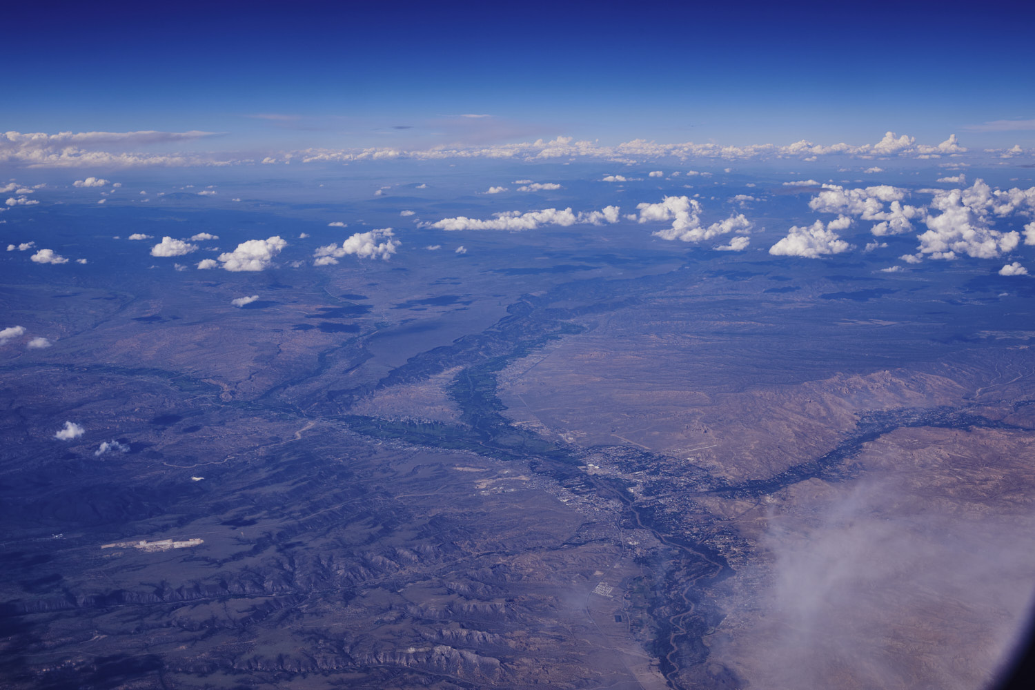 Santa Clara Pueblo
 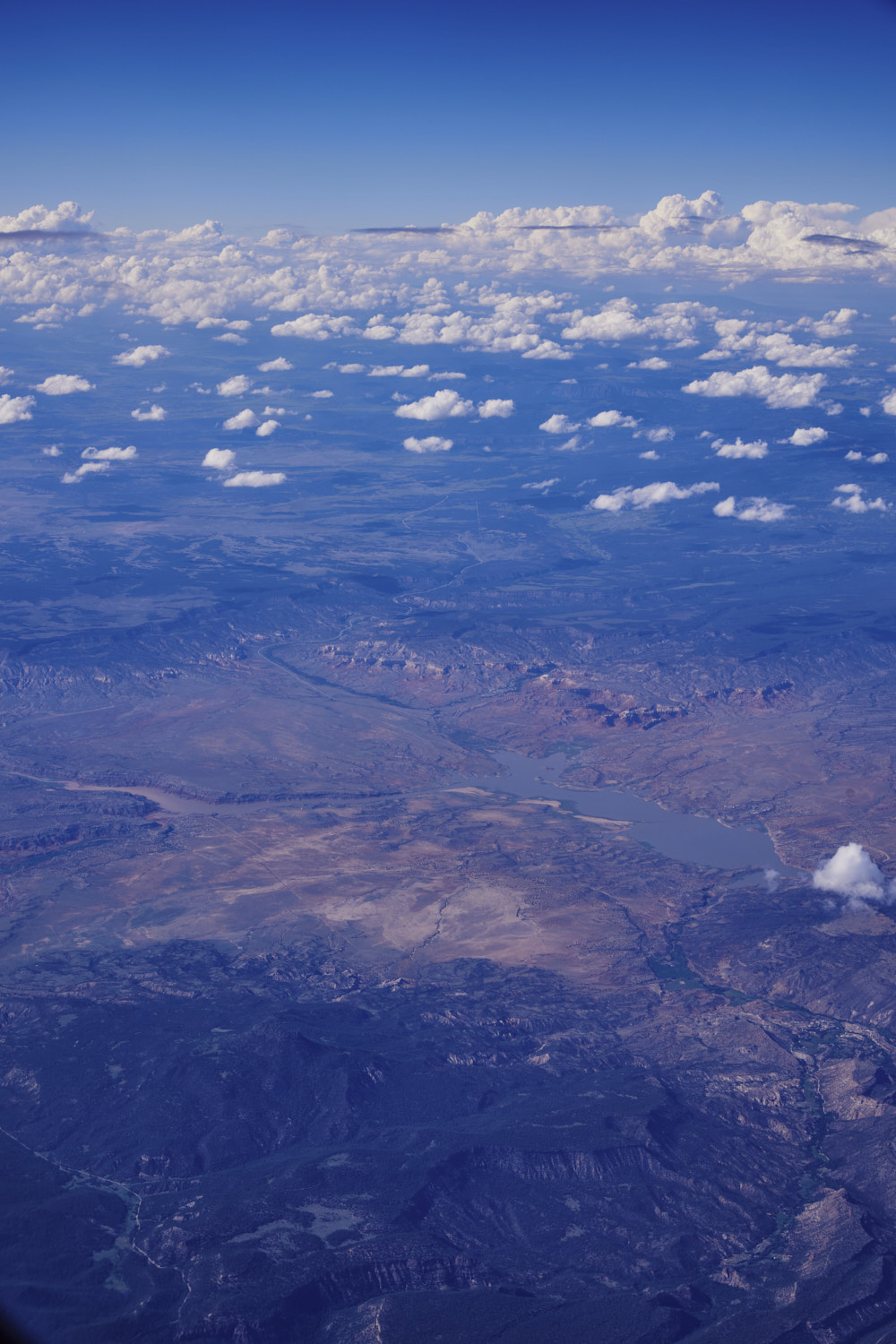 Abiquiu Reservoir
 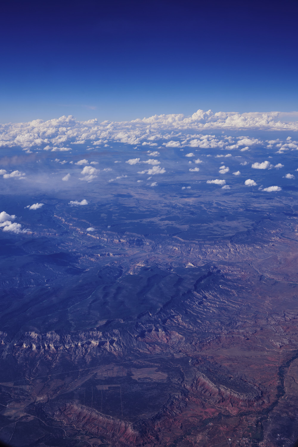 Mesa Montosa
 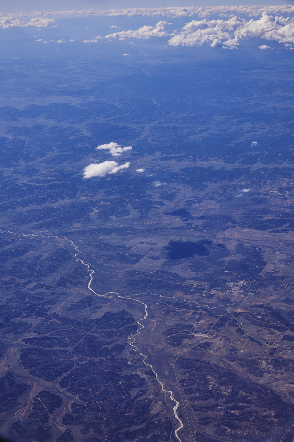 Lindrith
 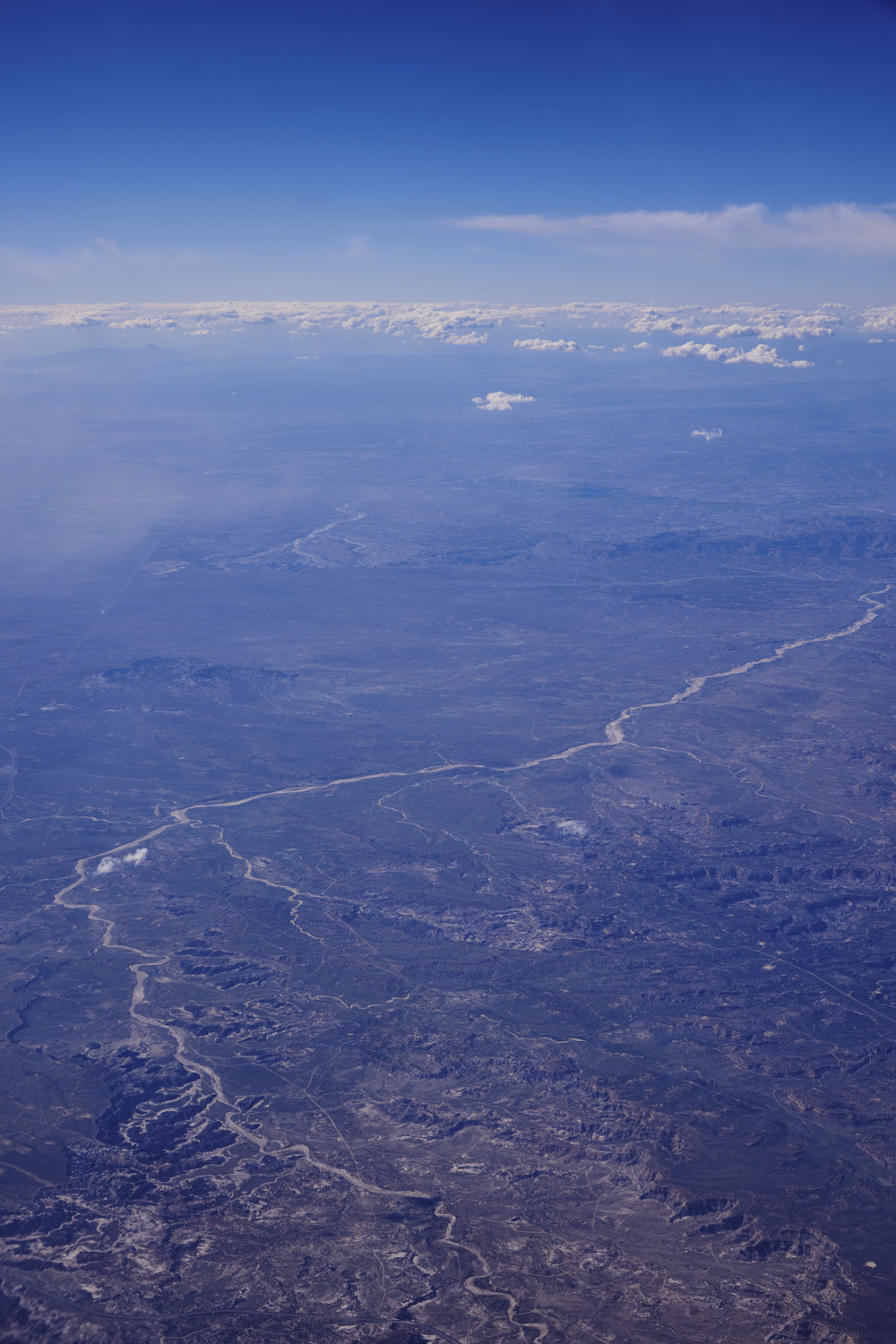 so many dry river beds with no name on google maps, near Turtle mountain
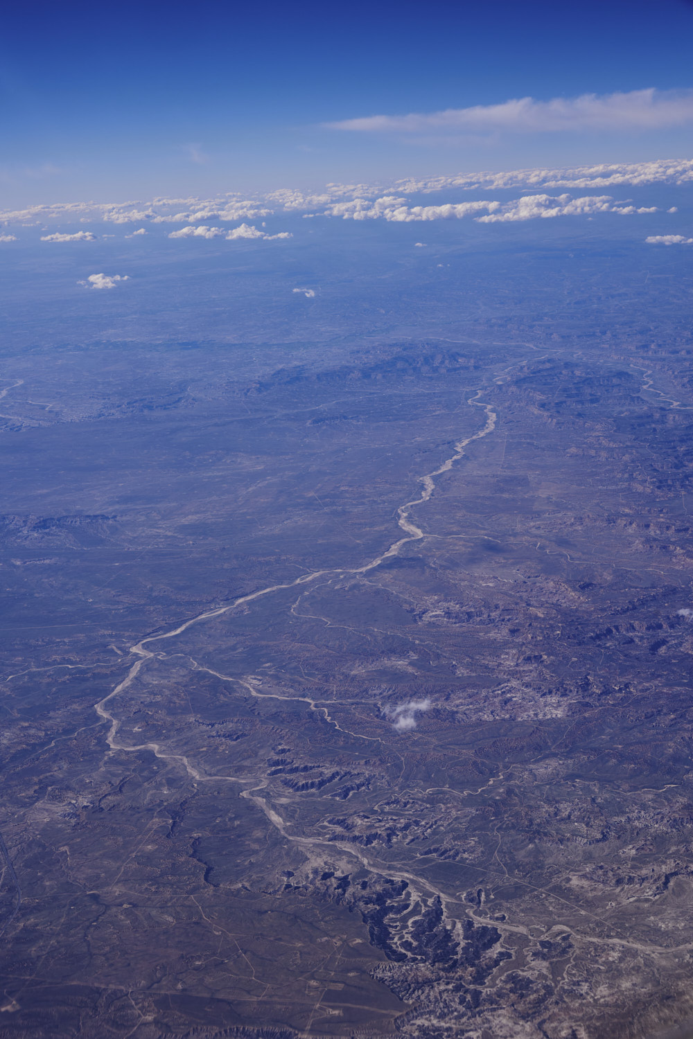 arid
arid 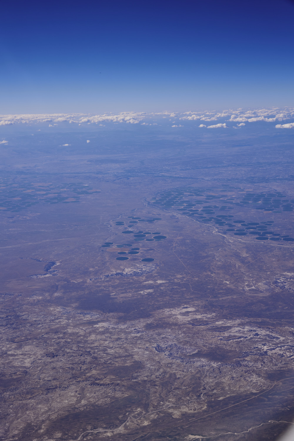 Navajo Nation off-reservation trust land in San Juan county New Mexico
 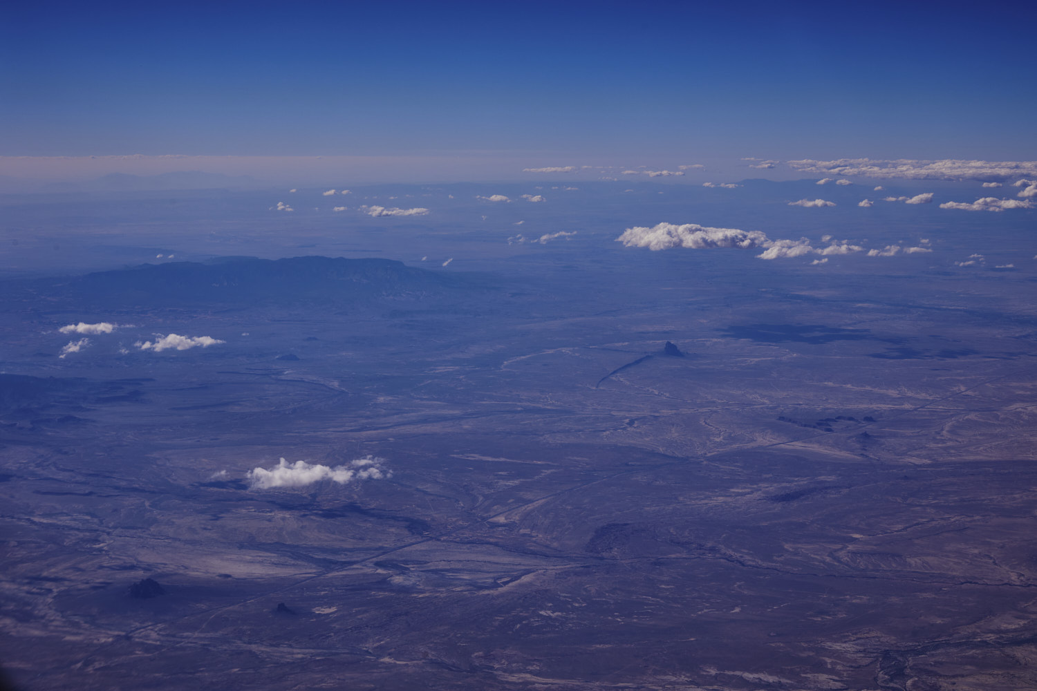 oh woauw, look at that
 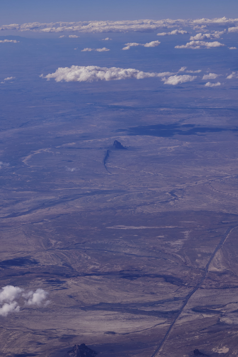 zoom in, Ship Rock, part of the Navajo volcanic field
 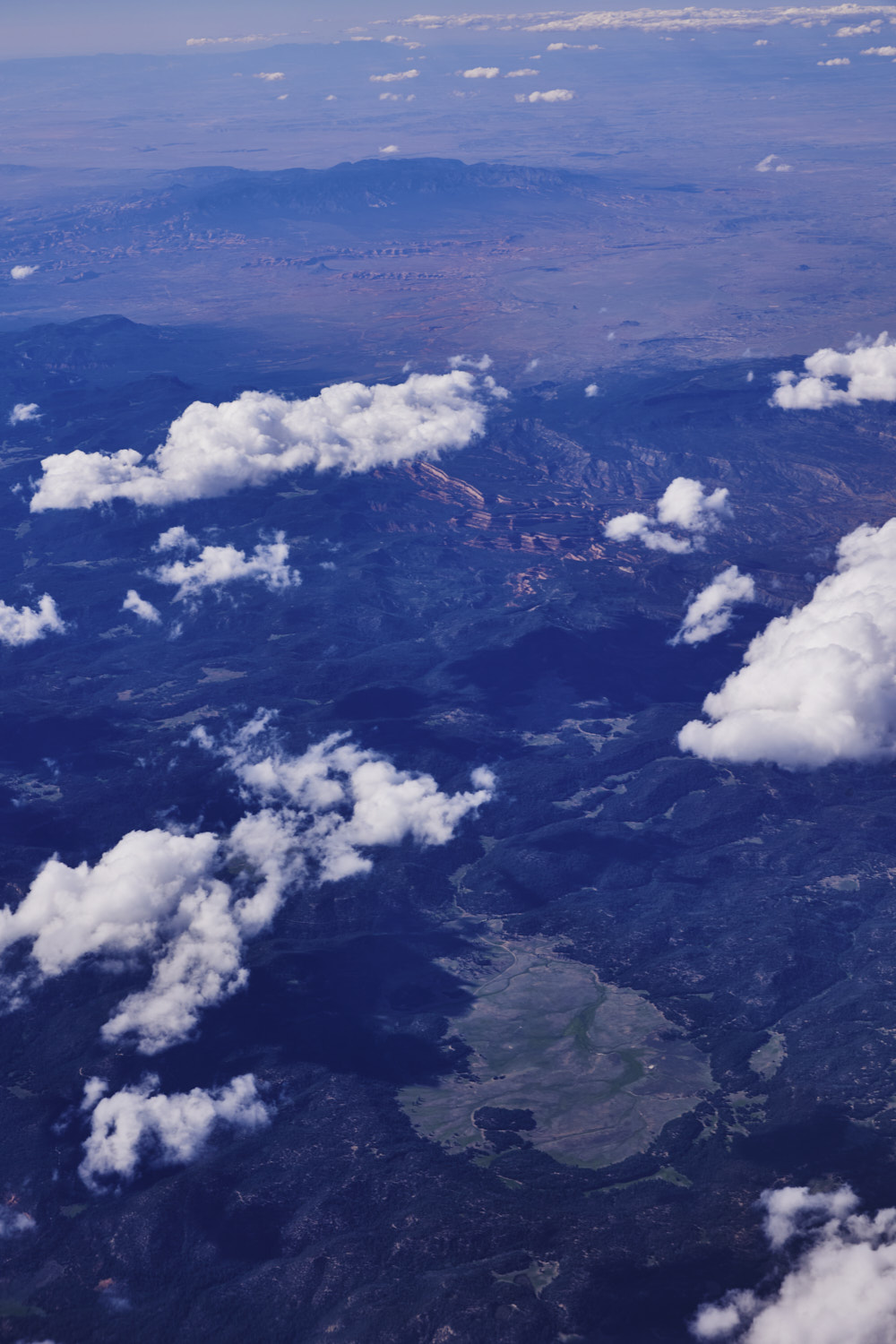 woauw, lower part of the photo looking like the Blue Mountains back in Australia, and what a nice little grassland oasis amongst the trees
 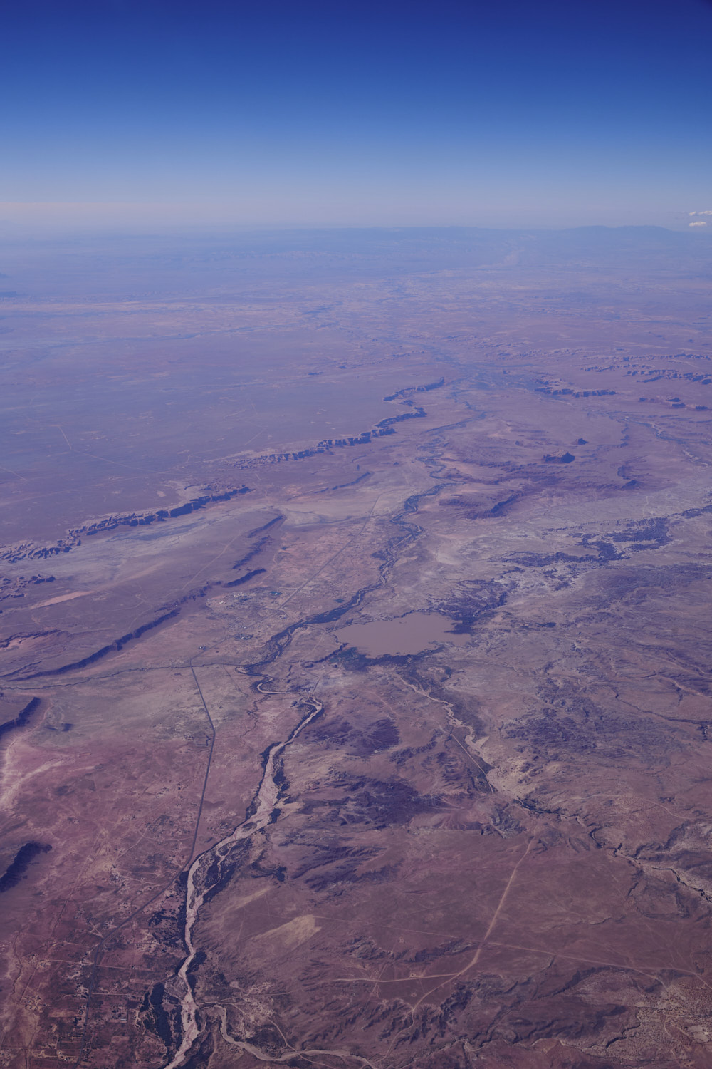 and we crossed over from New Mexico into Arizona now
 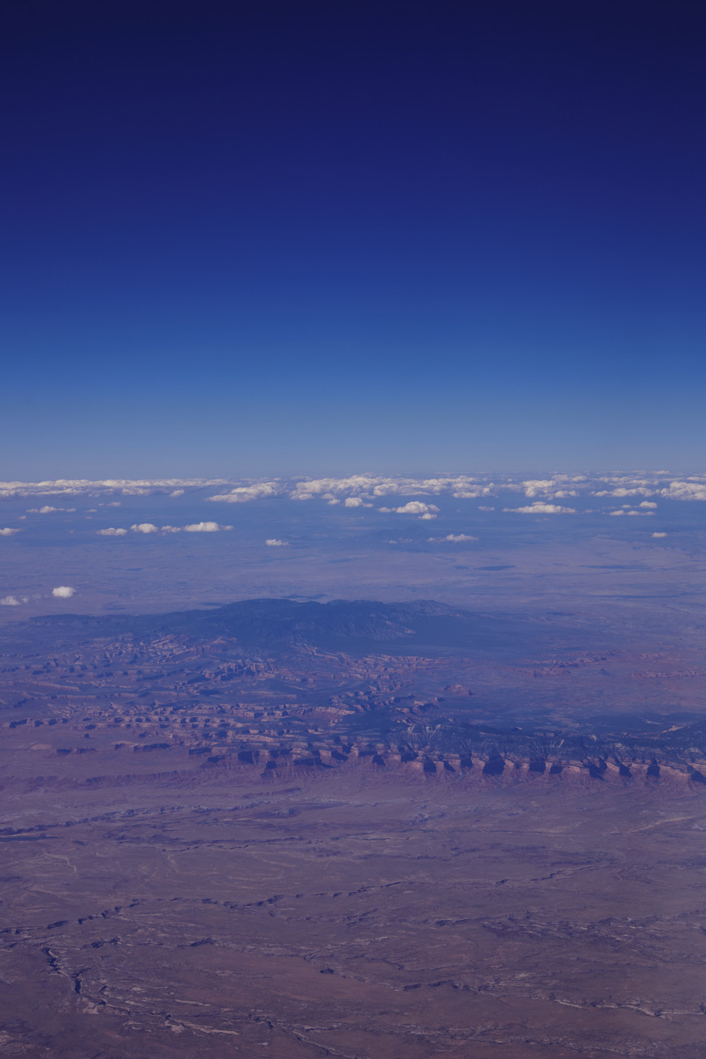 looking back at the state border and this amazing escarpment
 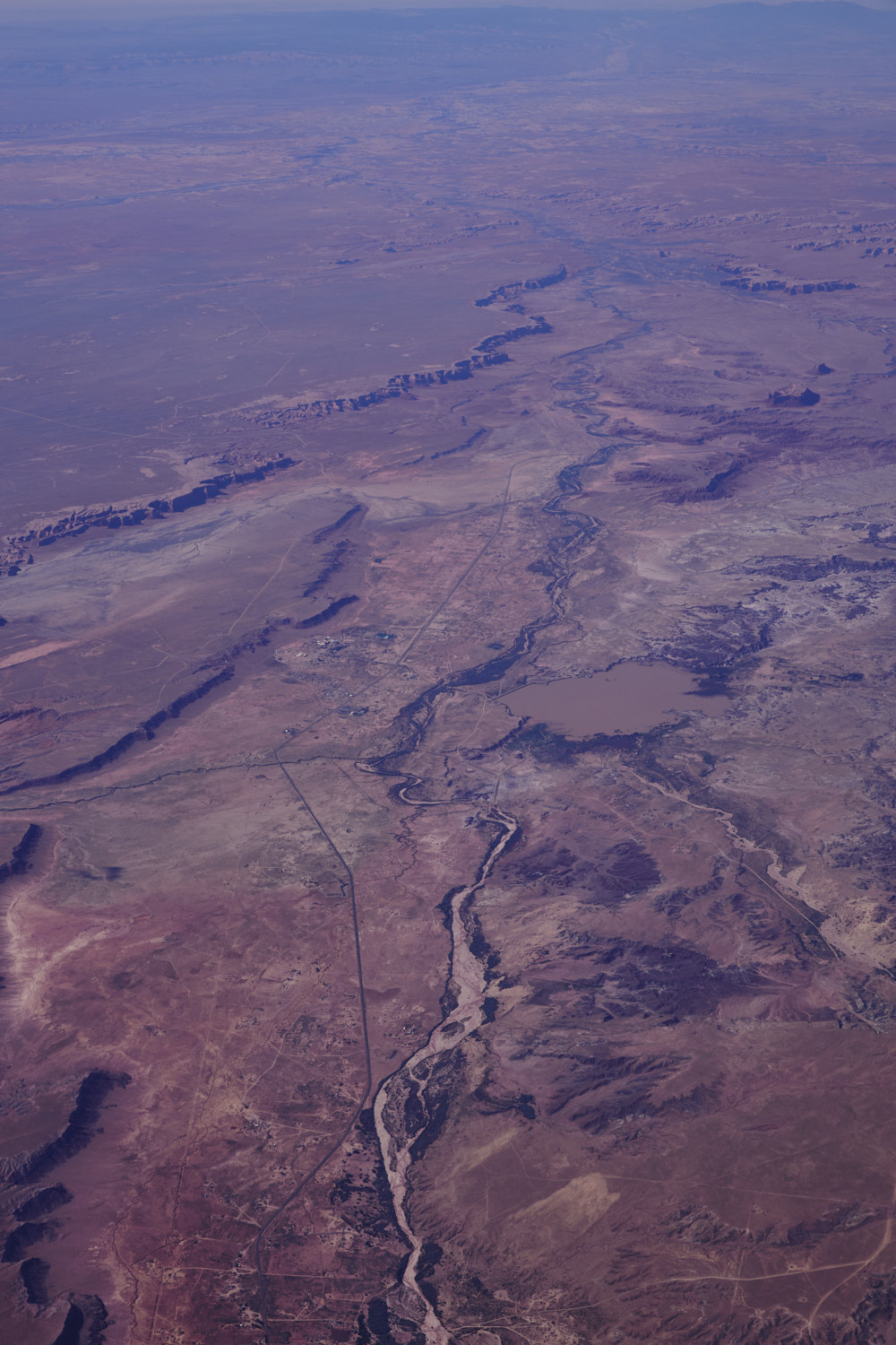 Many Farms on the 191 and another dry river bed
 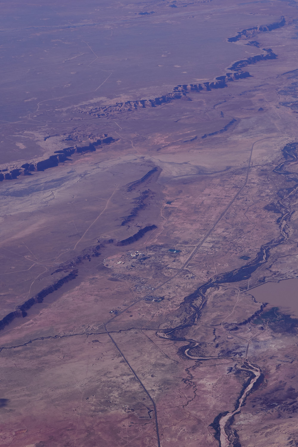 arid
arid 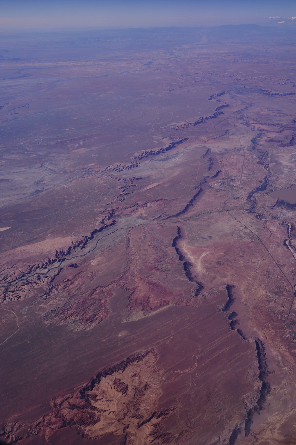 Coyote Spring, such amazing colour ( keeping in mind, this is shot through a plastic sheet covering a glass window and gawd knows how many particles in the air and the final subject matter )
 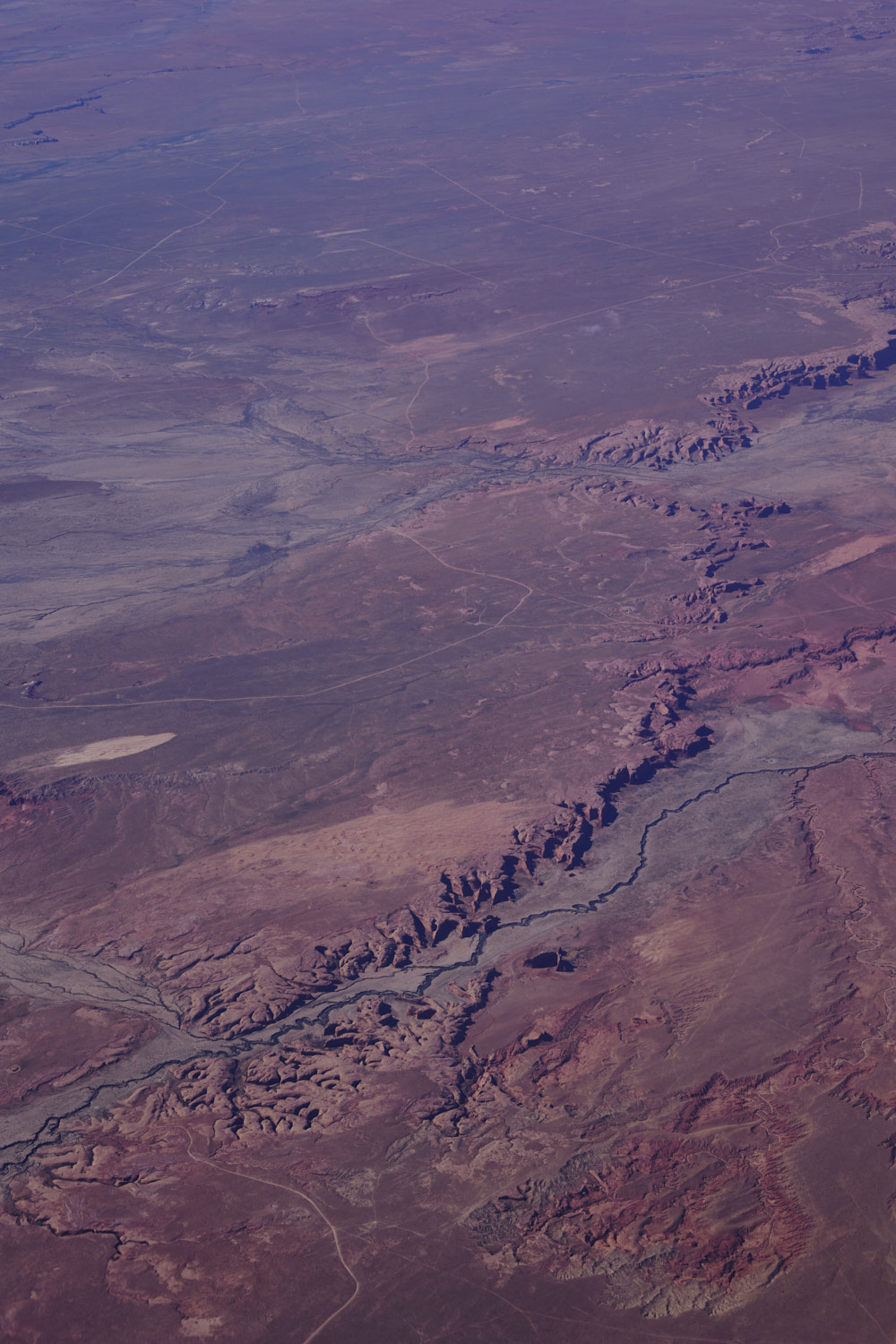 Apache County, great places for hikes if you’re into that sort of thing,
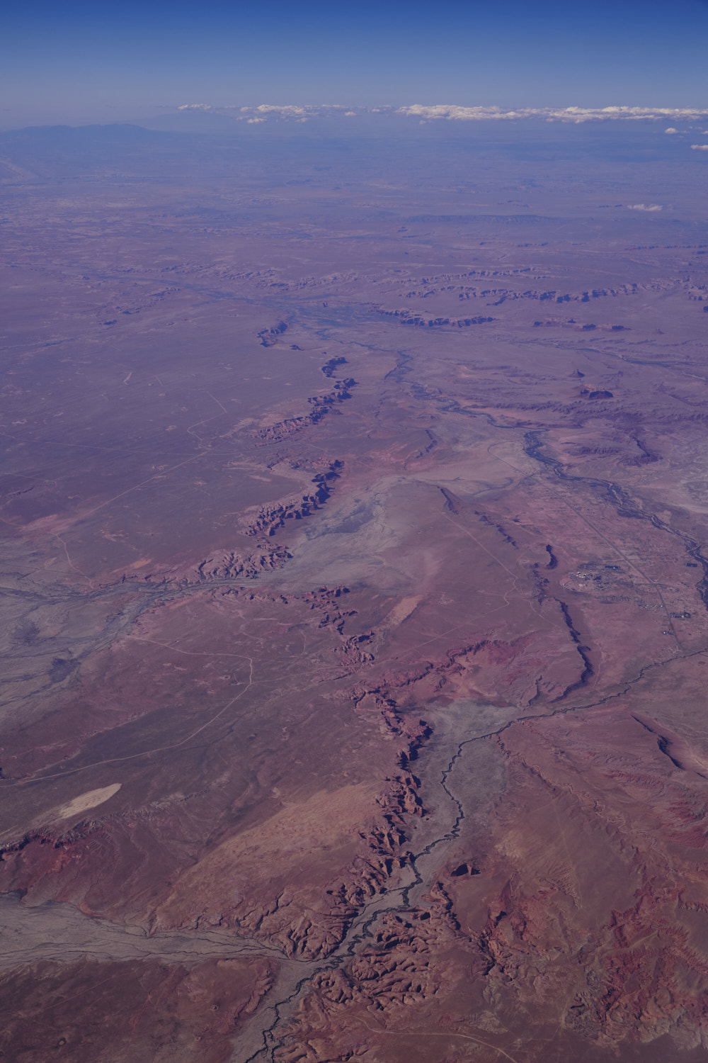 great landscape photos, but pack some extra water
 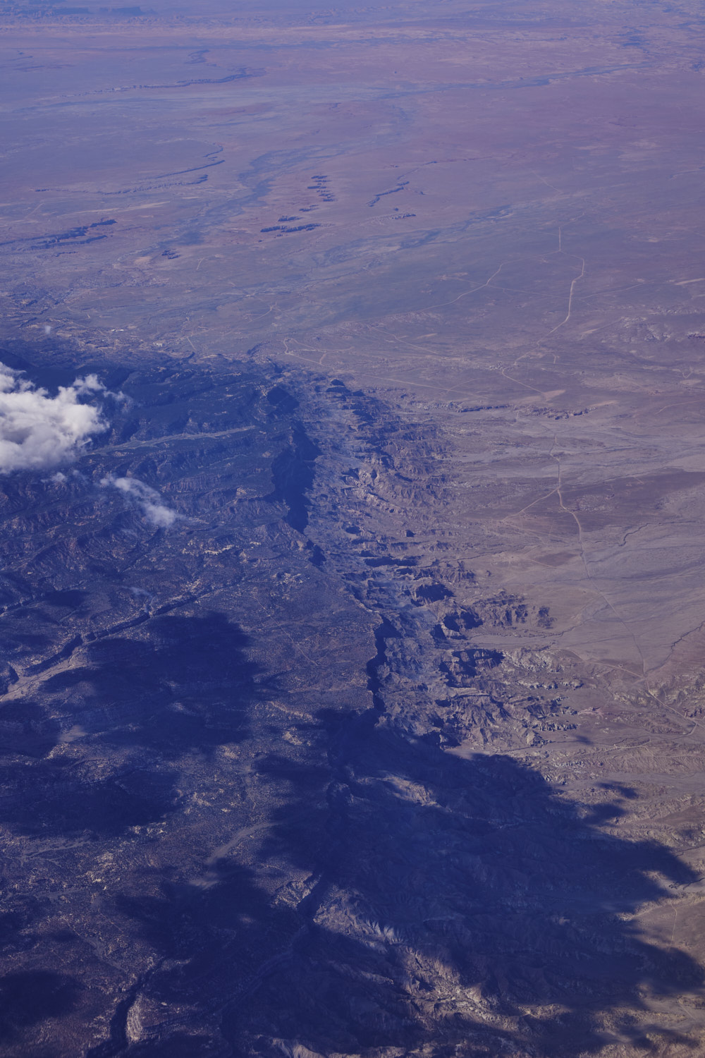 another escarpment and new plateau
  wait a sec
 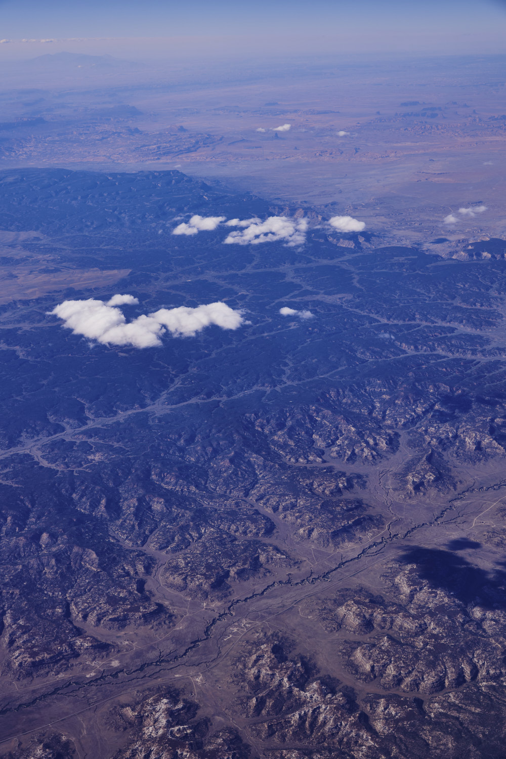 woauw, yes, that’s Monument Valley in the distance
 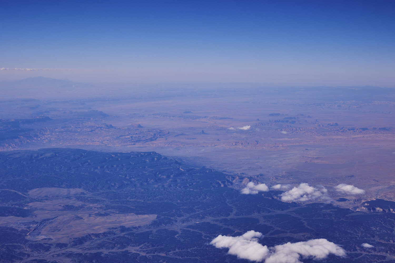 can clearly make out Agathla Peak and the solar farm, did not expect to be flying over ( or near ) Monument Valley on this trip, so cool, was there on a roadtrip about 4-5 months ago, check out the photos from that trip here
  Navajo Trail
  Coconino County
 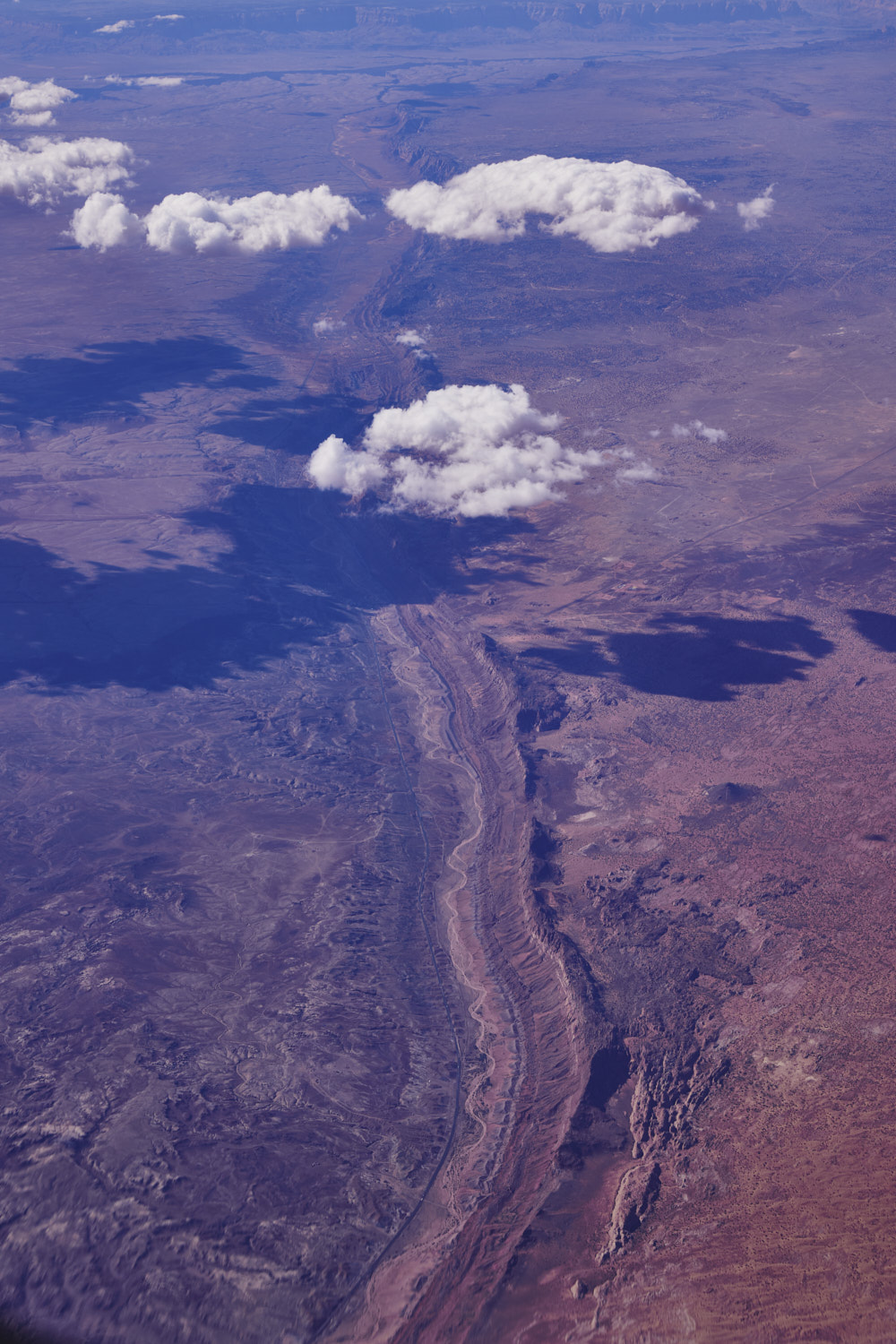 Hamblin Ridge
 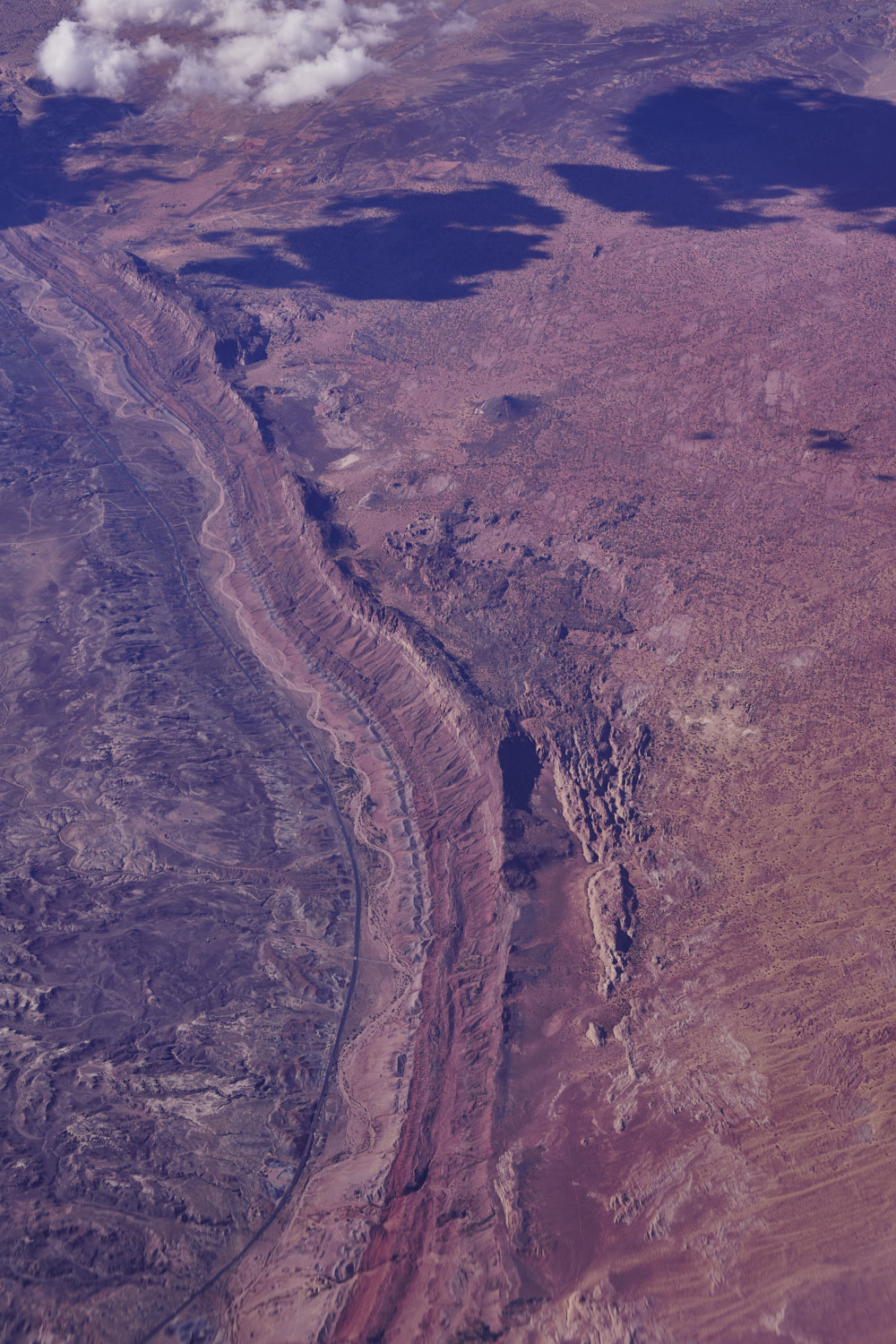 and the 89 near Willow Springs
 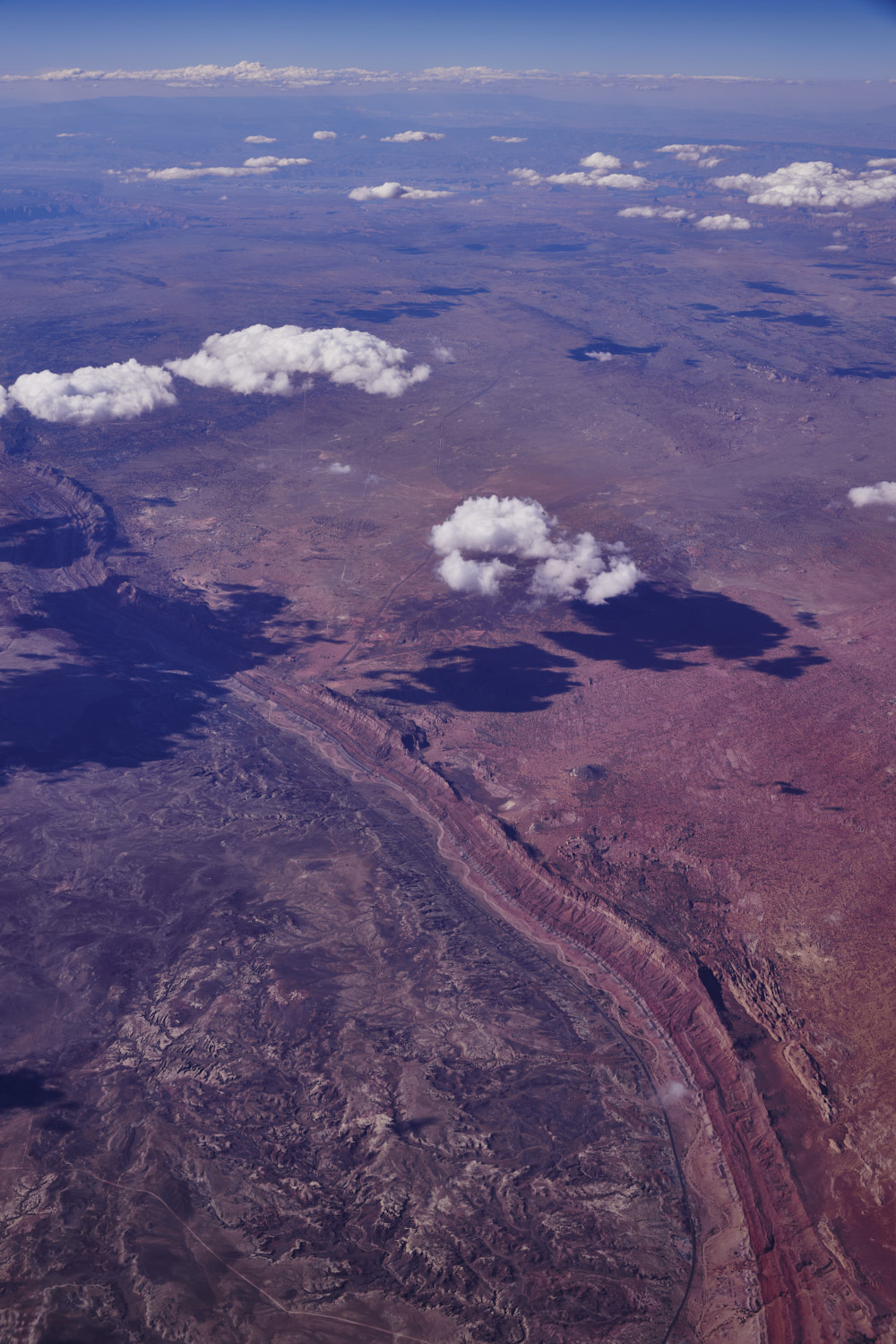 Arizona Colours
 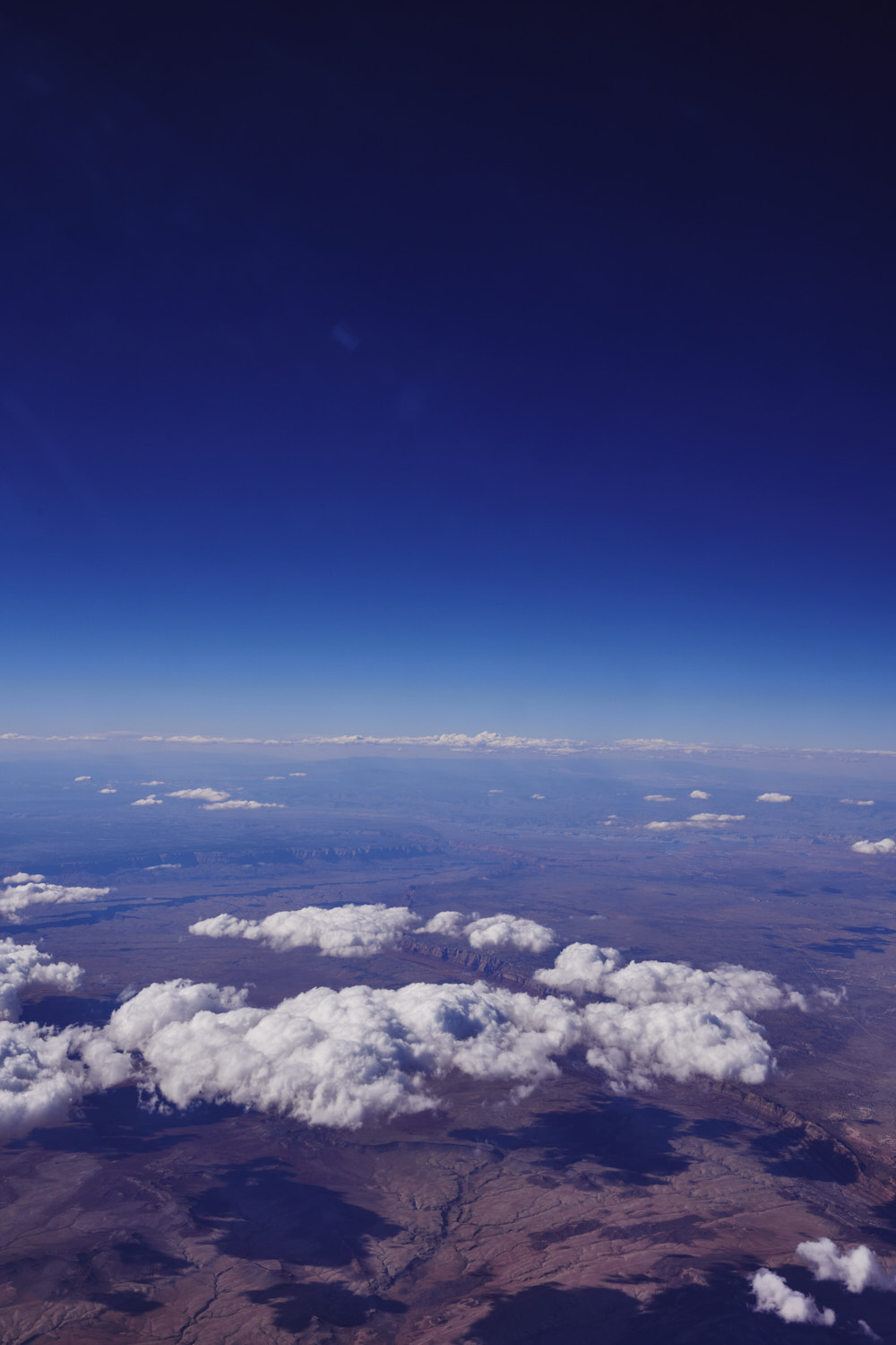 Still Coconino County
 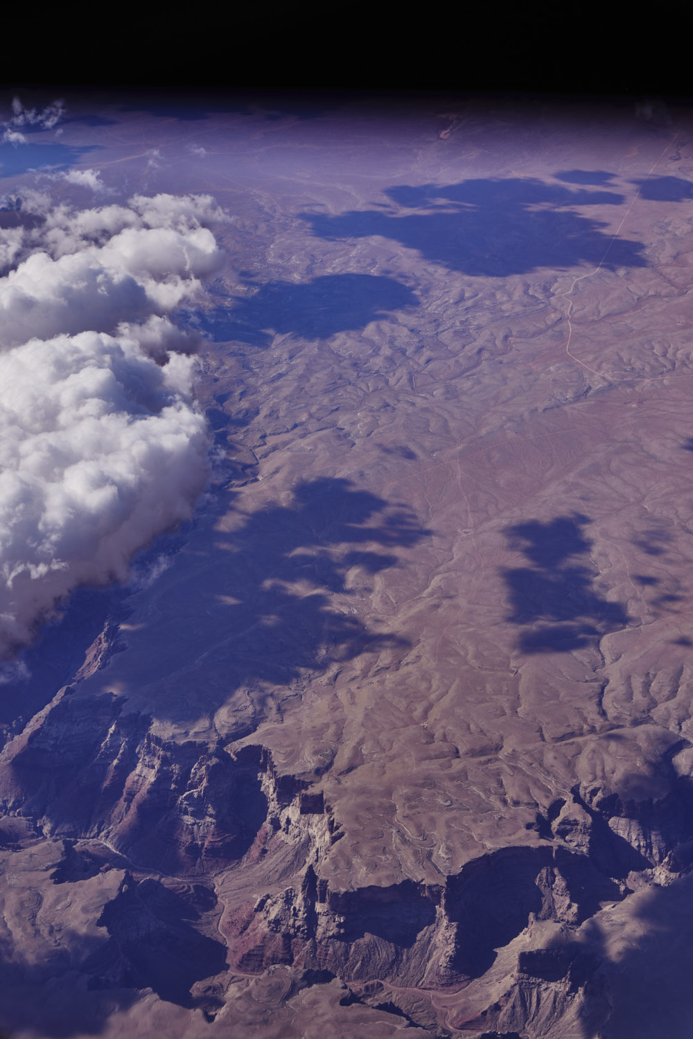 Another dry river bed at the bottom of a canyon near Little Colorado River
 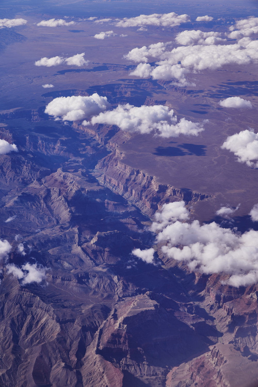 Colorado River
 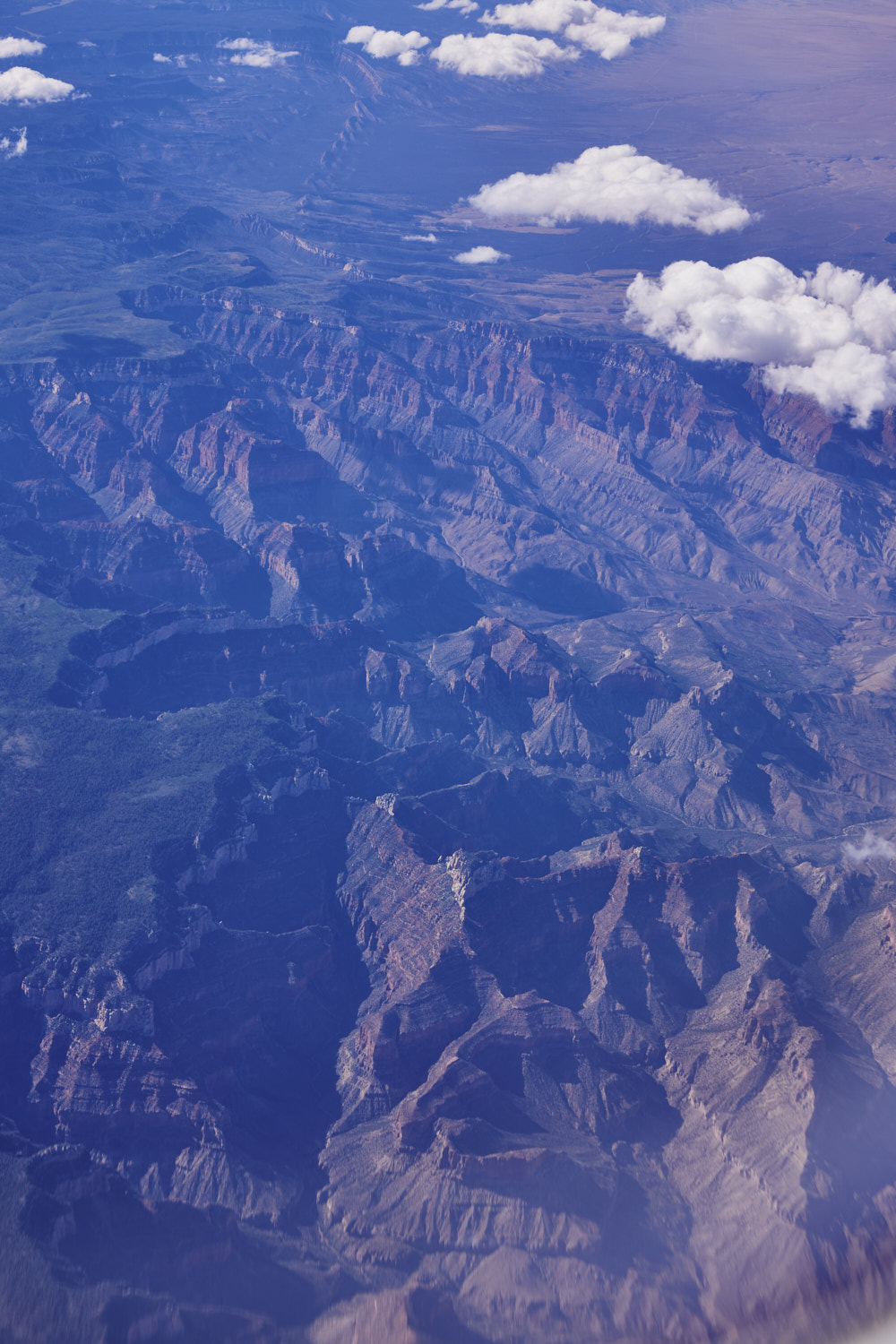 amazing
 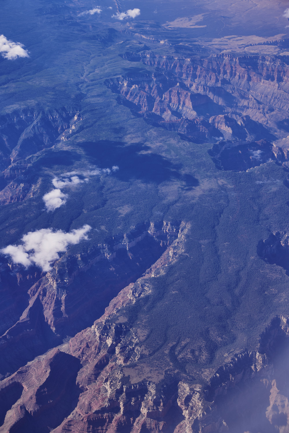 The view you would have if you were at Grand Canyon village right now ( flying right over the top of it )
 North Rim of the Kaibab Plateau
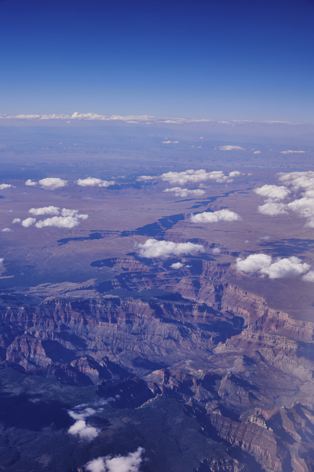 Grand Canyon National Park
 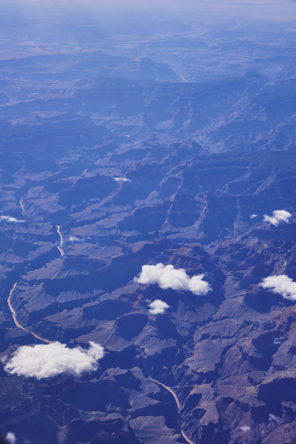 and the mighty Colorado River
 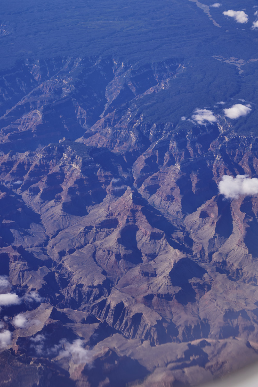 Grand Canyon National Park
 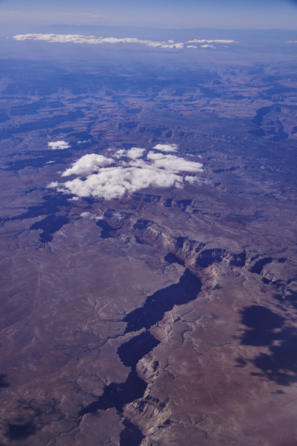 part of the Canyon that forms Havasu Creek
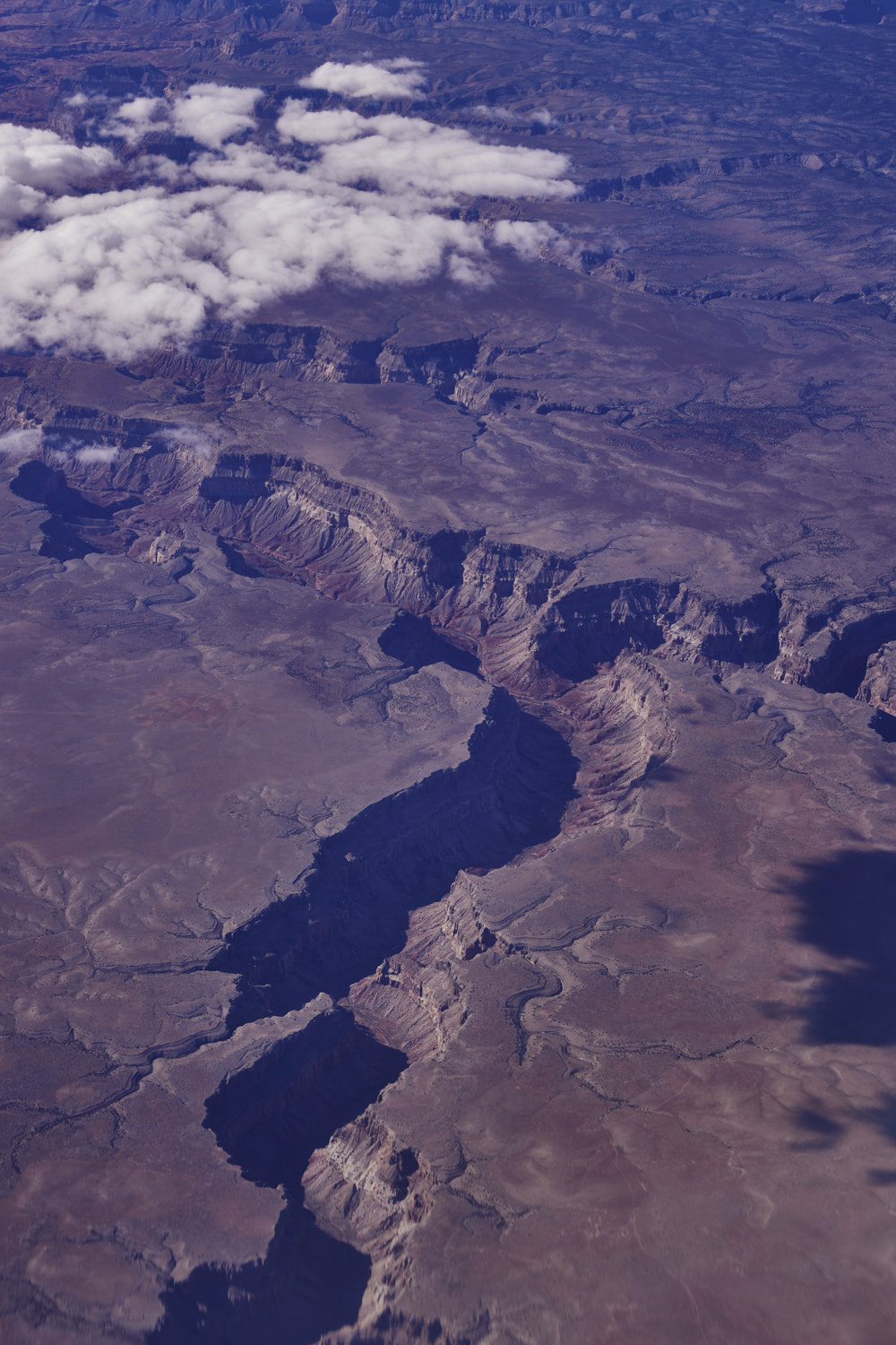 steep, erosion, just looks amazing
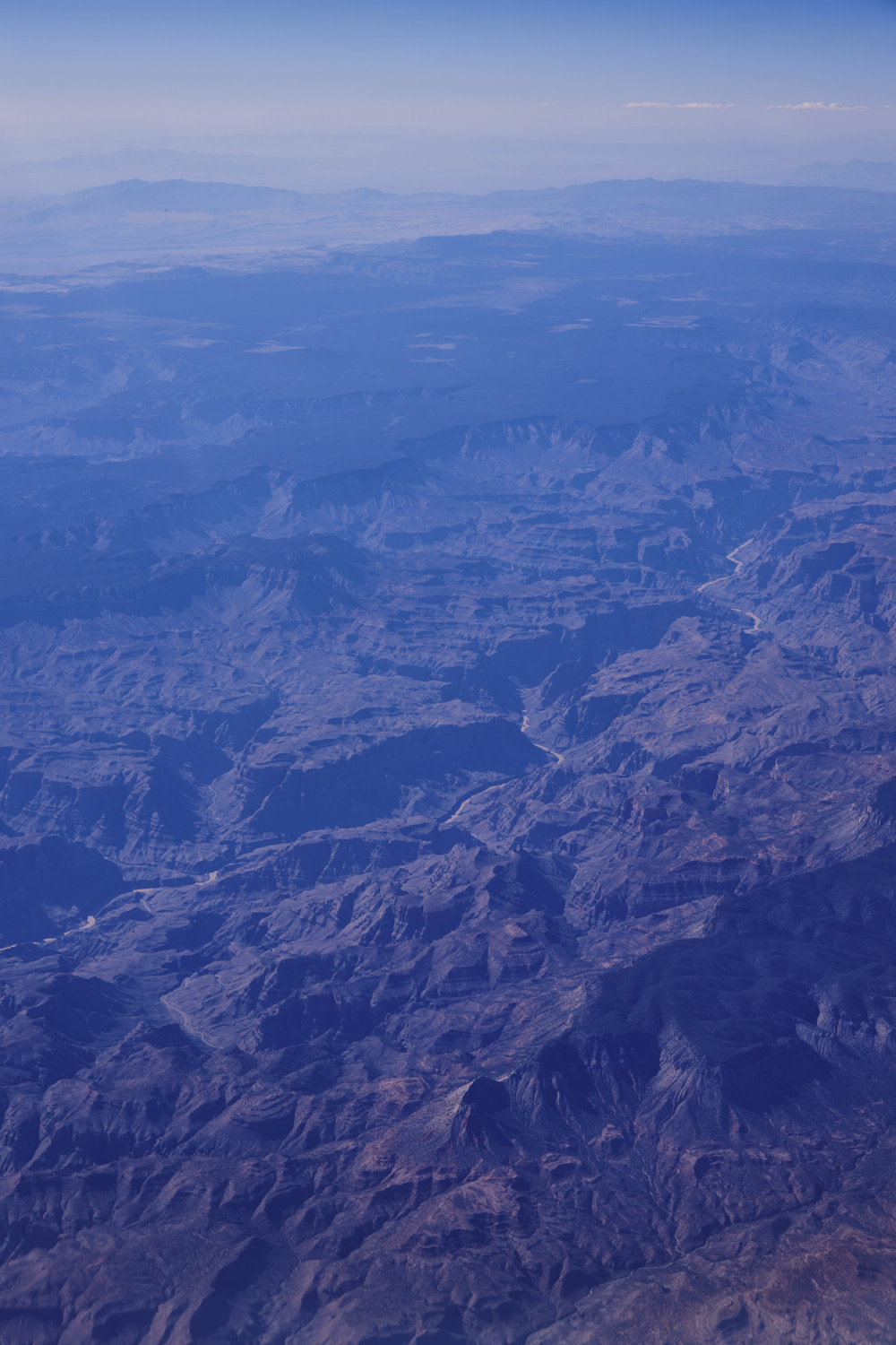 rugged
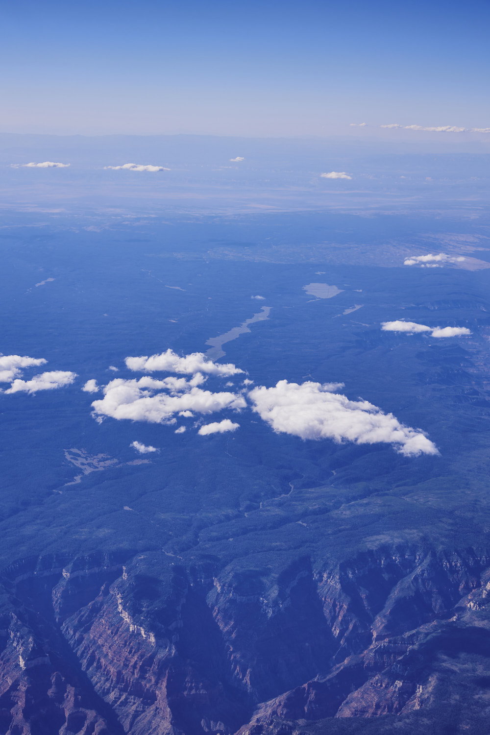
 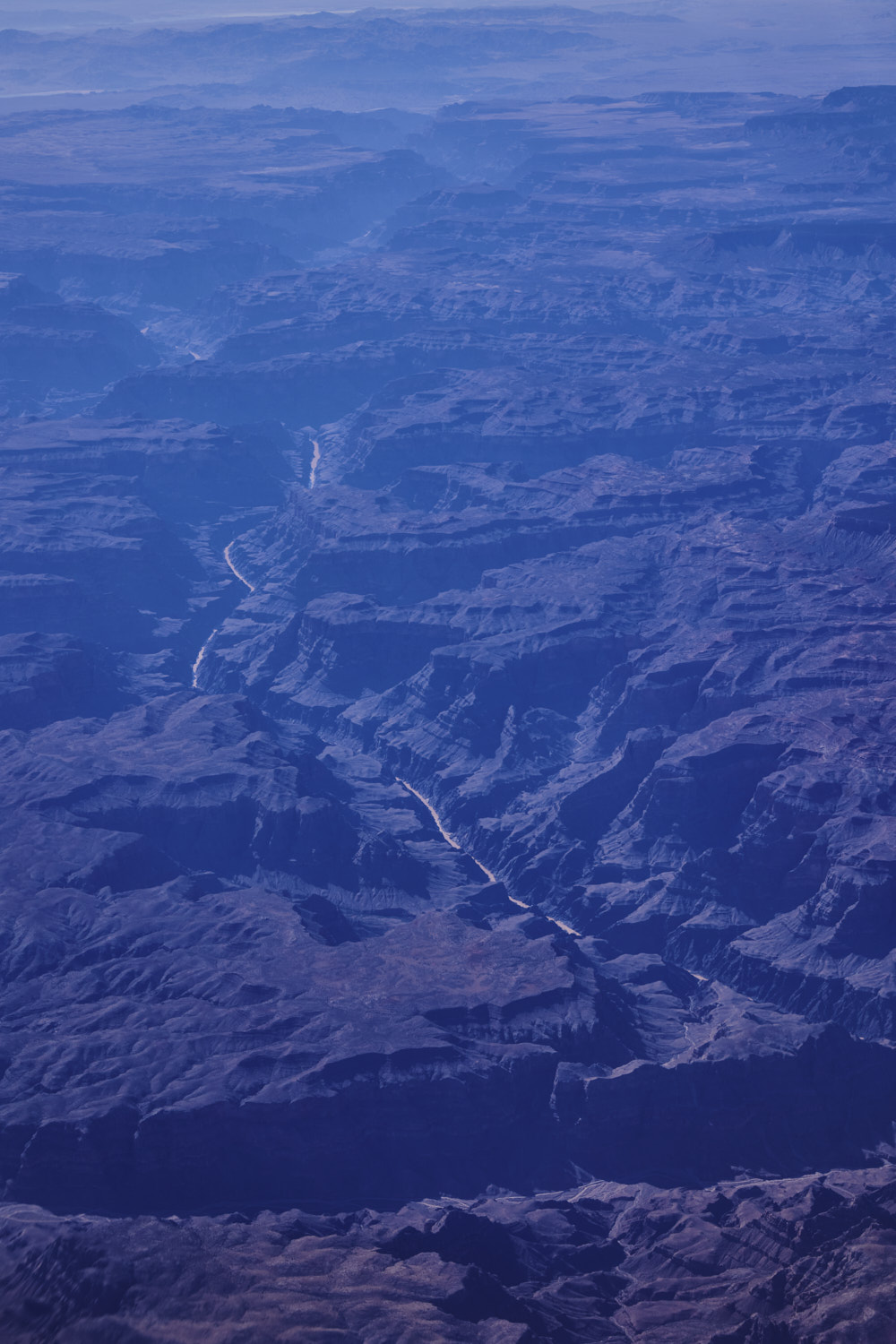 and the Colorado river again, near Travertine Falls
 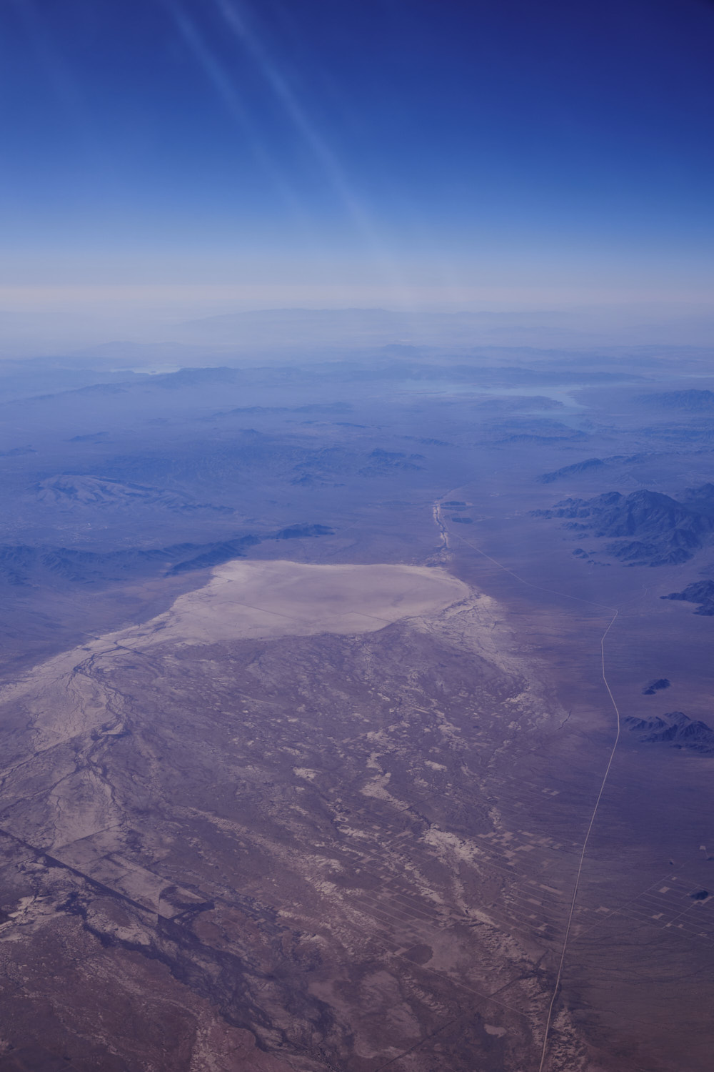 The Anteras 149 running along a big sand patch with no name
 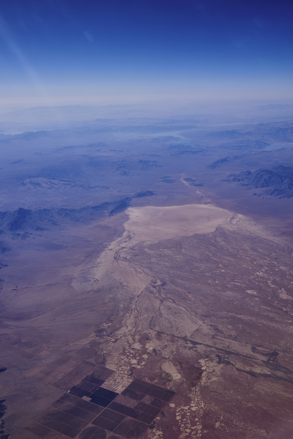 and lake Mead above it
 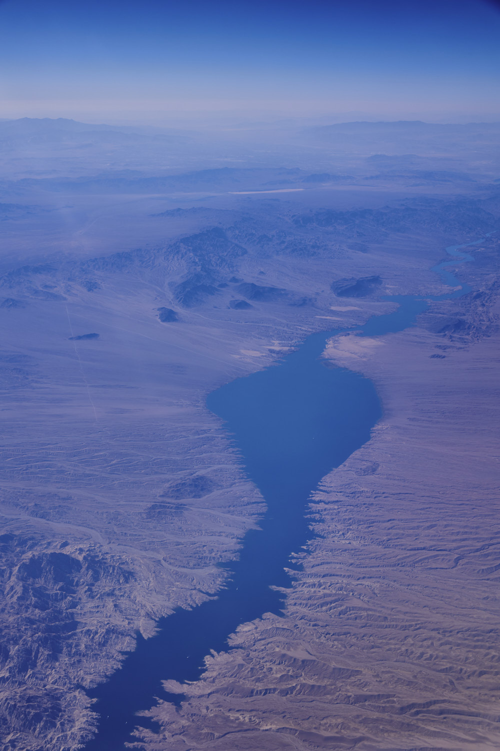 Lake Mohave, fed by the Colorado River
 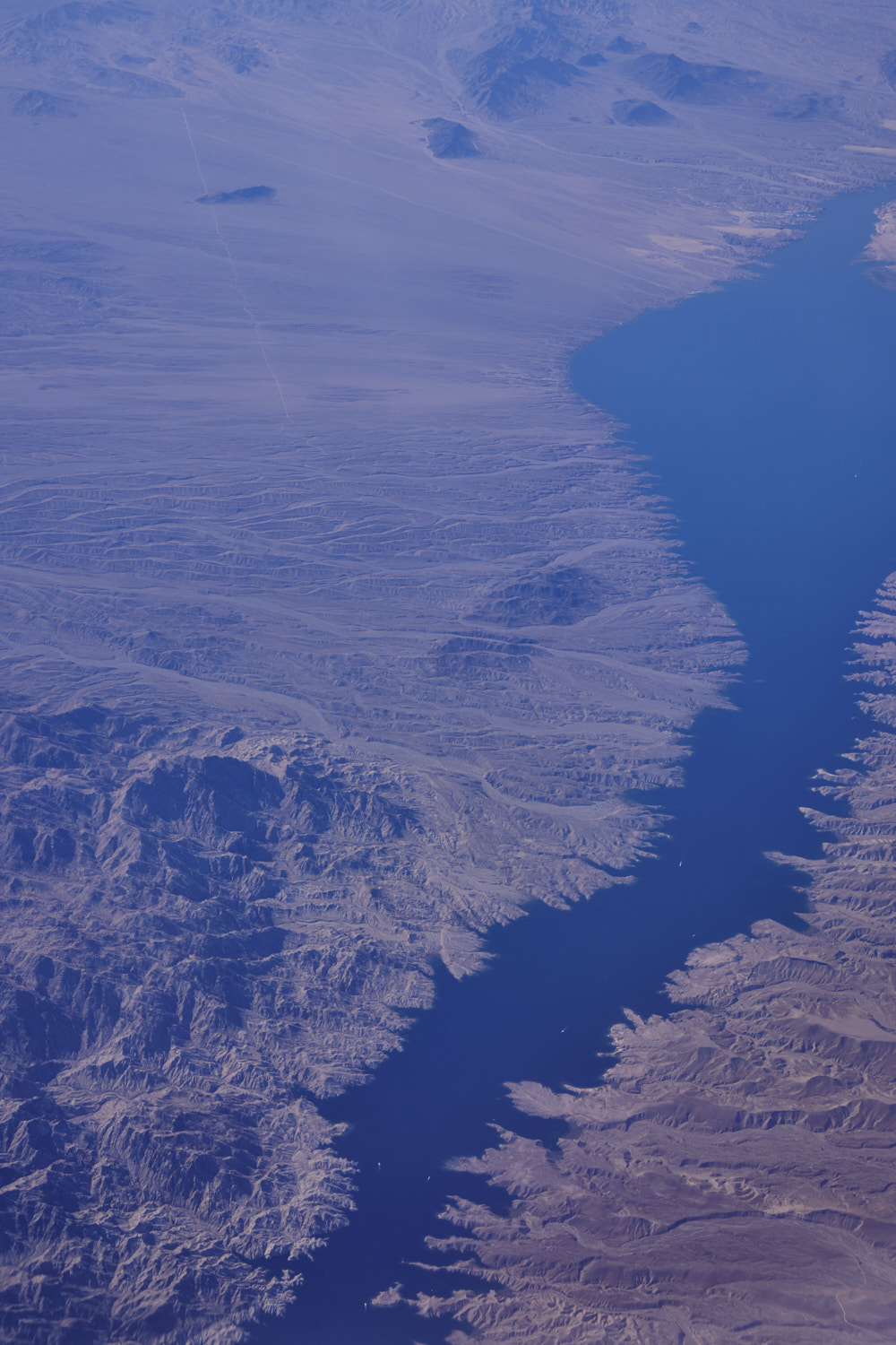 and also the border of Nevada / Arizona
 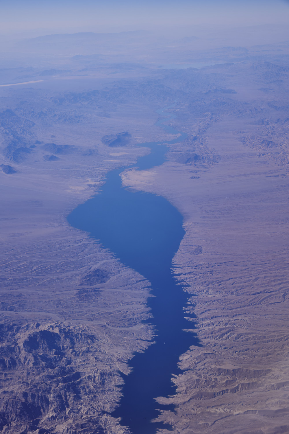 spot the pleasure boats
 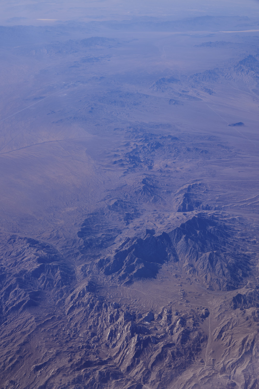 Spirit Mountain and the road you see is called Christmas Tree Pass Road
 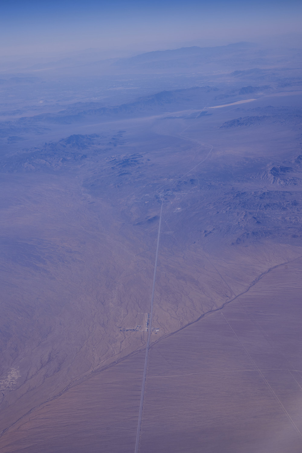 Cal-Nev-Ari town on the 95, about to cross into California, we are at the bottom of Nevada, its like a triangle wedged between California and Arizona, hence the name of this town Cal-Nev-Ari
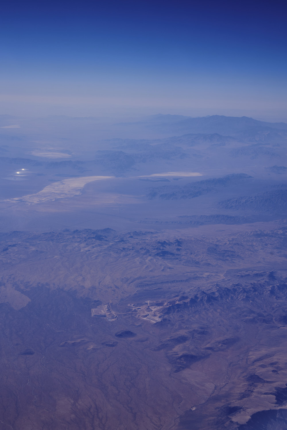 Crossed over into California now Hart.
Hart was a short-lived gold mining town located in the Mojave desert, in San Bernardino County, California. It existed between 1908 and 1915, and was located on the northeastern edge of Lanfair Valley near the New York Mountains 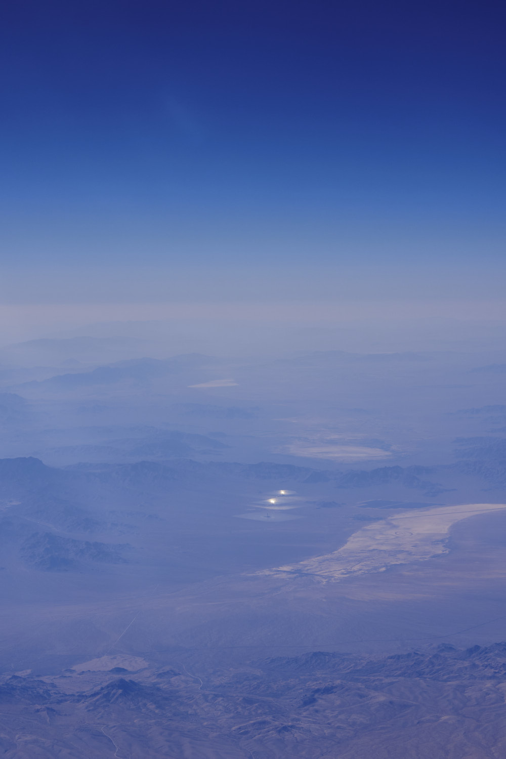 Ivanpah Solar Electric Generating System
 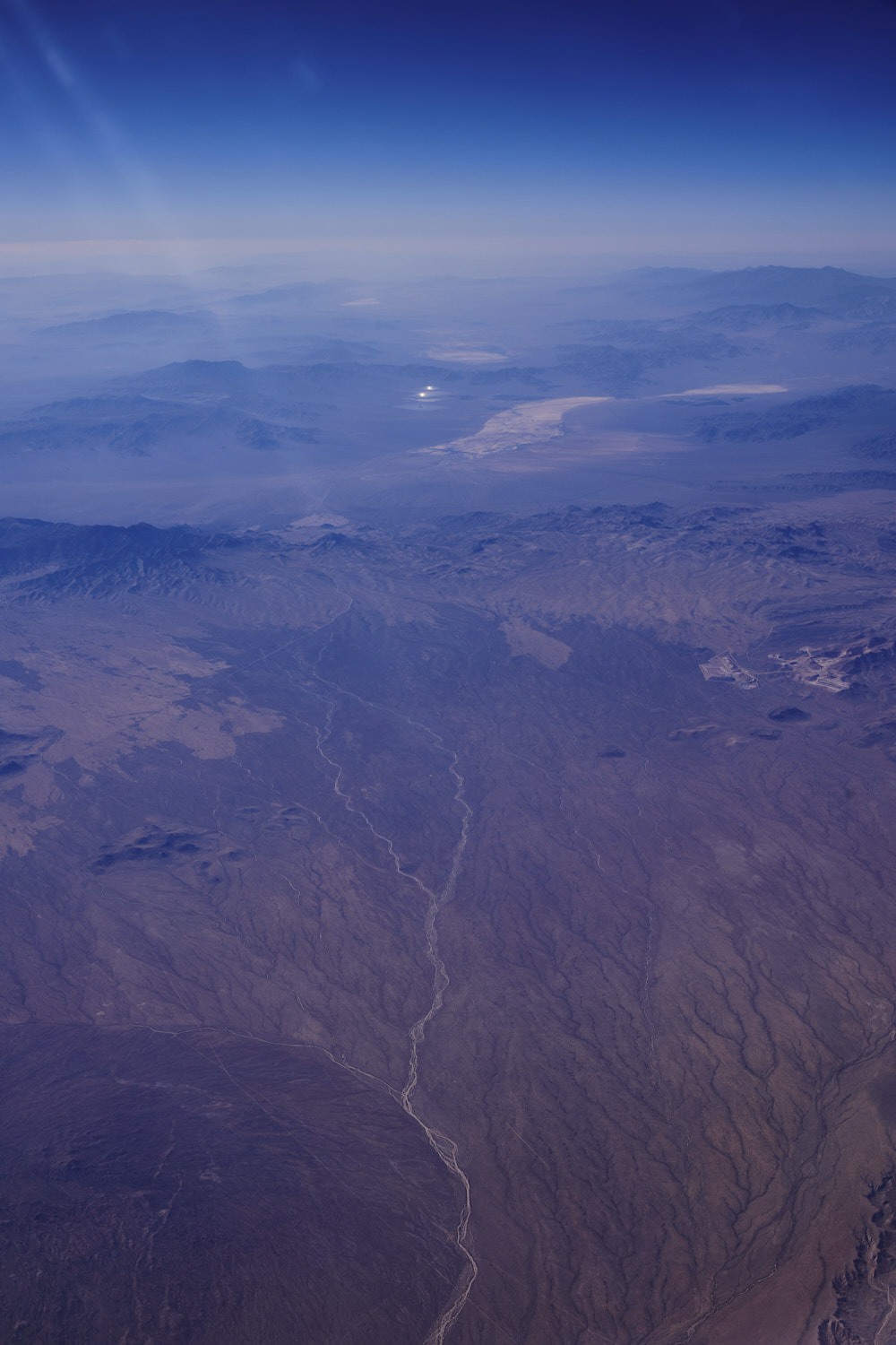 Mojave Natural Preserve and another dry river bed
 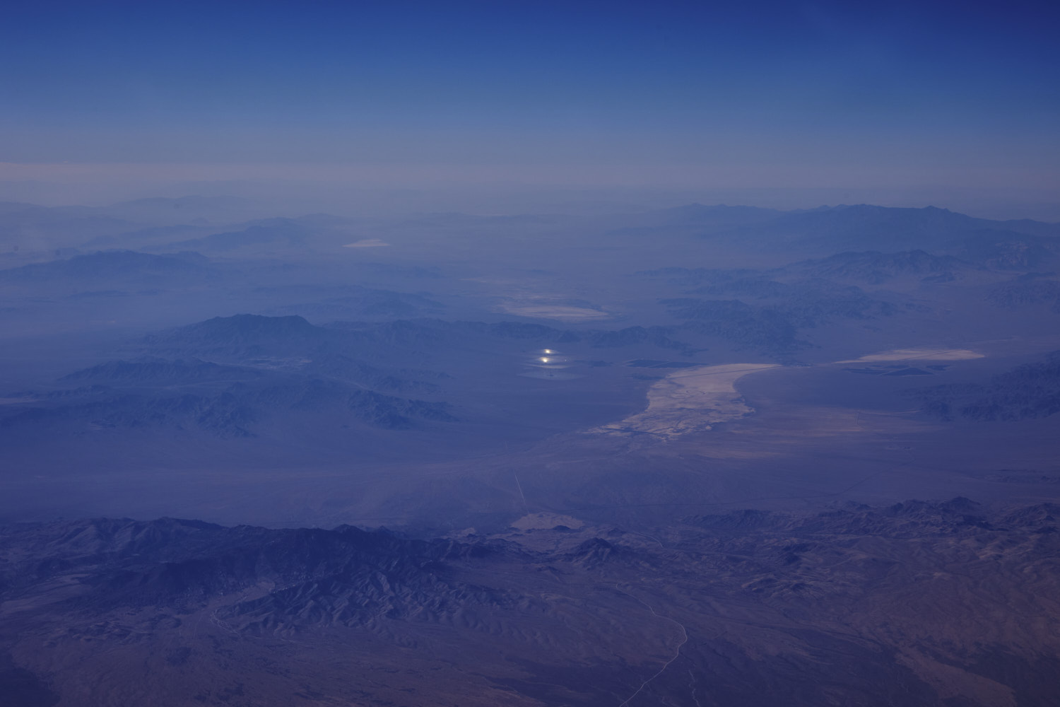 Ivanpah Solar Electric Generating System looks incredible from up here
 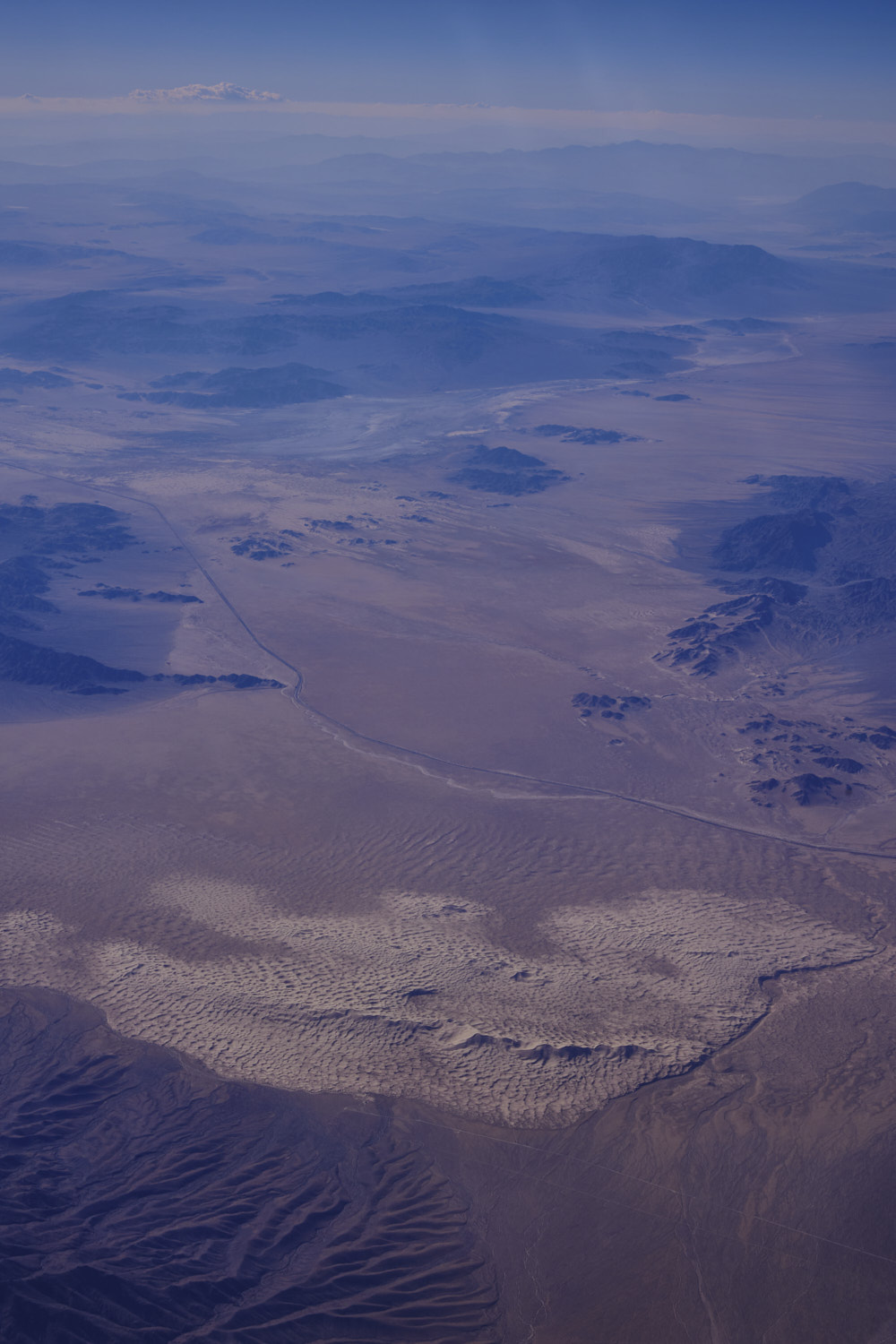 Kelso Sand Dunes
 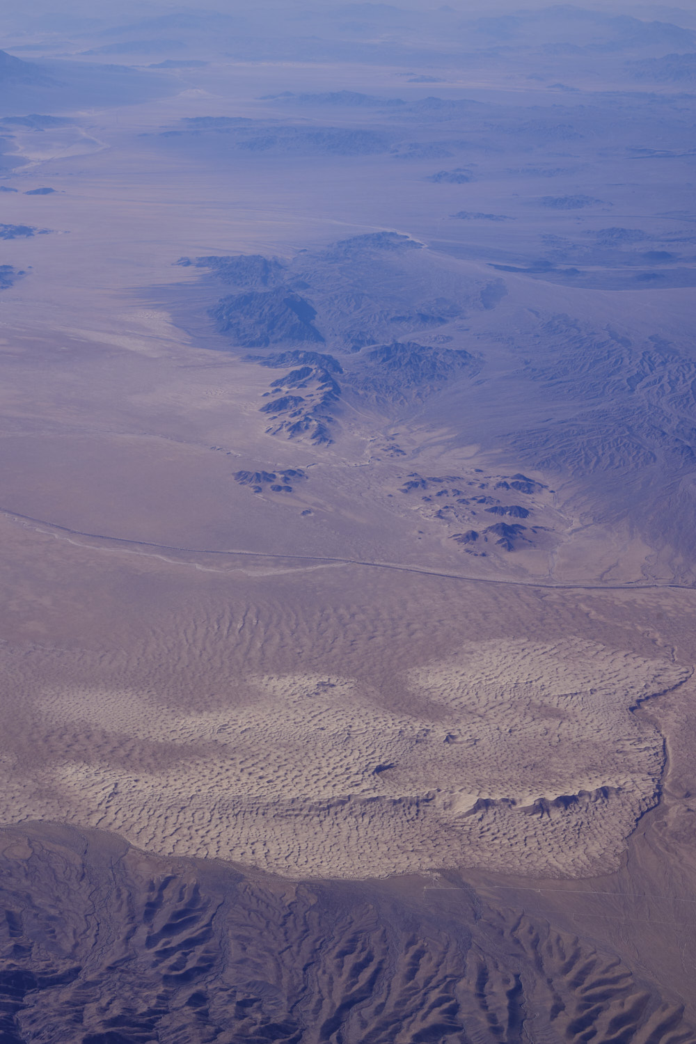 Kelso Sand Dunes, only 3 and half hour drive from Los Angeles
 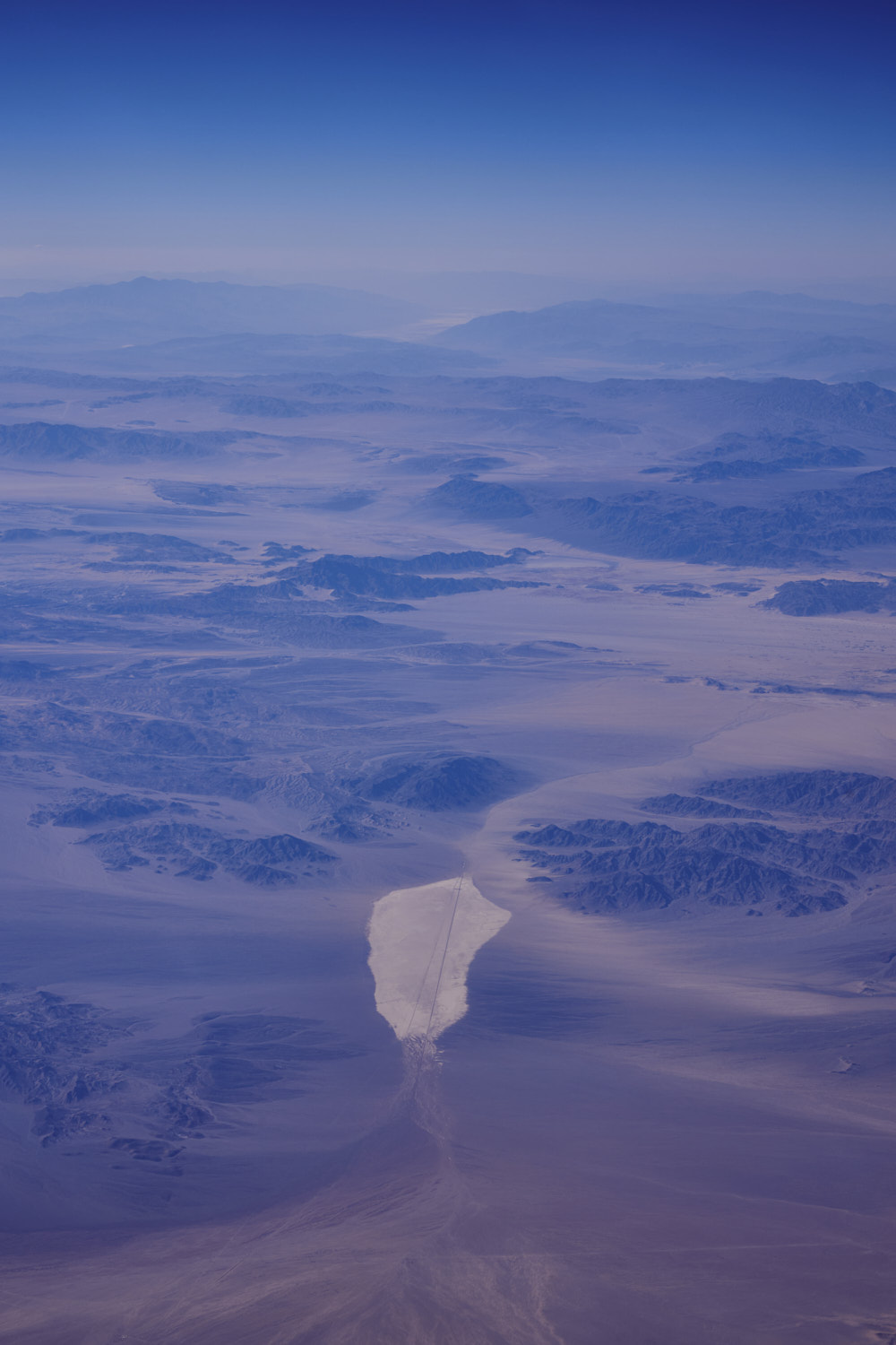 Broadwell Dry Lake
 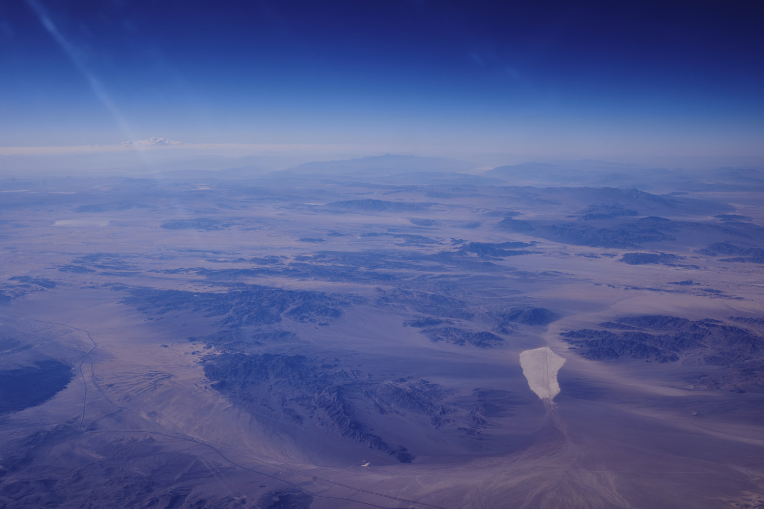 Above the 40 San Bernardino County
 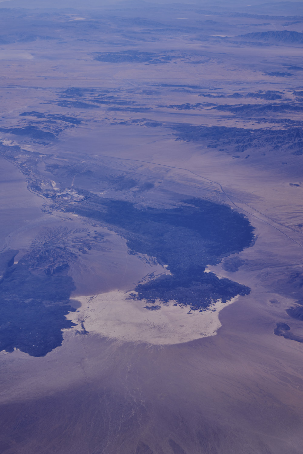 Lavic Lake Volcanic Field
 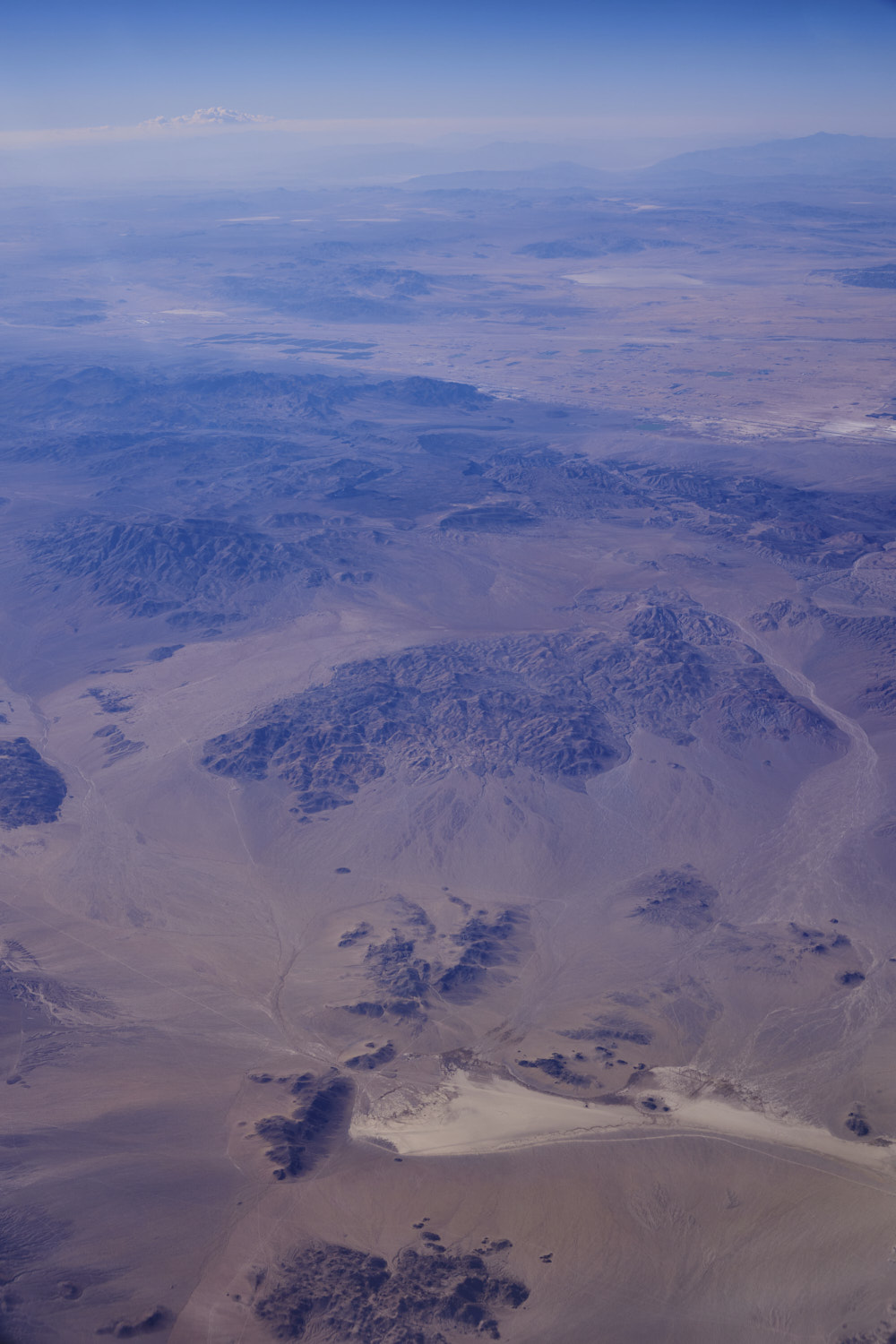 Just North of Joshua Tree near Galway Lake
 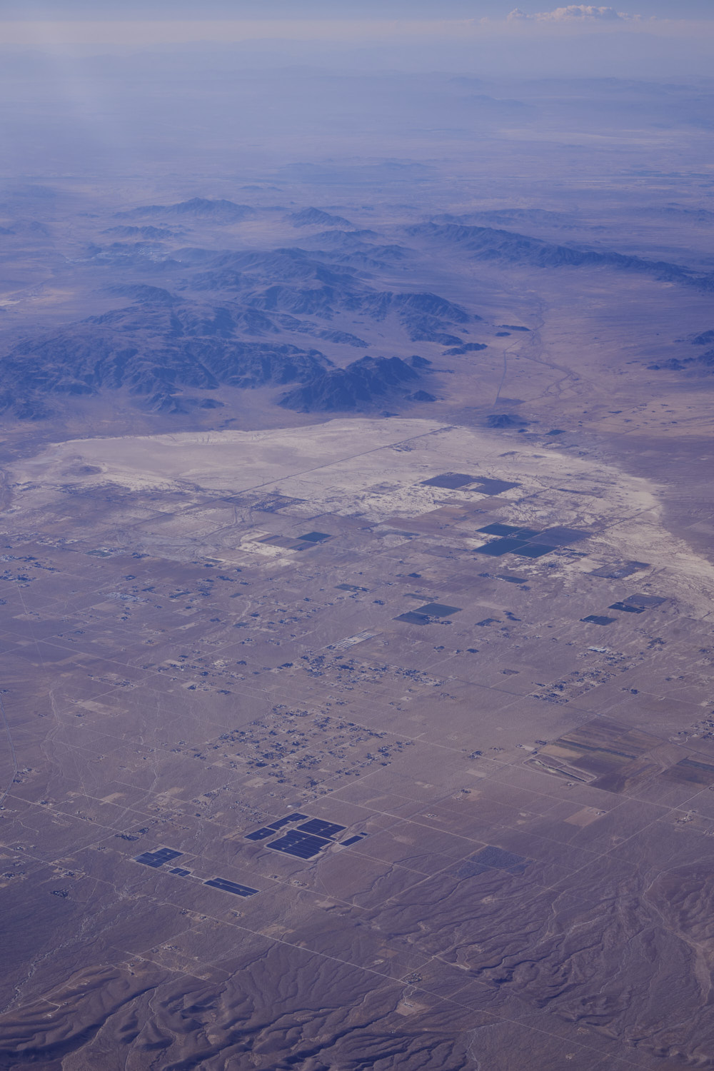 Lucerne Valley
 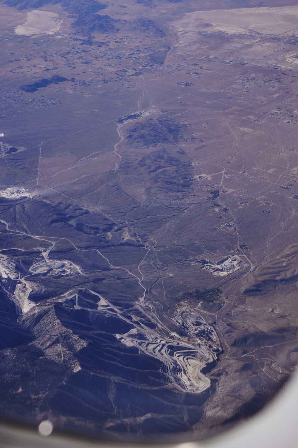 I took this road last January after my visit to Monument Valley back to Los Angeles, the Mitsubishi Cement Factory
 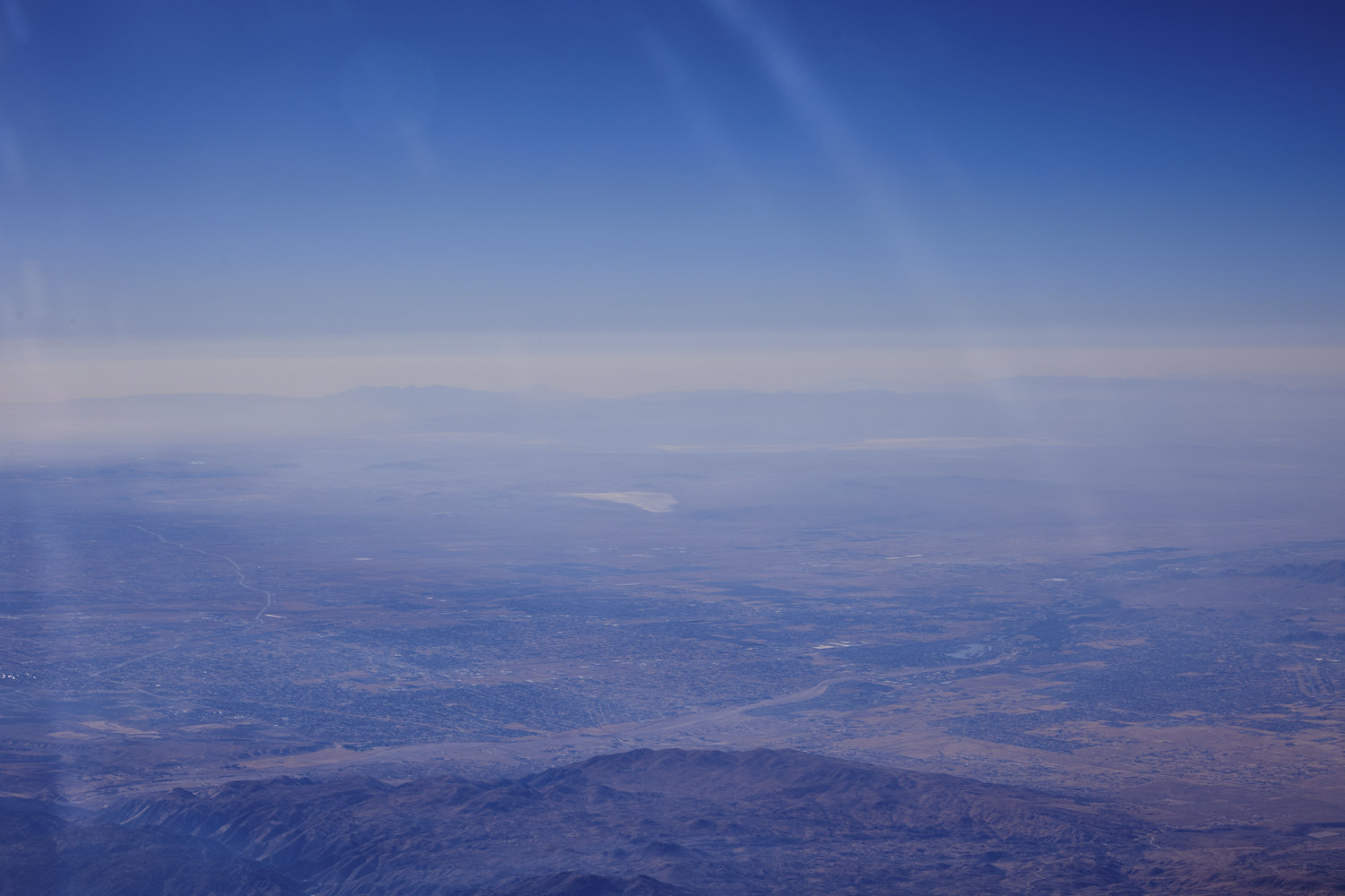 looking across Apple Valley with El Mirage in the middle and Edwards Air Force Base beyond it
 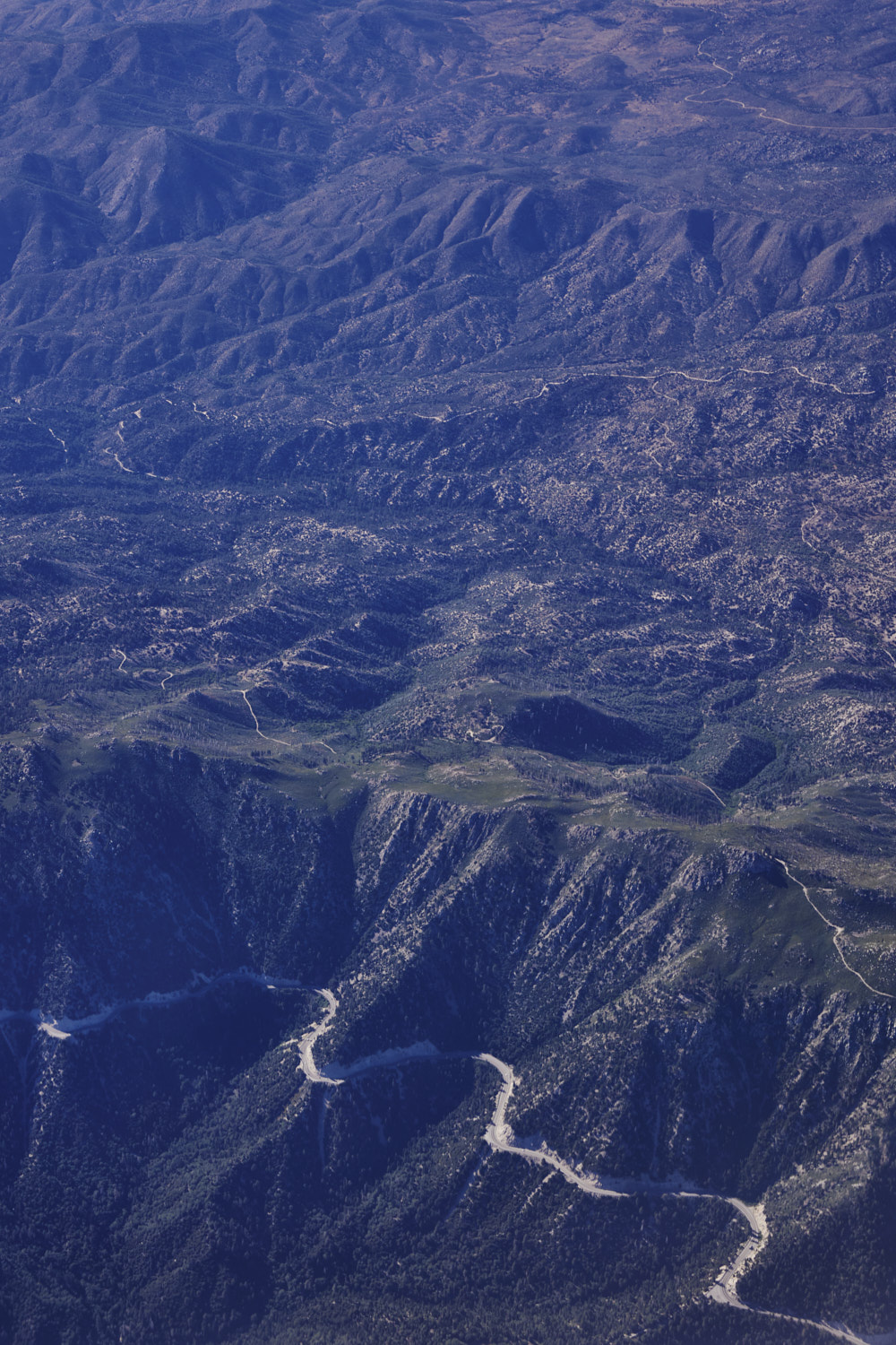 Butler Peak and Rim of The World Scenic Byway
 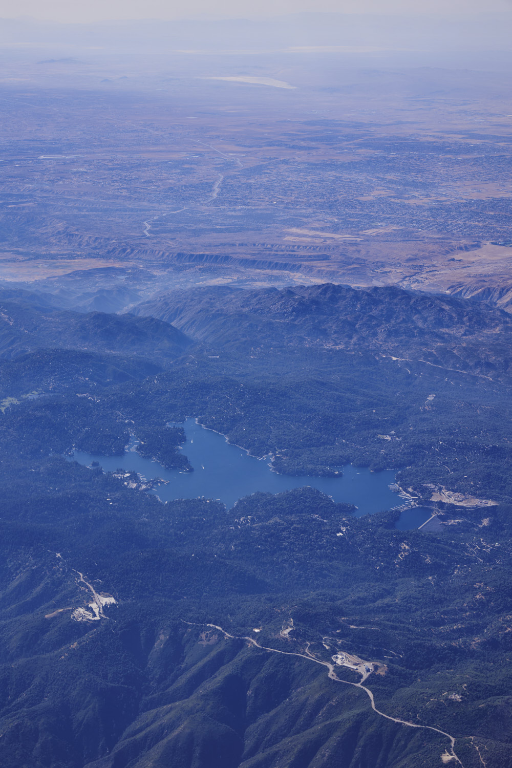 Lake Arrowhead
 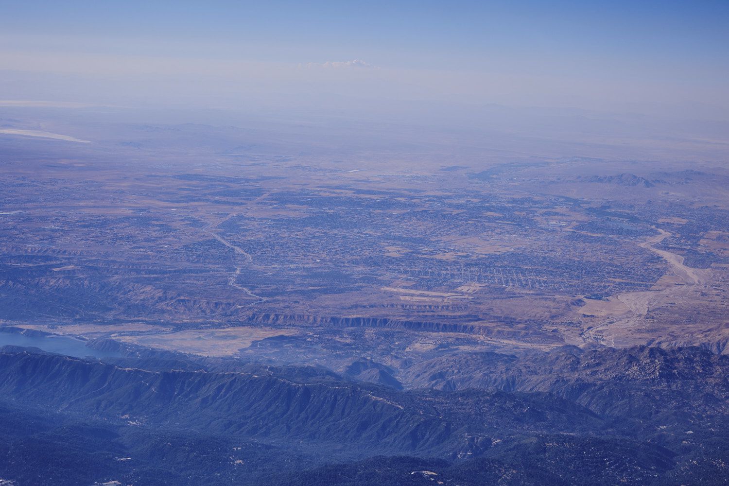 Hesperia
 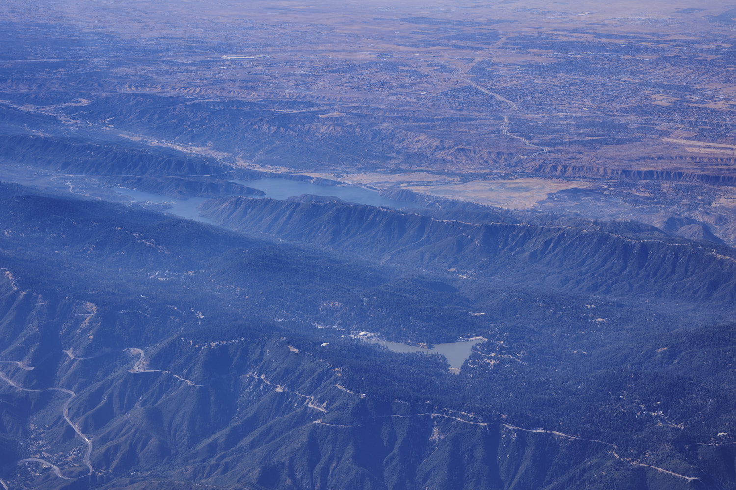 Silverwood Lake and Lake Gregory
 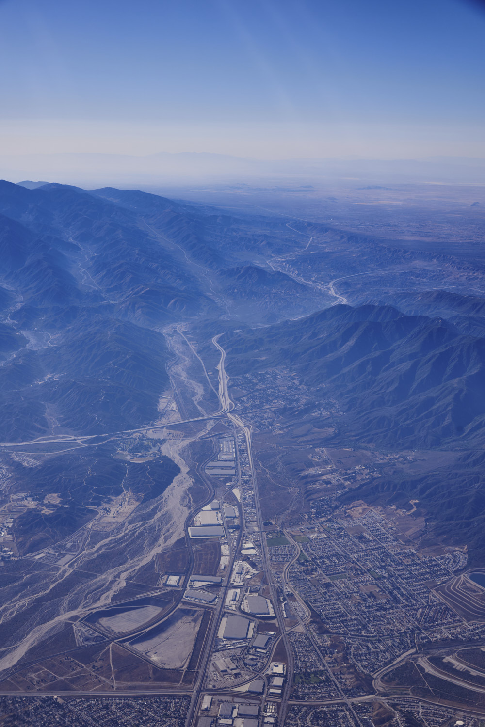 The 215 and 15 ( been there )
 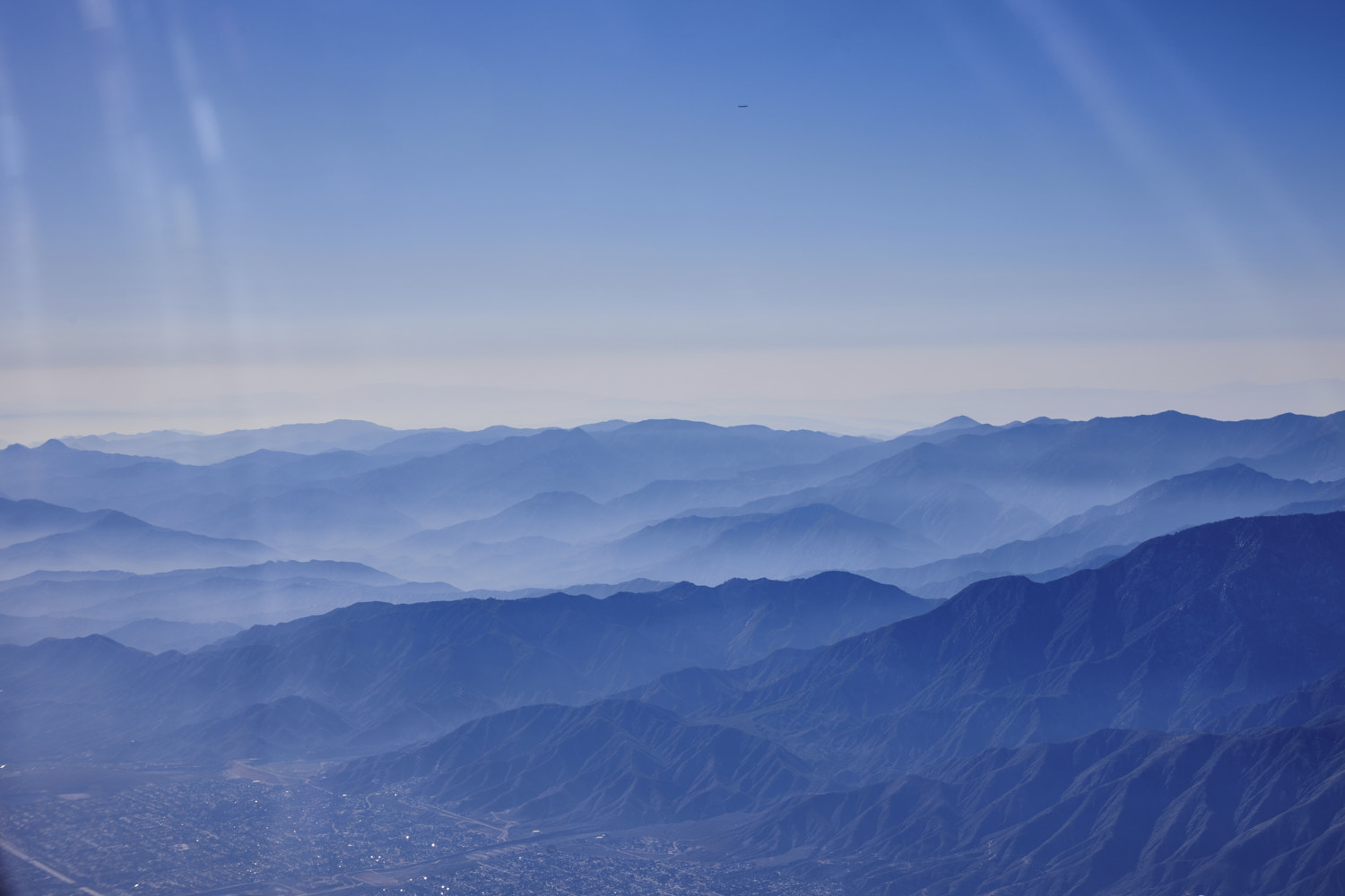 Angeles National Forest
 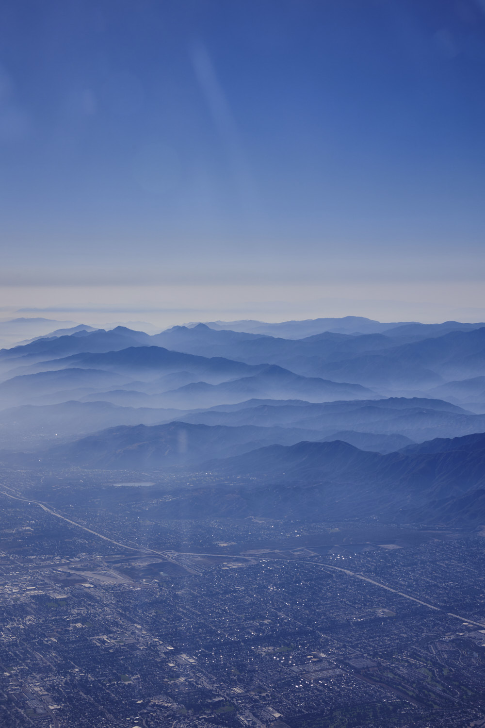 and descending, getting ready to land
 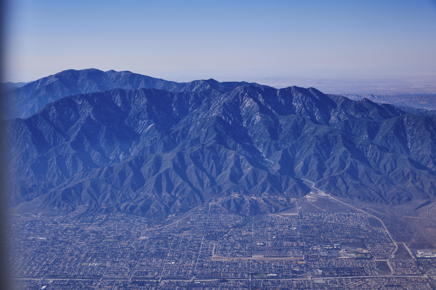 Cucamonga Wilderness behind suburban Los Angeles
 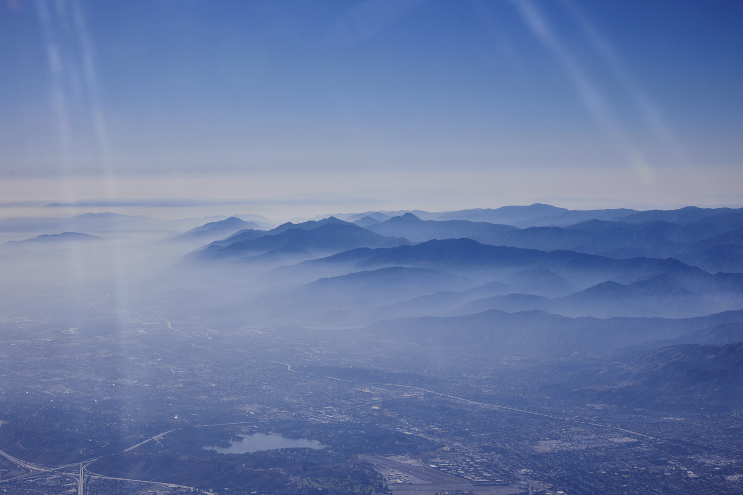 love that misty look, Puddingstone Lake
 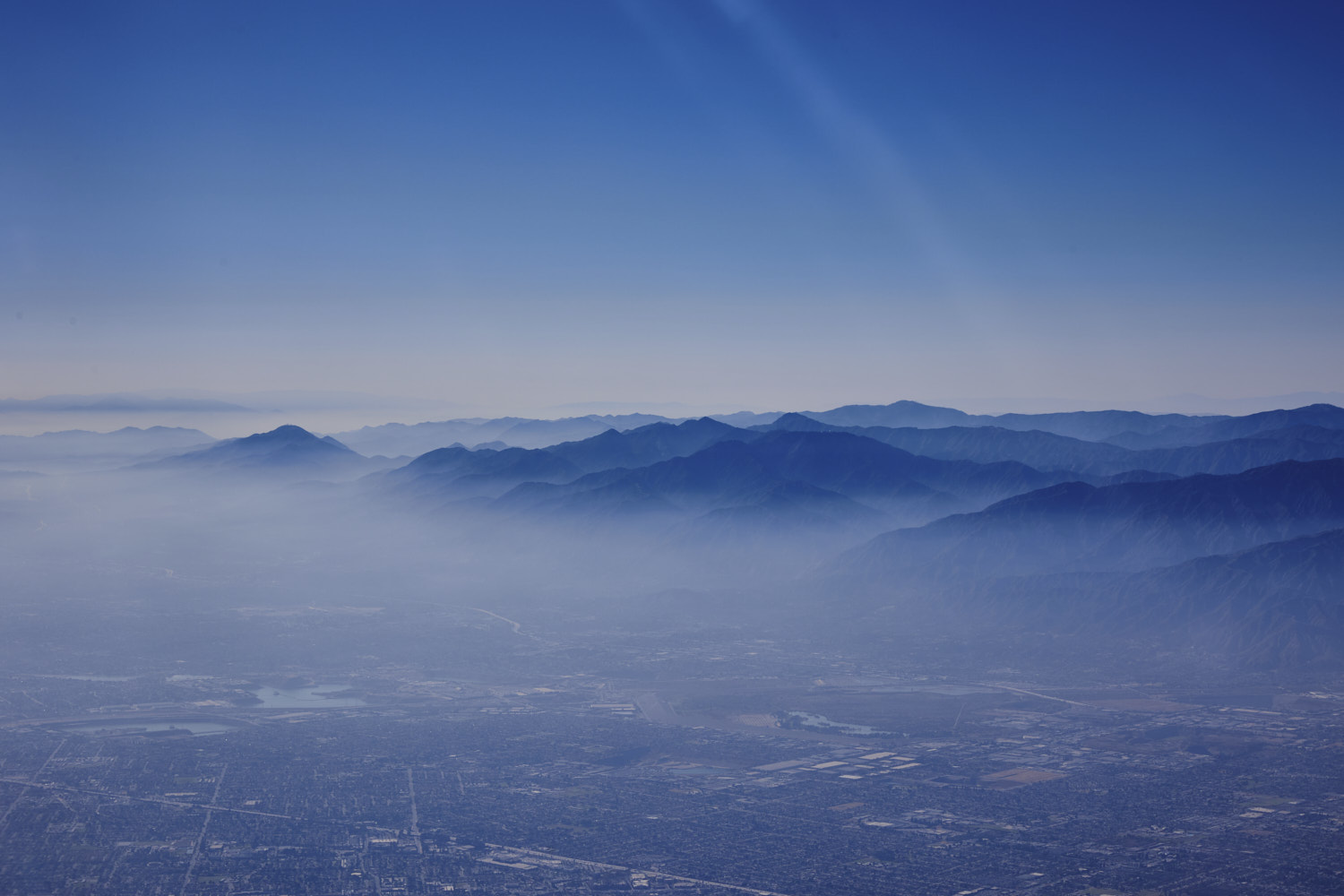 pretty
 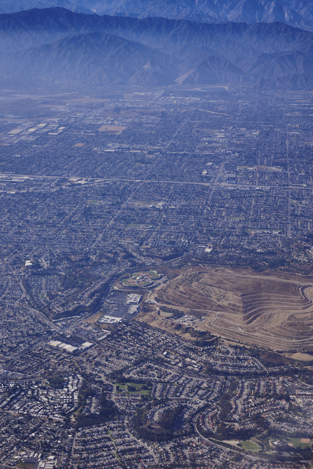 looks like a mine, but it is raised, so makes me wonder if it used to be a tip , right next to it you can see the Big League Dreams Baseball park
 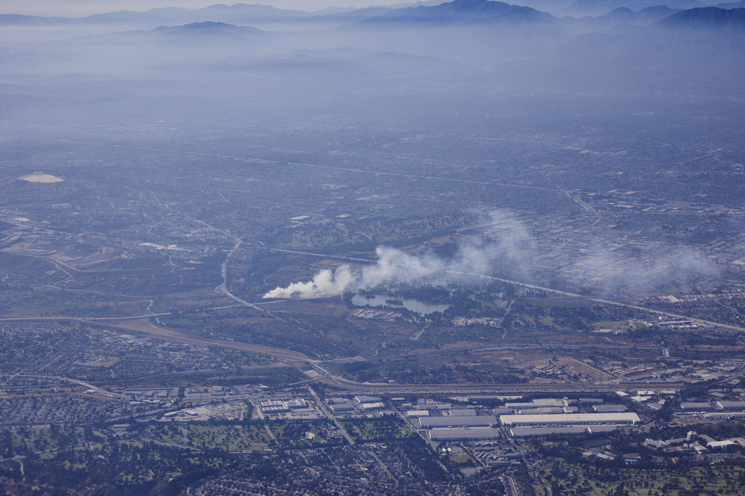 Fire reported at Bosque Del Rio Hondo
 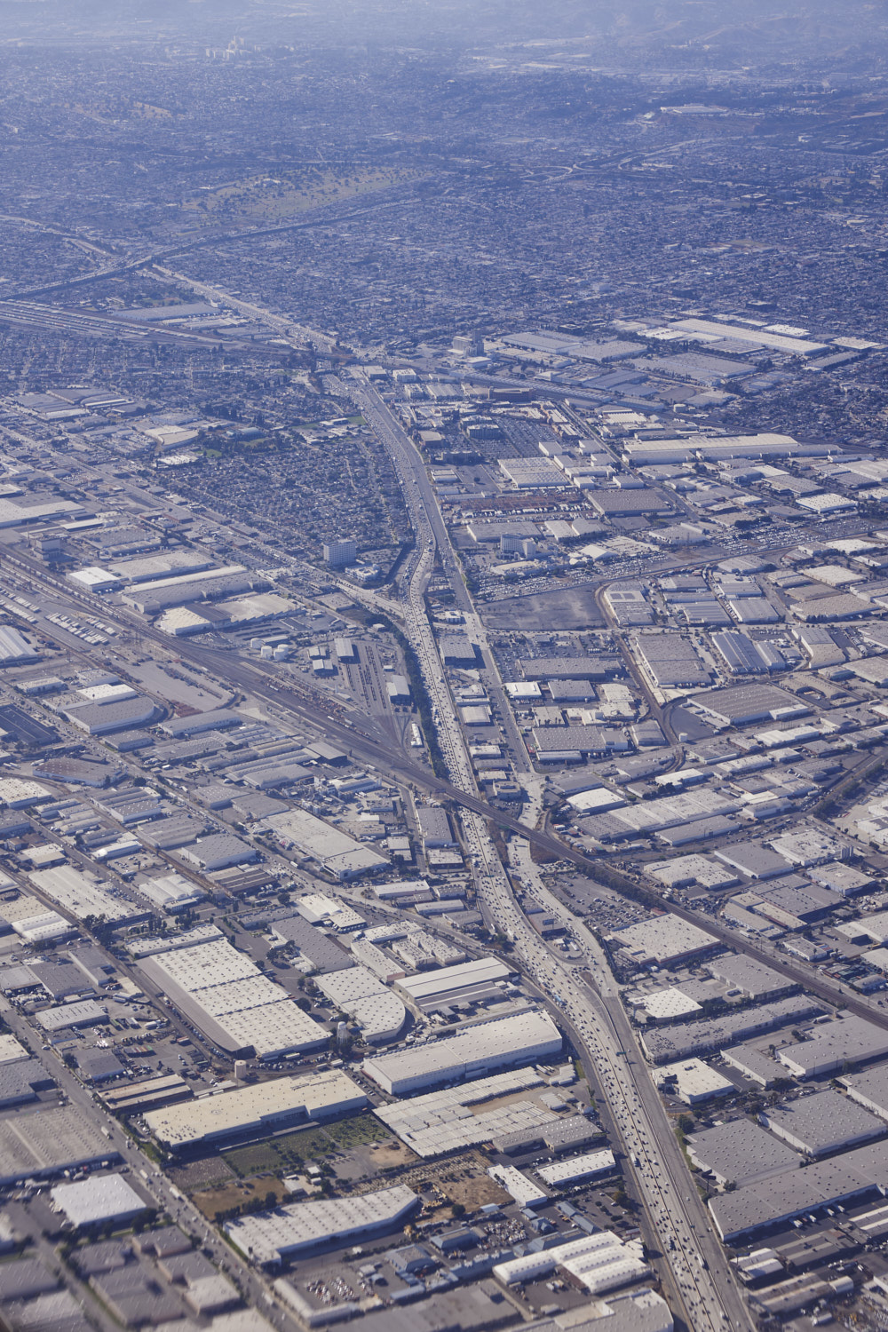 Rail Line crossing the 5 at Commerce
 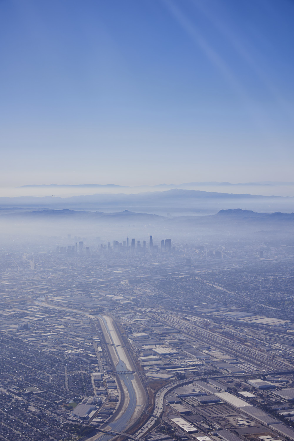 LA Skyline and the Los Angeles River
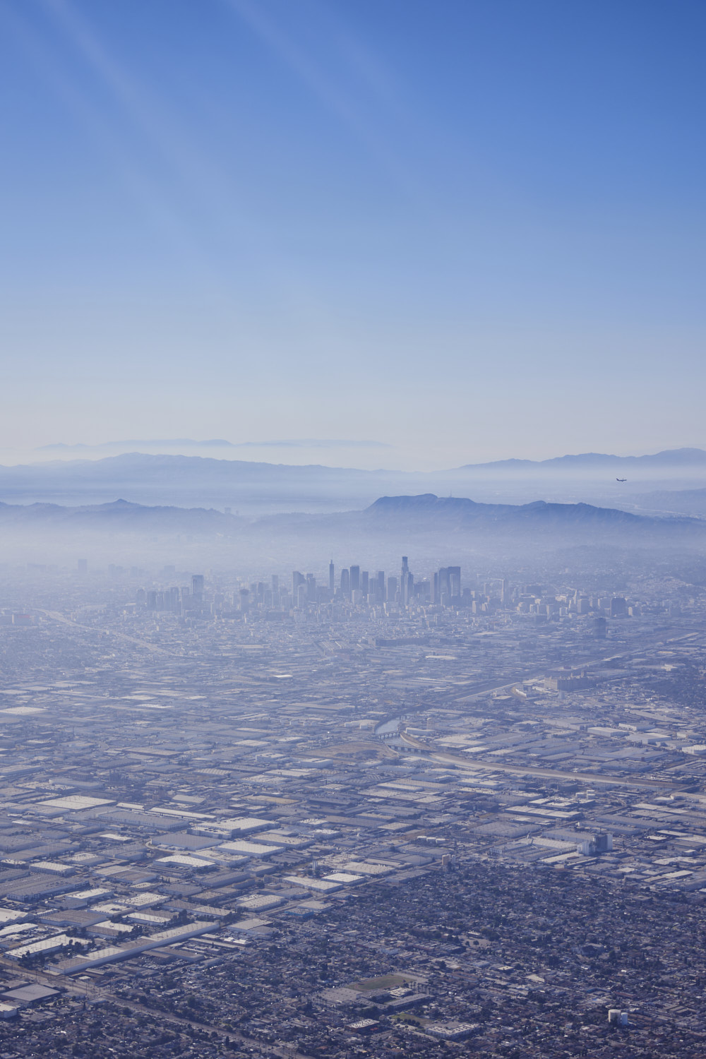 Hollywood Hills, LA Skyline, Vernon and Maywood
 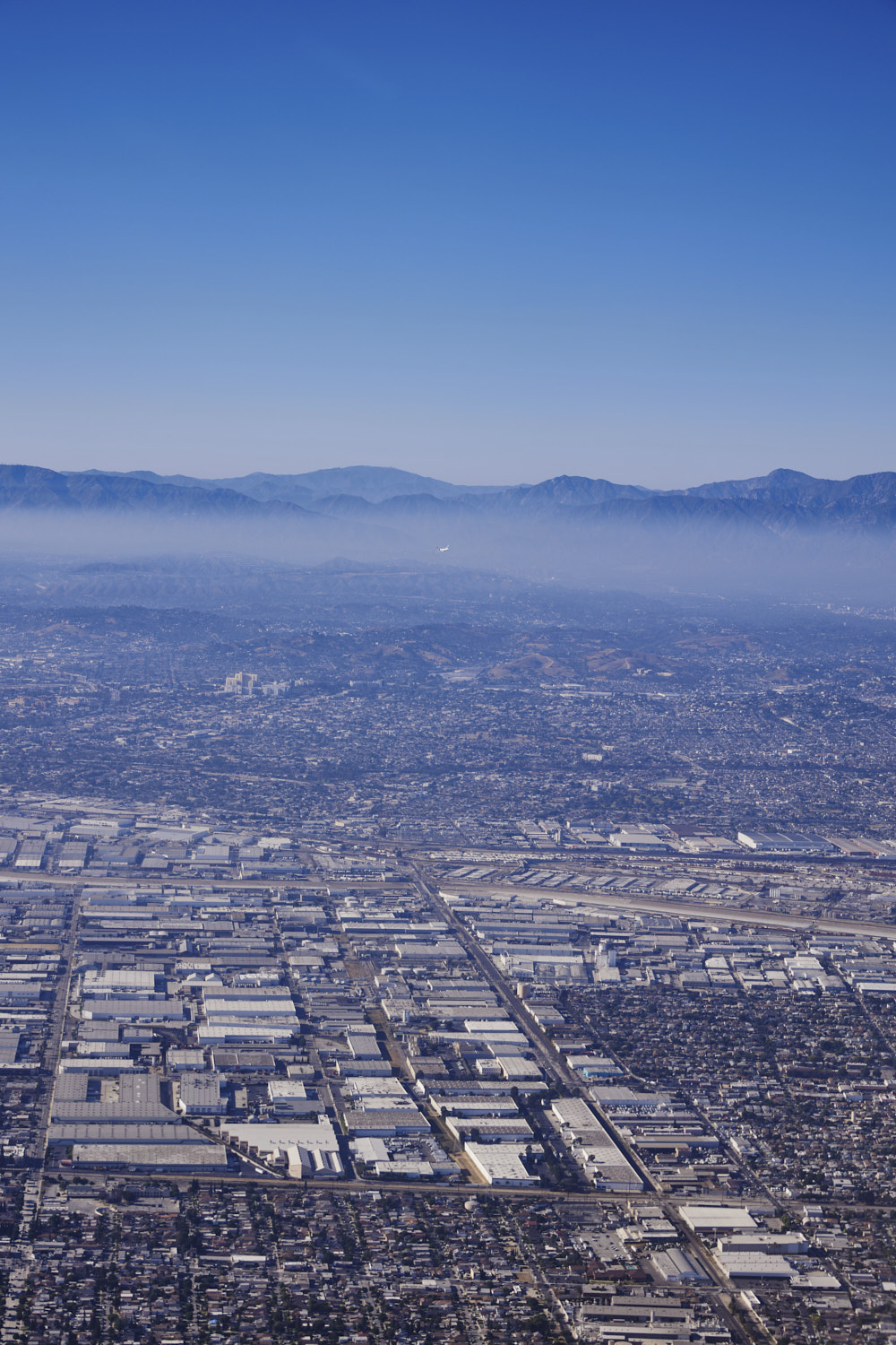 and if you look closely, a Qantas plane coming into land
 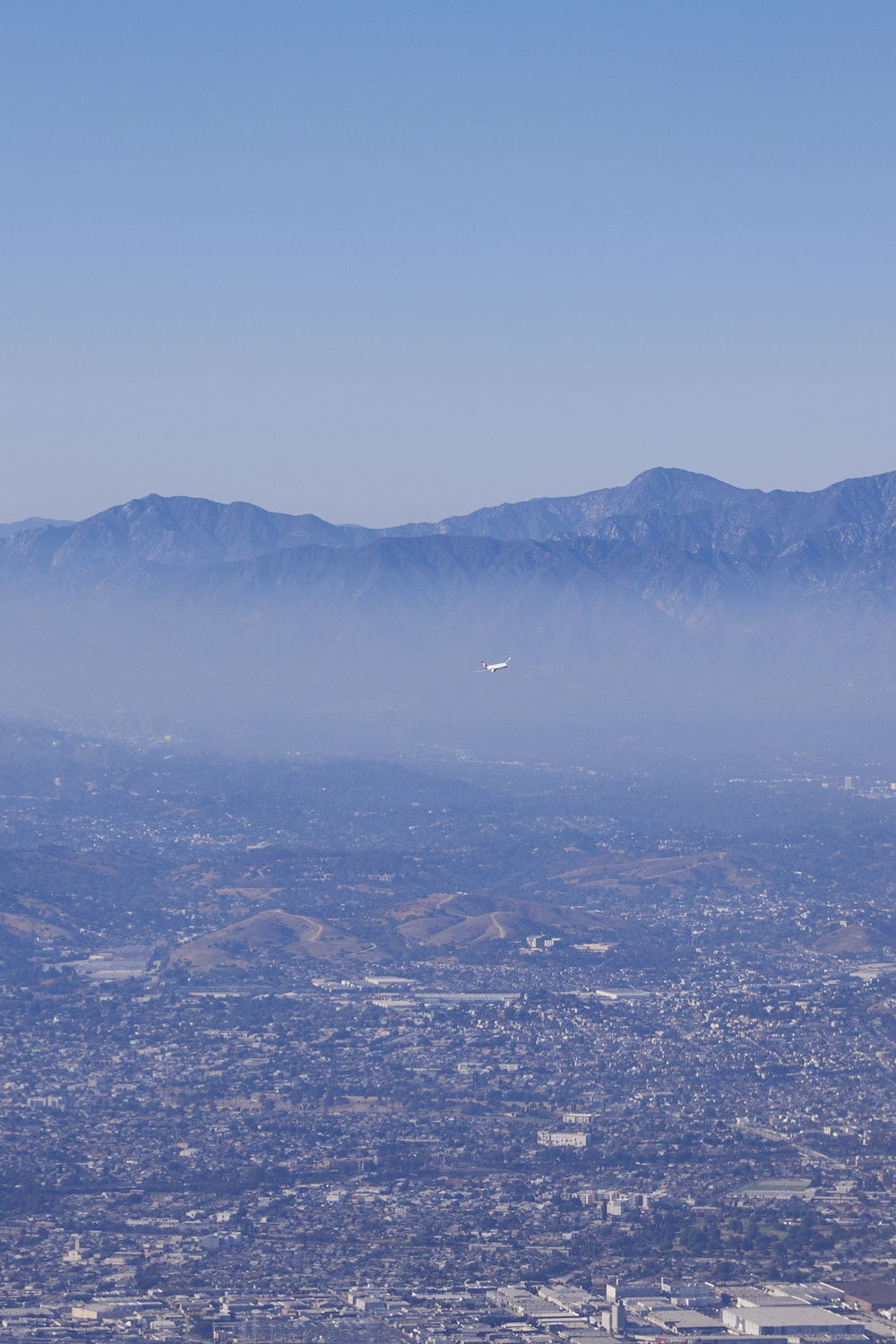 zoom in
 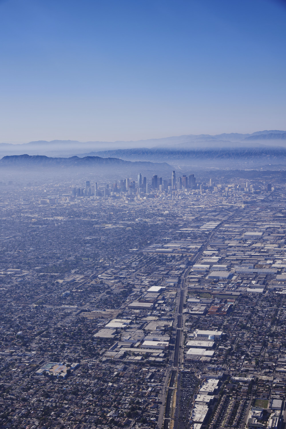 Alameda Street
 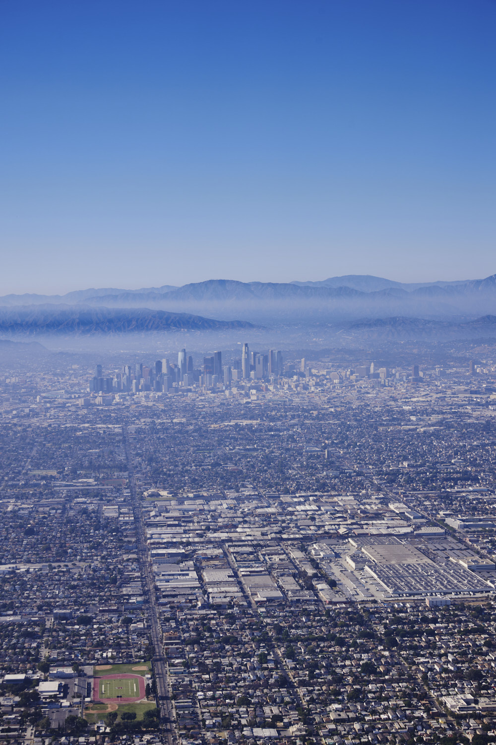 Avalon Boulevard and Fremont High Football field
 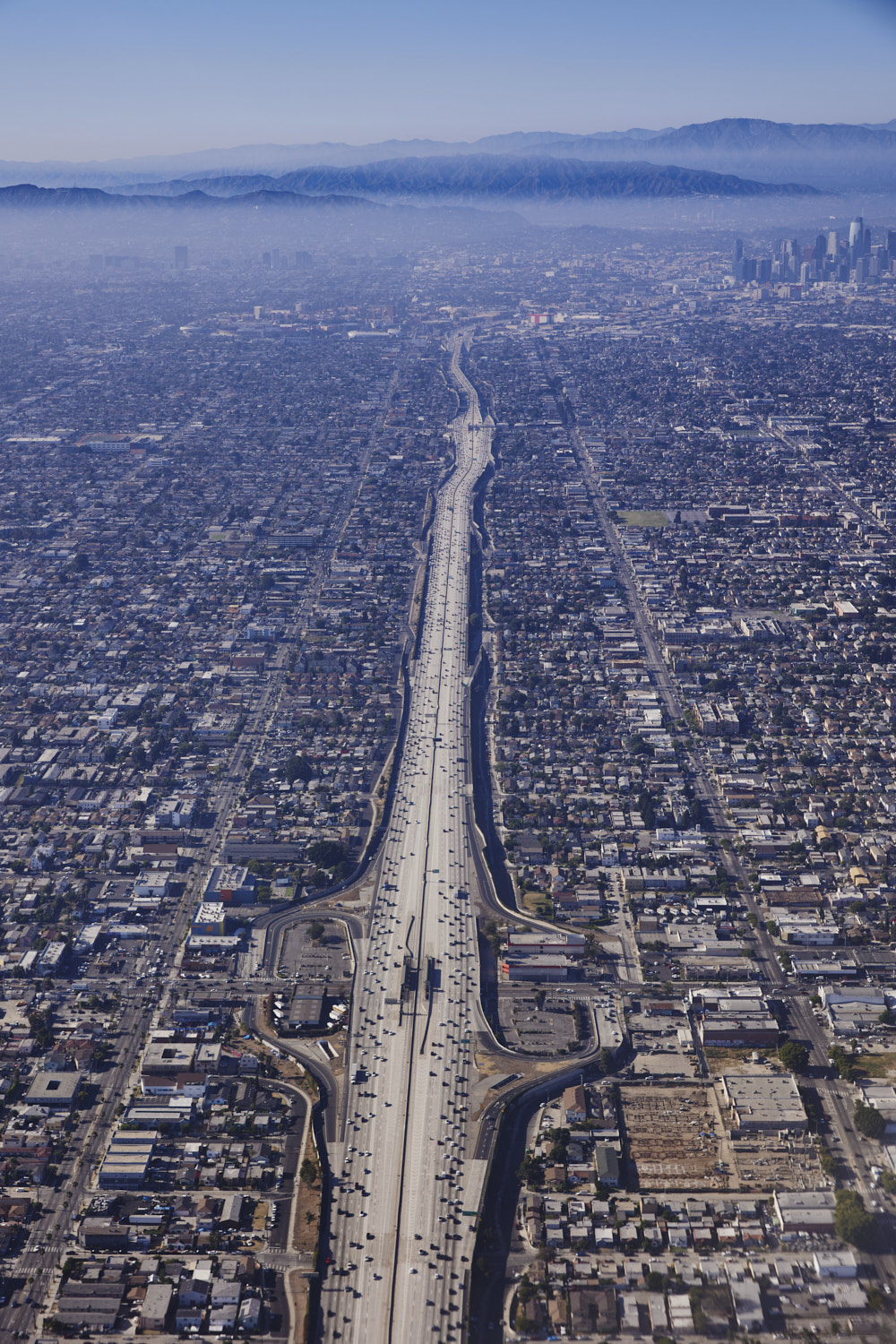 The 110
 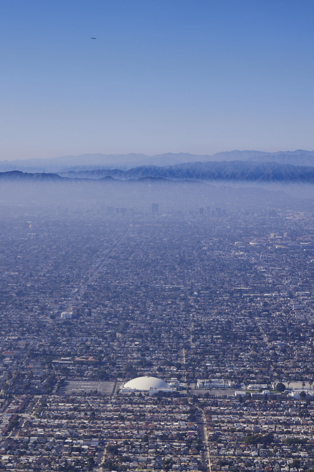 Crenshaw Christian Center
 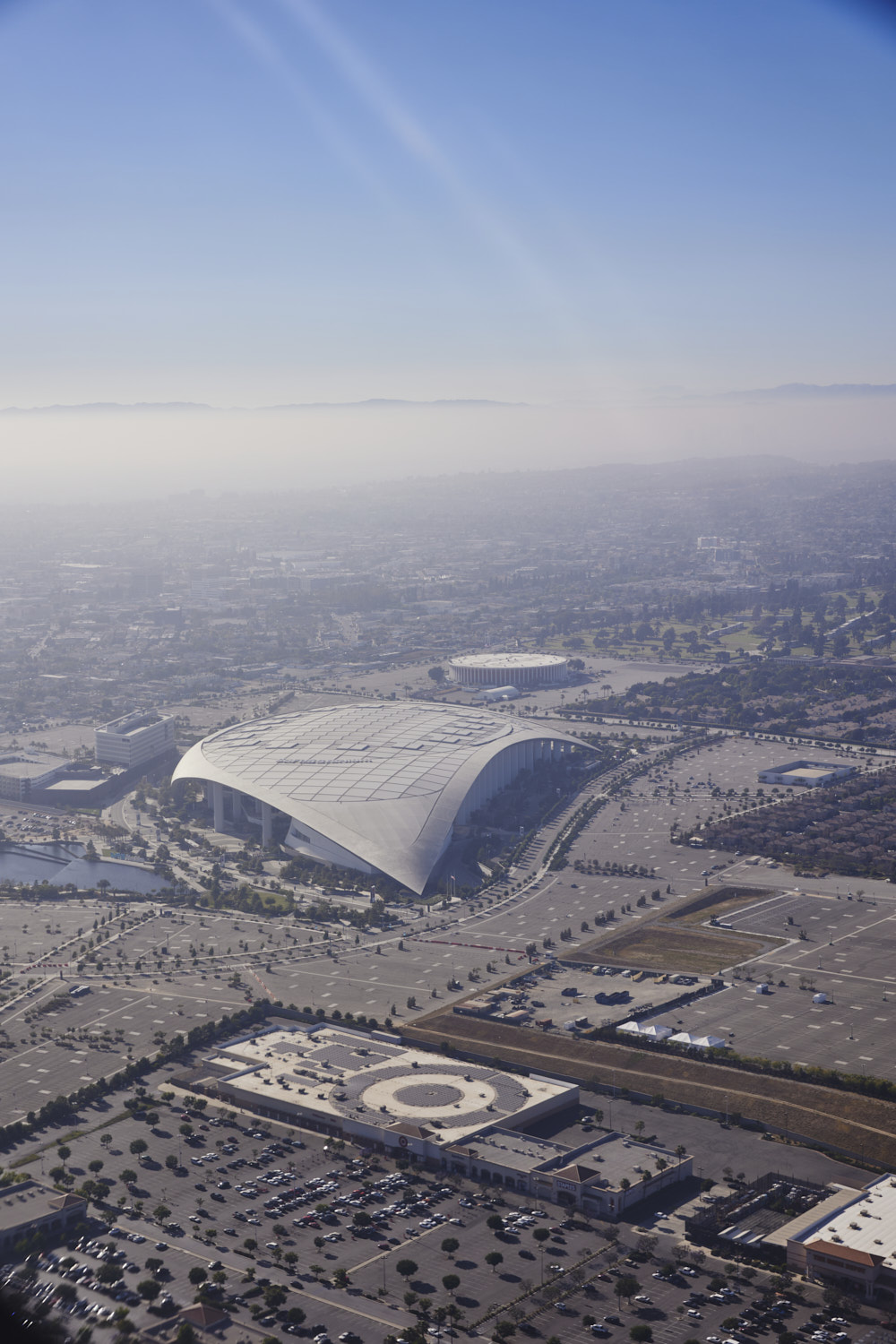 Big Sport Stadium at Inglewood
 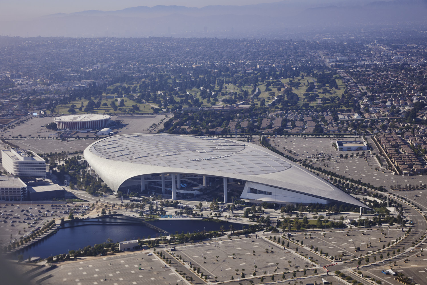 now which architect comes to mind, hint, Valencia Spain
 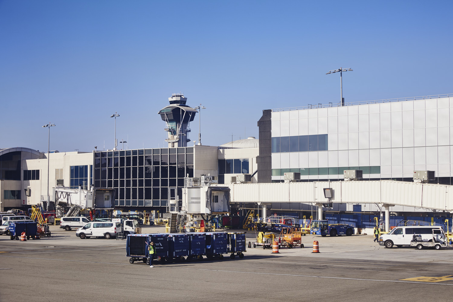 landed
Now that was a post and a half, if you hung around all the way, welcome to LA, what a flight that was, loved it
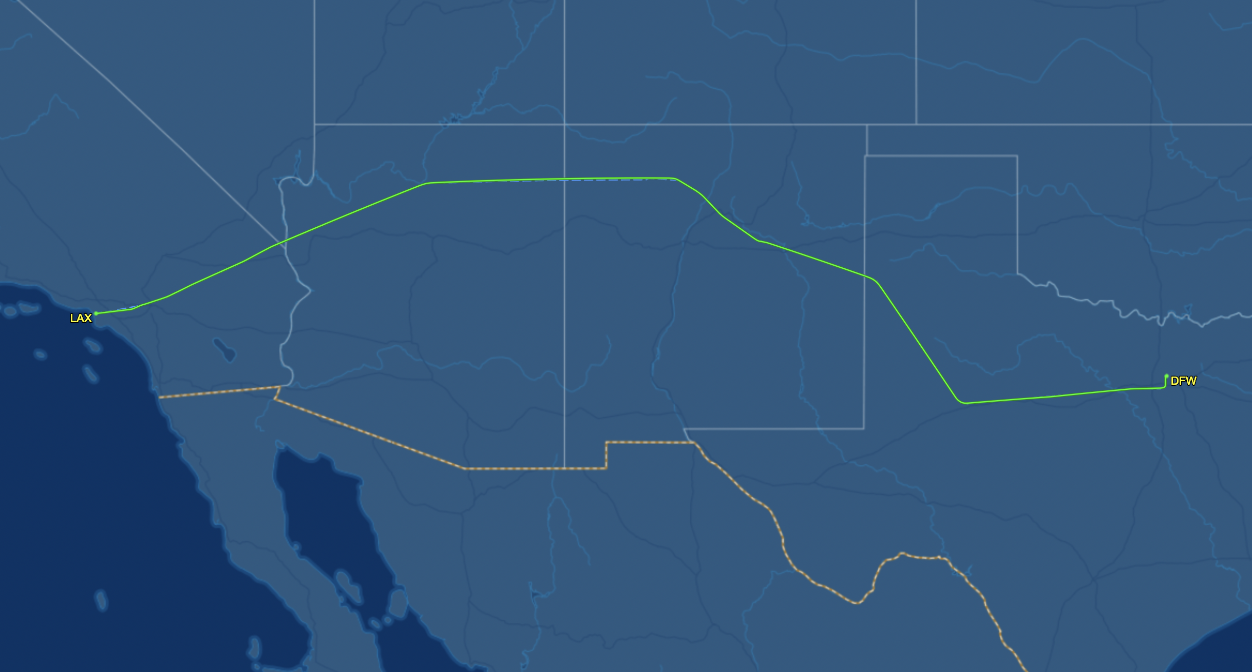 the flight track
 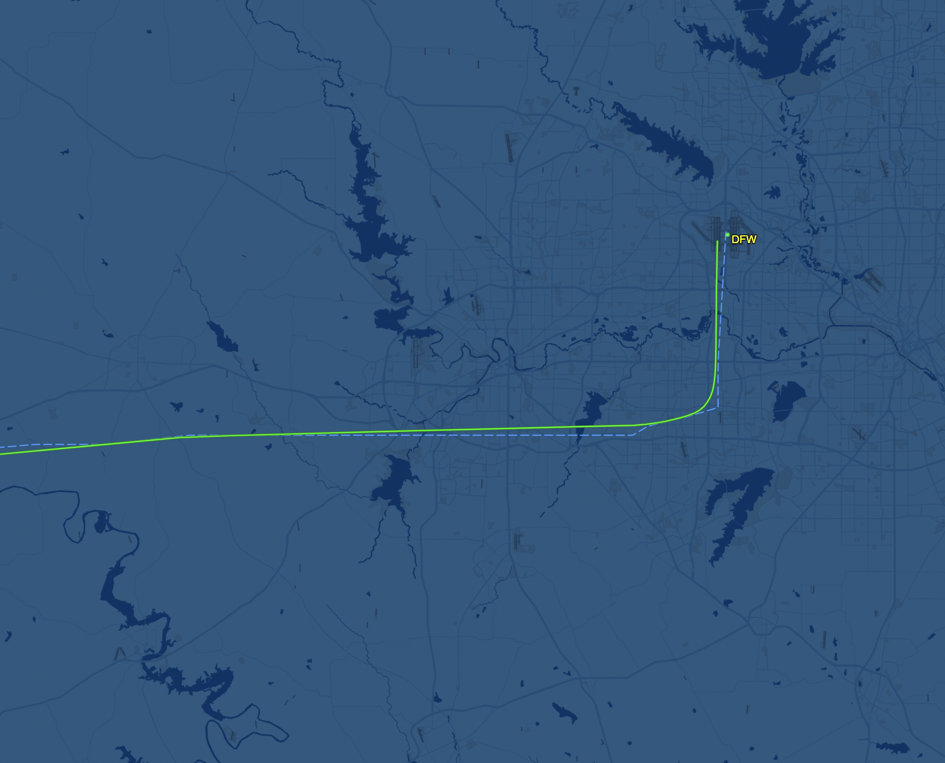 leaving Dallas
 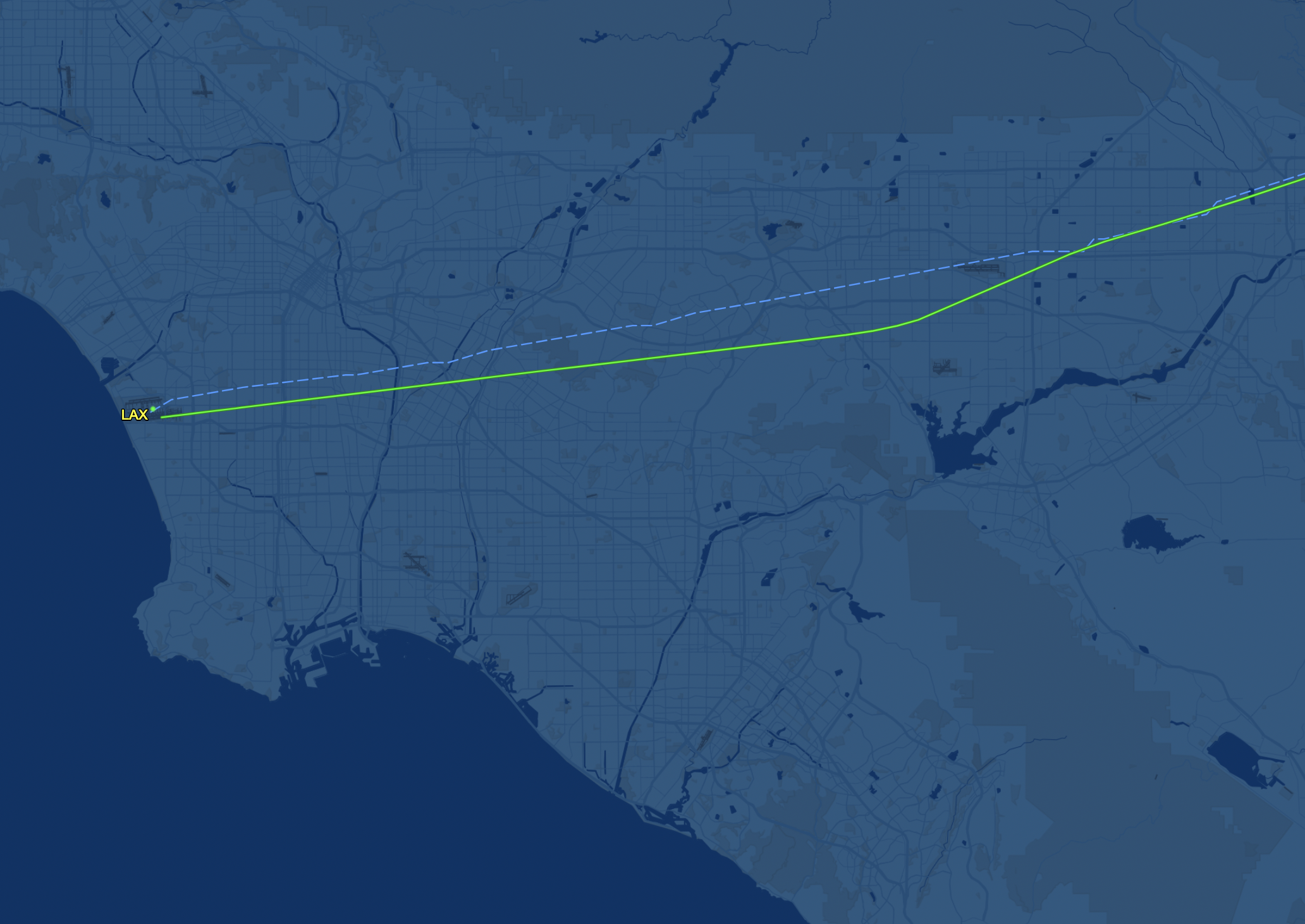 approach to LA
 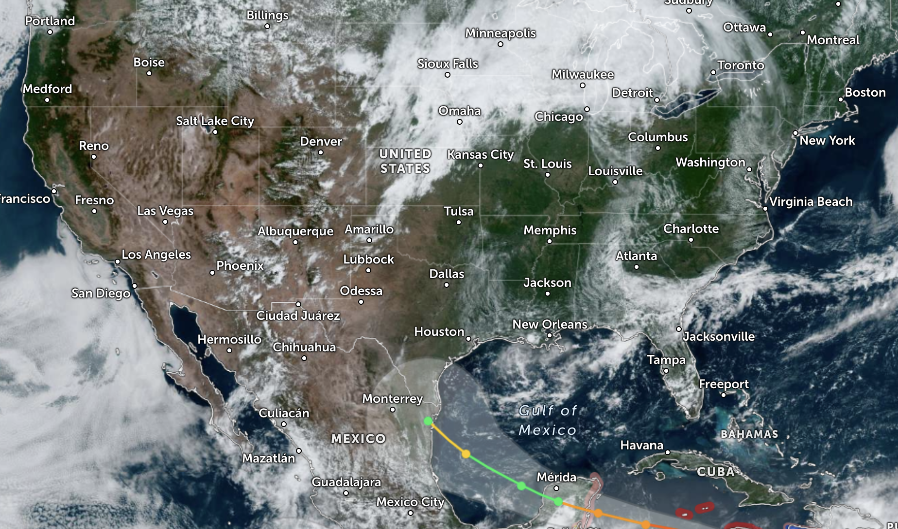 Satellite from the day
Dallas > Los Angeles AA1669

Quick stop over in Dallas ( my first time ) and then off to Los Angeles, and was looking forward to this leg as it would fly over some scenic countryside
Sonny Vandevelde