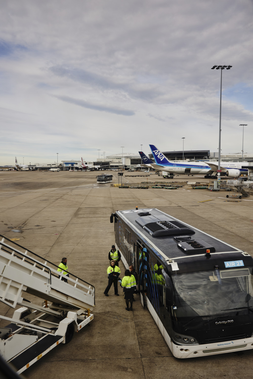
 got to love a bus board, not, unless it’s Emirates in Dubai, so organised there
 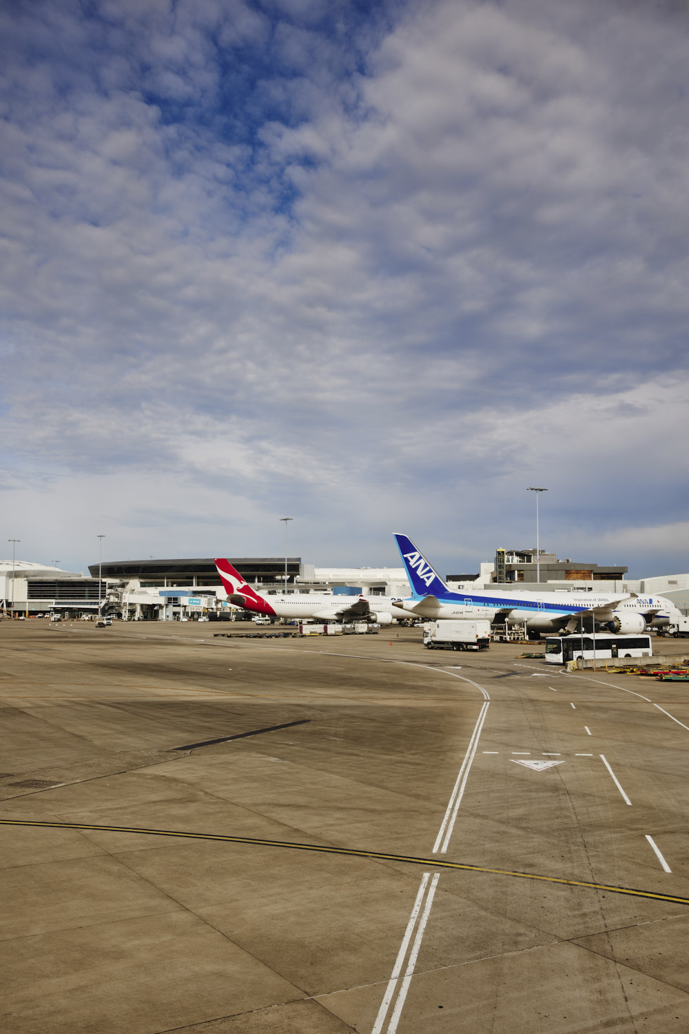 pulling back
 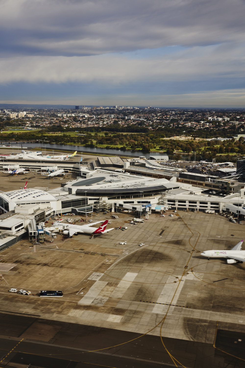 take off, Sydney international airport QF11 waiting I assume
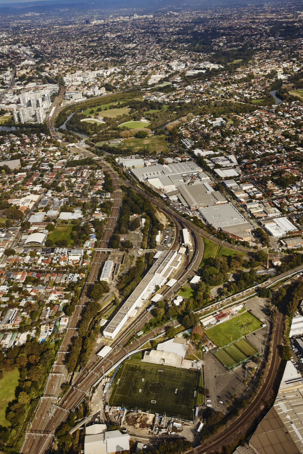 Sydenham & Marrickville
 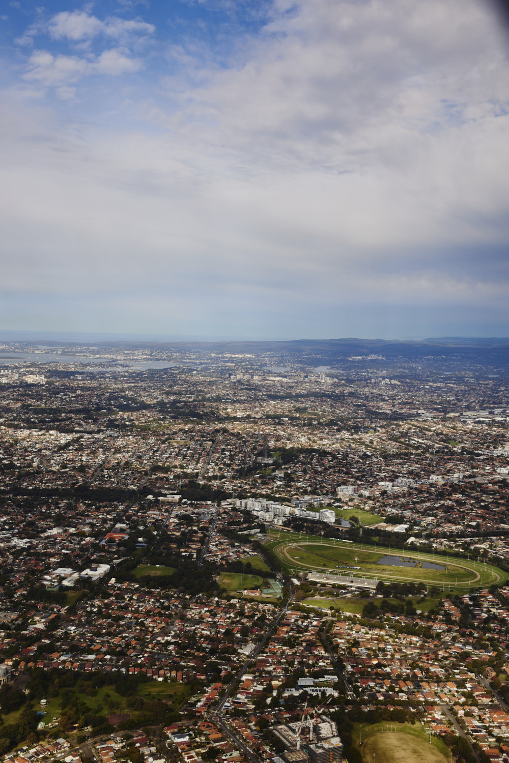 Canterbury
 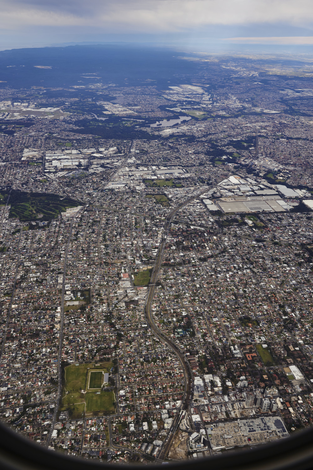 Guildford
 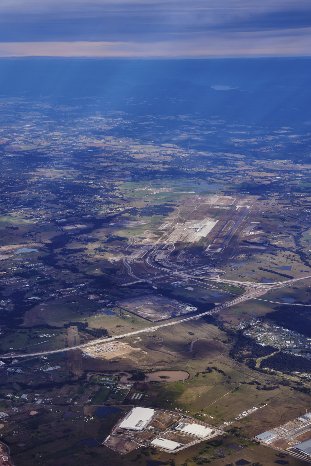 new Sydney airport
 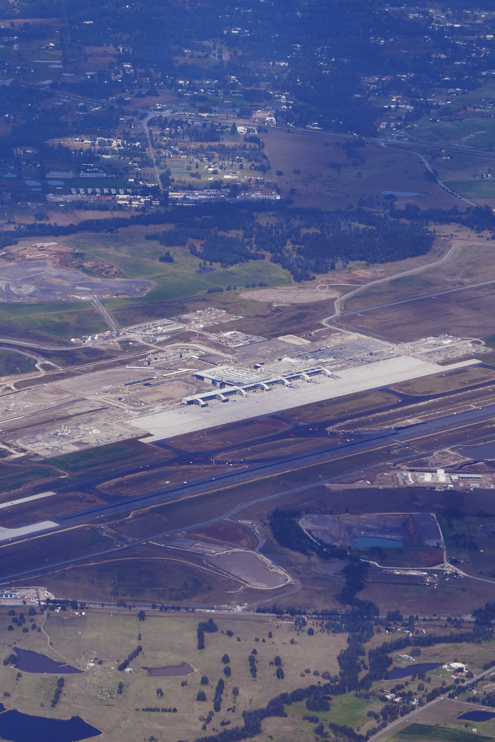 slowly coming along
 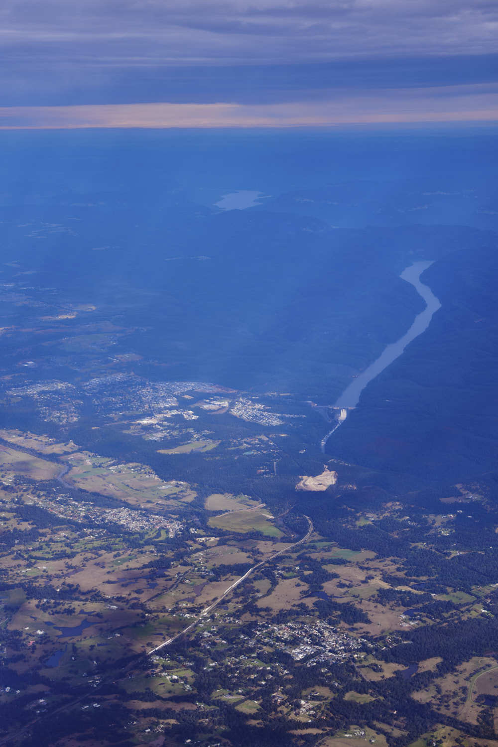 Warragamba Dam
 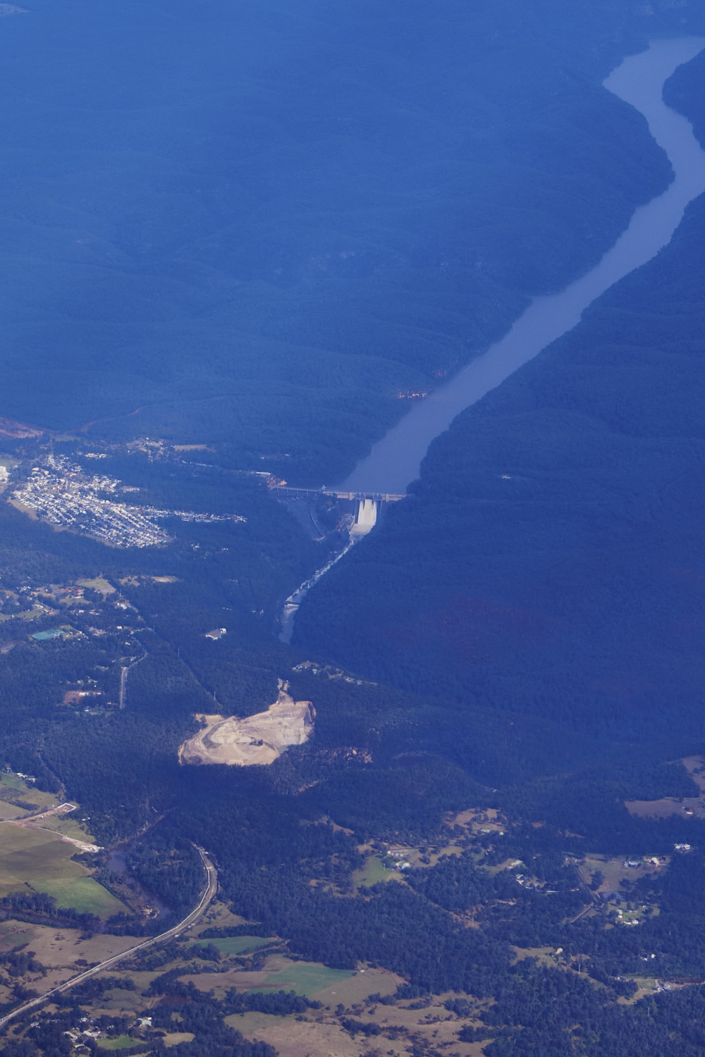 and she’s flowing
 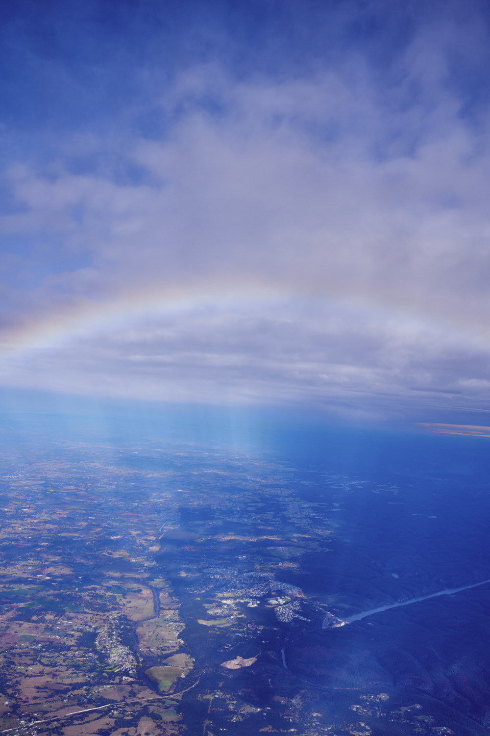 Rainbow over the dam
  crossing blue mountain
 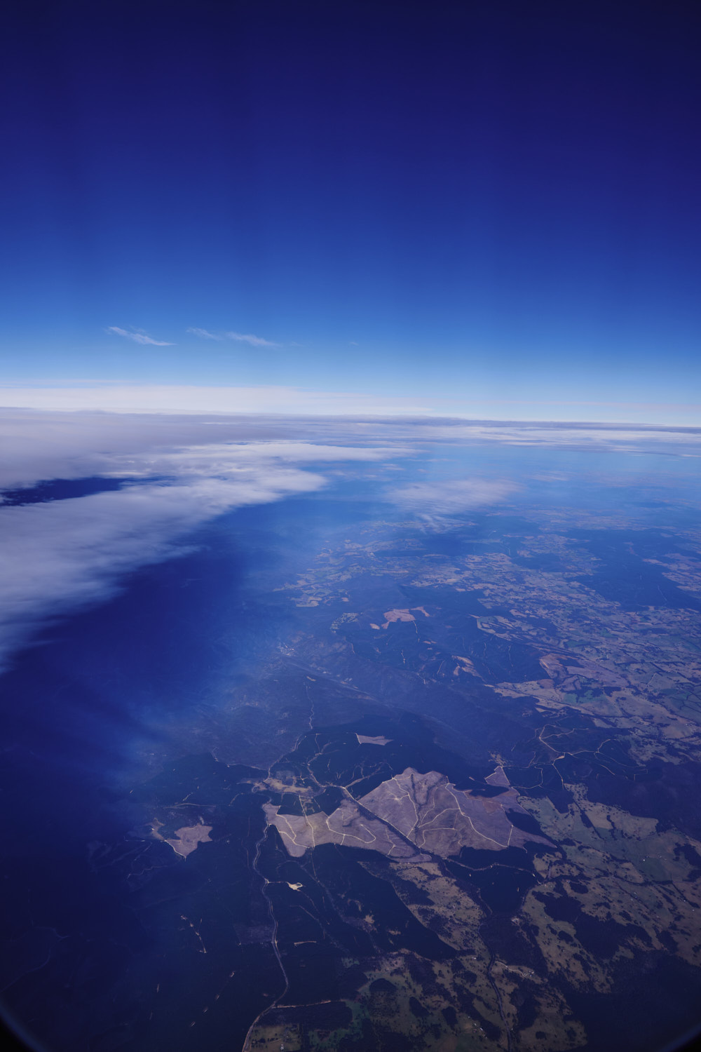 Jenolan State forest and all the pine tree plantations
 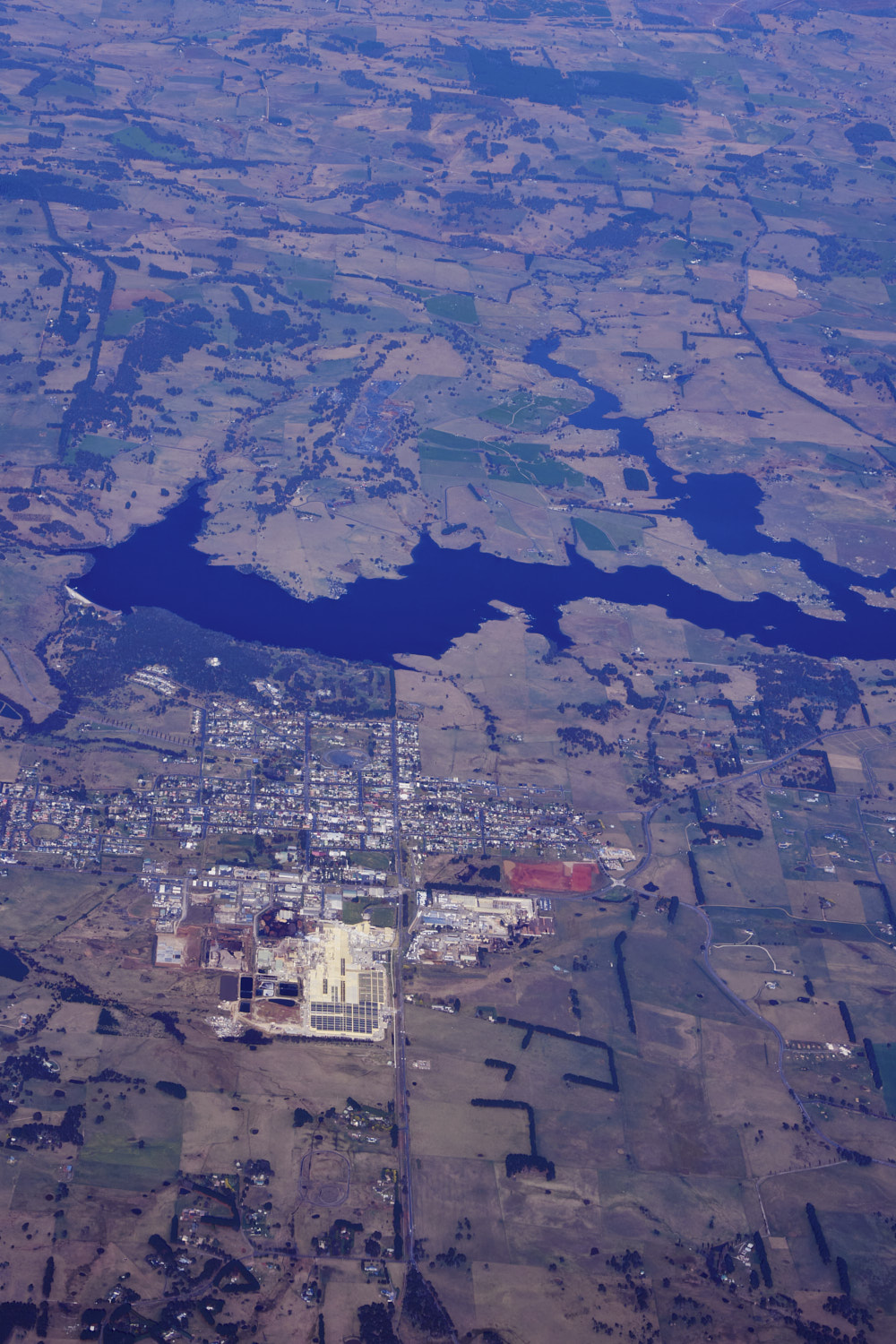 Oberon
 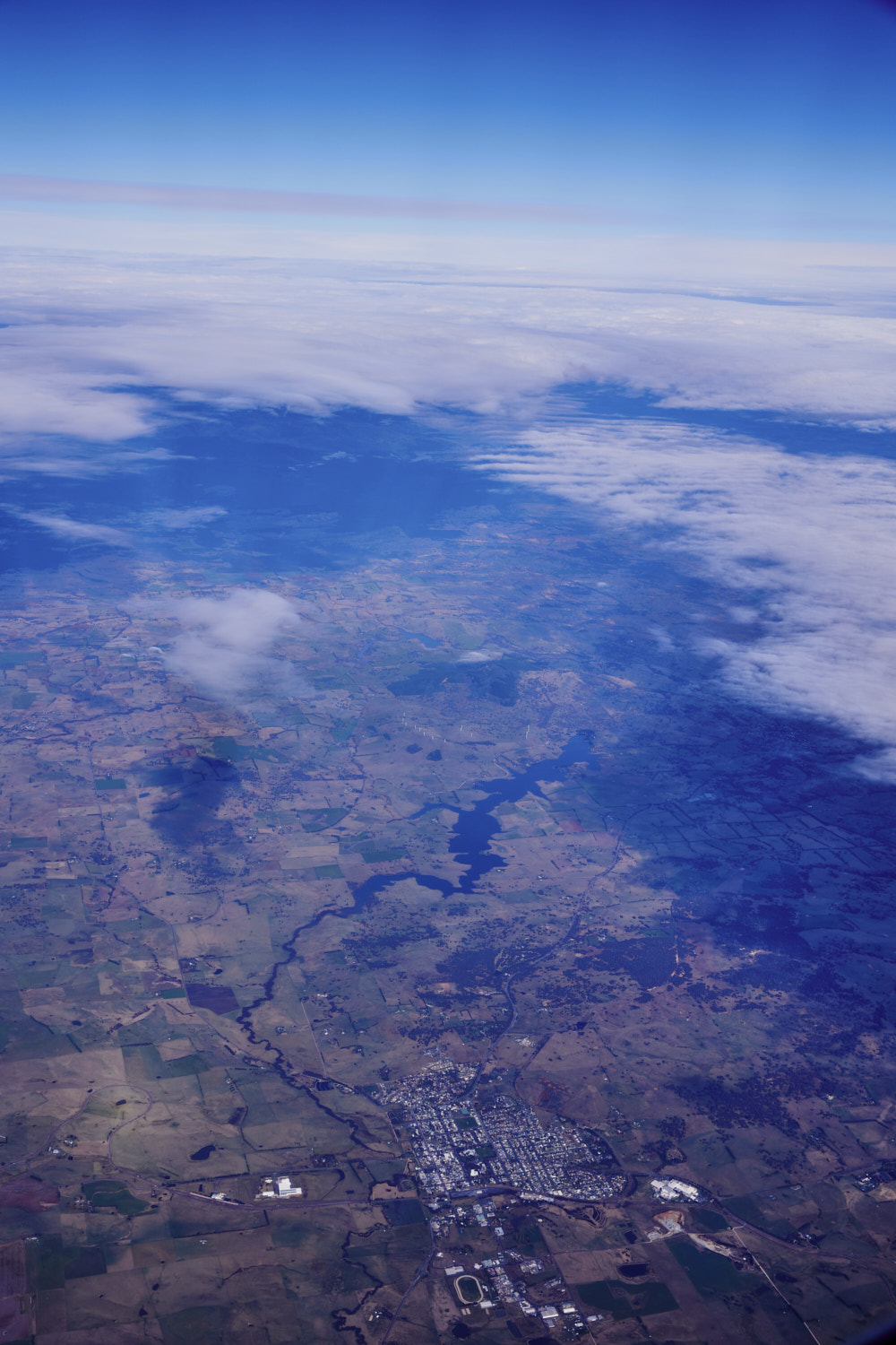 Blayney and Belubula River
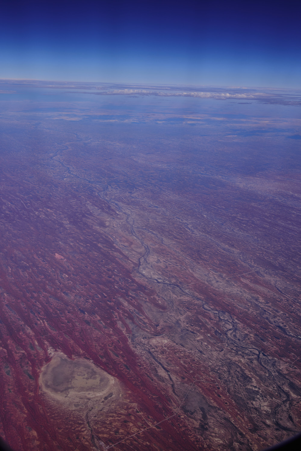
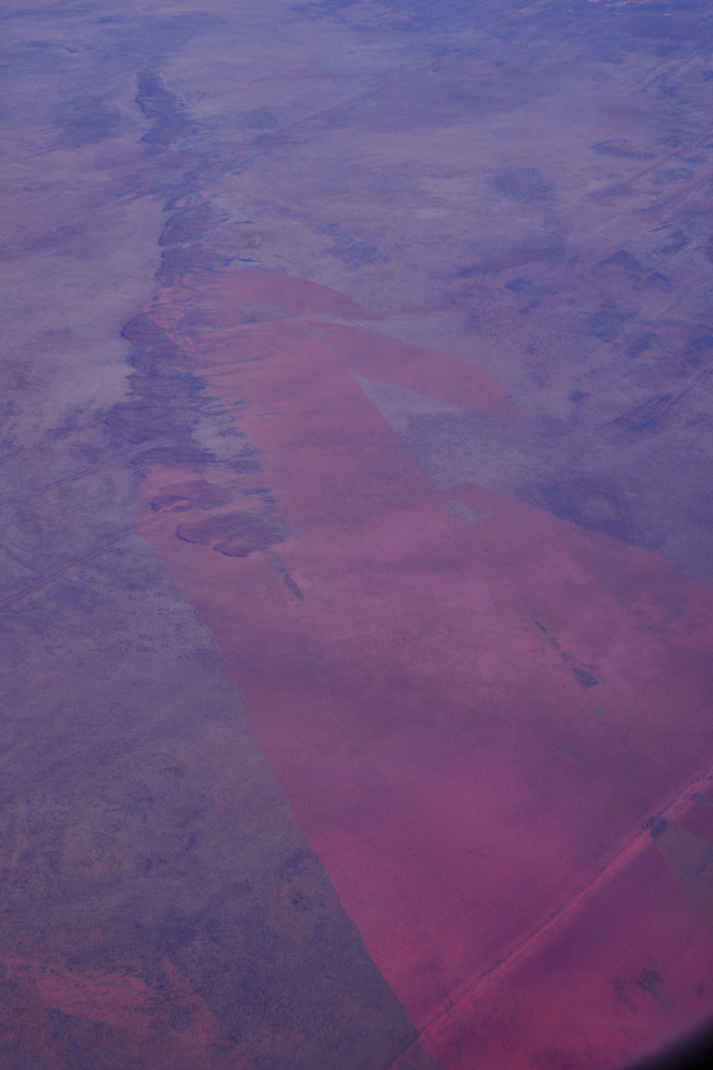
 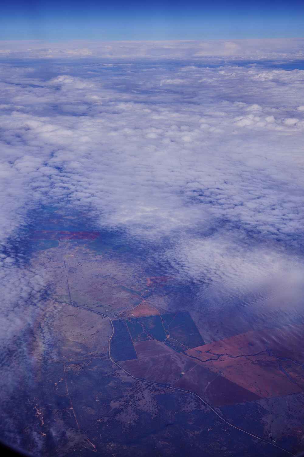 Outback nsw
 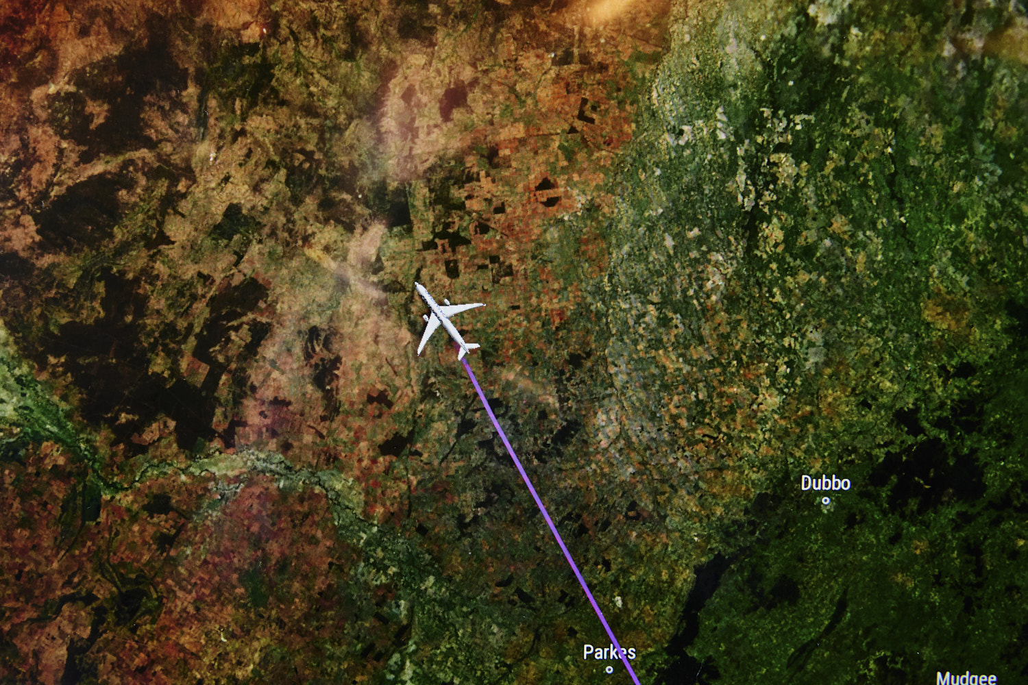 keeping track of where I am
 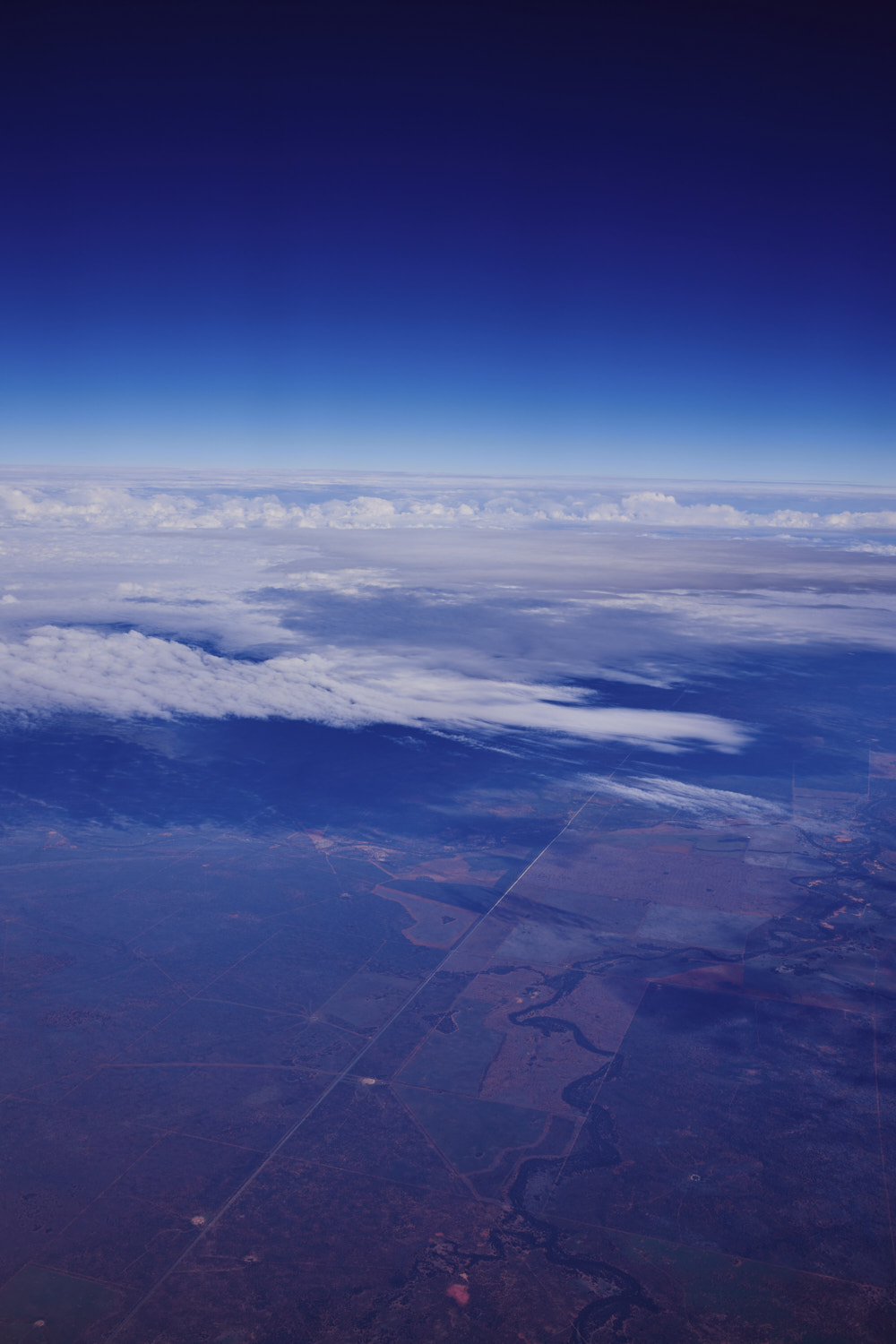 Around Hermidale
 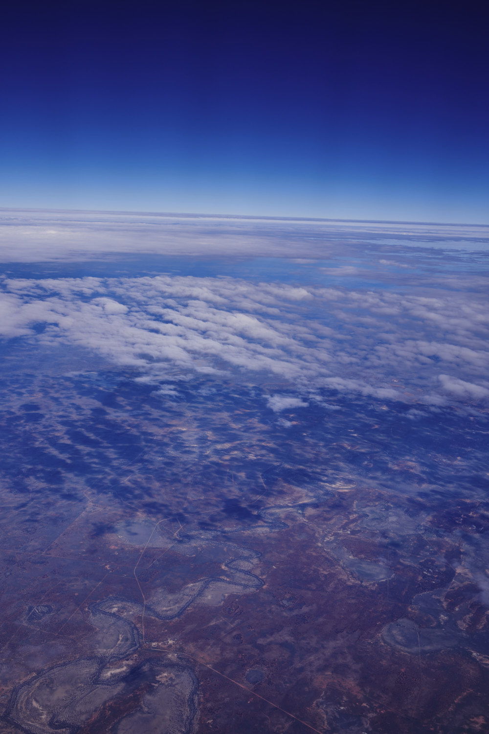 just past Cobar
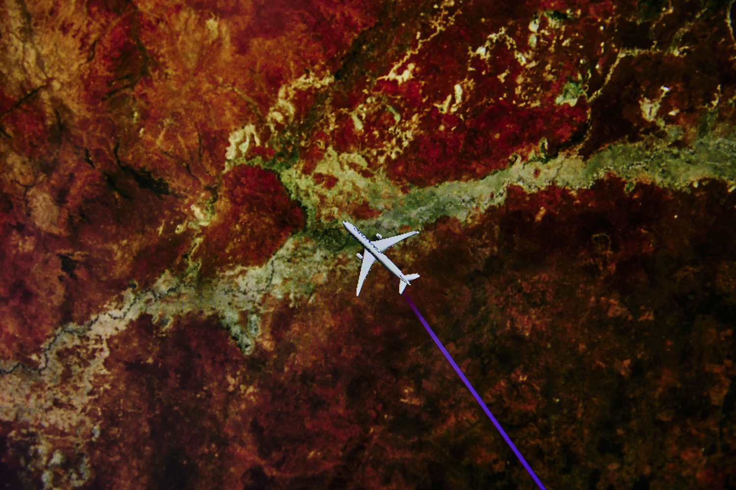
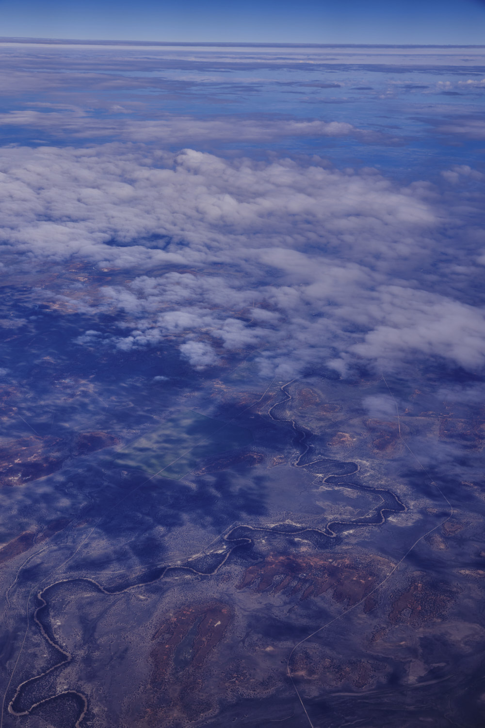 flying over that Darling river system between Bourke and Wilcannia, and eventually flowing into Menindee lake
 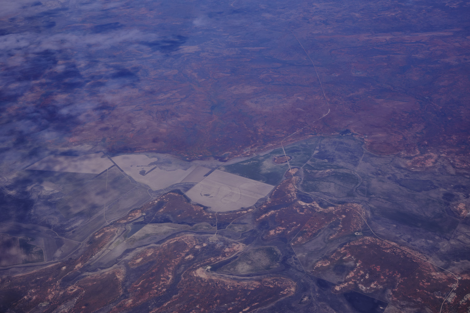 Near Tilpa
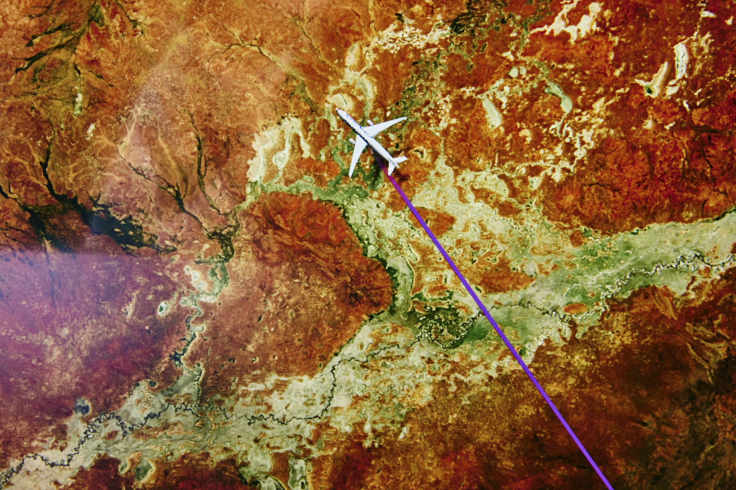
 Gilpoko Lake, Poloko Lake and Peery Lake
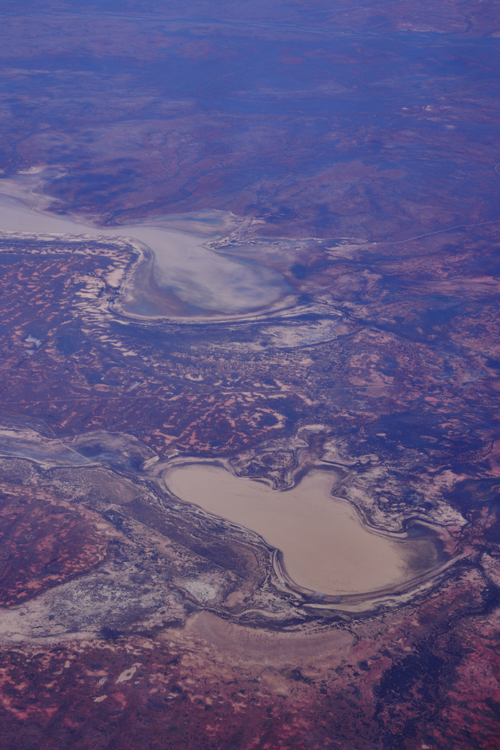 Paroo- Darling National Park
 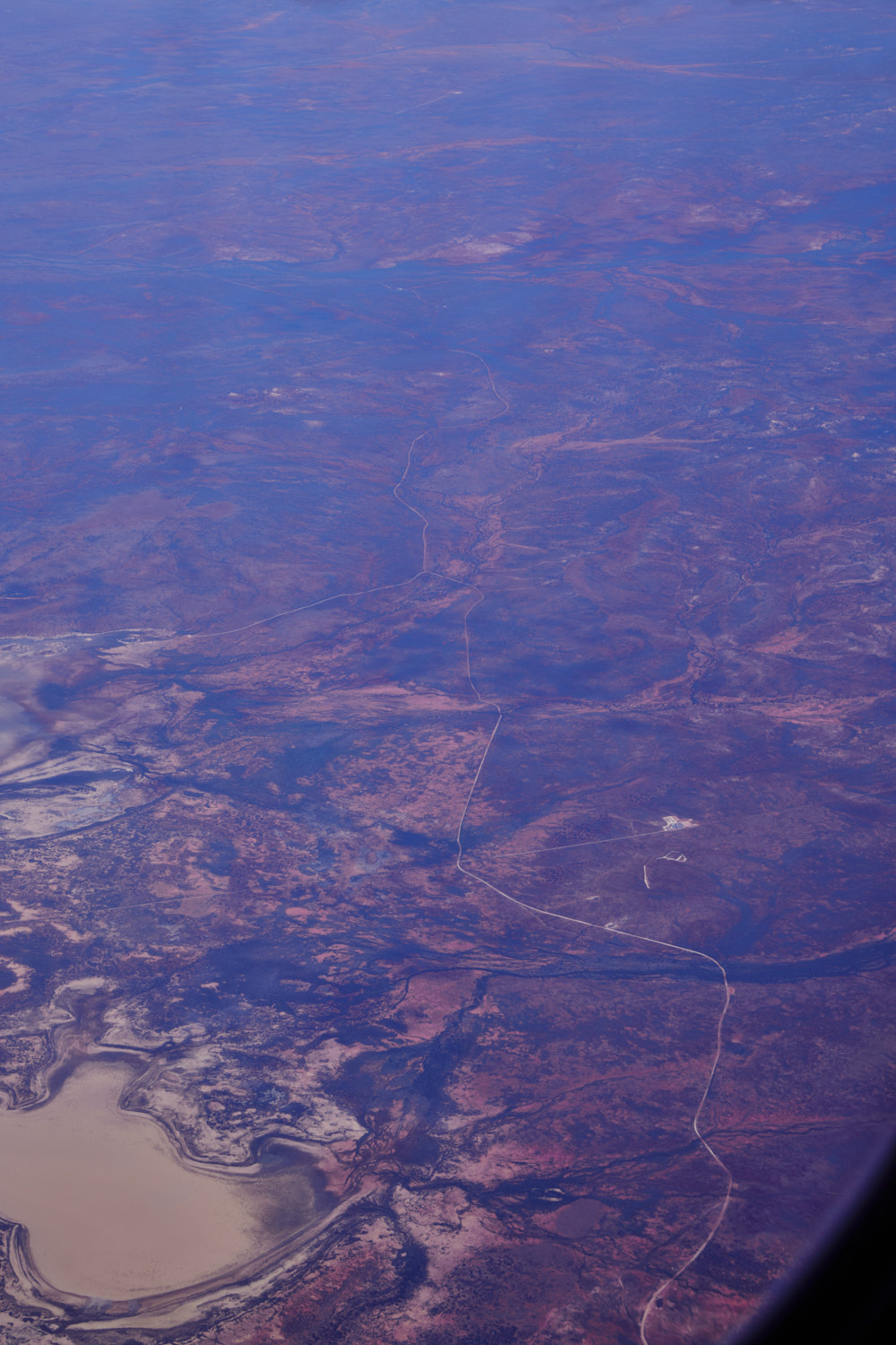 looks like a farm to the right in the middle
 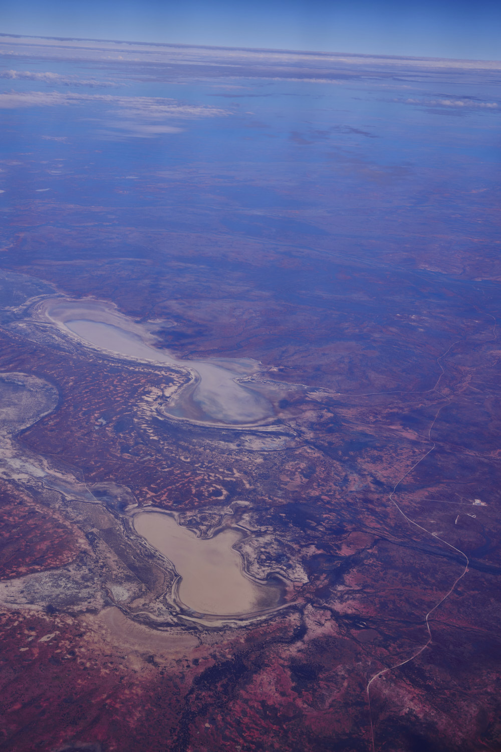 but best I can find is it is some sort of Pipeline access as it is on the pipeline access track and Wilcannia-Wanaaring road
 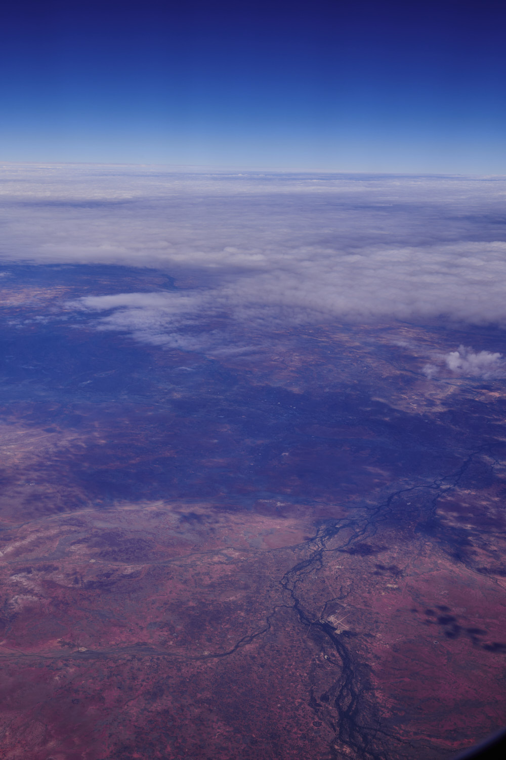 Turleys Hill
 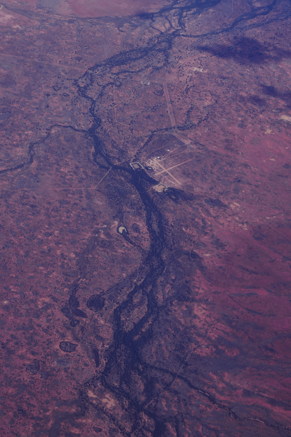 outback airstrip called Dugout
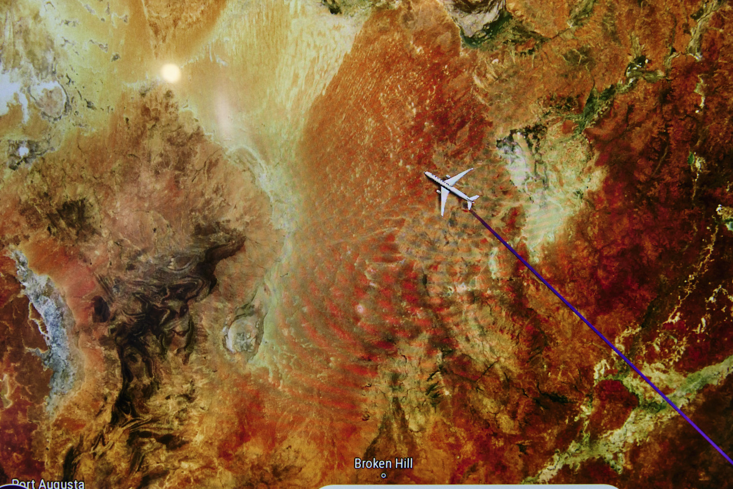
 Near Cameron Corner, which is where NSW, South Australia and Queensland borders meet
 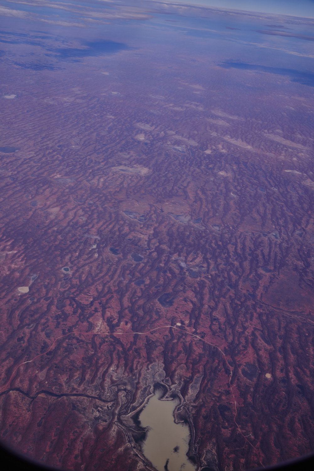 Fort Grey Basin
 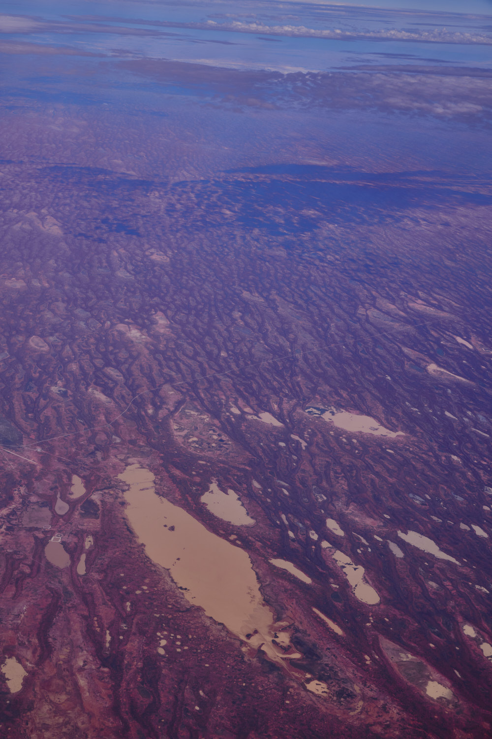 Near Bollards Lagoon South Australia
 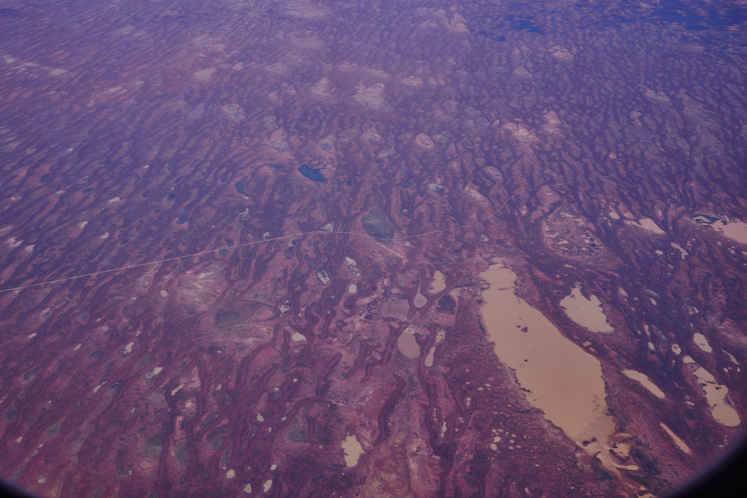 Riecks Road
 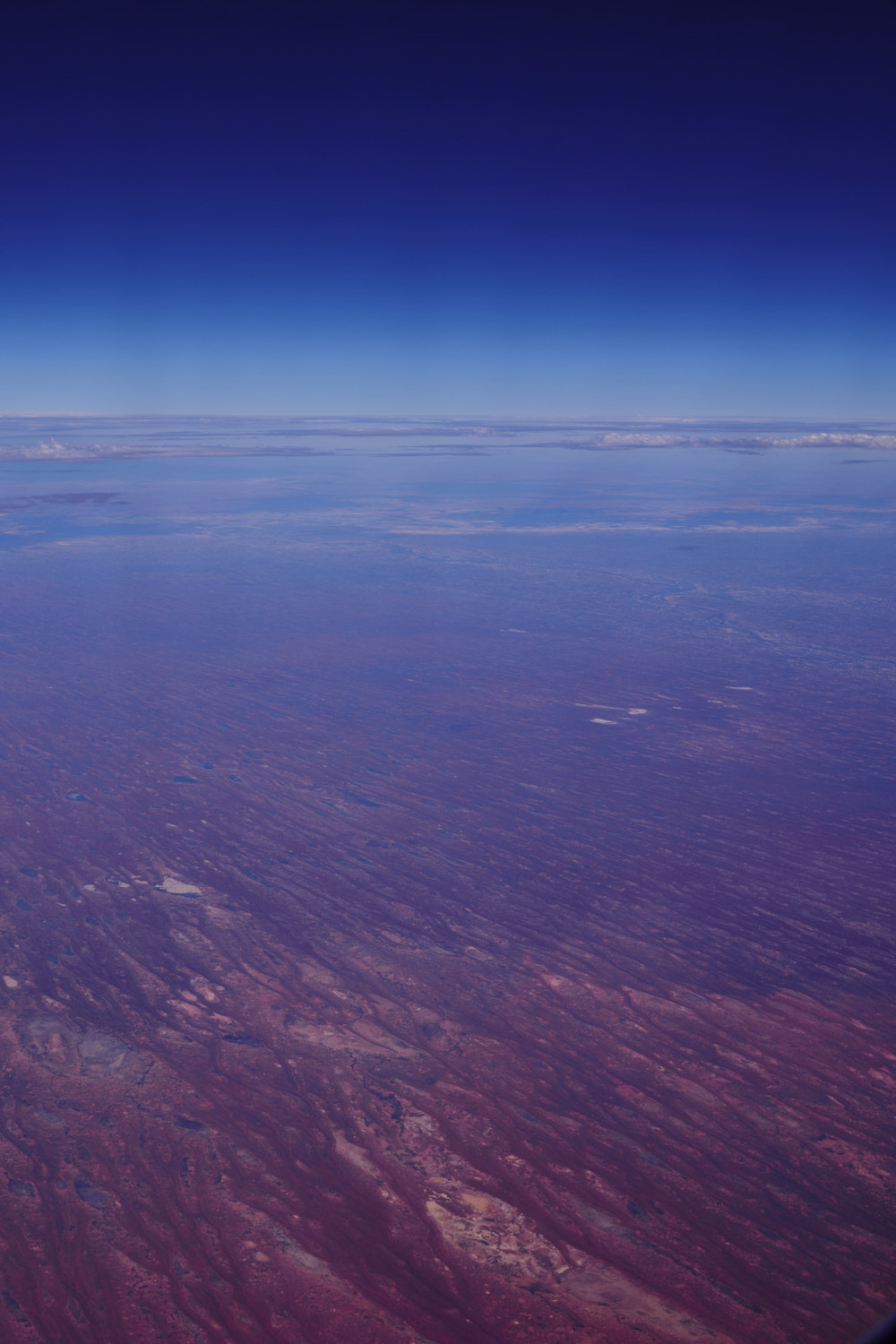 near Merty Merty
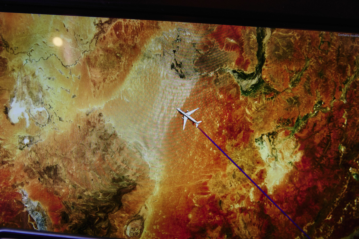
 entering the Strzelecki Desert
 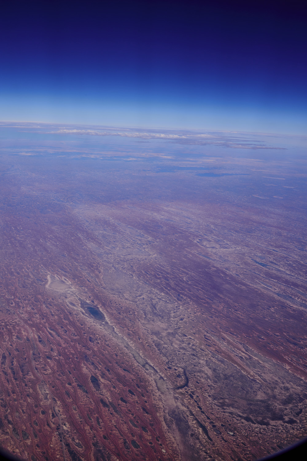 near Merty Merty
 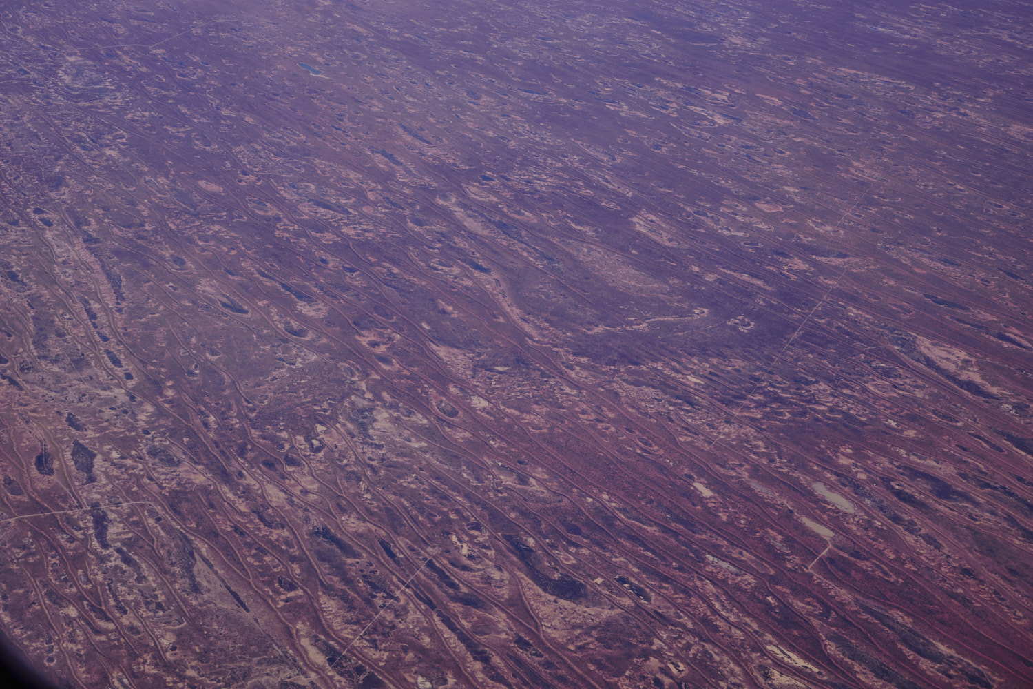 Strzelecki Desert
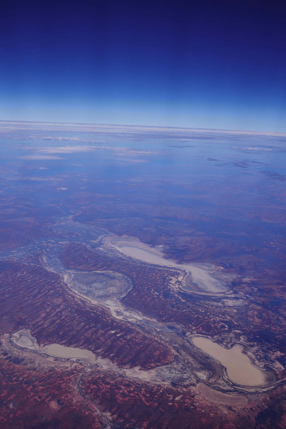
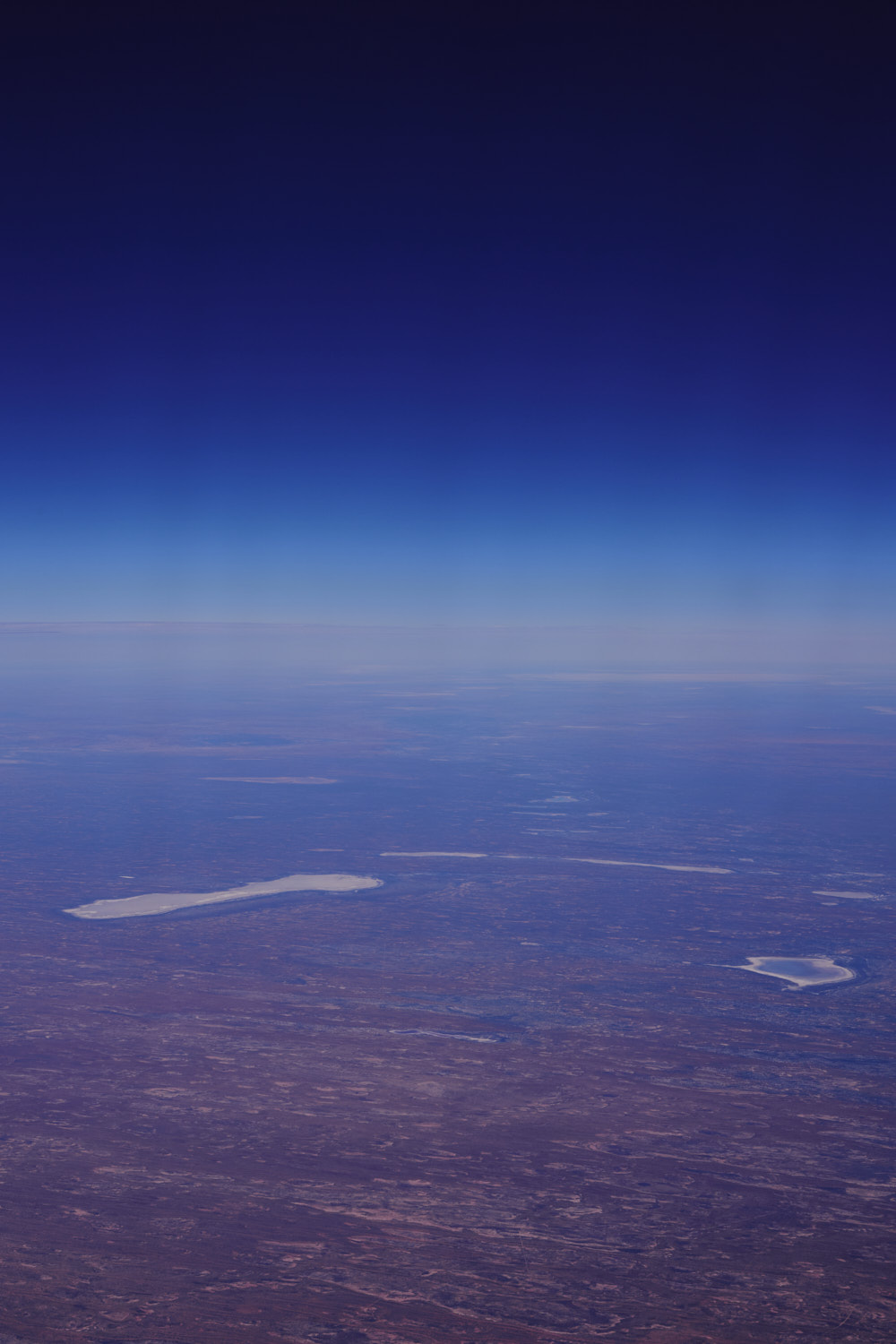 Lake Hope, Cooper Creek & Lake Warrakalanna
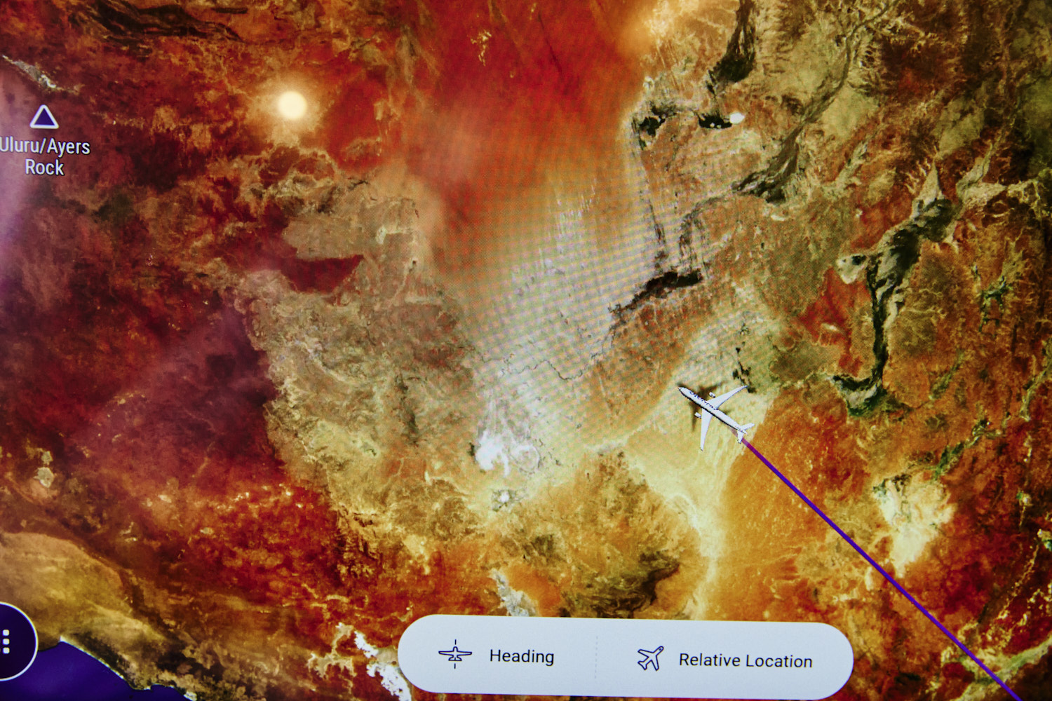 fingers crossed, head to Ayers Rock, but being doubtful, looks like we track too far north for me to see it
 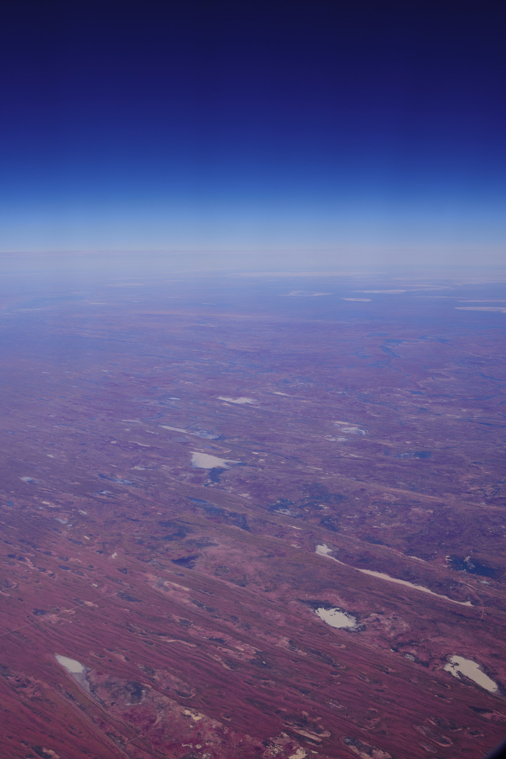 Mungeranie
 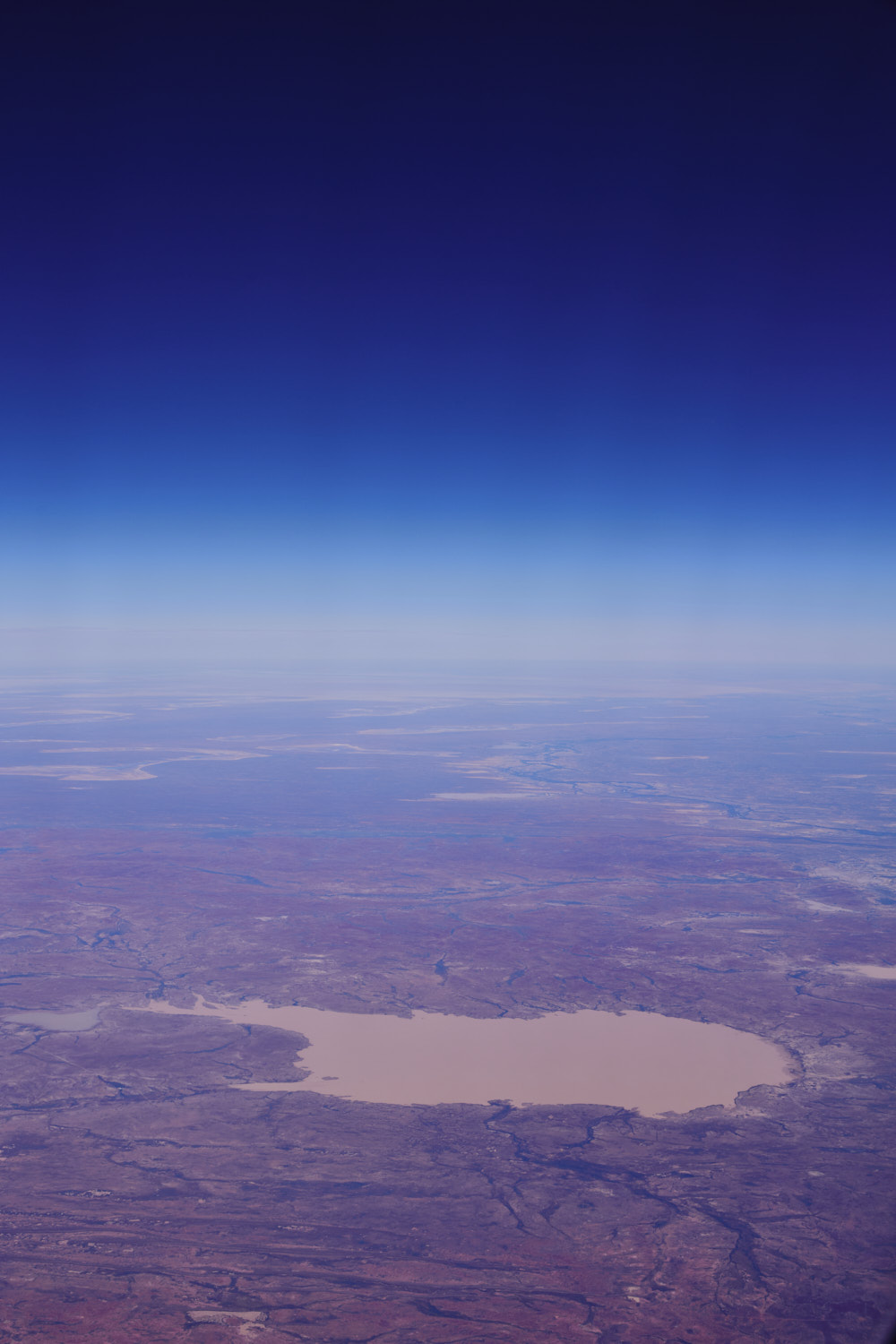 Lake Howitt
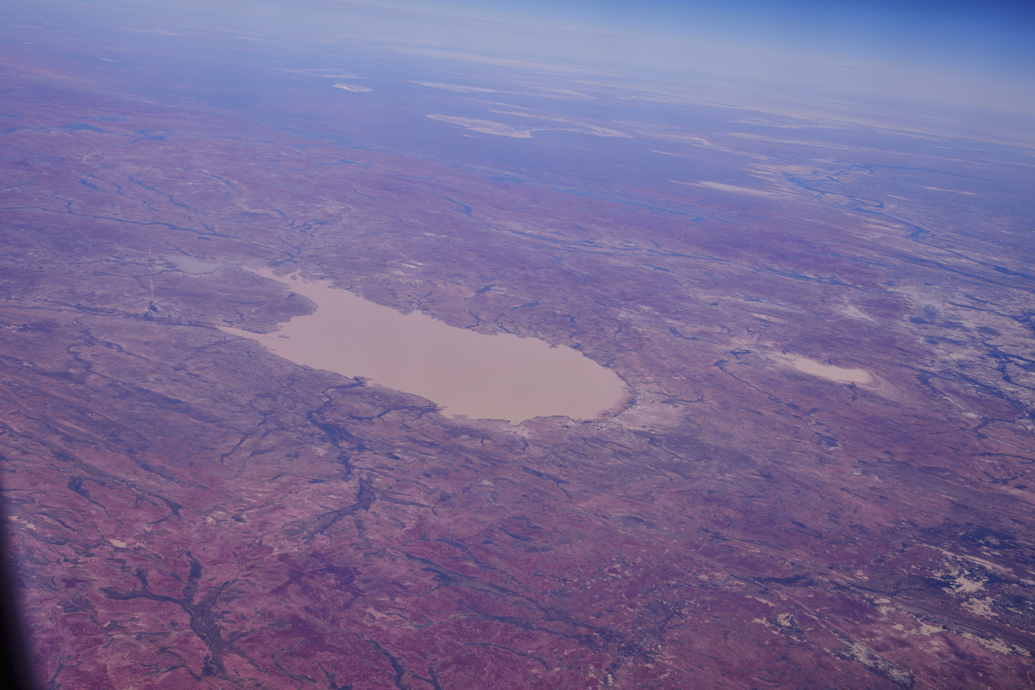 looks like it filled up recently
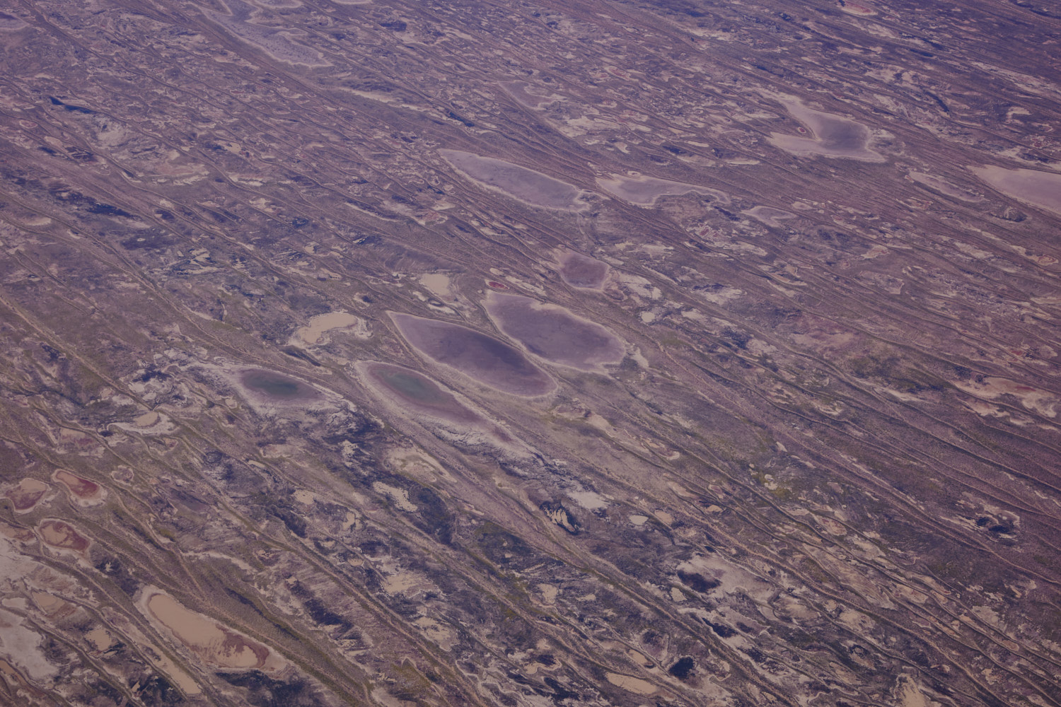
 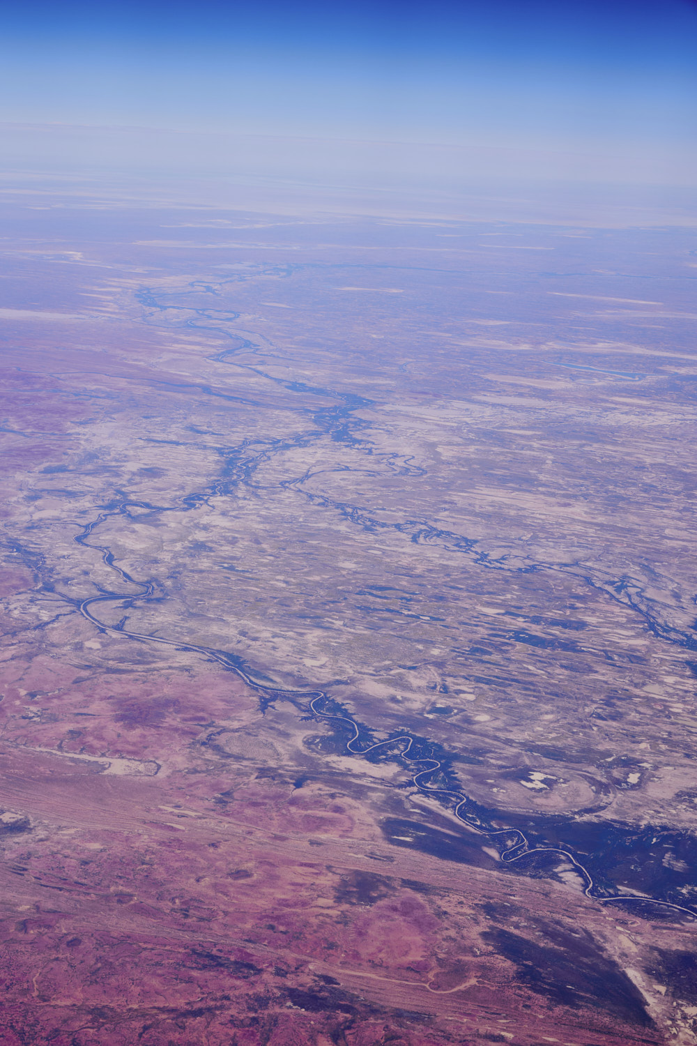 Diamantina River near Cowarie
 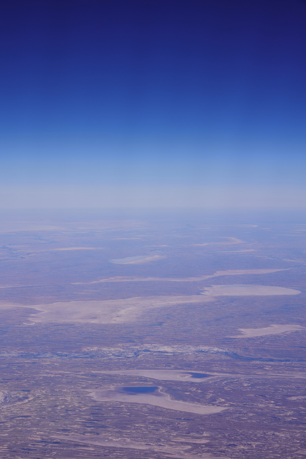 in the foreground Lake Thoopoocoonallie & Lake Pirriepatchillie no name in the middle and Lake Pantoowarinna above it
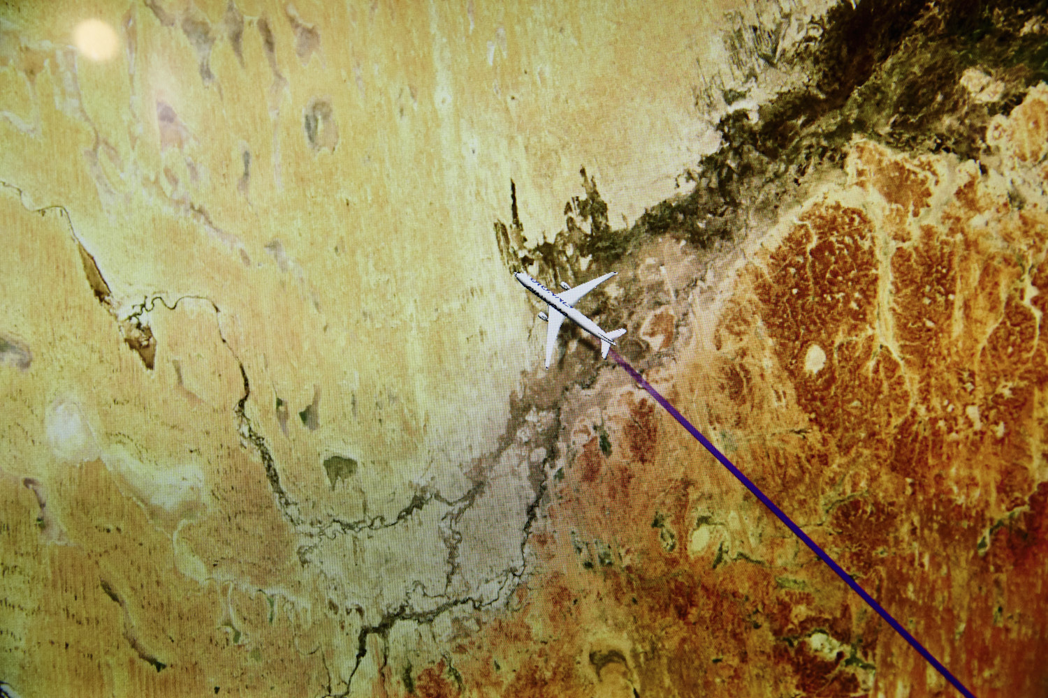
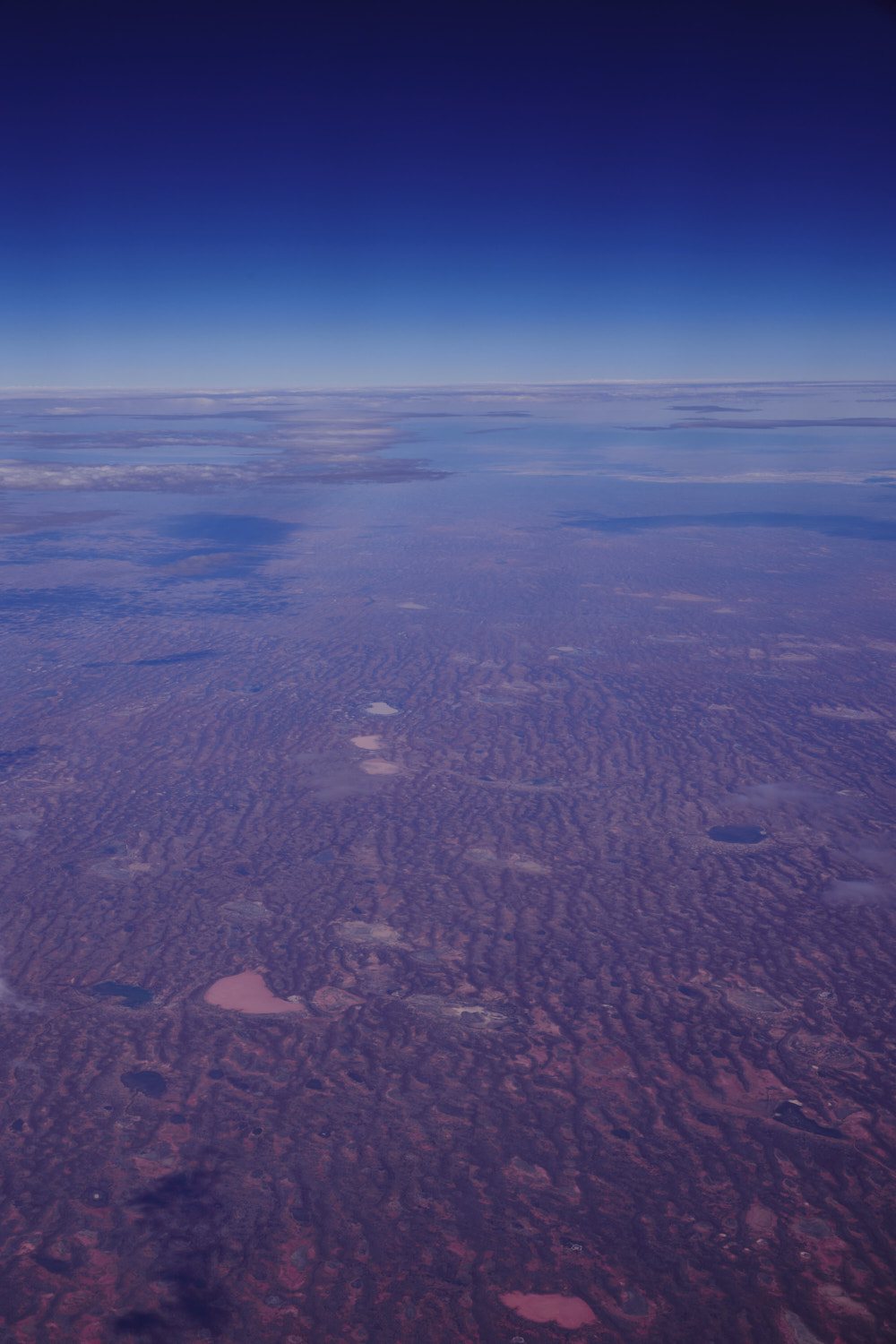
 looking at this on google maps, and looking a lot drier on google maps
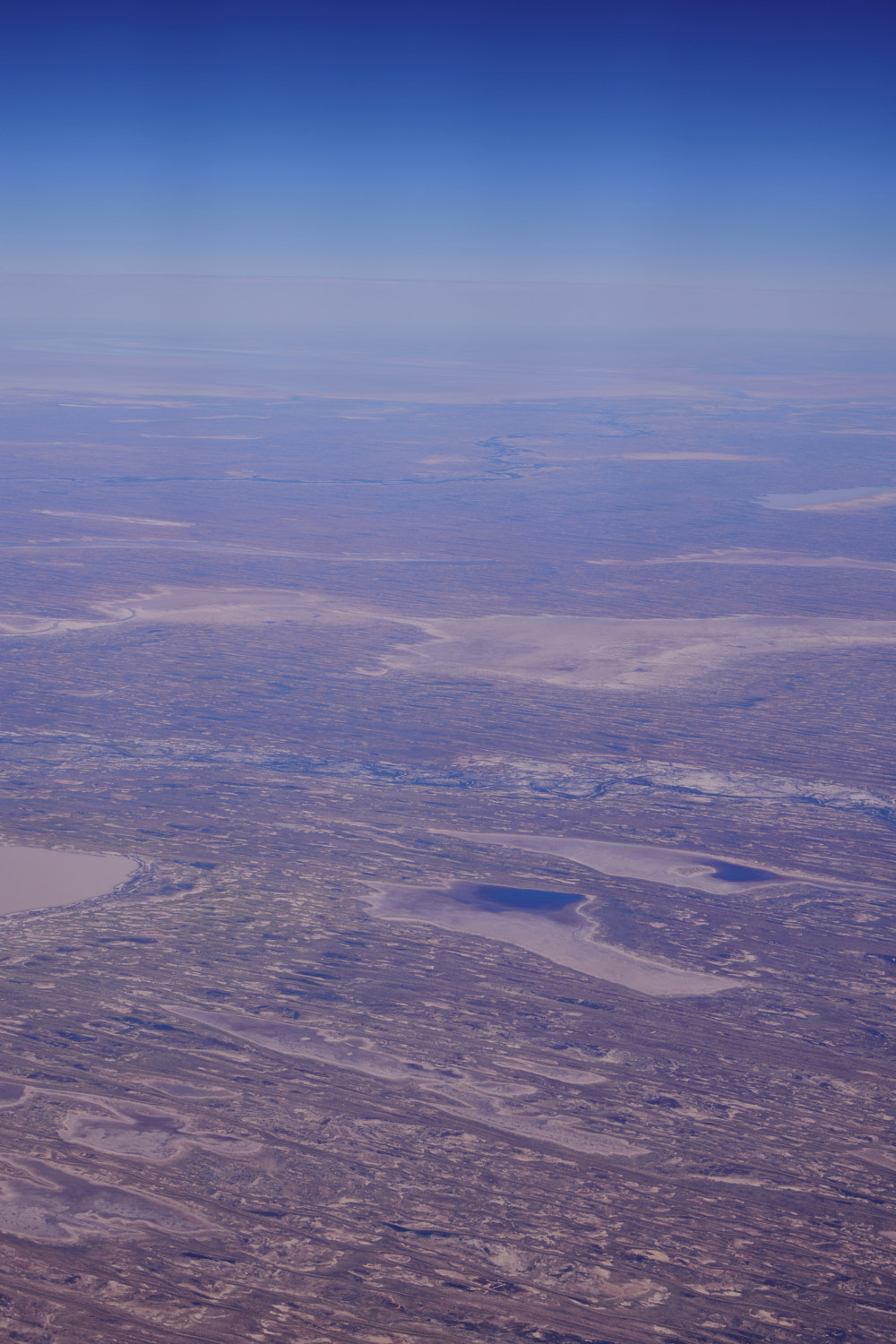
 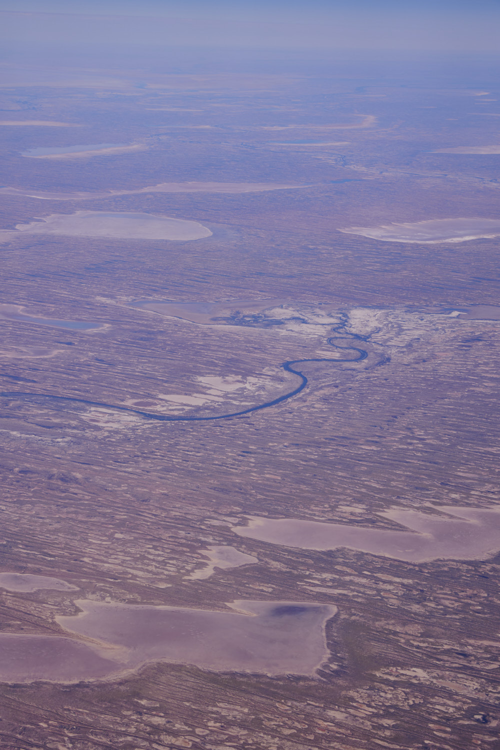 Simpson desert with a lot of water at the moment
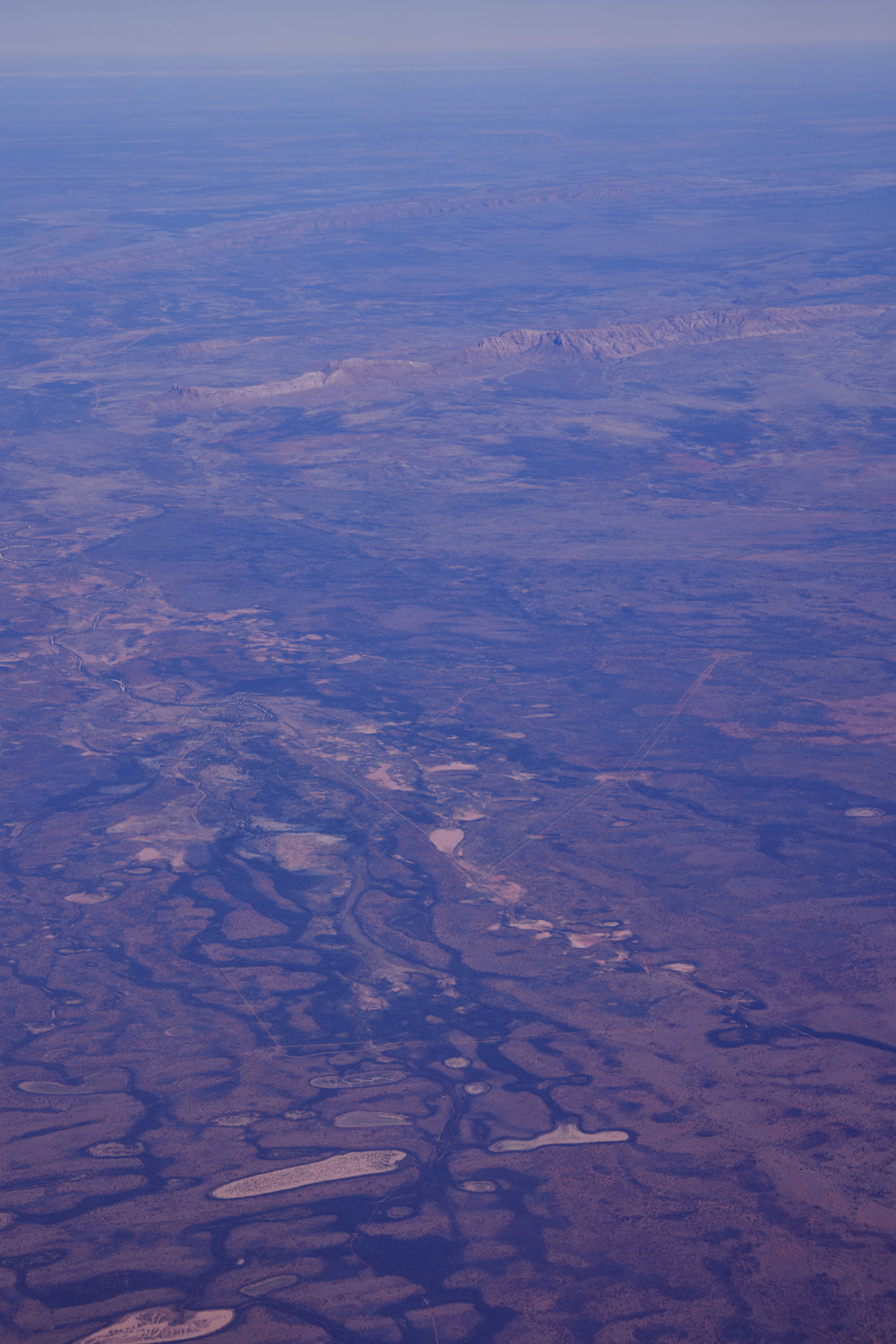
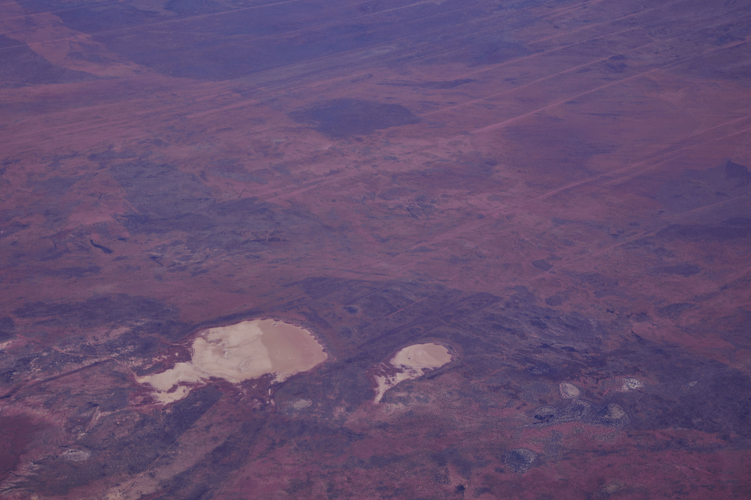
 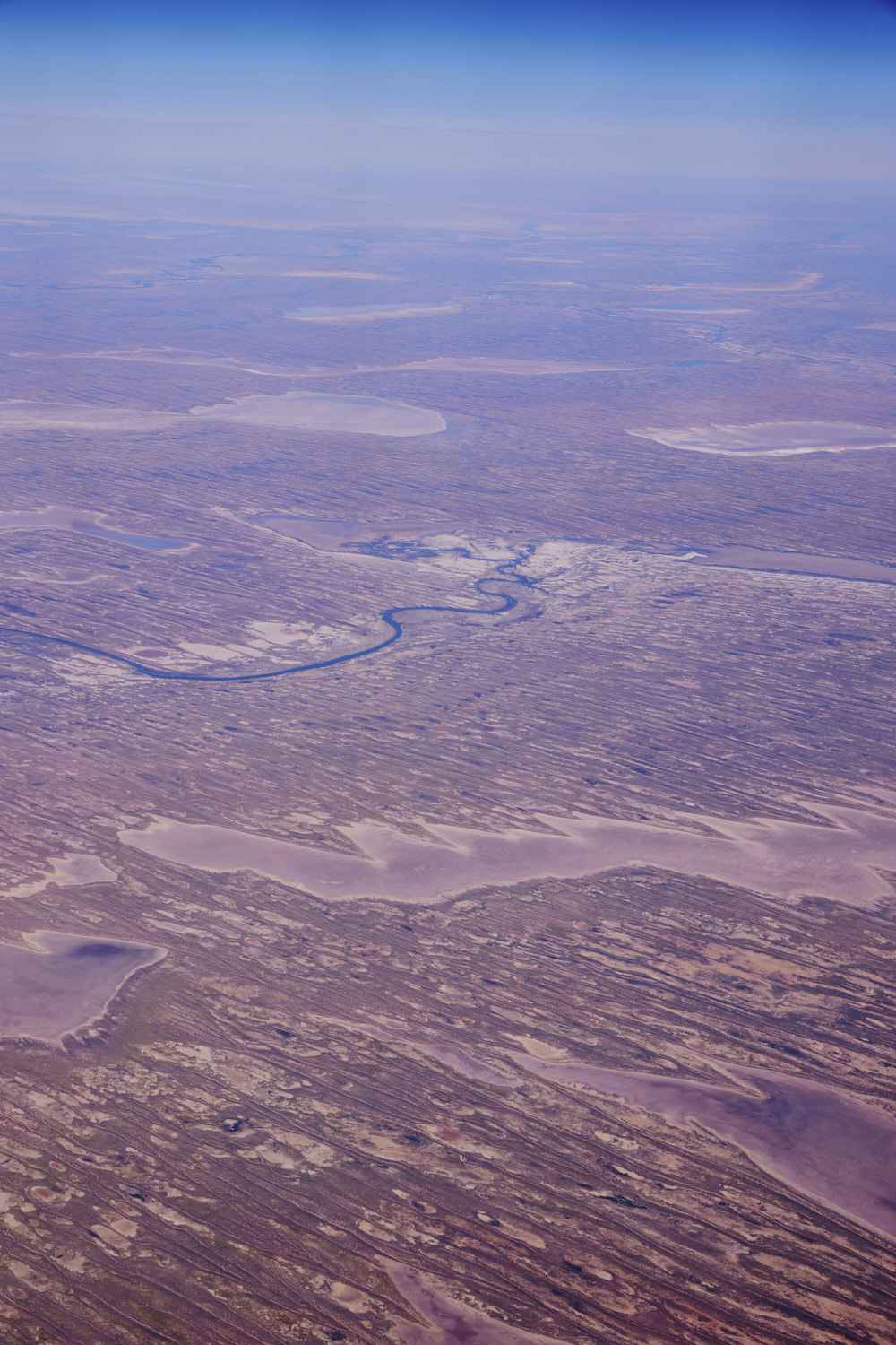 Lake Umaroona
 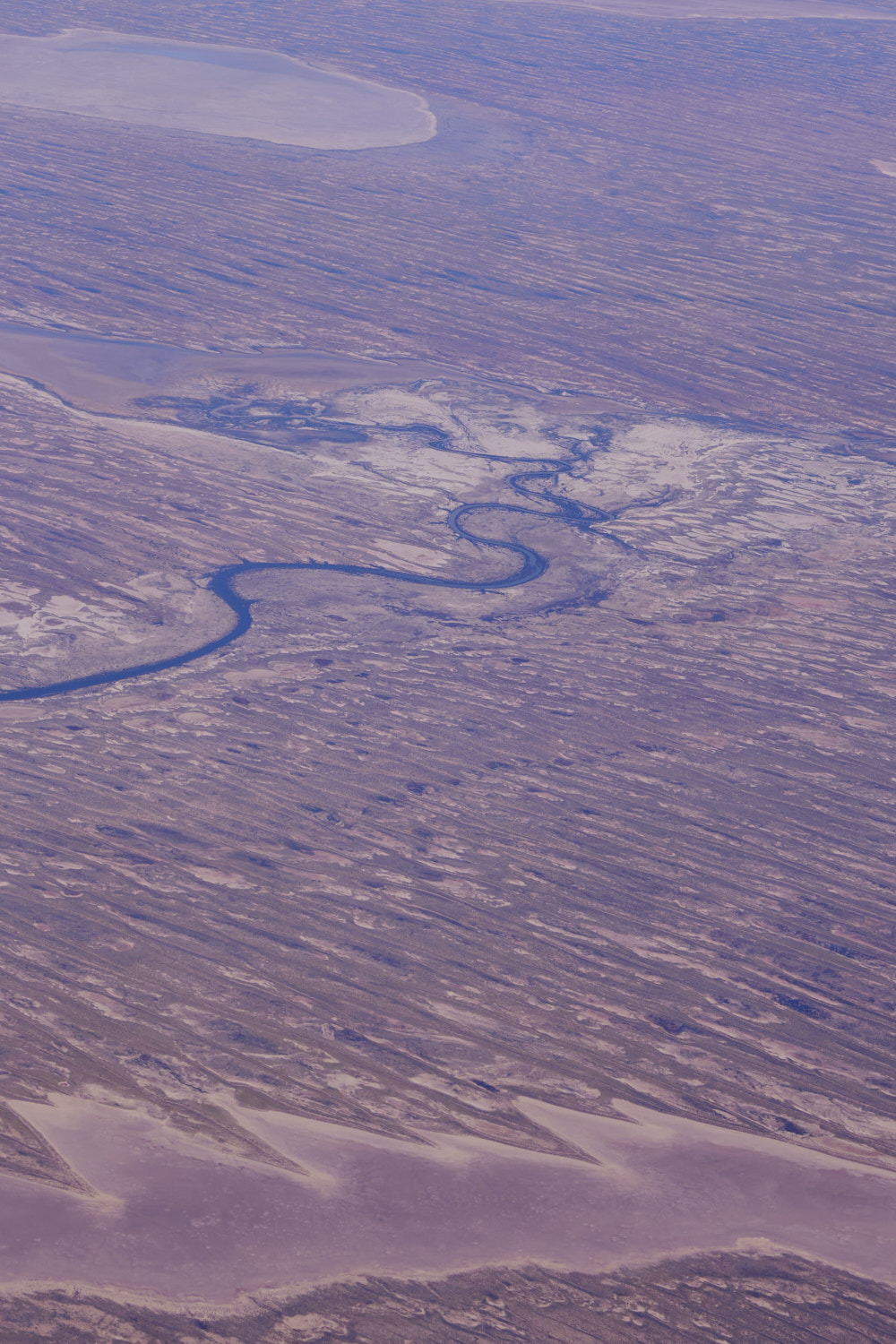 struggling to find the name of this river
 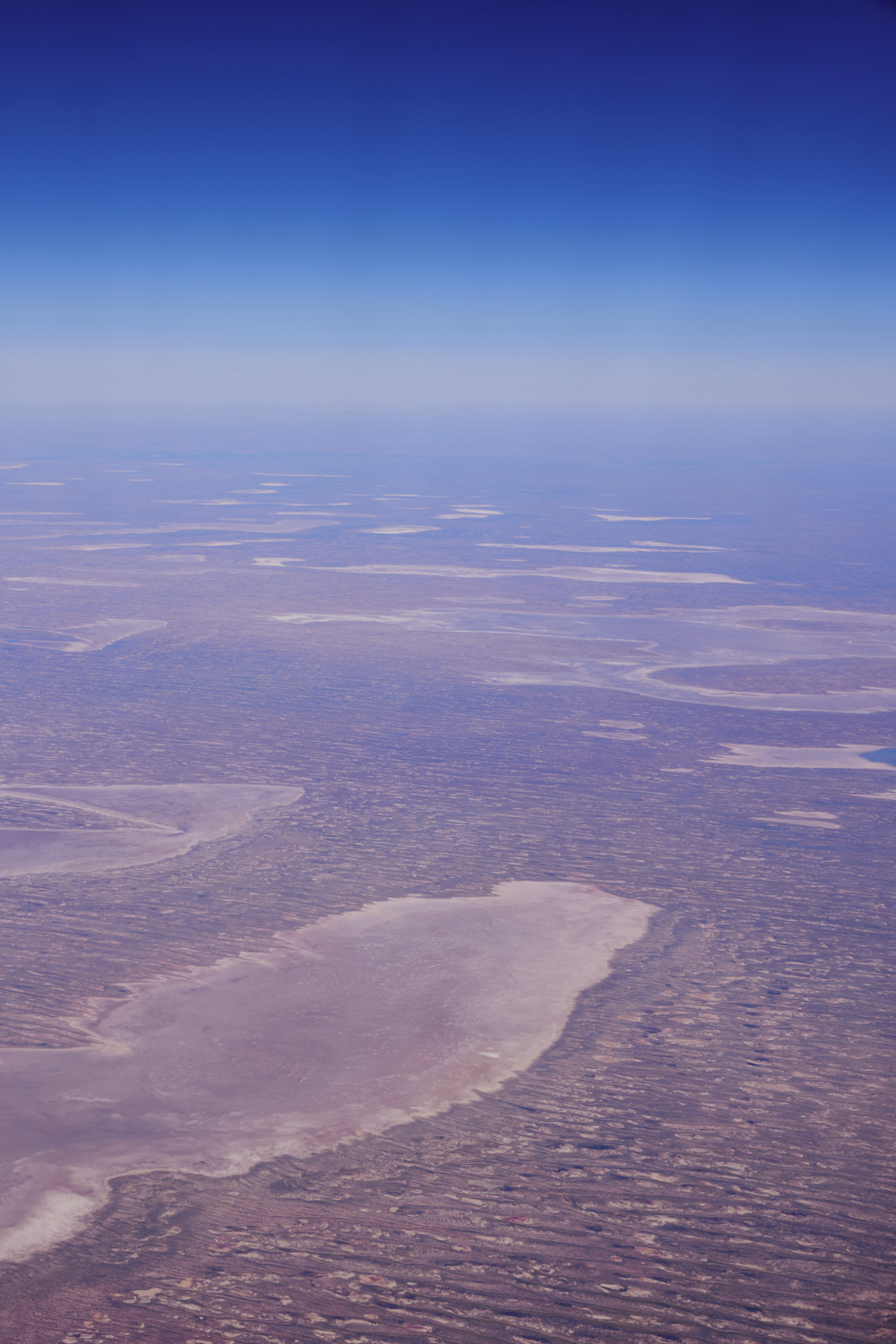 Lake Umaroona and Lake Griselda
 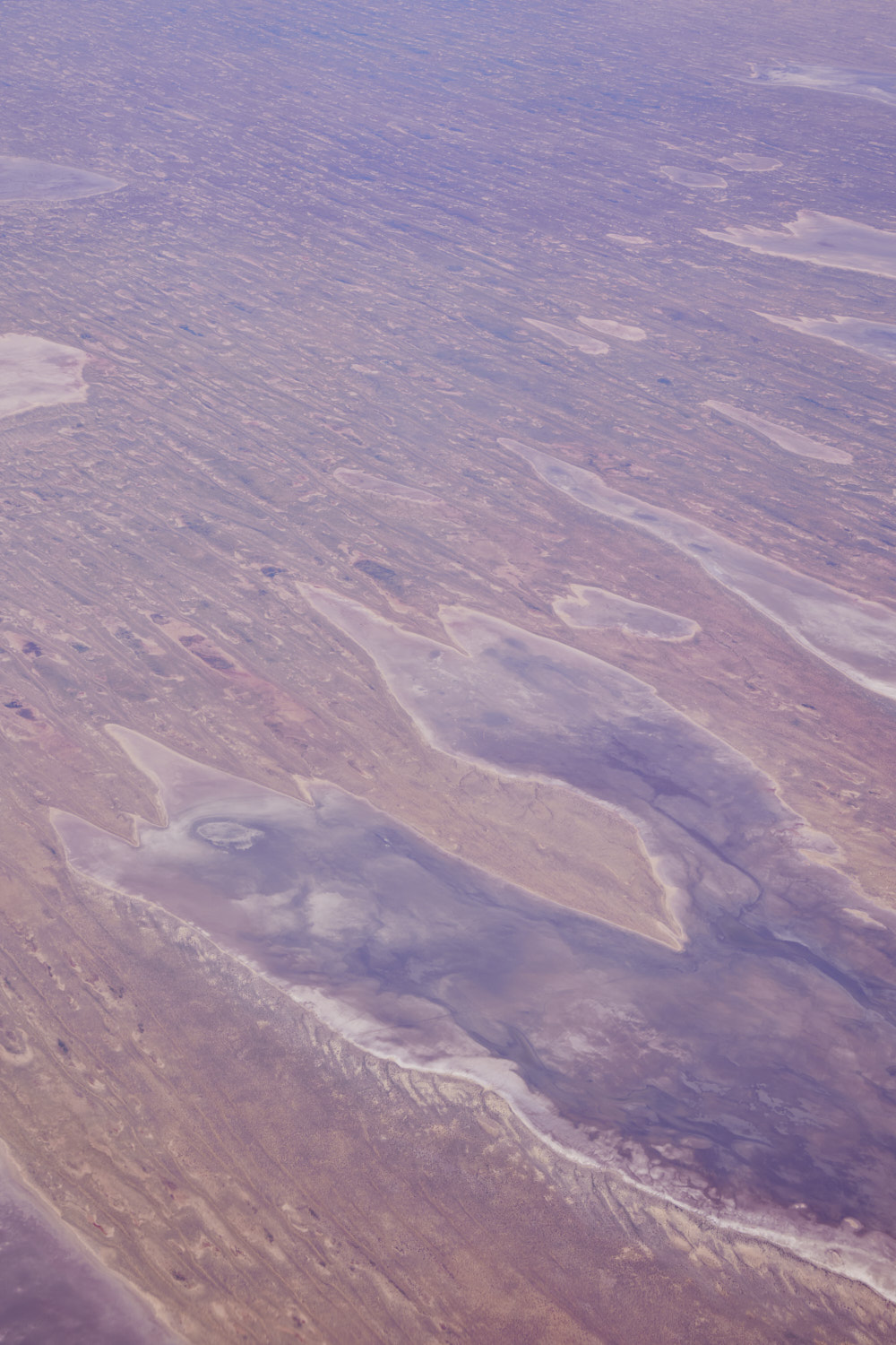 Poolowanna Lake
 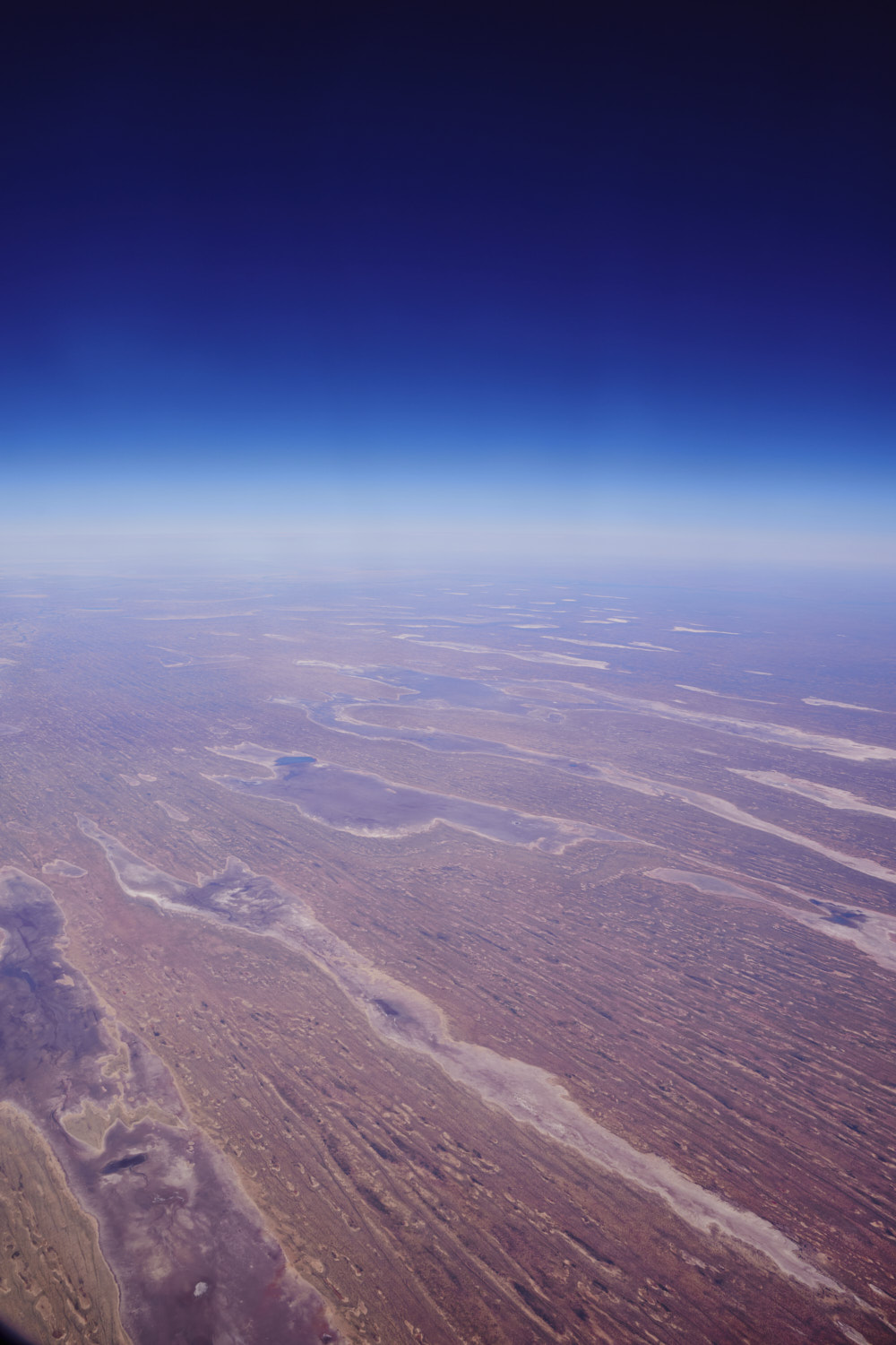 so many lakes in the Simpson desert
 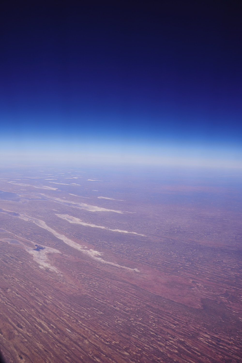 but now entering the Simpson desert where there are no lakes
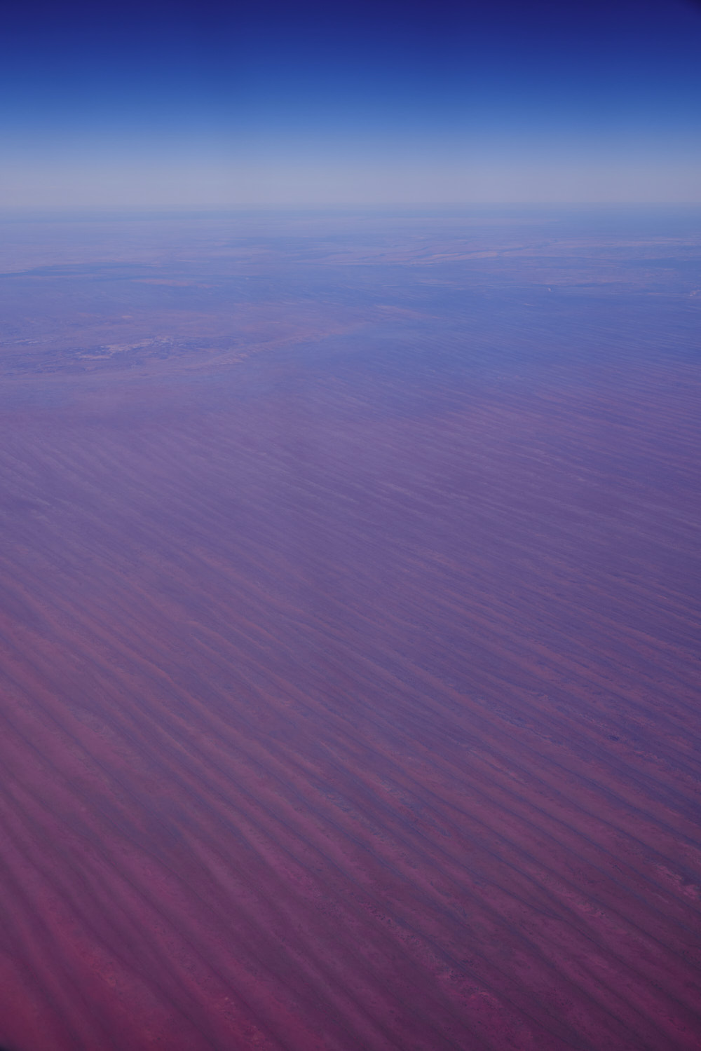 just red sand
 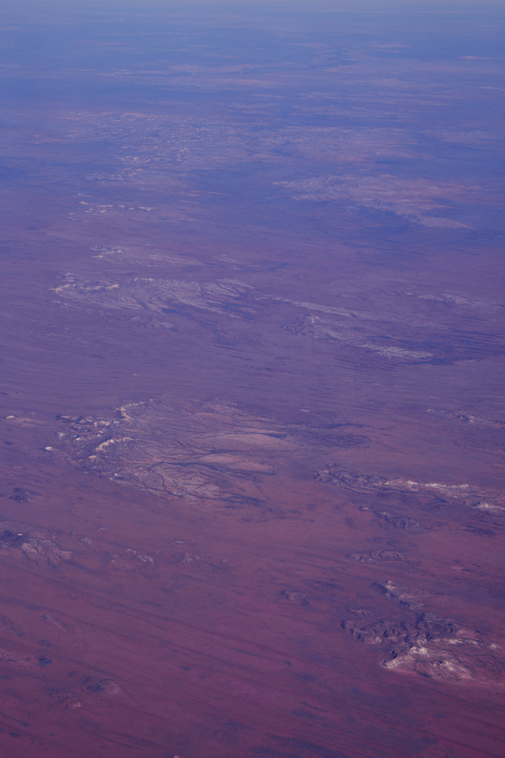 Ghan, Northern Territory
 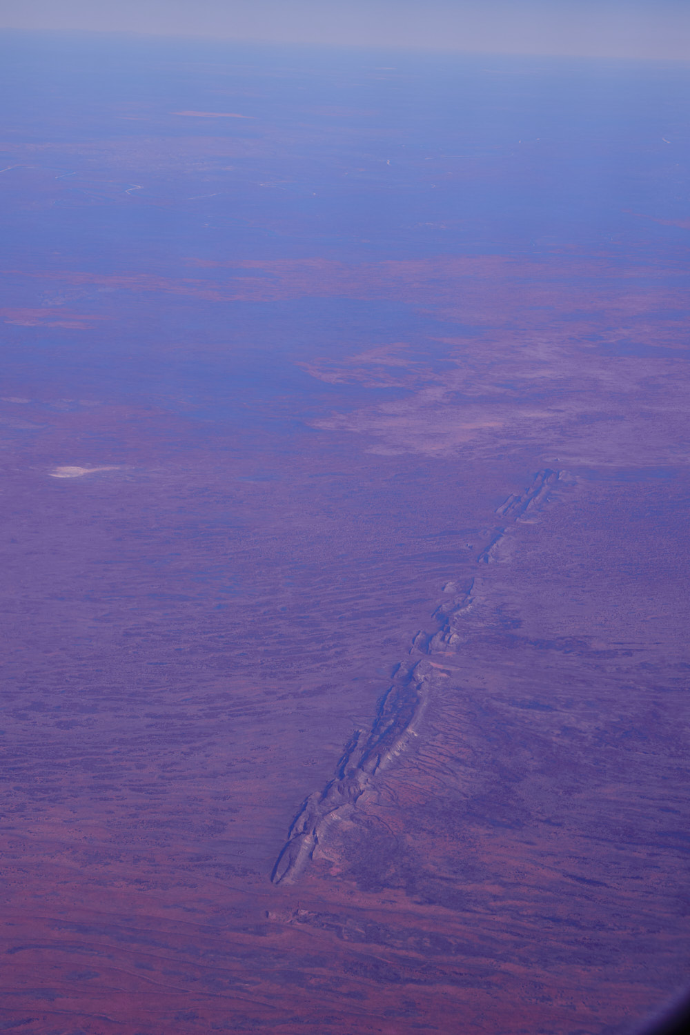 getting closer to Alice Springs
 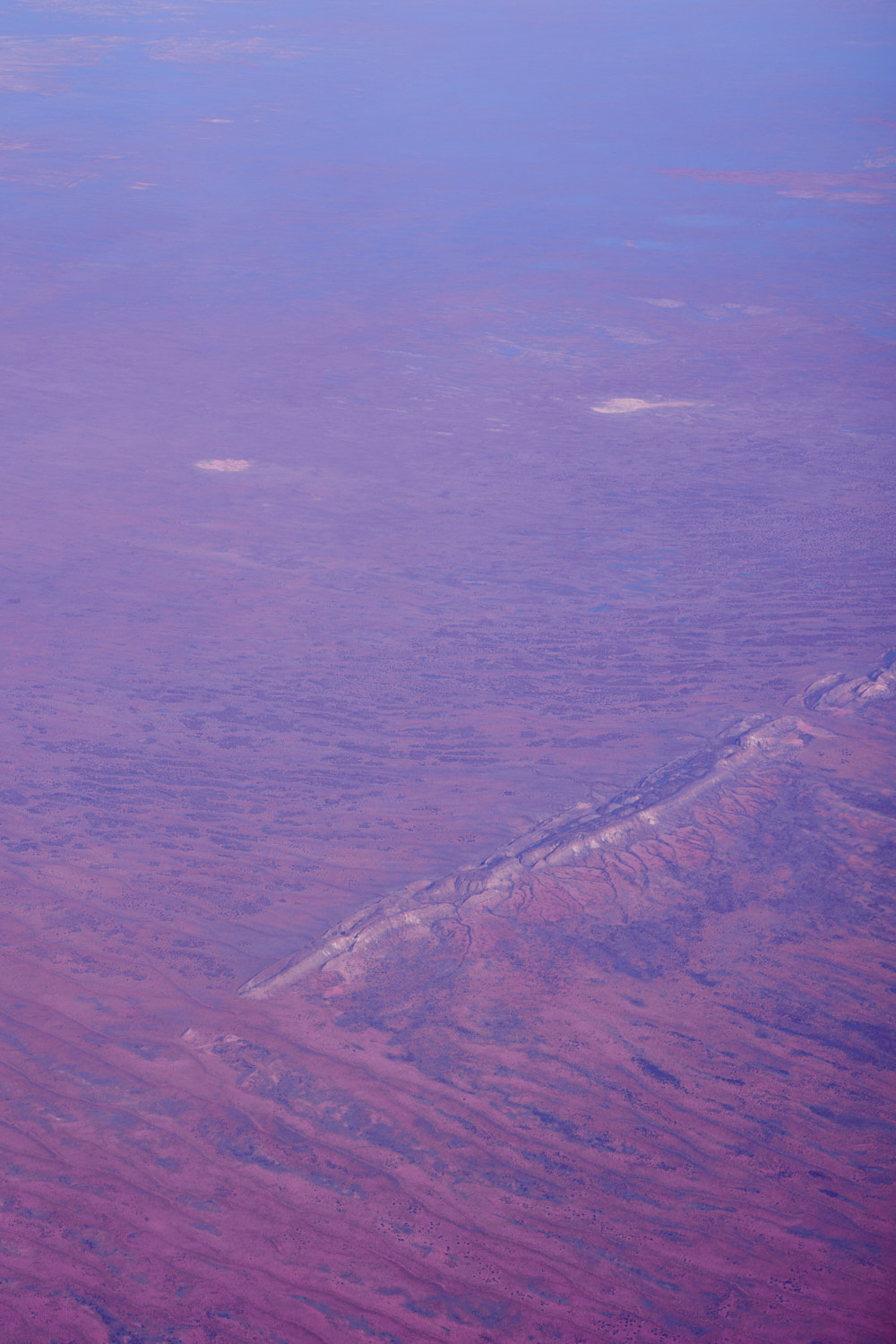 red sand and rock
 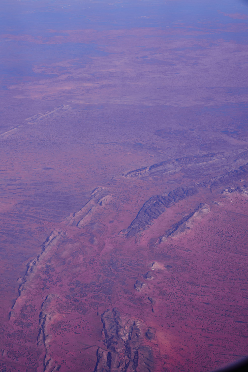 Hale
Hale 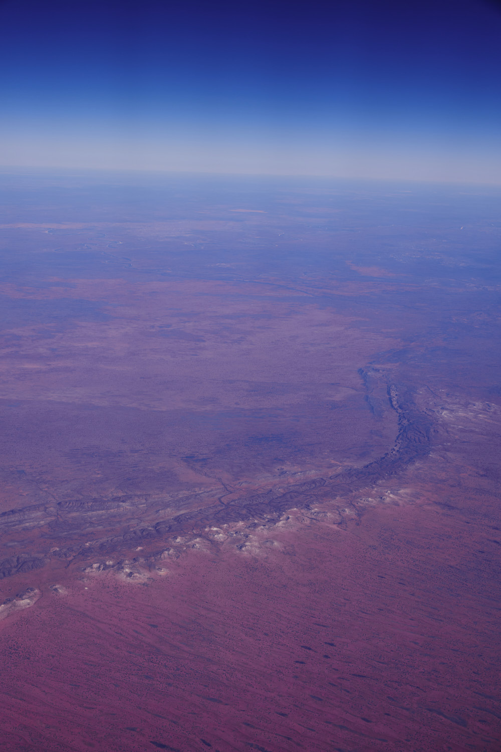 it constantly surprises me how little information there is about these big rock formations
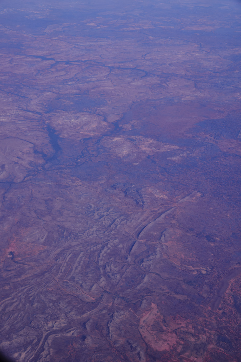 area of 200sqm and it says is Hale
 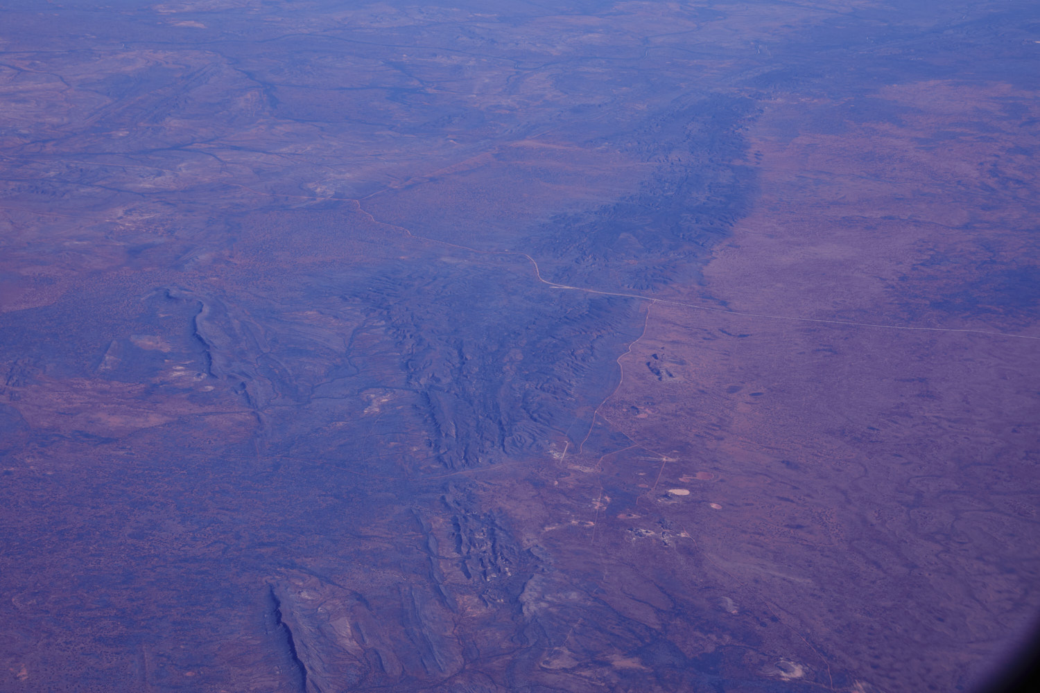 pretty much about to fly straight over Alice Springs
 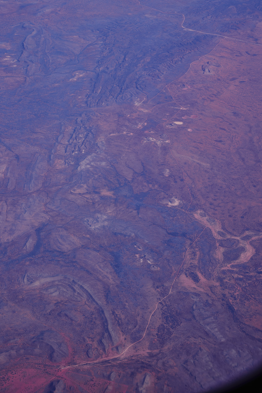 Still Hale
 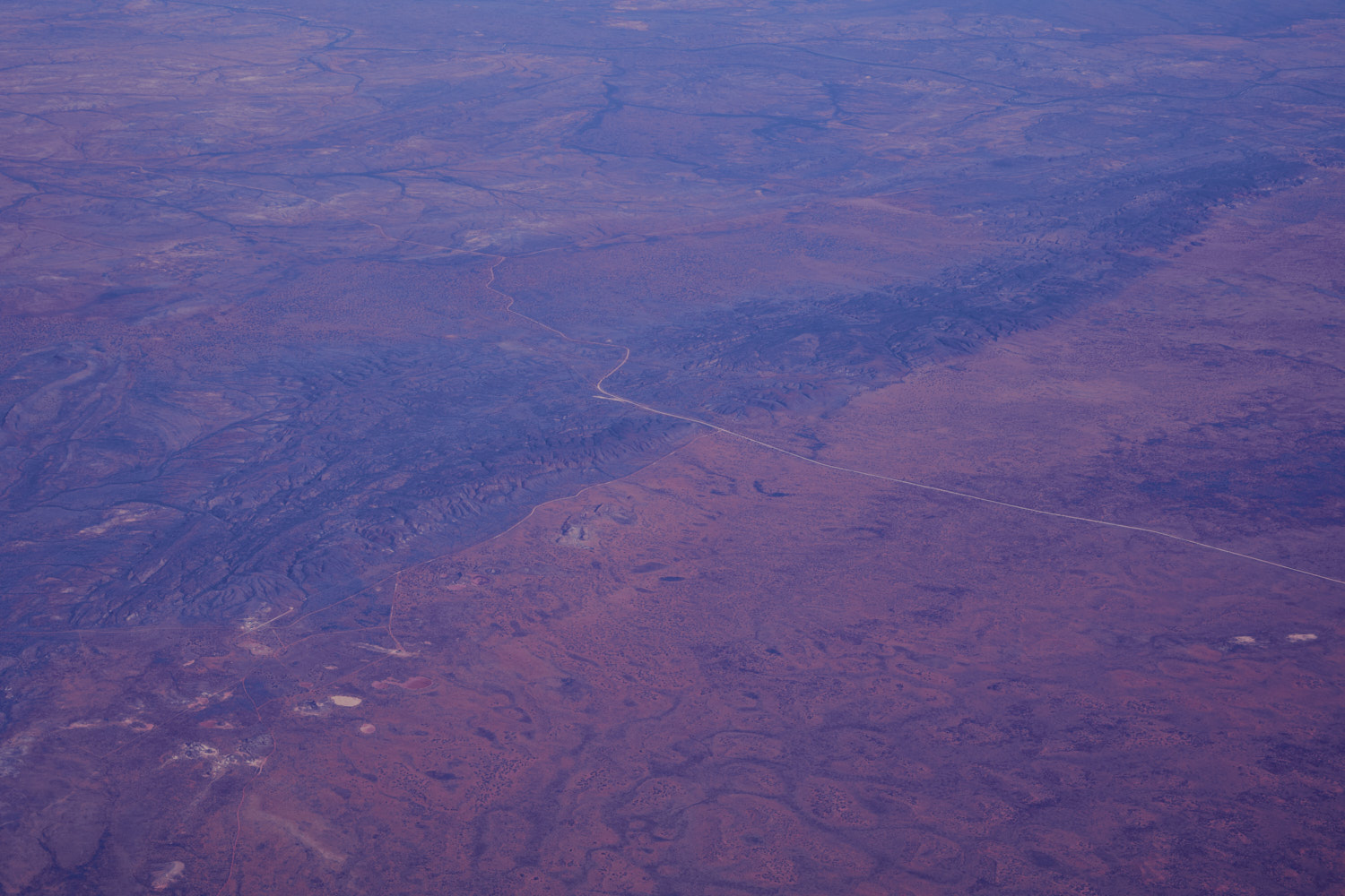 Maryvle road but then it also says Old South Road
 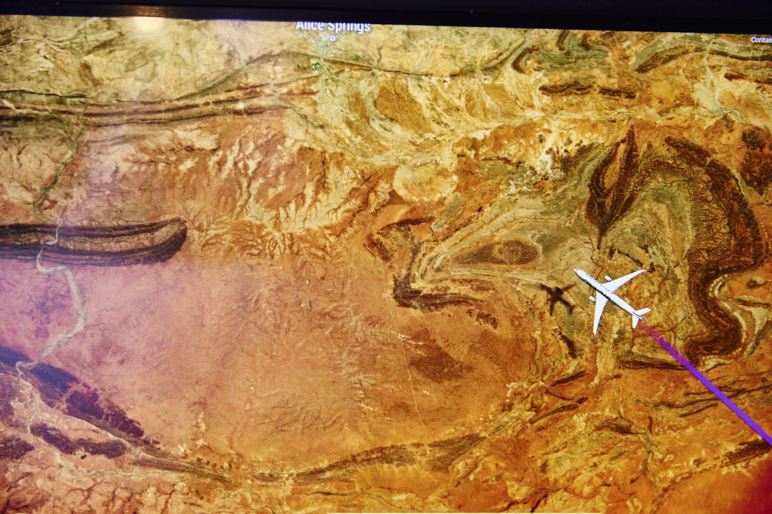 Hale I guess 🙂
 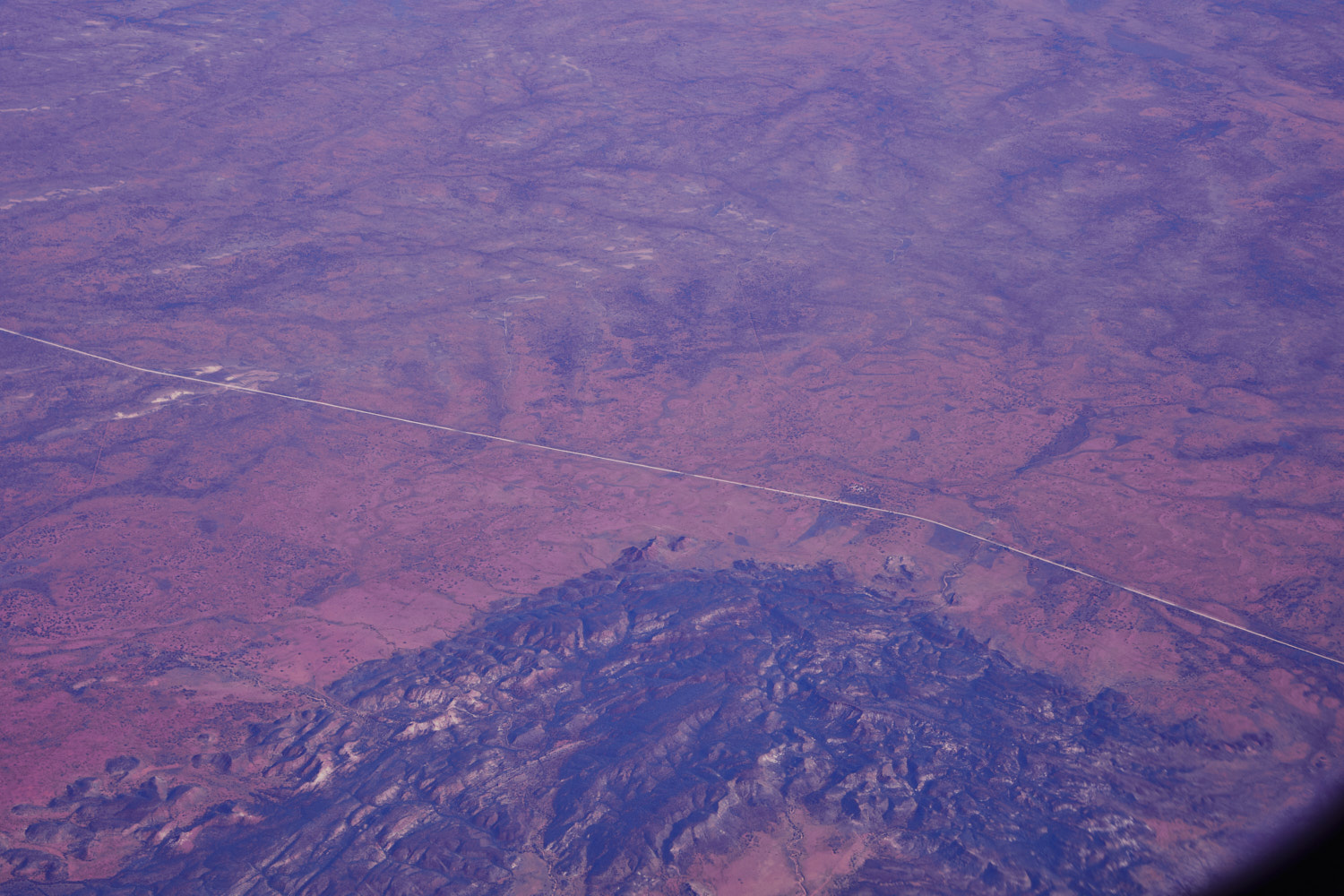 another big rocks formation with no name near the Alice Springs Off road club
 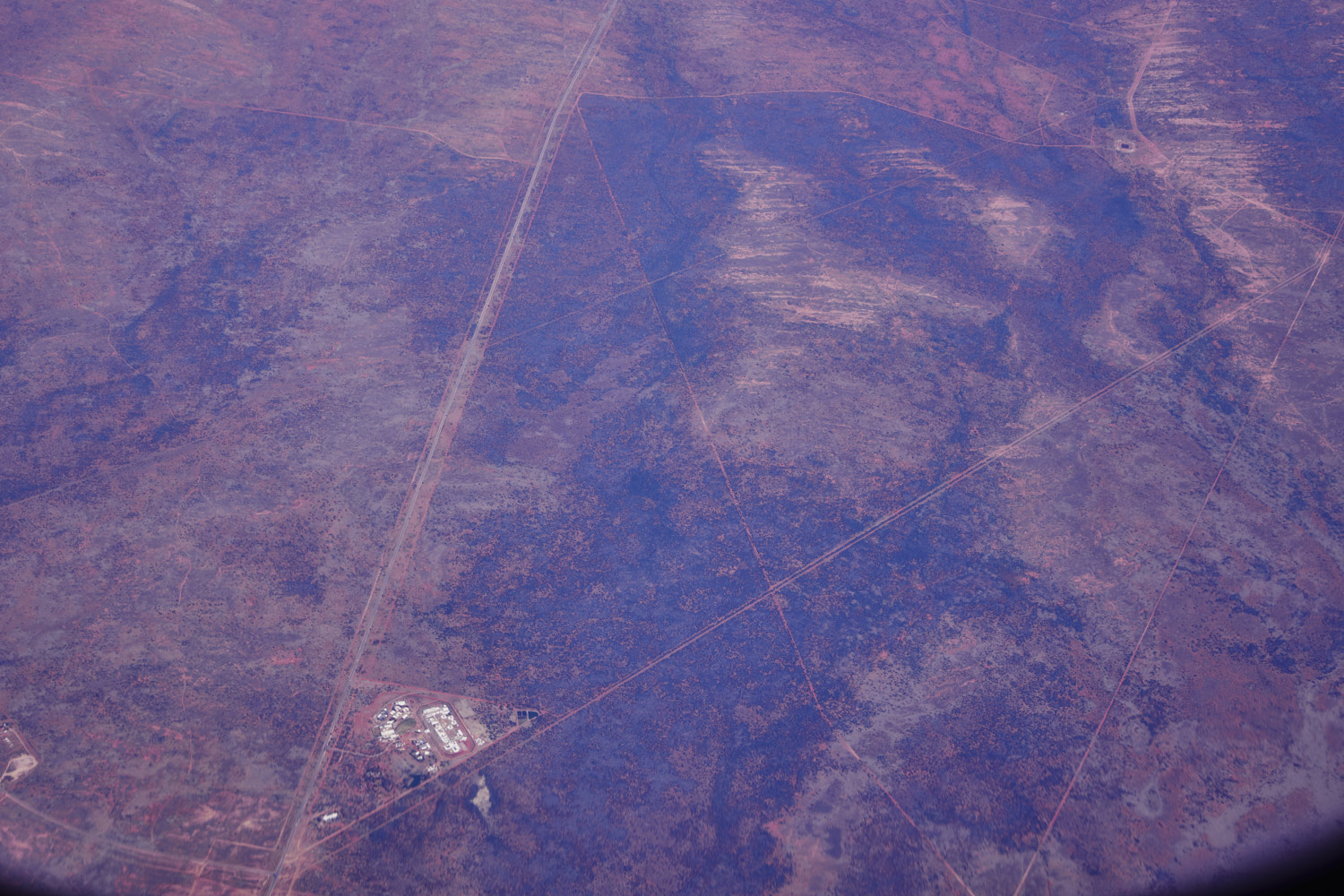 On top of Alice Springs, and that is the Alice Springs Correctional facility at High
 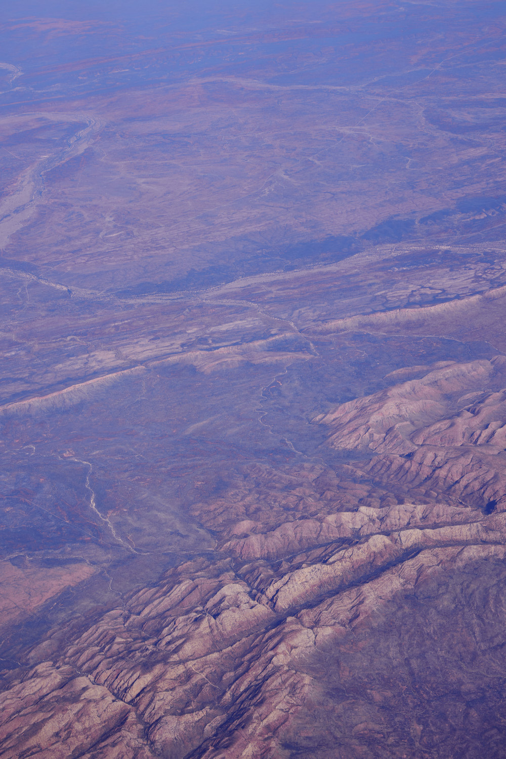 Standley Chasm
 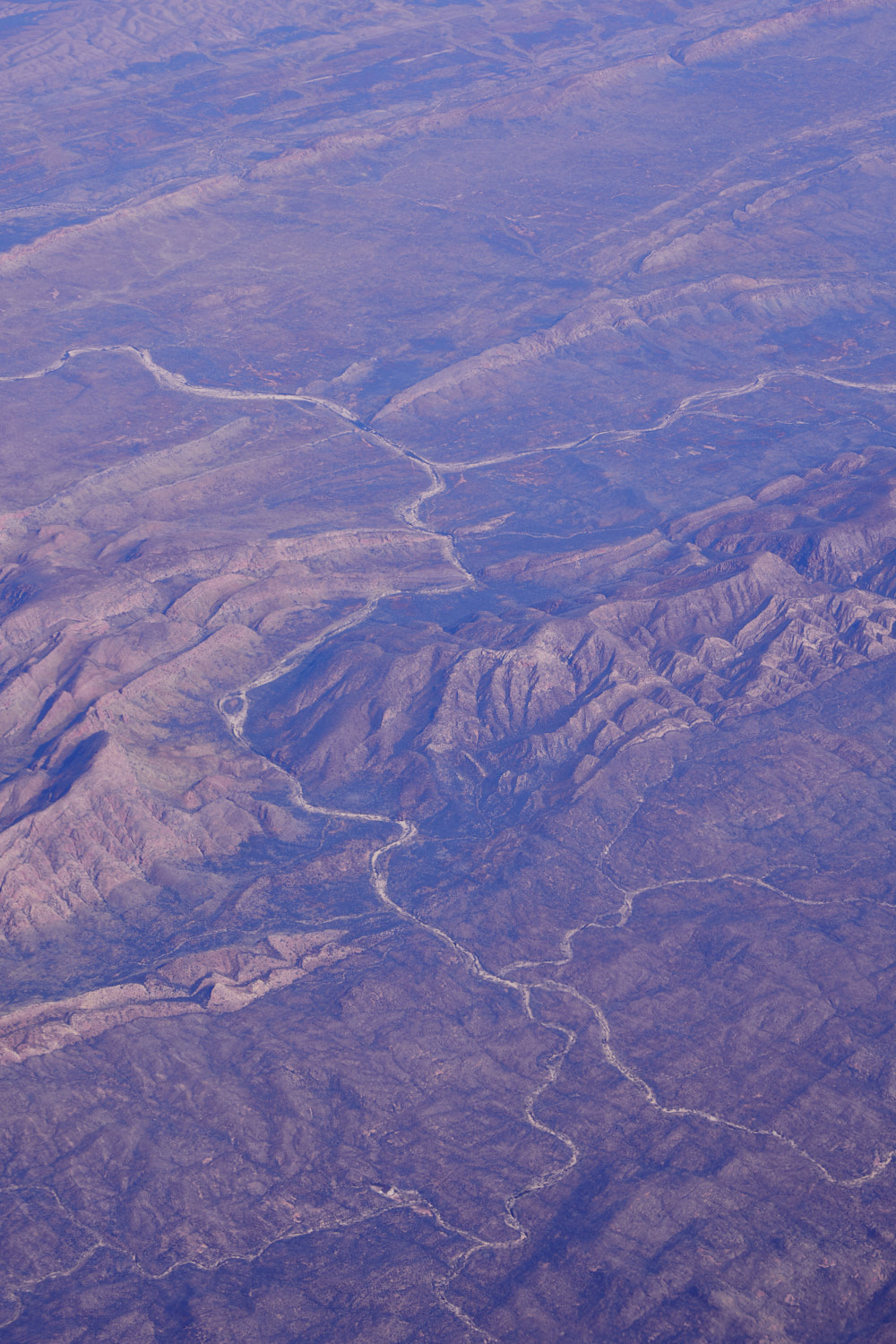 Burt Plain
 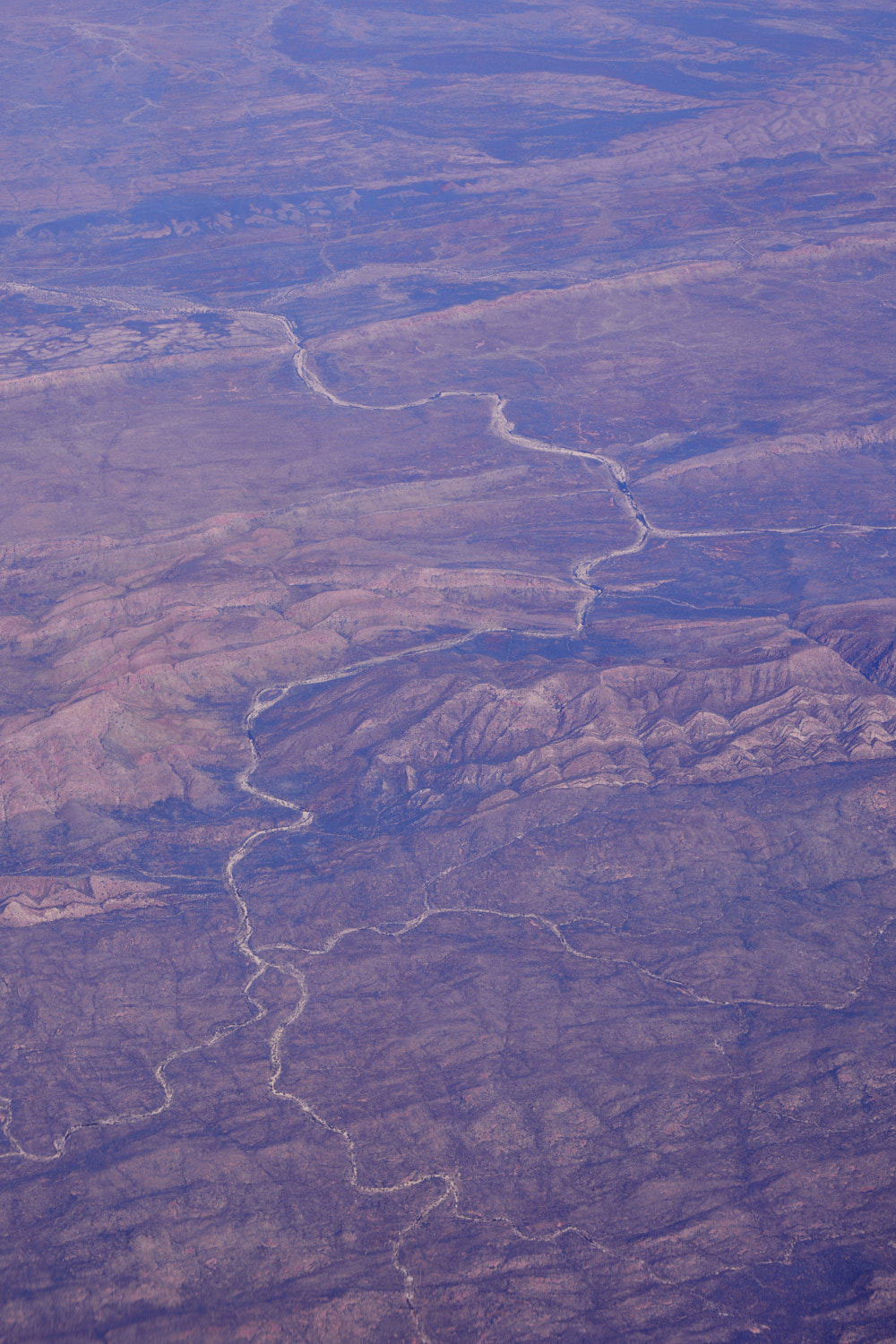 Burt Plain
 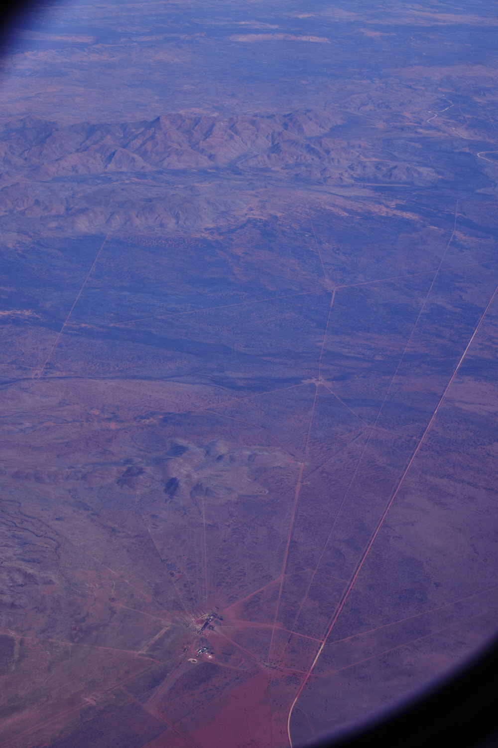 Narwietooma
 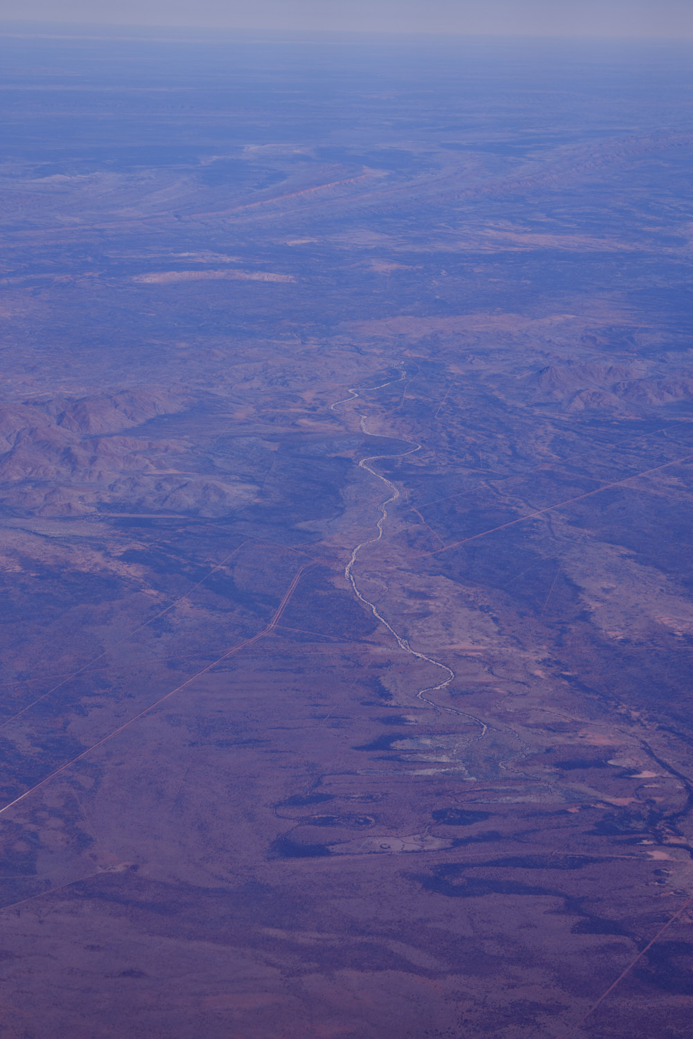 Dashwood Creek
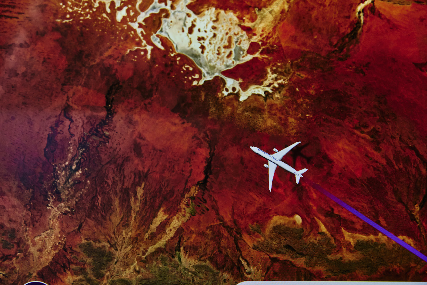
 MacDonnel Region
 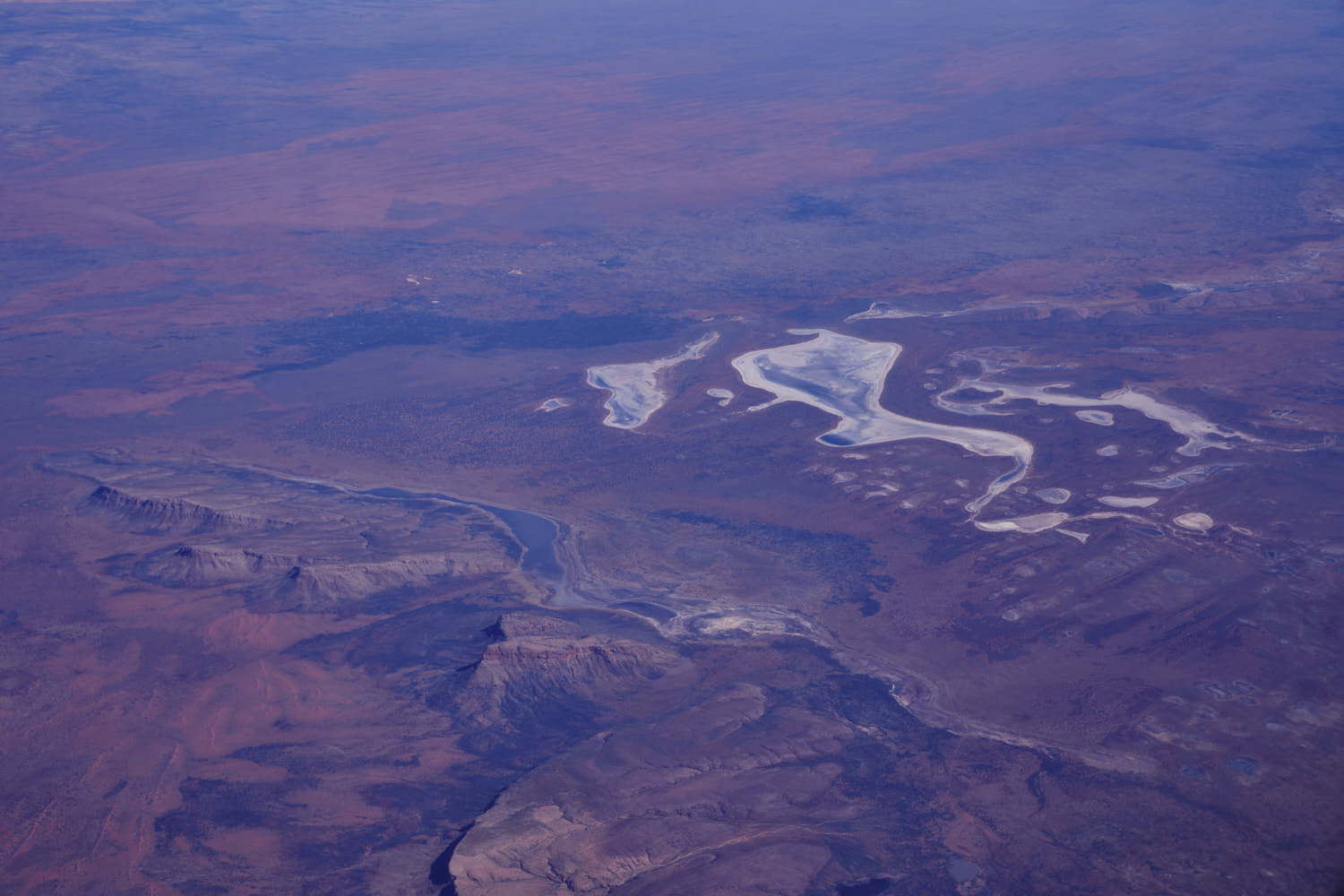 Lake Mackay
 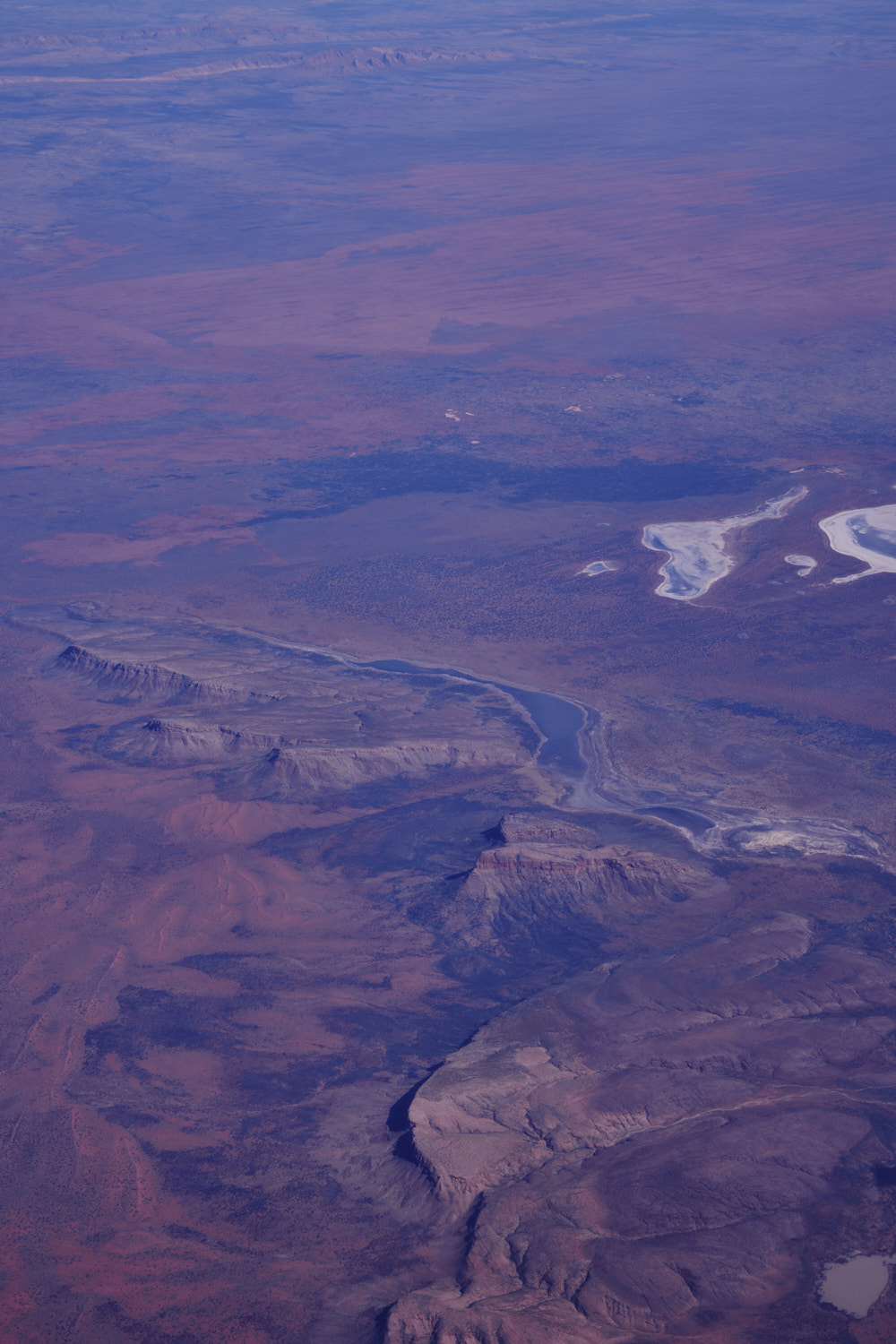 looks great, but remote
 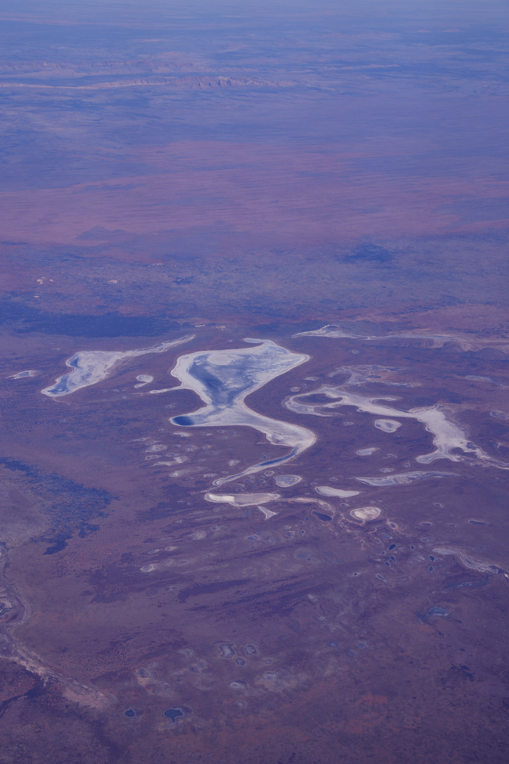 no roads
 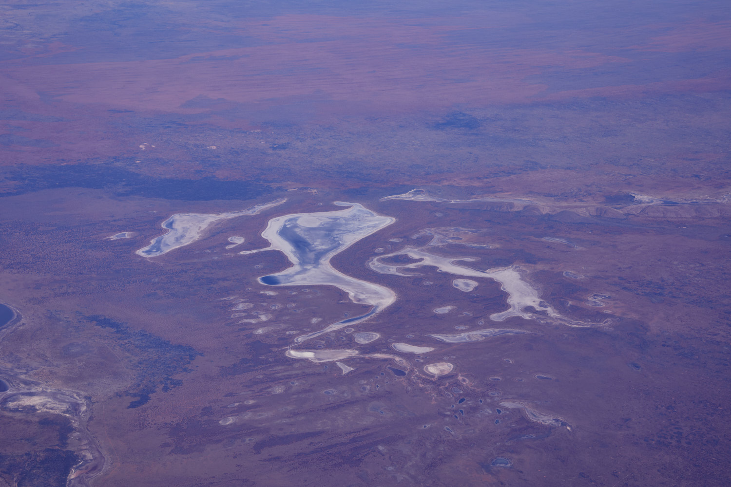 pretty
 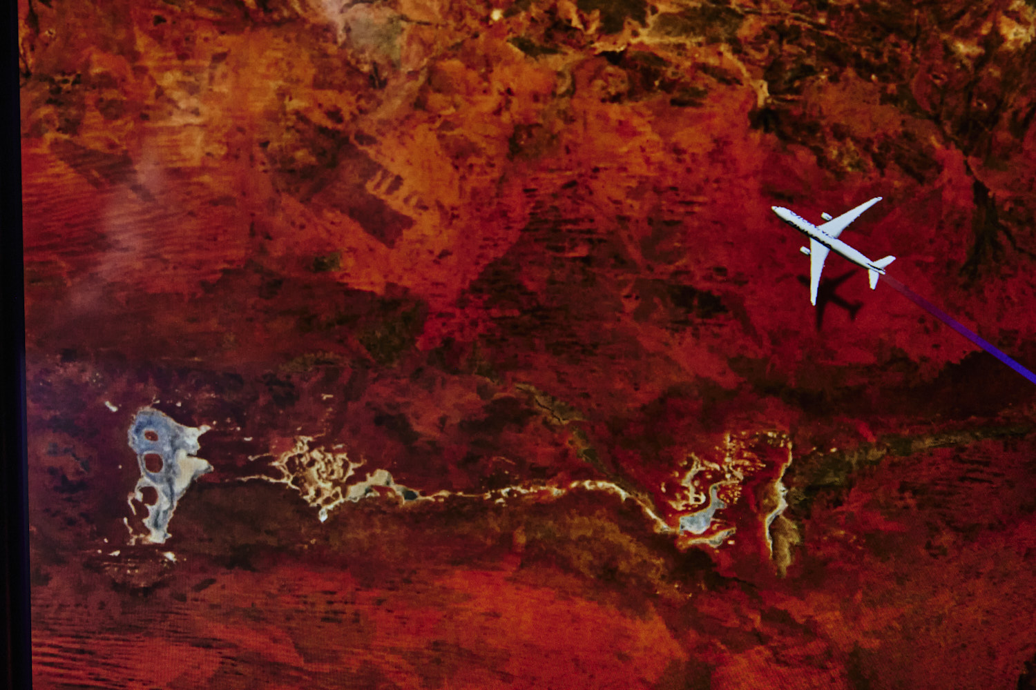 we are in very remote part of Australia
 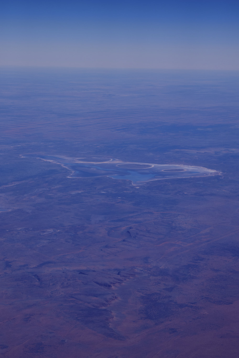 Lake Bennen and Newhaven Sanctuary homestead
 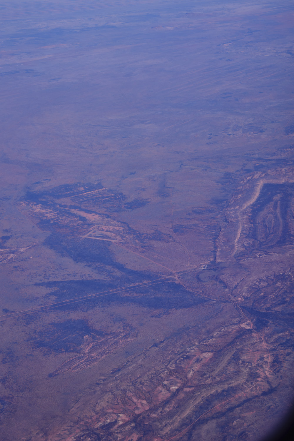 Mount Doreen Cattle Station
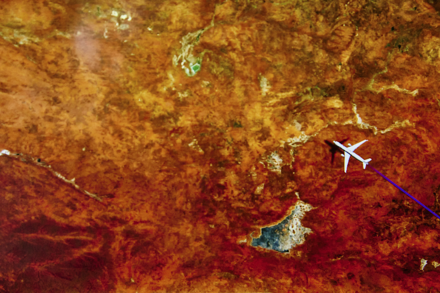
 interesting non human made shapes, nesr the border with Western Australia
 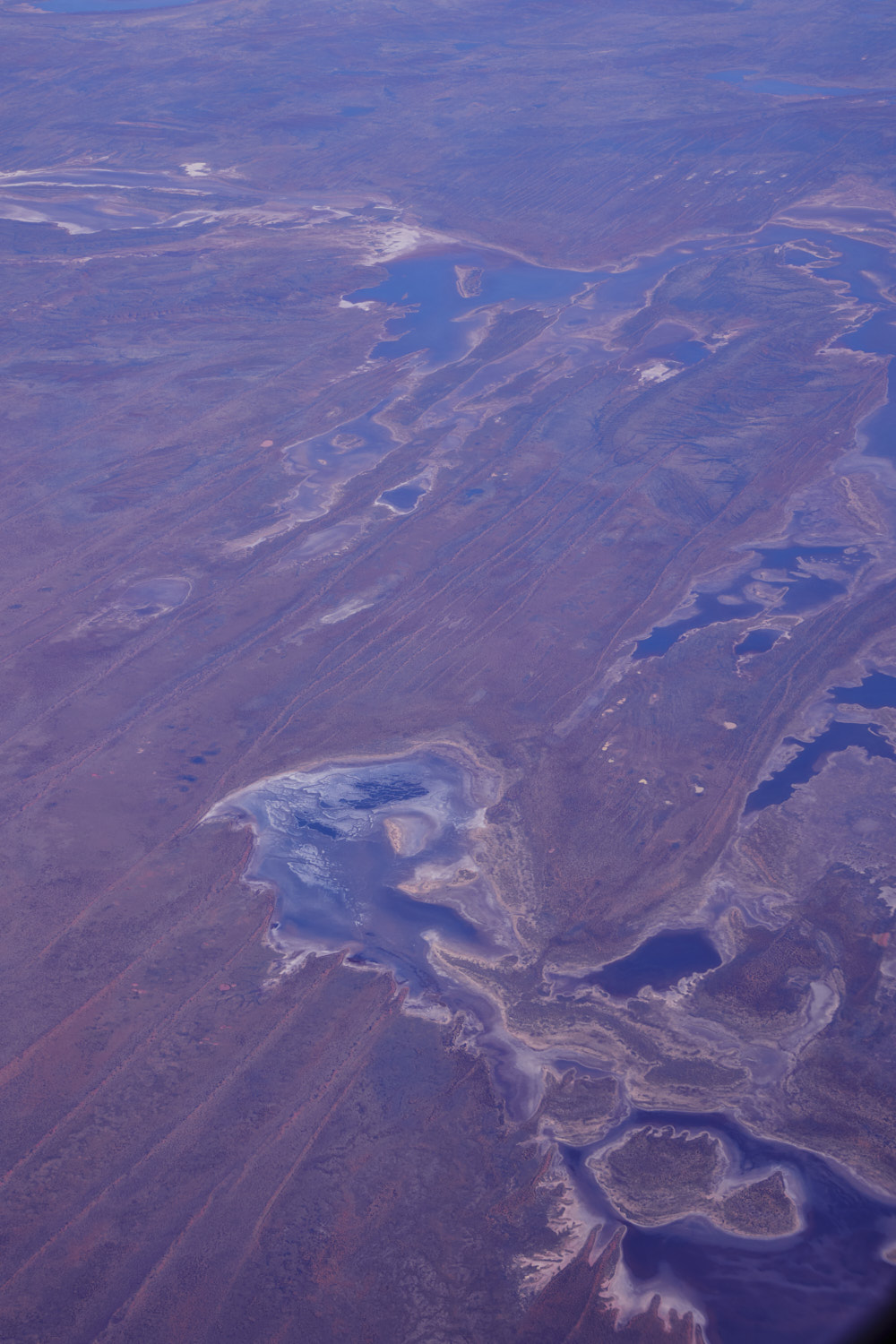 Lake White, still in Northern Territory, border is roughly in the middle of the photo
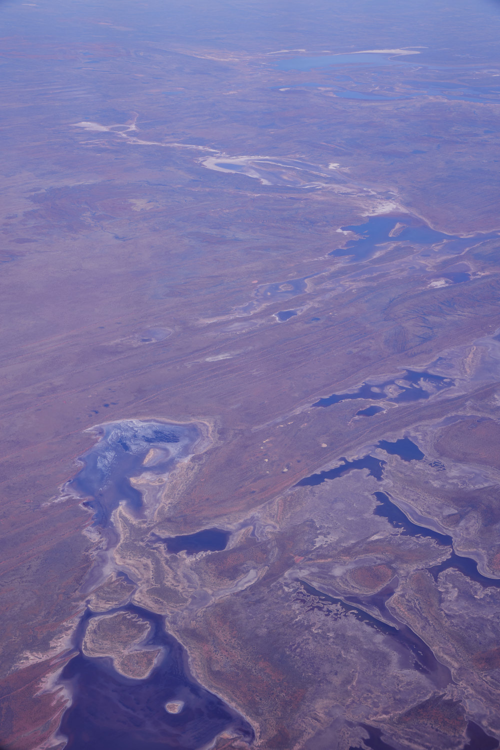 entering Western Australia
 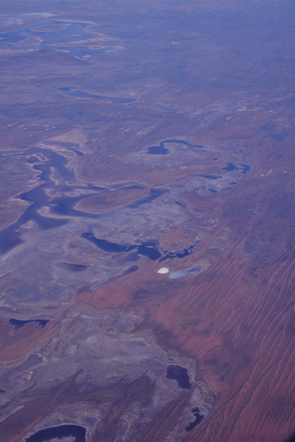 Lake White in W.A., Miningarie Creek
 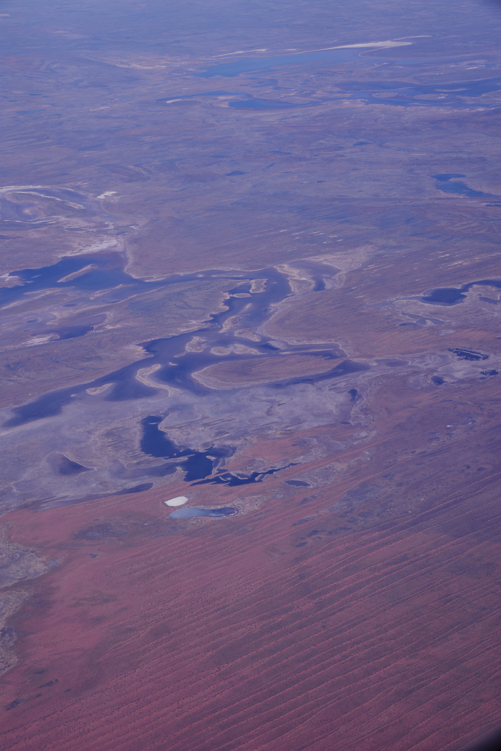 Tanami according to google, but a solid 4-6 km away from
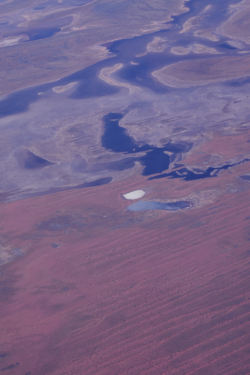 salt lake ?
 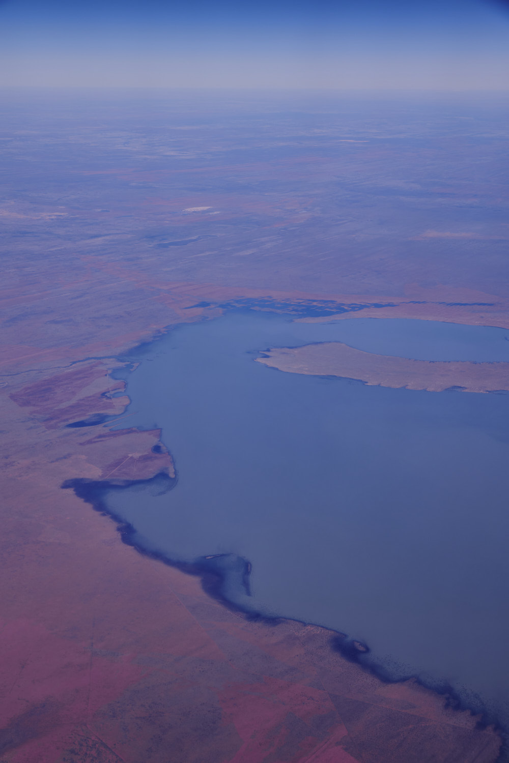 lake Gregory
 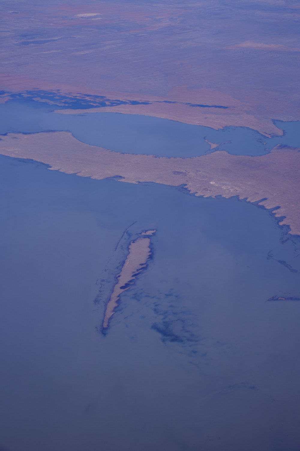 with a lot of water at the moment
 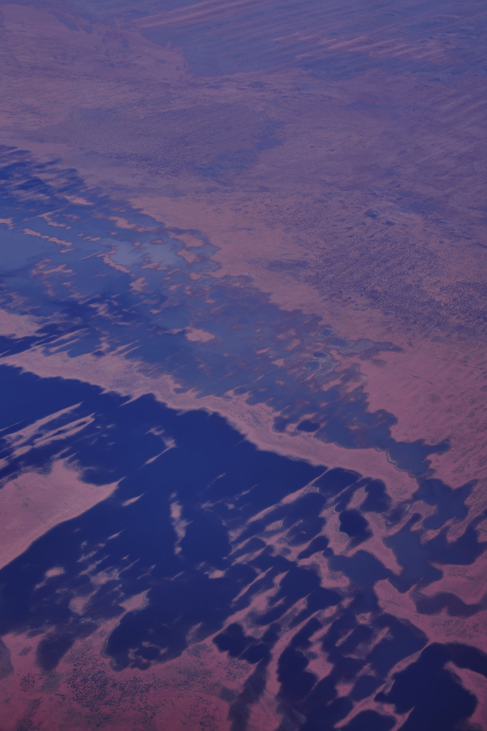 Sturt Creek and or Waterfall creek
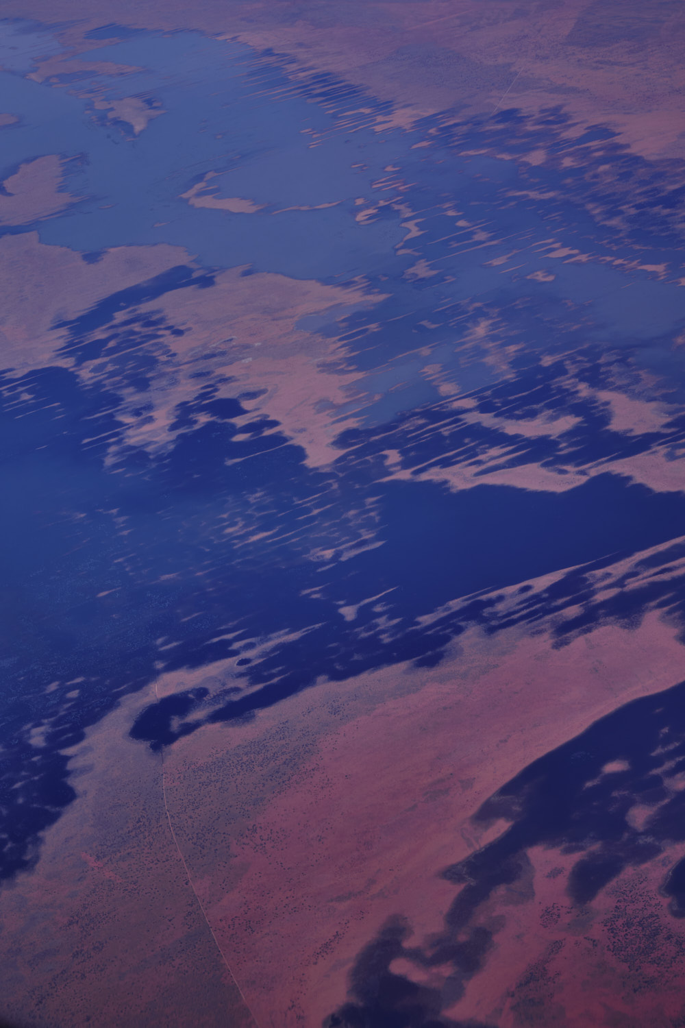
 near Mueller ranges
 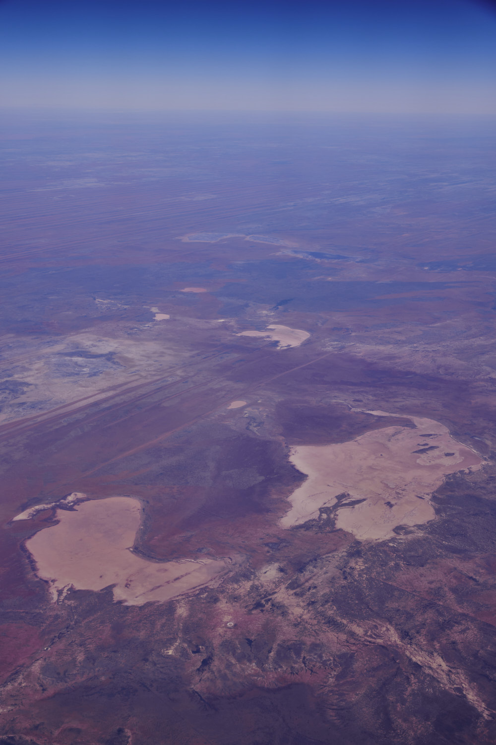 near lake Betty
 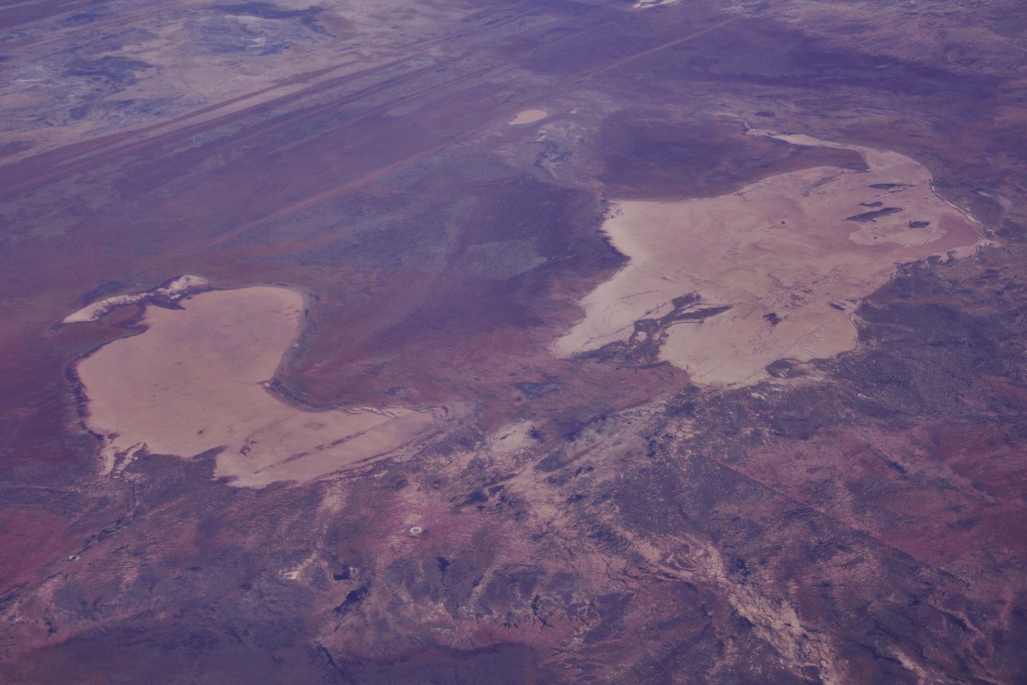 2 lakes with no names ( according to google ) so I’ll it Lago Australis
 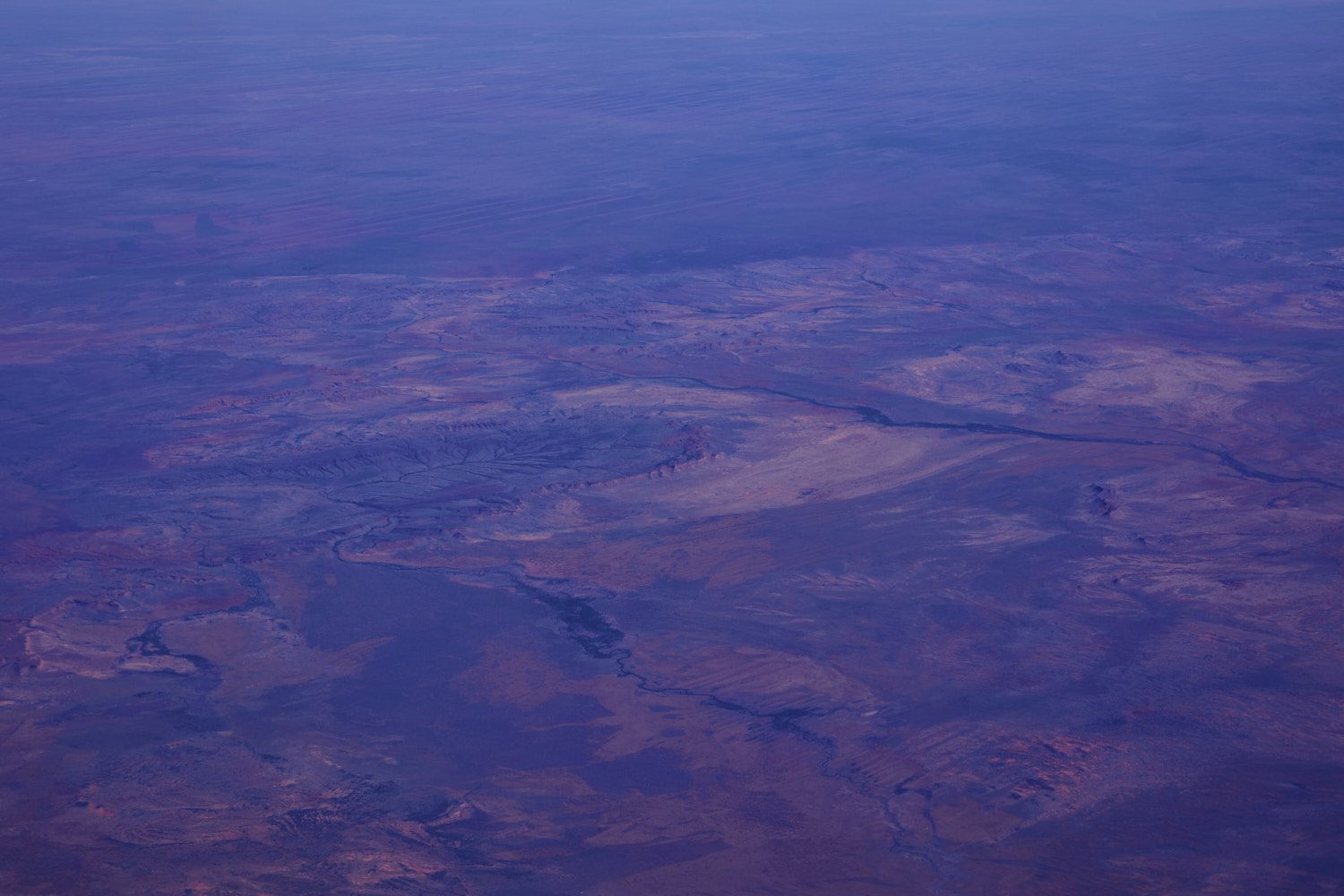 St George Ranges
 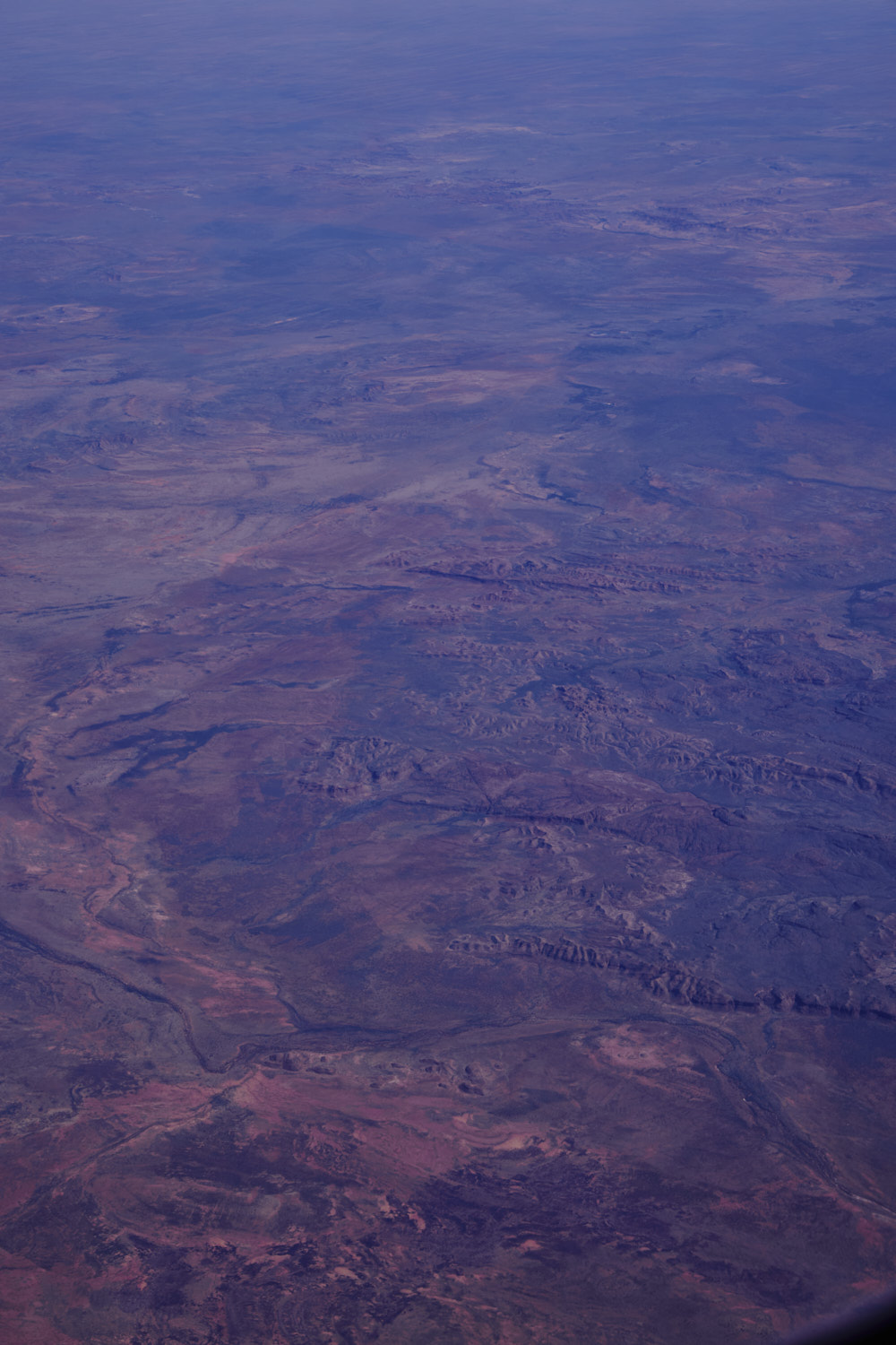 St Georges Ranges
 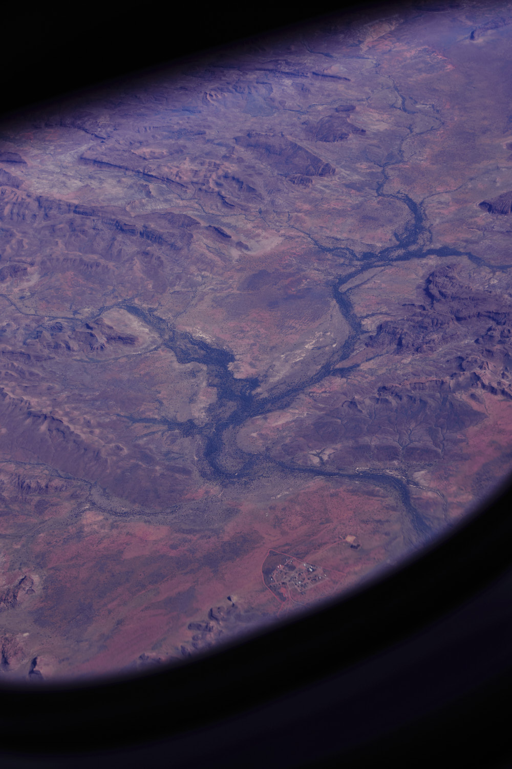 Yakanarra
 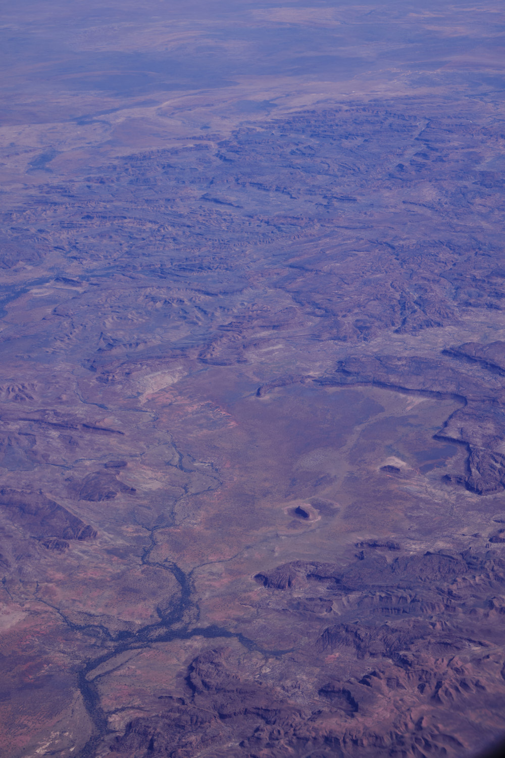 Still St Georges Ranges
 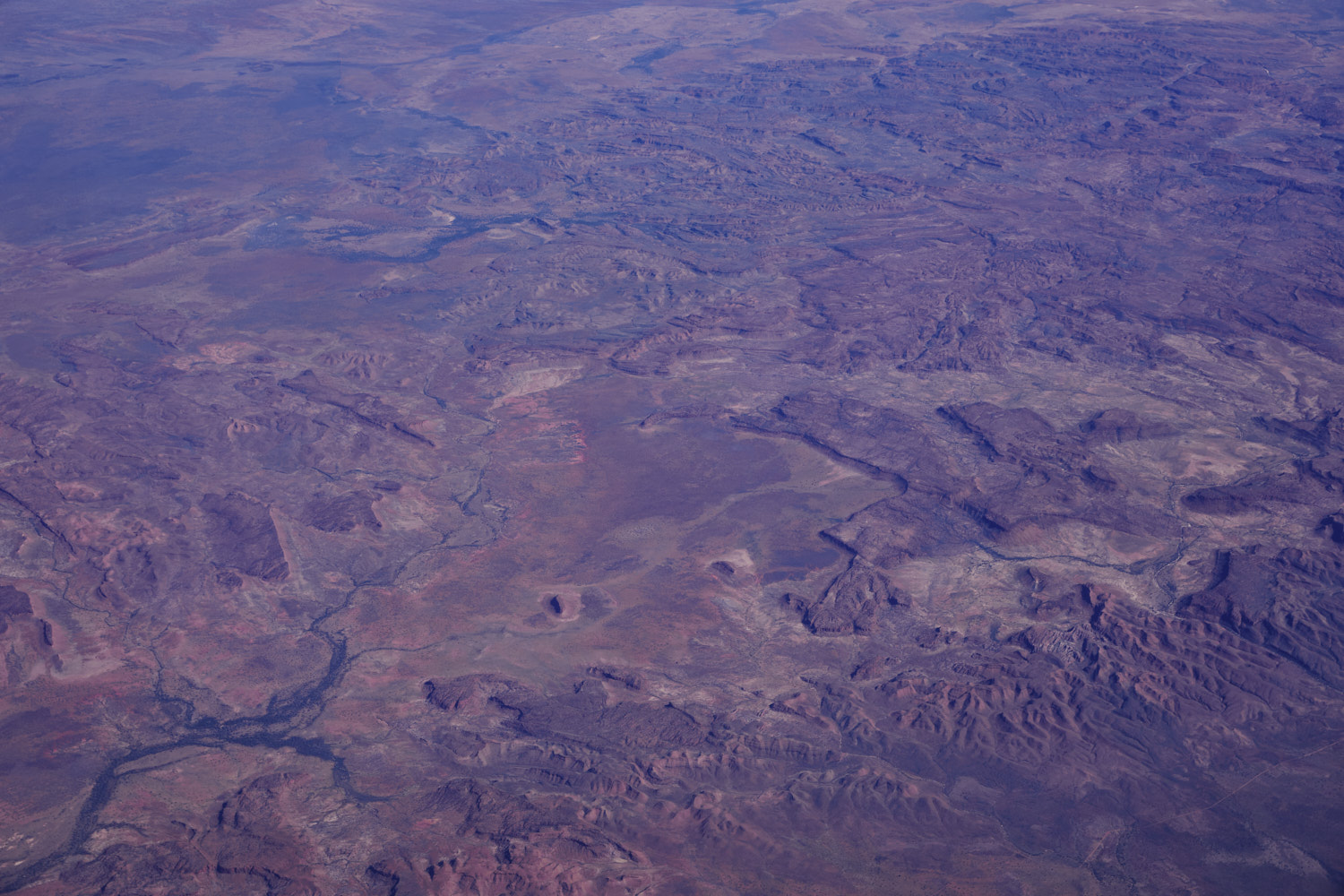 interestign shapes as well
 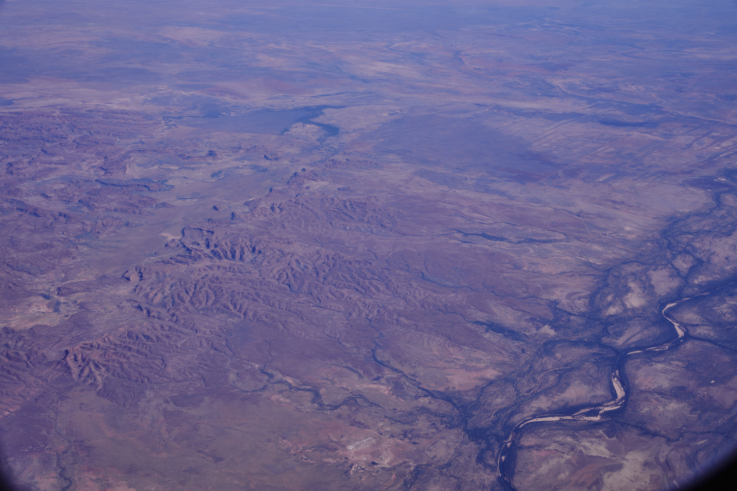 spot a few cattle stations along the Fitzroy River
 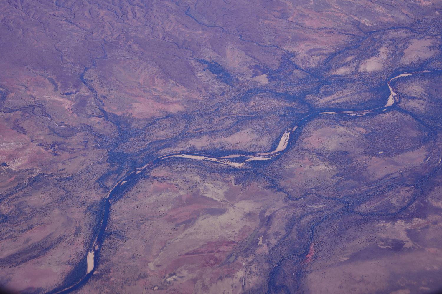 Fitzroy River
 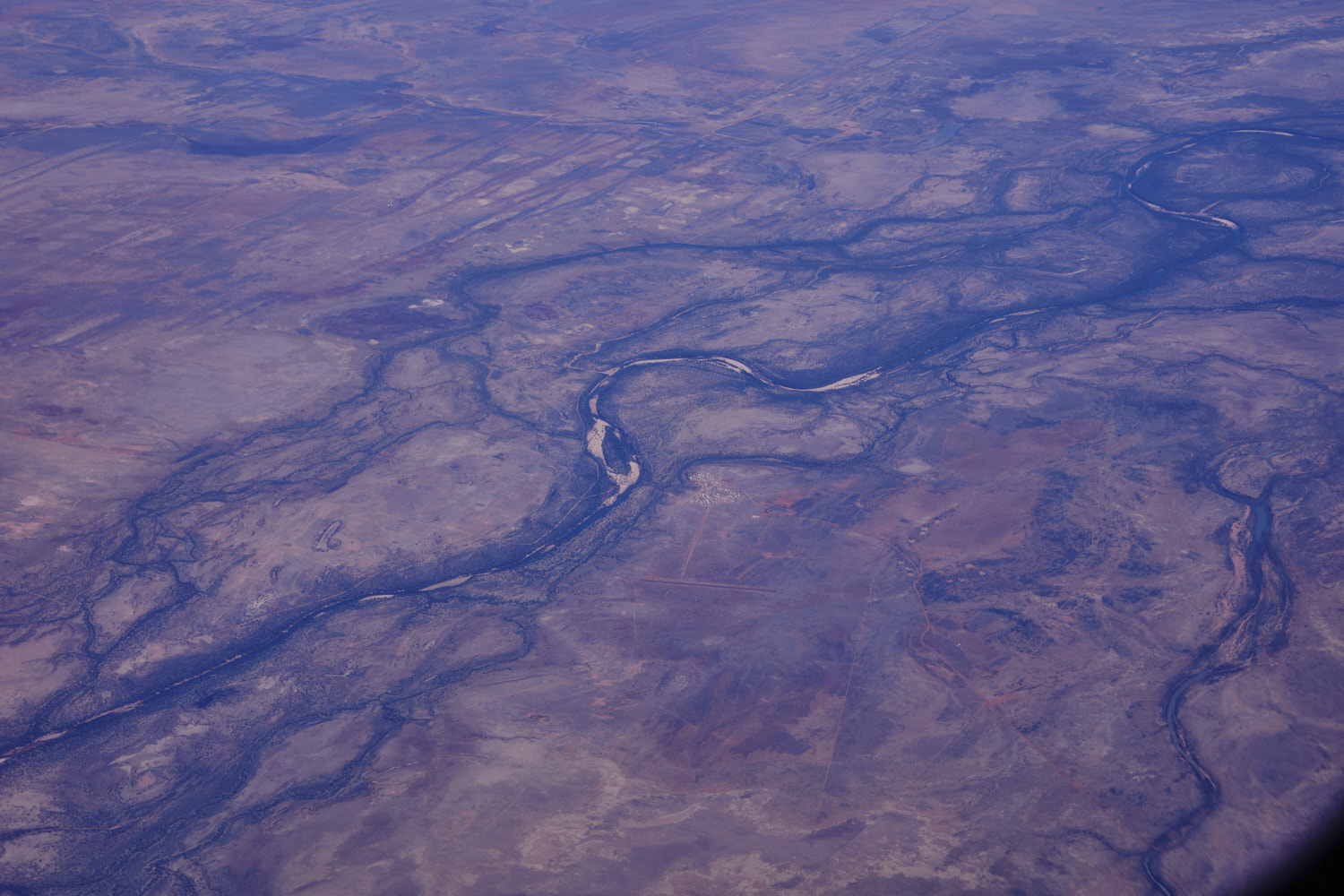 Yungngora
 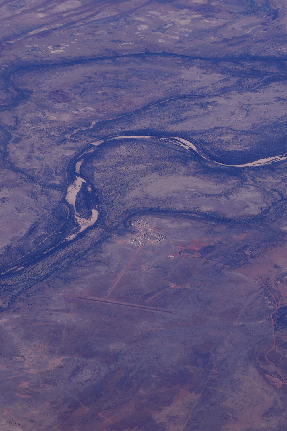 with airstrip
 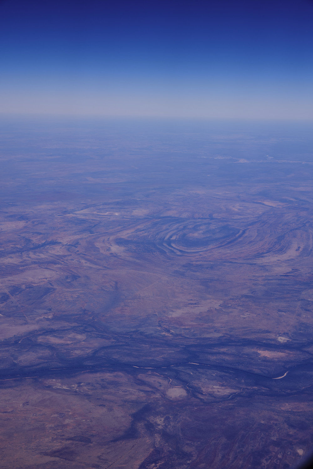 St Georges Ranges
 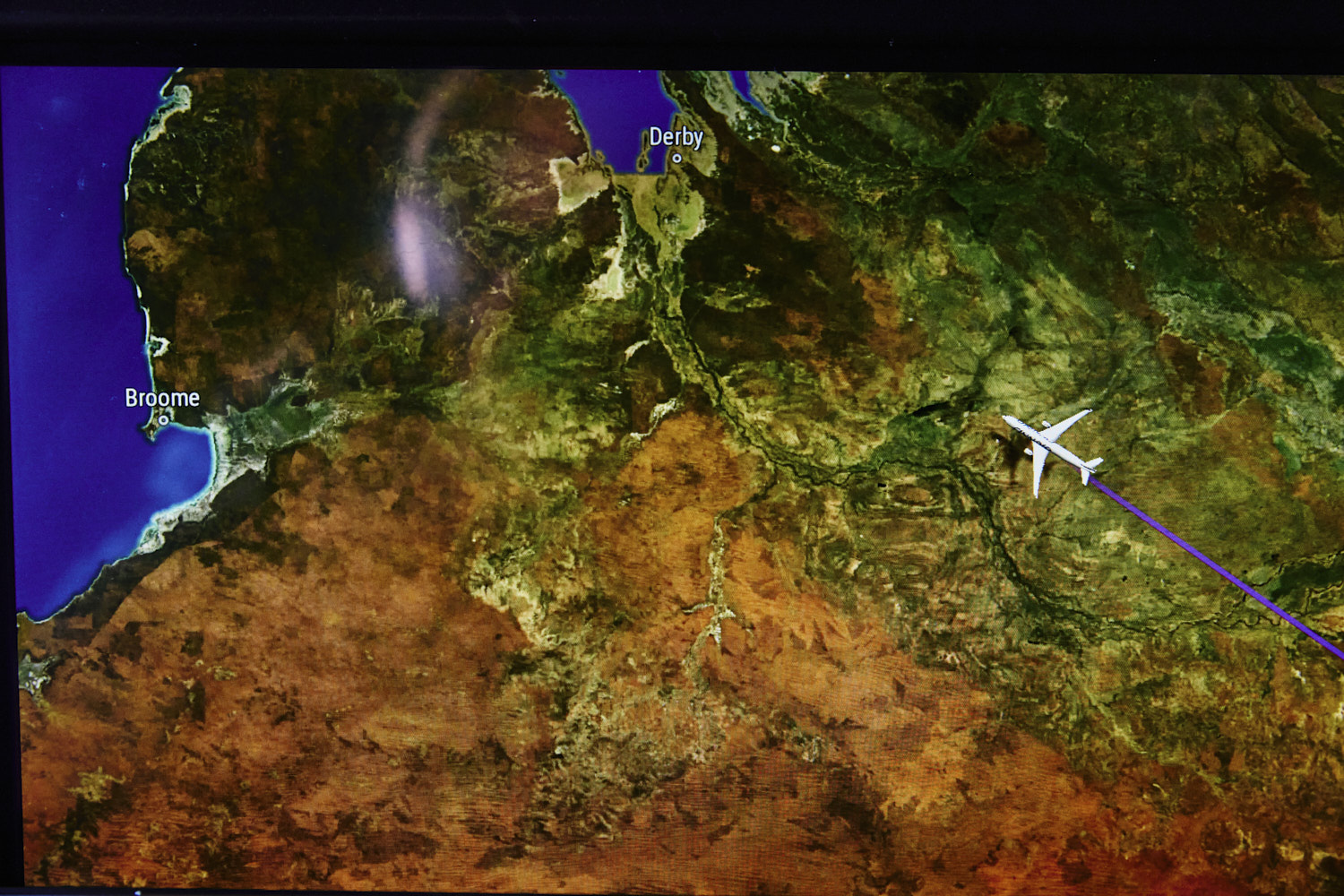 was hoping to get a glimpse of Broome, but like Ayers Rock earlier, we’ll be too far north
 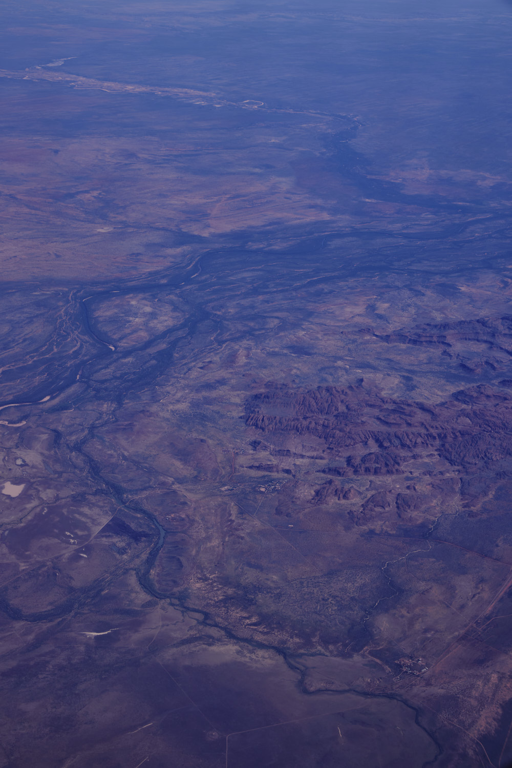 Looma and Upper Liveringa Pool
 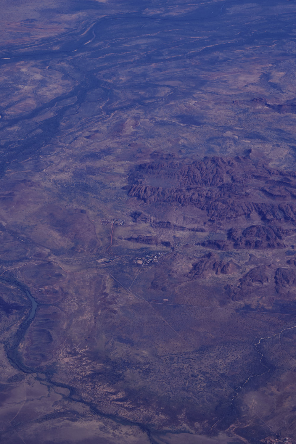 Kimberleys
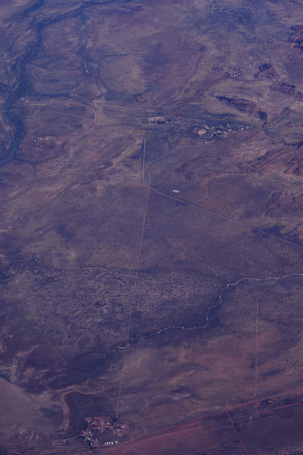 Camballin at the bottom
 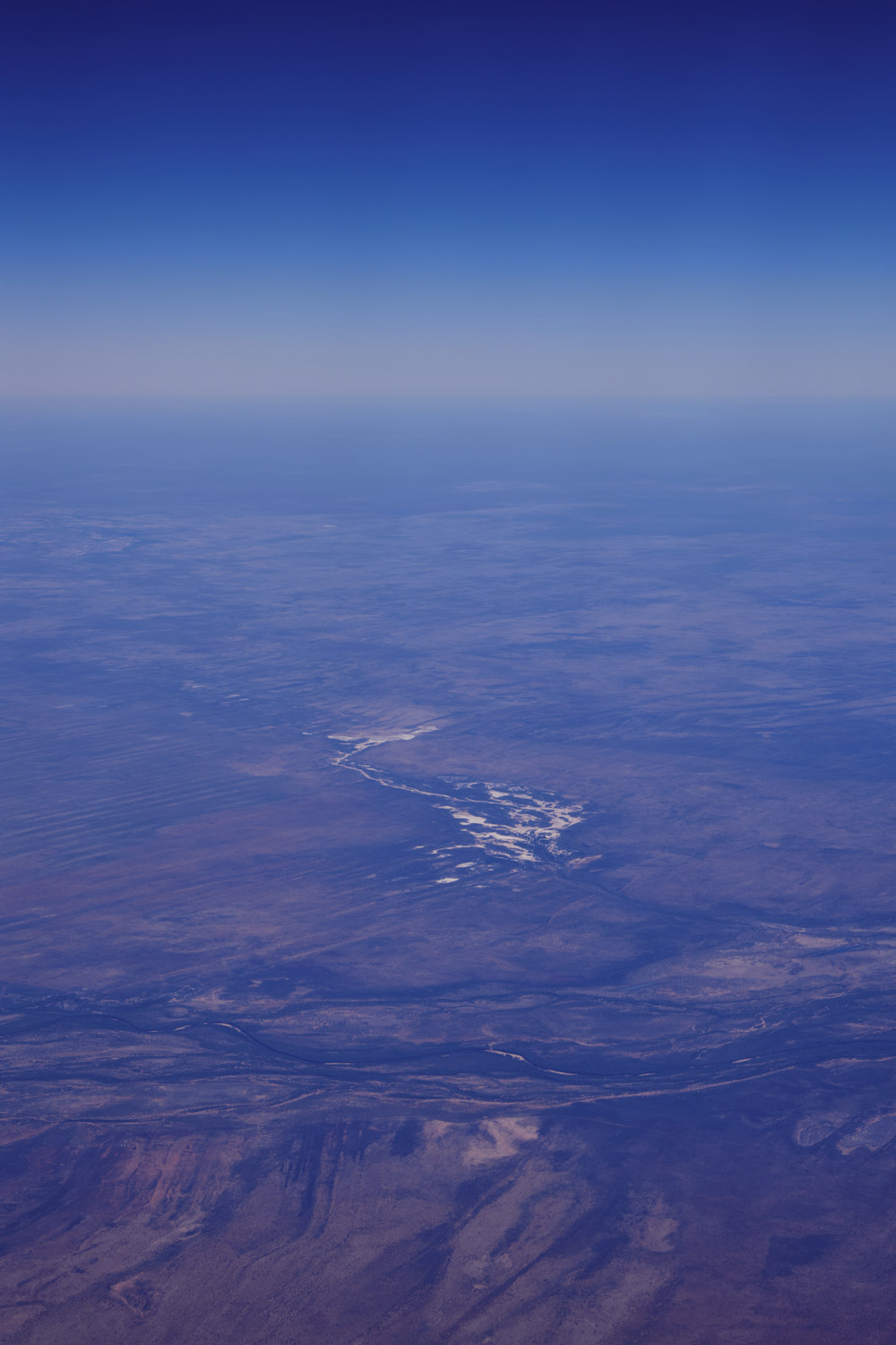 Fitzroy River
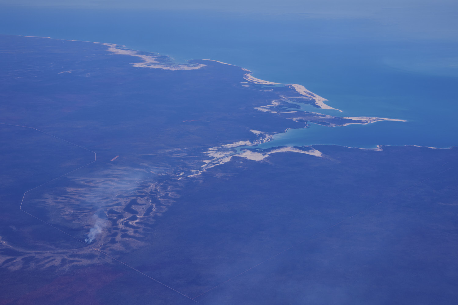
 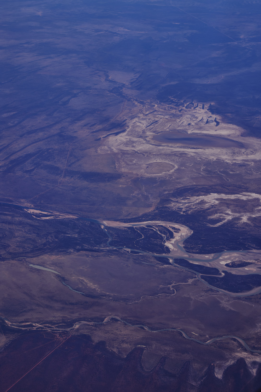 Fitzroy River about to flow into the ocean
 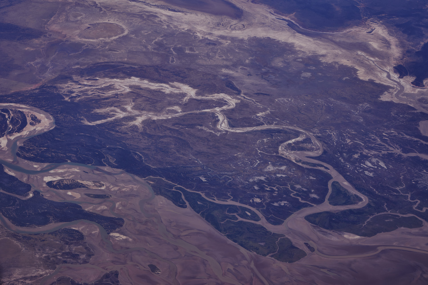 a lot of water flow now
 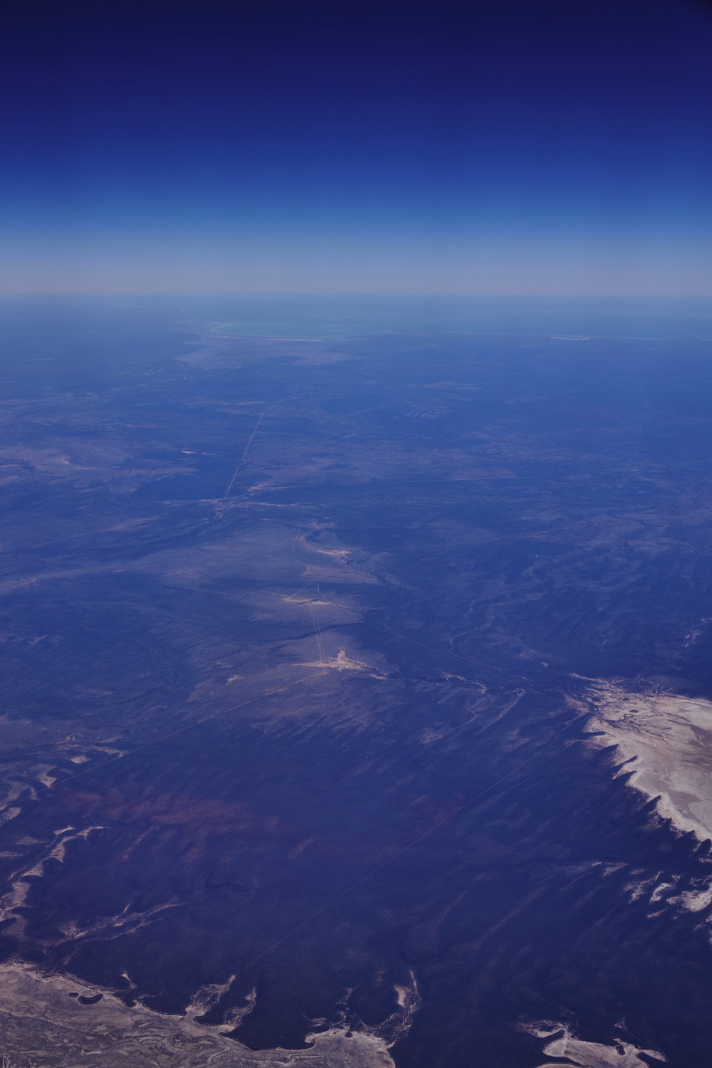 Fraser River
 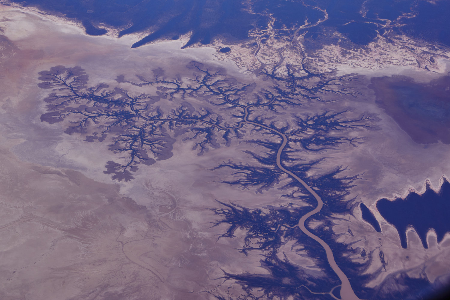 woauw
woauw 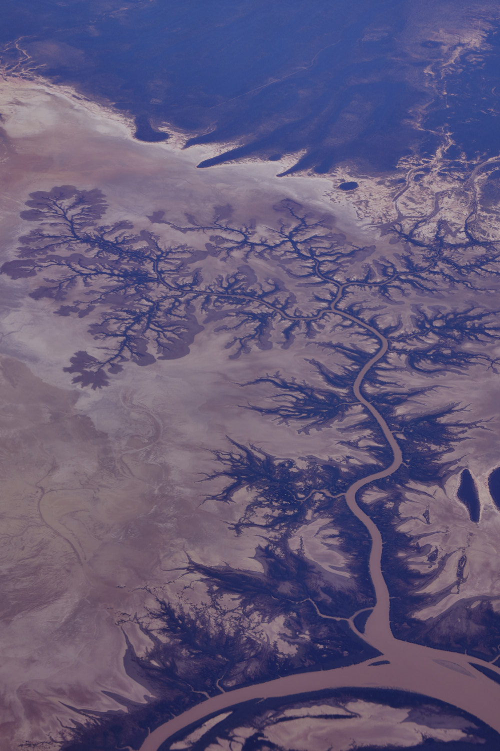 Like a plant
 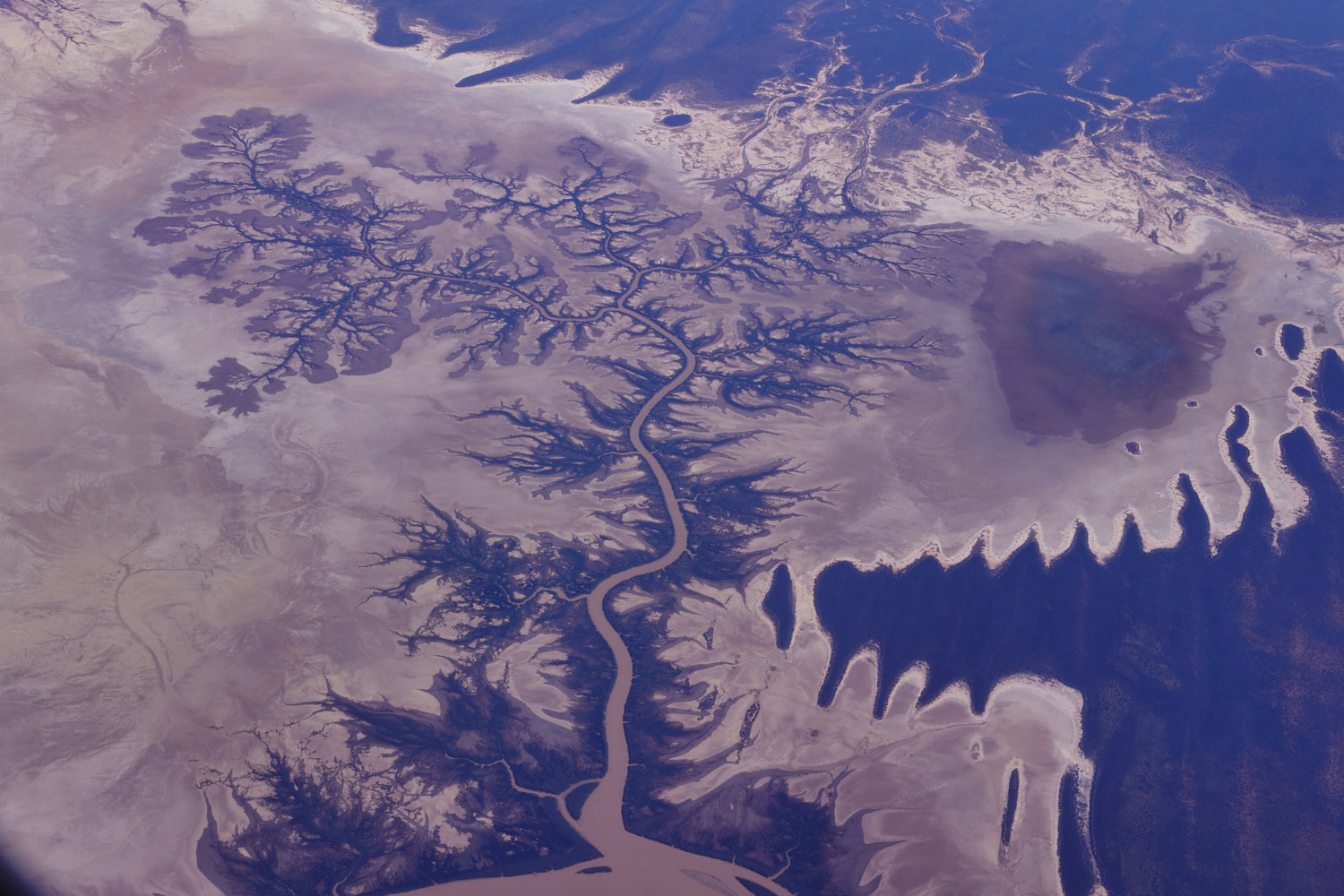 The Fraser flowing into Fitzroy
 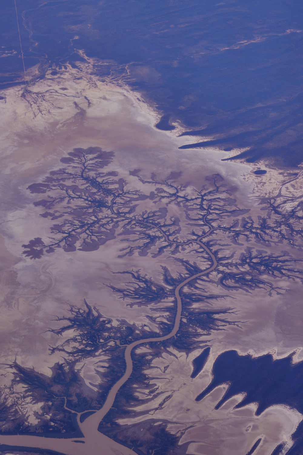 incredible
 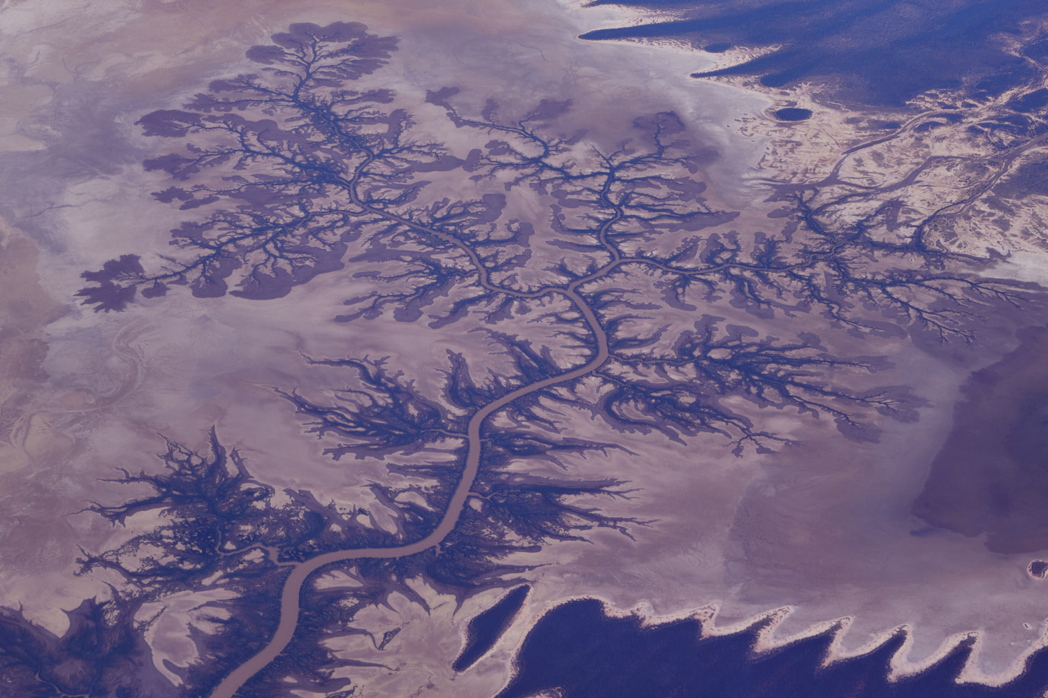 nature
 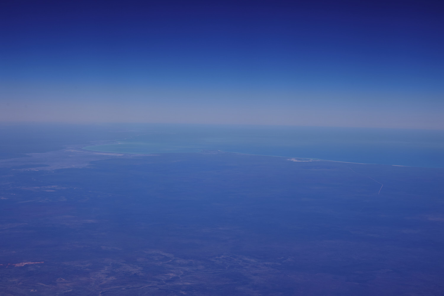 flying over the top of Derby and up in the middle can just make out the shape of Broome
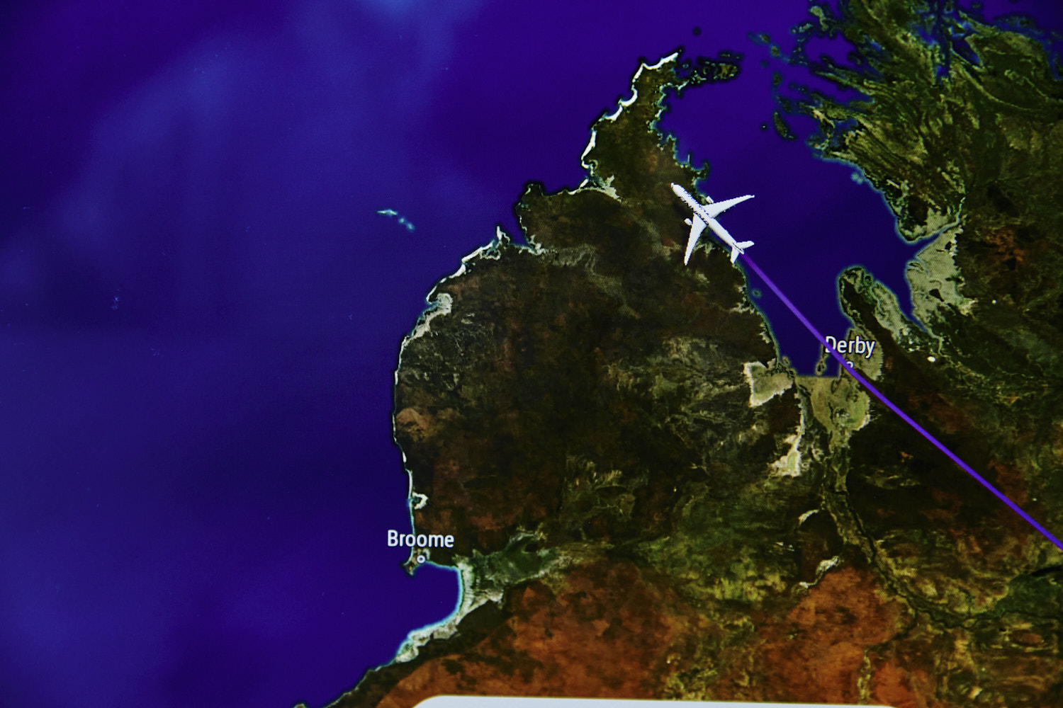
 Bobieding
 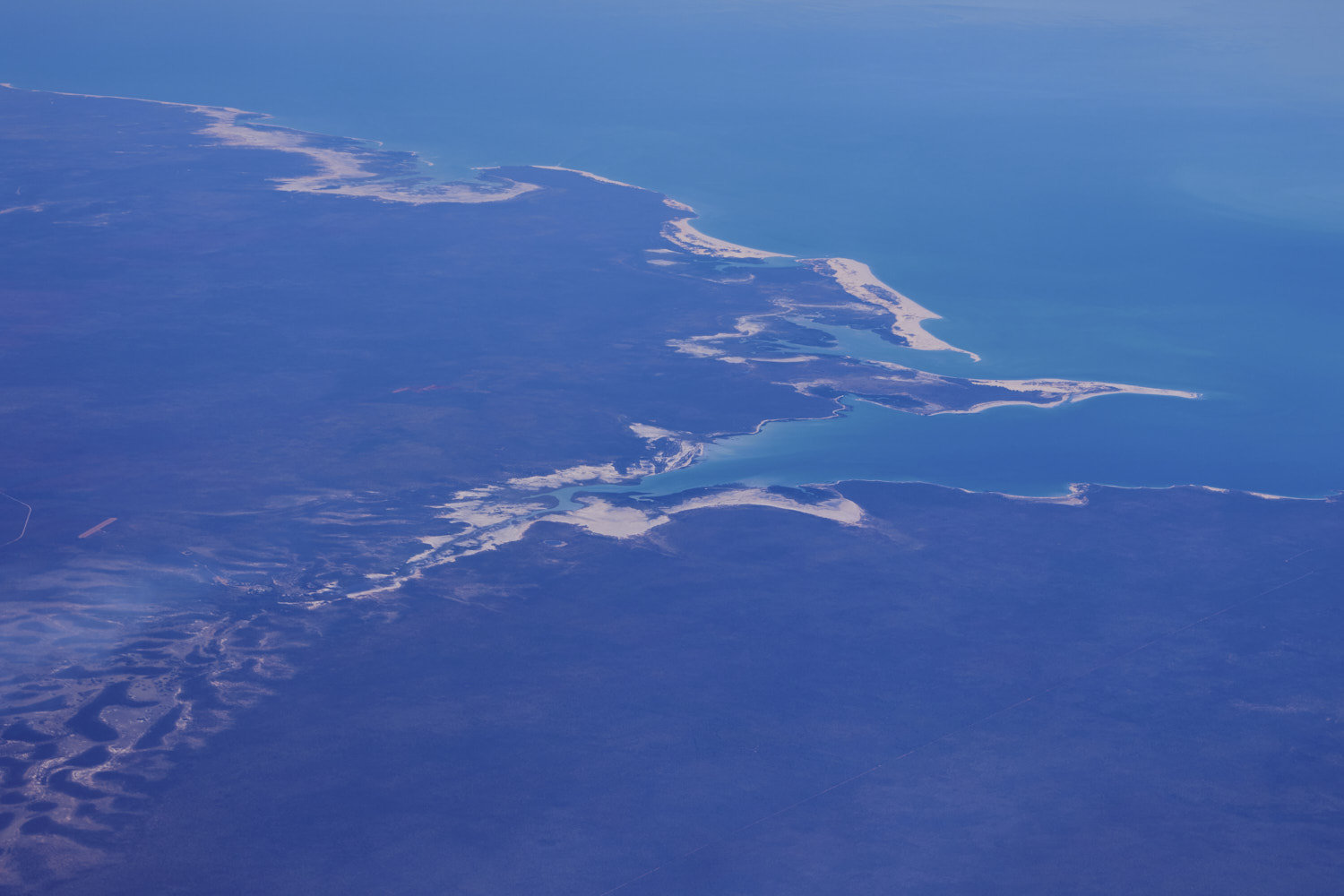 Coolomb Point Nature Reserve
 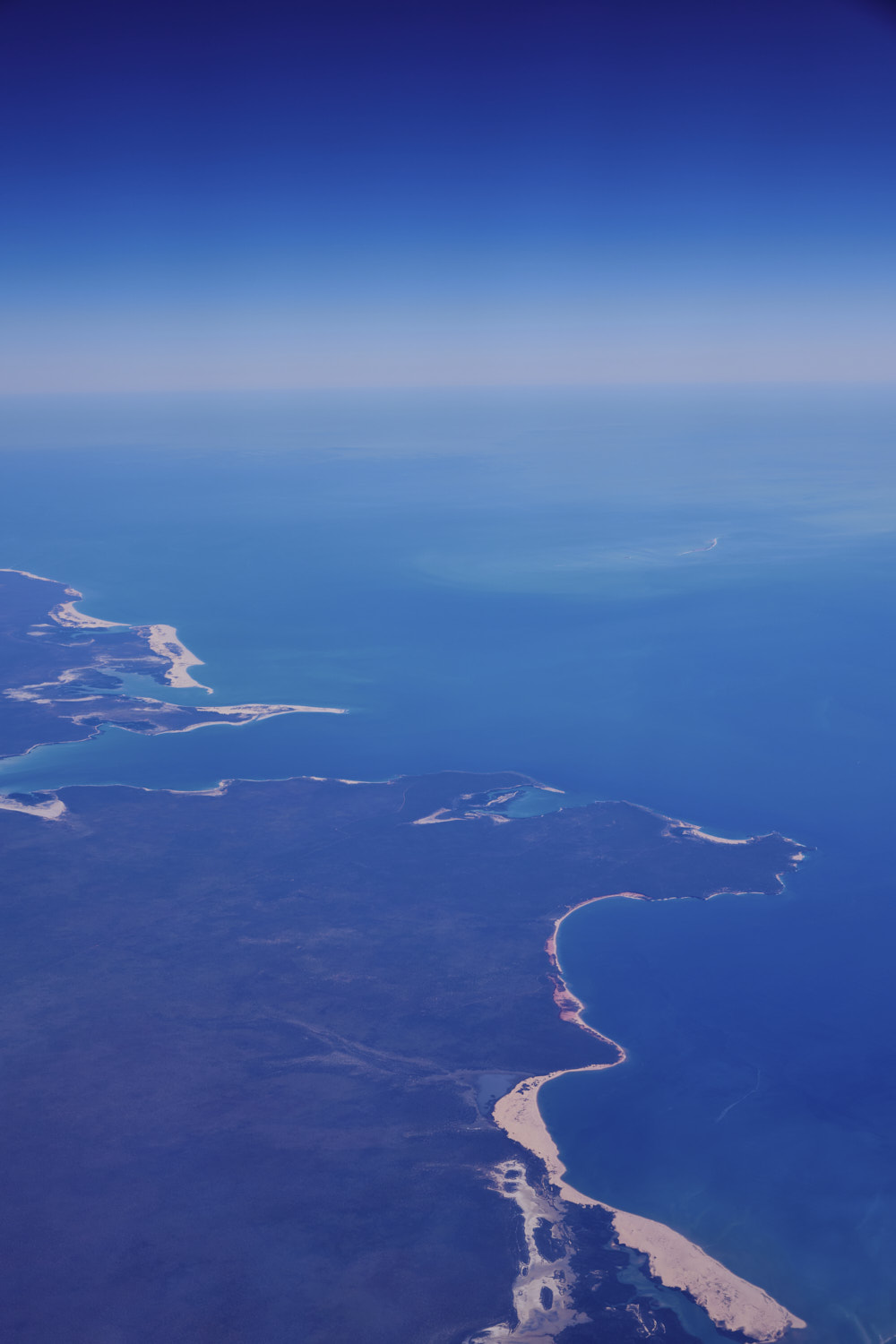 Dampier Peninsula
 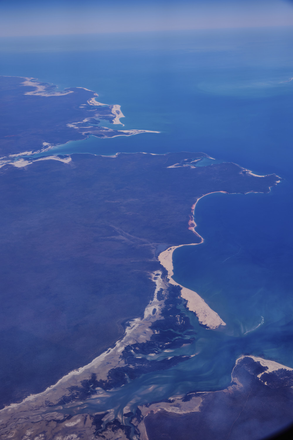 so pretty, and I guess inaccessibl
 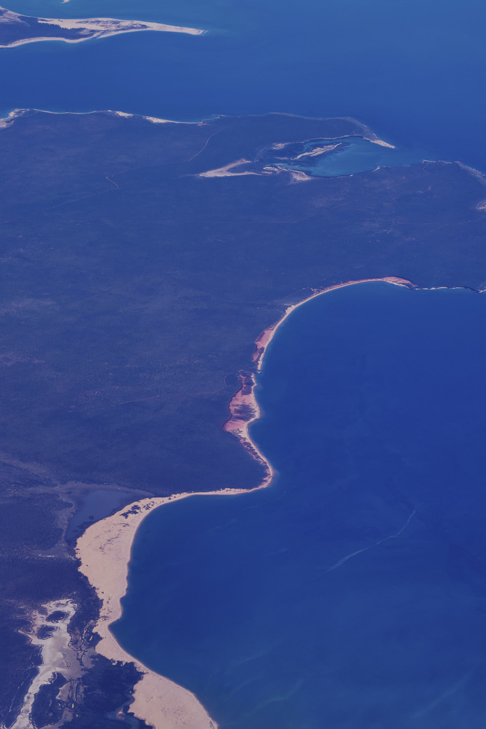 Pender Bay
 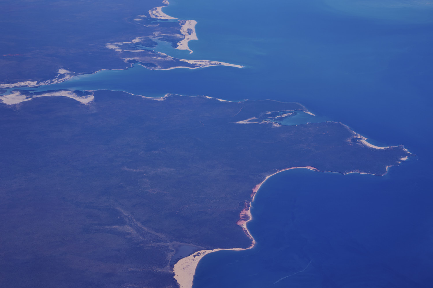 would love to walk along those beaches
 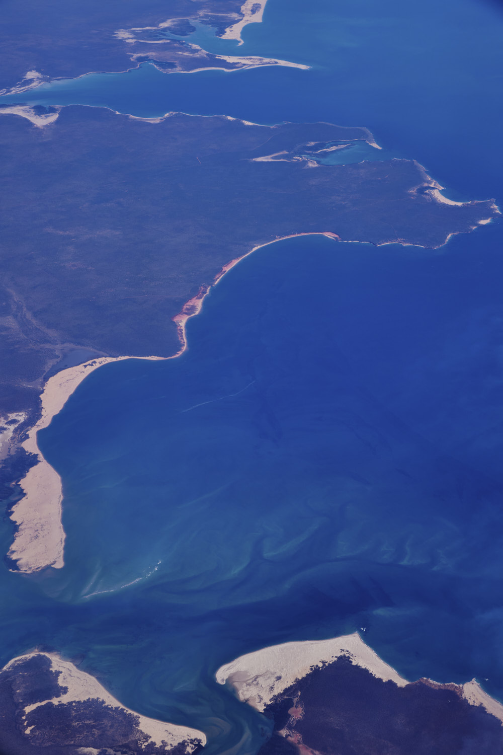 that sand spit
 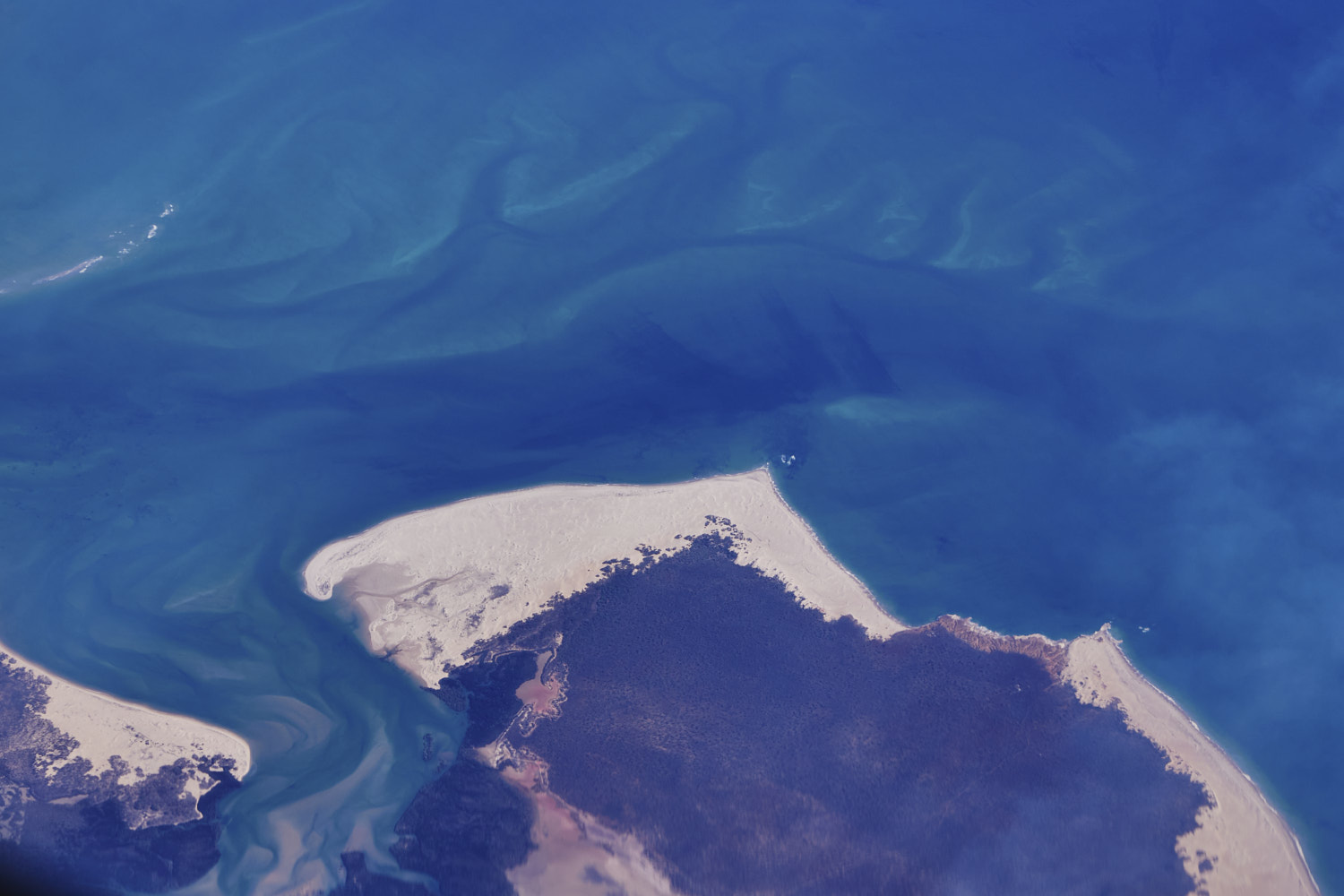 you can imagine how pretty it would be there, especially on sunset
 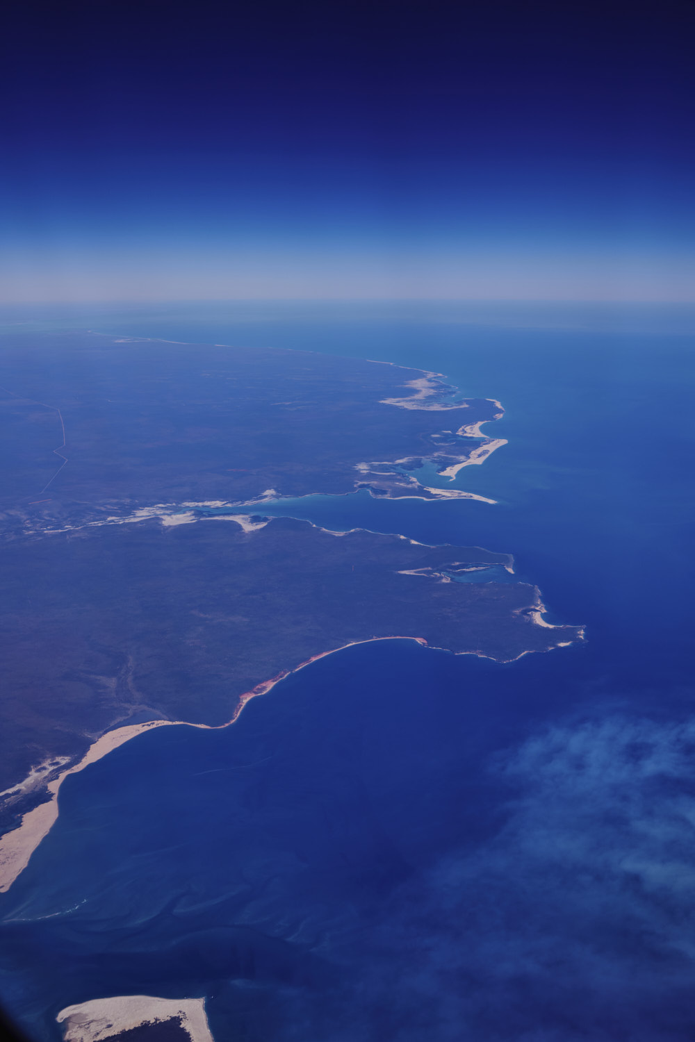 ok, Dampier Peninsula, say good bye to Australia
 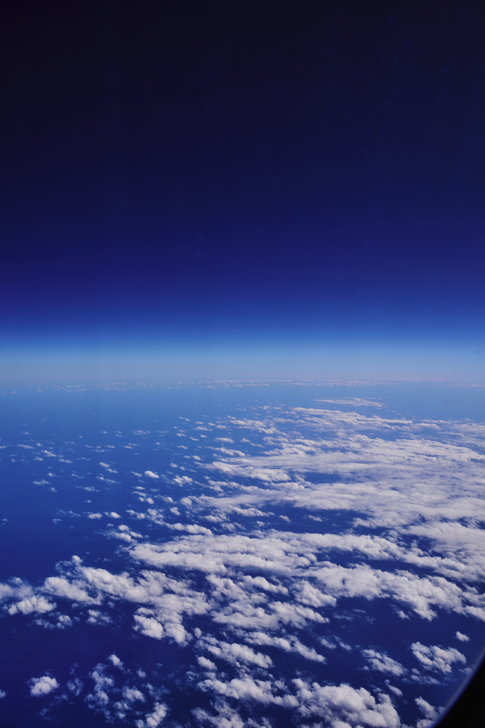 Indian Ocean
 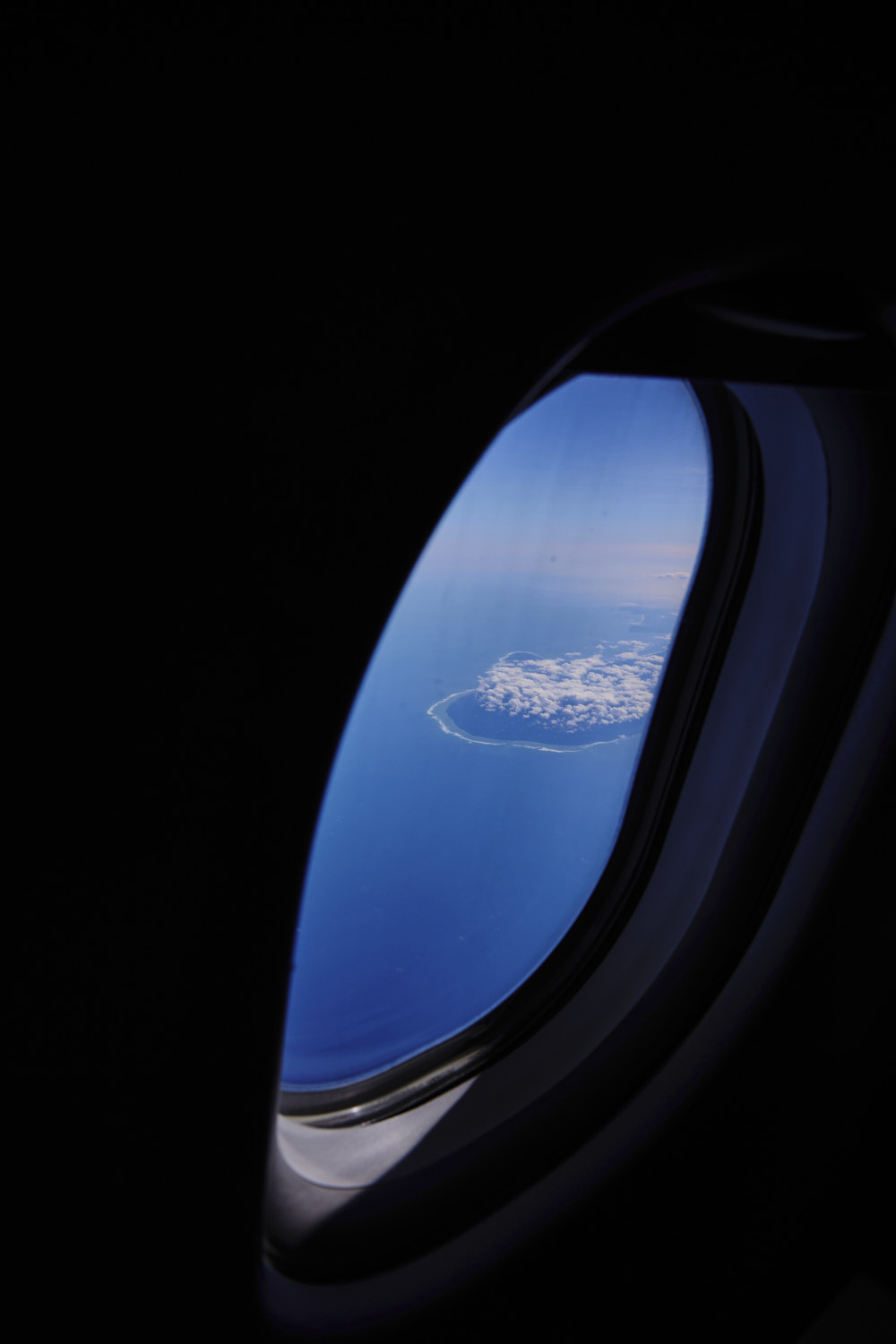 Indonesia spotted
 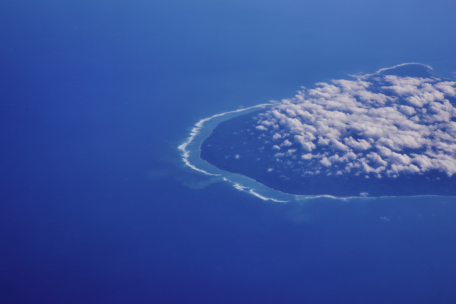 and check out the waves
 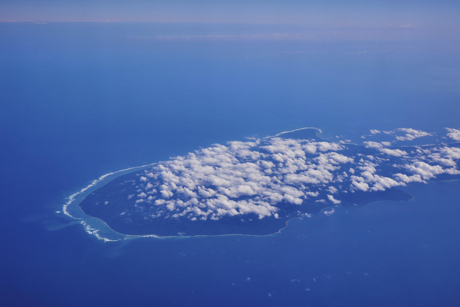 Plane had us tracking towards Bali so was expecting to see Uluwatu, but we fly directly over instead, so we are looking at Alas Purwo National park ( checks notes, wait..what )
 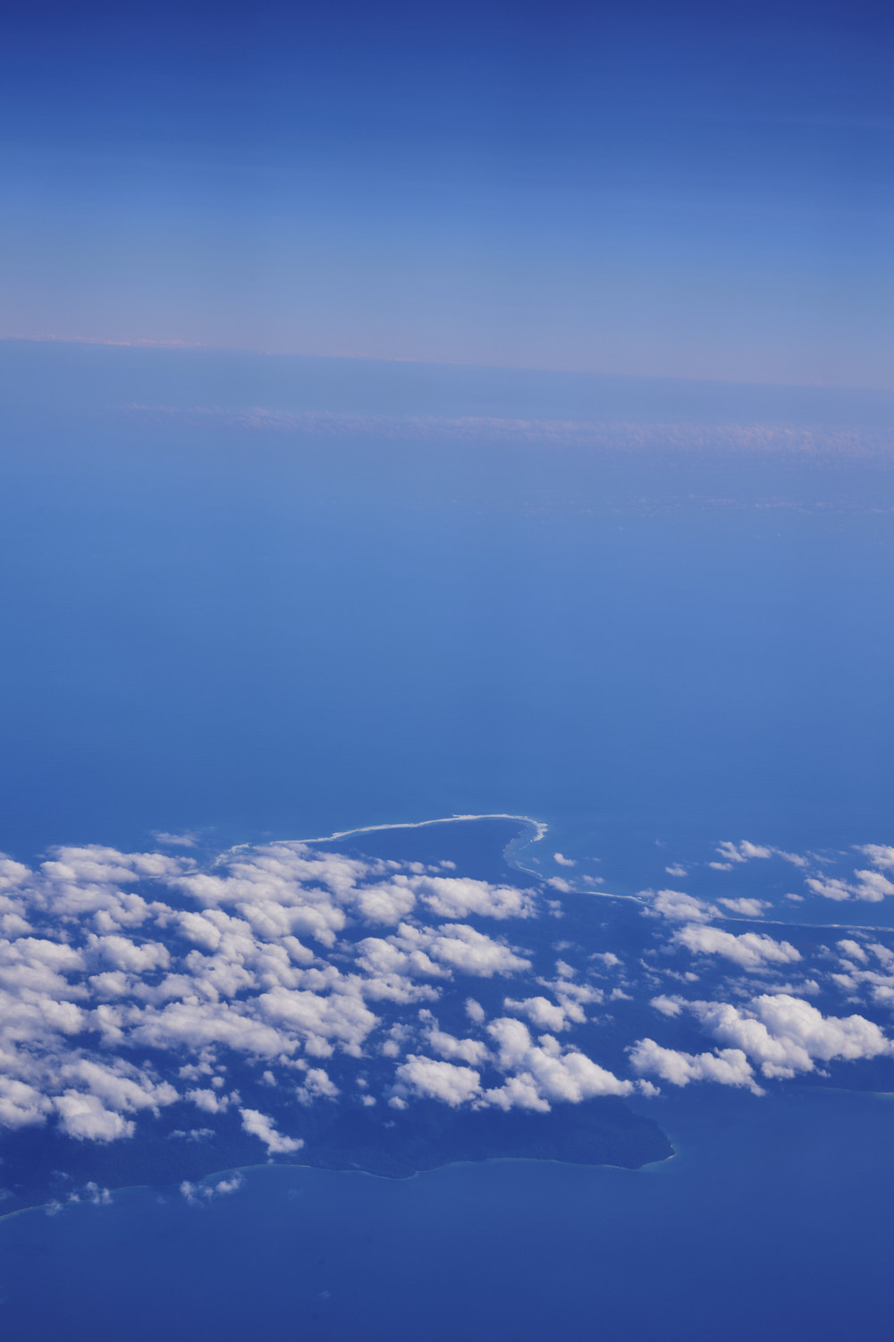 that’s G-Land !!!
 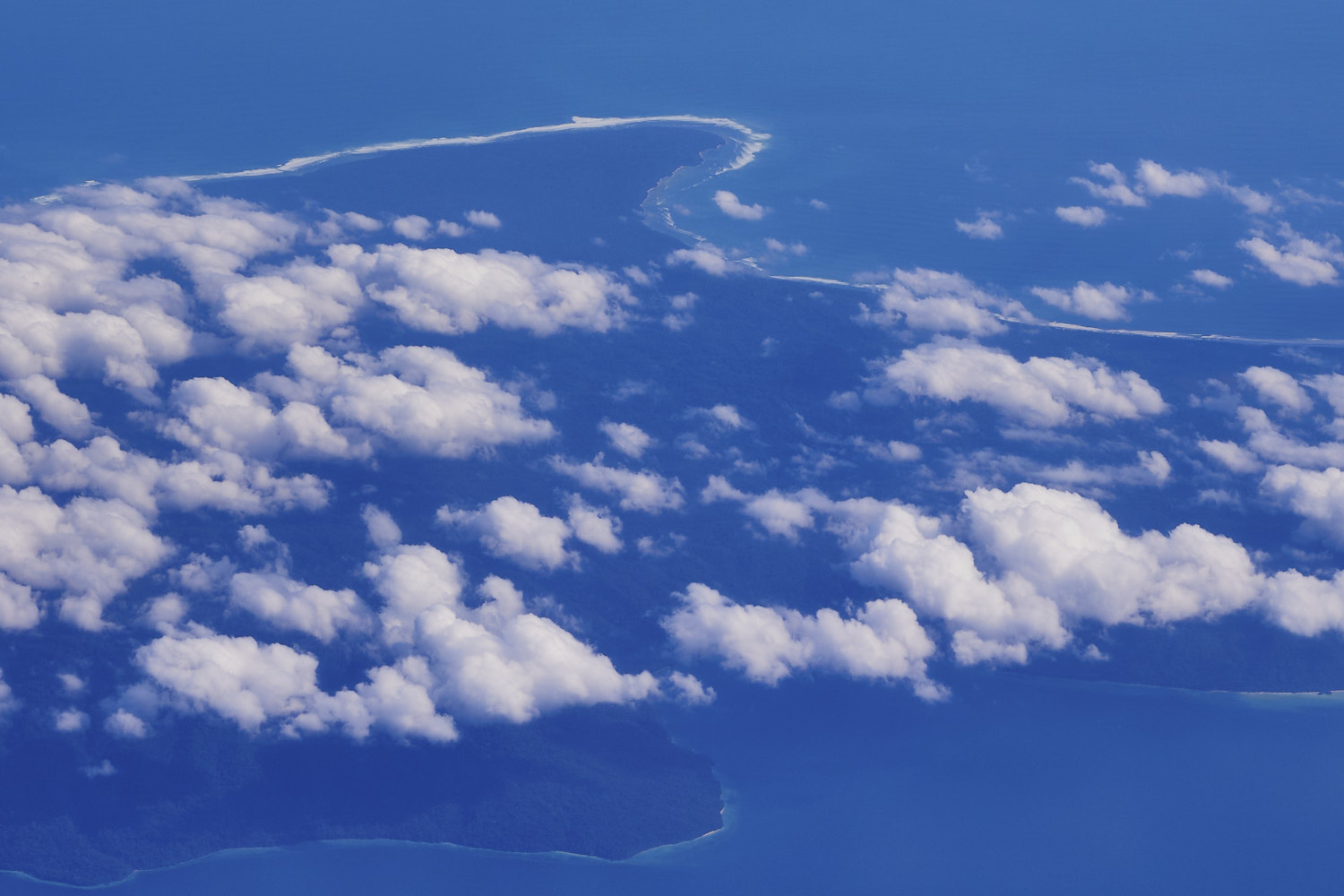 famous left hand remote point break
 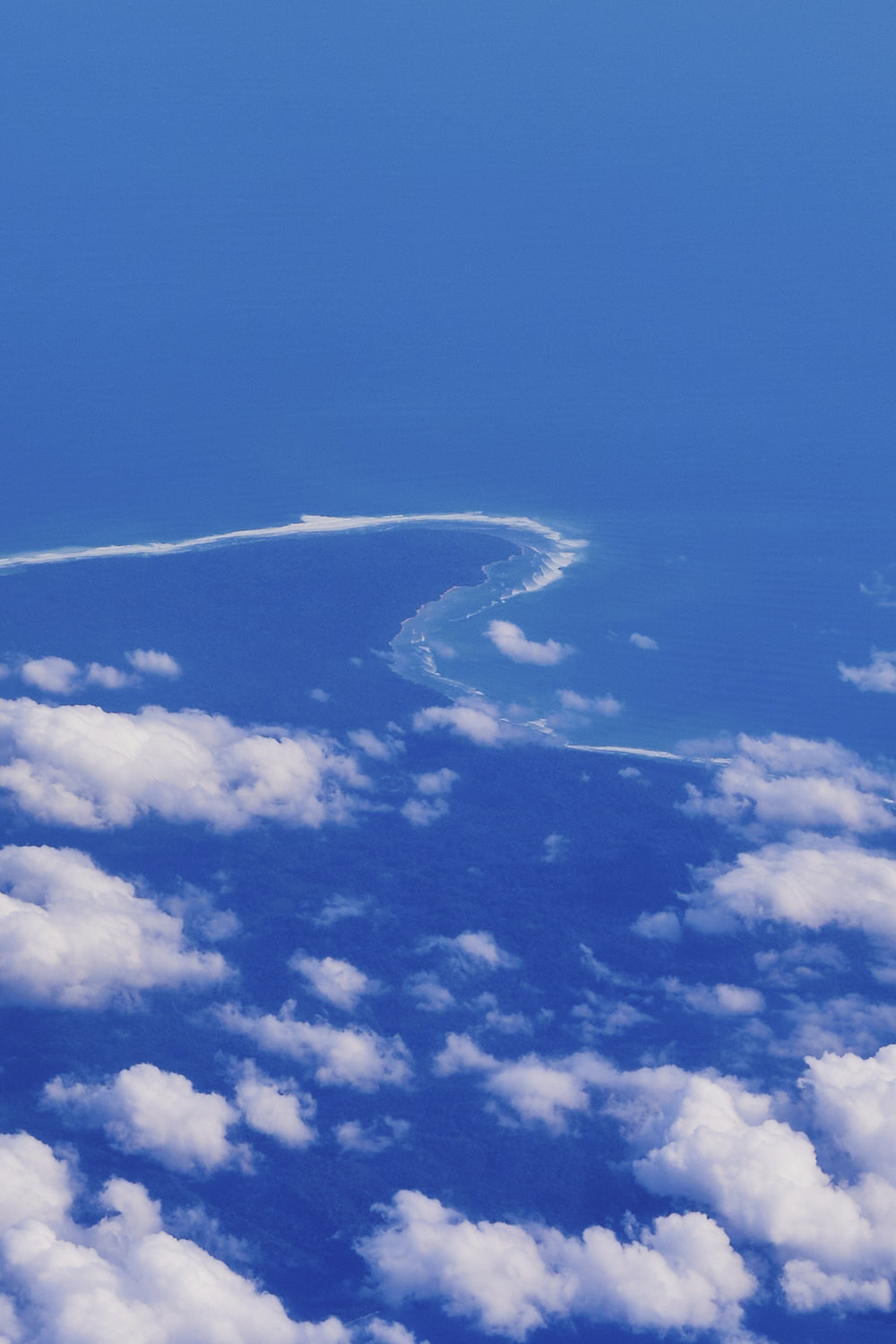 check those lines peeling off the point
 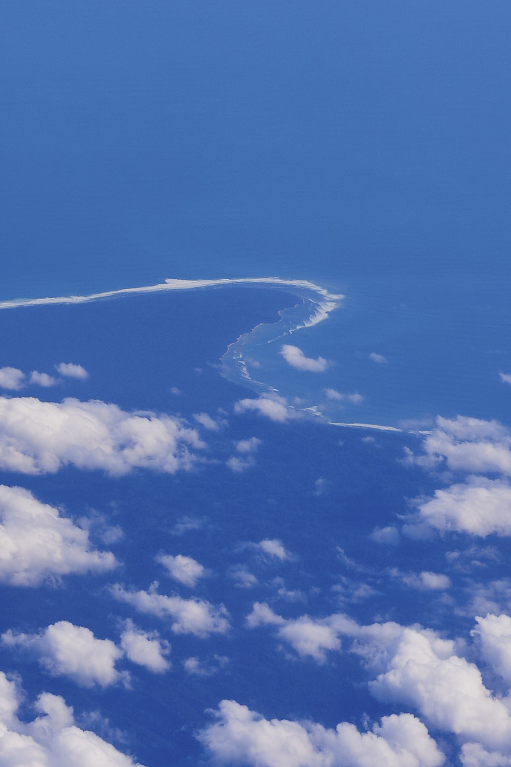 left hander heaven
 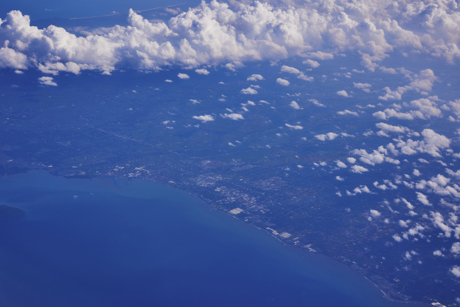 Muntjar
 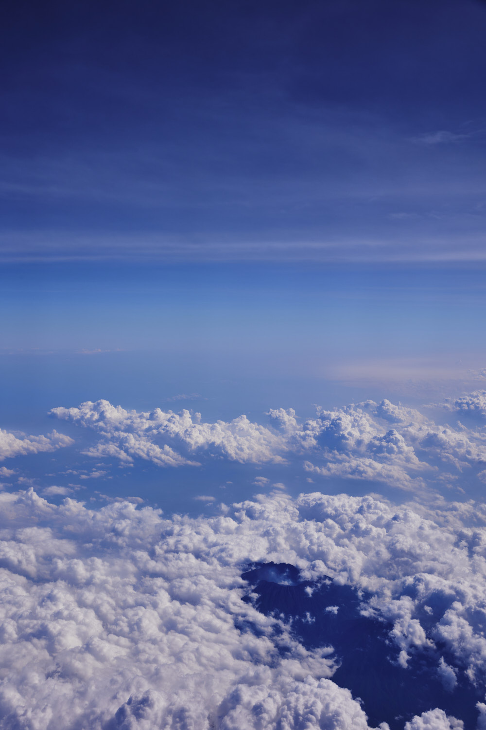 oh woauw
 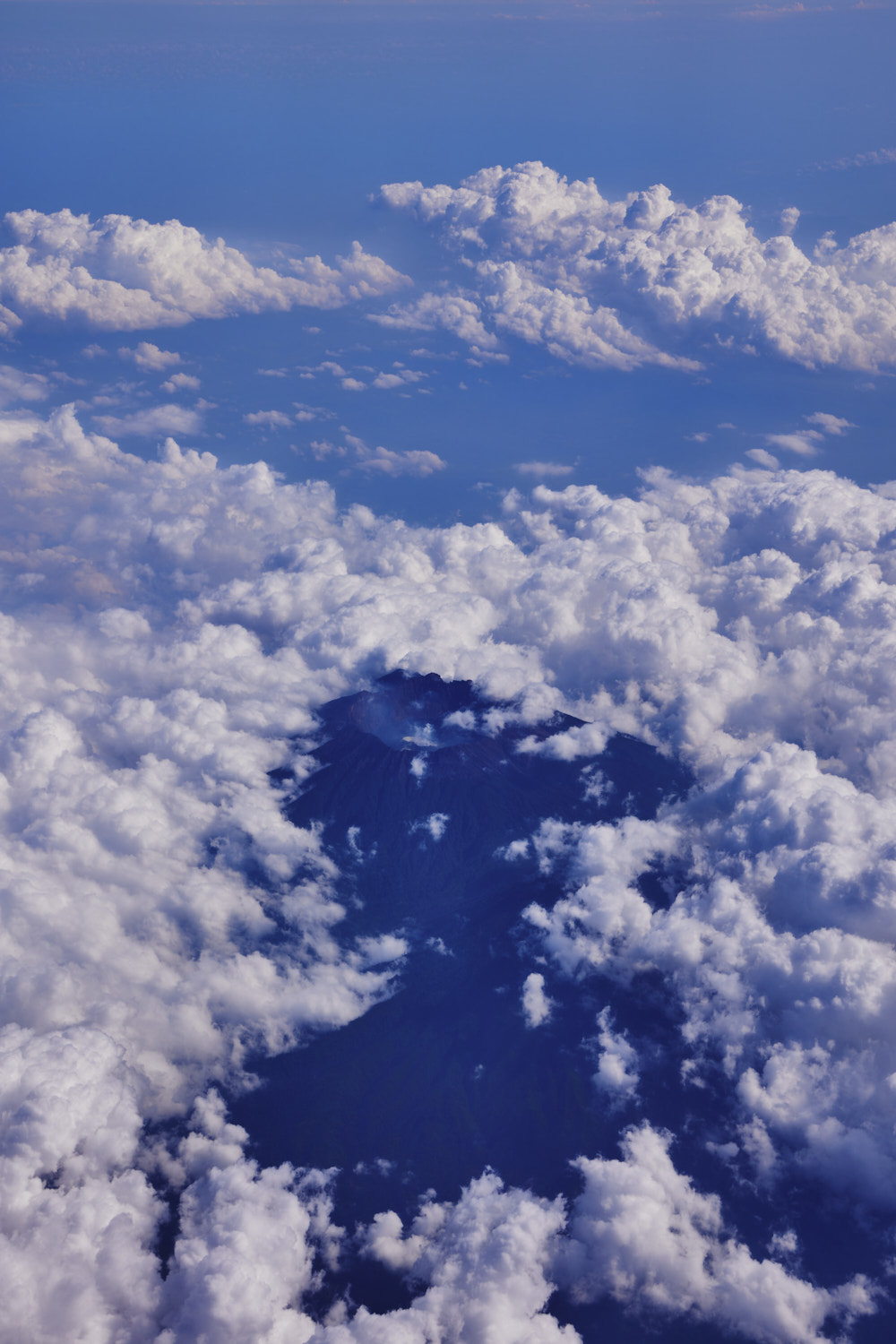 Volcano, Mount Raung, an active volcano
 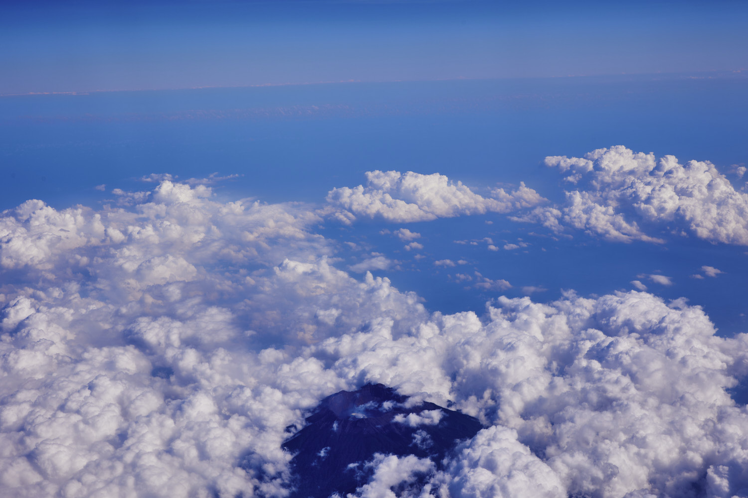 must be tall, as there are several volcanoes on Java, and this one is poking through the clouds
 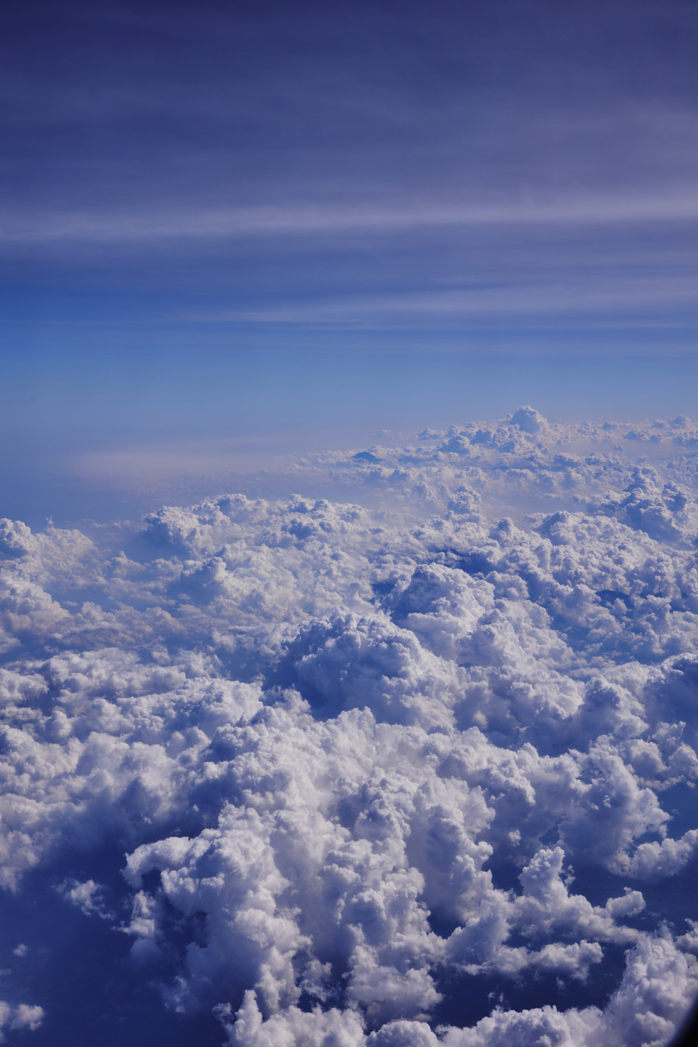 East Java
 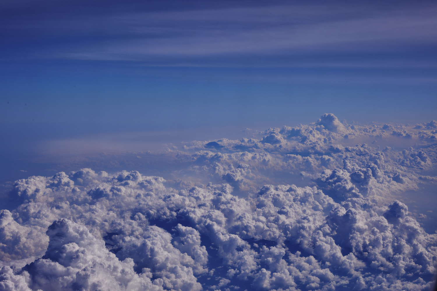 another one, Semeru ?
 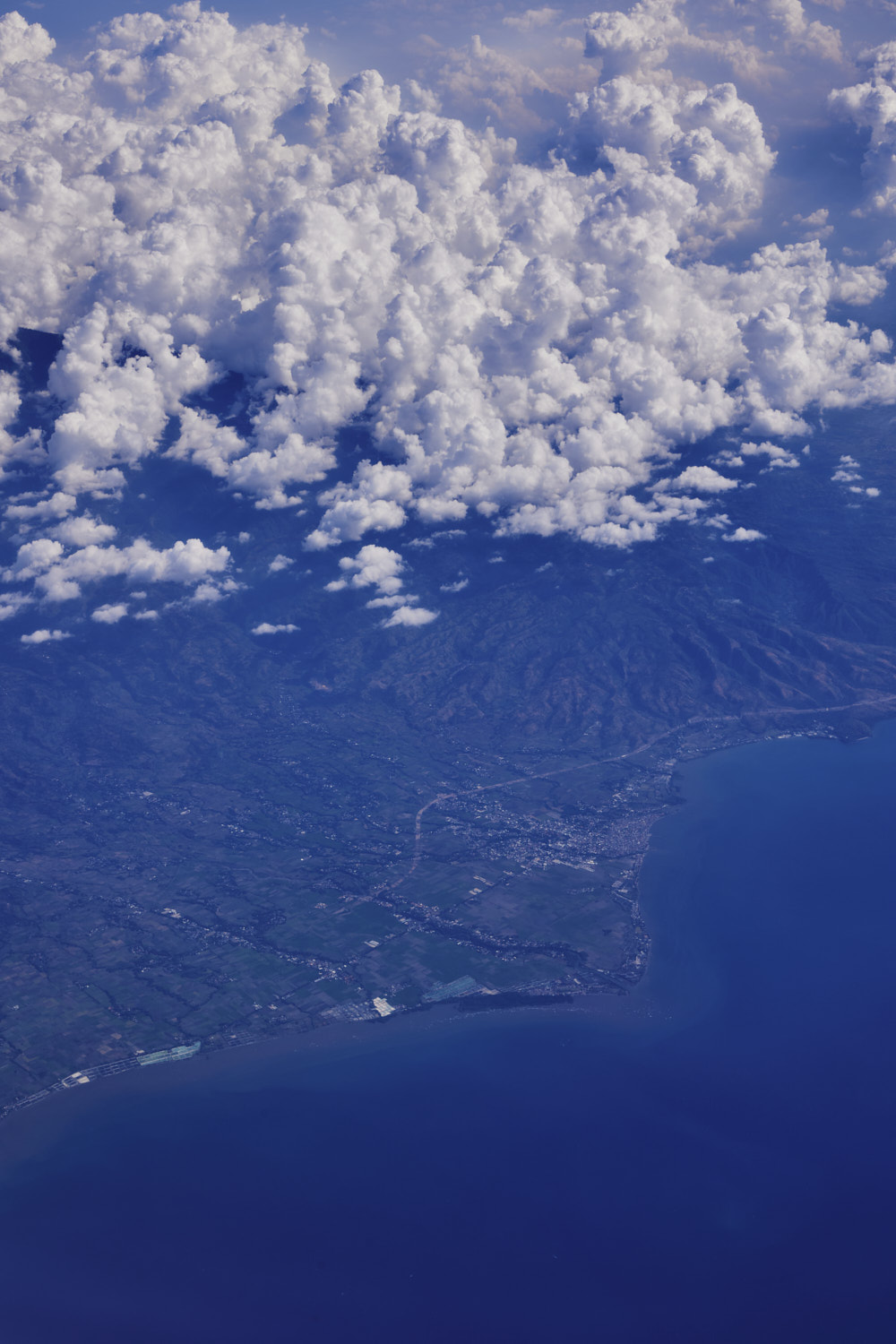 Besuki
 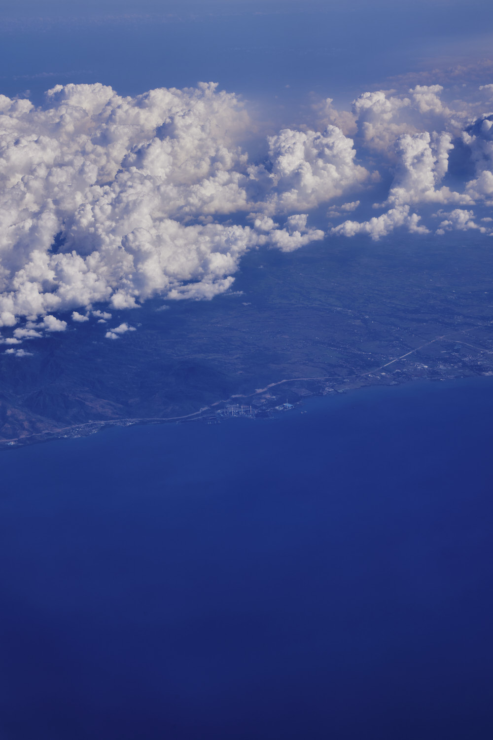 Utama Raya Beach
 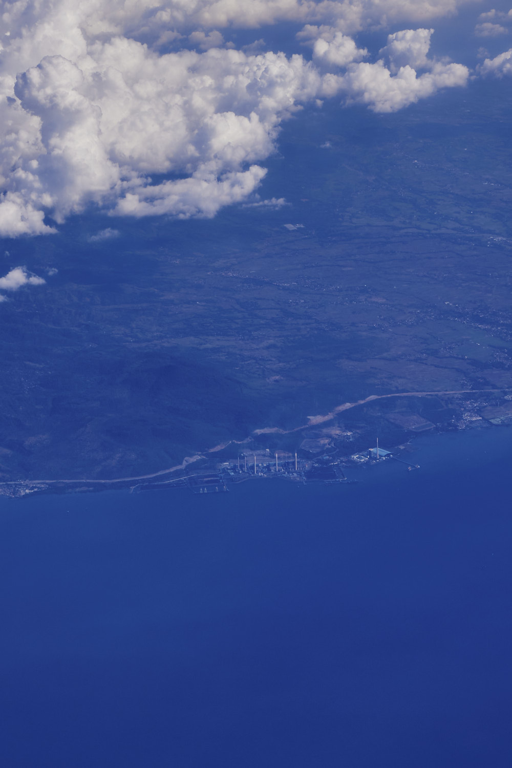 and power plant
 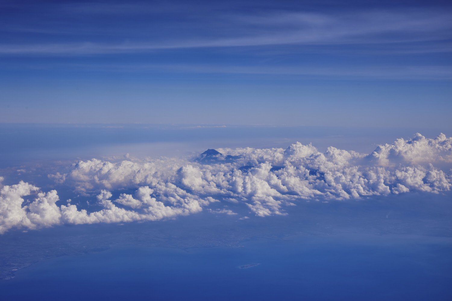 Semeru
 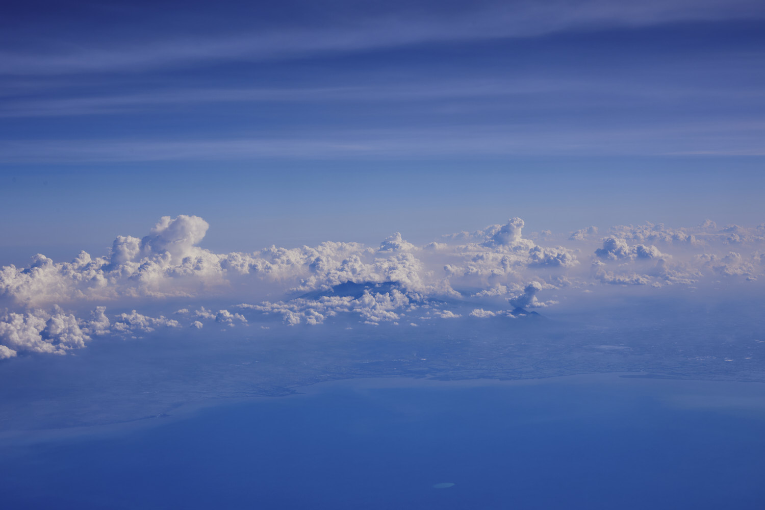 Gunung Arjuna
 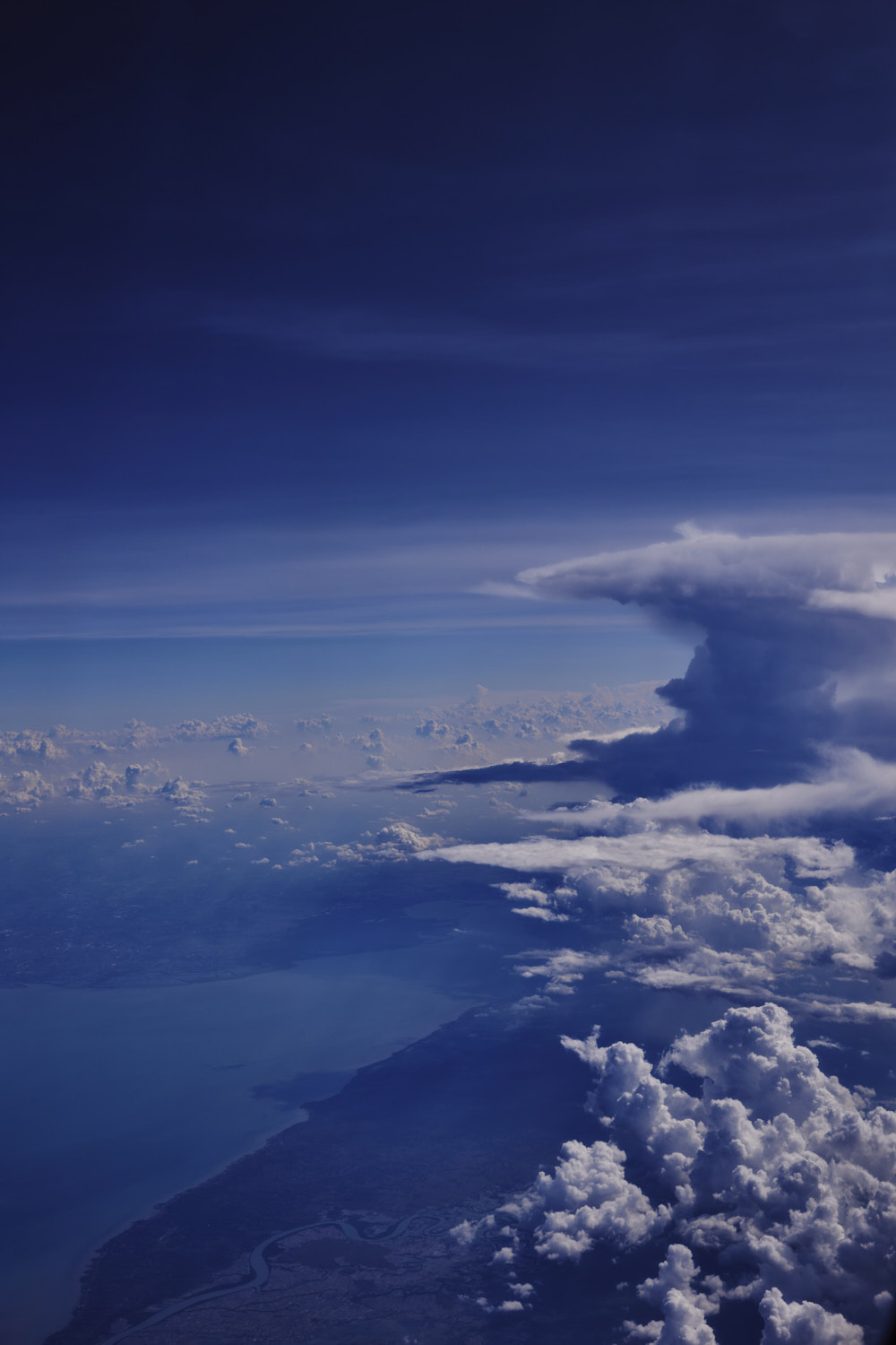 Surabaya, about to get dumped on
 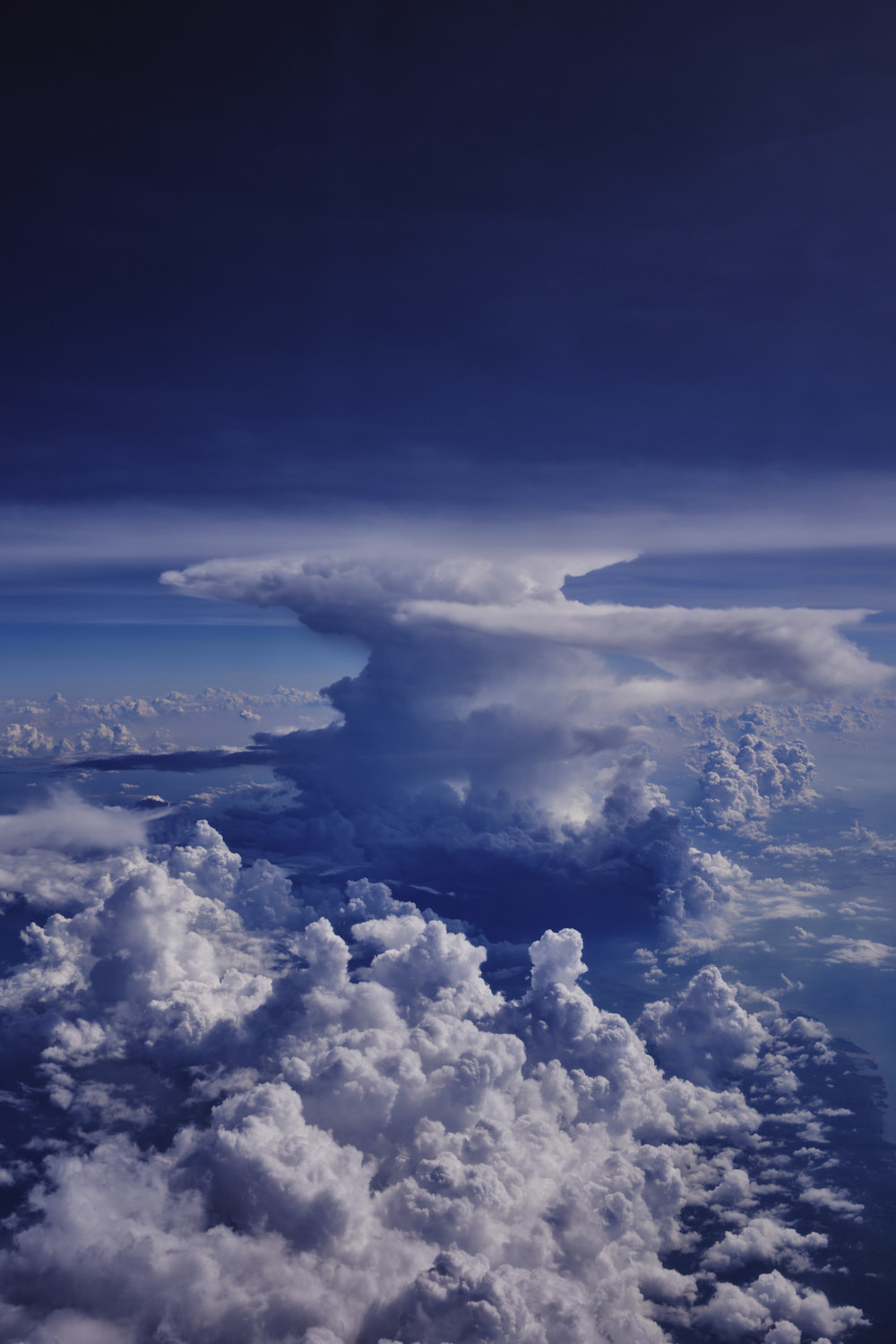 big tropical storm cell
 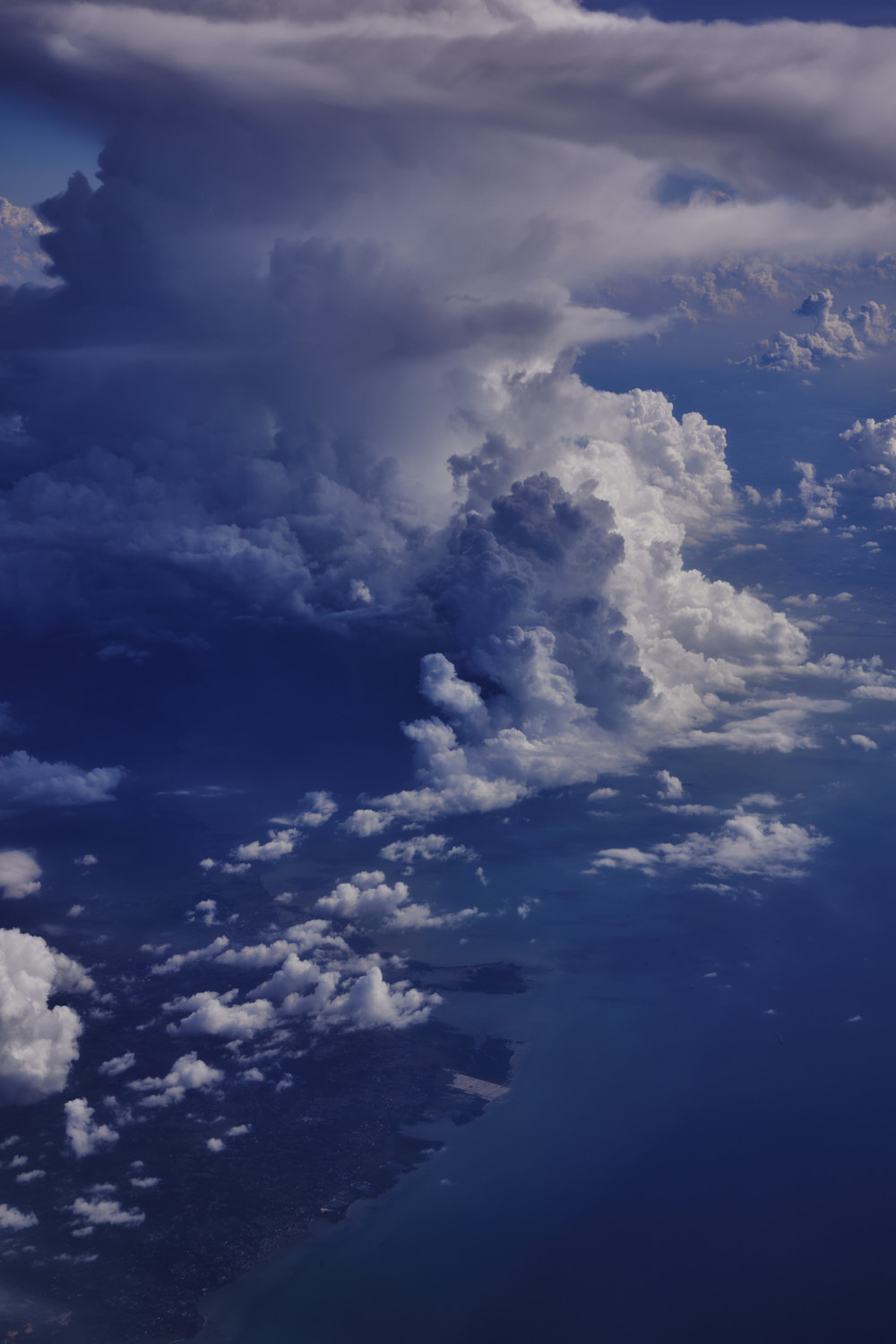 Intense
 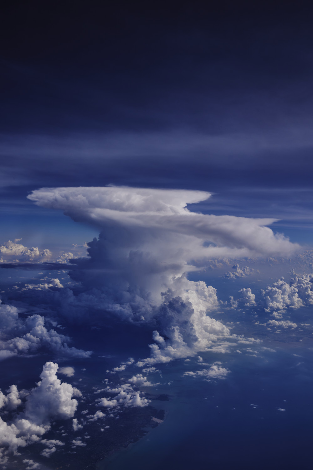 right on top of Lamongan, East Java
 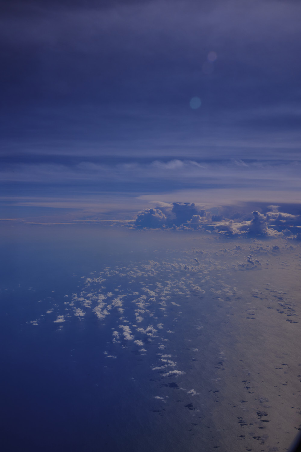 Java Sea
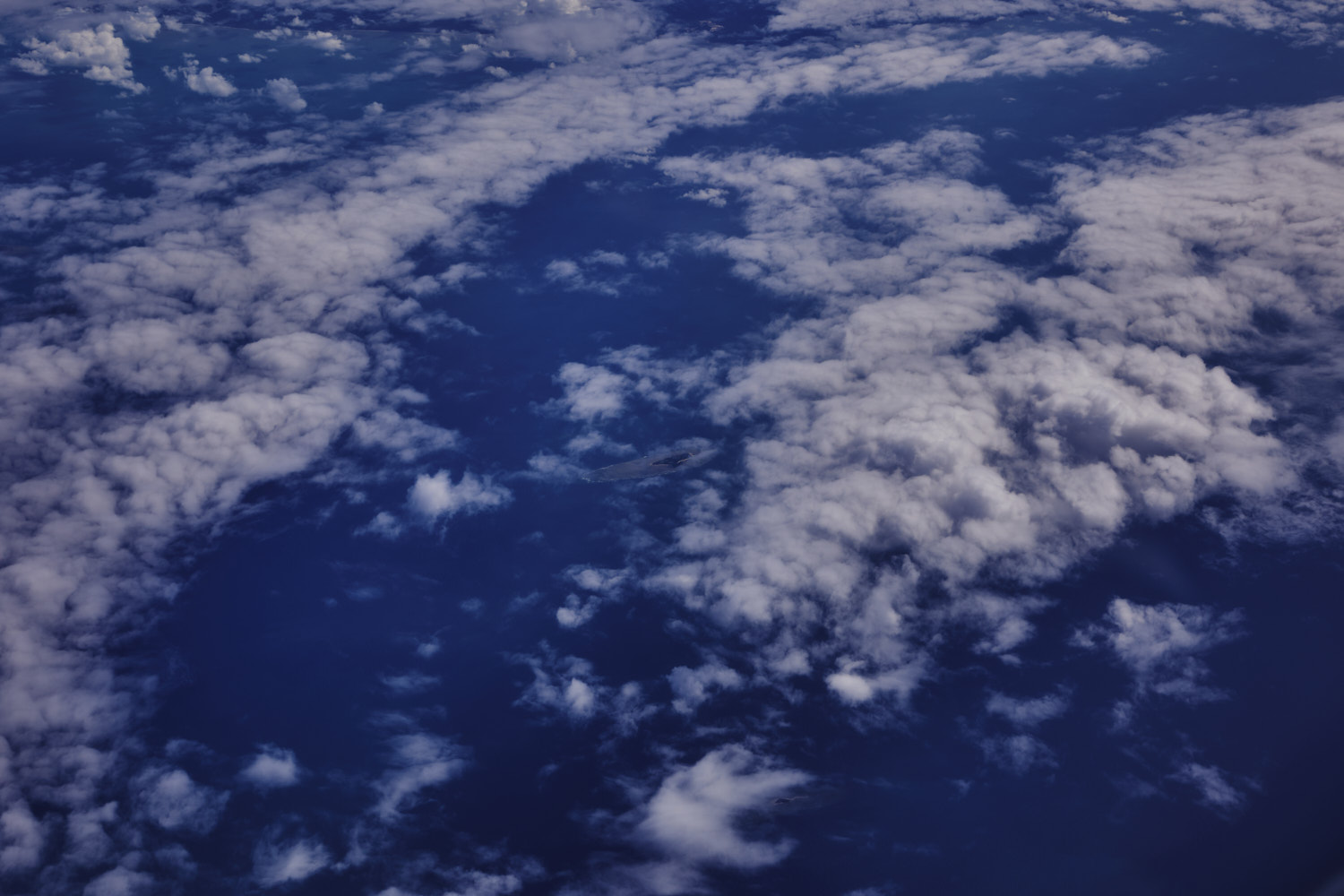
 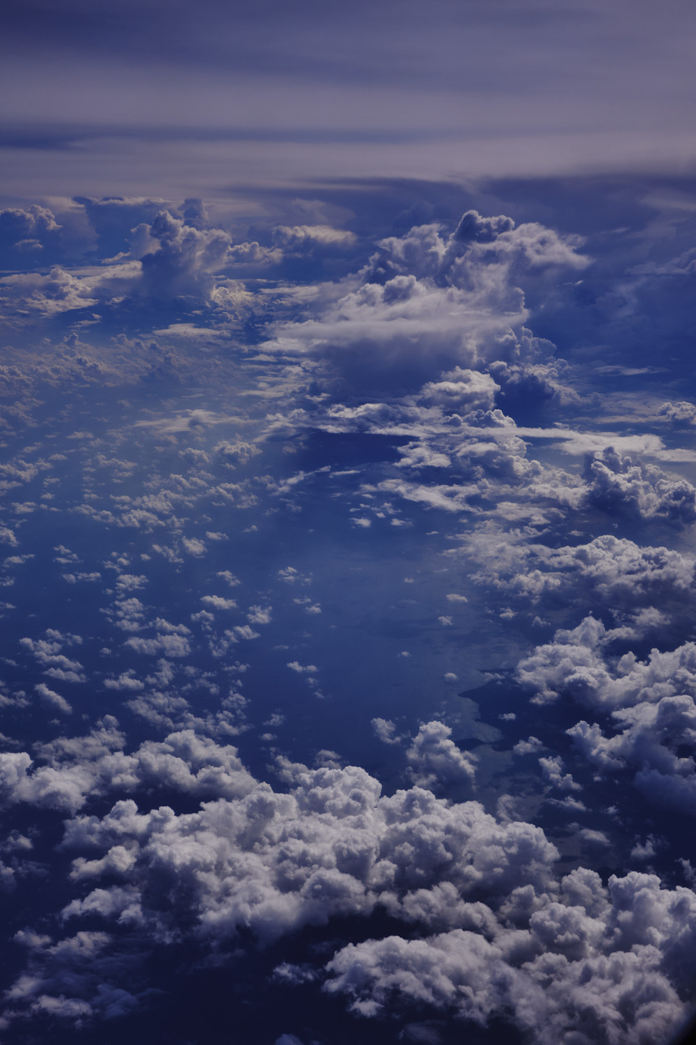 always something to see crossing the Java Sea
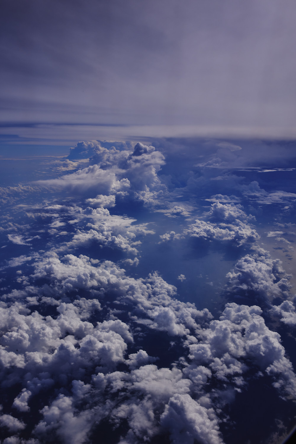
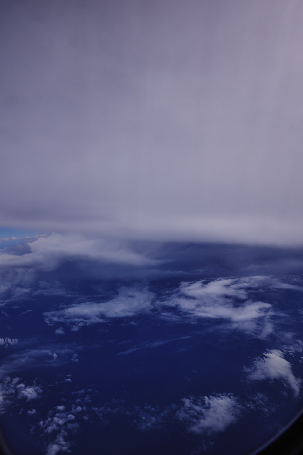 captain just asked us to buckle up
 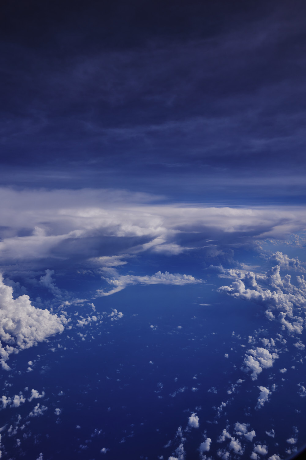 10 min later cleared the turbulence
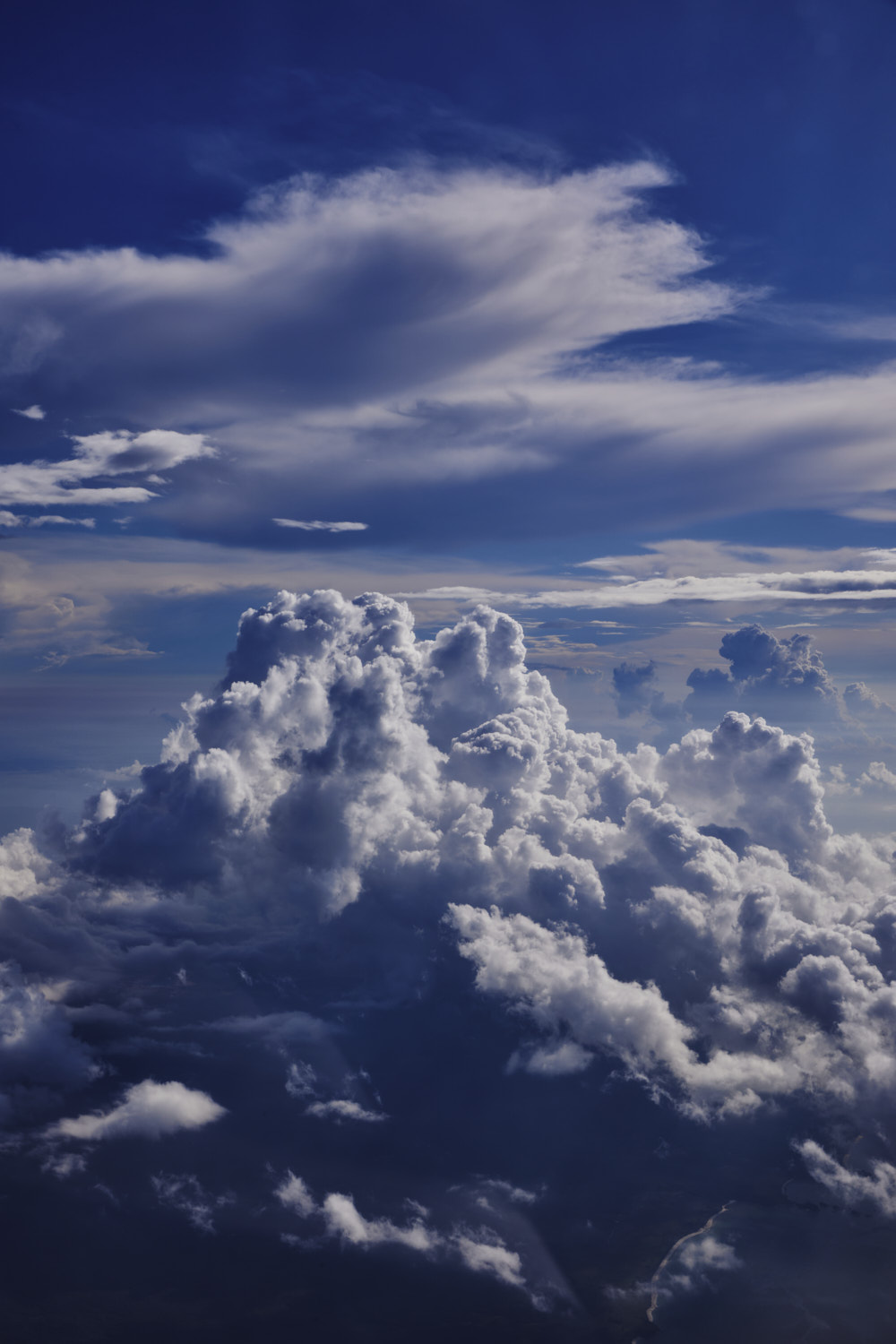
  storm and cumulus
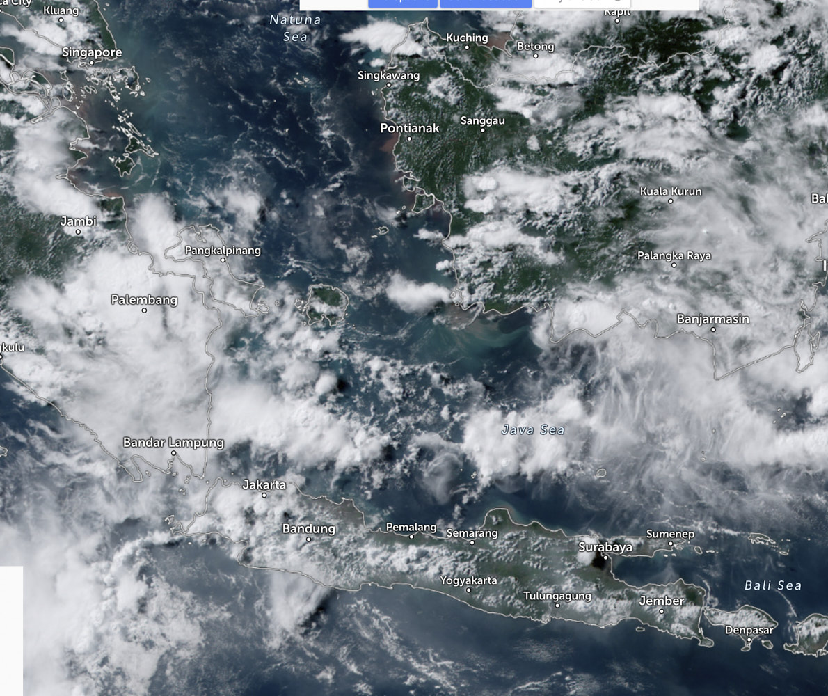
 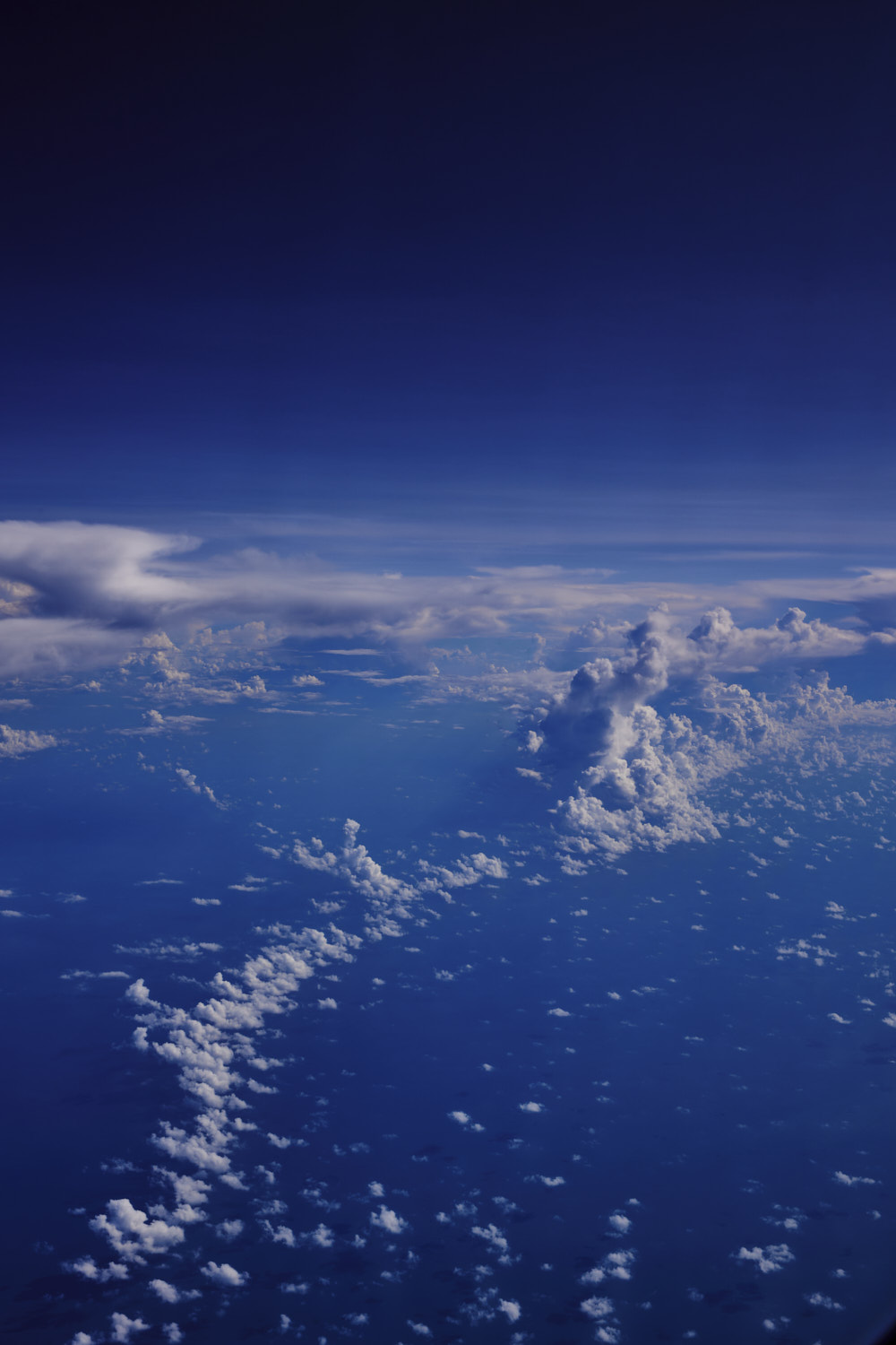 spotted this on satellite
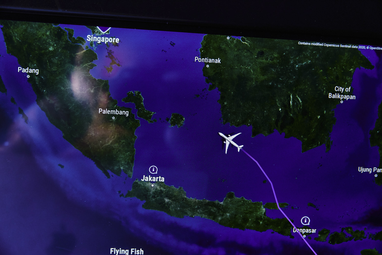
 about 40-50 min out from Singapore now
 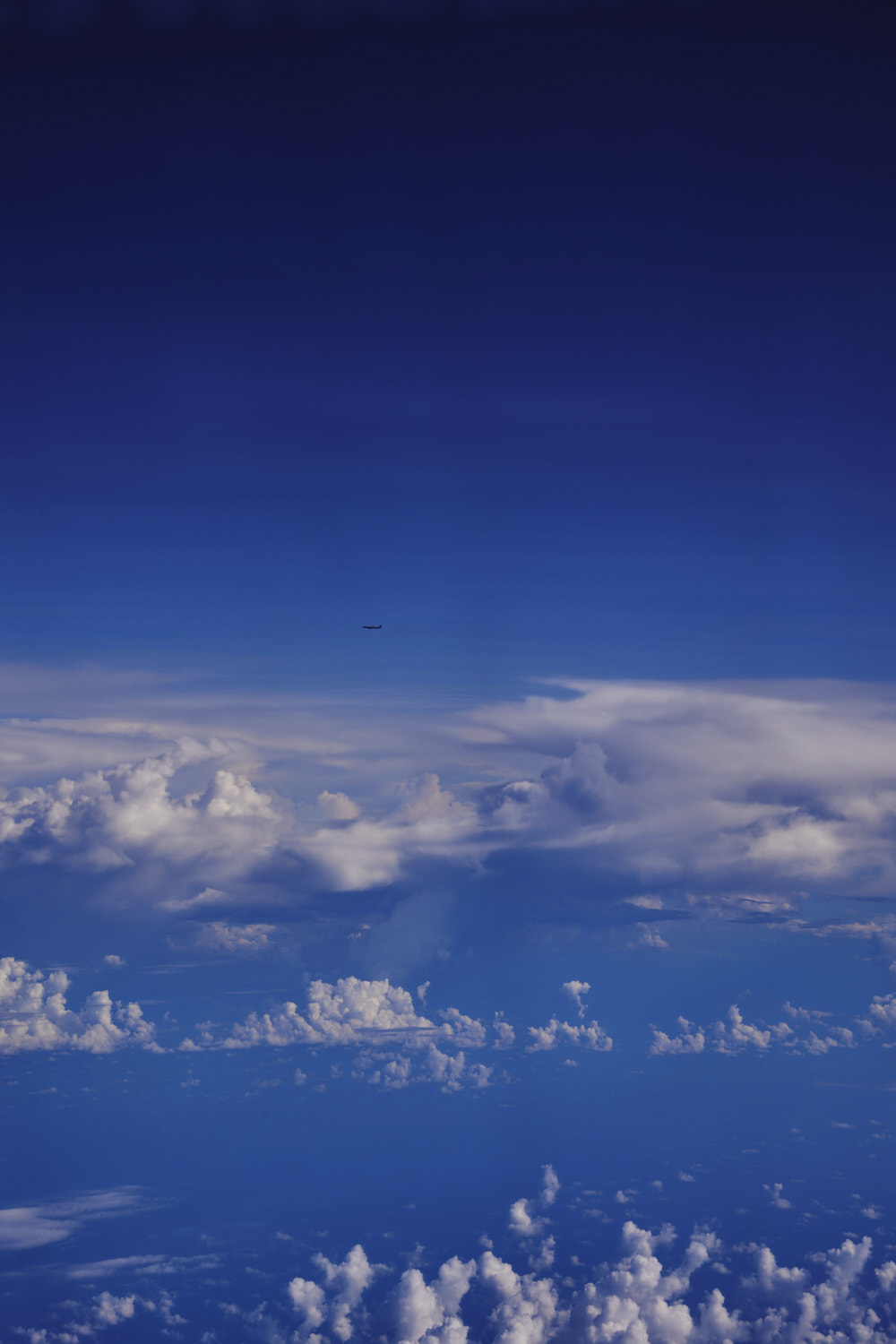 we’re not alone
 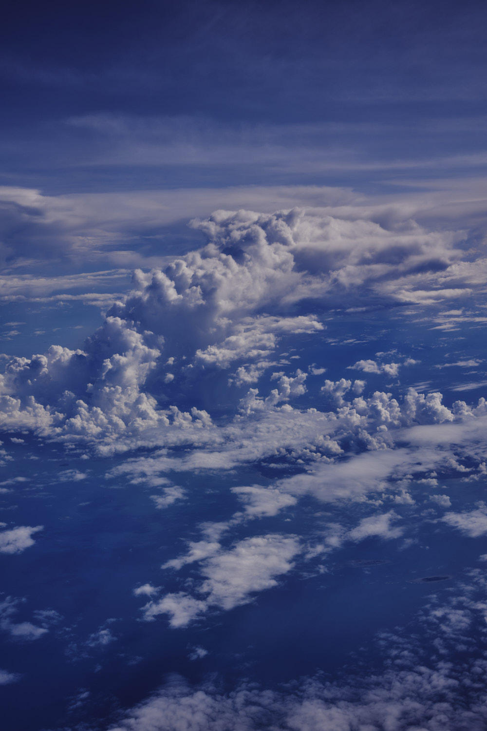 Manggar
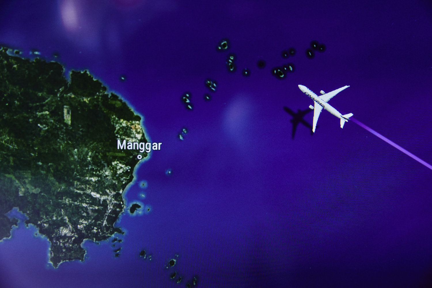
 and one of its many islands
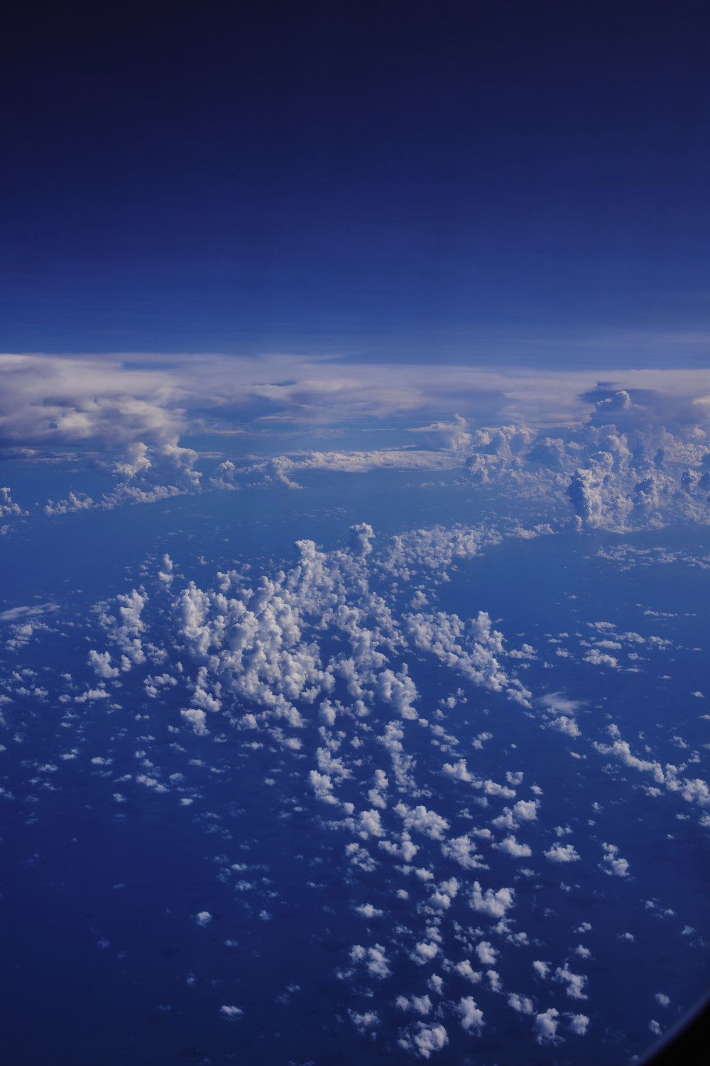
 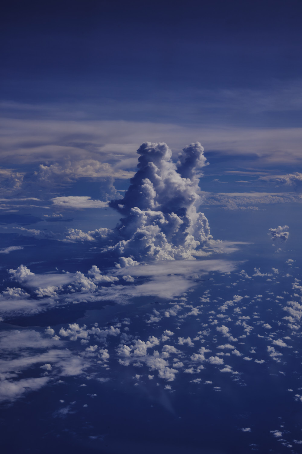 another storm cell forming
 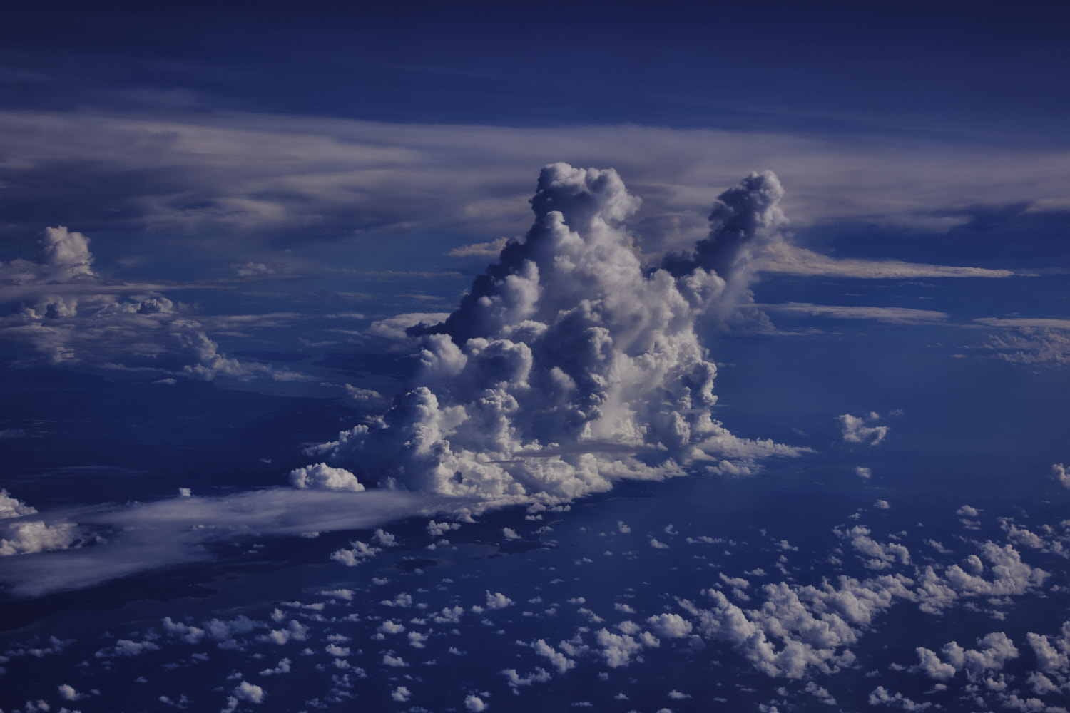 Bangka Island
 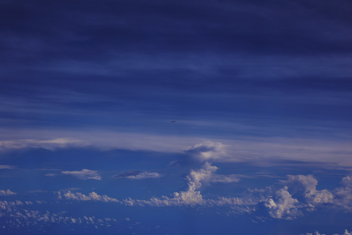 We’re not alone, Emirates flight
 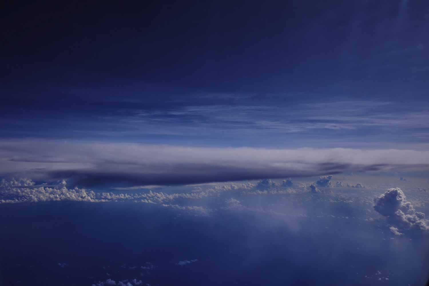 more storm cells
 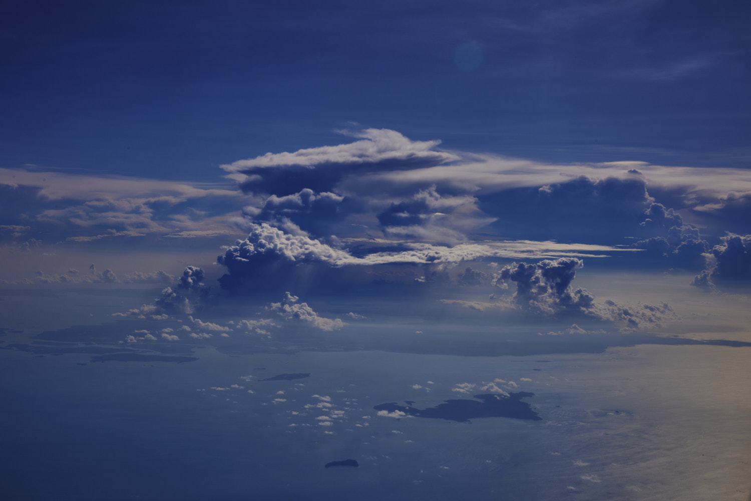 Big one over Bintan Island, which sits of Singapore
 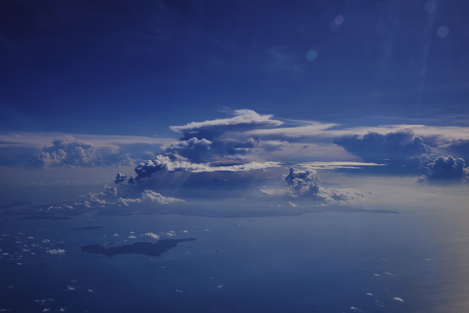 impressive
 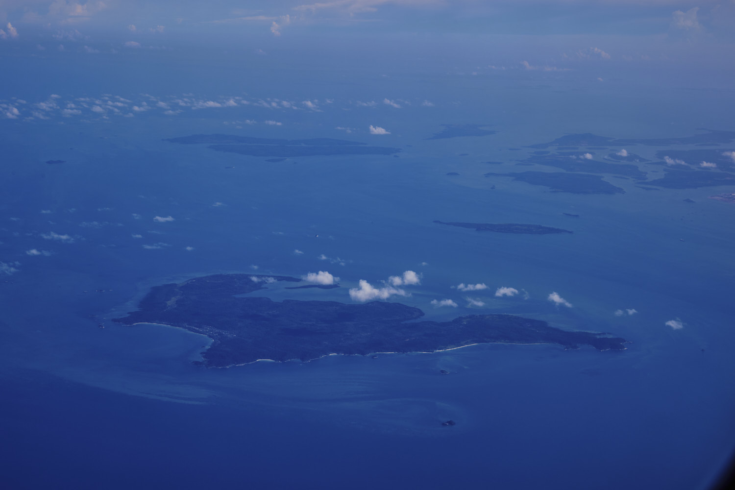 Mapur
Mapur 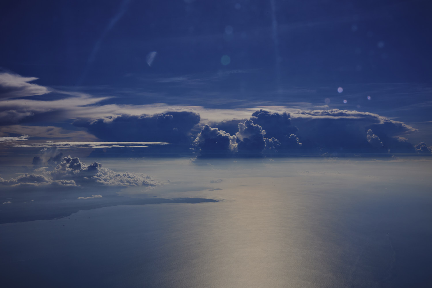 oh woauw, Singapore is under a massive storm cloud as well
  love my window seats
 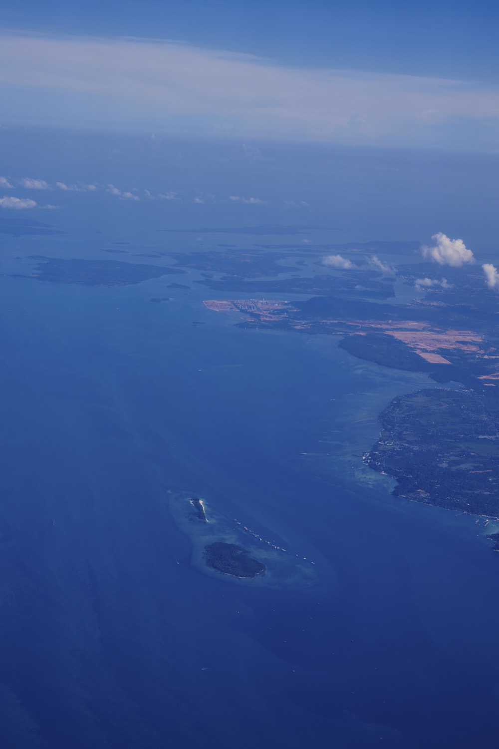 White Sands Island
 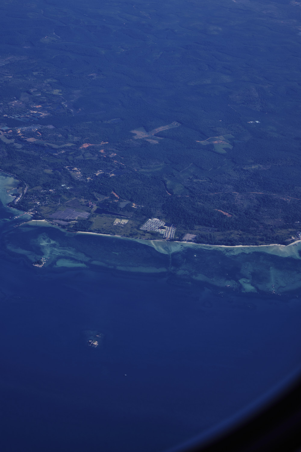 water clearer here than Singapore, and we are just across the Singapore Strait
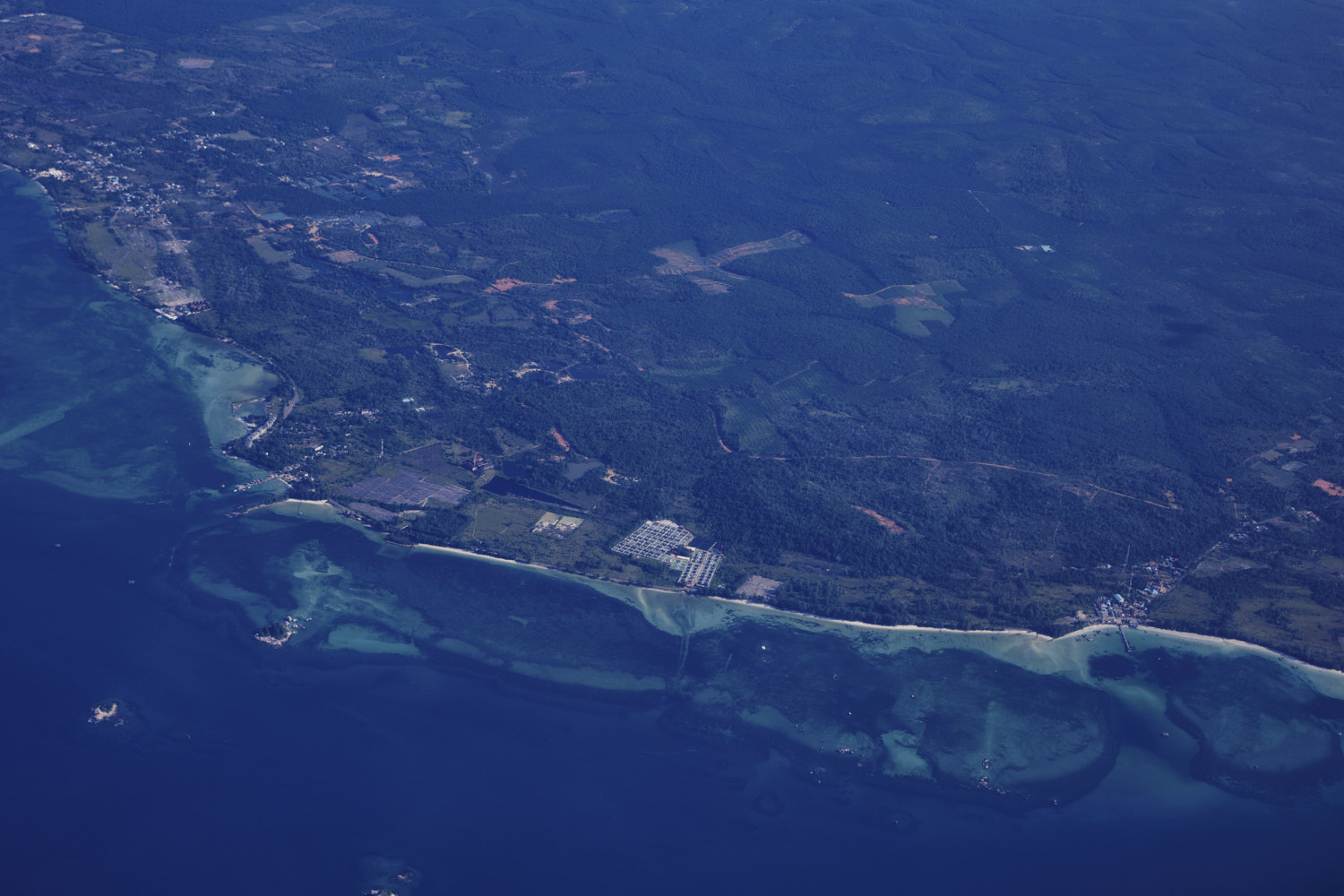
 more storms
  with a phallic member
 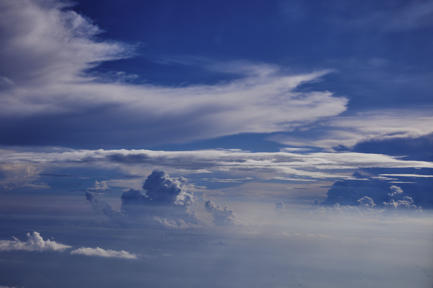 could be a great sunset
 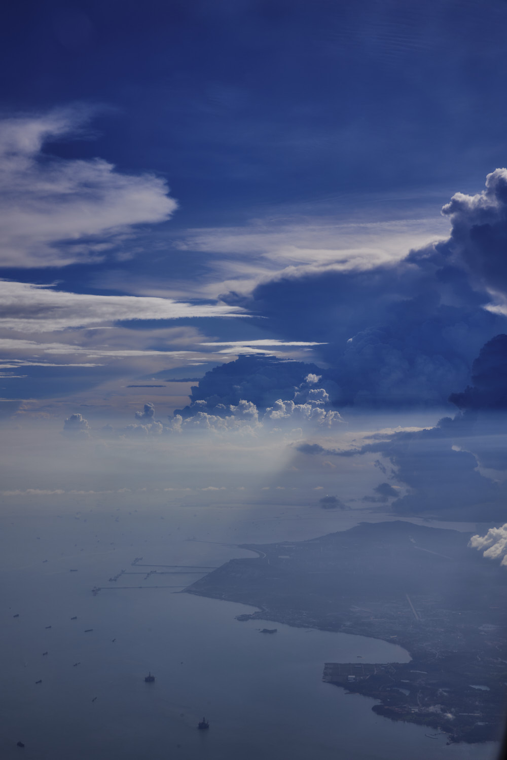 Kampang
 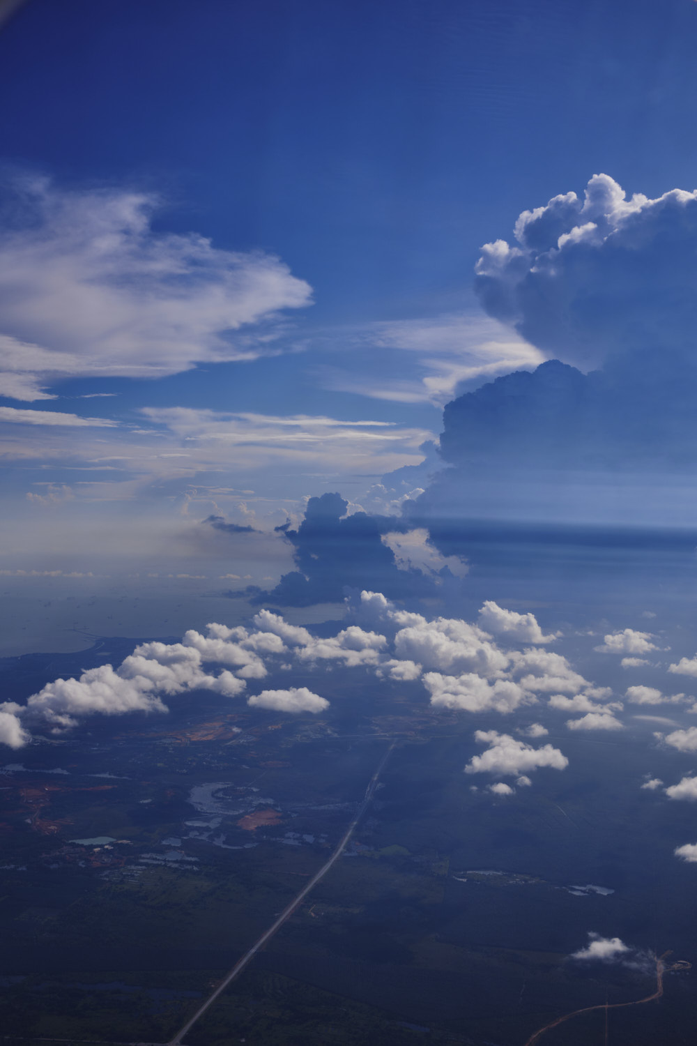 and right under that cloud is Singapore
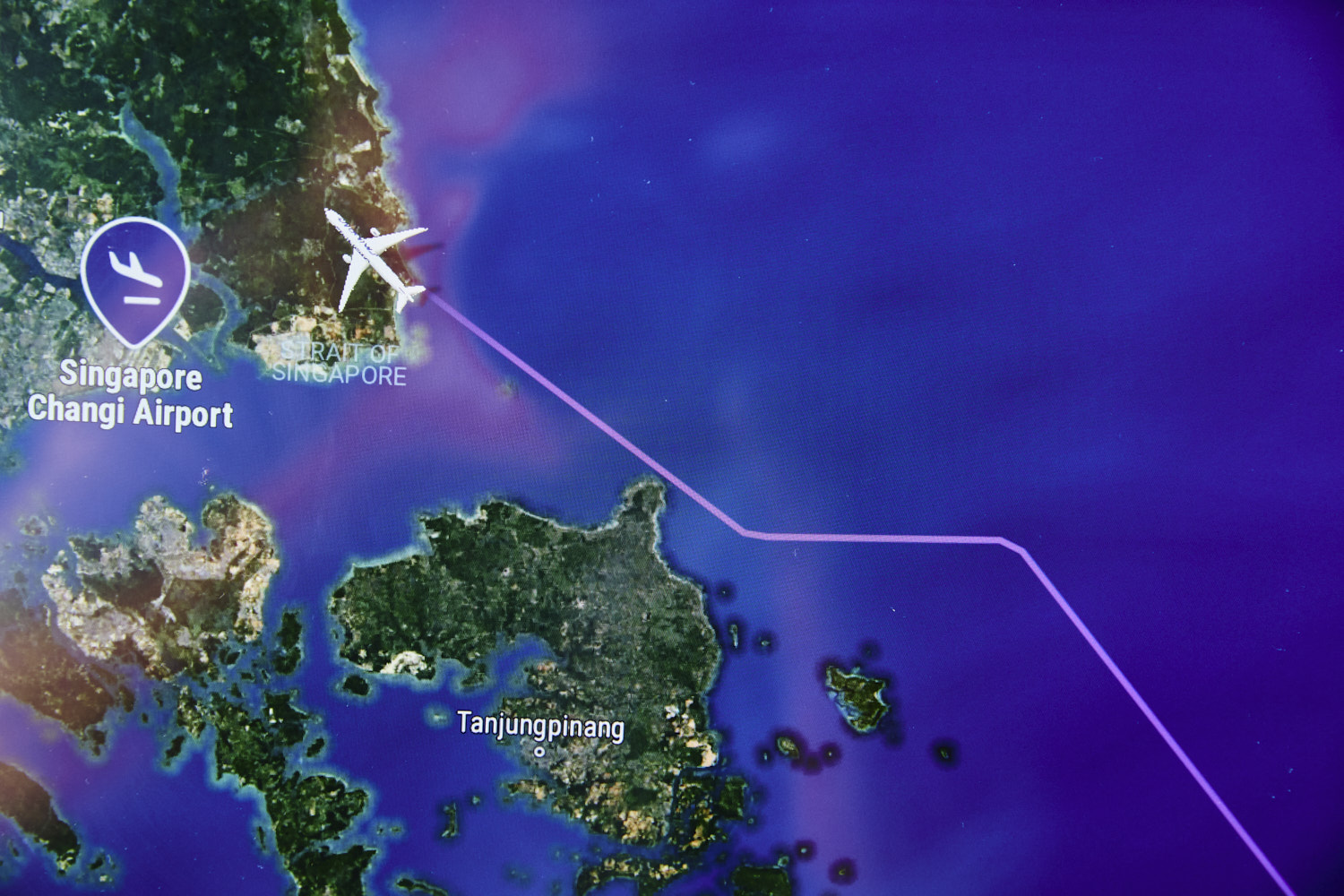
 flying behind it as opposed to into it I guess
 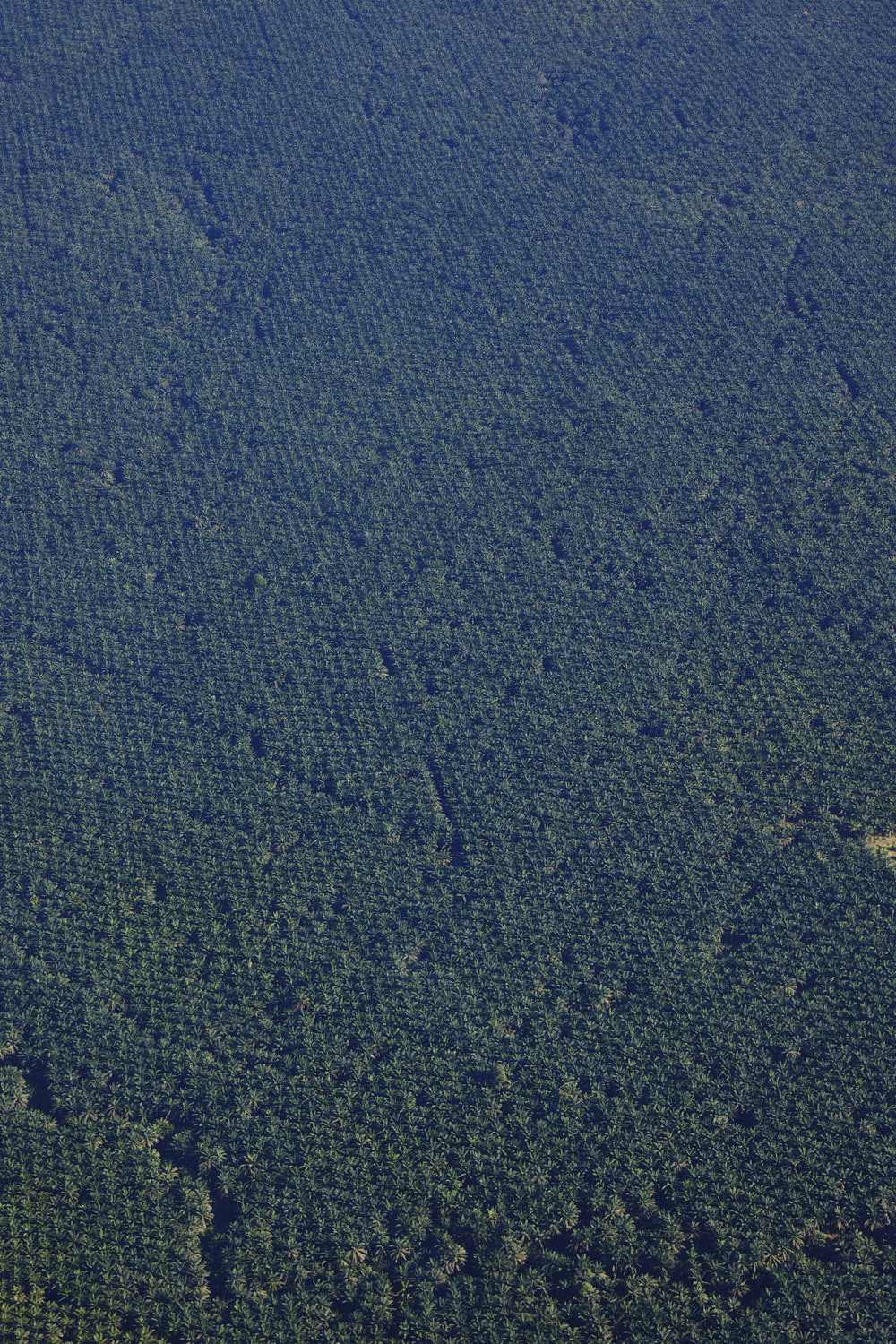 Palm plantation anyone
 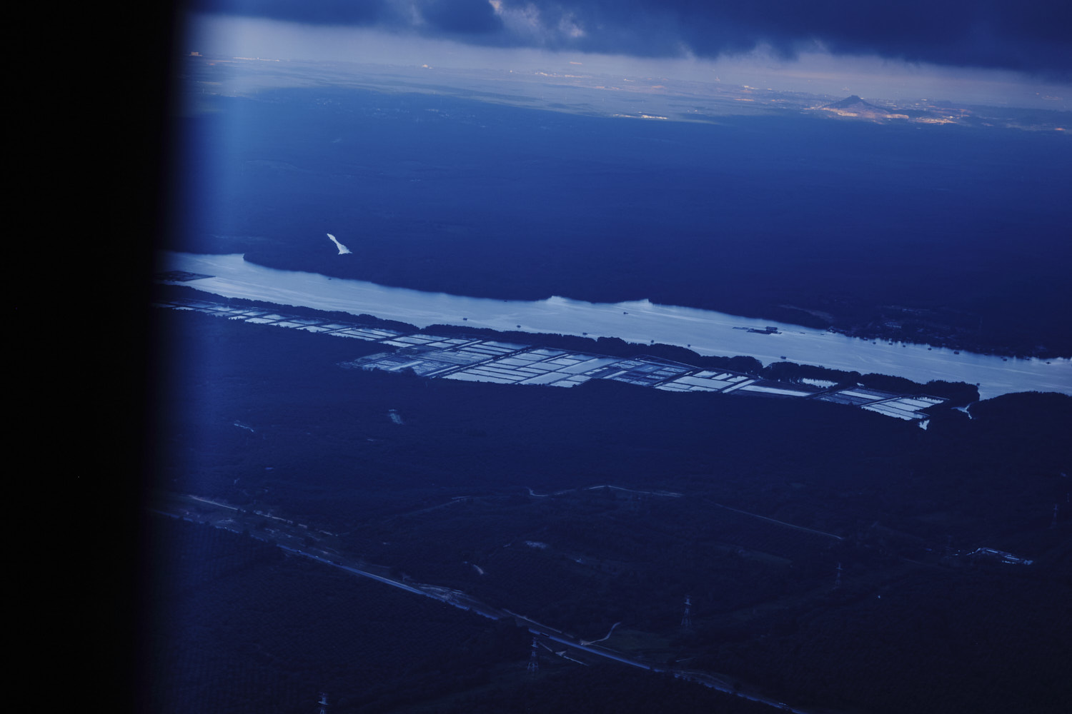 Lebam River
  raining now
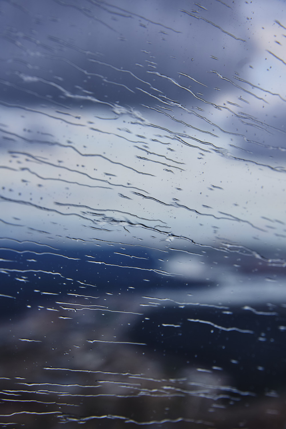
 literally flying on the Indonesia/Singapore border
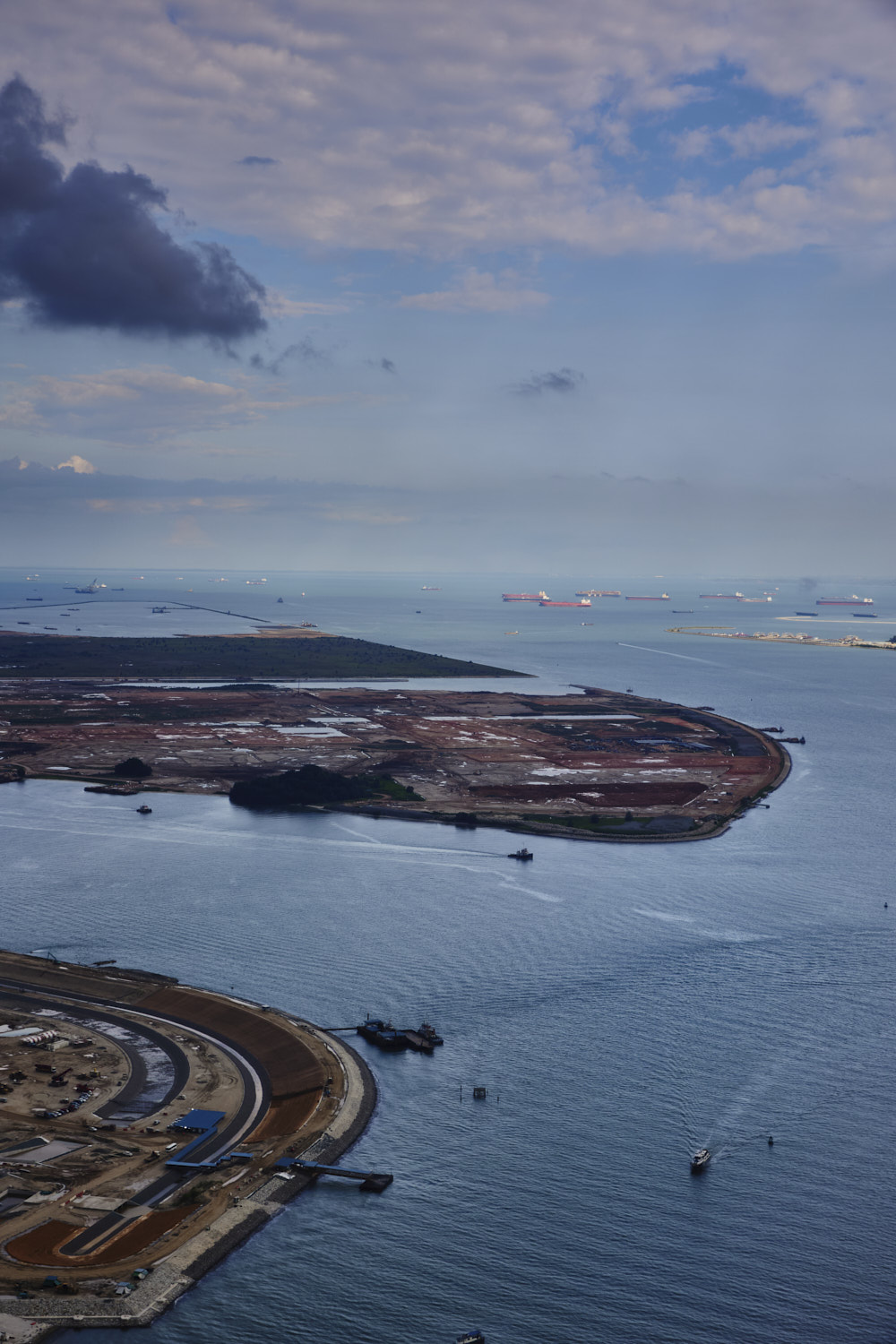
 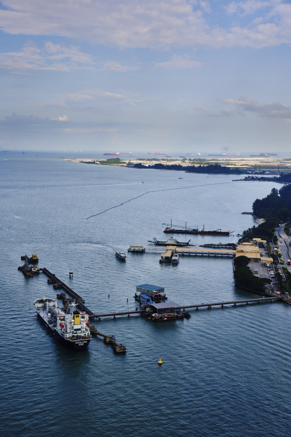 Changi
 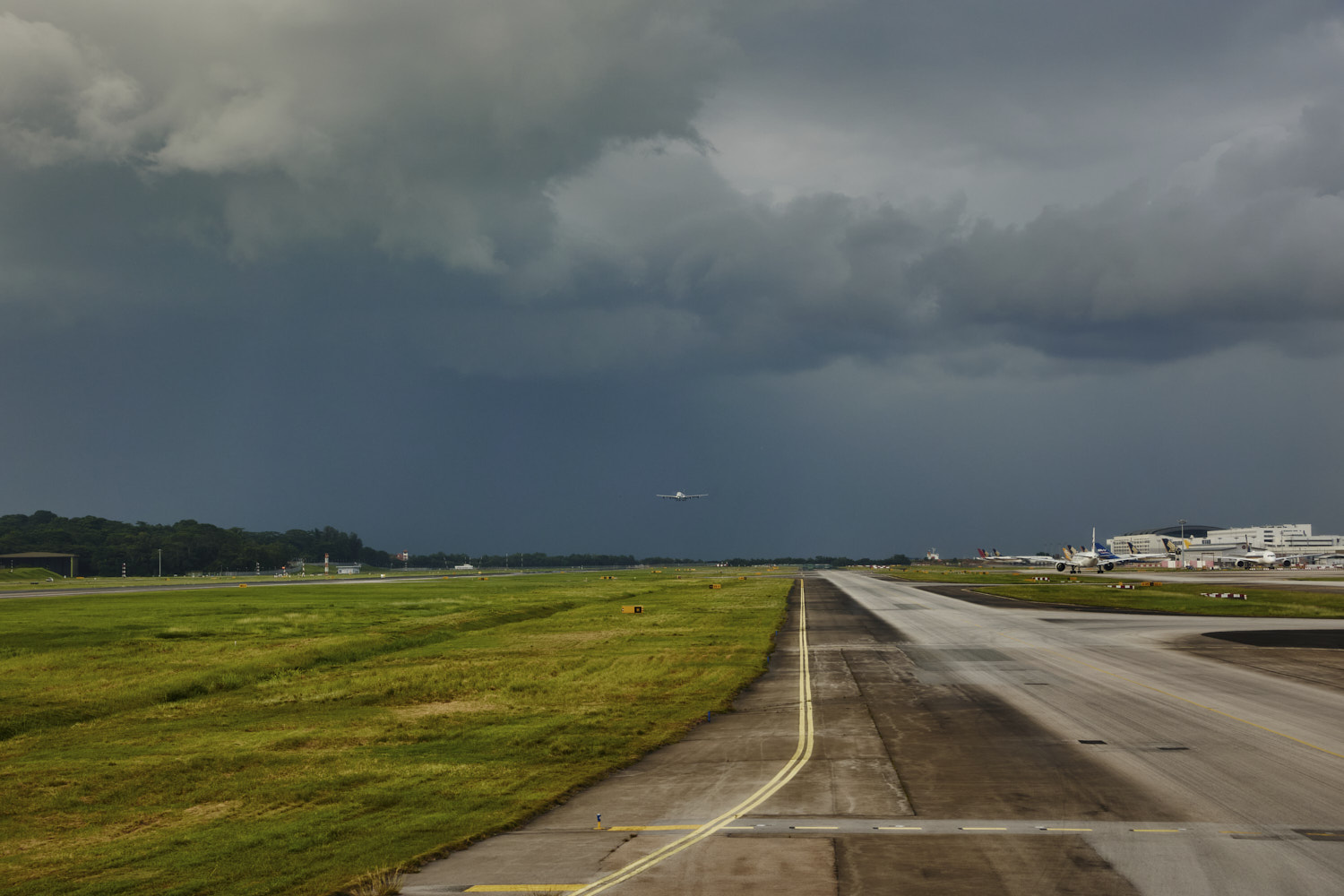 landed
 look at the colour of those storm clouds
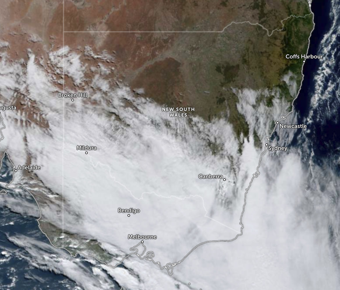 leaving Sydney
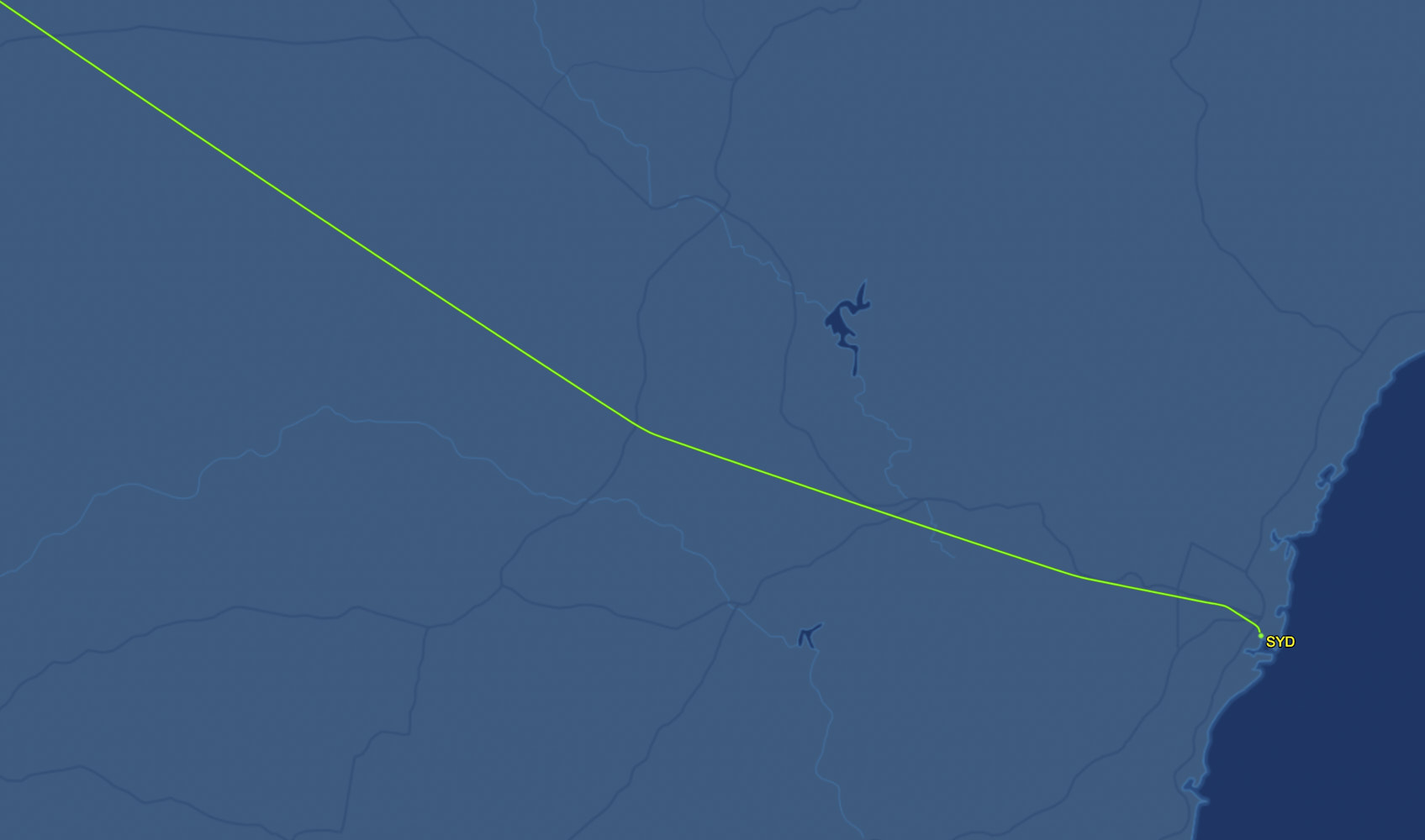 flight track, as you can see, stayed just north of that cloud cover
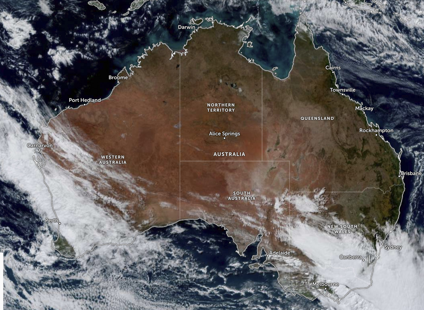
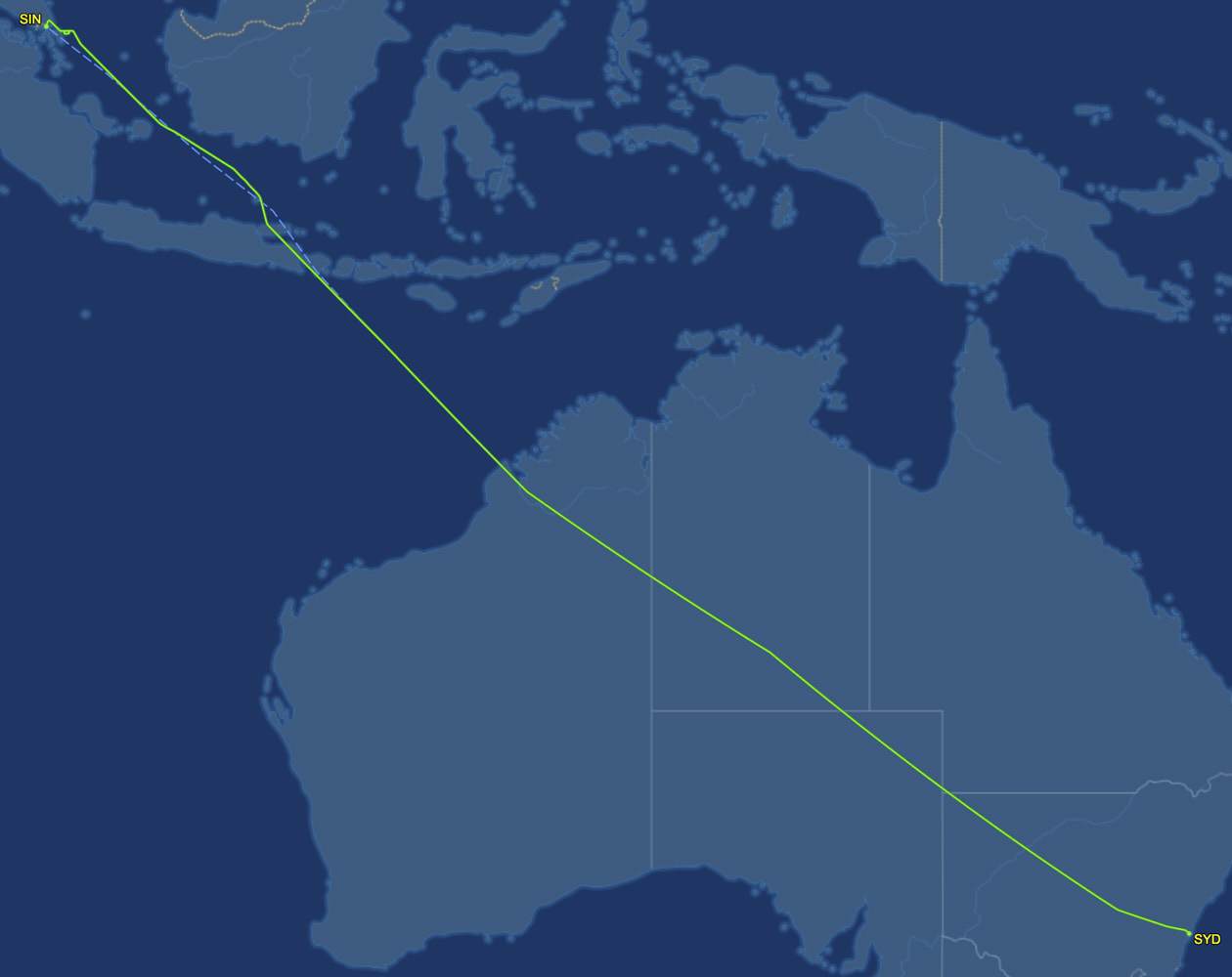 flight track across Australia
 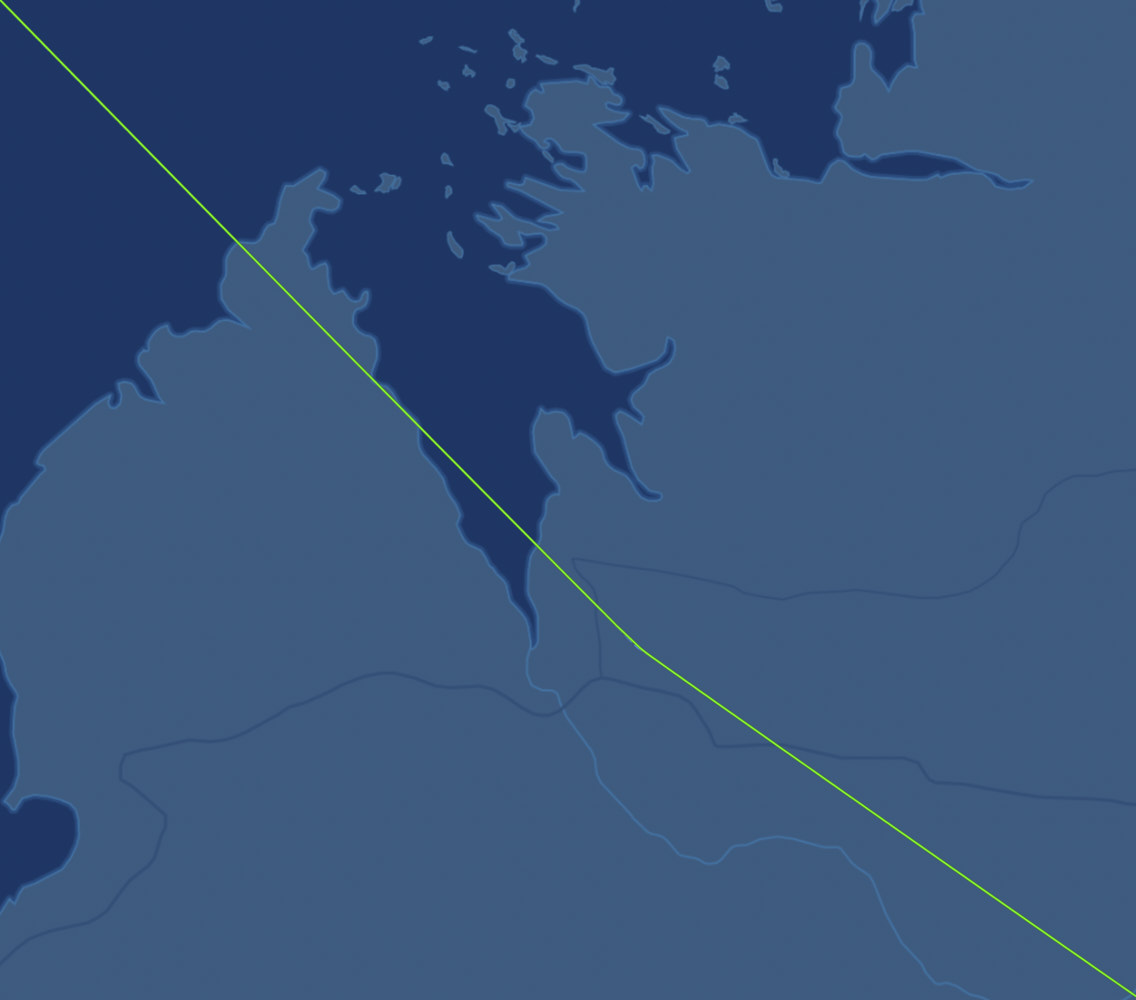 leaving Australia, Dampier Peninsula
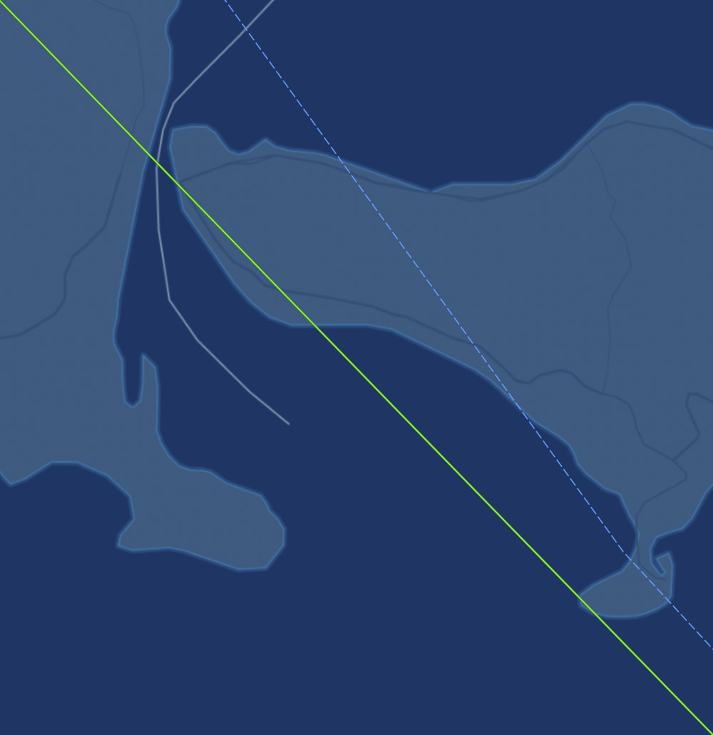 crossed right on the tip of Uluwatu
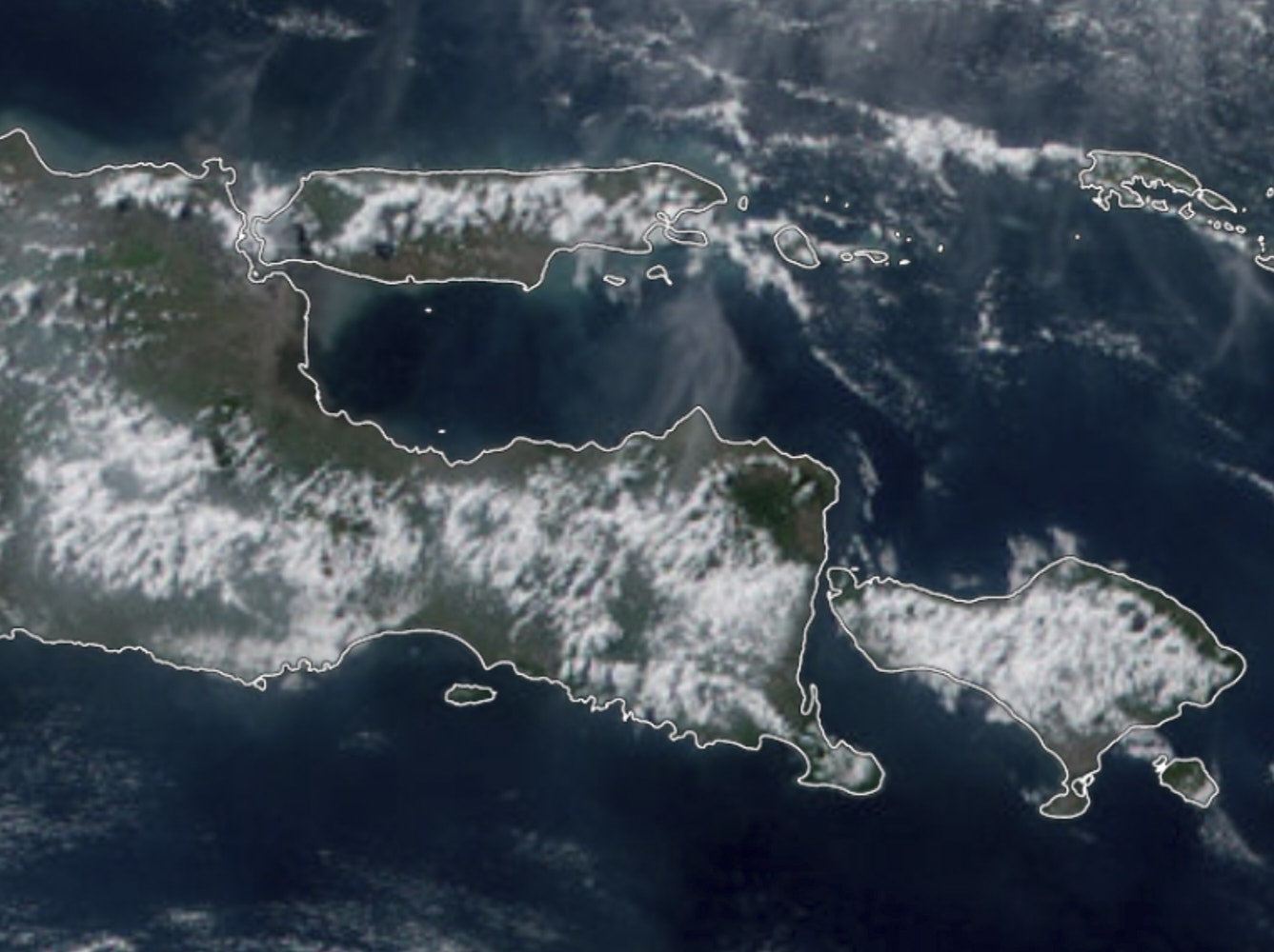
 Java Sea
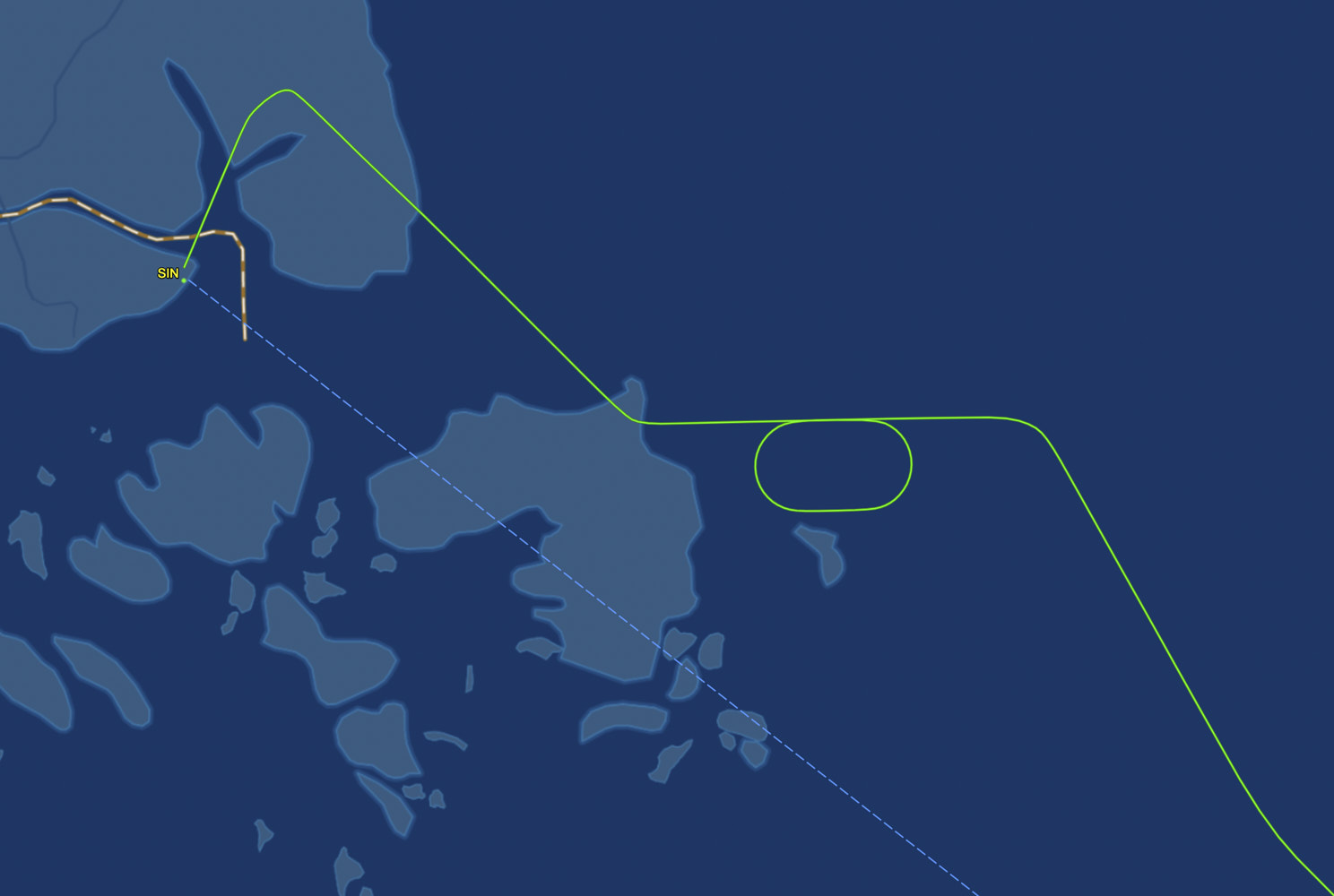 approaching Singapore
 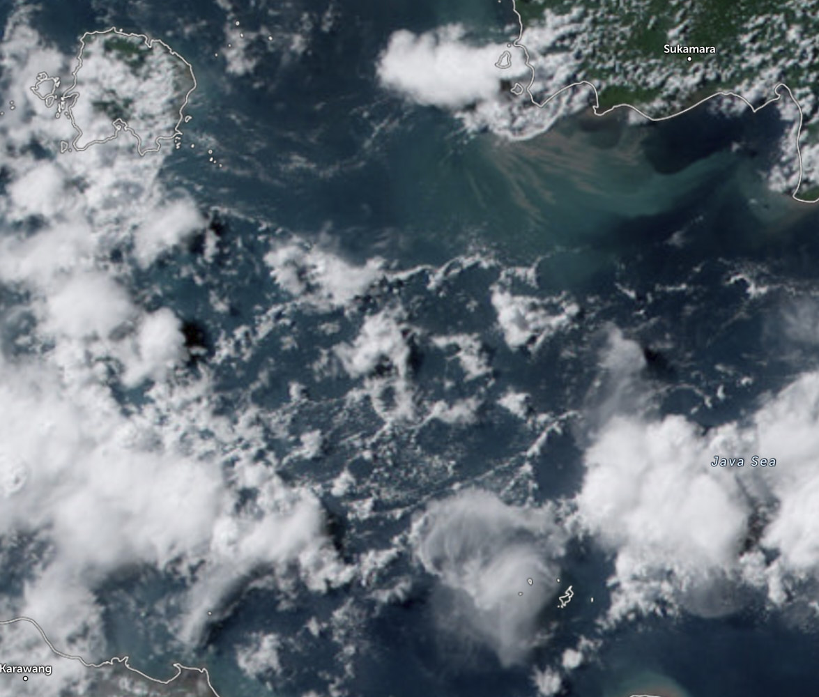 Storm clouds in Java sea
 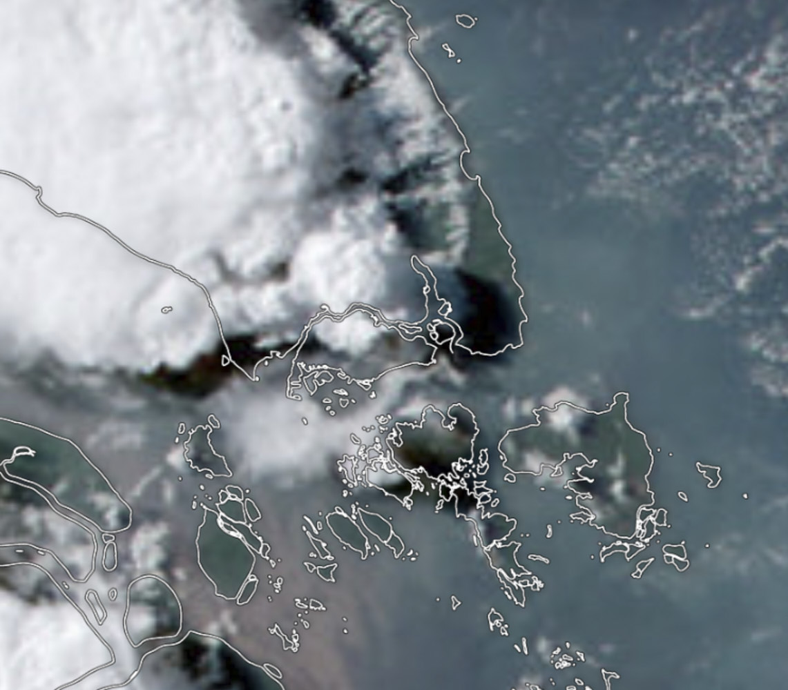 and that big one over Singapore
Sydney-Singapore QF291


Love a good day flight over australia, as opposed to a red eye, or a late afternoon take, this way I get to take so many more photos, and boy there's a lot to look at in this post
Sonny Vandevelde