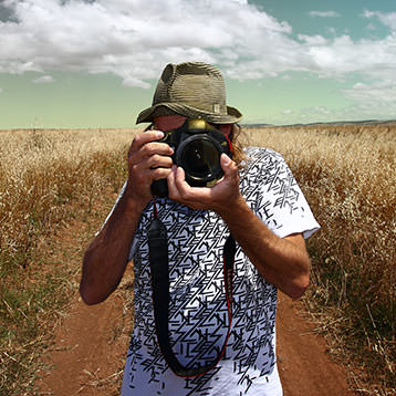
Sonny Vandevelde
Fashion should be fun and with my photography I love to create those fun moments.
Travel
Sydney>Singapore QF01
Well, a long flight, and it being summer, lot of daylight and managed to fly across the whole continent and reach end of continent on sunset, so plenty of photos and plenty of places I managed to find and name
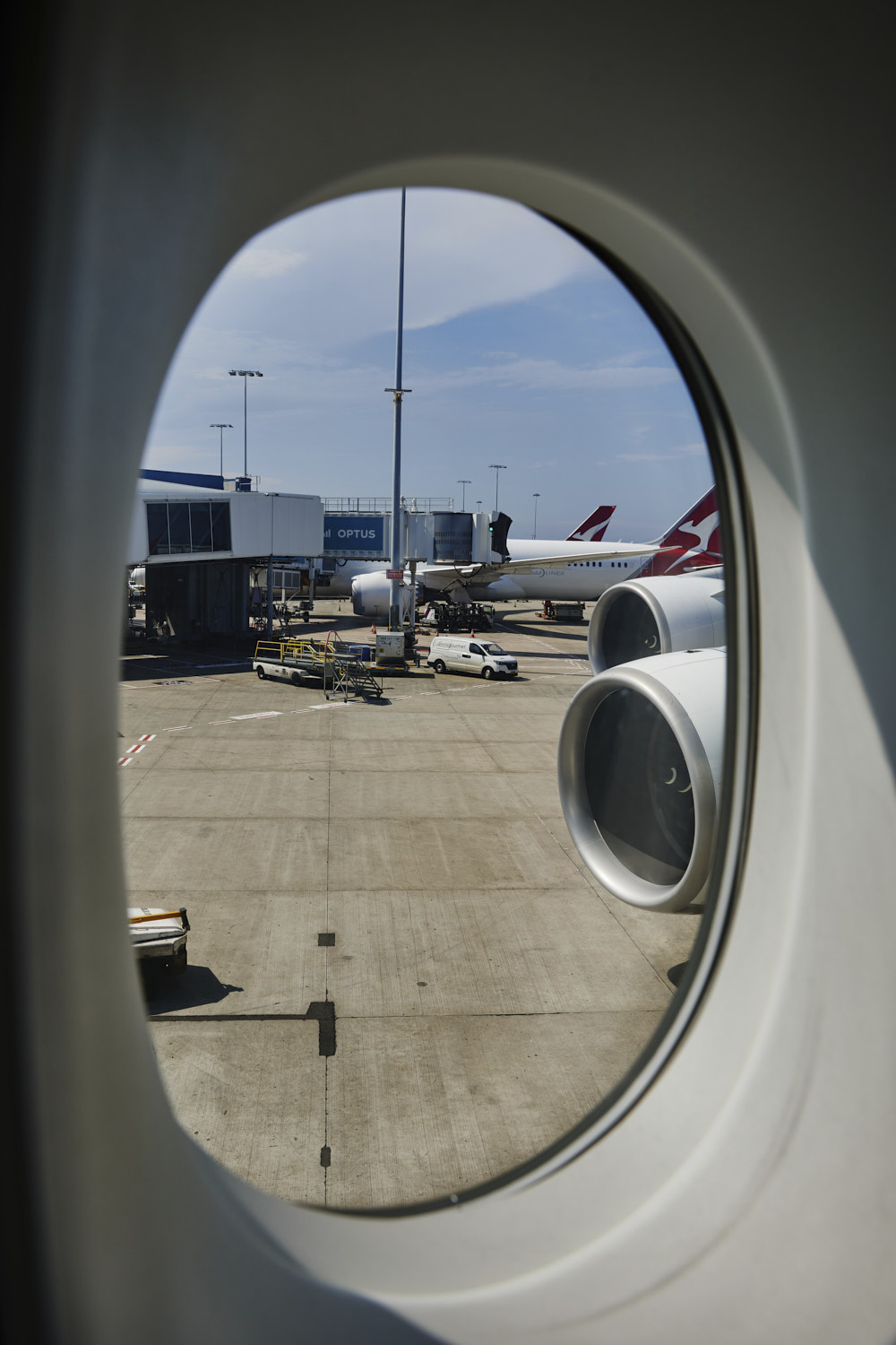 Holidays are over, time to go back to work
 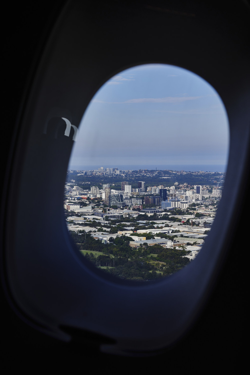 take off - Alexandria
 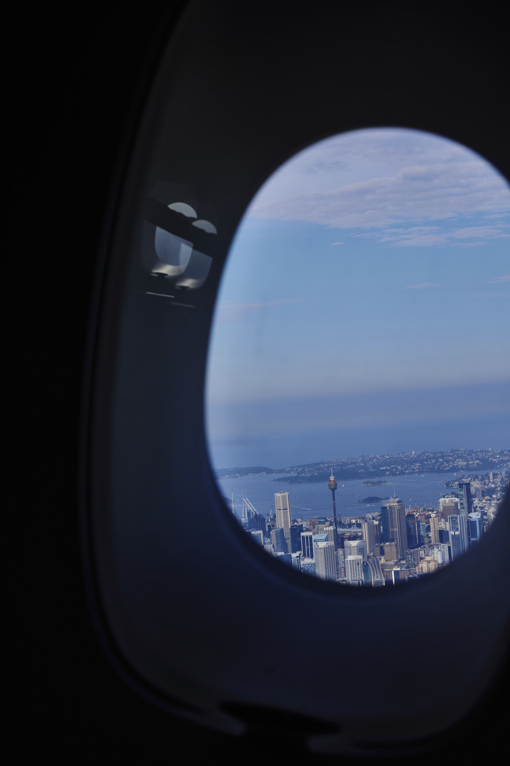 banking, so miss out on shot of CBD
 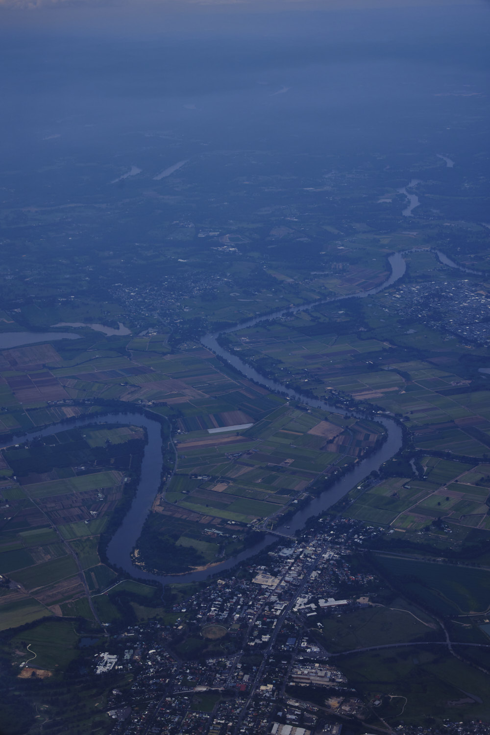 Windsor on the Hawkesbury River
 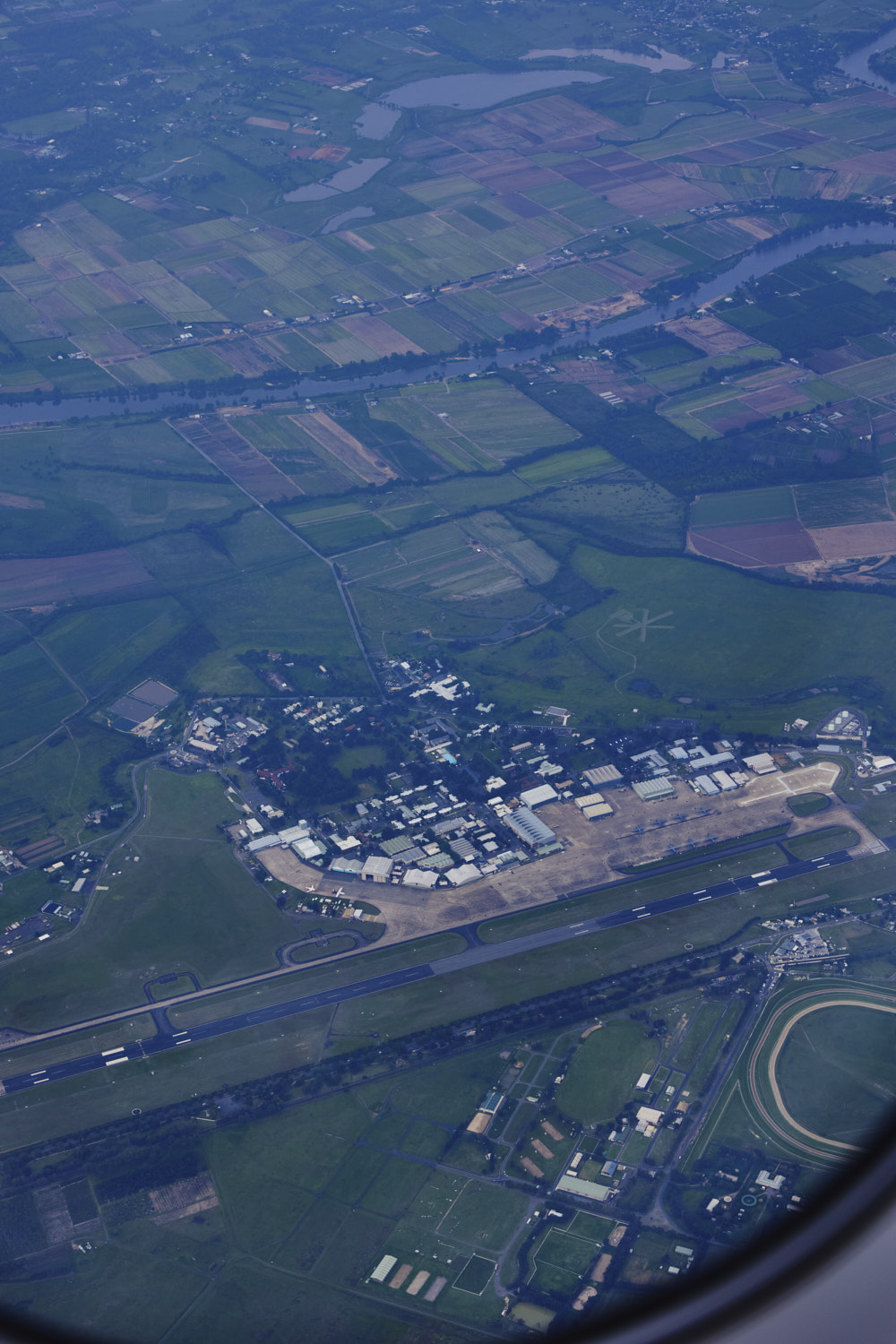 RAAF Base Richmond, and below the Hawkesbury Showground
 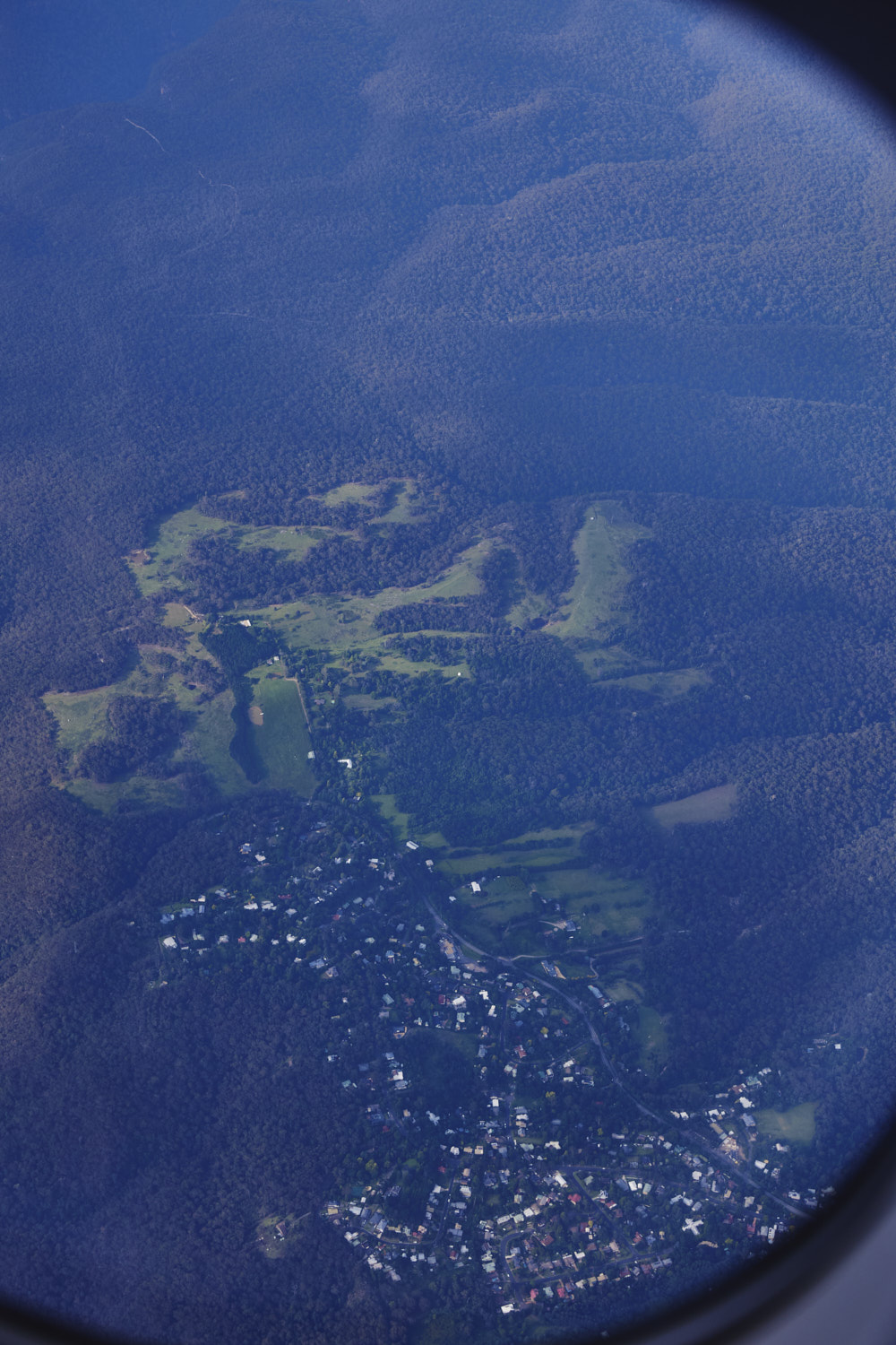 Kurrajong heights, on Bells Line road, been along this road many times
 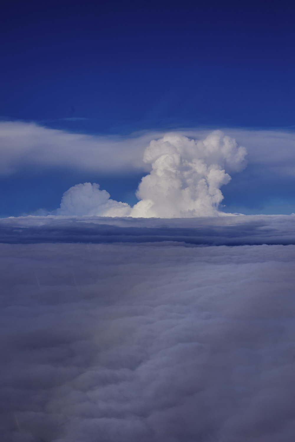 serious looking storm cloud
 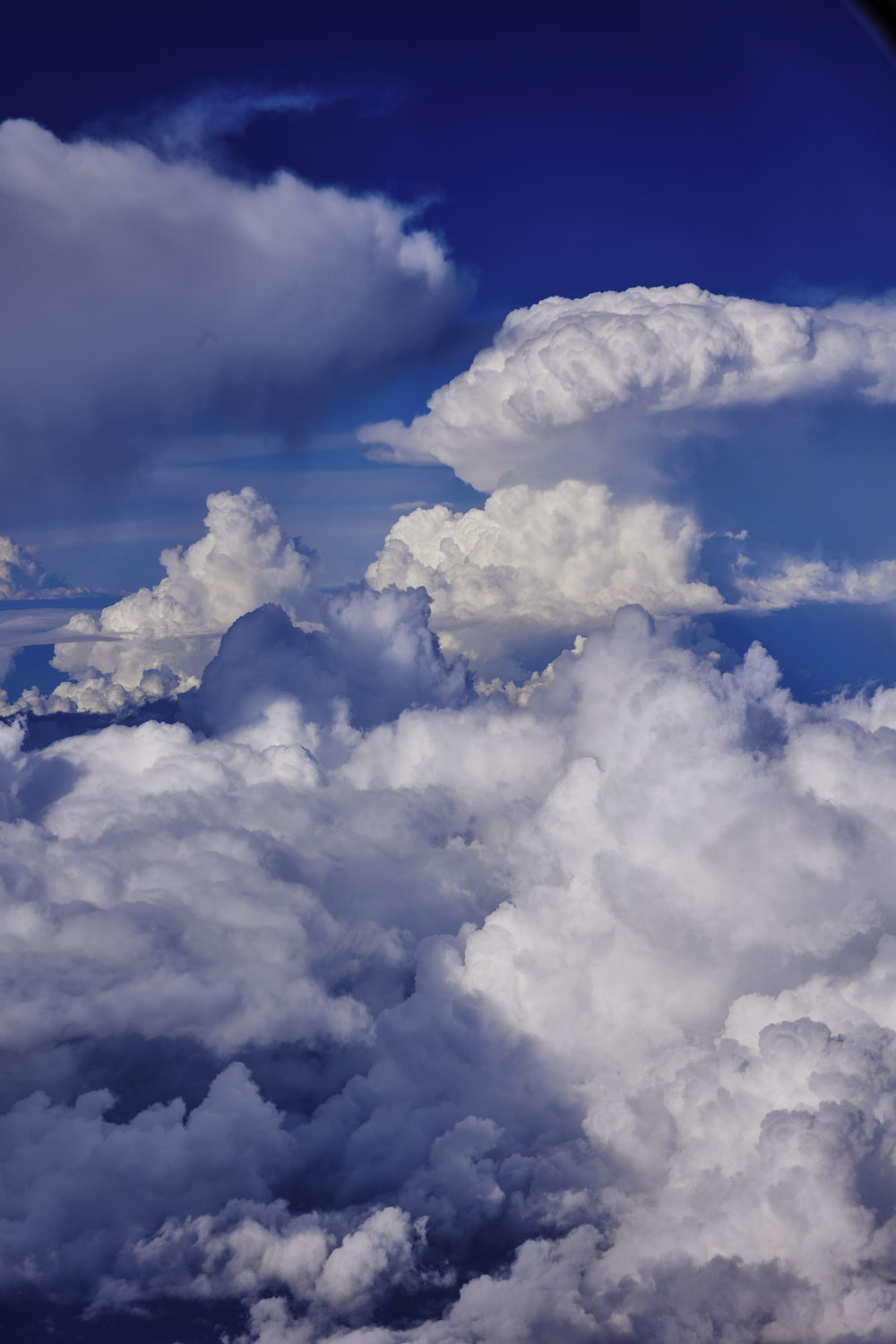 crossing the Blue Mountains
 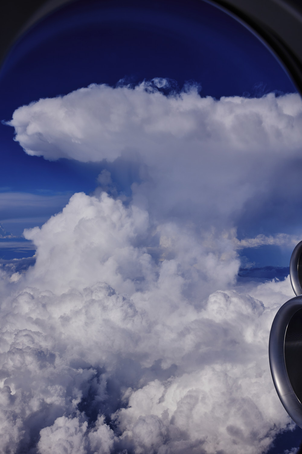 serious updrafts
 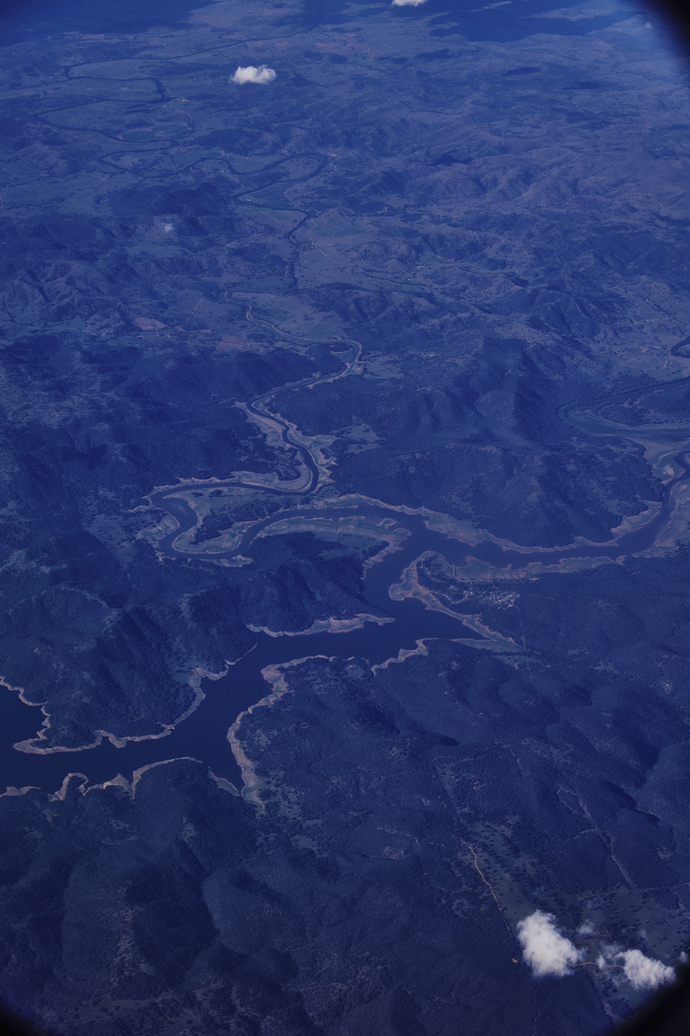 so missed Lithgow and Mudgee, so instead Lake Burrendong first up after crossing the Blue Mountains
 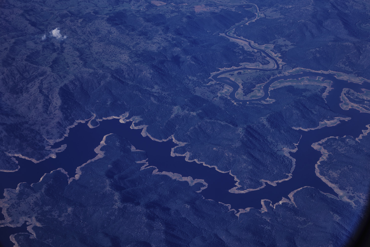 Cudgegong River
 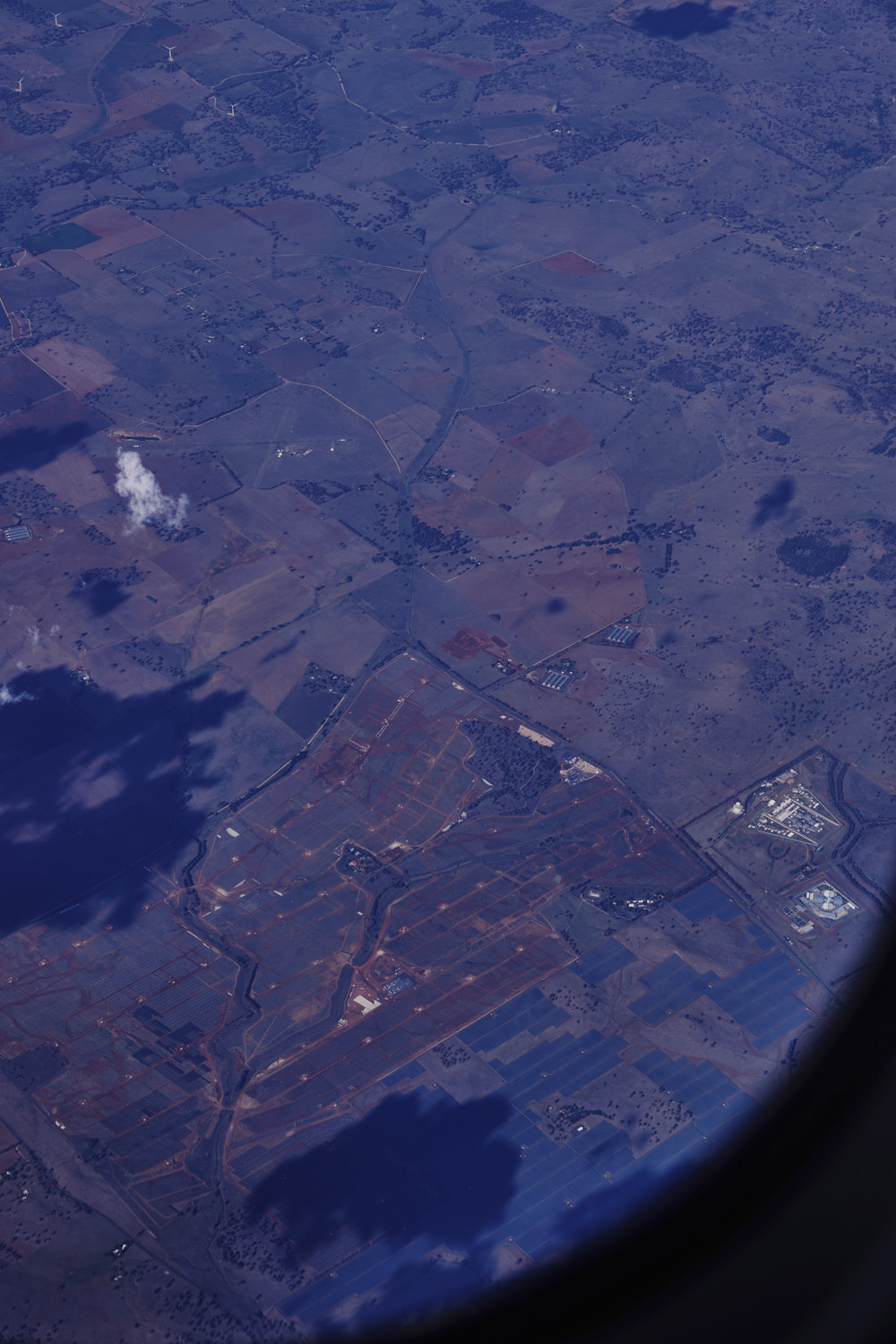 Wuuluman
 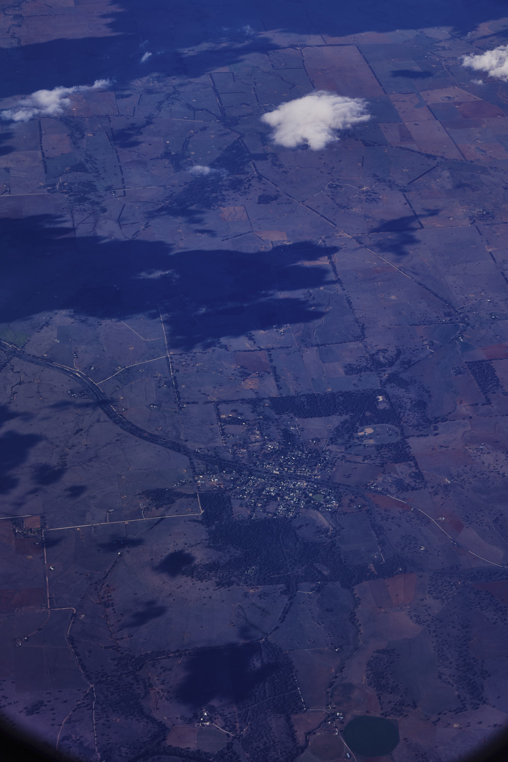 Geurie, Mitchell Highway
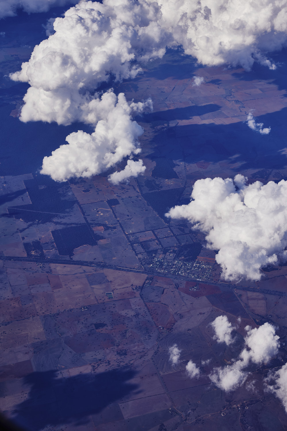 Wongarbon, Mitchell Highway
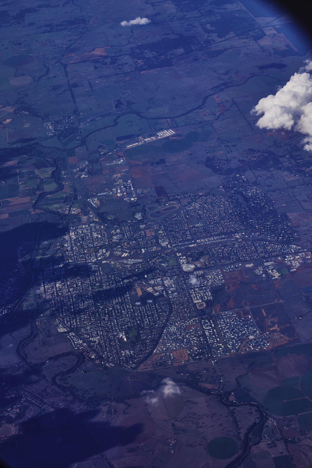 Dubbo
Dubbo 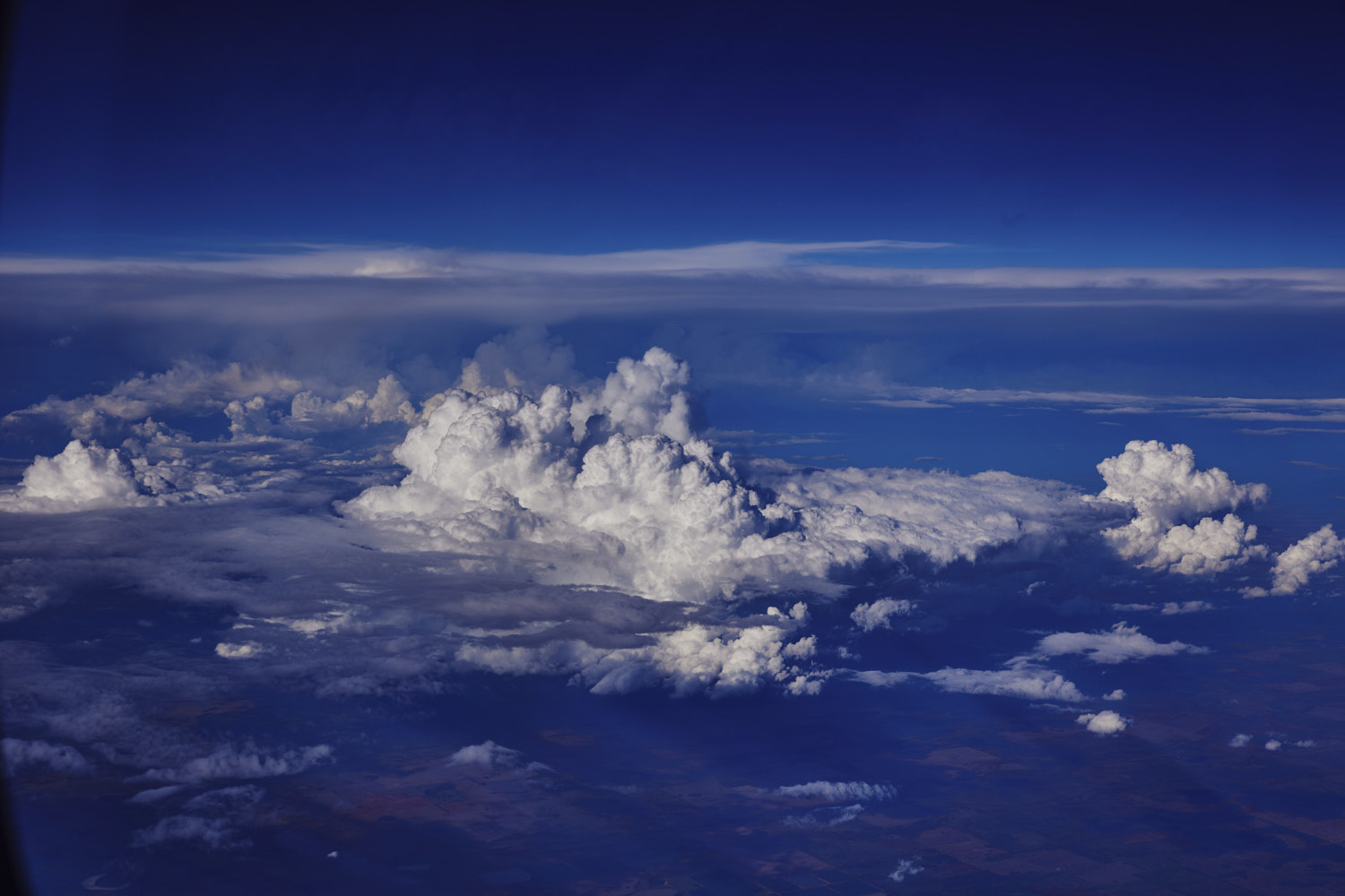 serious storm clouds again
 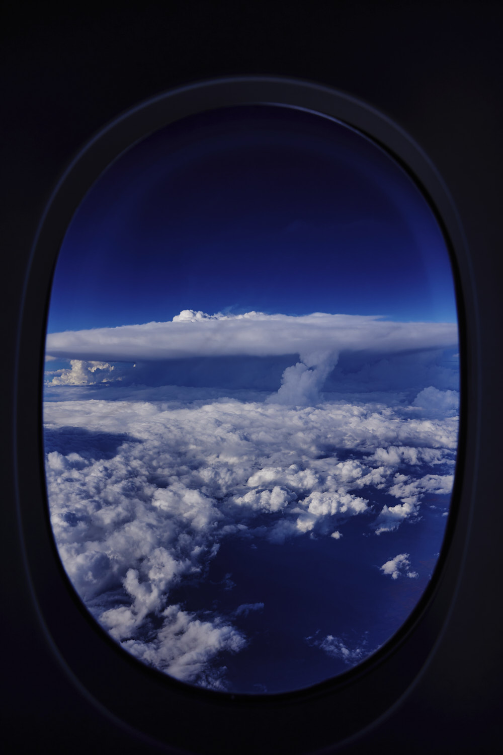 raining over the grain belt
 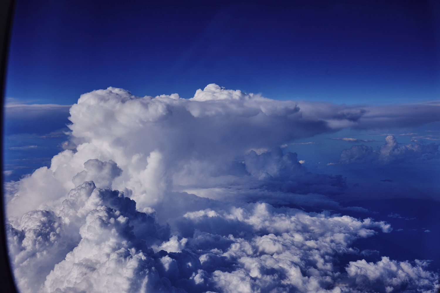 flying around it
 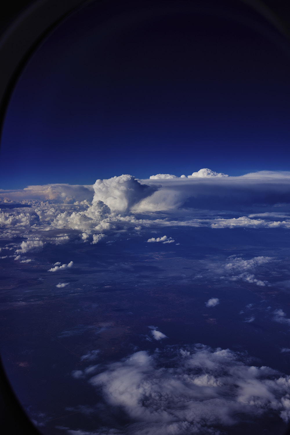 outback nsw
 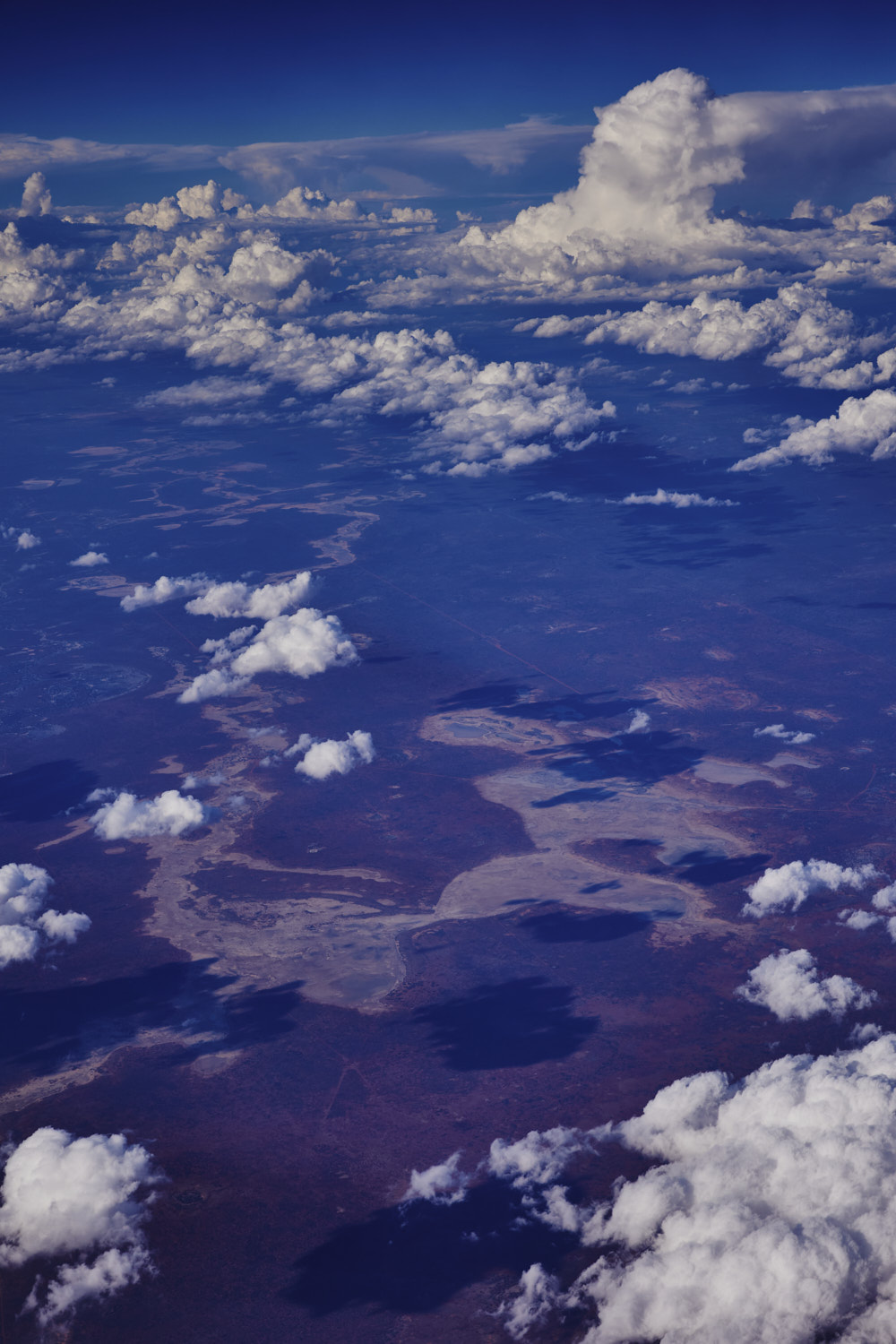 Big wide expanse of what sometimes looks like it would be a big lake, is actually a creek
 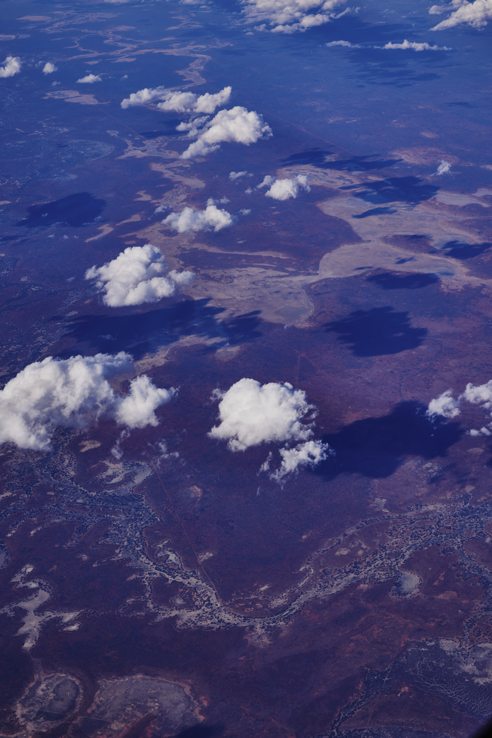 Kulkyne Creek
 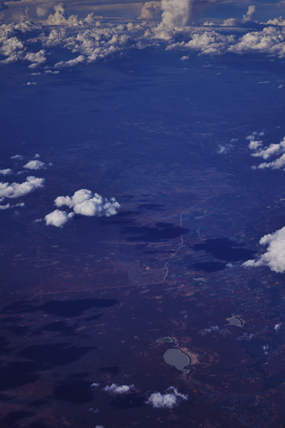 Waitchie Lake and the Bourke-Milparinka Road near Paroo River
 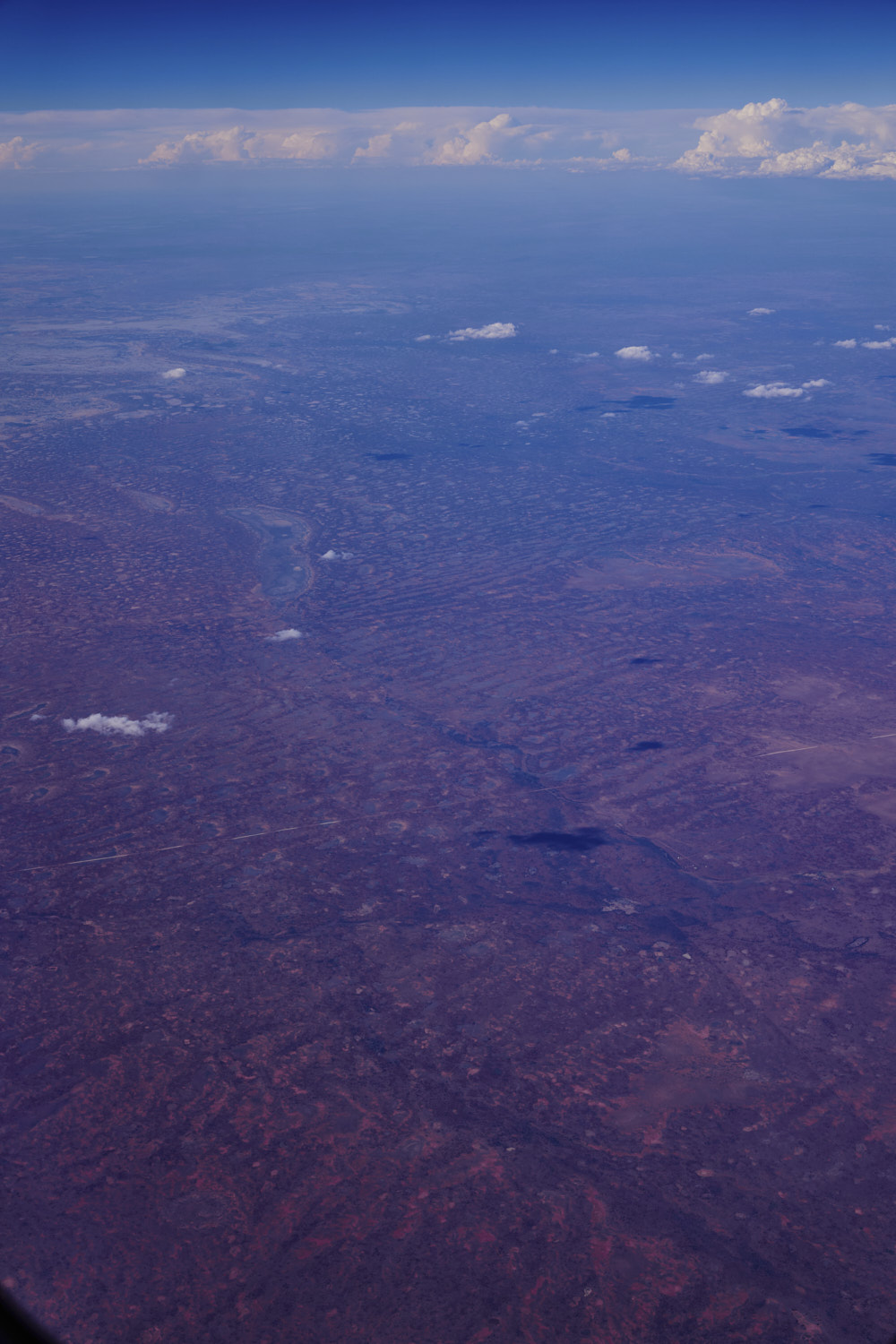 The line looks like a road, and it is called The Cut Line, crossing Blood Wood creek
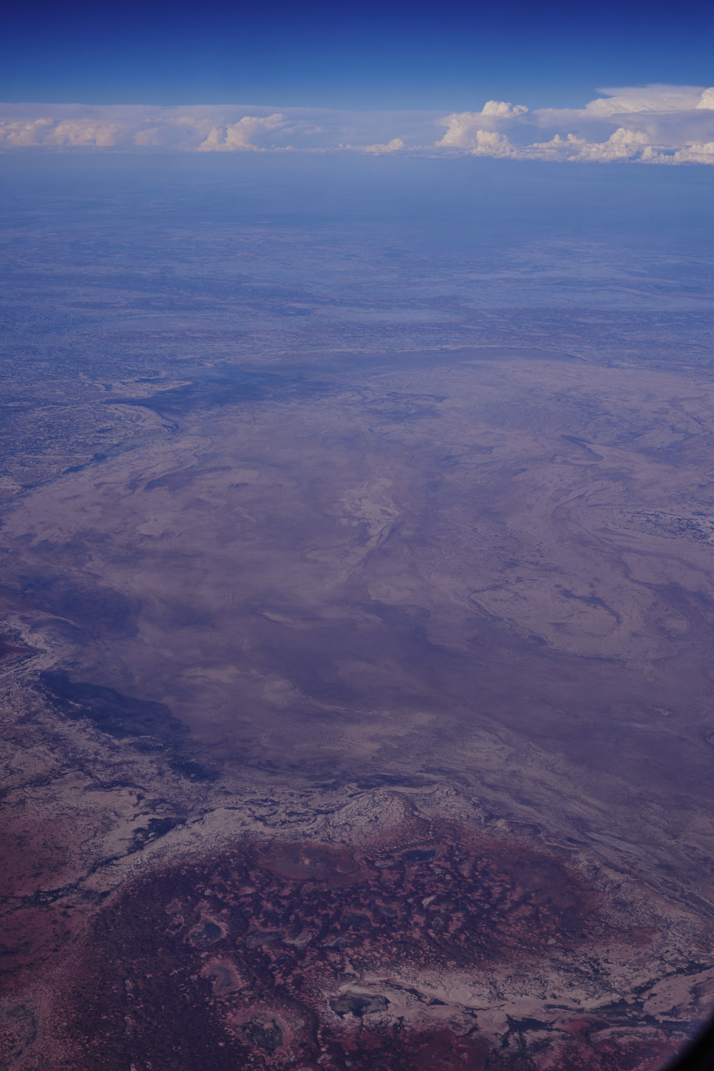 Pindera Downs, Wanaaring
 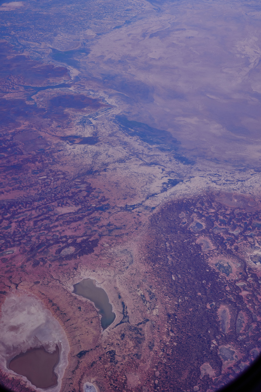 couple of lakes near wanaaring and Tibooburra
 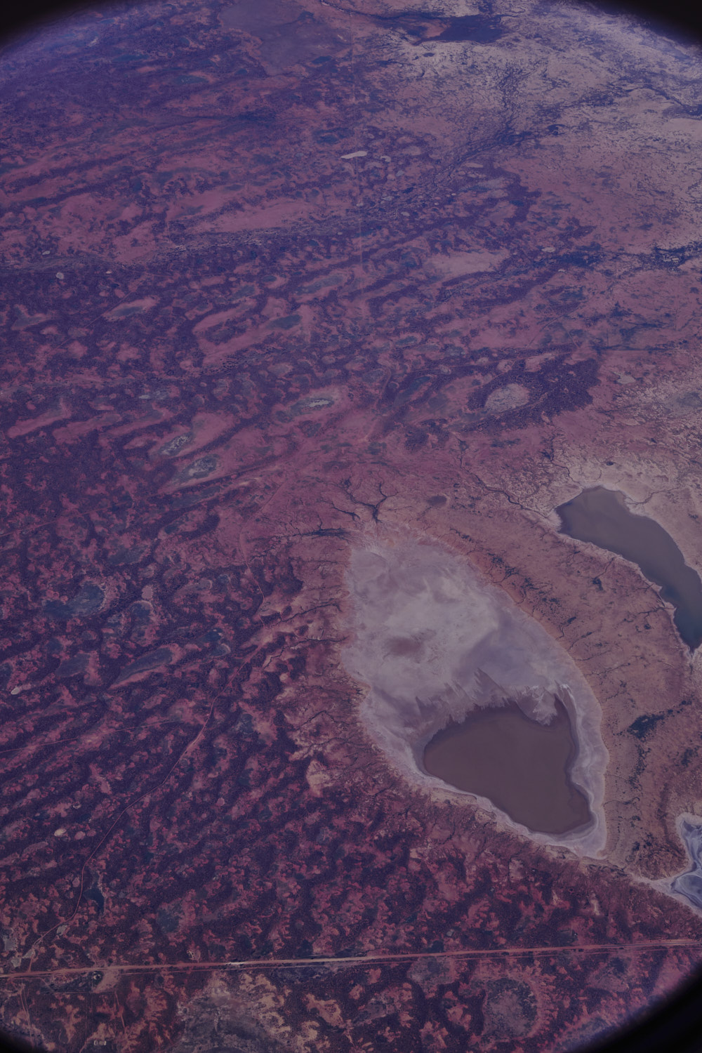 The Cut Line ( a road ? )
 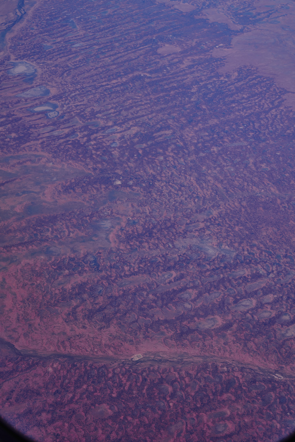 Two Mile Creek
 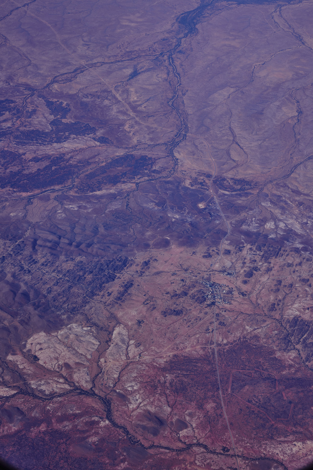 Tibooburra
 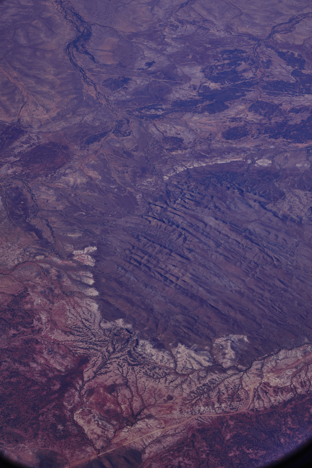 interesting rock formation just west of Tibooburra and Cameron Corner Road
 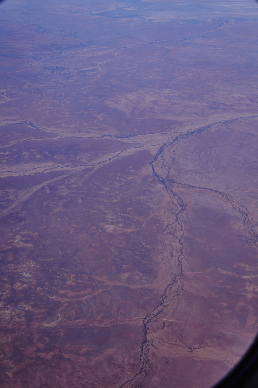 Connia, Ganya and 12 mile Creeks and Cameron corner road
 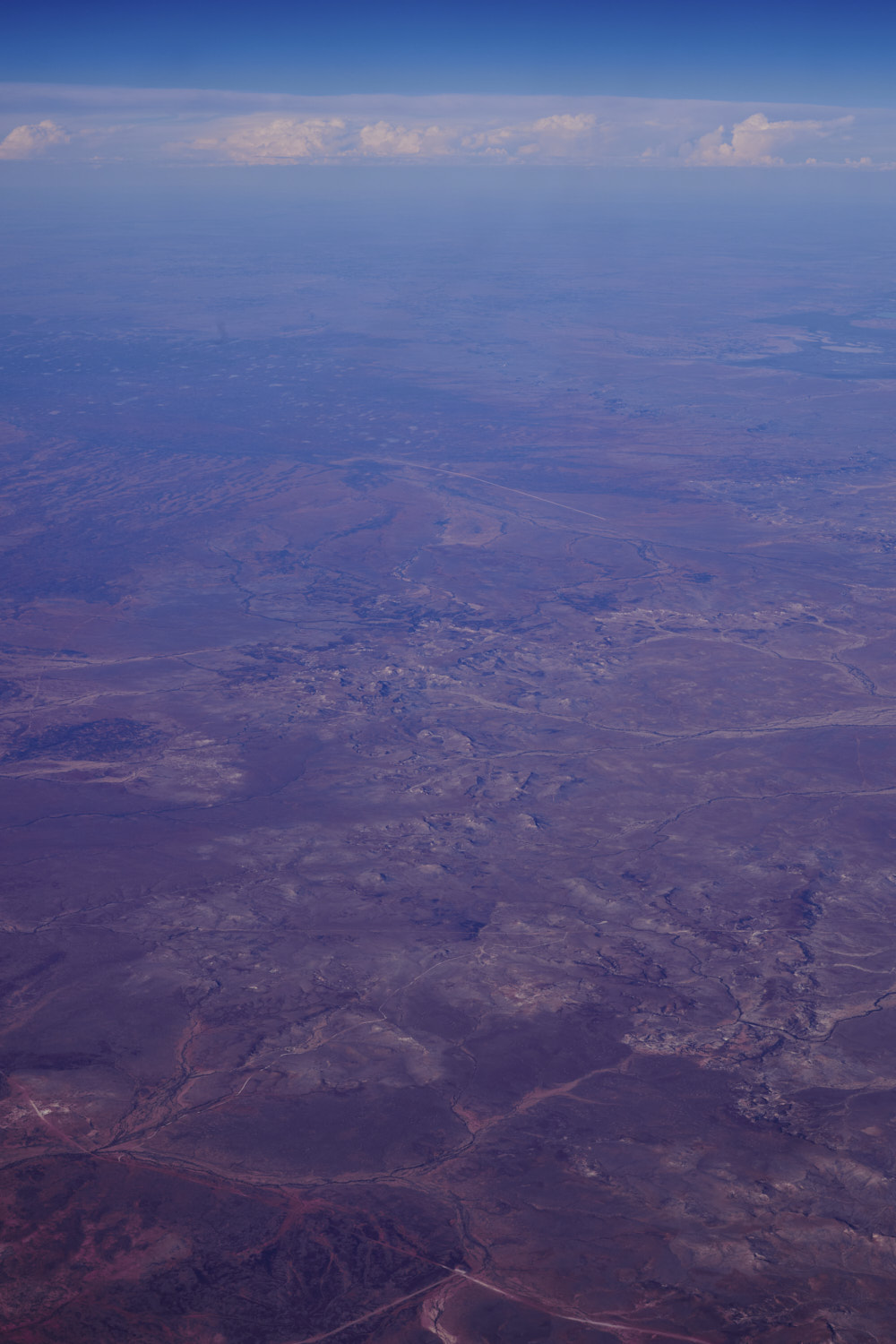 where Cameron Corner Road meets Toona Gate Road, and just about the top of the middle of the photo is the NSW Queensland border
 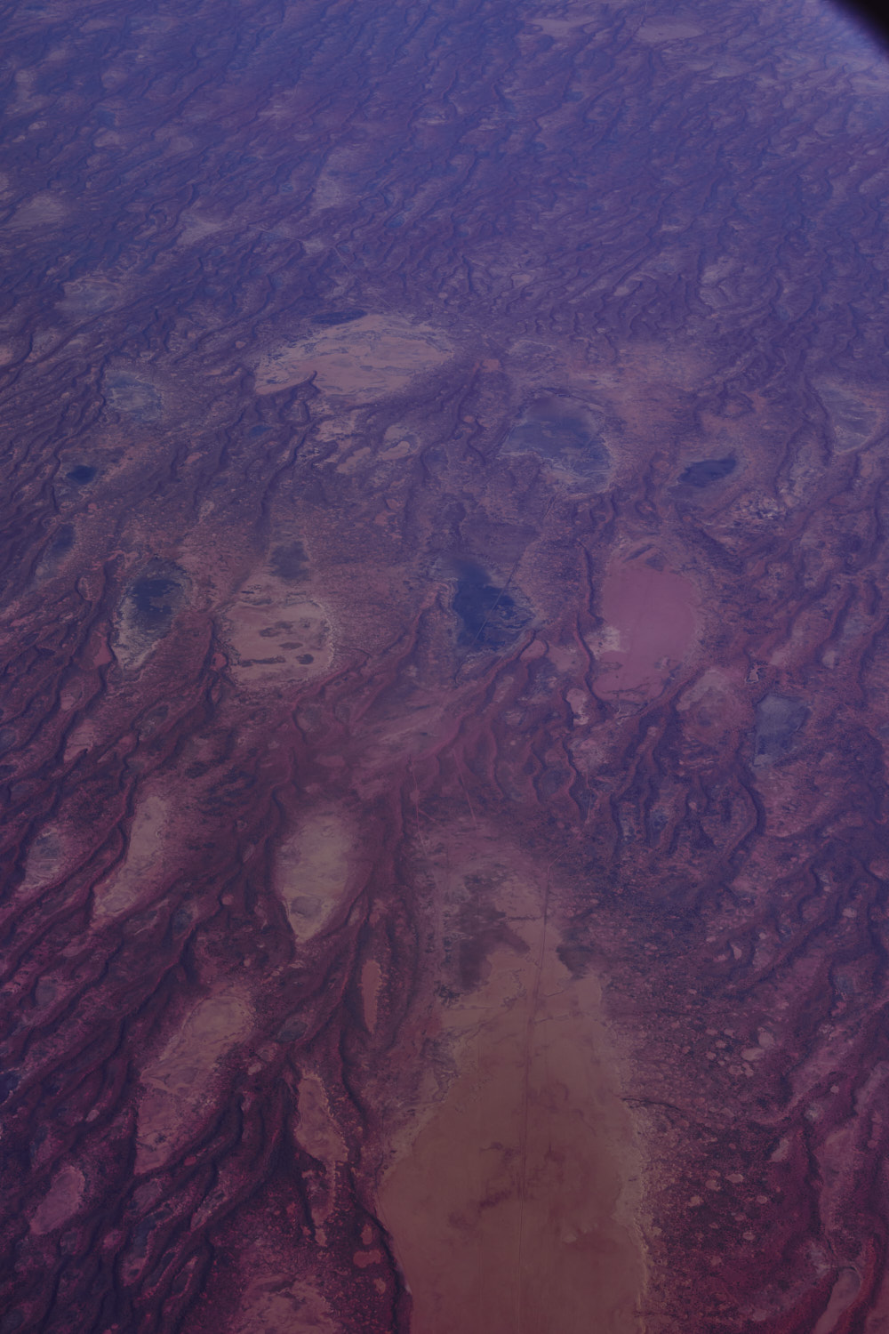 just past Cameron's corner ( borders of South Australia/NSW and Queensland, we fly over South Australia near Bollards Lagoon
 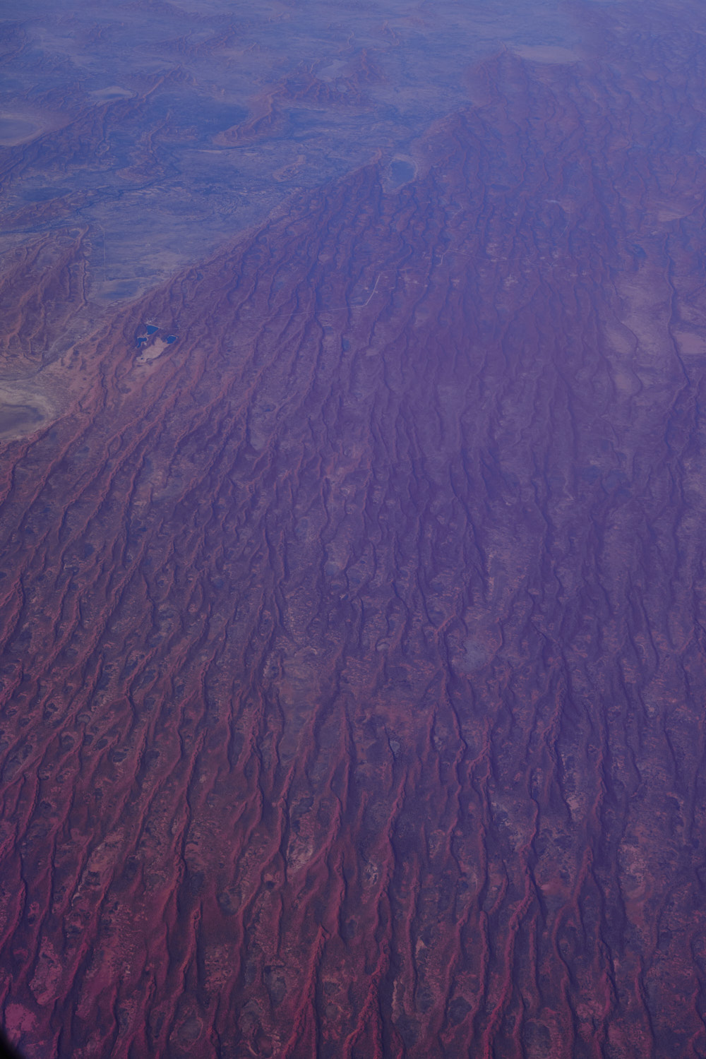 Merty Merty South Australia, and those red earth colours, amazing
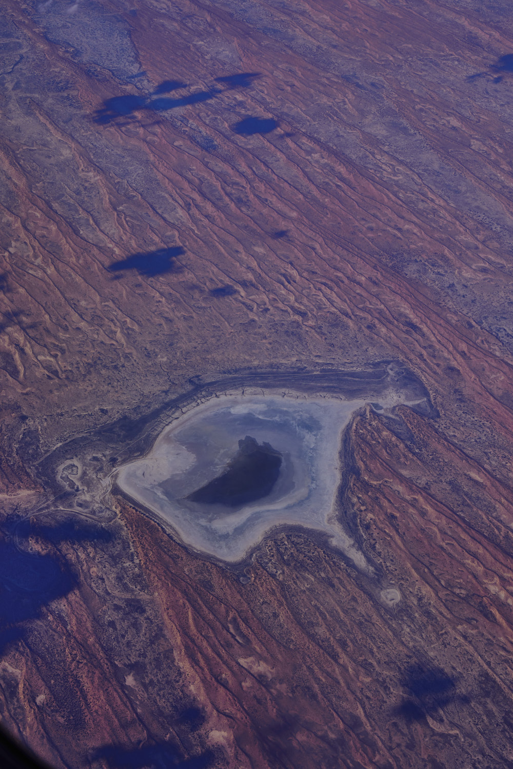
 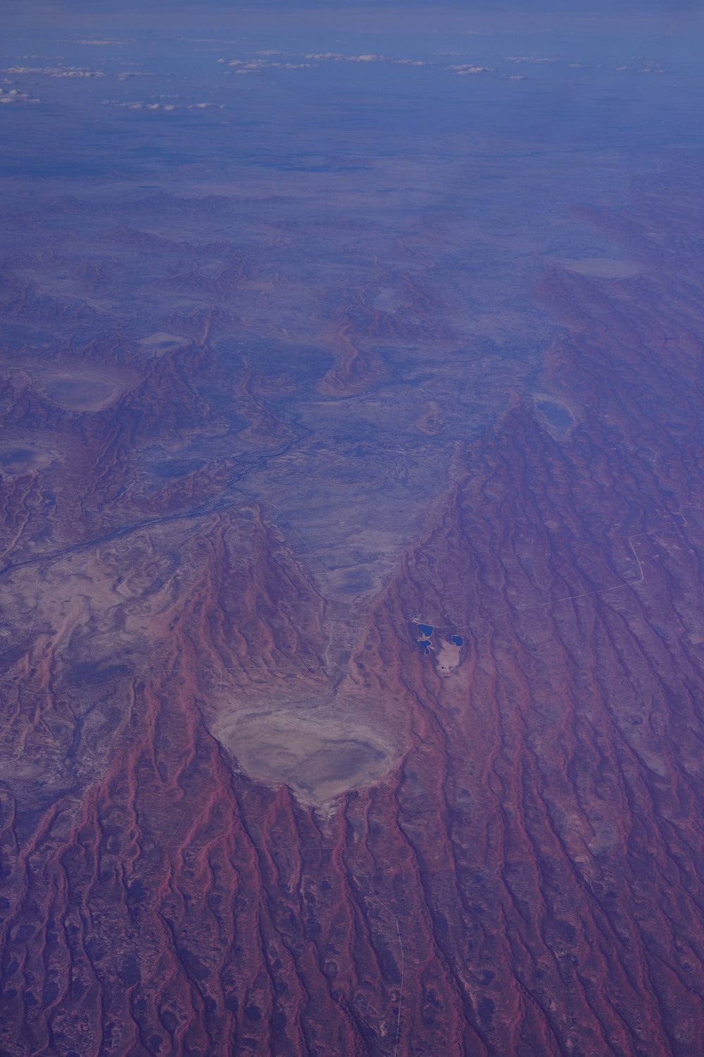 Lake Murteree
 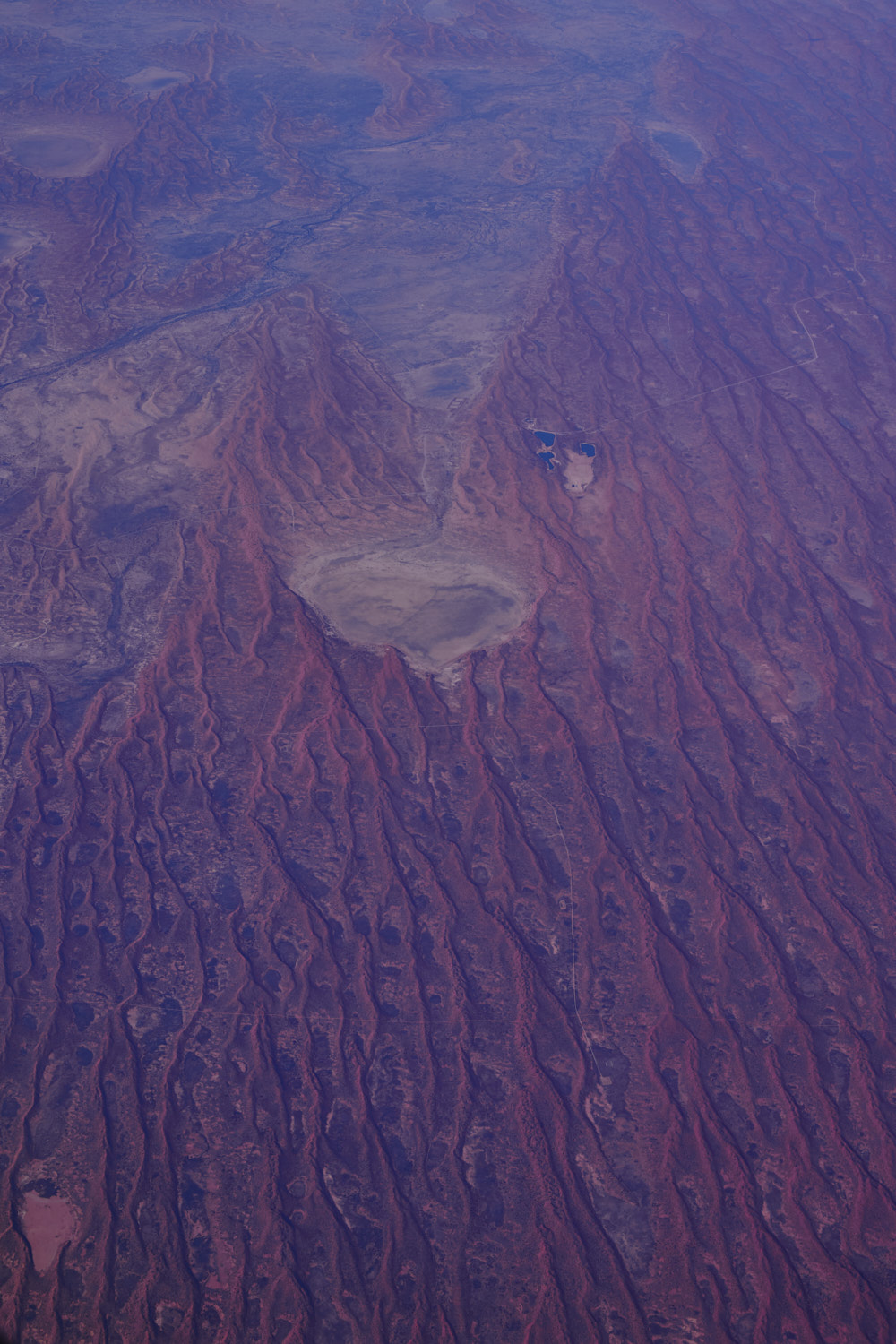 the colour ! Doesn't look like much down there, but when you zoom in on google earth, there are quite a few un named tracks and what appears to be mining activities, hope its not fracking
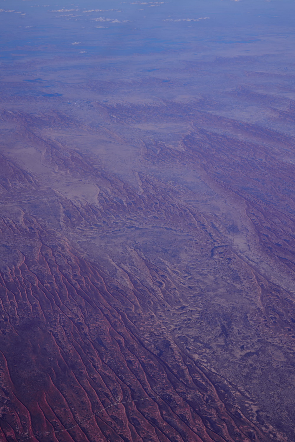 Riecks Road near Cameron Corner turn off
 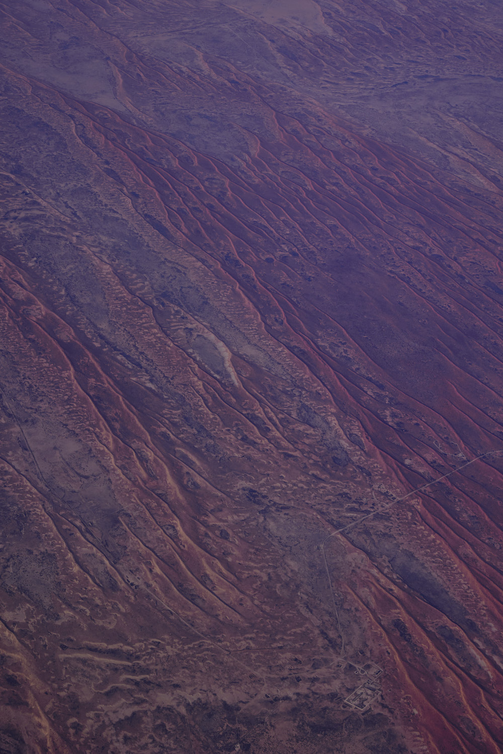 Strzelecki Desert
 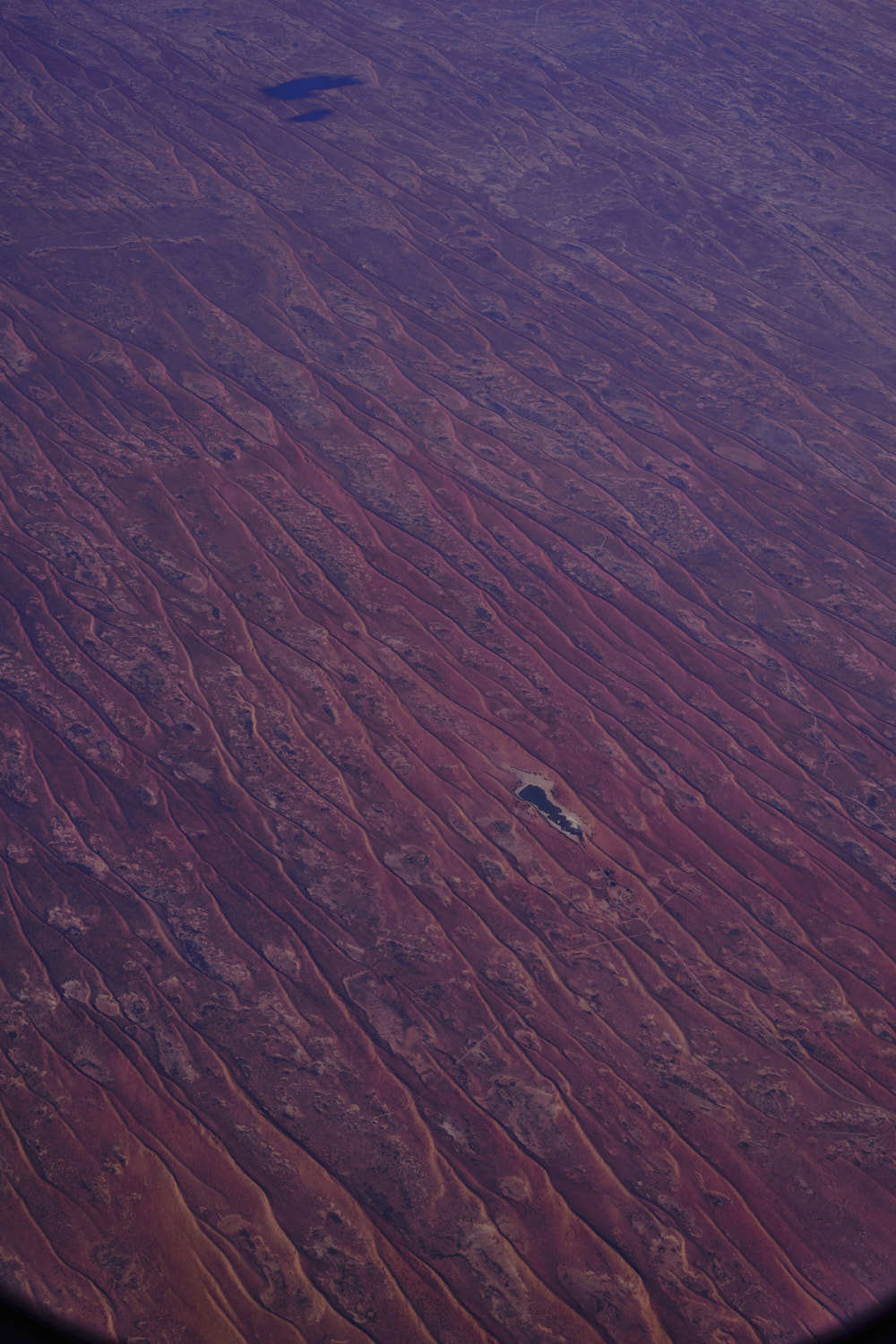 in the middle of Strzelecki Desert a welcome relief, but zoom in on google earth and looks like either a farm or mining activity just below it
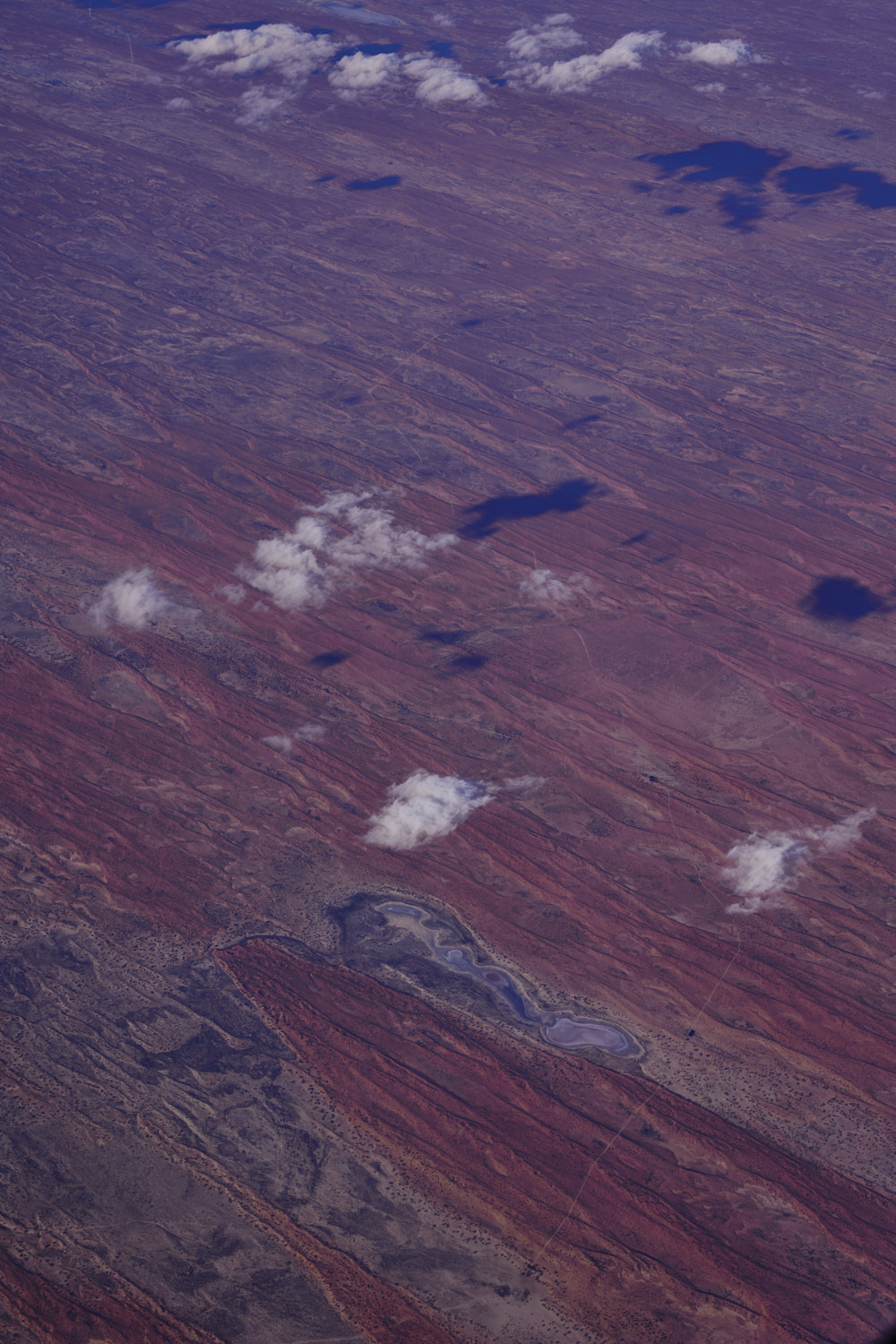 another dry lake bed and unsealed road/track near Mulka, still in South Australia
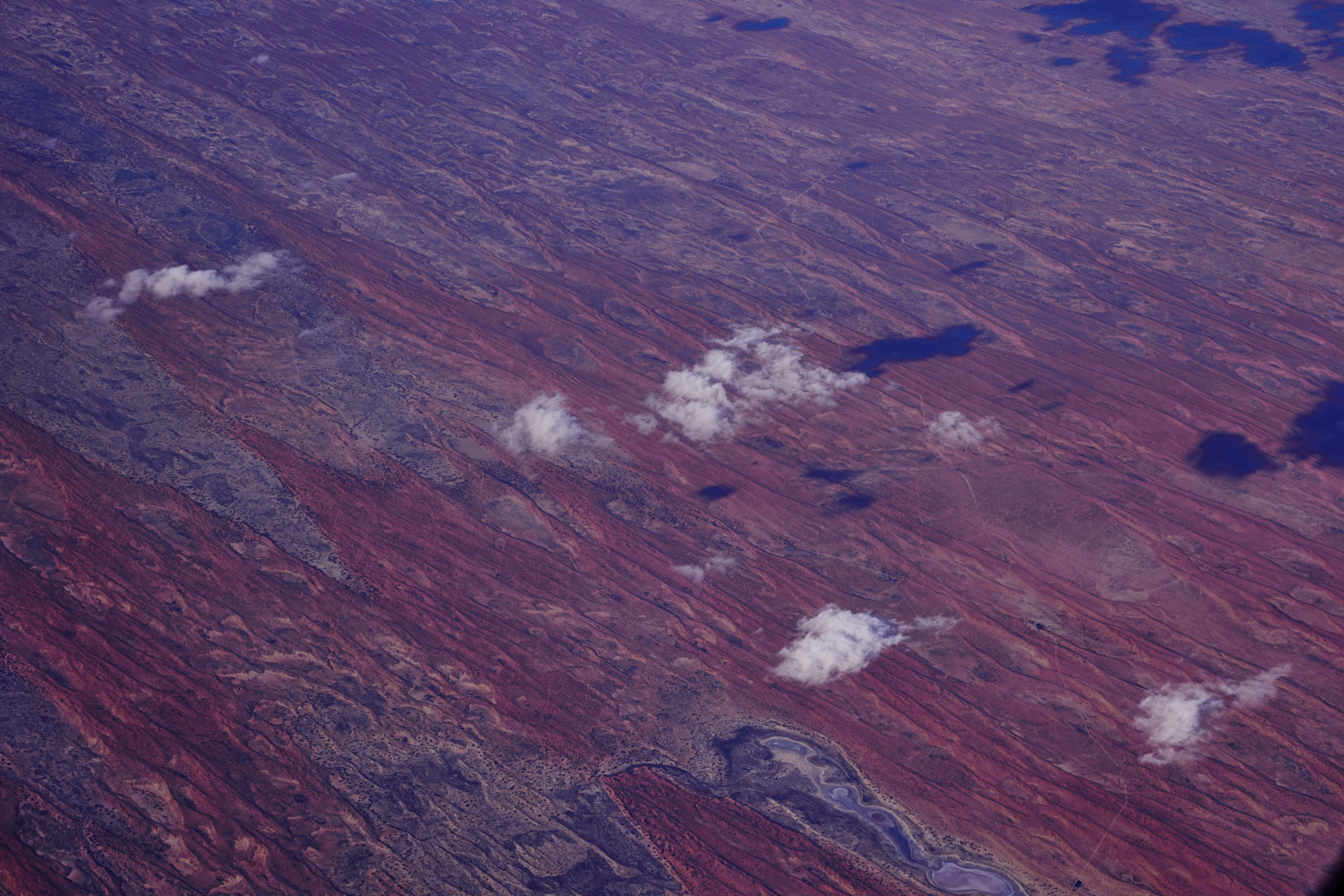
 Lake Warrakalanna
 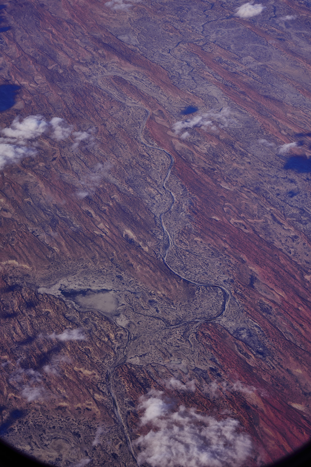 Cooper Creek
 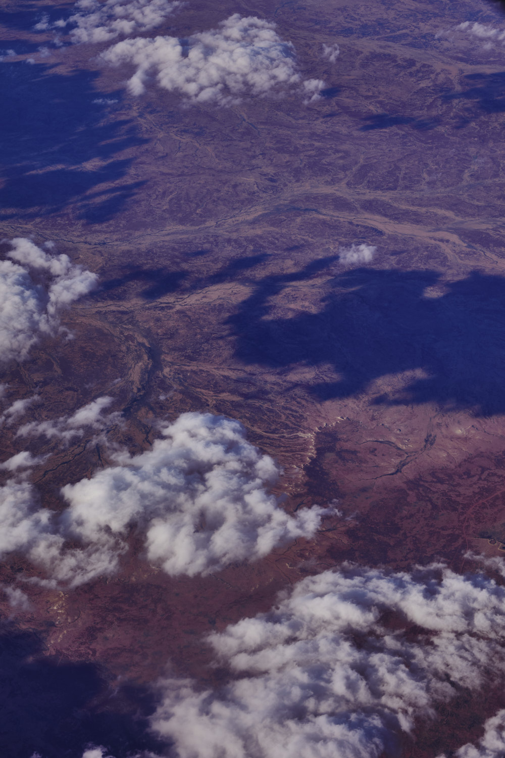 Mungeranie, south Austrlalia, near Jack Dam
 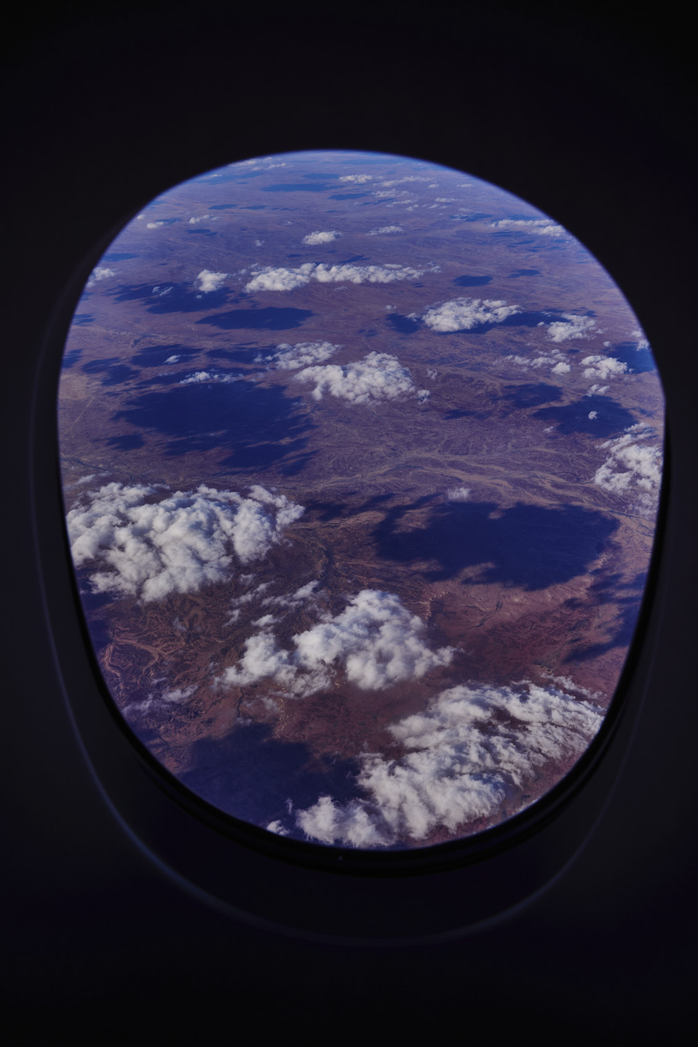 near Birdsville Track
 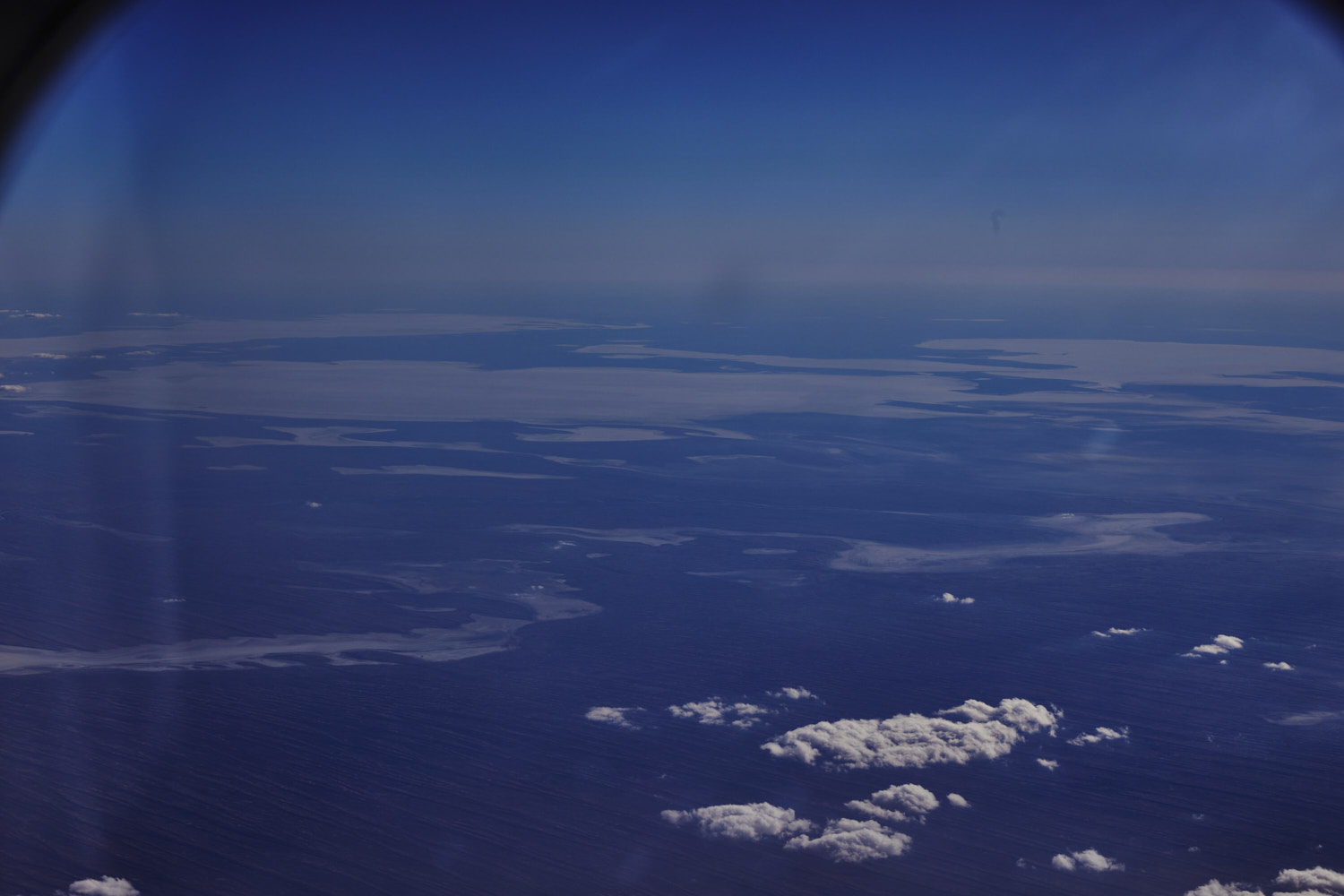 quick skip to left side of plane to see the north side of Lake Eyre
 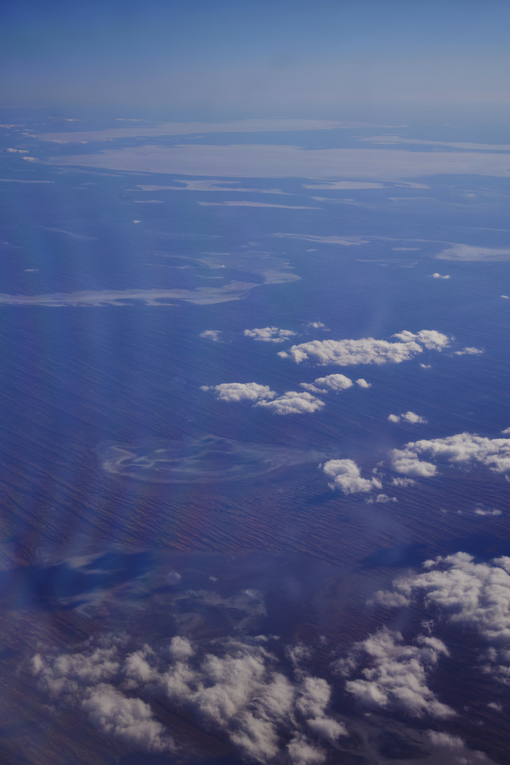 Lake Mulapula and Lake Koolkootinnie
 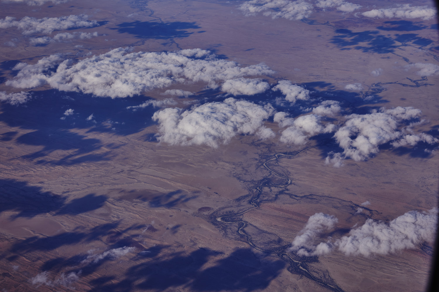 near Toopawarrina watering hole, Kallakina Creek ( had a flight to Alice Springs 10 years ago, and I feel like I am roughly on the same path, just 150 km or so further south, have a look )
 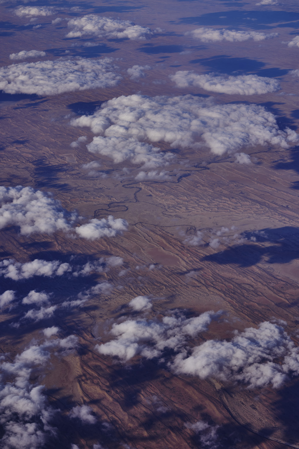 Start of the Simpson desert near Tillawatinna Watering hole
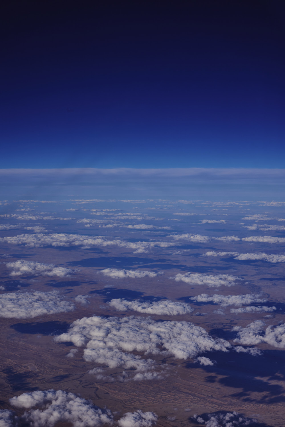 patchy clouds over the Simpson desert
 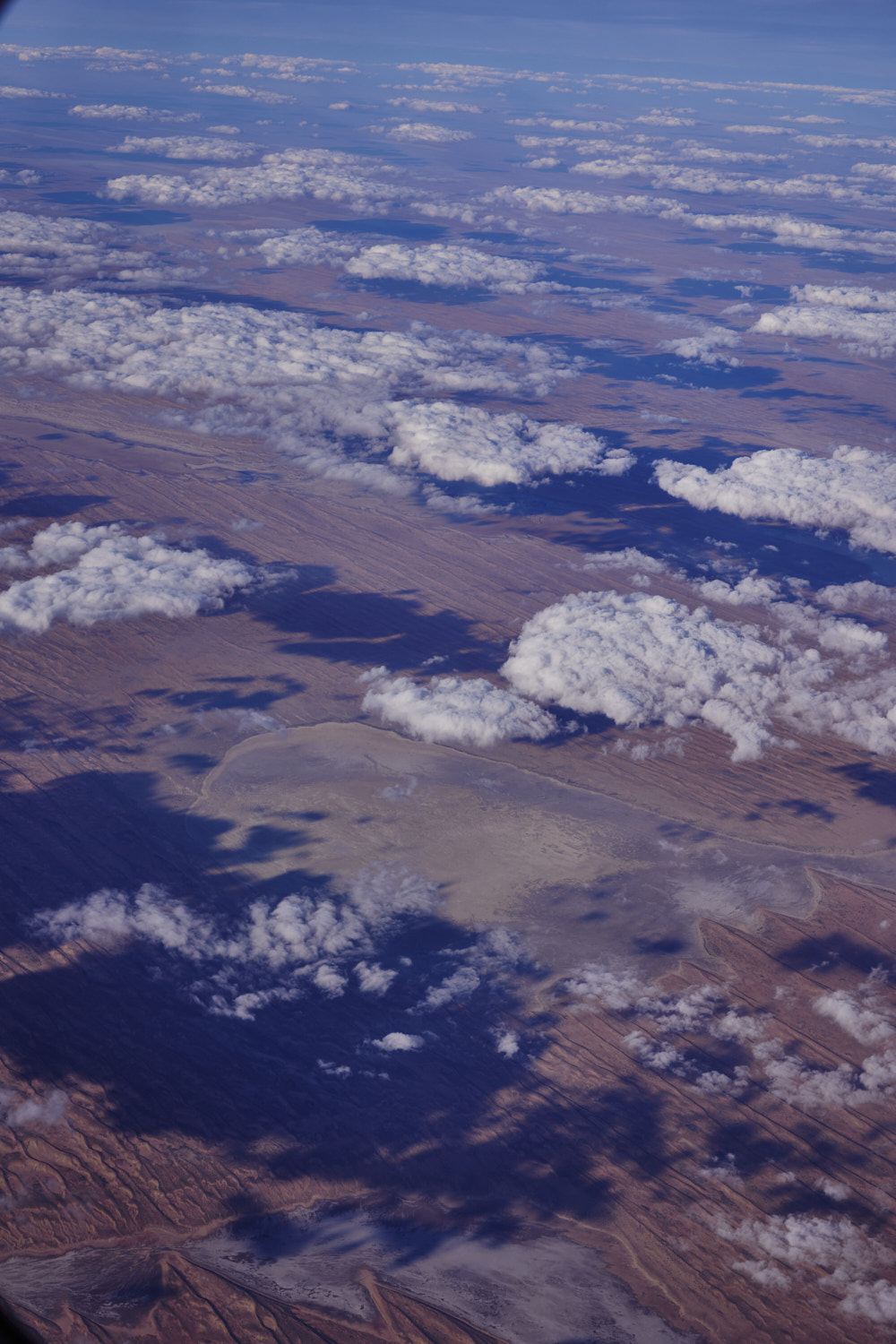 no name and Lake Pantoowarinna
 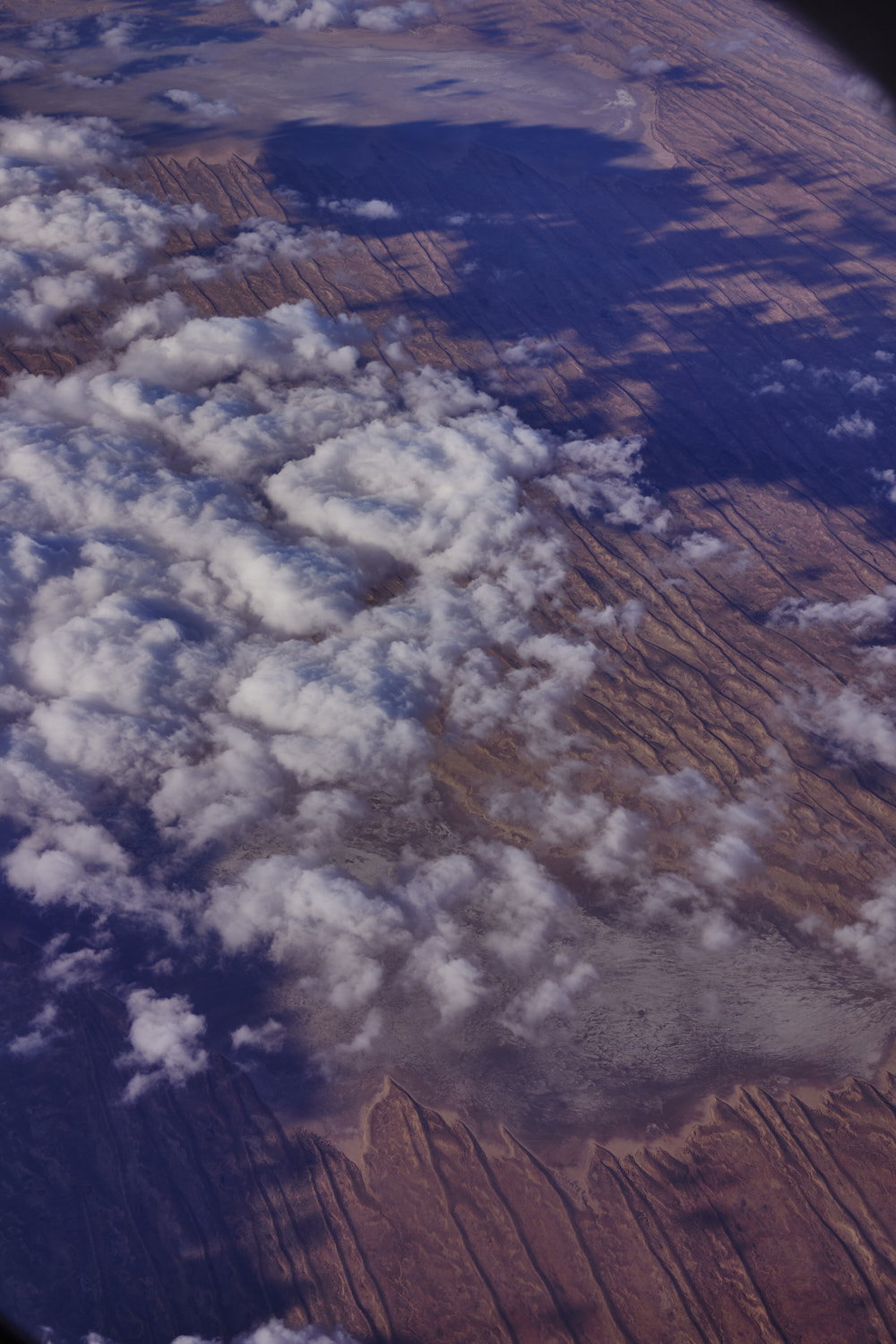 Lake Willawilannina & Lake Pantoowarinna
 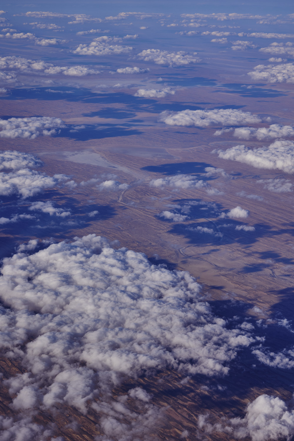 Lake Umarcona
 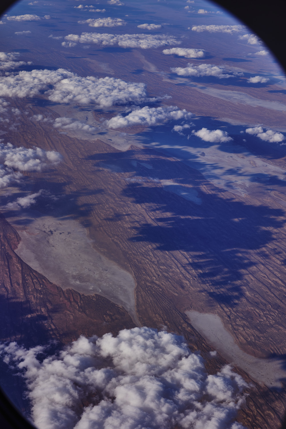 Lake Griselda in the middle surrounded by so many other lakes with no names
 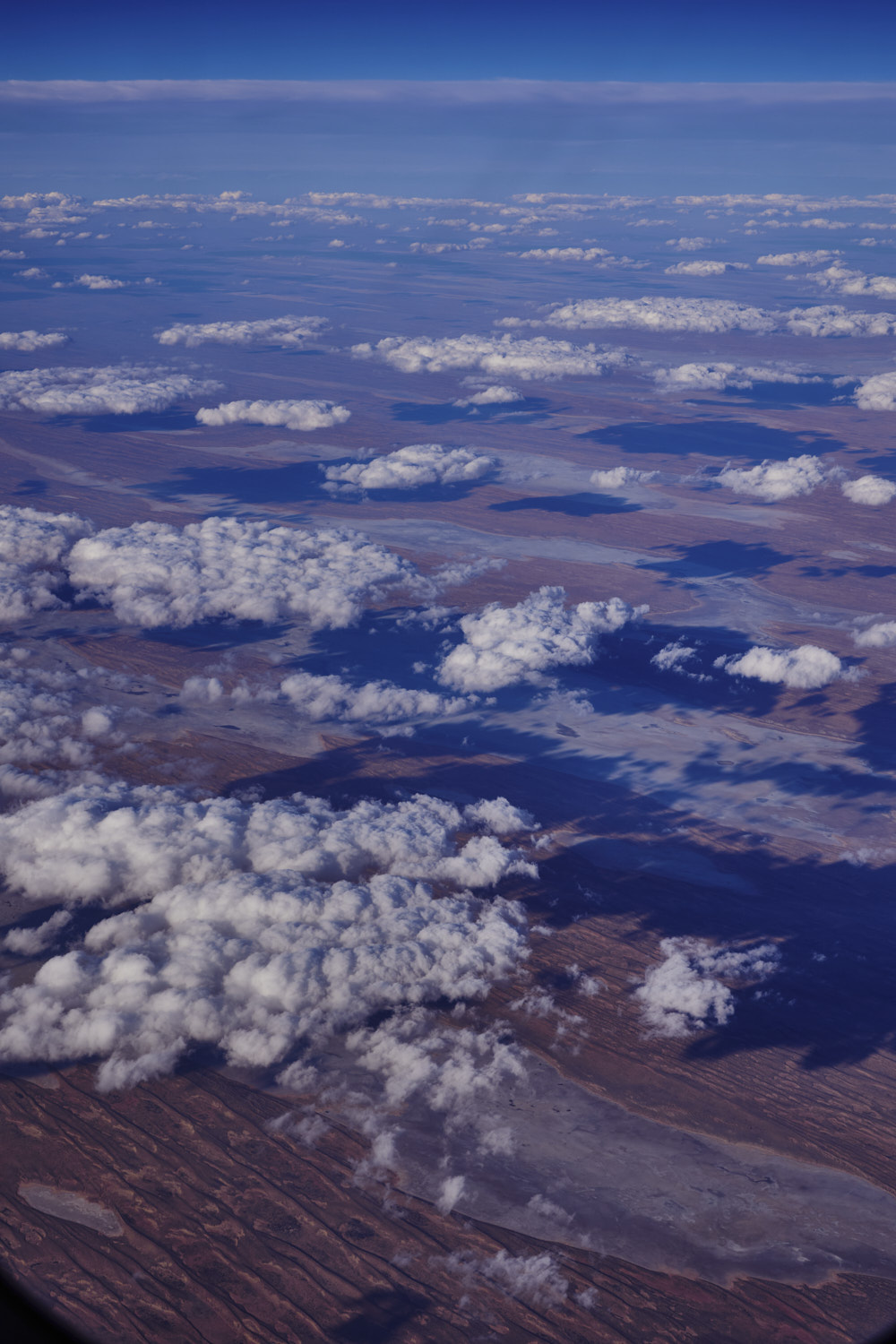 last of the lakes and flying over the Simpson desert from South Australia into the Northern Territory
 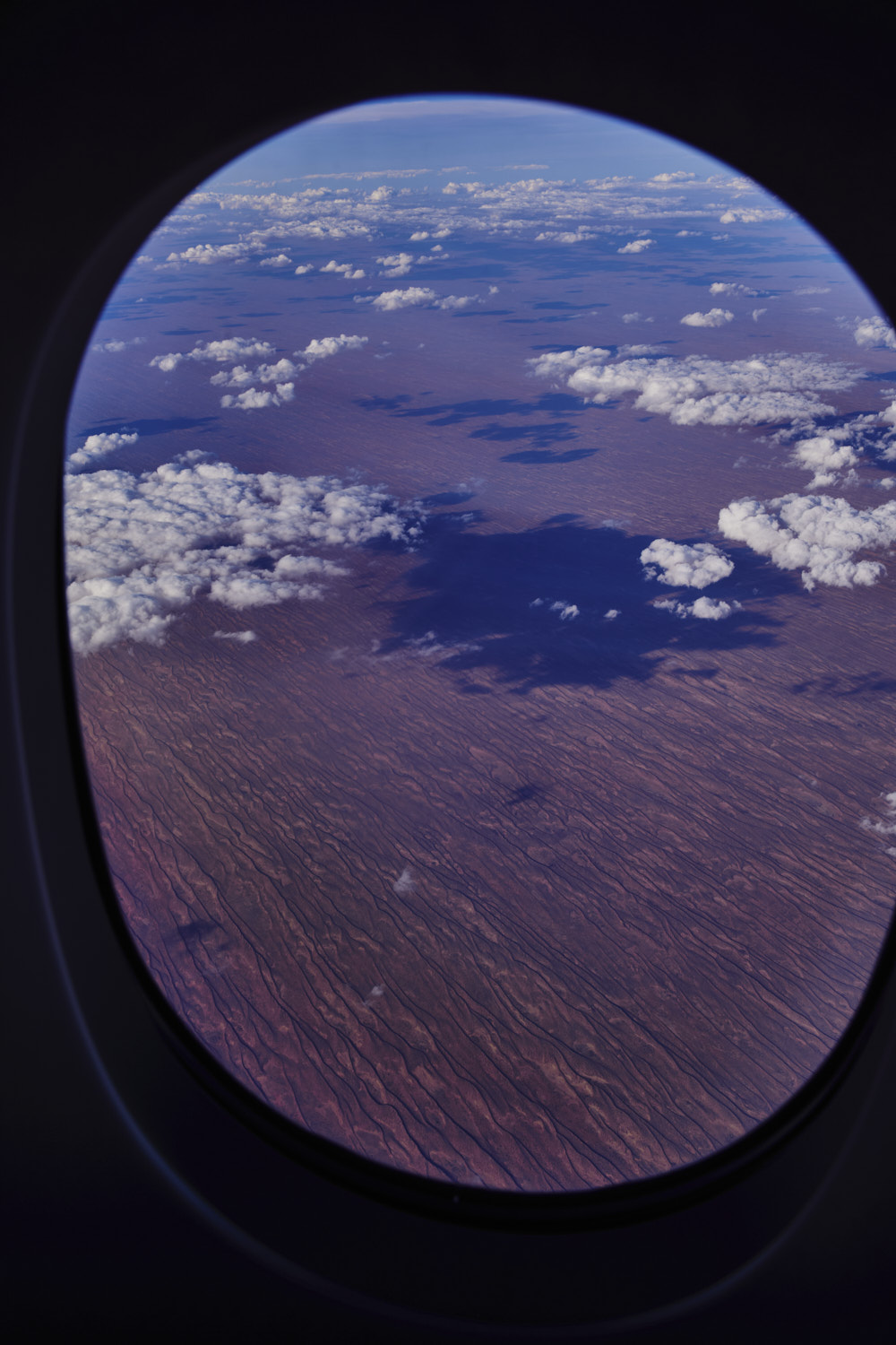 The great Simpson desert
 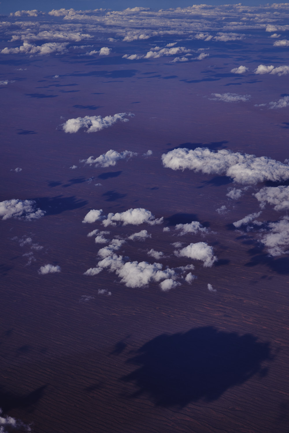 you do not want to be stuck out here, this desert is the size of Germany
 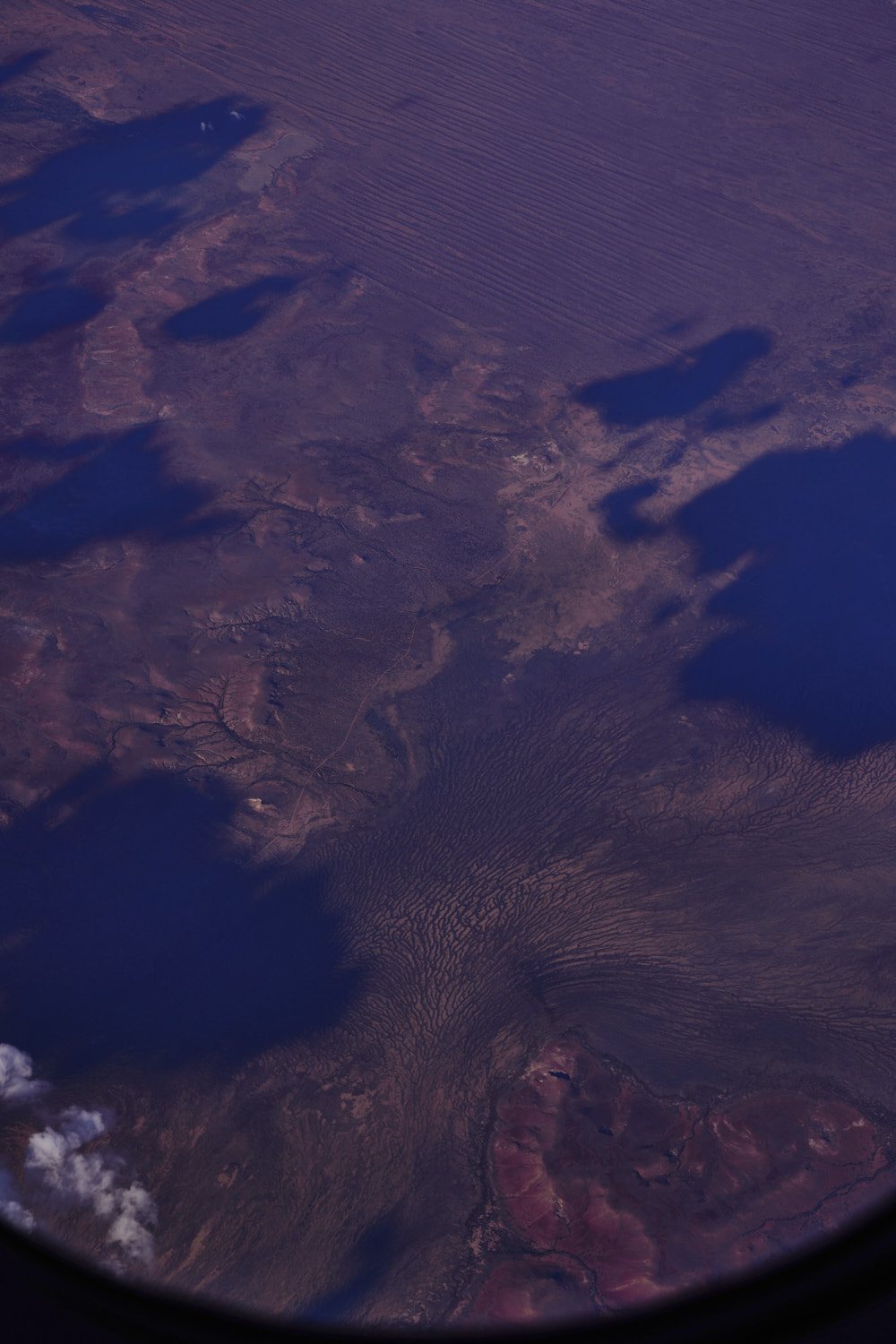 Witjira
 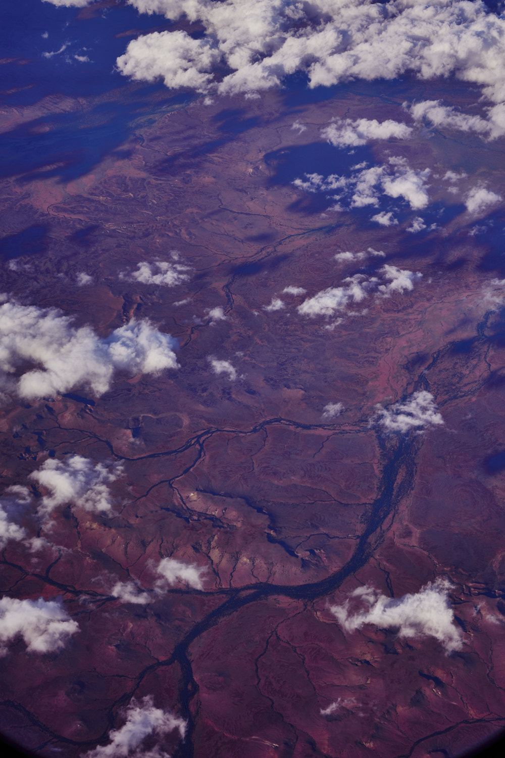 about 10km out from crossing into Northern Territory
 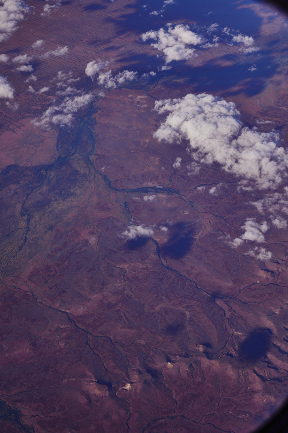 5km
5km 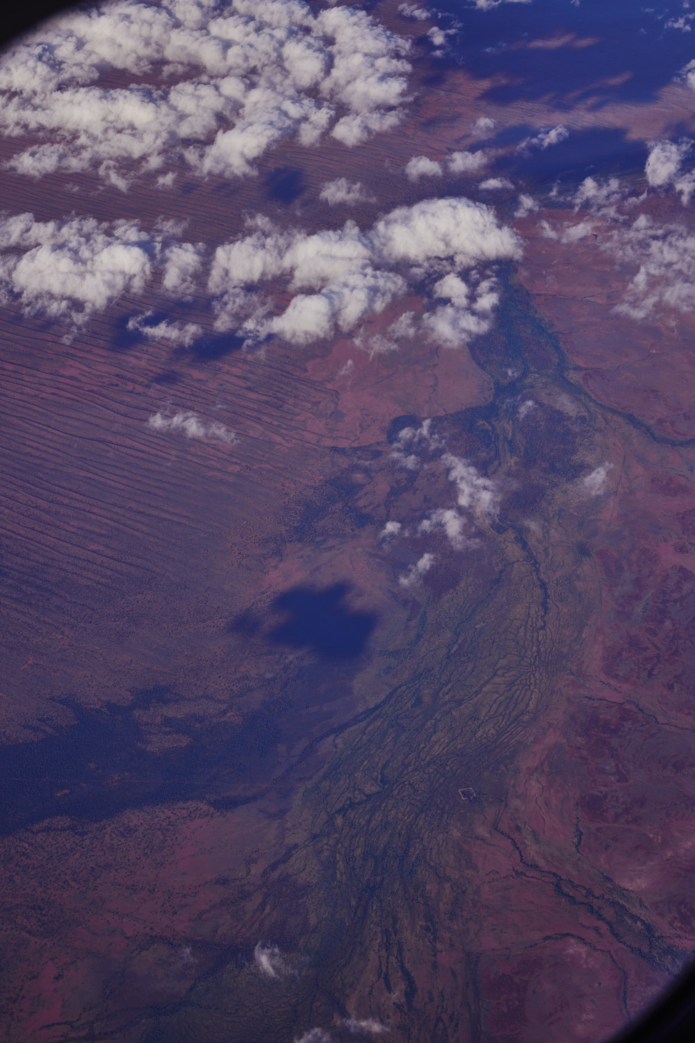 Oomboomina creek, The Abminga and Boomika Dam
 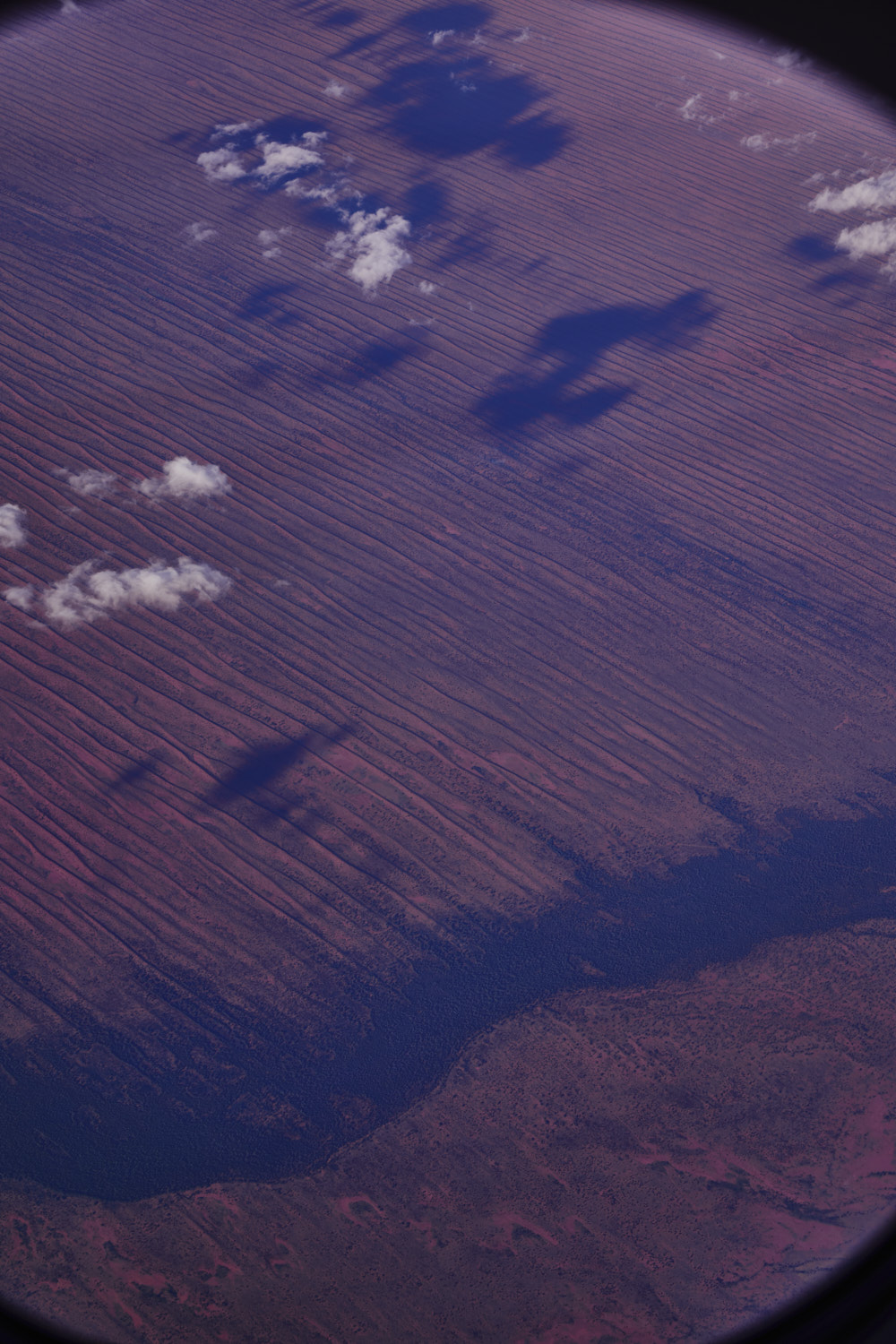 middle of photo is the border
 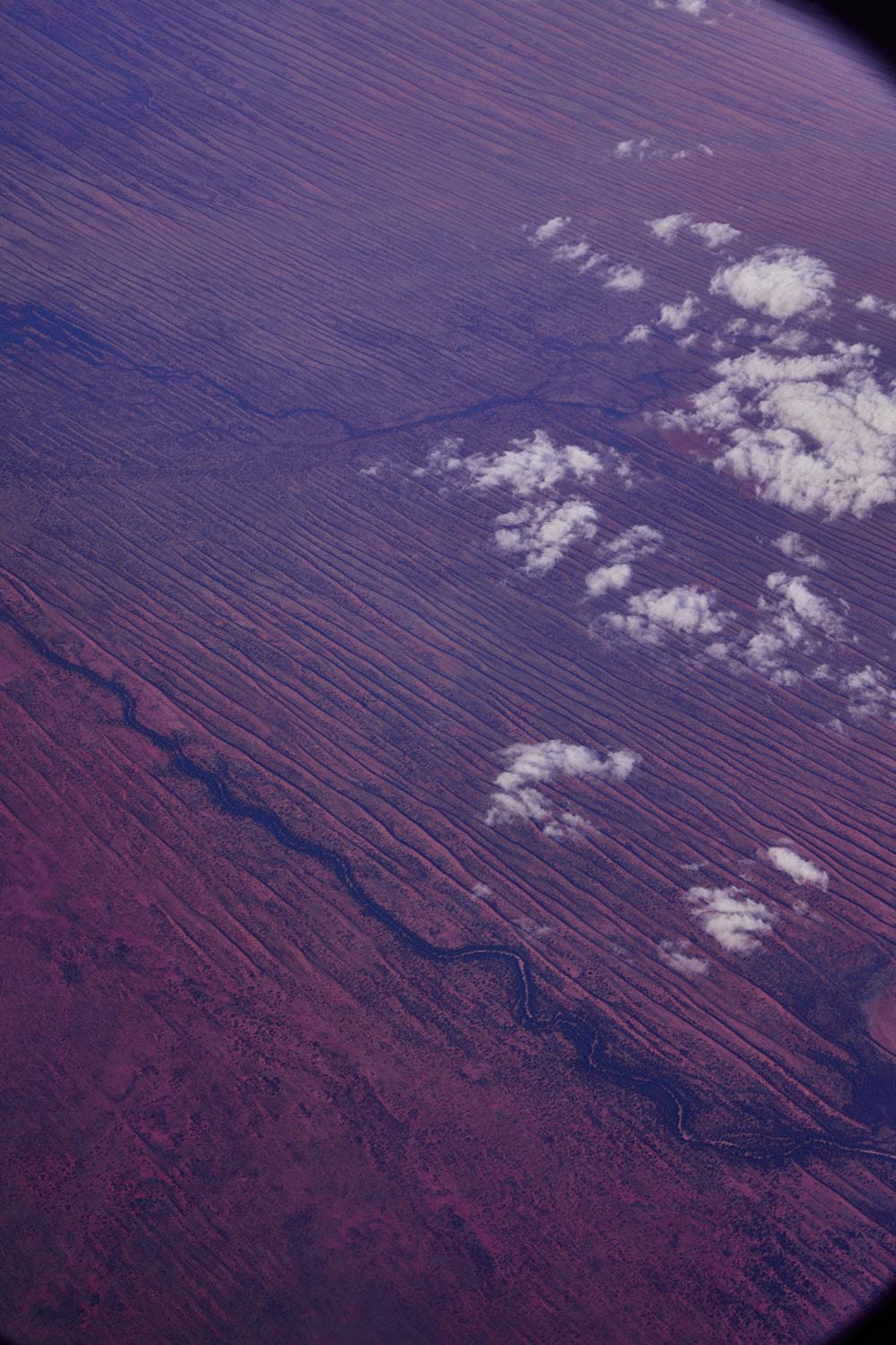 directly over the border near the Binns Track border crossing
 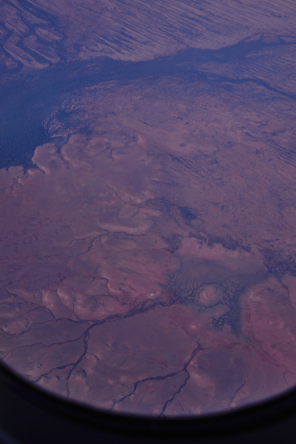 Mt Dare track runs through there
 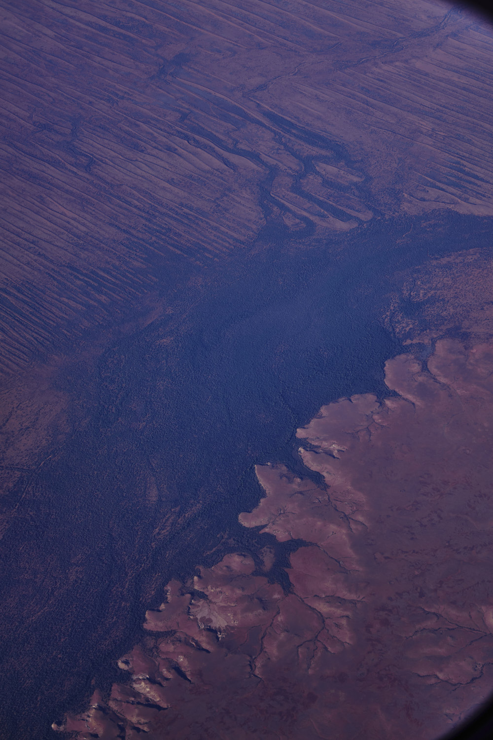 no place names
 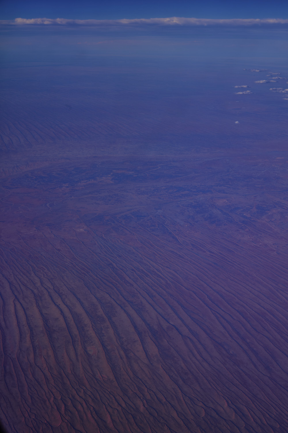 Just north of Finke River
 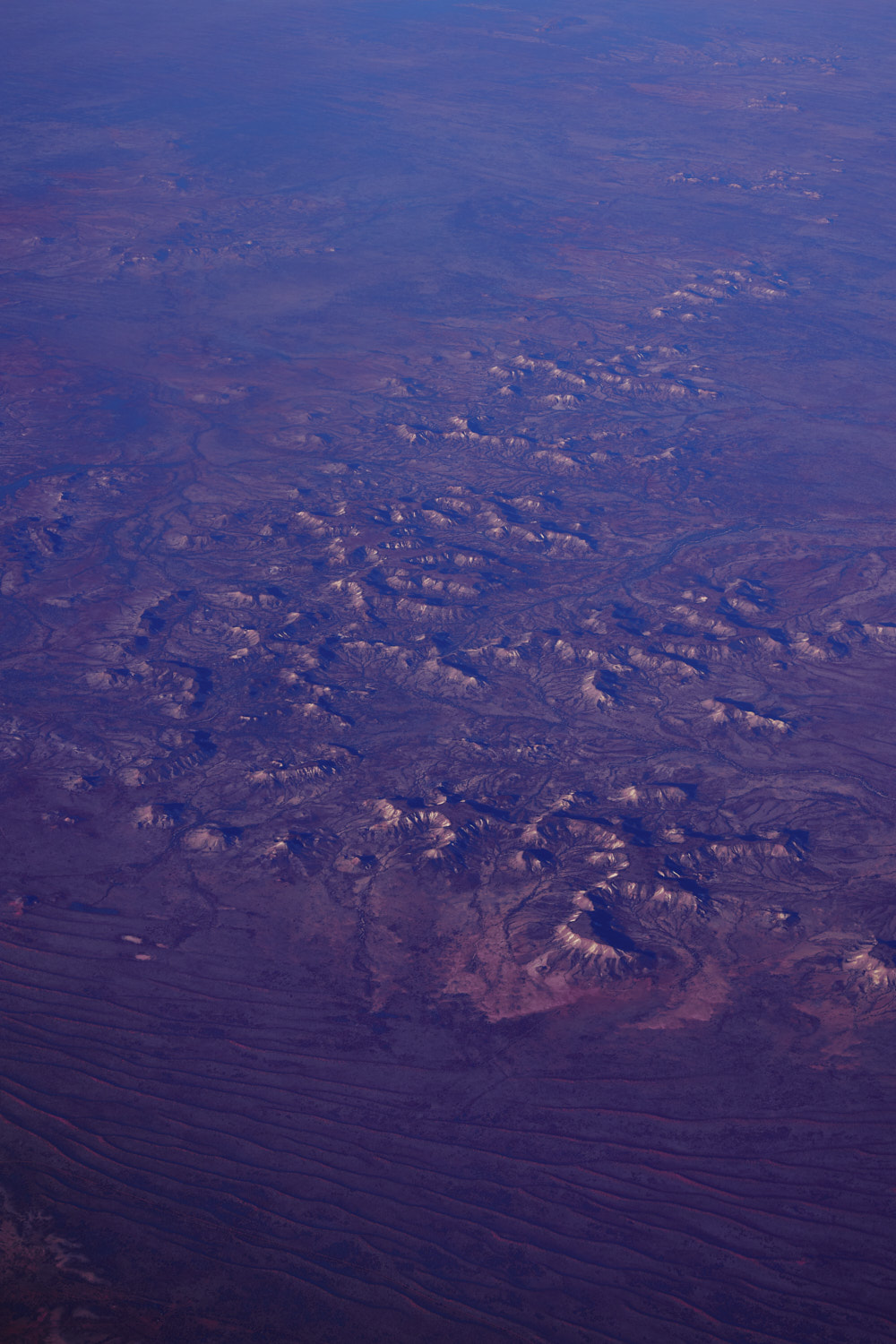 interesting landscape, but again, no place names
 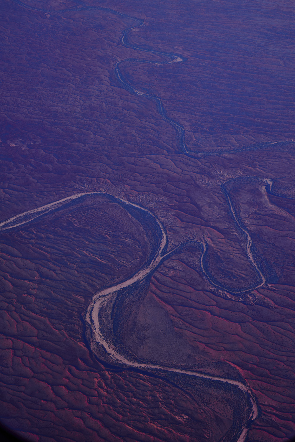 Finke & Hugh River Junction
 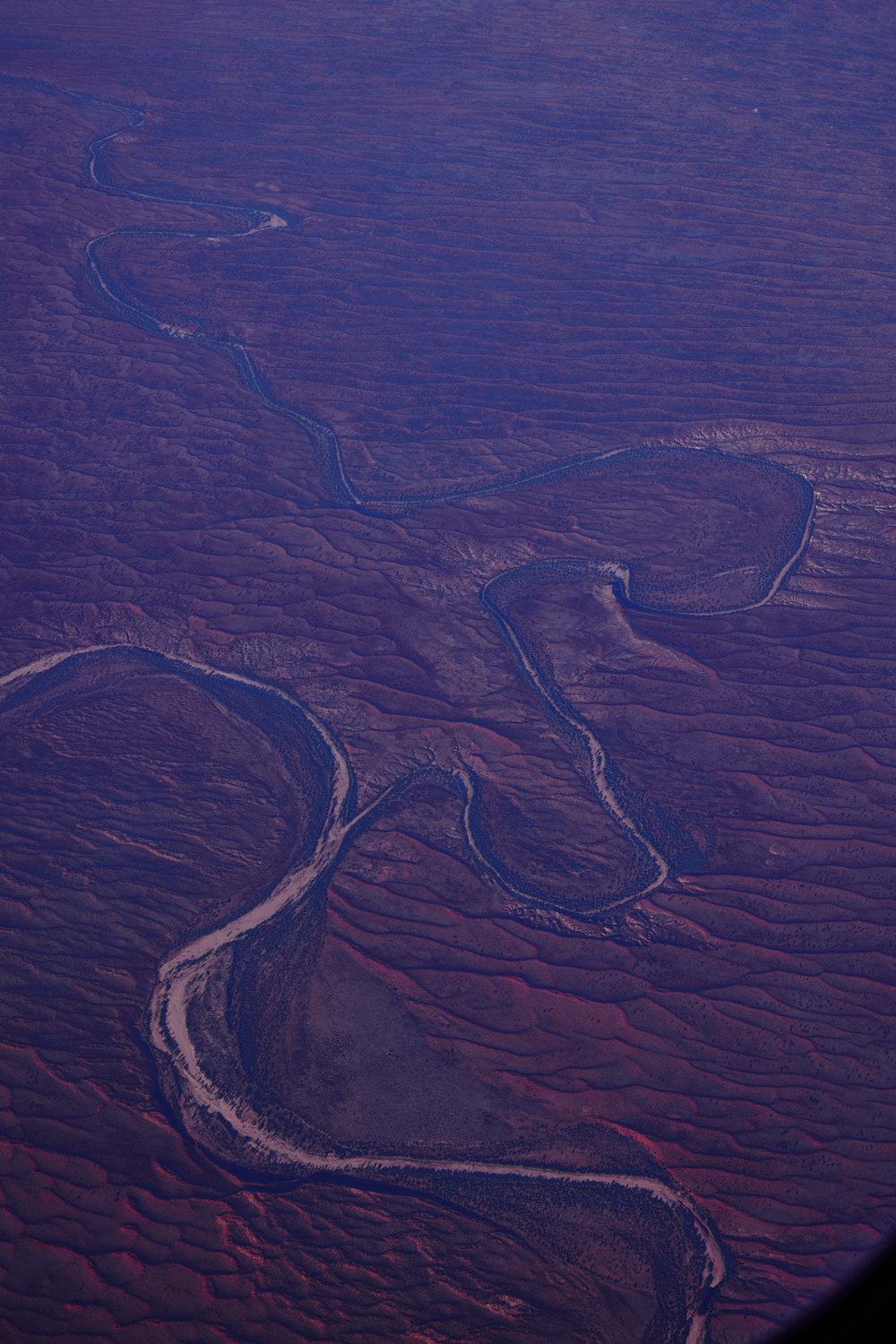 but looks to be dry as a bone
 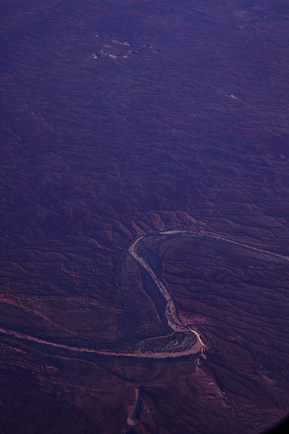 just below Titjikala, population from 2011 census, 201
 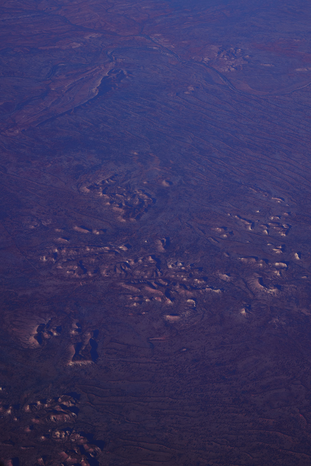 Titjikala at the top of the photo
 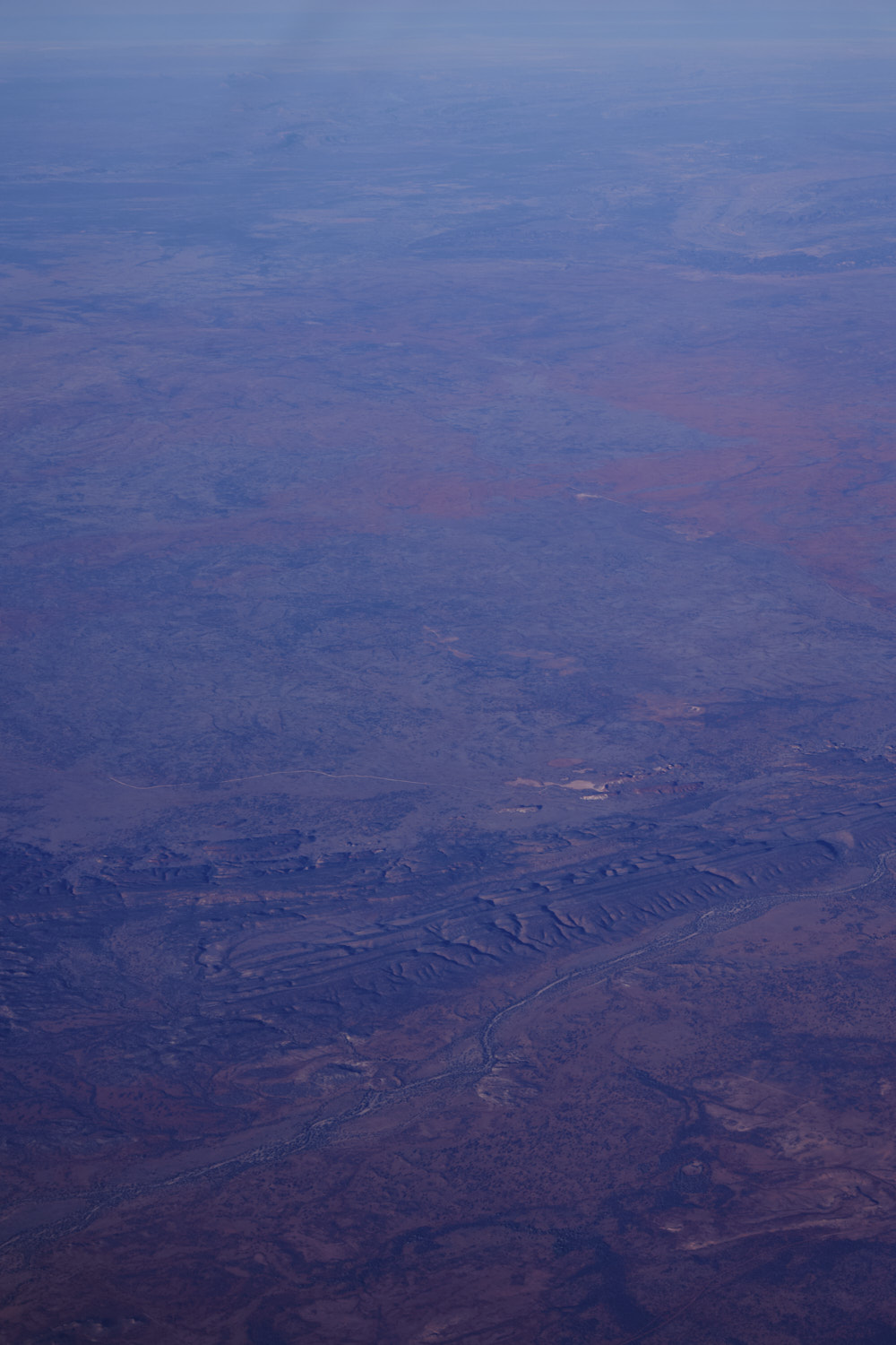 Hugh River near Rainbow Valley conservation reserve. Rainbow valley is where I did a shoot 10 years ago on the claypans ( you can just see them ) here is a post of my first location check out to the claypan , I was there to do a shoot for Australian Fashion Label, Blessed Are the meek
 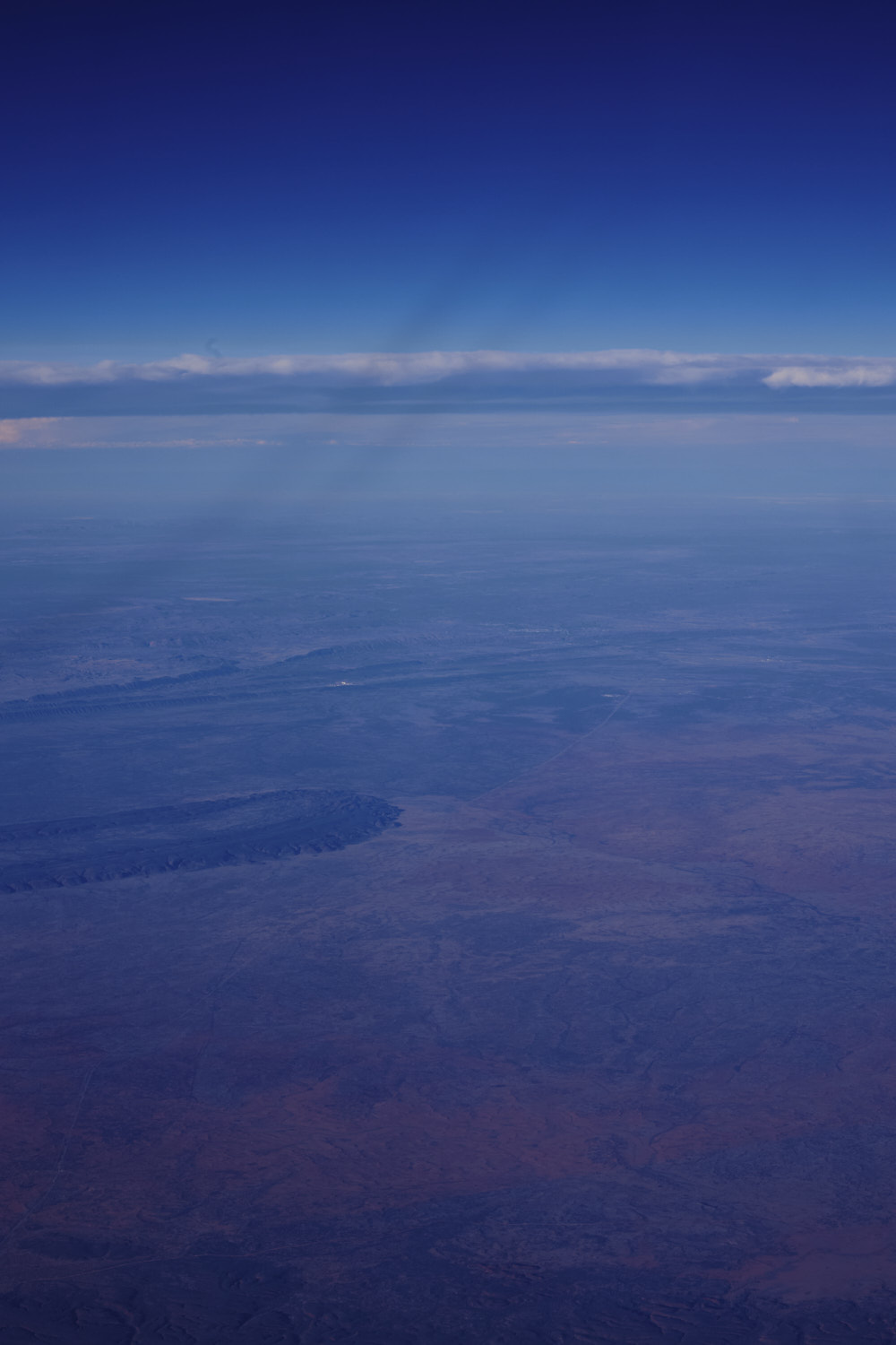 Stuart Highway running North
 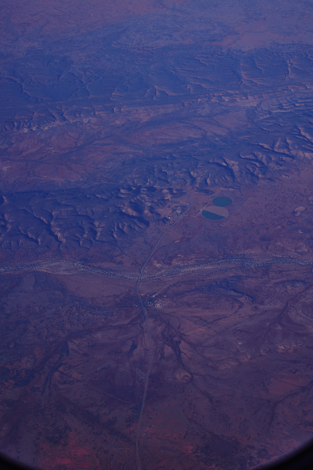 Stuart Highway crossing Orange Creek, big cattle station,� Stuarts Well Roadhouse & Caravan Park and across the road the Orange Creek Lucerne Farm
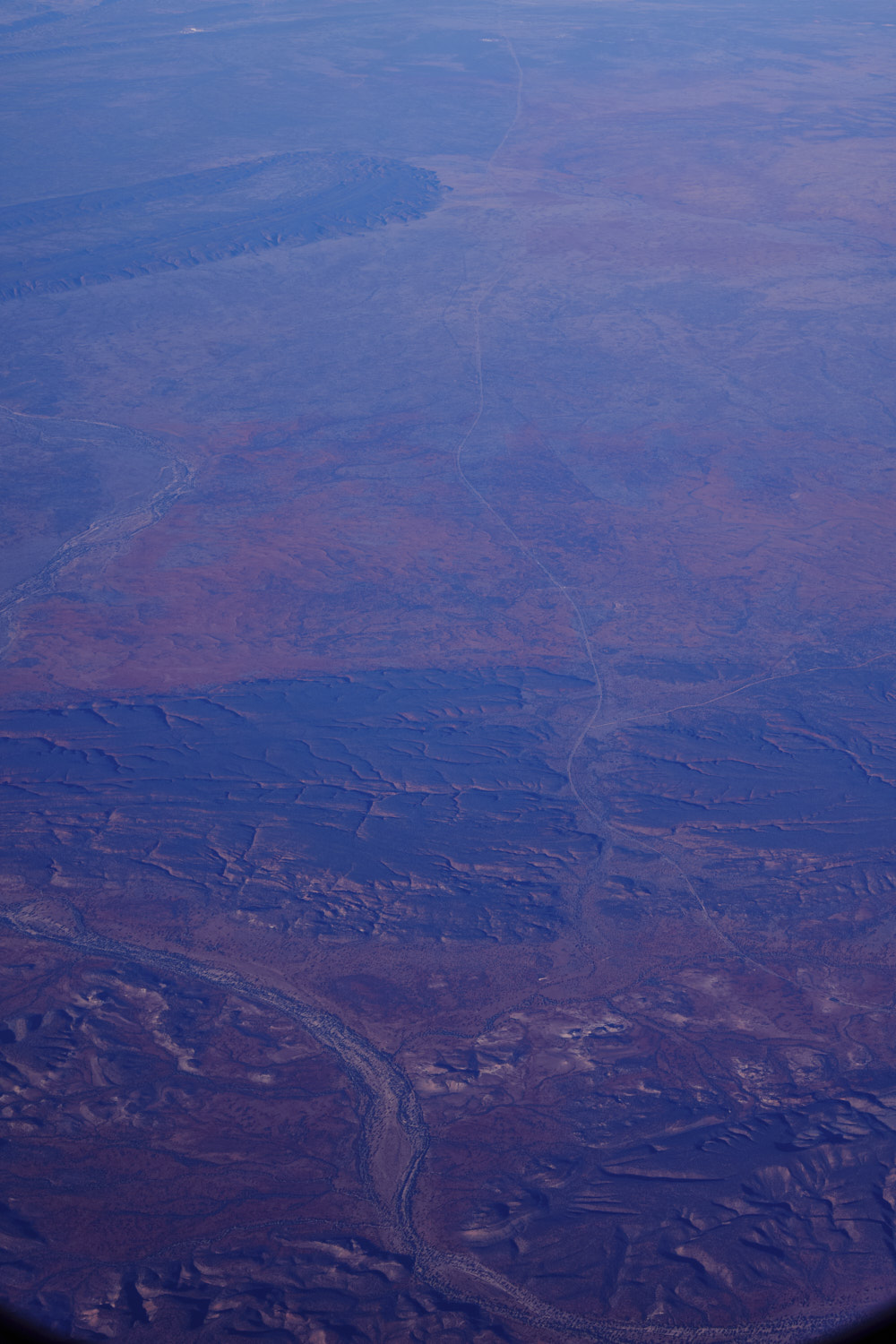 so remote
 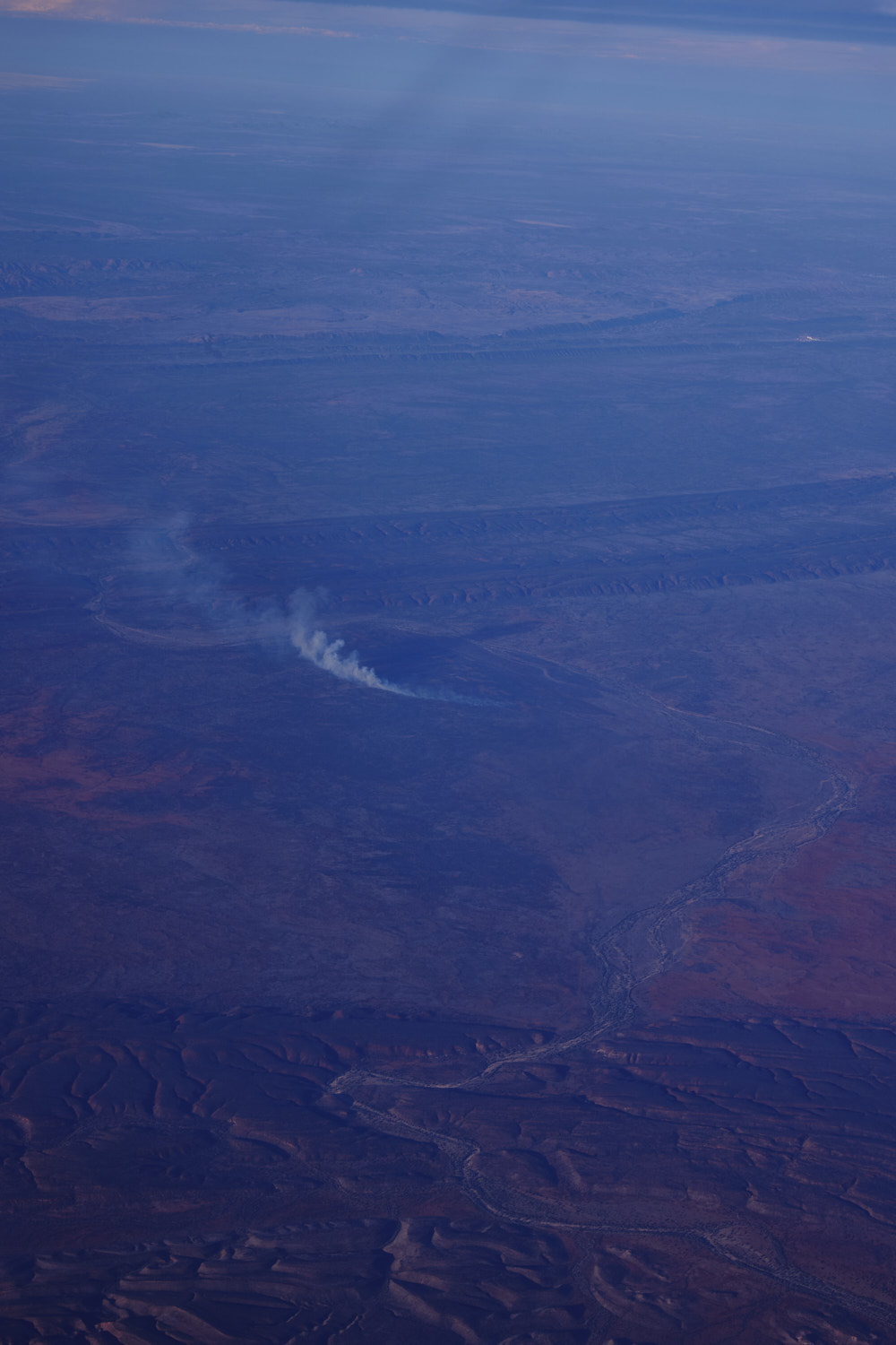 little bush fore near Owens Spring
 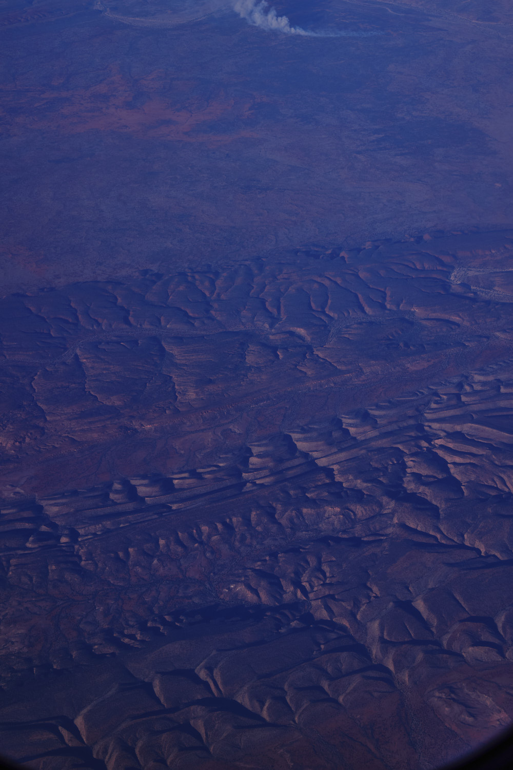 interesting geography, somethign was pushing against something
 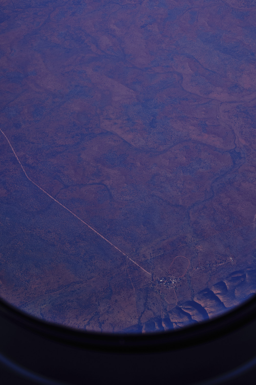 Wallace Rockhole
 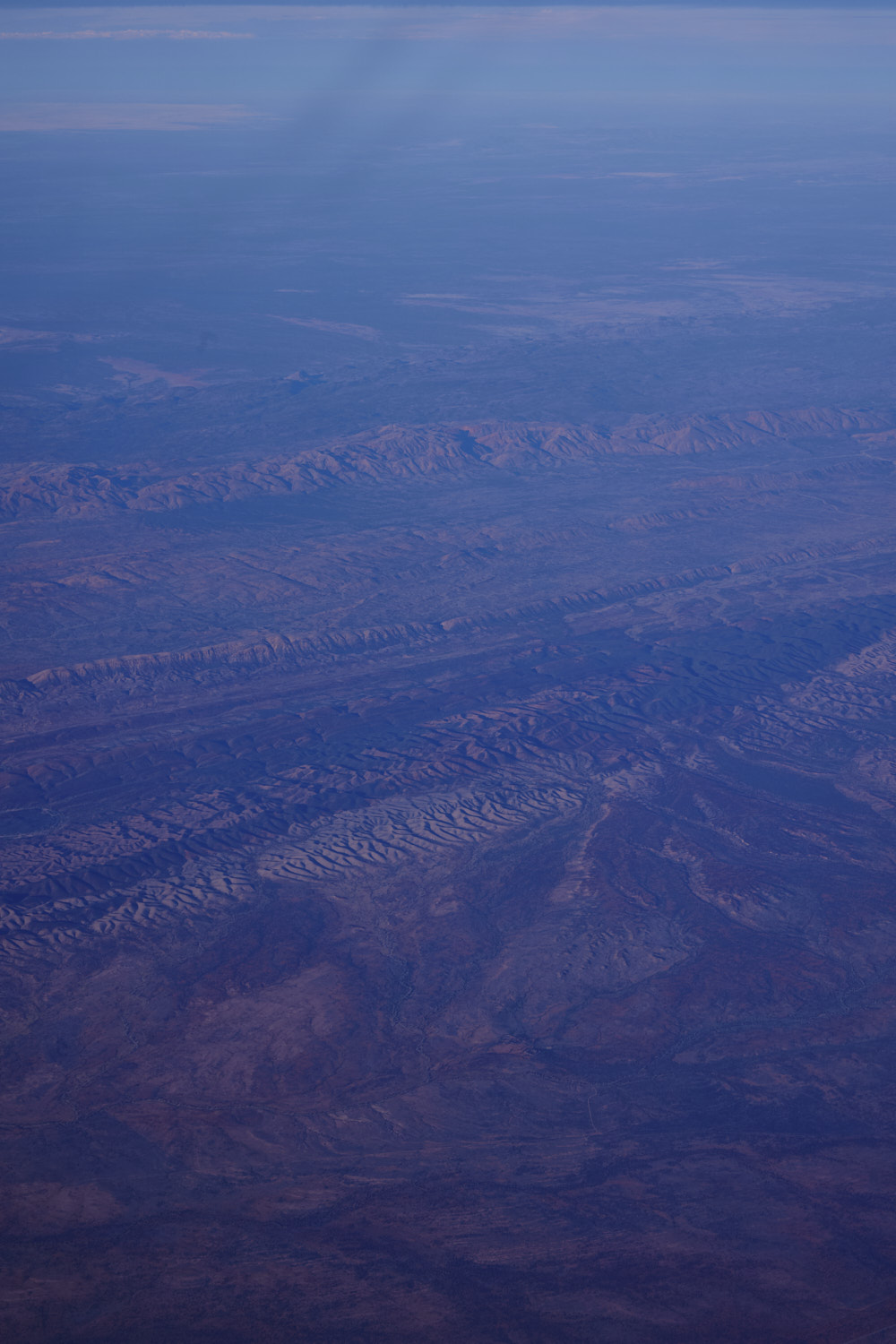 Tjorita West MacDonnell National Park
 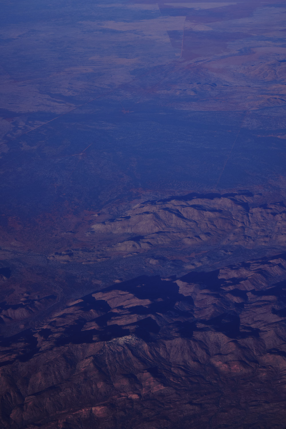 close to Roma Gorge
 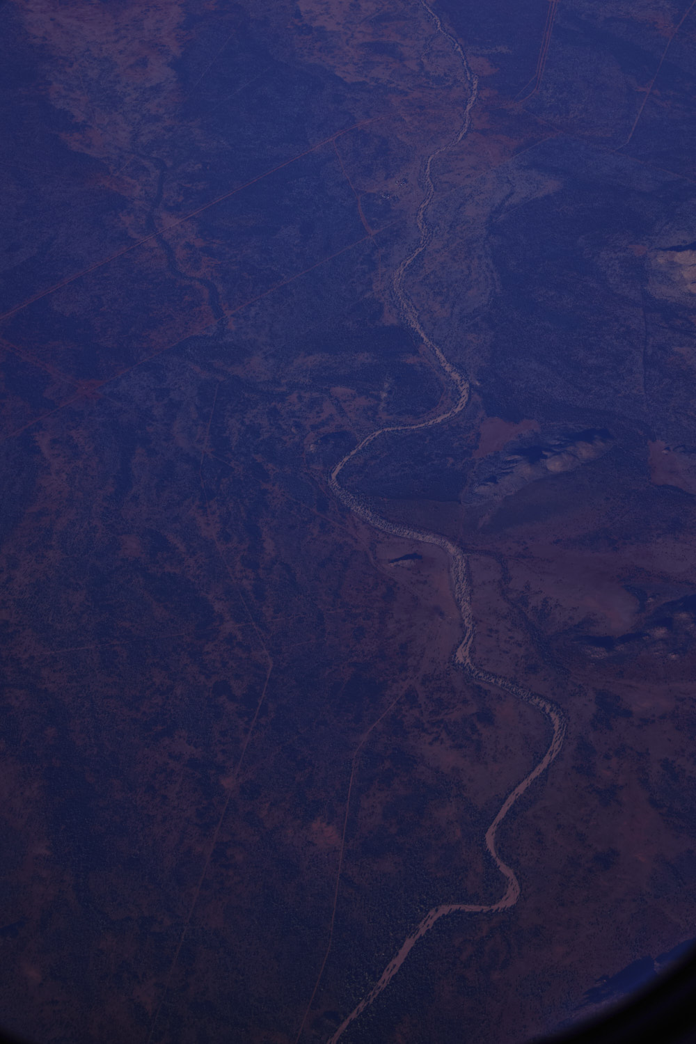 Dashwood Creek
 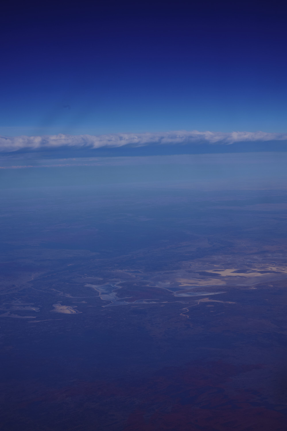 Lake Lewis
 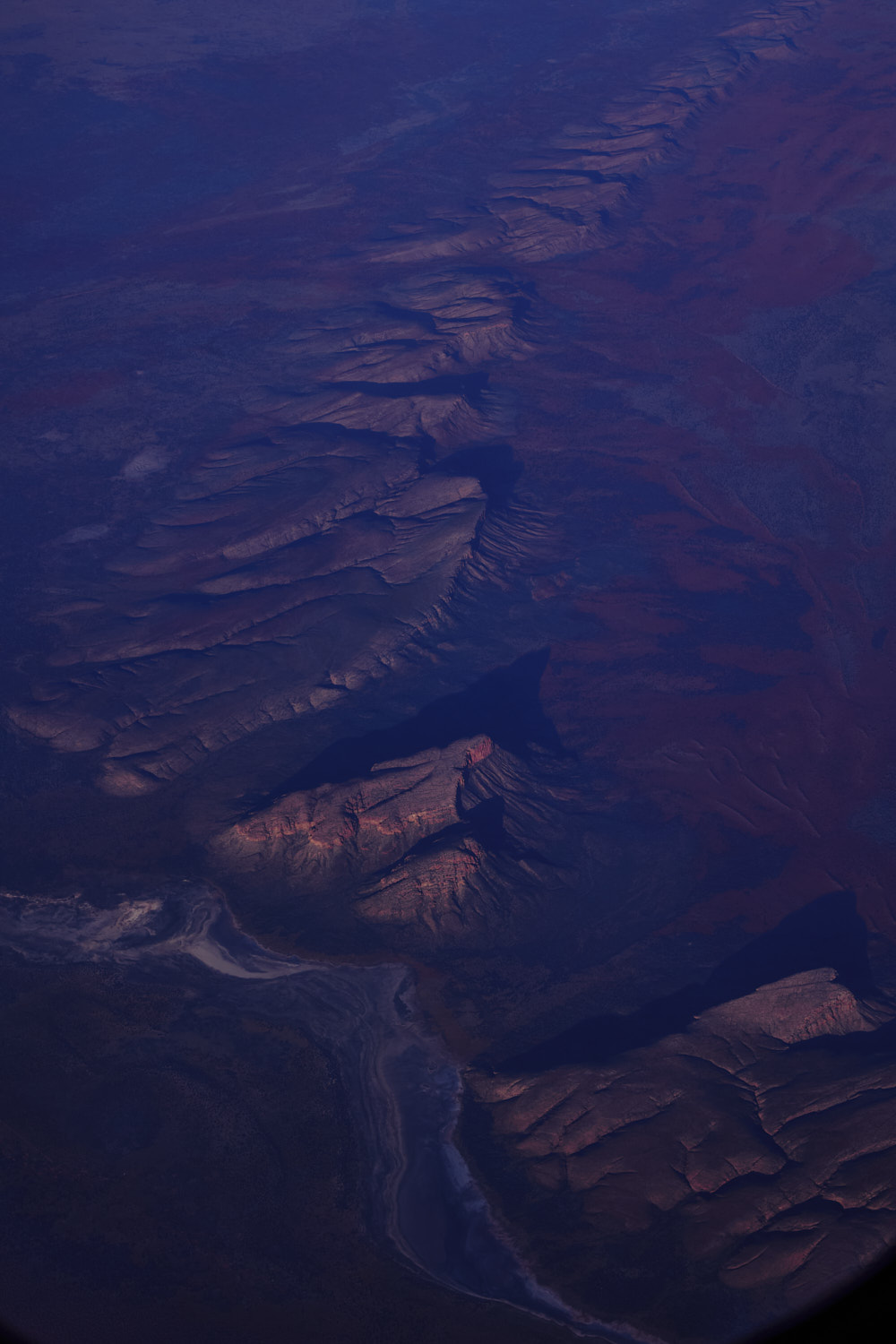 flying towards sunset, and love the last light hitting the top of the mountain, casting a long shadow
 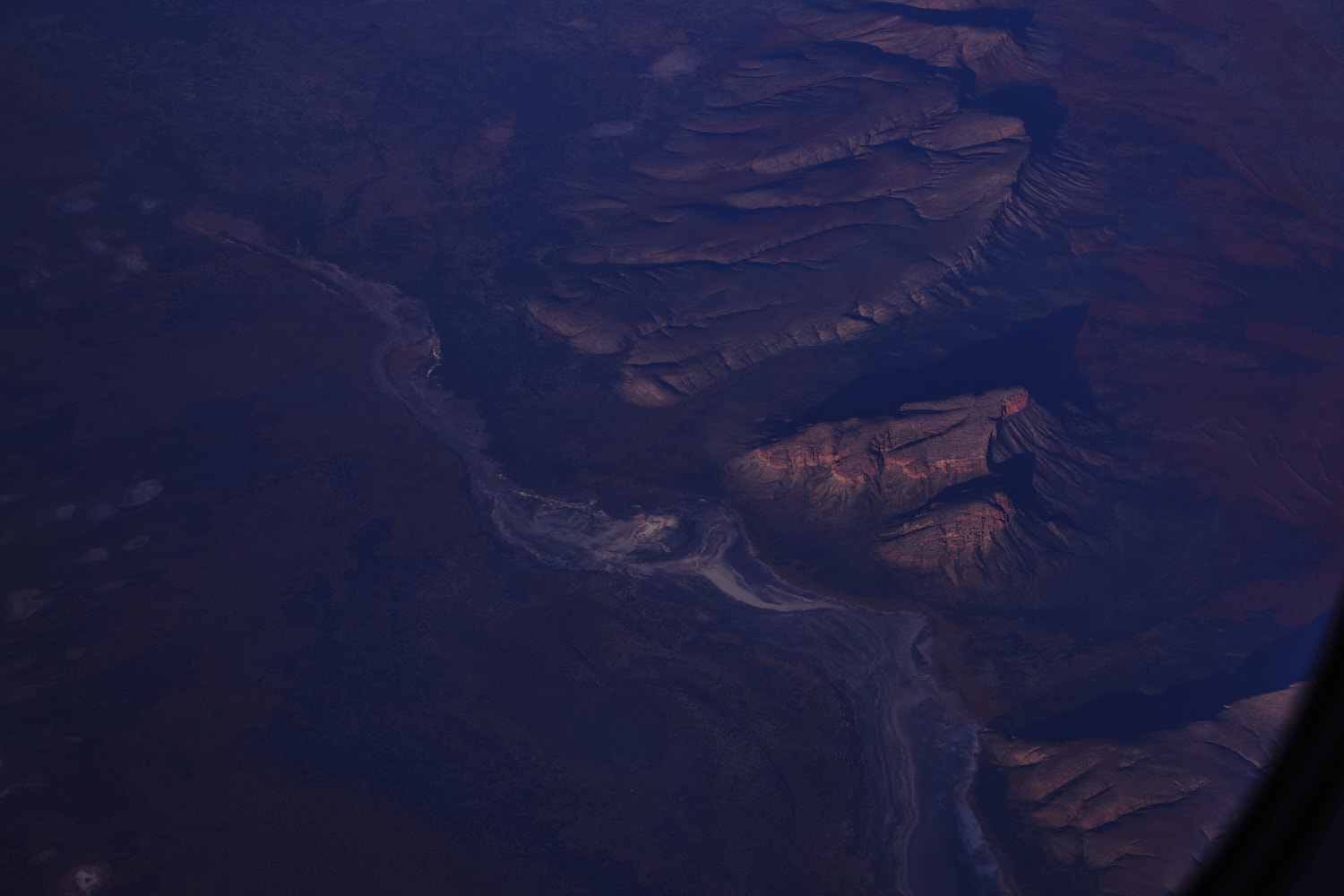 near lake Mackay
 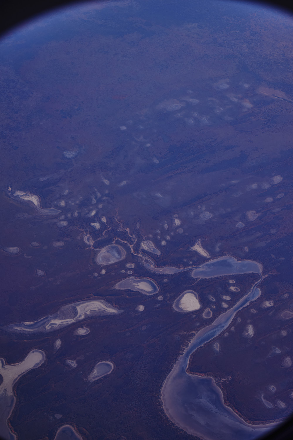 all part of Lake Mackay
 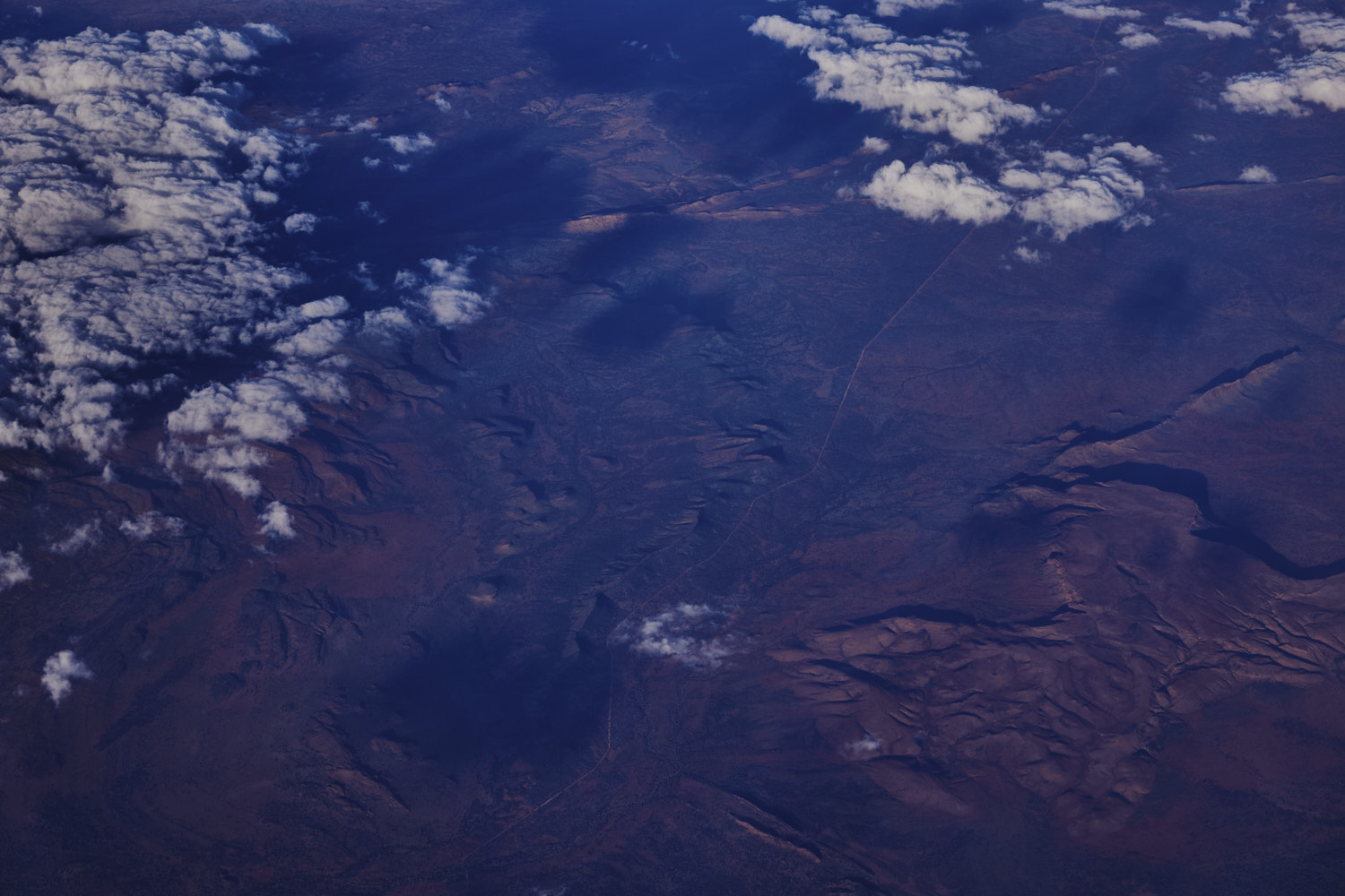 Vaughan Springs Propacc
 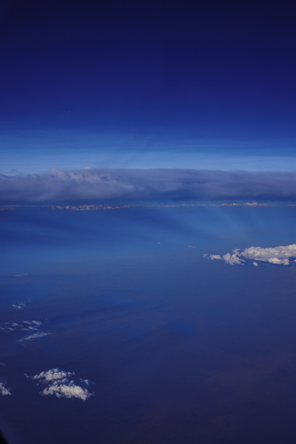 sunrays
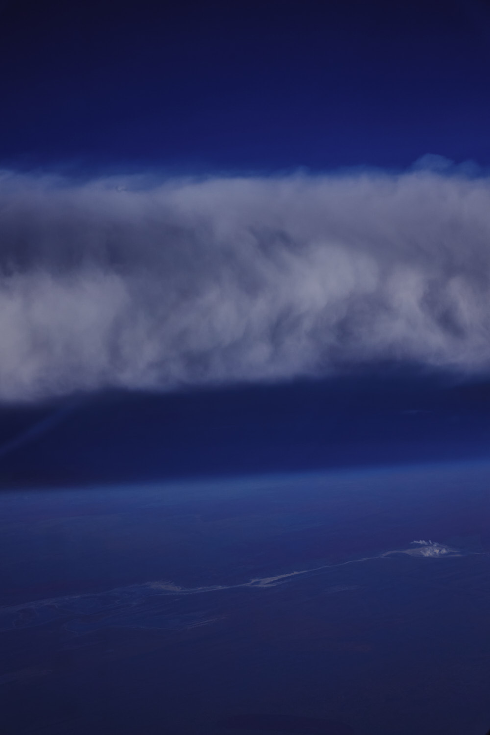
 Tanami
 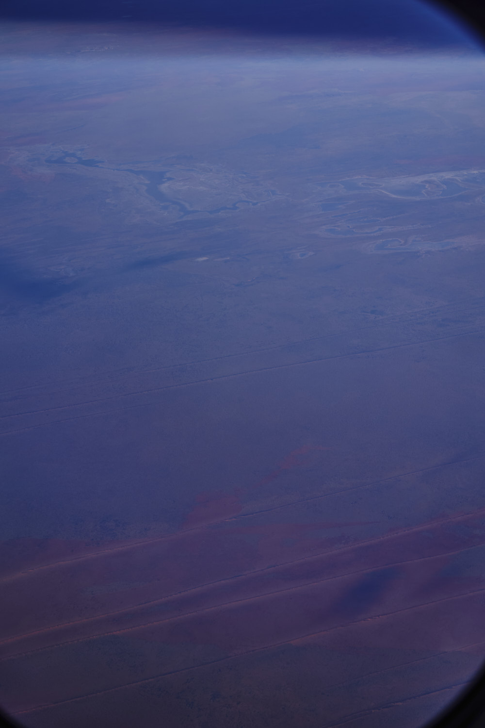 nearing the Western Australia border
 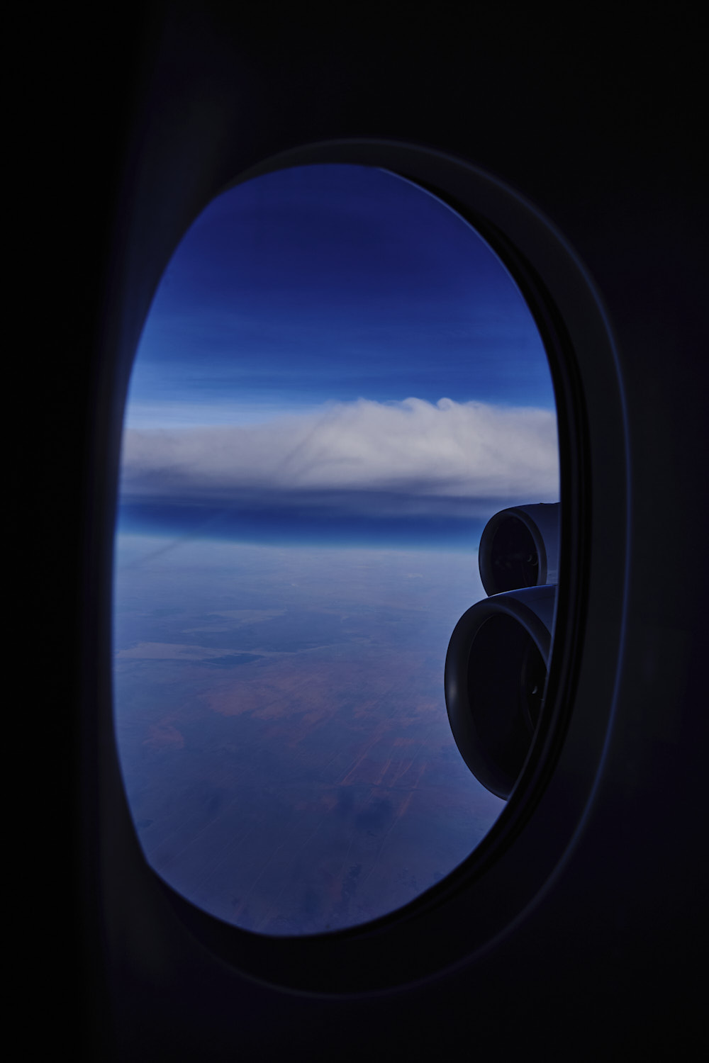 Western Australia
 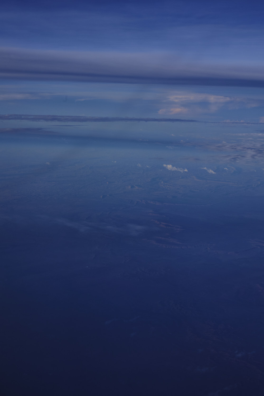 even more remote
 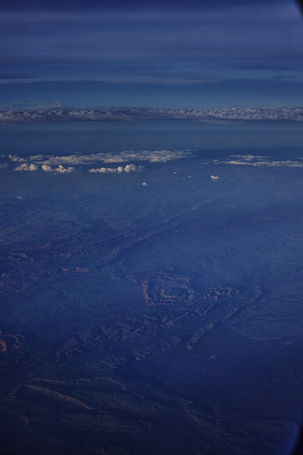 Mueller Ranges
 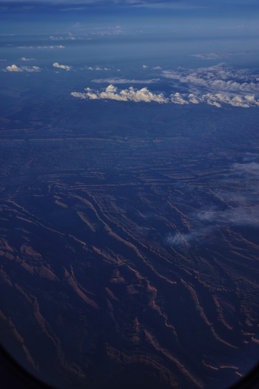 Mueller Ranges
 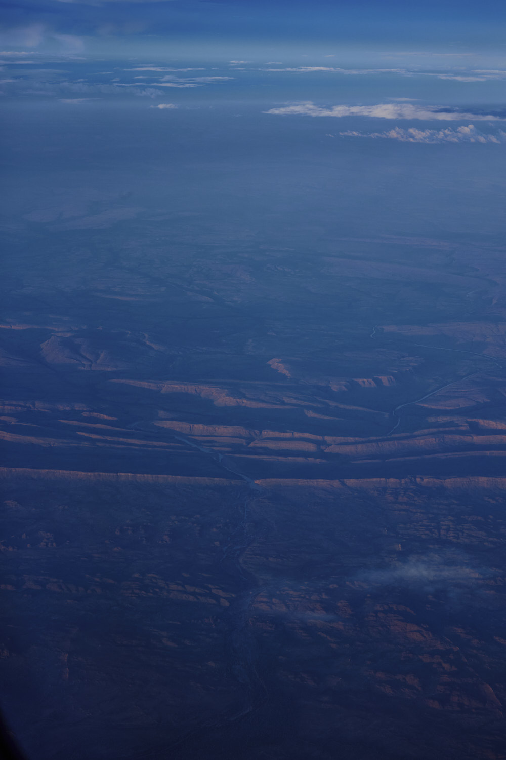 Dimond Gorge, Fitzroy River
 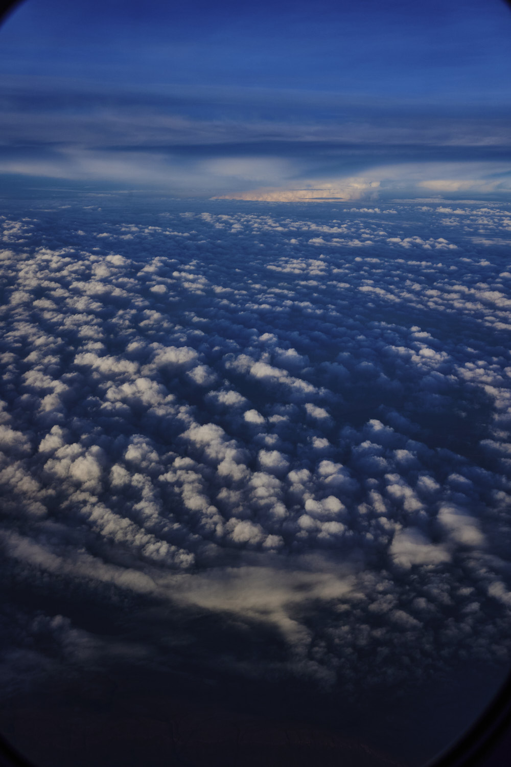 clouds set in as we near the coast line north of Broome
 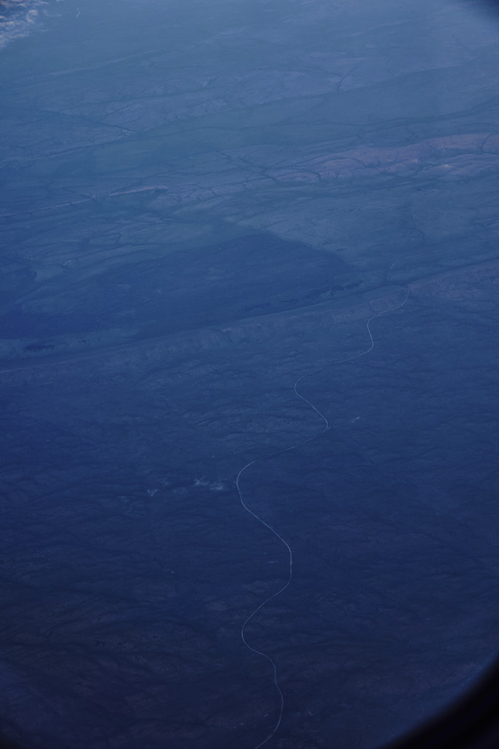 Wunaamin Miliwundi Ranges and Derby Gibb River Road
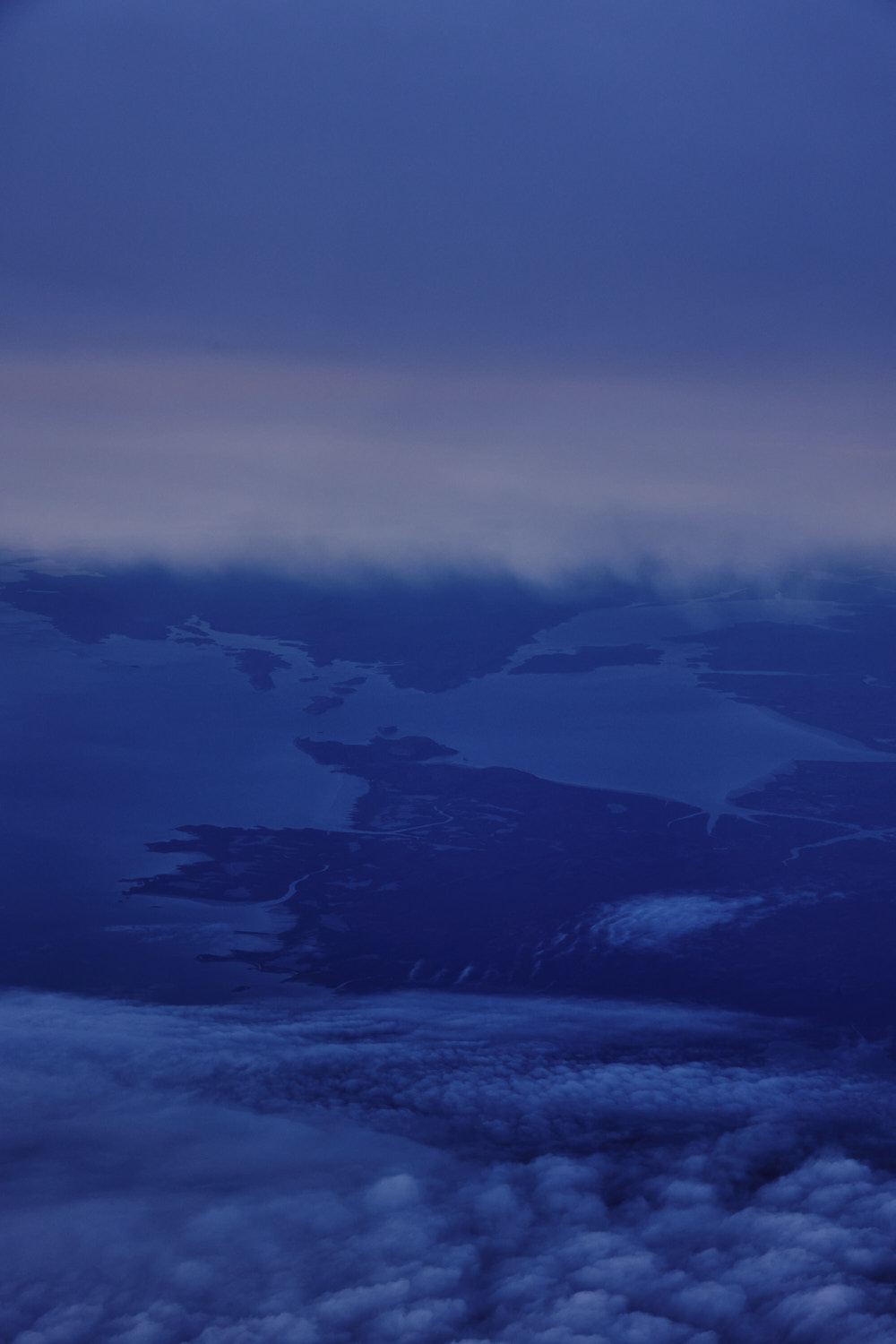 Prince Regent River
 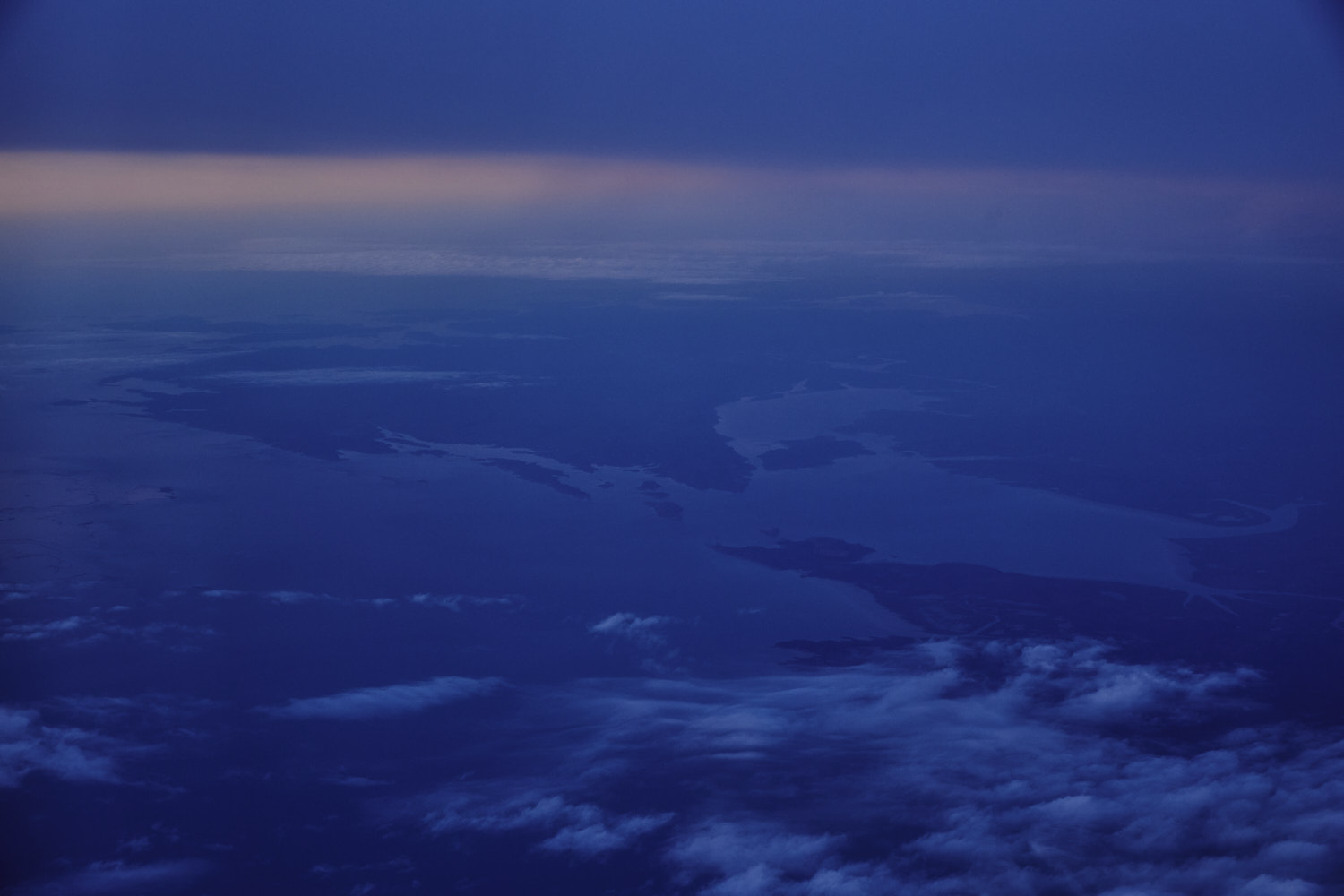 leaving Australia, north of Broome
 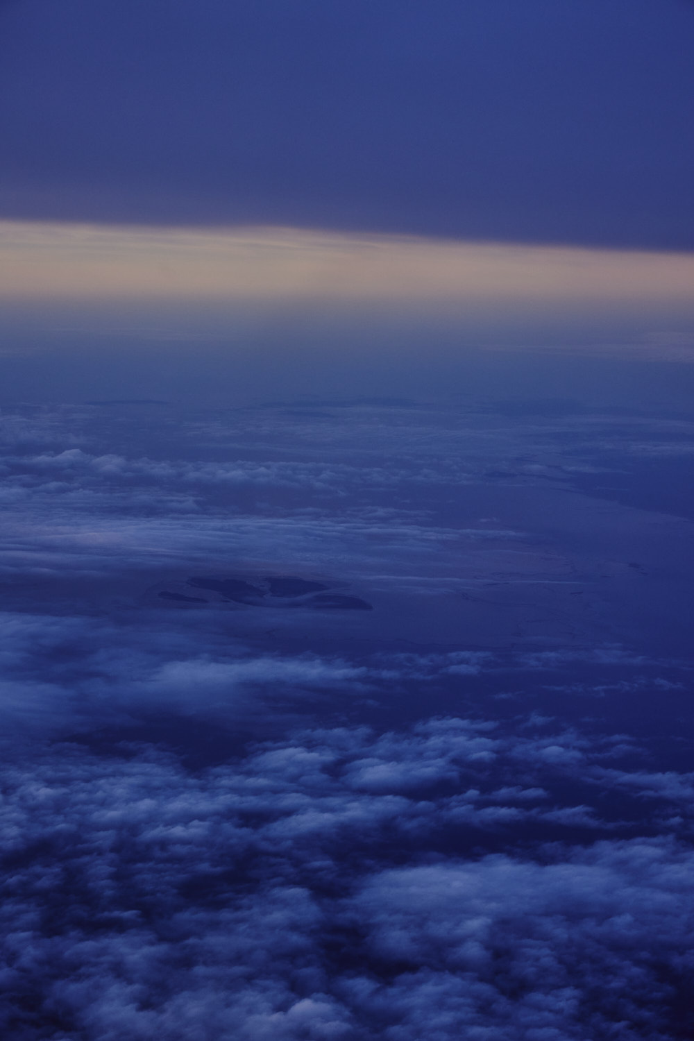 Yawajaba Island
 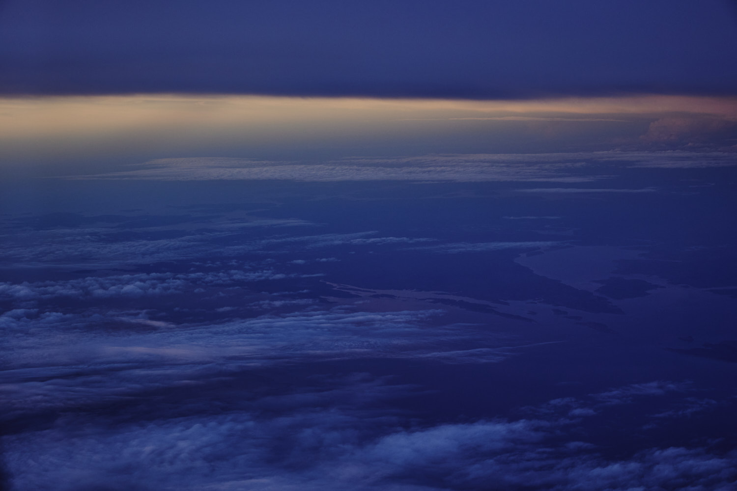 see you later Australia
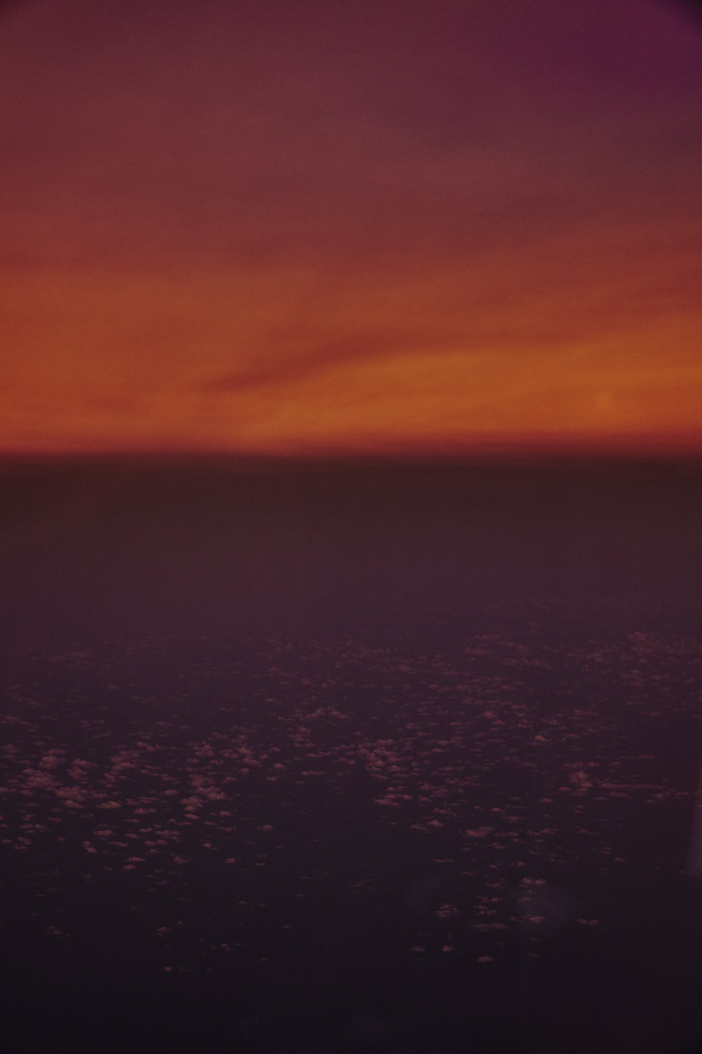
 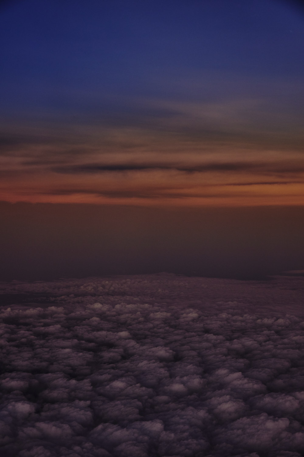 beautiful colours
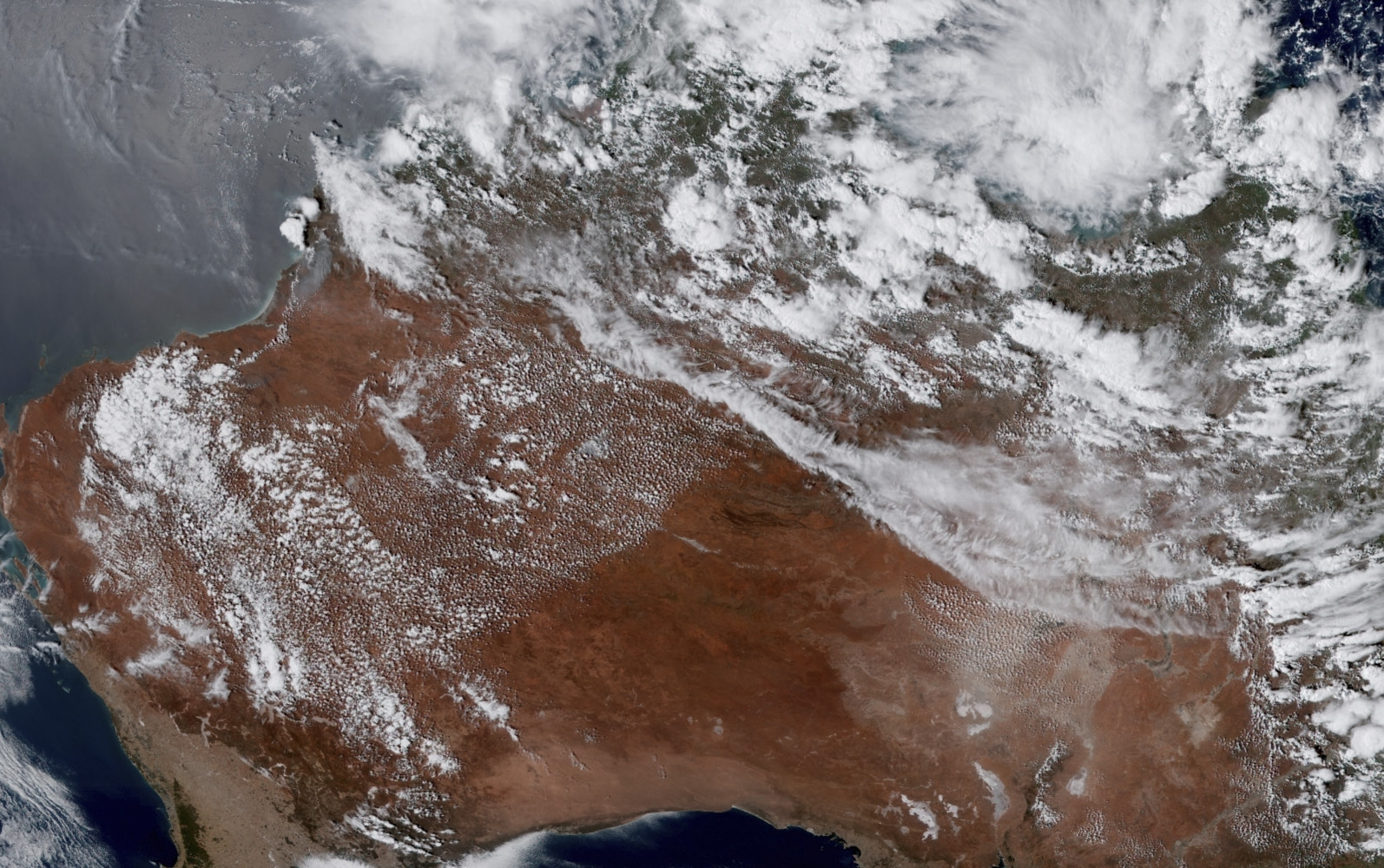 shot of Australia from space roughly at the same time as this flight
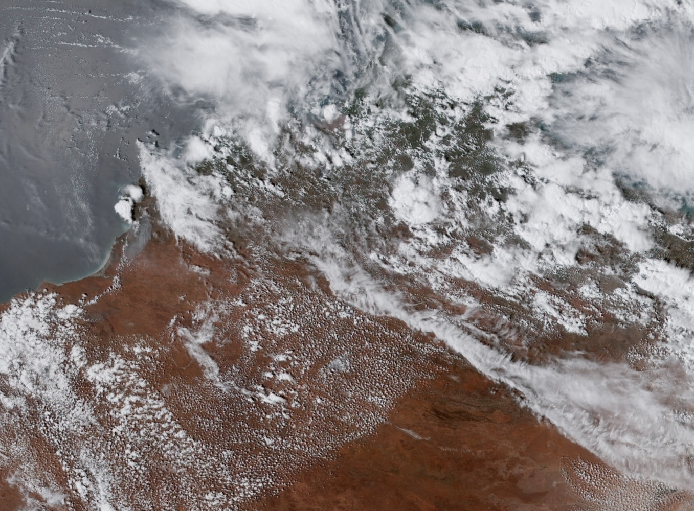 the band of cloud we flew parallel too after Lake Mackay�
 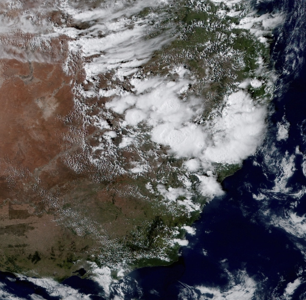 The storm clouds over Blue Mountains after take off
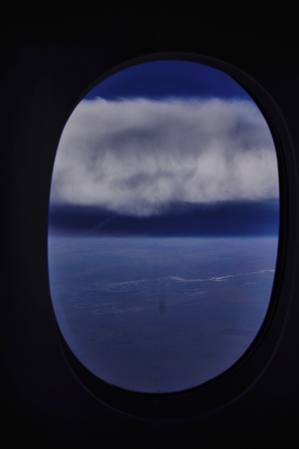
 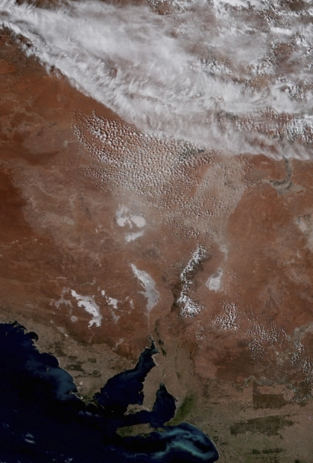 closer look at that band of cloud we flew alongside in Western Australia
 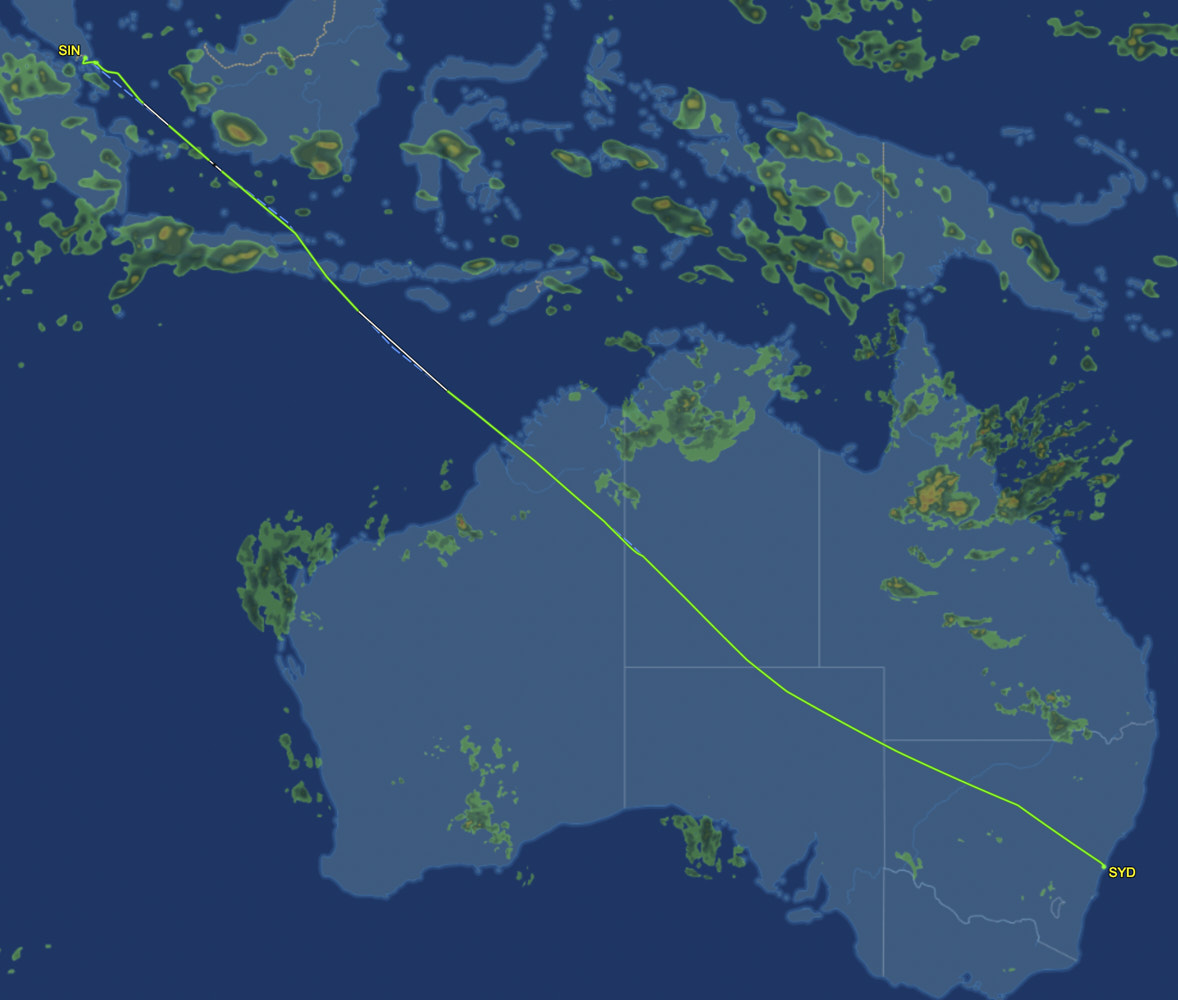 the flight path taken� ( over lap this with the satellite photo of Australia )