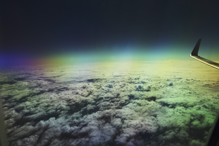
 In Sydney for about 4-5 days and off again, just how we like it, one job to the next. Unfortunately only managed to get a 10 min surf in though, will have to wait till I get back from this job. Leaving Sydney on a grey rainy day, but as soon as we cross the blue mountains the clouds clear
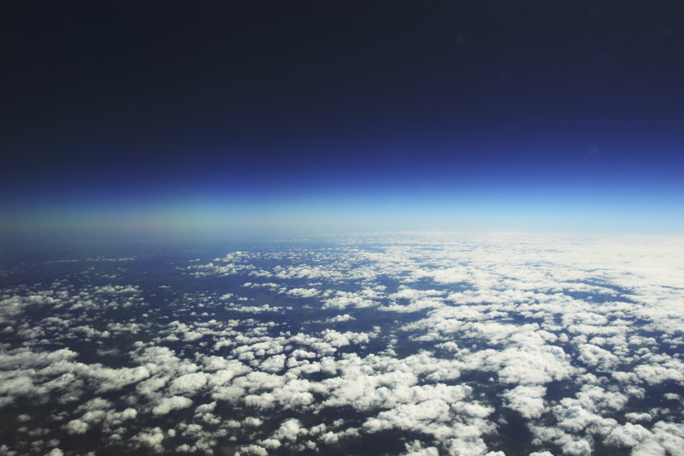 and we can see the great big land spread out in front of us
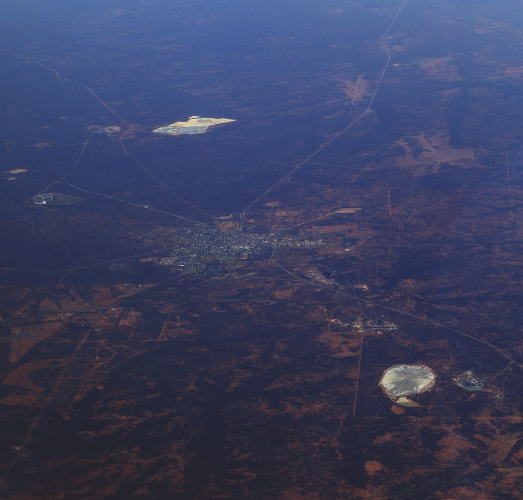 Cobar, outback NSW
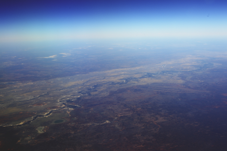 The mighty Darling river, north of Tilpa
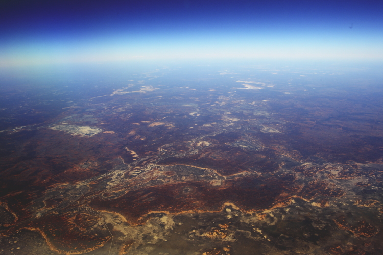 outback nsw, really starting to appreciate how BIG this country is
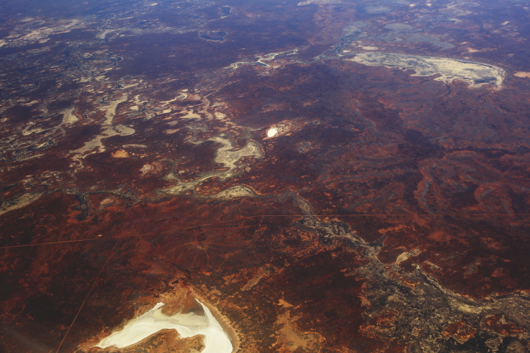 salt lake in the shape of the top part of Australia
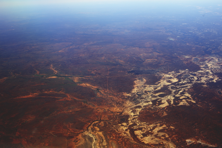 when I see this countryside like this from the air, it makes me just want to get one of those rigged up 4WD and go for a 2 week drive outback 🙂
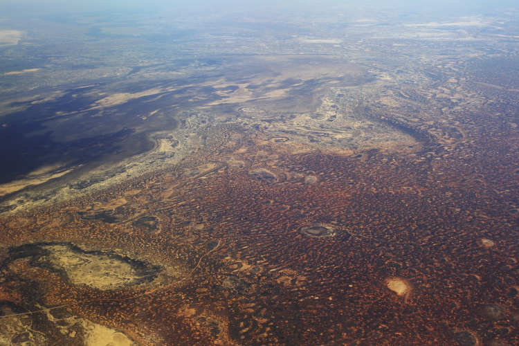 harsh, yet beautiful landscape
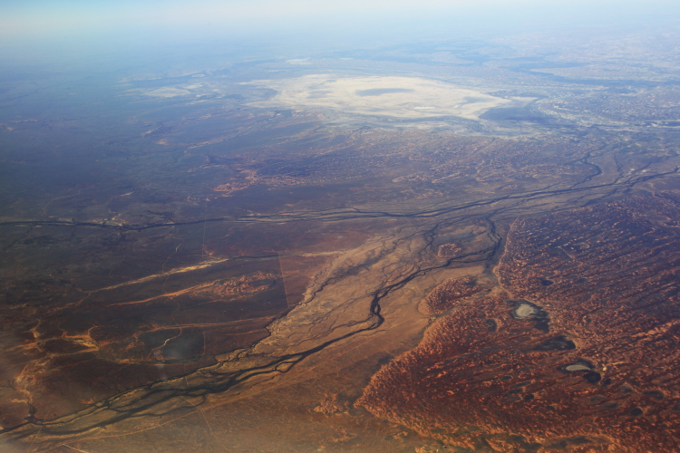 Around Sturt national park and Tibooburra
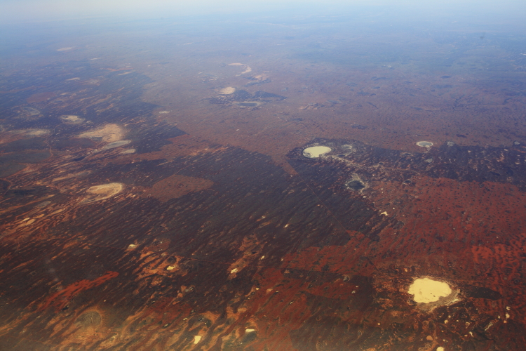 somewhere down there is the Dingo Fence
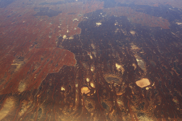 no towns out here
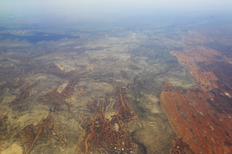 somewhere near Moomba Moomba, the begining of the Strzelecki Desert
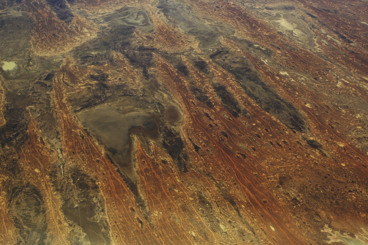 Lake Miraditchie, but what the hell are all those lines about, I mean, there are no towns down there, bugger all people, so who created those lines and why, they are in a grid pattern and not perfectly straight probably because of thr contour of the land, anyone ?
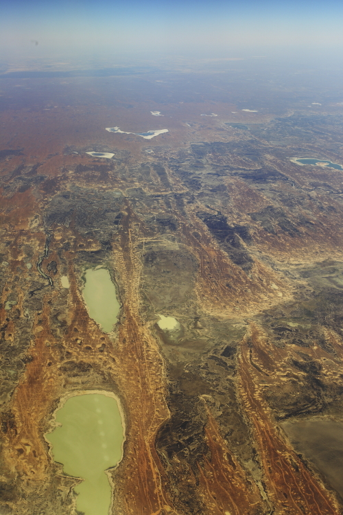 from top Coorie Coorie Gillie, then Lake Coogiecooginna and at the bottomw lake Bulpanie
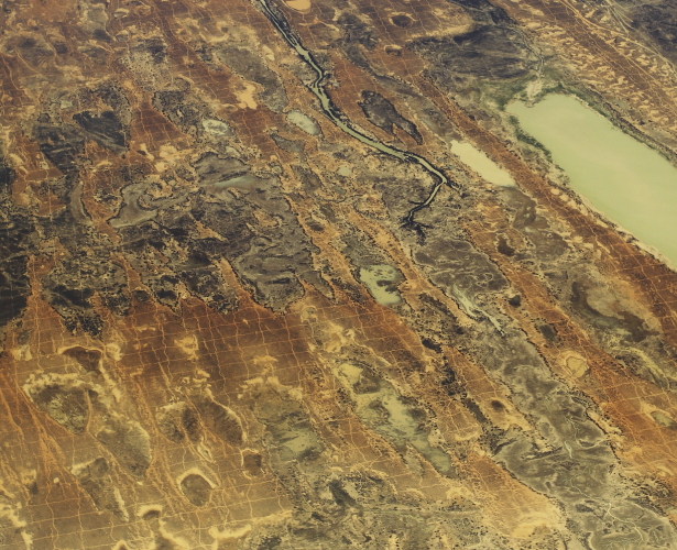 So I just had a close look at Google earth, and their sat pics are dated 2006 and this grid pattern is not to be seen in this exact same spot ( to the west of Lake Coogiecooginna ) but there are visible in areas near here on google earth
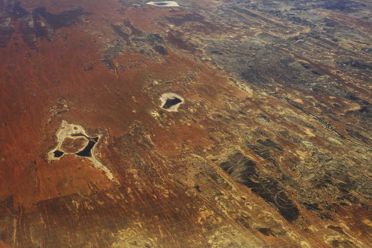 I really super curious now
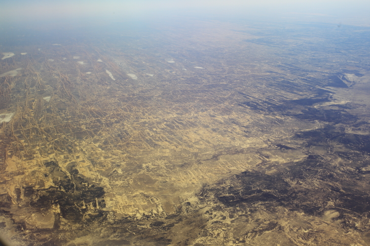
Sturt Stoney Desert
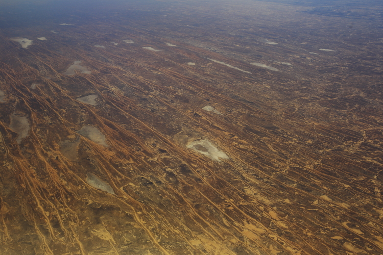 I'm guessing somewhere near the Gibber plains
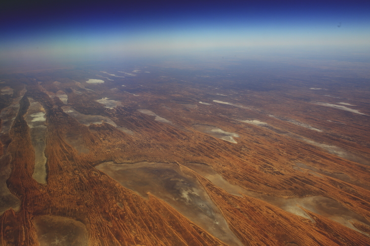 the lakes ( with water after last years rain ) to the east of simpson's desert
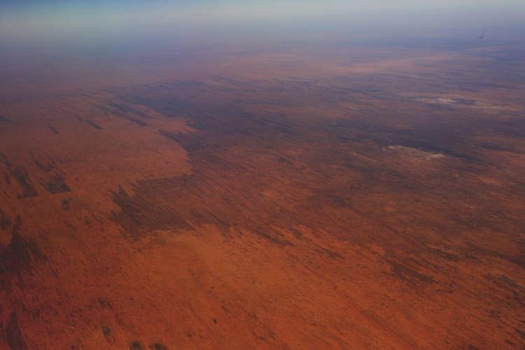 simpson desert, big red sand dune kind of place
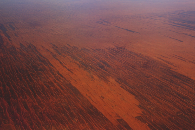 rows and rows of sand dunes
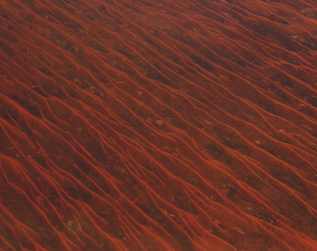 zoomed in, would love to get down there one day, but then, like I said, in a fully equiped 4WD with all the bells and whistles, portable fridge, lots of refreshments , and if possible dust free inside hehehe
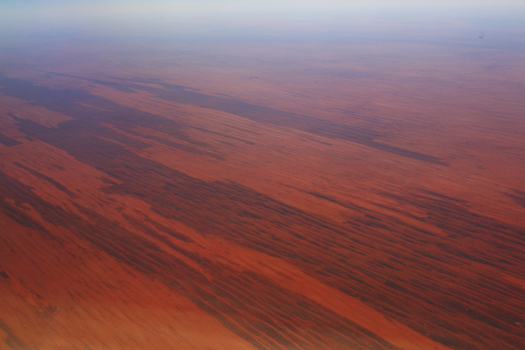 so big, just goes for, well as big as a big european country probably
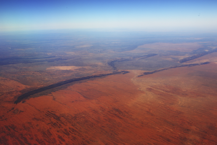 140 km as the crow flies from Alice Springs
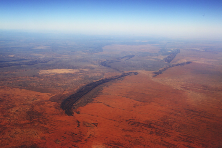 and, my first time out here, was expecting it all to be flat, but instead, I see quite a lot of mountain ranges
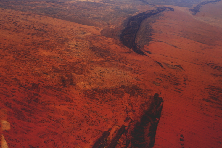 just look at that colour ! ! !
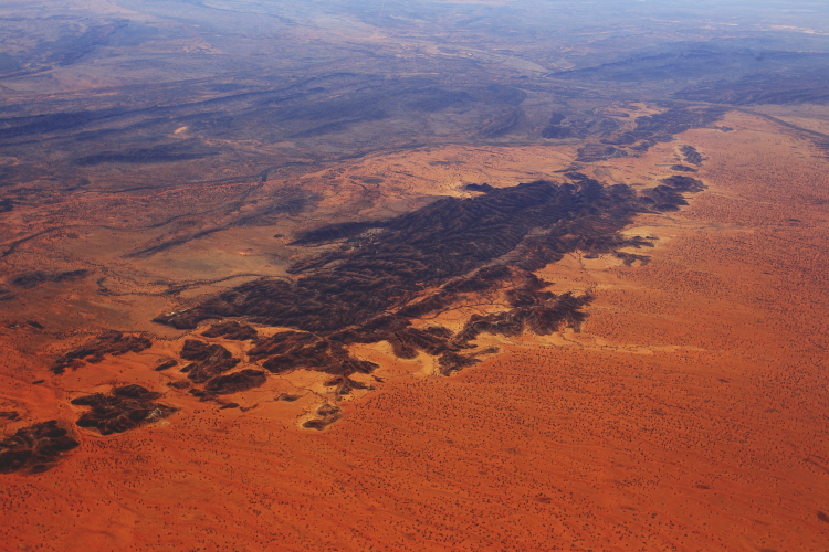 woauw, and the line you see in the top right of the photo is the Hale River ( which is probably dry for most of the year )
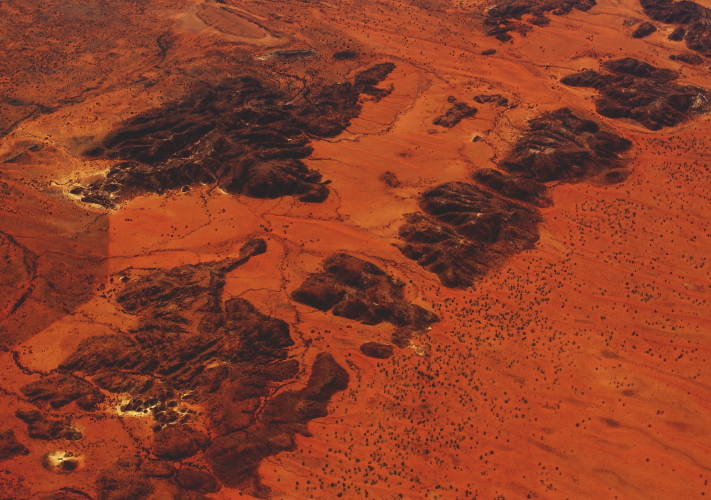 zoomed in, woauw !!, look at that colour. I hope I get to come here while in Alice Springs
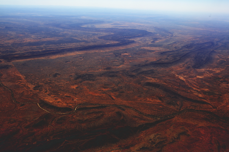 the geography & geology is just incredible, I think that is an out ring of the East MacDonnel ranges
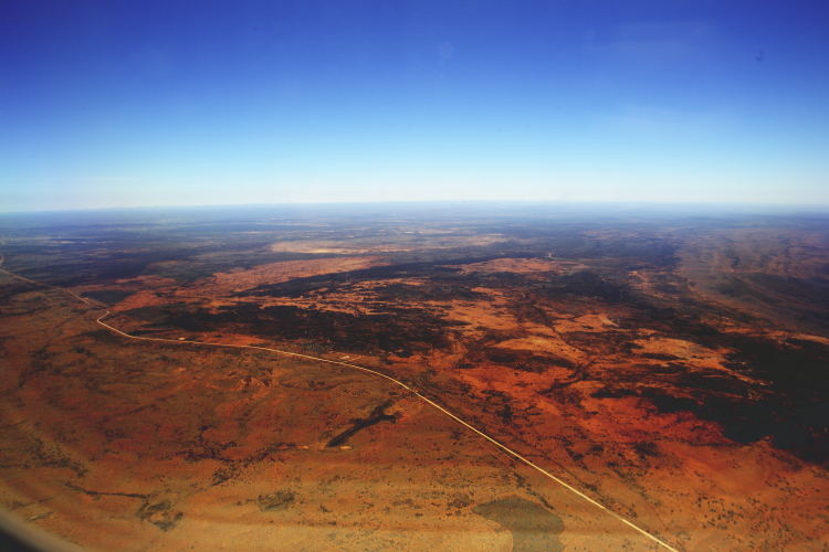 the road from Alice Springs to Chamber Pillars, and soon we will be on this road as in the center of this photo is one of the proposed locations Ooraminna homestead
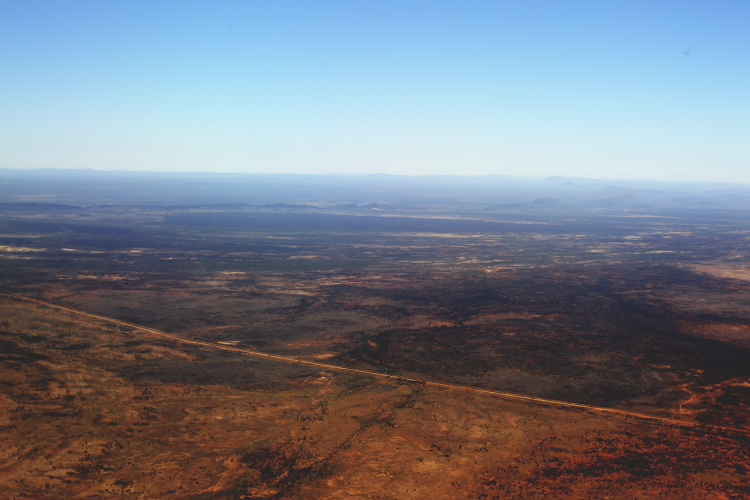 descending down to the airport now ( well we have been for a bit already )
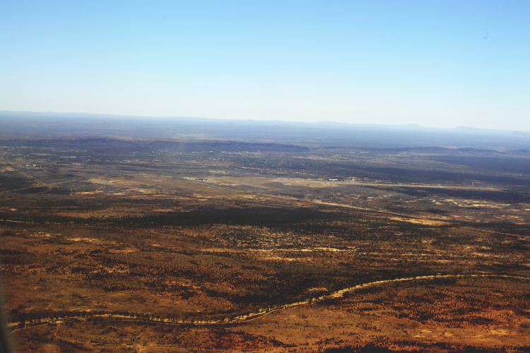 one of the many dry creek beds round Alice Springs, airport is about in the middle of the photo
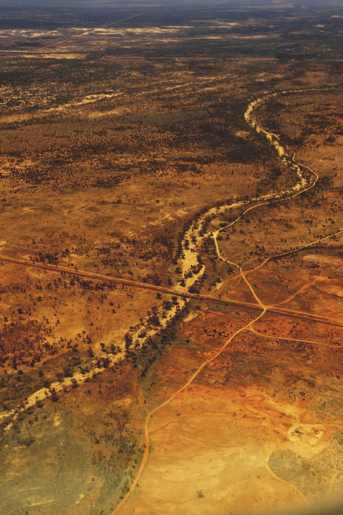 railway line crossing creek
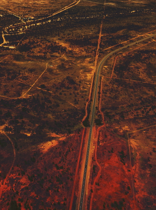 Hatt Road
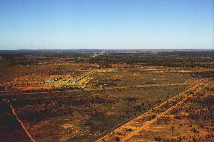 not the airport as I first thought, but a race track and the dust in the distance is a truck on the dirt road to Chambers Pillars, we will be on there in about 40 min and get blinded by that same dust of a truck speeding past us 🙂
Sydney > Alice Springs
In Sydney for about 4-5 days and off again, just how we like it, one job to the next. Unfortunately only managed to get a 10 min surf in though, will have to wait till I get back from this job. Leaving Sydney on a grey rainy day, but as soon as we cross the […]
Sonny Vandevelde
No tags for this post.
