 early start for the day
  golden light
  take off, Jamaica Bay
  through the clouds
  finally over an hour later cloud cover breaks over Peoria County, Illinois
 Elmwood
  looks impressive
  like a big cermamic plate floating above the fields
  Roseville, Illinois
  Burlington, on the mighty Mississippi River, crossing into Iowa from Illinois
 strange patterns under Skunk river ( turns out to be cemetries )
  Des Moines River, Keosauqua
  Rathbun Lake Iowa
  The 35, Monarch Highway
  Sun Valley Lake Iowa
  road from Essex to Shenandoah along the East Nishnabotna River
 Lincoln, Nebraska
  Lincoln Airport
  big feedlots ? cattle farm, pigs, chickens ? Near Hastings
  Hastings
  Juniata Feed yard, that’s one of those cattle farms, probably supplying meat ofr maccas patties
  Minden, Nebraska
  Harlan County lake
  country side slowly changing from the flat farm fields
 Muddy Nebraska
  Harry Strunk Lake
  irrigation farming, near Nebraska Colorado state border
 snow capped mountain in the distance, flying over Denver
 Eldora Ski resort on the left, such a short drive form Denver
  Summit county
  Grand County Utah
  and a bit of fracking going on here, shame
 Flat rock messa road
  Uintah County
  Green River, Carbon County, Utah
  Green River
  Emery County
  Huntington
  Sevier River , Millard County, Utah
  Sevier lake
  Utah, Tule Valley
 Ibex lake with President Princess Island
  pretty desolate looking state the old Utah
  Edge of Utah, edge of the right side is Nevada border
  Utah/Nevada state border running down the middle of the photo
  Pruess Lake
  Granite Peak
  Shingle Peak Nevada
  Troy Peak
  railroad valley, with curious shape in the center of the dry lake
  Elar Jenkins farm
  Quin Canyon range
  dirt roads and no towns, edge of Lunar dry lake
  so many interesting looking places, with no place names on google earth
  we’re not alone, with the Lunar Crater Volcanic Field National Natural Landmark at the top
  Grand army of the republic highway, Nye County
  Amethyst Peak and Rawhide mountain
  Tonopah
  Highway 6 and I’m guessing Tonopah lake
  Tonopah Airport
  Tonopah
  with Mt Butler
  so isolated
  Alkali lake, and on top of the photos under the clouds, death valley
  Silver Peak
  Fish lake near Dyer
 crossing into California, White mountain peak and Mt Dubois
  Montgomery City California
  Bishop
  a frozen Lake Crowley
  June Mountain ski area
  descend for landing has commenced, Patterson
 Santa Clara County
  clouds settling in again
  Calavares Reservoir
  San Jose
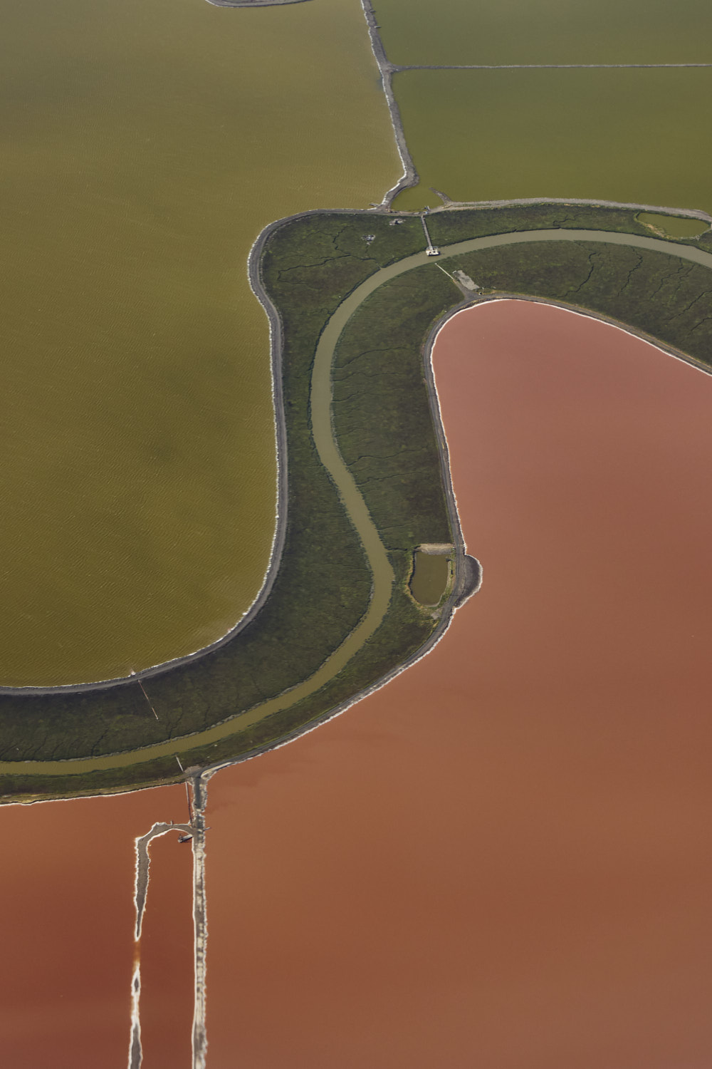
  Alviso salt ponds
  Coyote creek
  nice block colour photo
  had no idea this was all so close to the airport
 Meta Facebook headquarters
  Menlo park
  Steinberger Slough
  Foster city
  jetty just off the runway
New York > San Francisco AS33


Met Gala done, so up before crack of dawn to head back home. At the start of the flight looked like I was not going to get many photos with the cloud cover, but boy , did it change, what a great visual flight, especially, Utah, Nevada
Sonny Vandevelde
