 friends
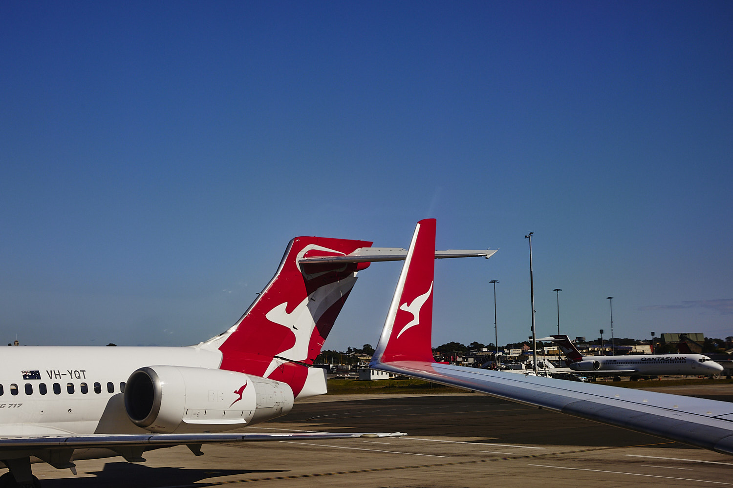
  Qantas link is a more regional version of Qantas network
 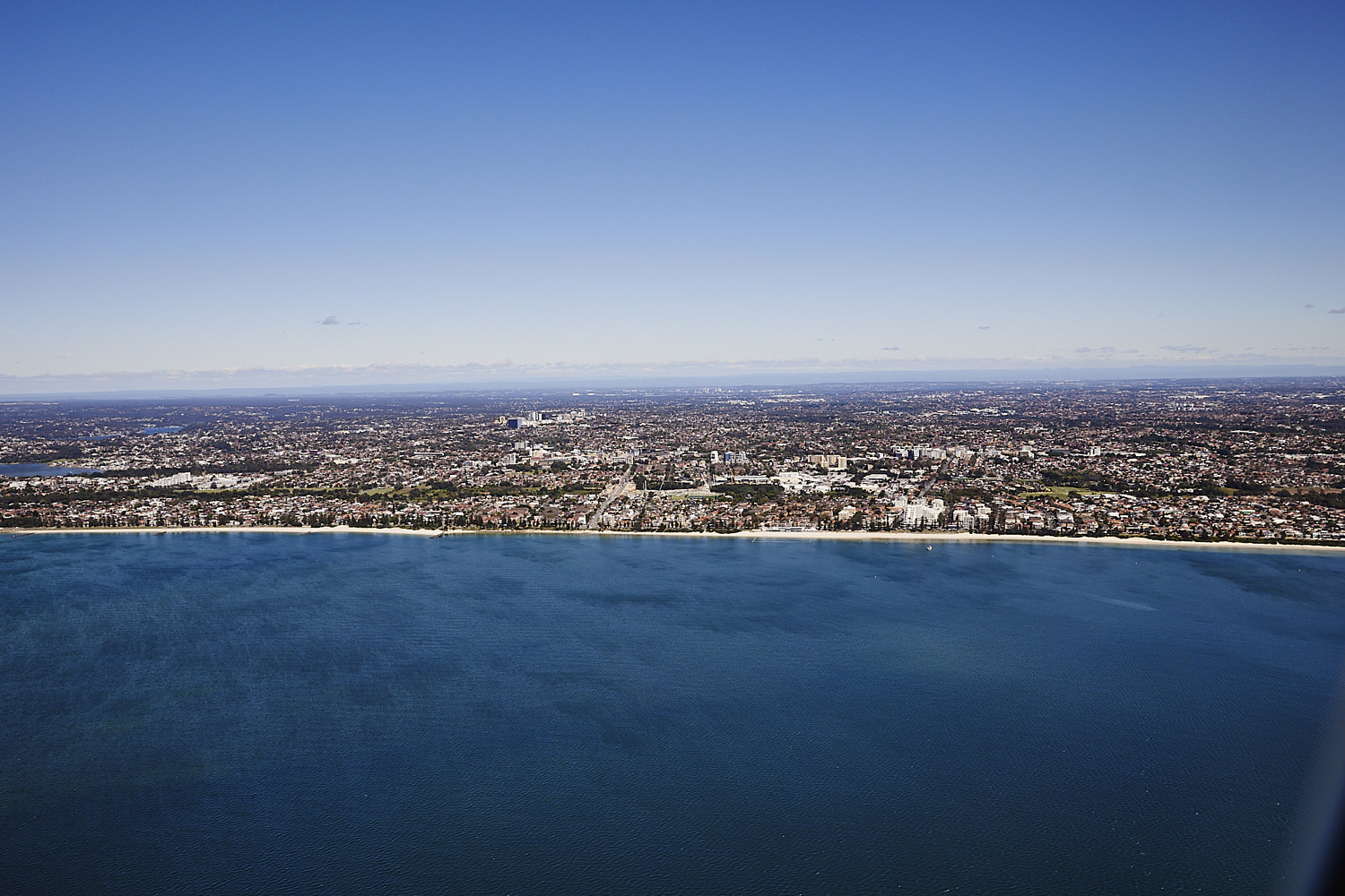 take off, Botany Bay and Brighton-Le- Sands
 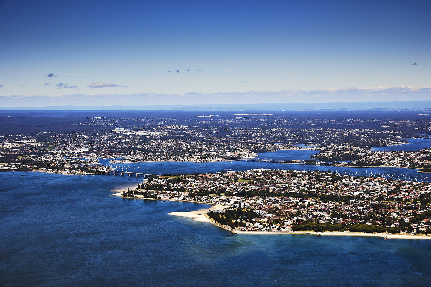 Dolls Point beach ( which has a novelty left hander once in a blue moon – need big big east swell )
 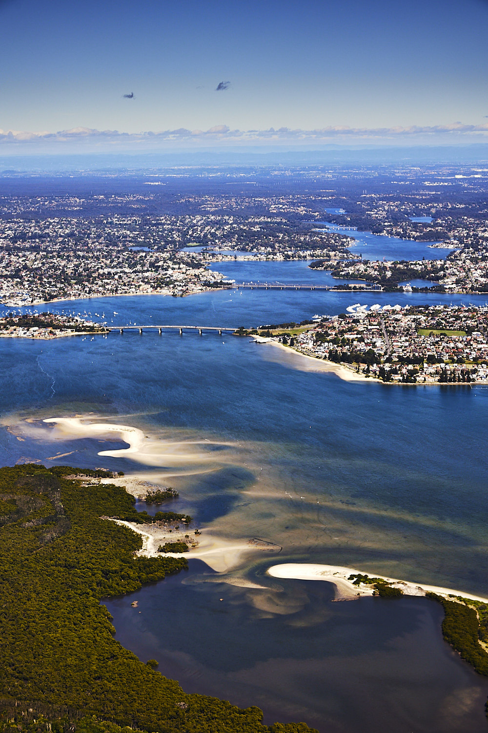 Carters Island with Towra Spit Beach, looking up the Georges river with the Captain Cook and Tom Uglys bridges
 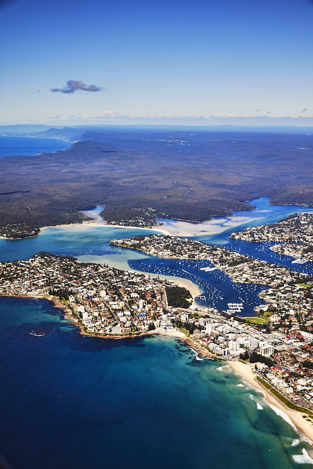 The ‘nulla, and pretty flat today, not even a ripple at Cronulla Point today, and then South Sydney National Park beyond the ‘nulla
 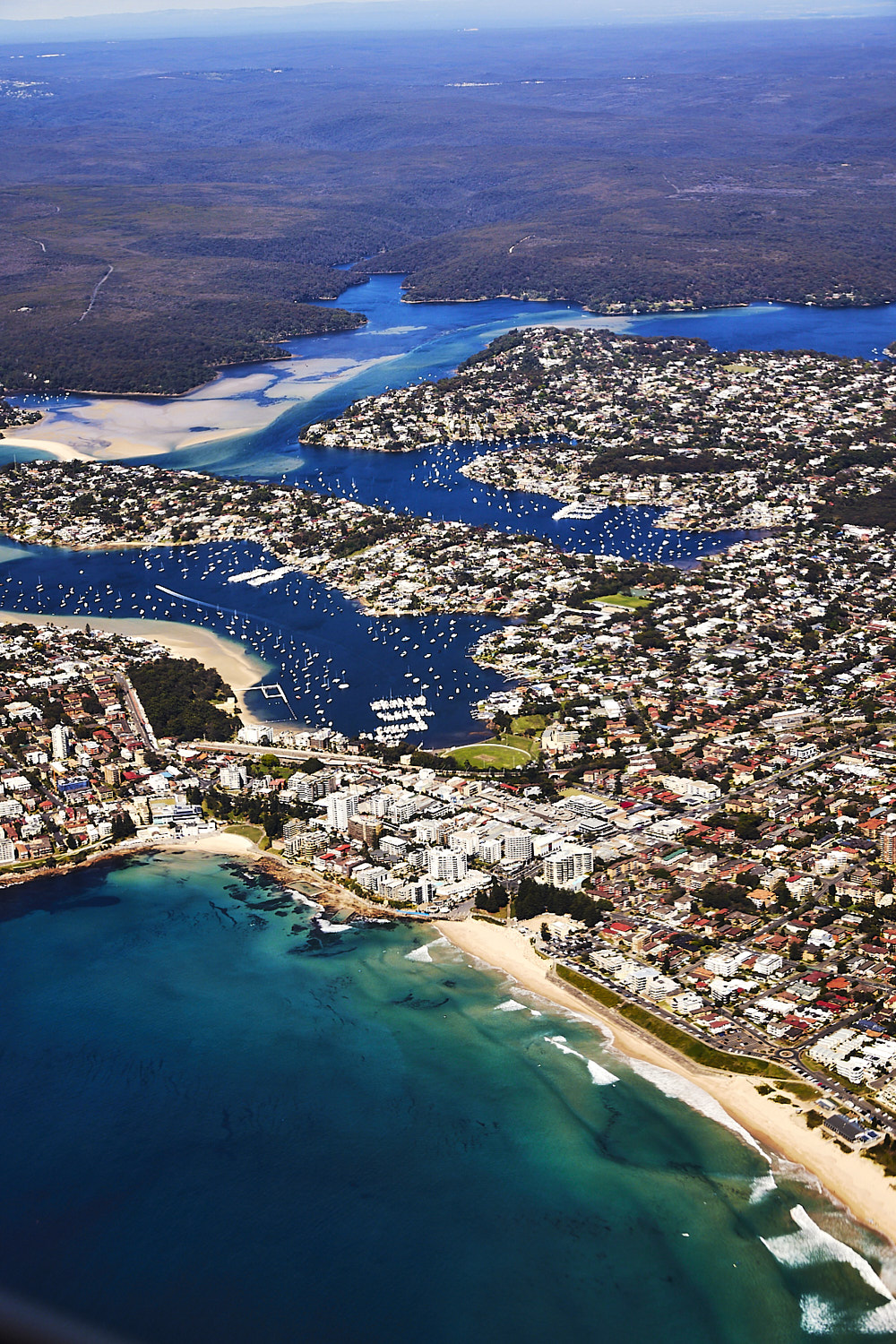 never flown this close over Cronulla before, special treat
 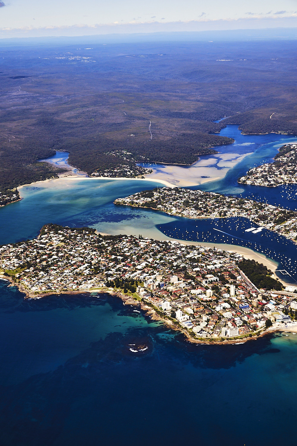 Gunnamatta Bay behind Cronulla and then up Port Hacking
 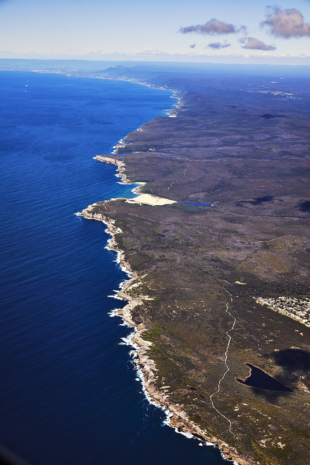 The walking tracks in South Sydney NAtional park, the coastal one which is awesome for Whale watching , did the walk with Belle & India about 5 years ago, check the post here
 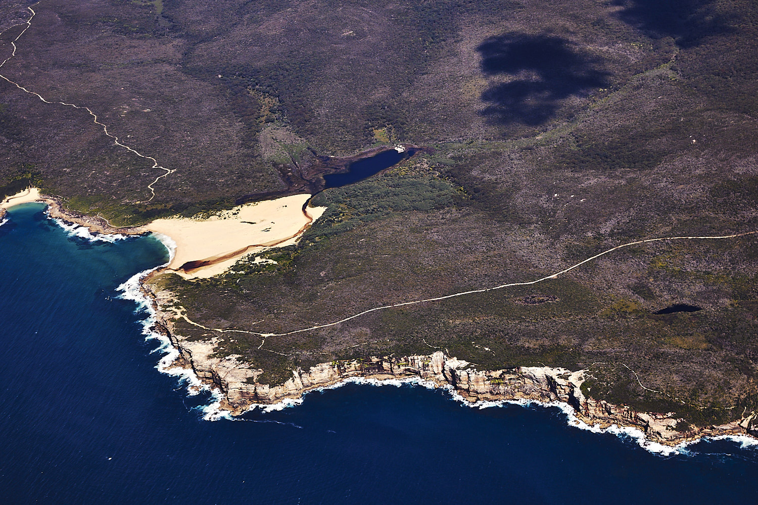 Can see Wedding cake rock near Marley beach
  banking over Marley as we were heading south, but really are going North, really north
 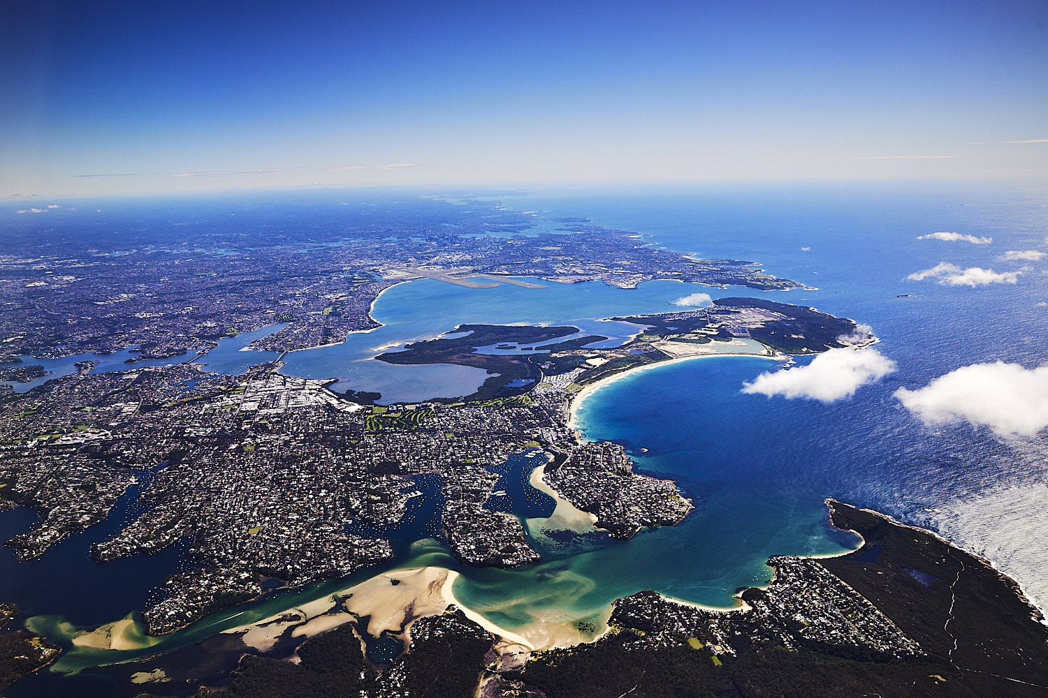 Port Hacking and Port Botany, with Sydney Harbour beyond that and then the north side
 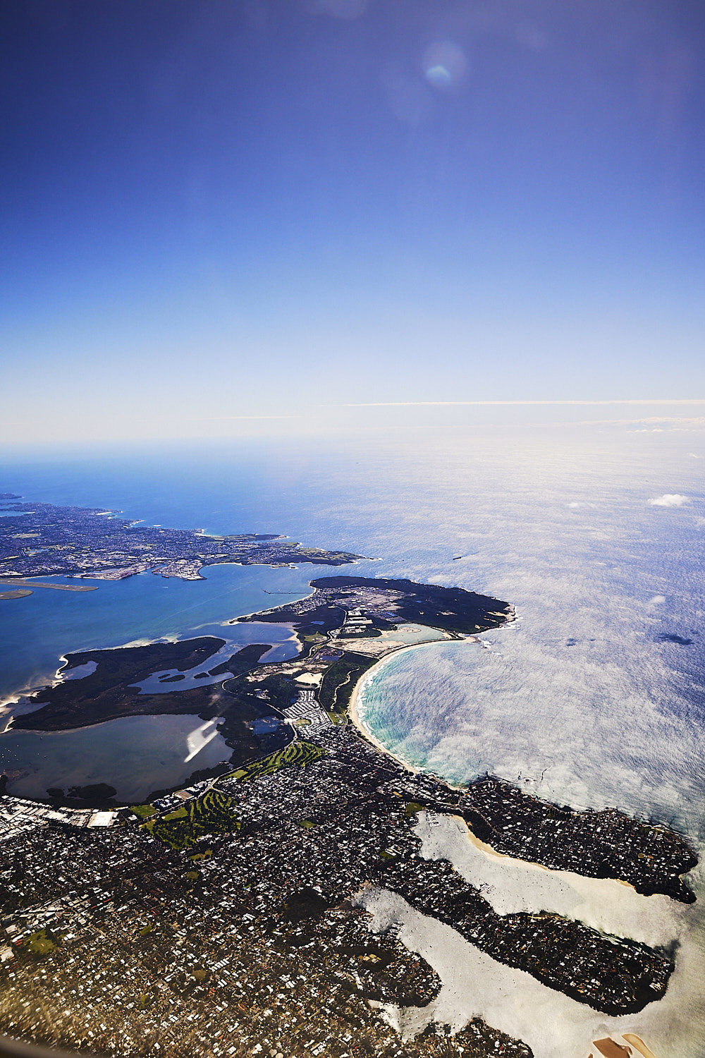 great to see the shire from this angle for once
 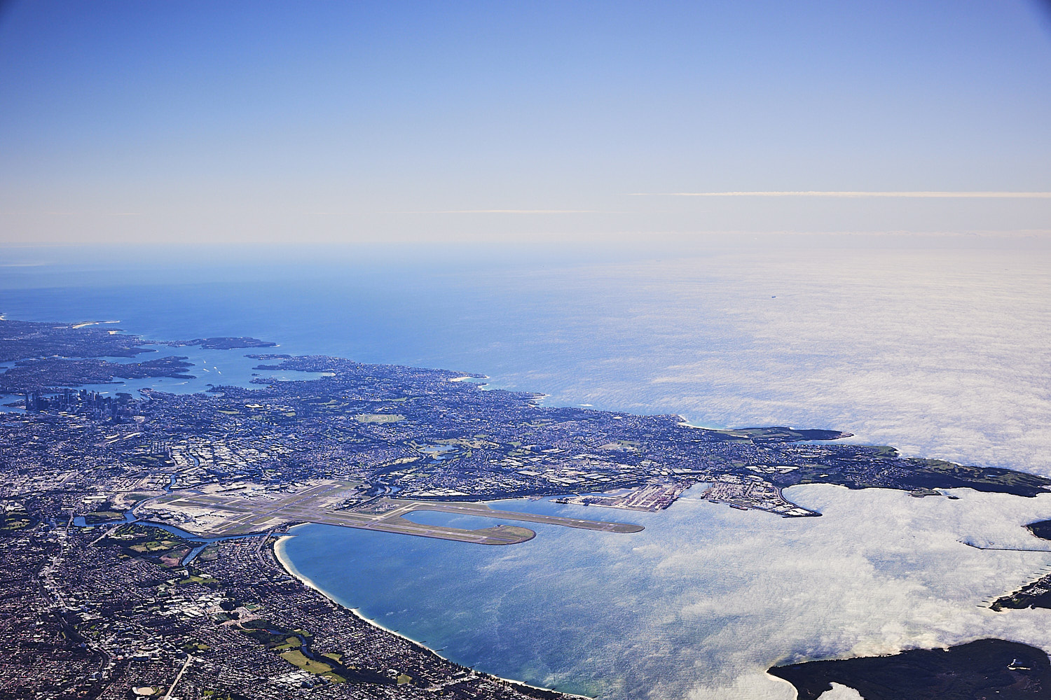 Sydney Airport and next to it Port of Botany
 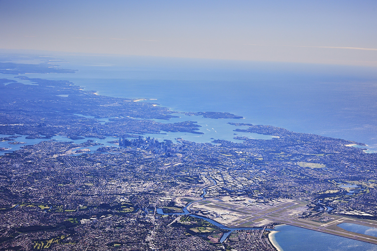 The size of the aiport compared to the size of Sydney CBD, didn’t realise how big it was
 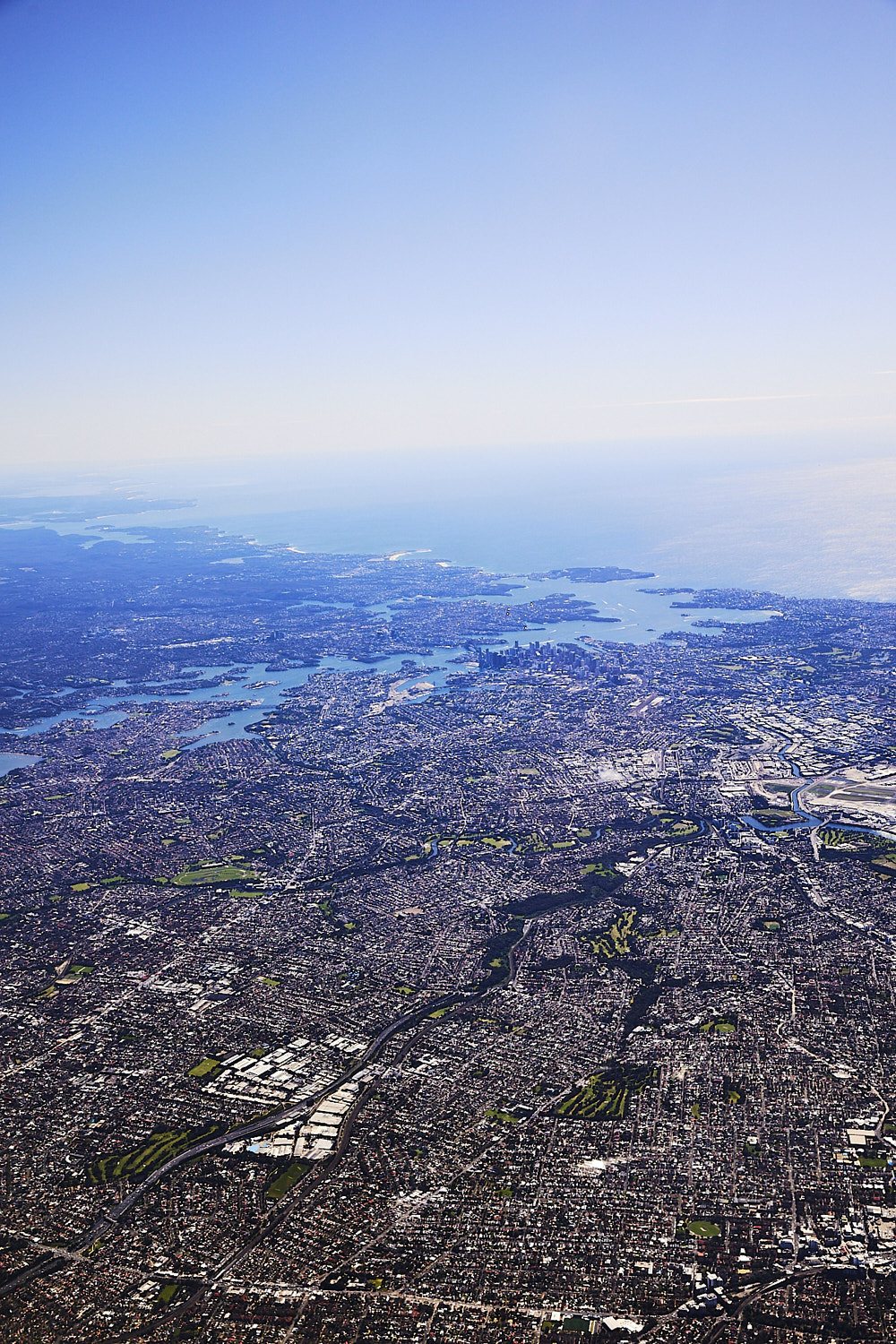 Sydney and its southern suburbs, dense
 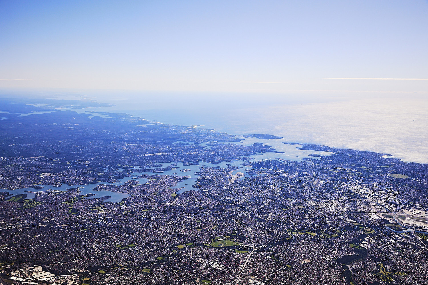 can see the difference between it and the north side
 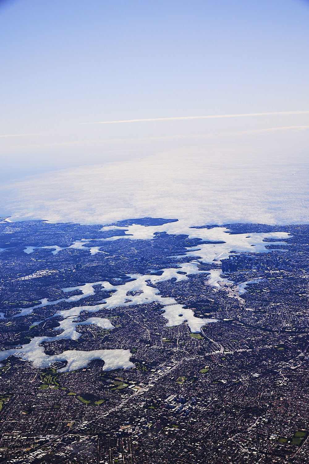 Sydney Harbour
 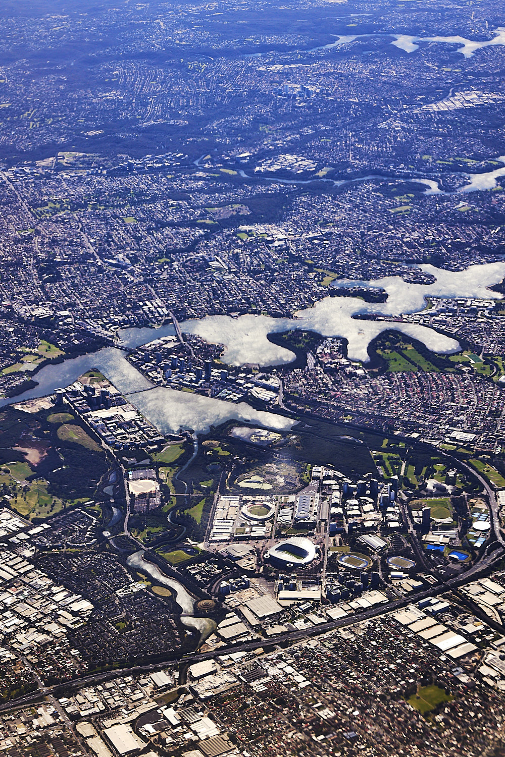 Sydney Olympic park
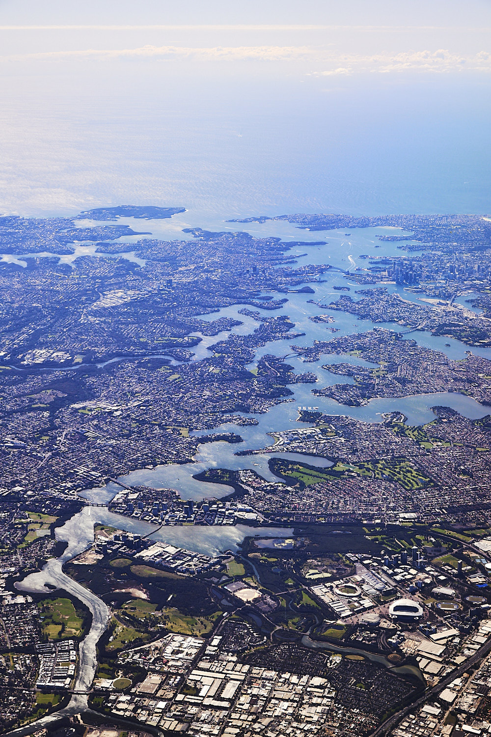
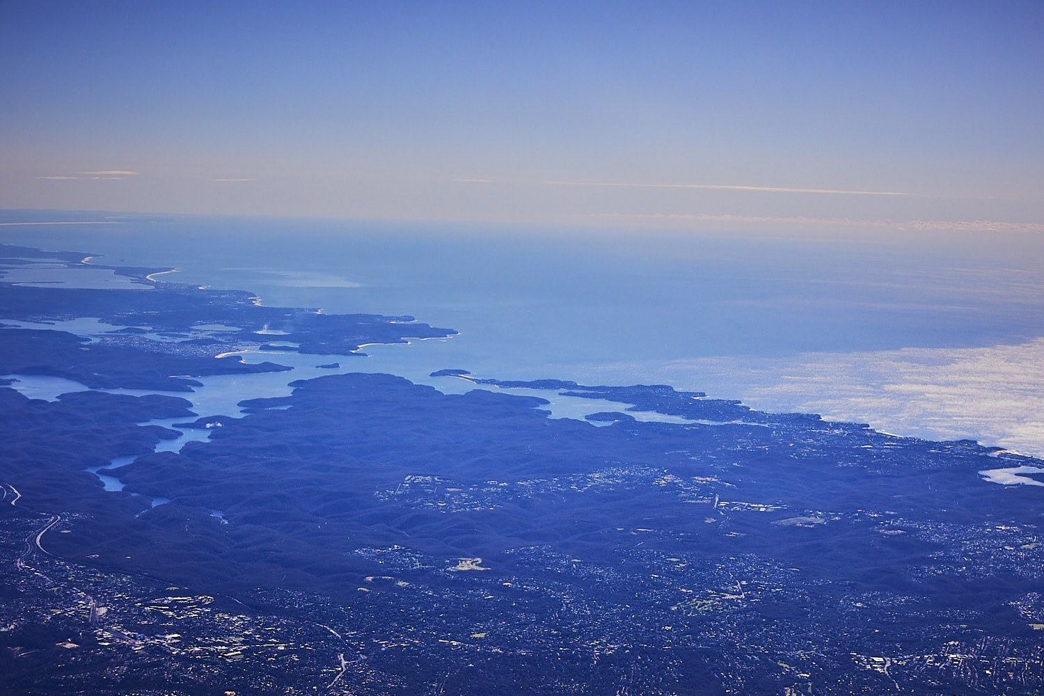 North shore, northern beaches and then the central coast
 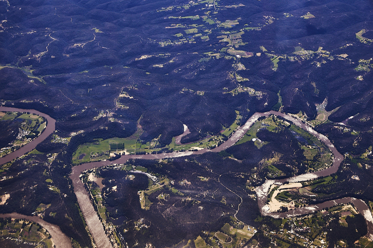 Sackville, Hawkesbury river
 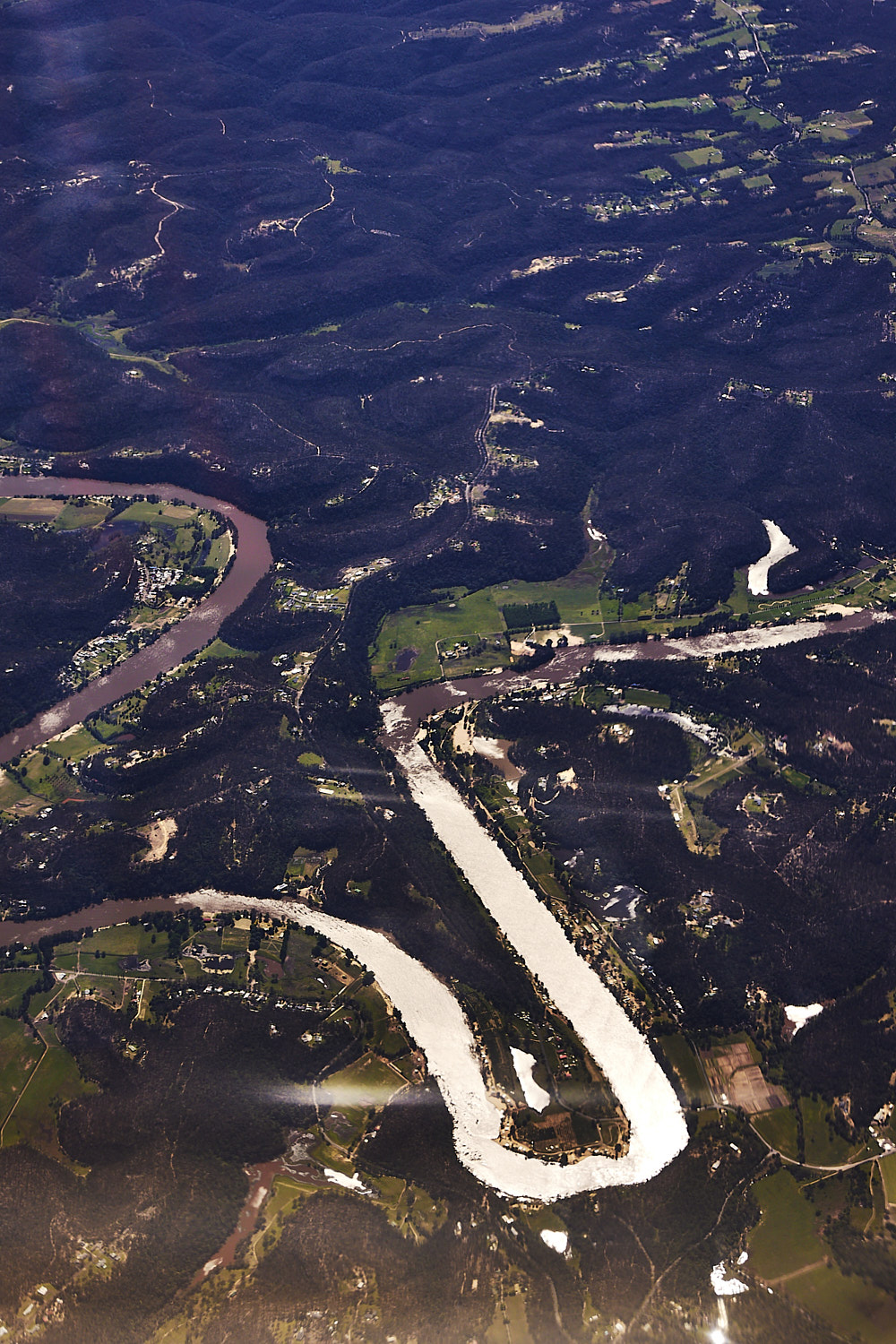 I believe that is to be the site of a new wave pool, right there in Sackville just of the river
 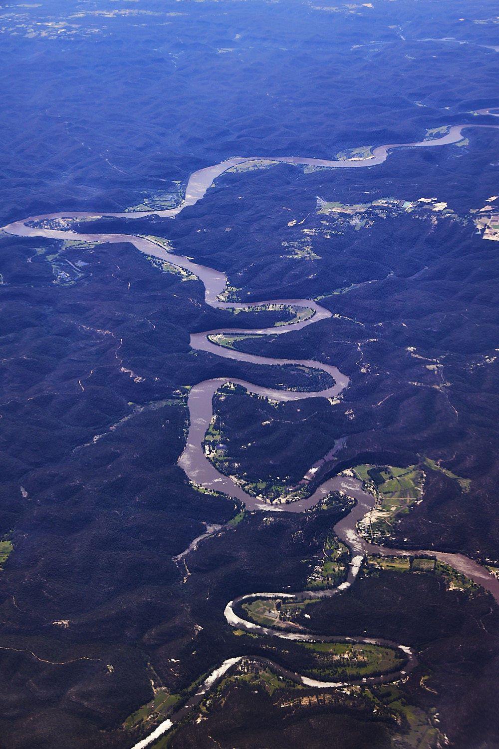 The snaking Hawkesbury River, with Wisemans at the top. Who remembers Ming Darcy’s Happy Valley party, was around here somewhere
 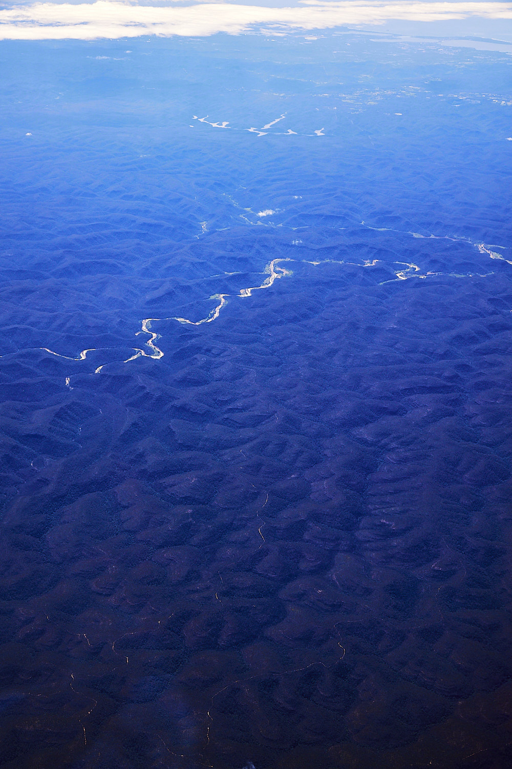 McDonald River , Yengo National Park
 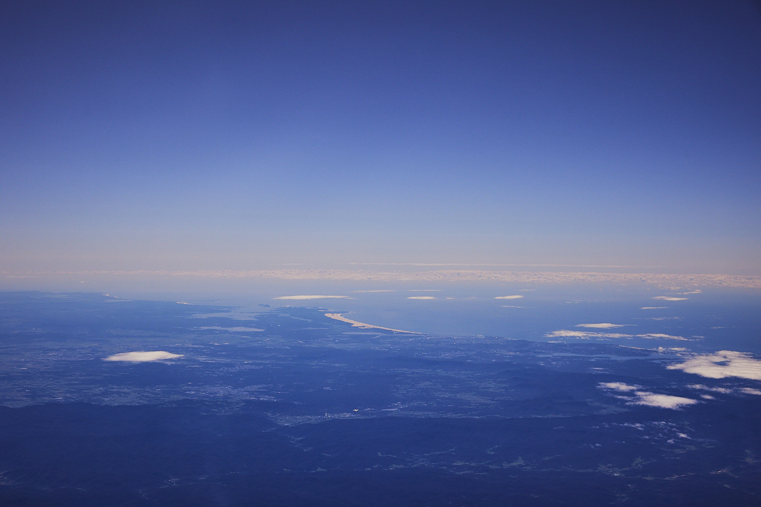 and as we slowly fly inland, away from the coastline, before she disappears on the horizon, last look with the Stockton sand dunes
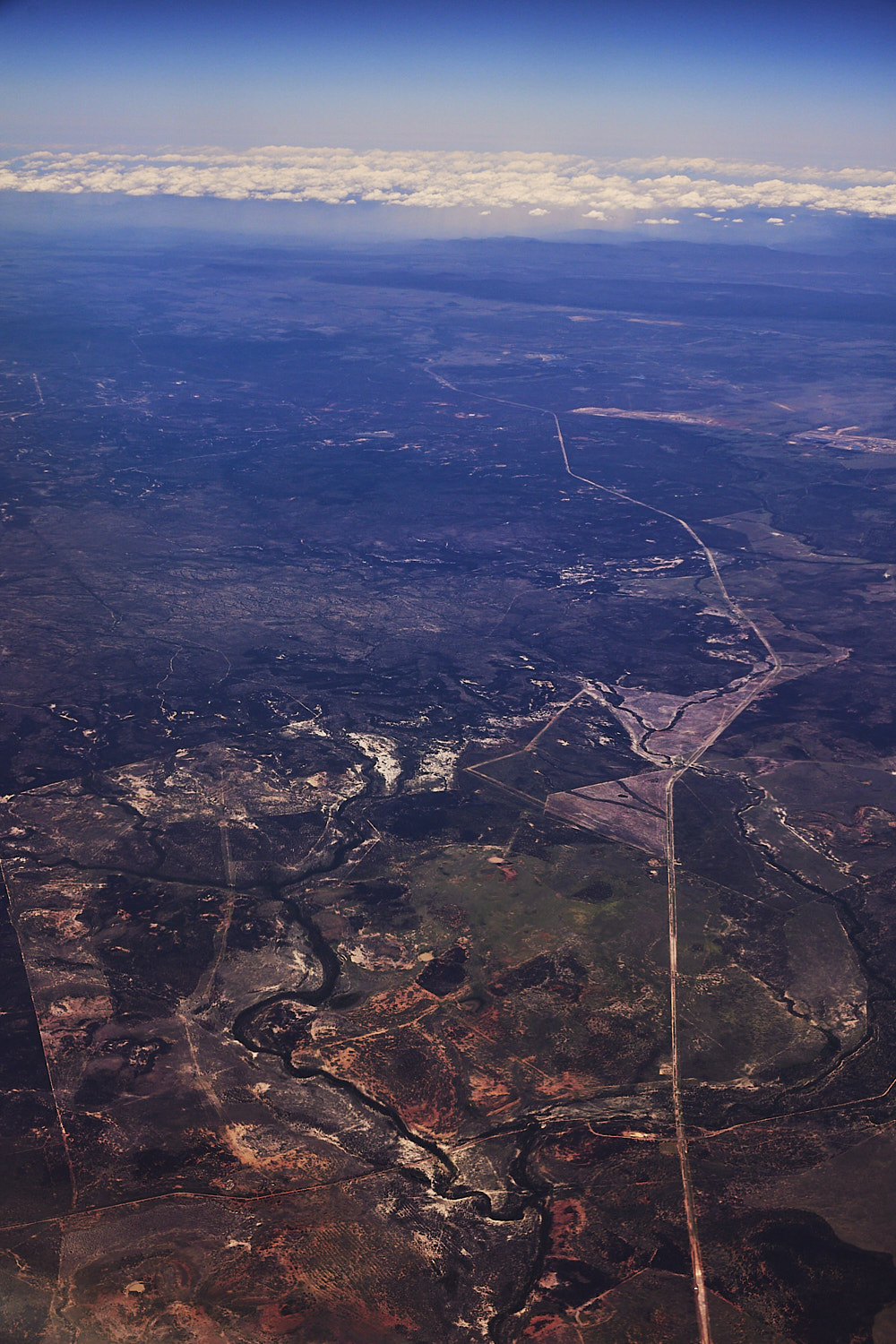
 other side of Yengo National Park Denham and Martindale with the Singleton and Muswellbrook mines in the middle ( hard to visualise through the haze )
 Near Caroona and the Mooki River causing problems
 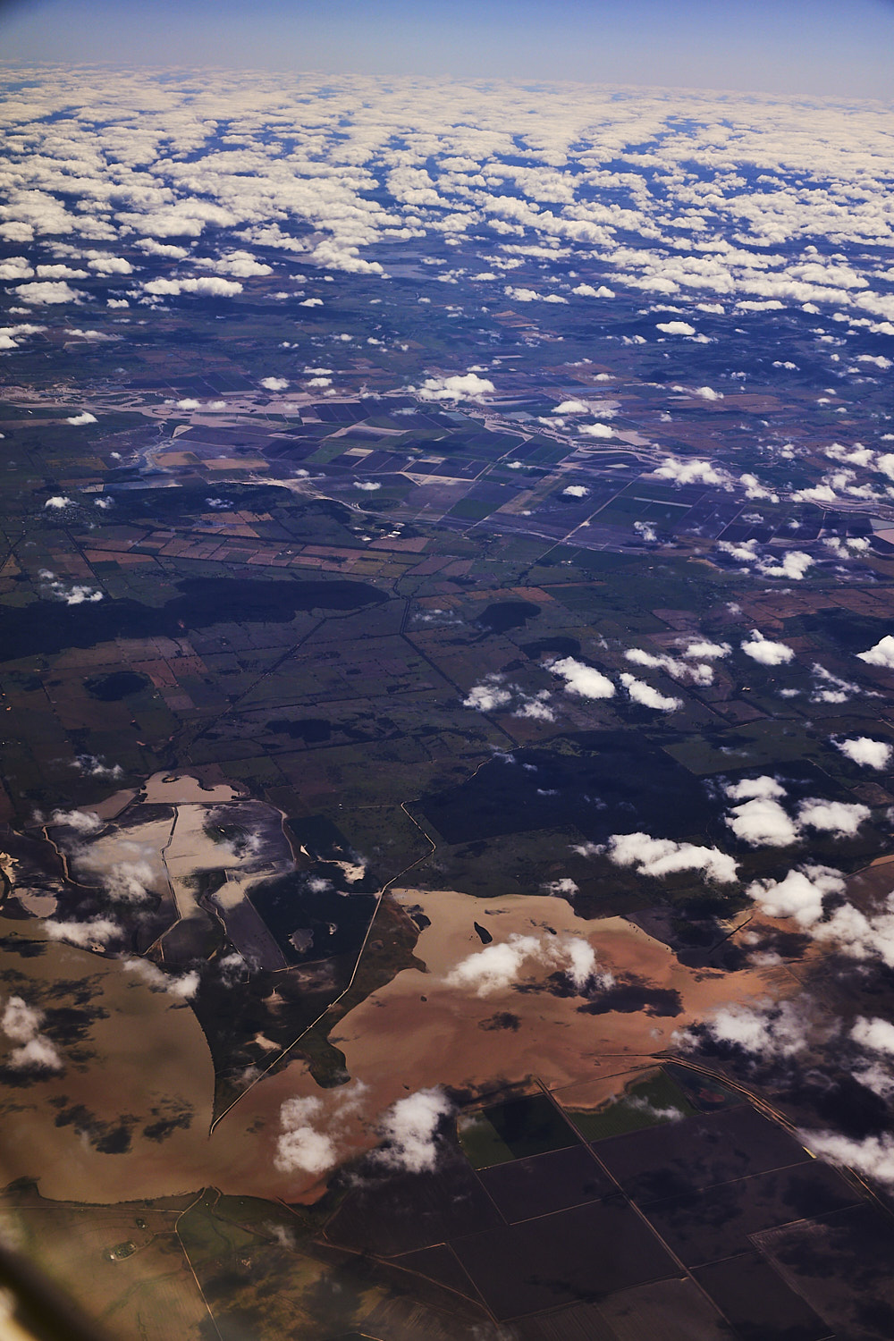 Town of Curlewis at the top and Lake Goran at the bottom, and yes, crossing of Lake Corran road is flooded
 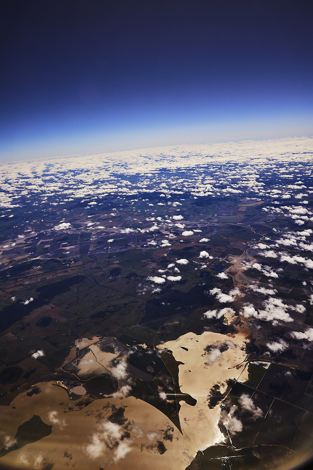 even though no rain clouds in sight, there are several bad flood situations at play today in all these outer west NSW regions
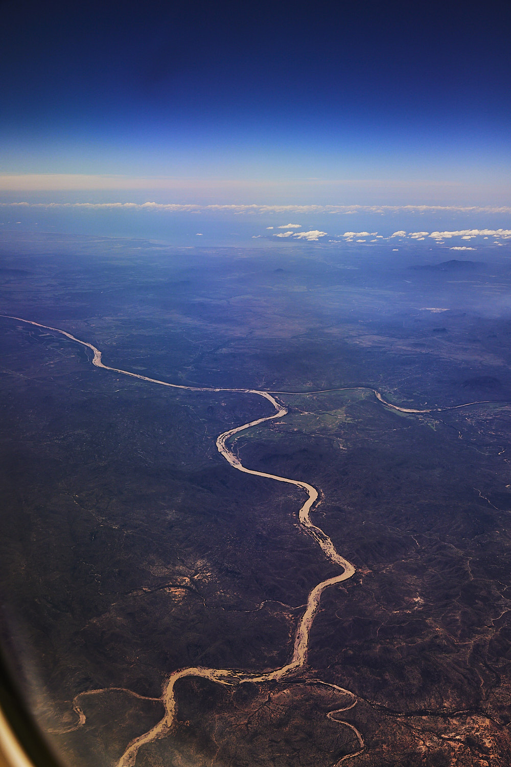
 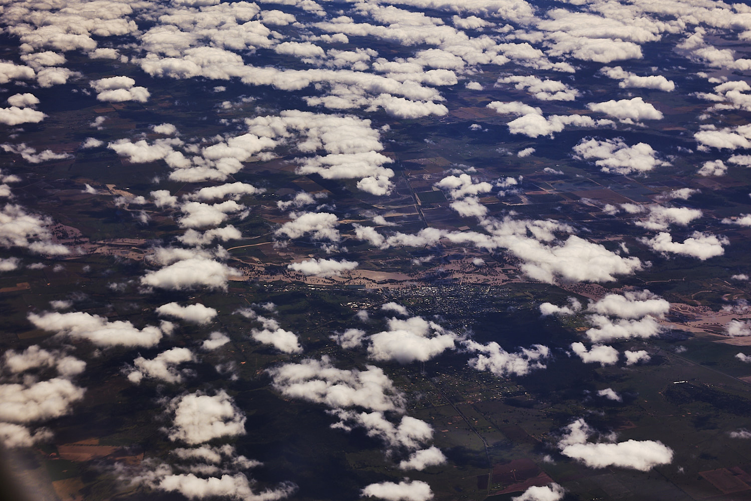 The town of Gunnedah
 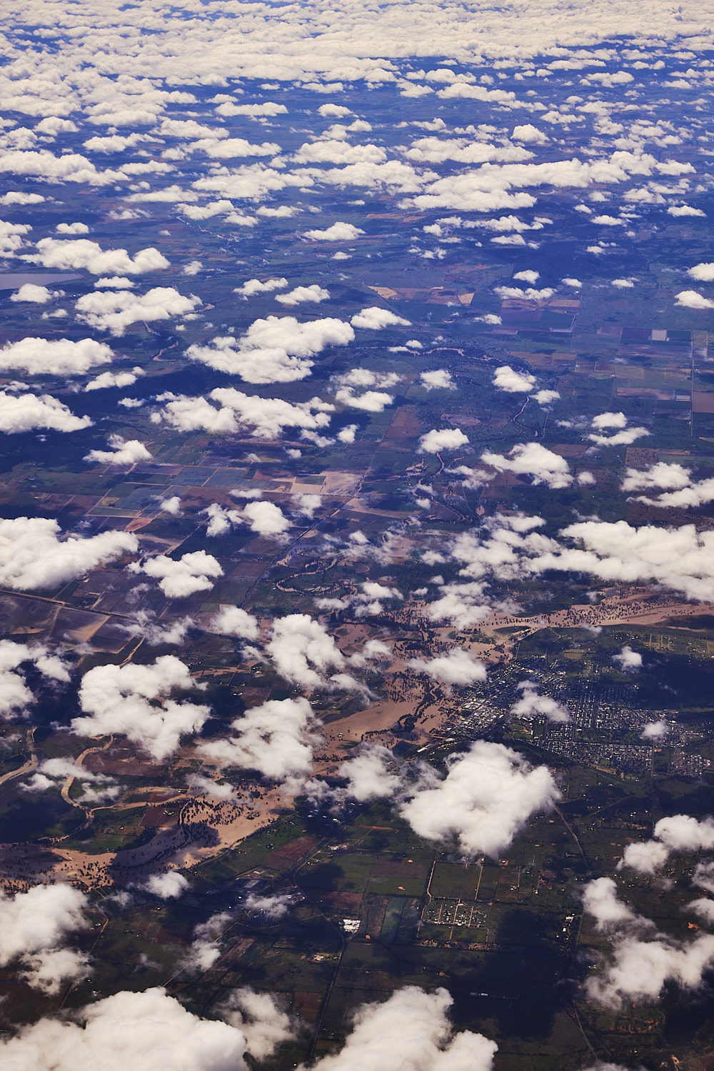 with the Namoi river causing some problems as well
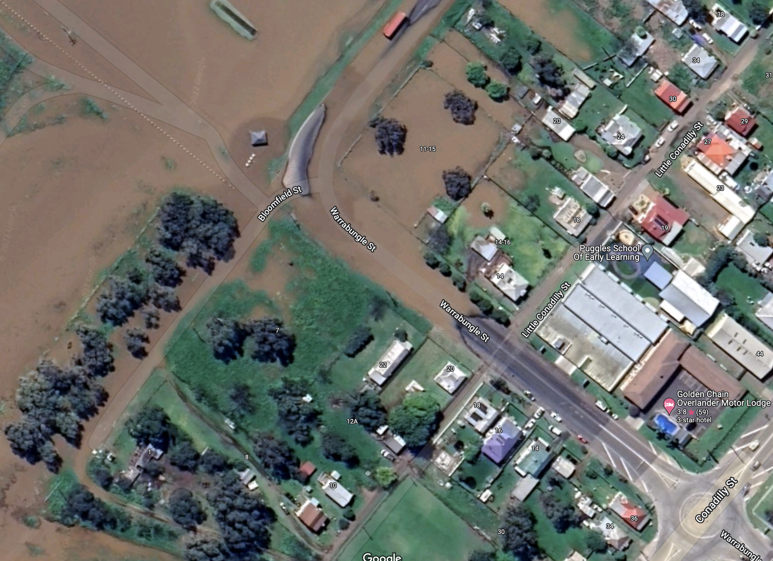 strange, even the google maps satellite view has the streets flooded
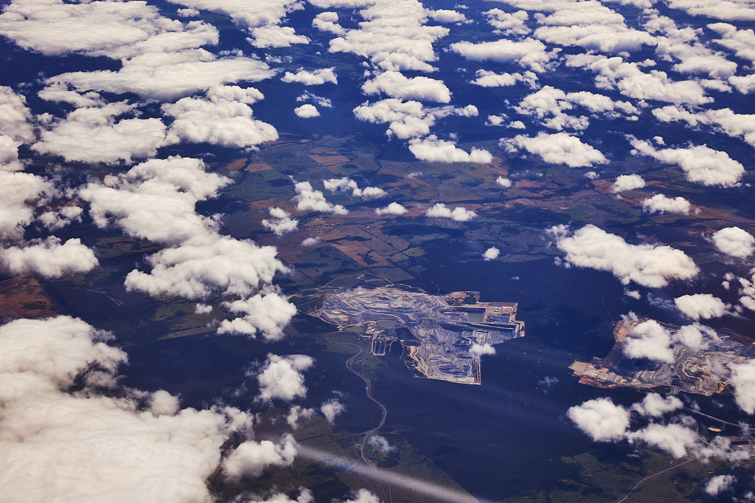 Whitehaven coal mine next to Tarrawonga coal mine,
 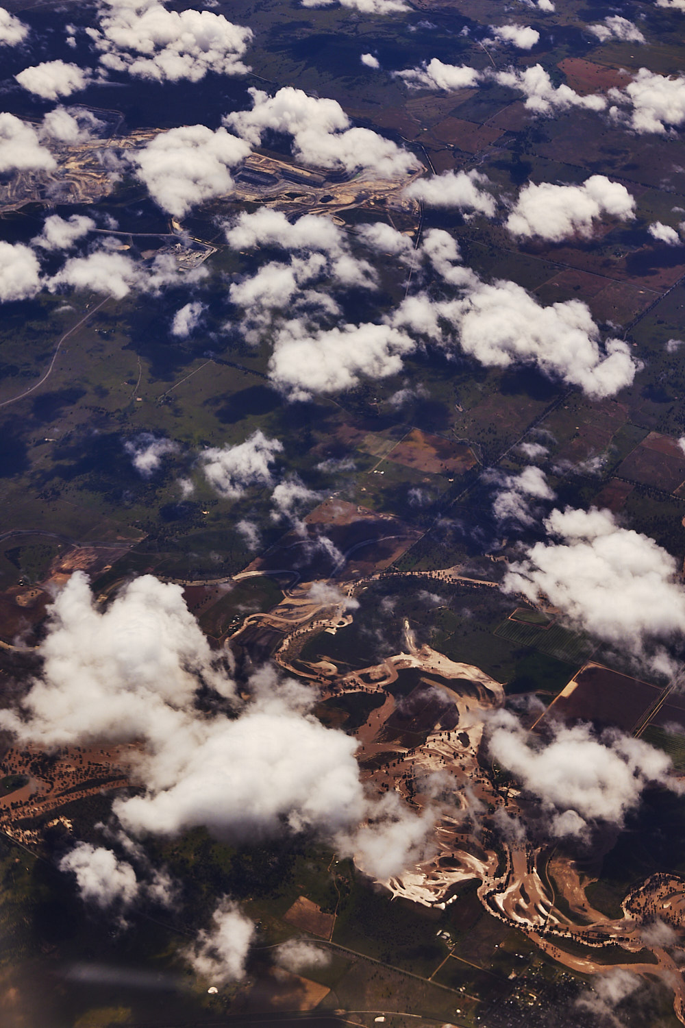 Namoi river, just below the coalmine, at the town of Boggabri causing problems, and then you think about the issues of climate change and the correlation of the burning of fossil fuel….the effects of it visible here near the coal mine
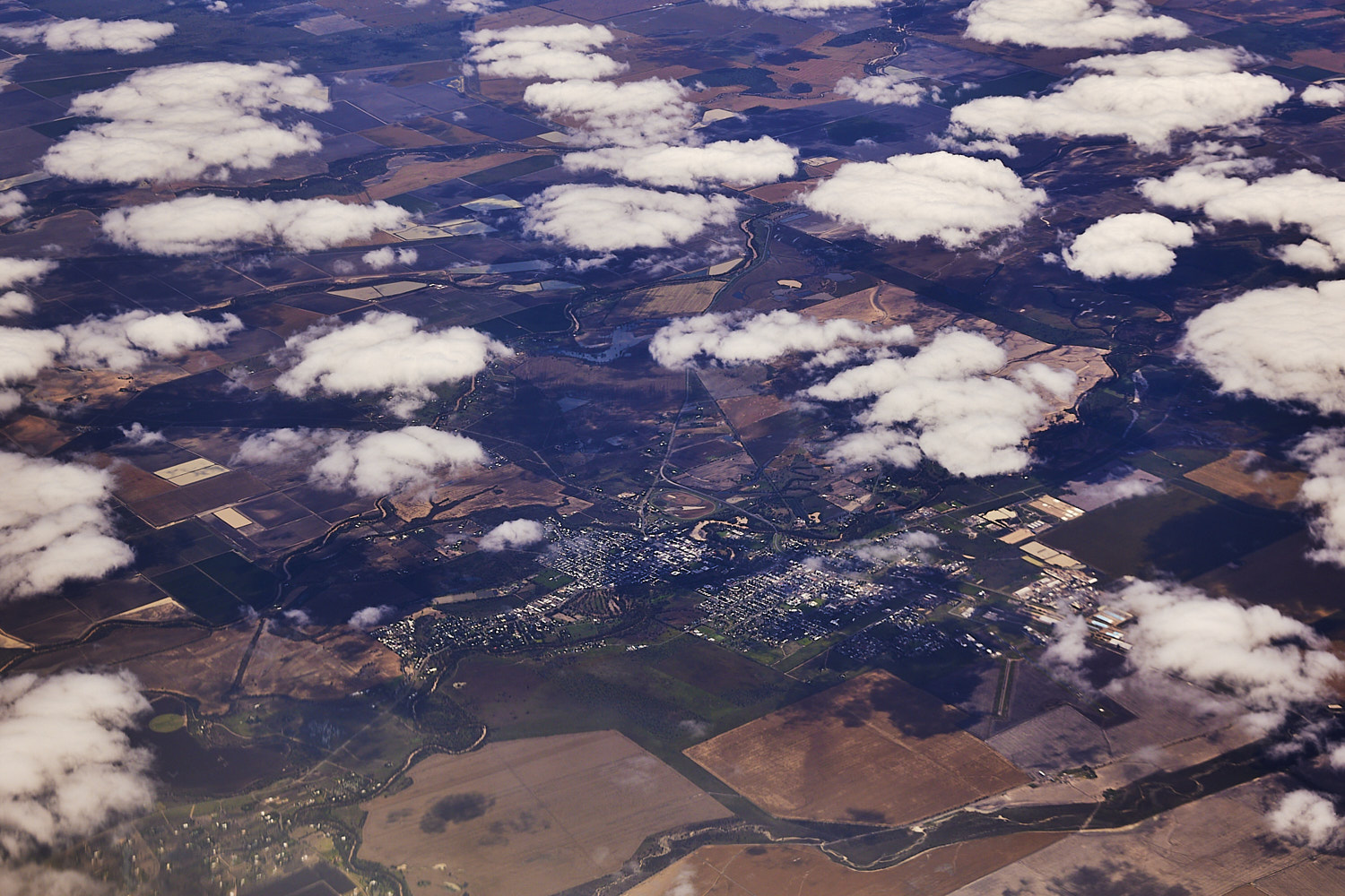 Moree, also on a flood alert today
 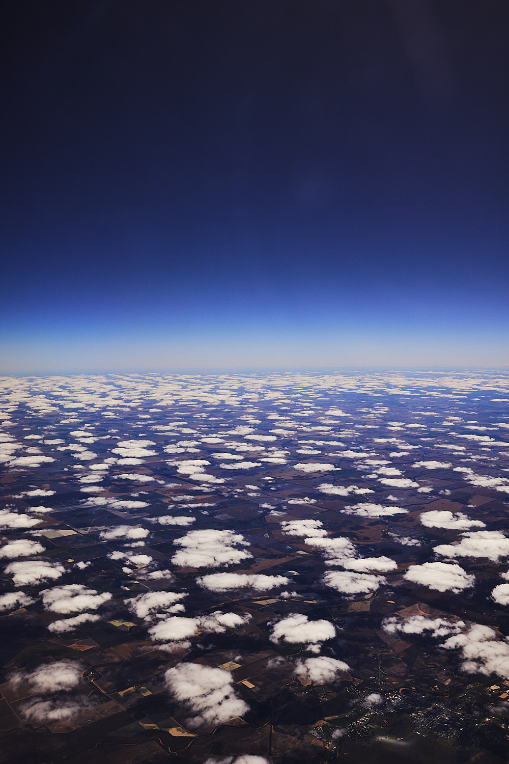 Looking towards the Queensland border
 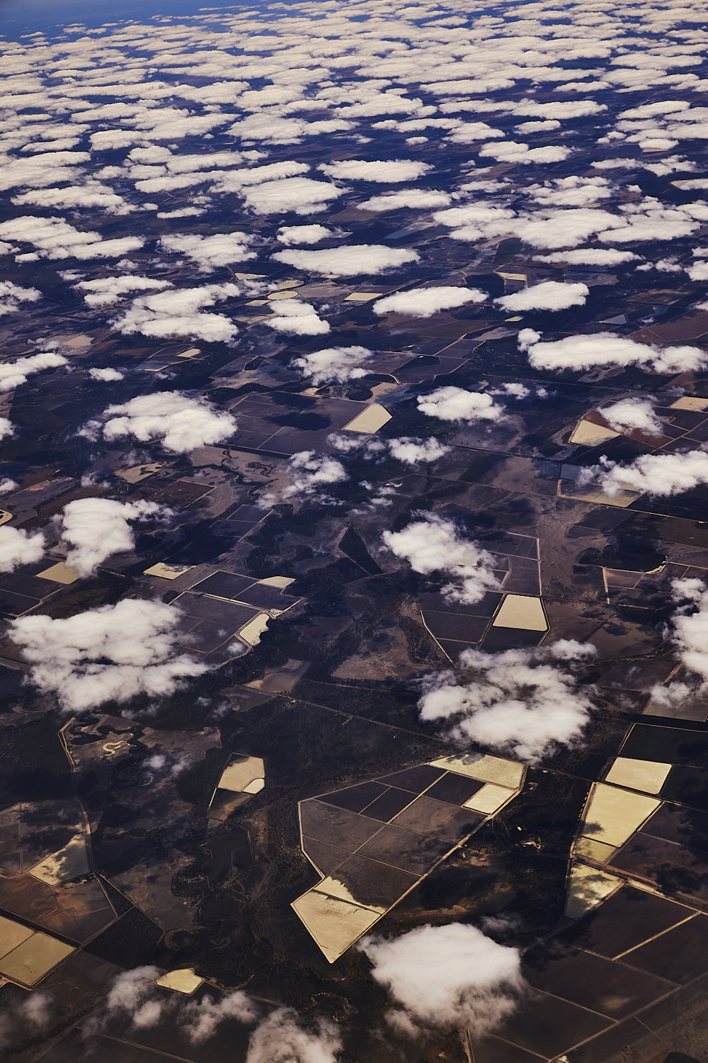 Moree Plains
 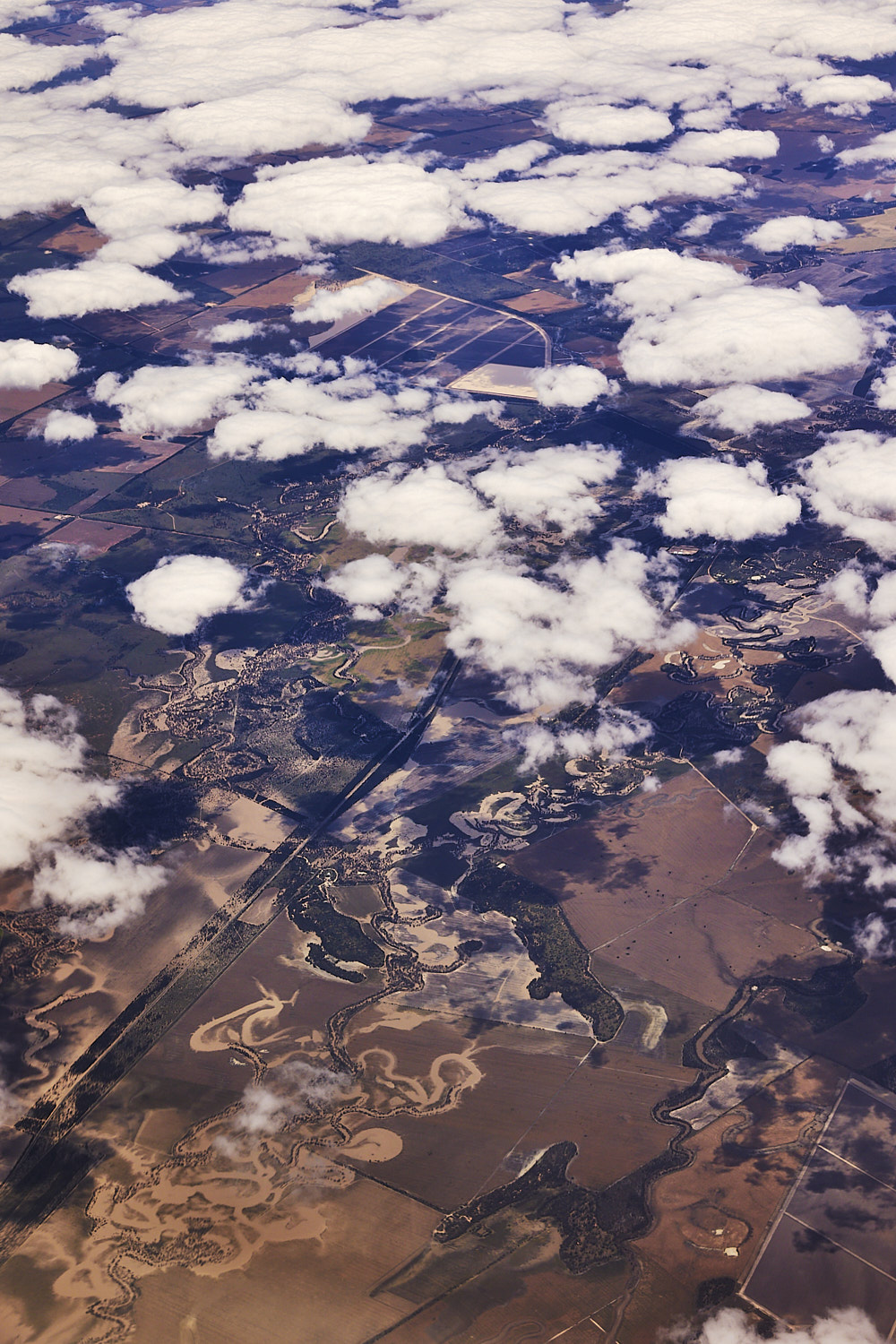 and we crossed over into Queensland, Bungunya
 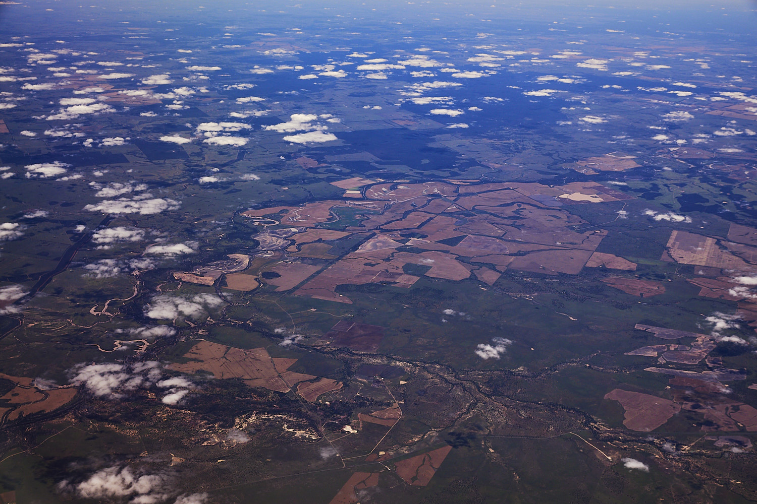 Noorindoo
 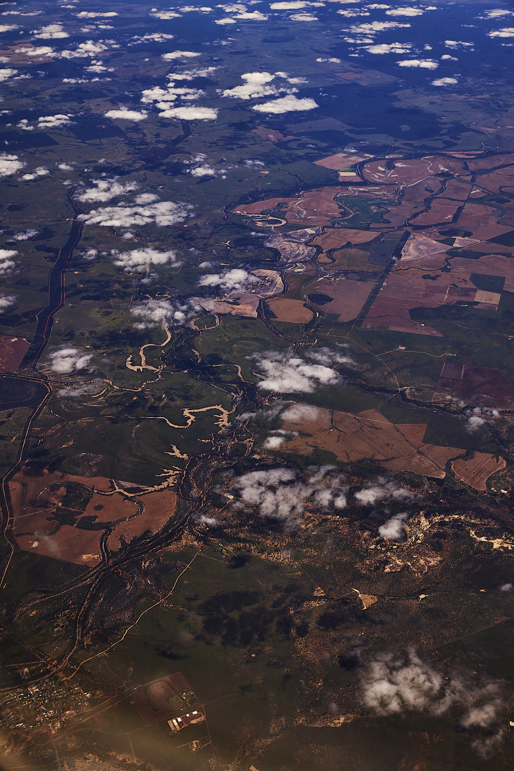 the town of Surat on the Balonne River
 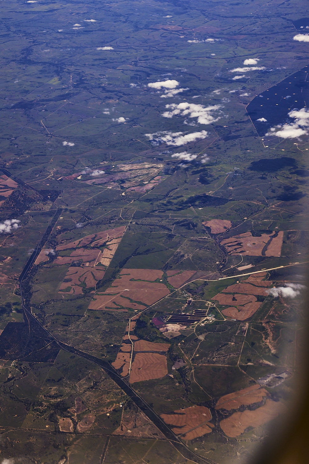 Brindley PArk Feedlot in the center ( think mass produced cattle farm )
 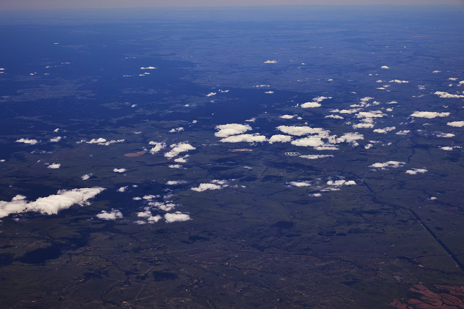 some type of water plant or aquaculture there in the middle
 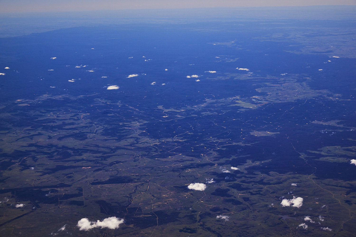 Hallet State Forest
 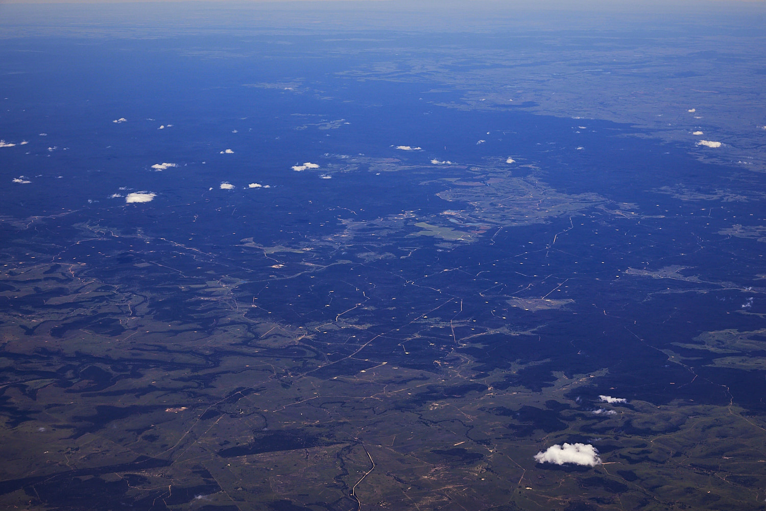 and that looks bad, dotted everywhere, fracking
 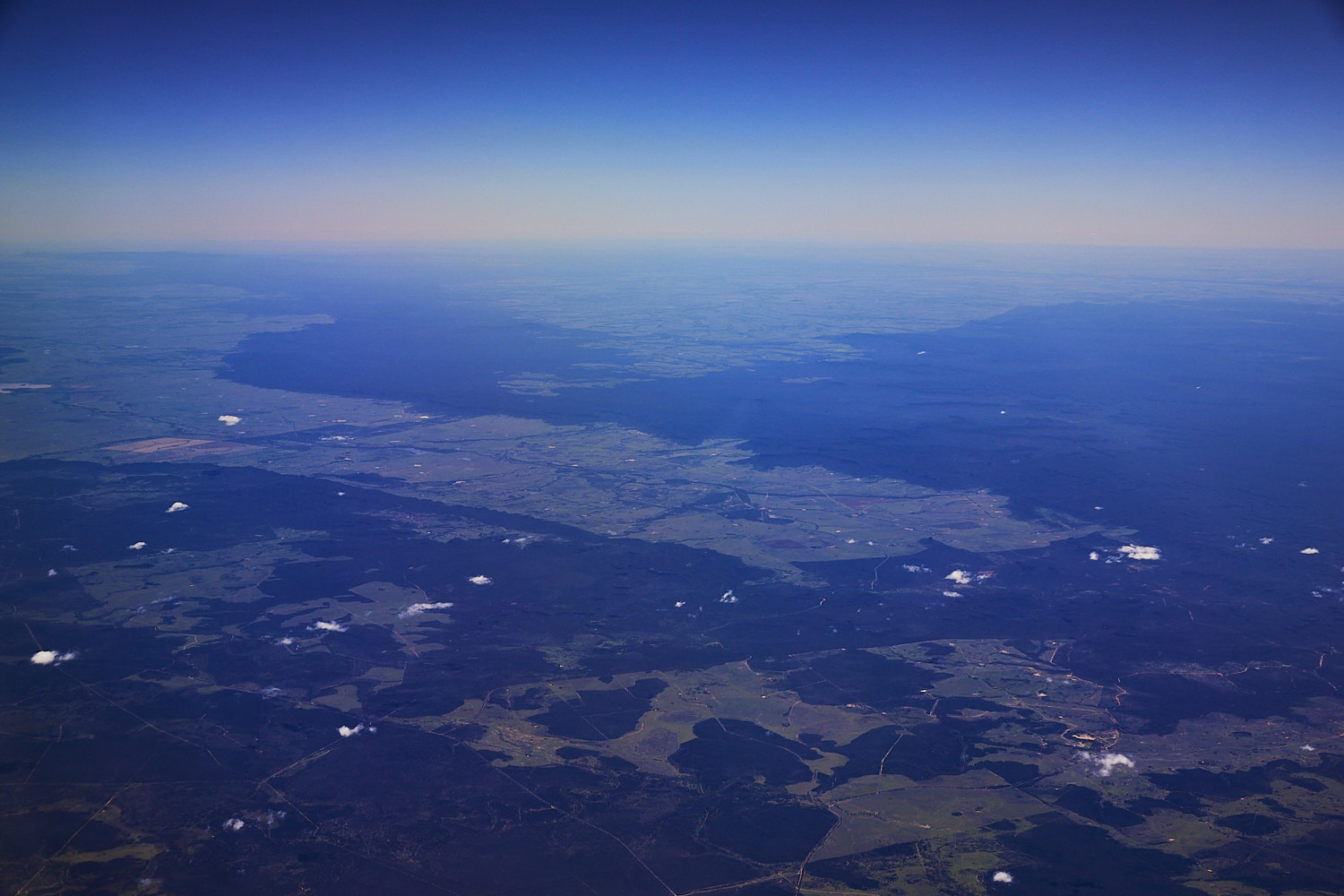 Arcadia valley
 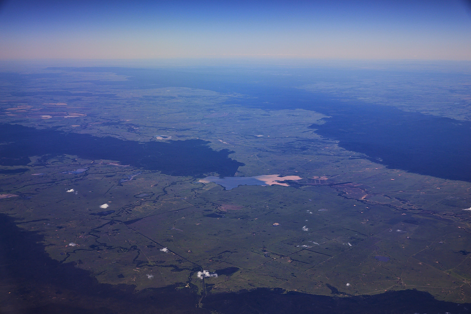 Lake Nuga Nuga
 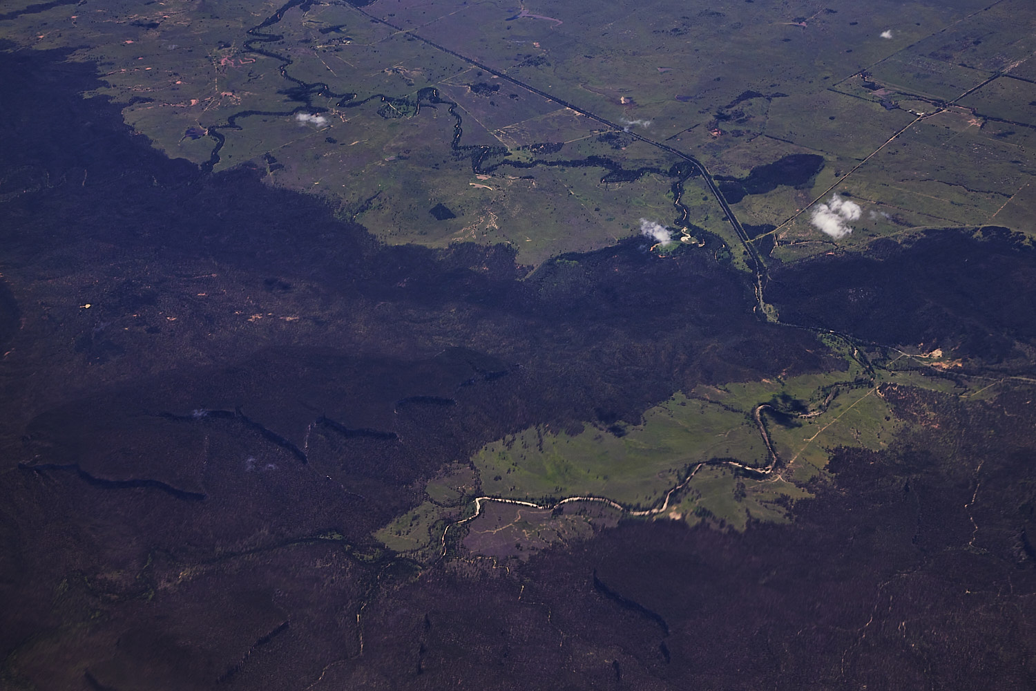 interesting looking at Bandana State forest and Bullaroo creek, just of Carnarvon Highway
 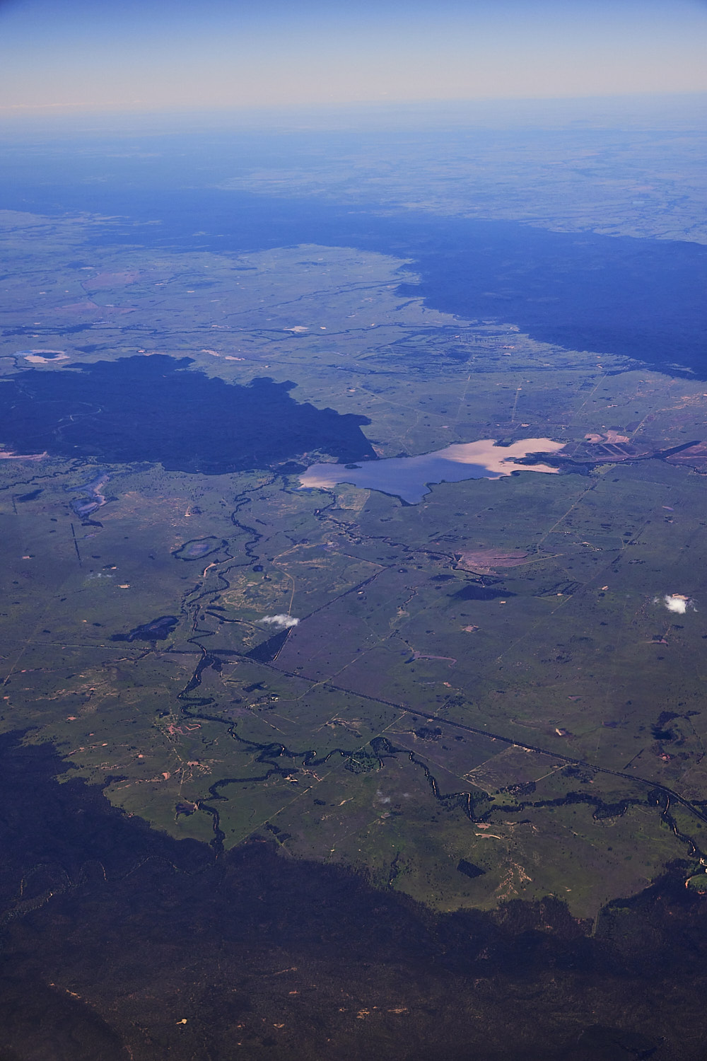 Nuga Nuga National park and lake
 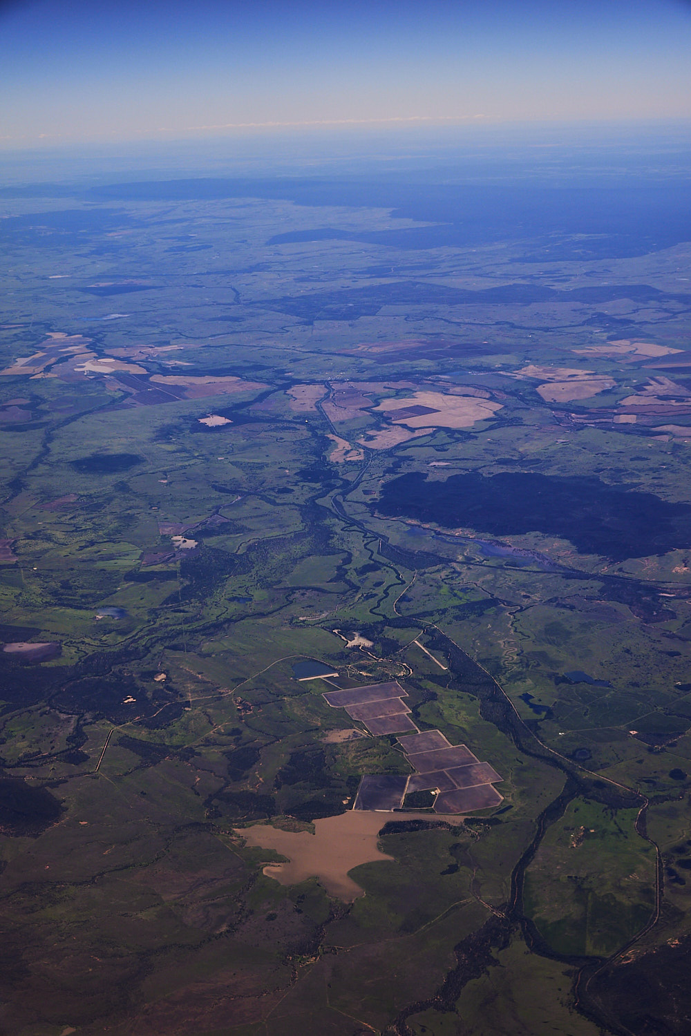 Farmland near Consuelo
 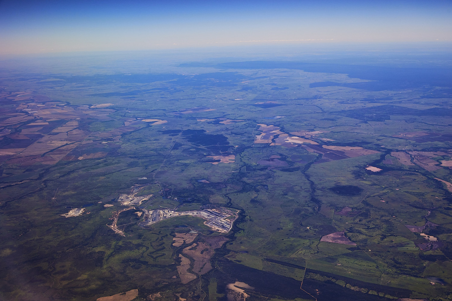 Orion to the left Albinia in the middle Mount pleasant state forest on the bottom
 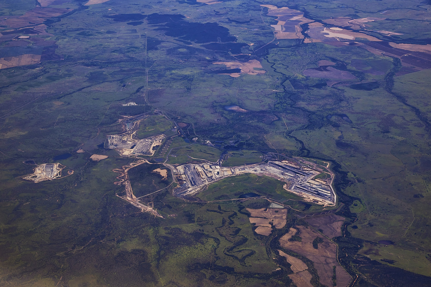 Rolleston mine, Albinia
 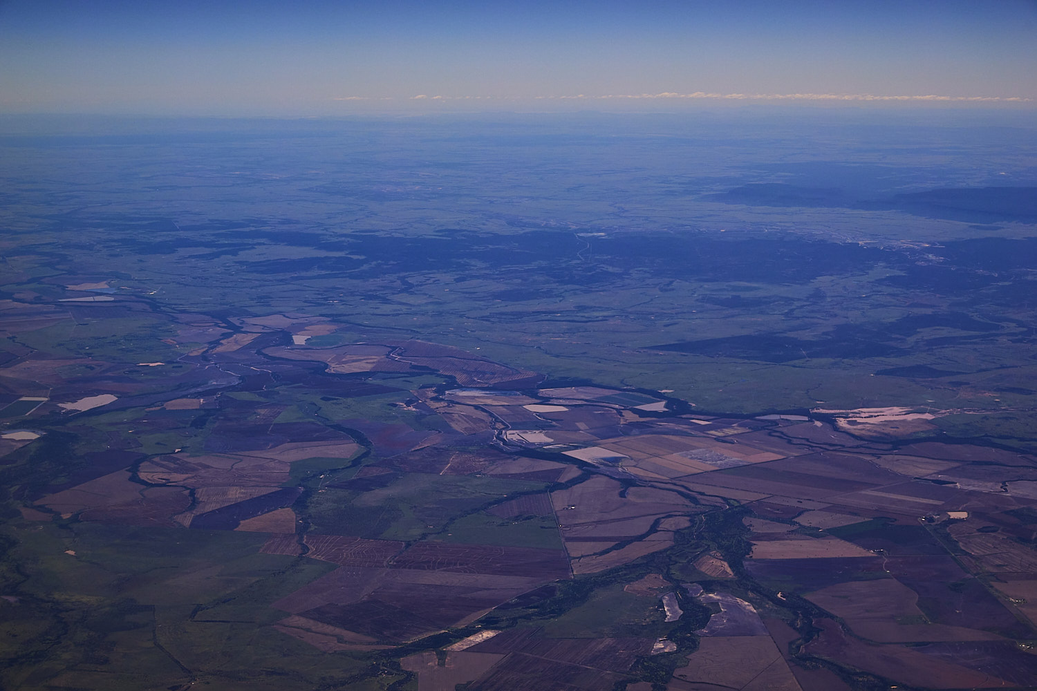 Togara
 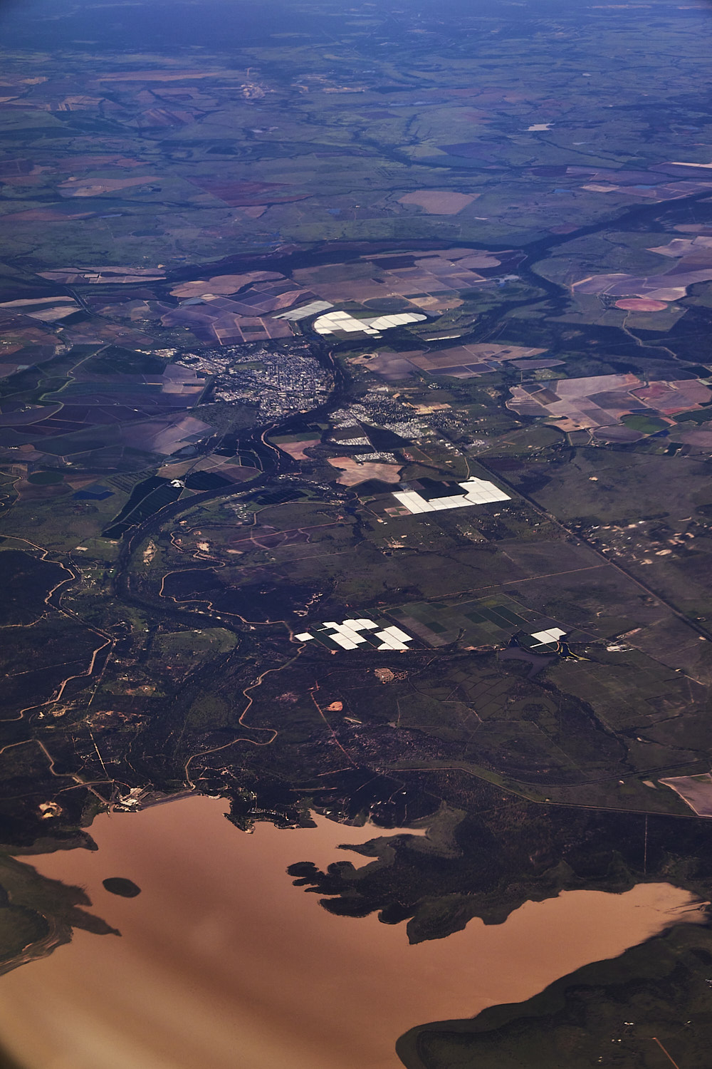 Lake Maraboon
 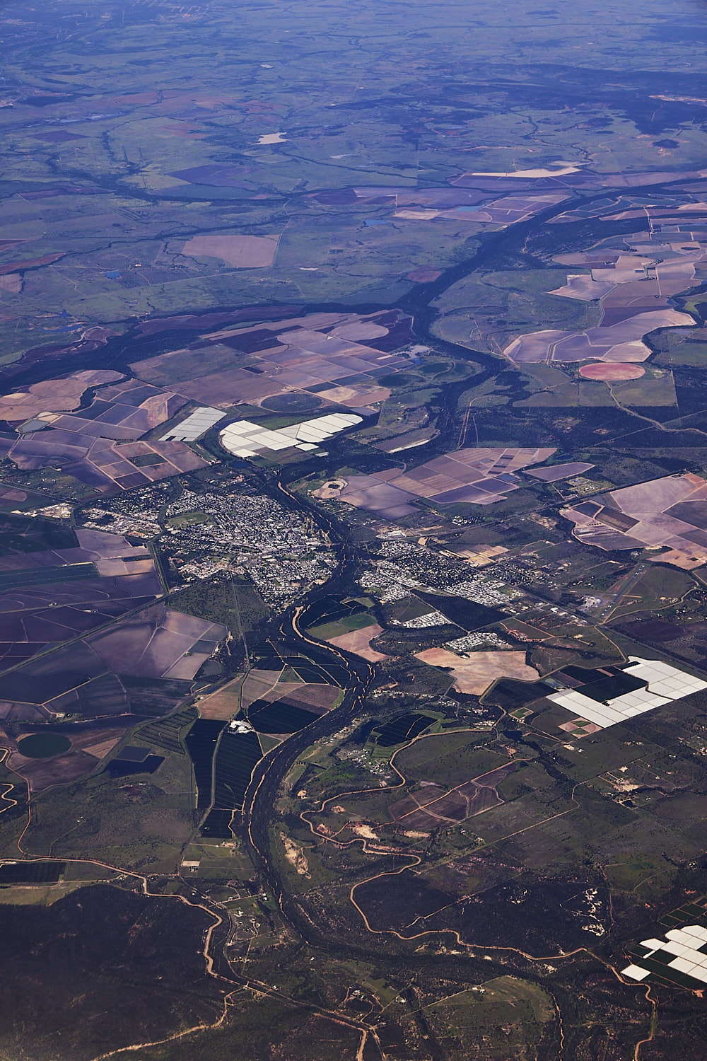 and Emerald City near lake Maraboon
 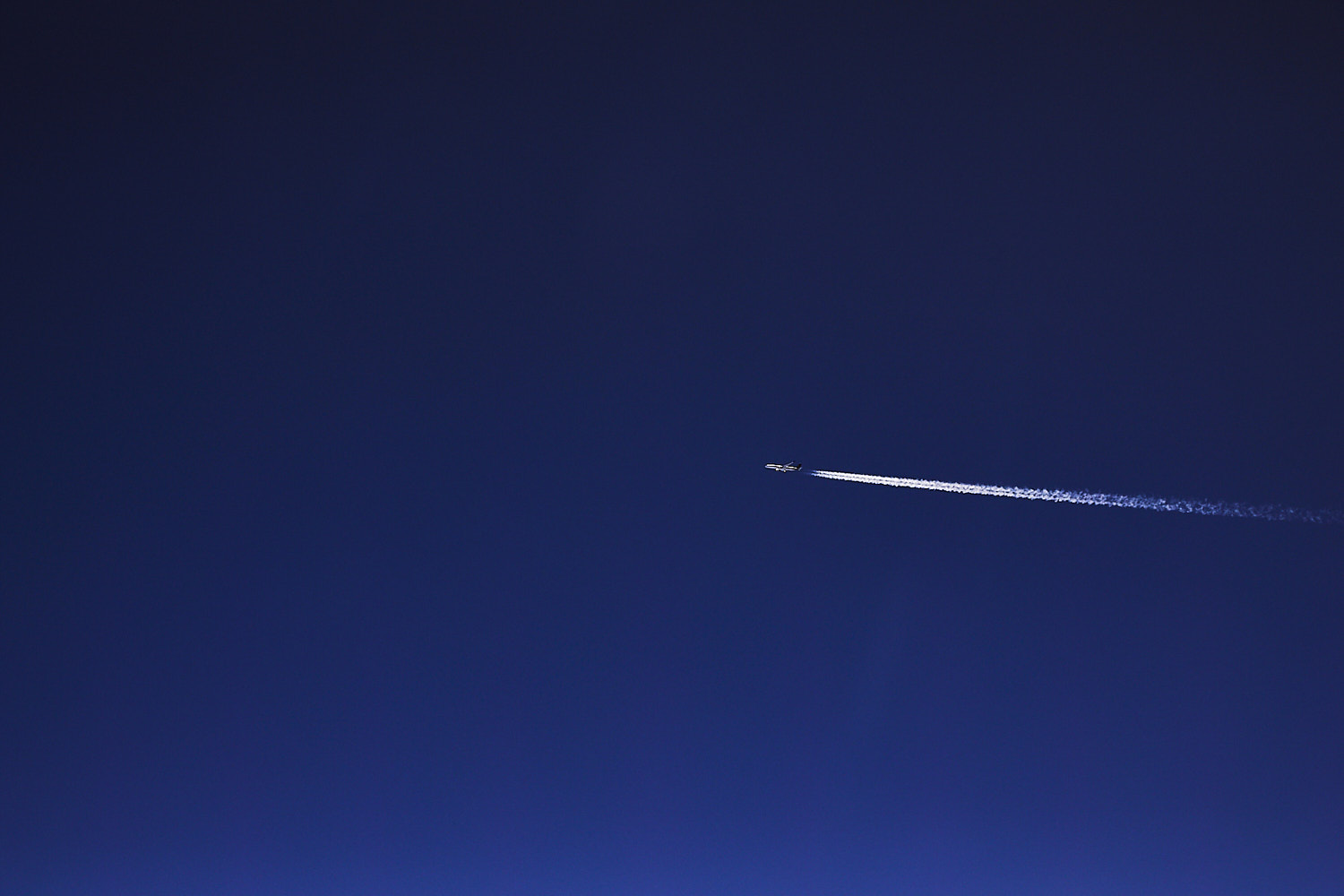 we’re not alone
 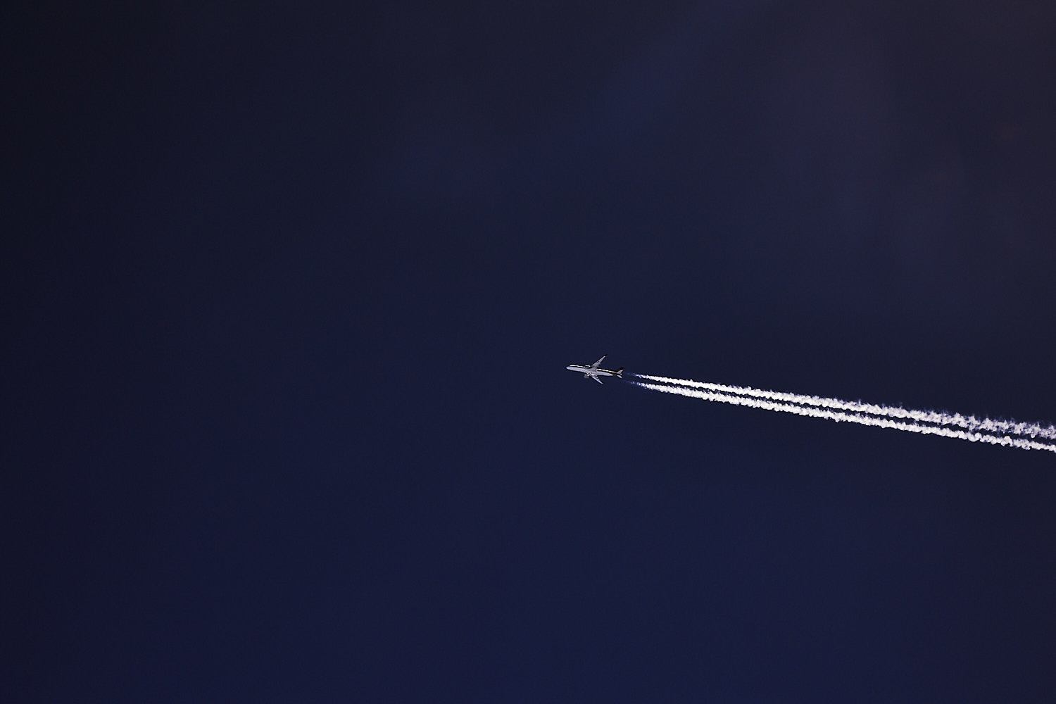 Brisbane > Singapore flight
 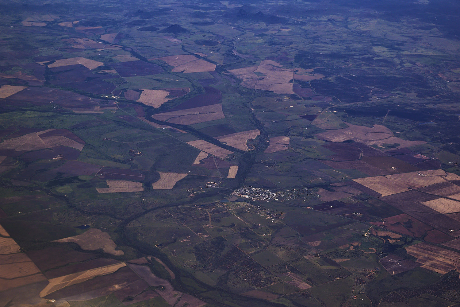 Capella
 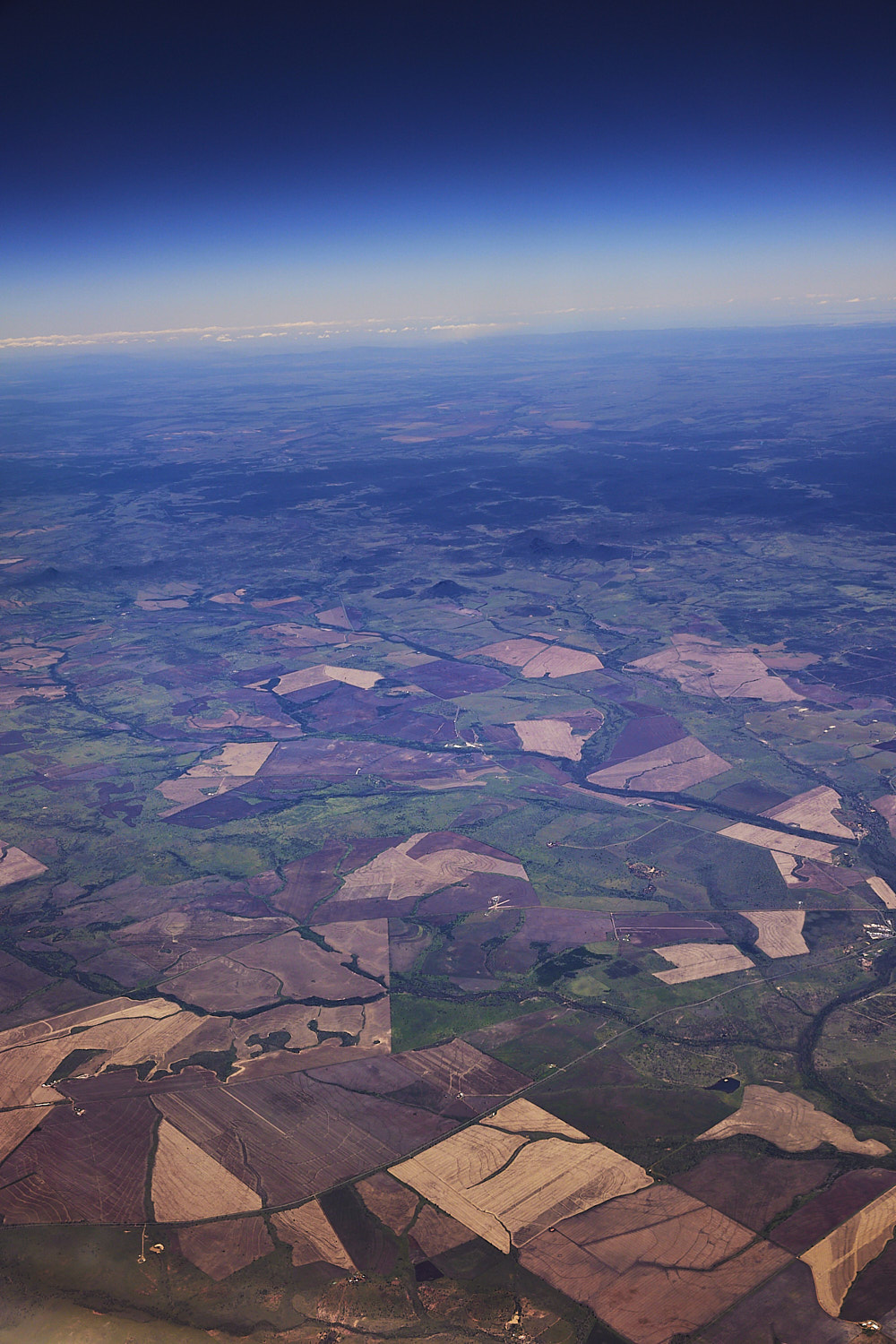 Fertile looking land out near Lowestoff
 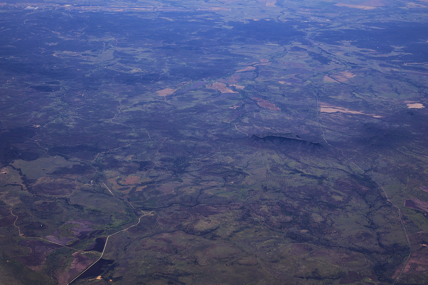 Peak Range national park in the middle
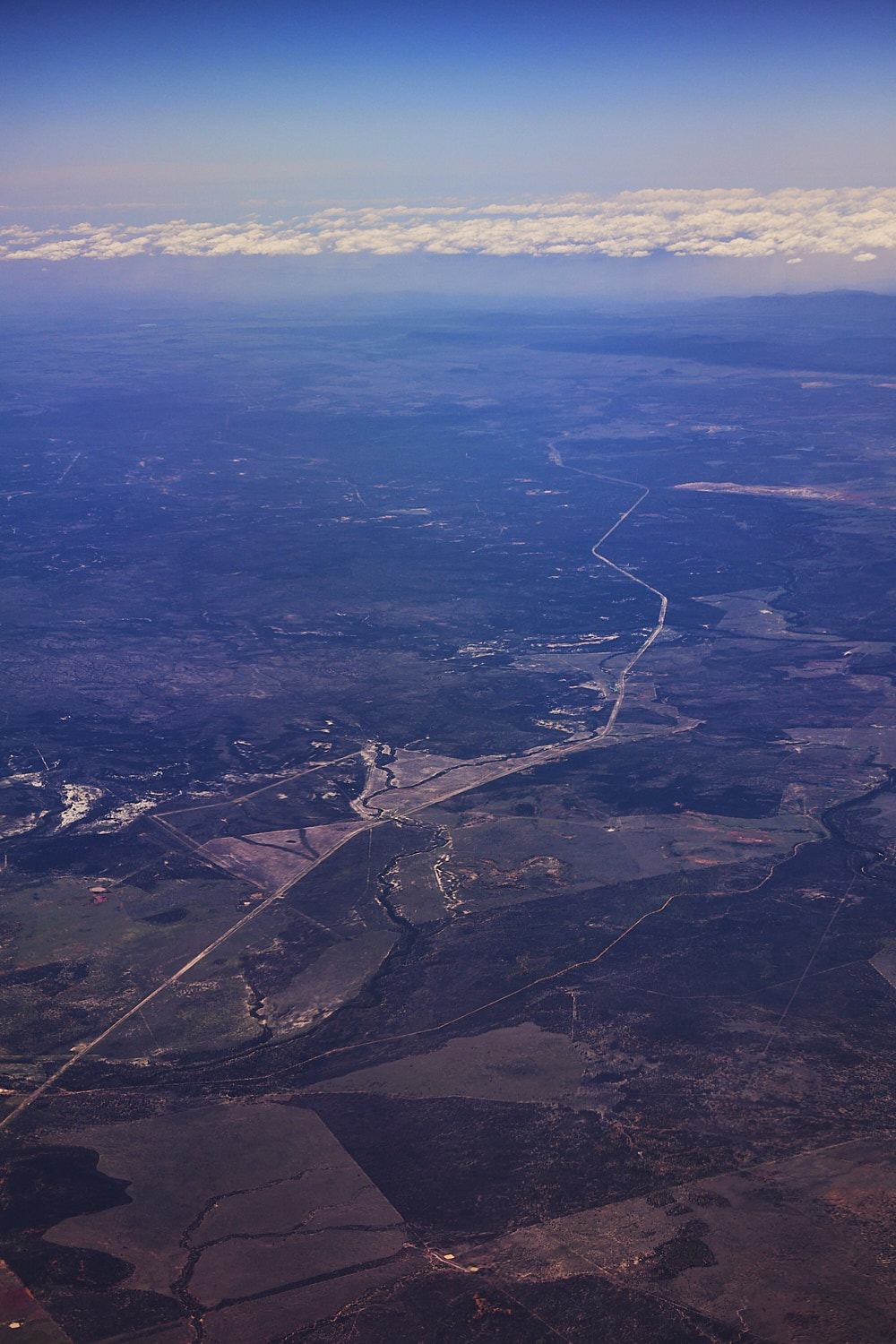
 Burdekin River
 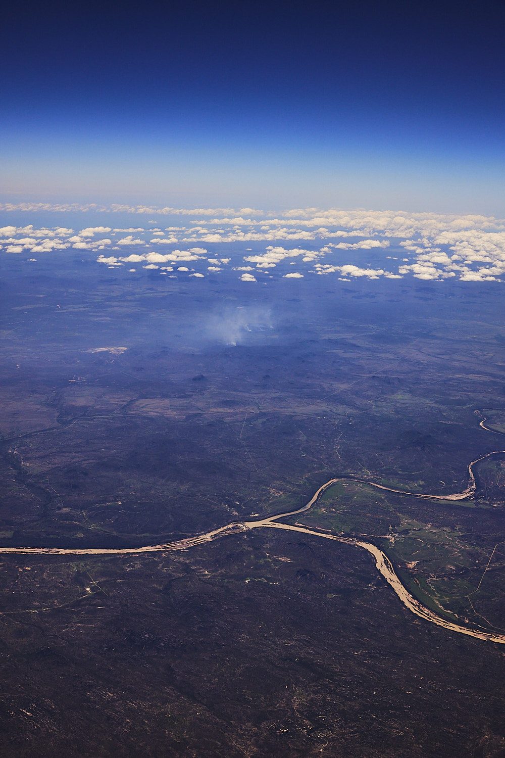 Burdekin joined by Bowen river
 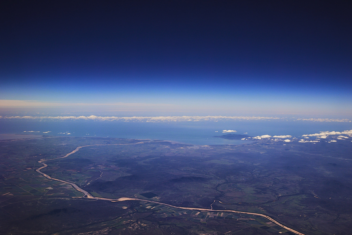 Burdekin snaking to the Ocean near Ayr
 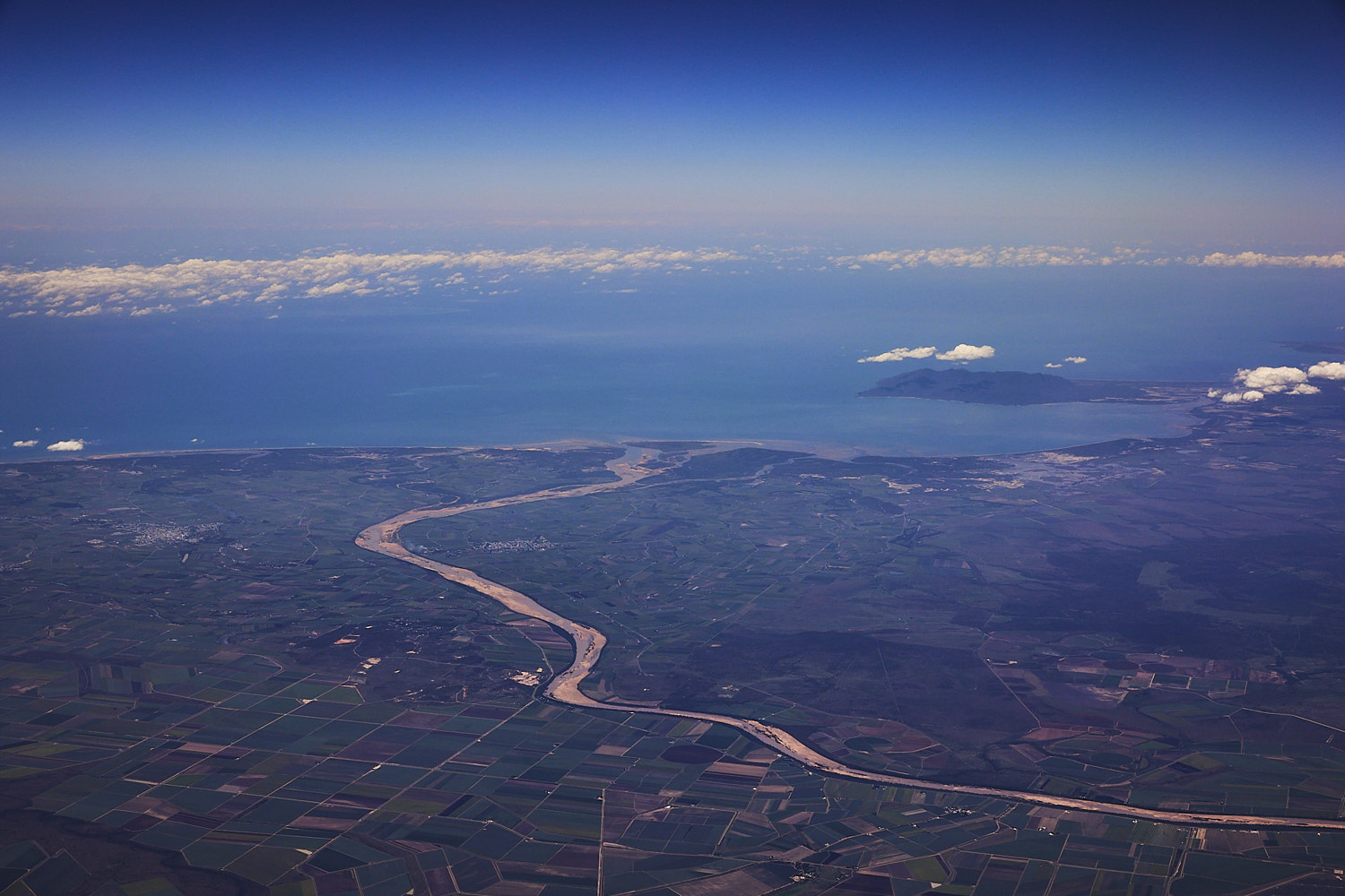 lots of farm fields here
 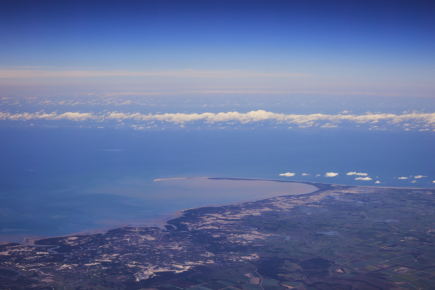 Jerona and Russel Island
 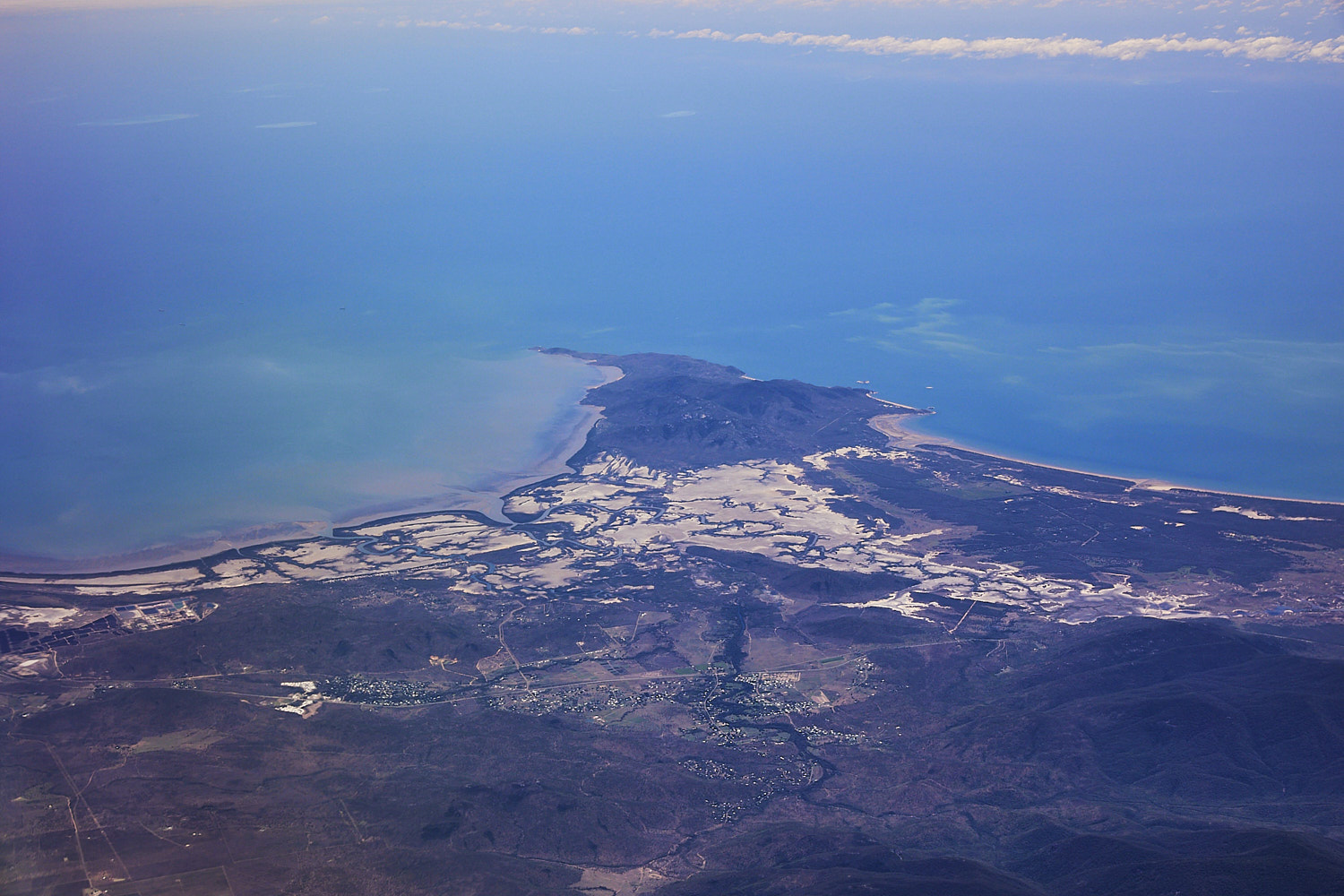 Cape Cleveland and Nome
 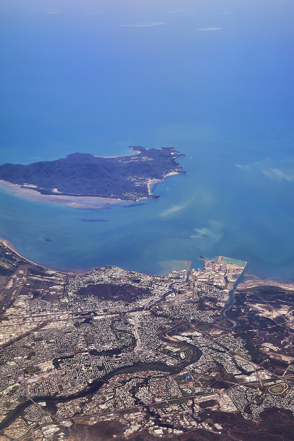 Magnetic Island of Townsville
 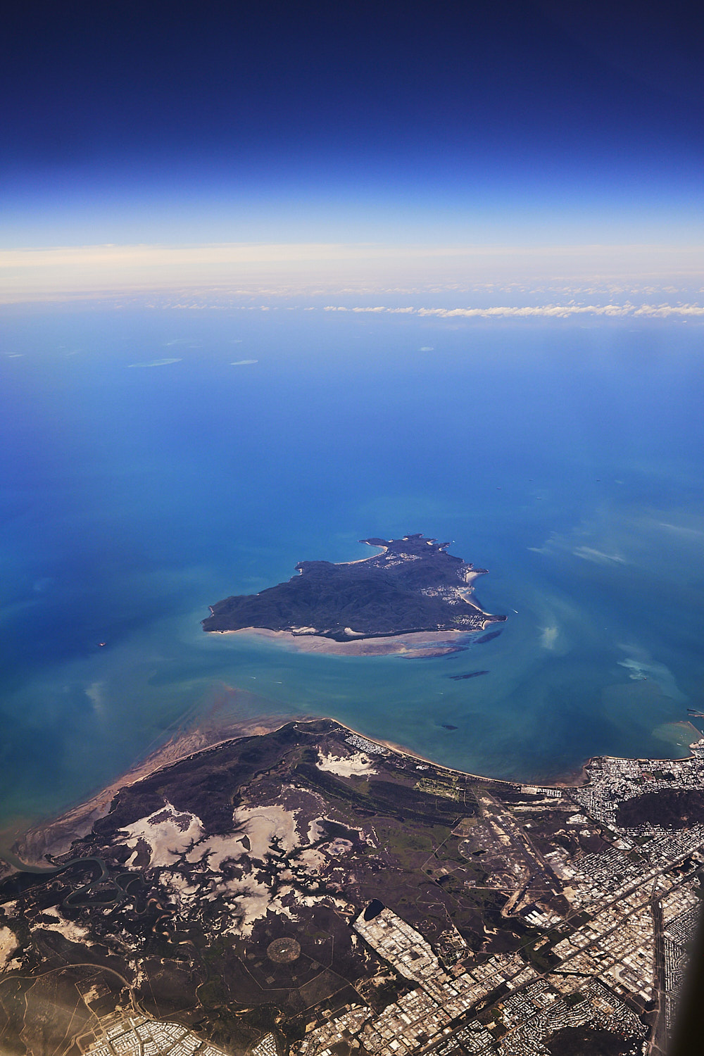 Magnetic Island, and military antenna in the center circle area
 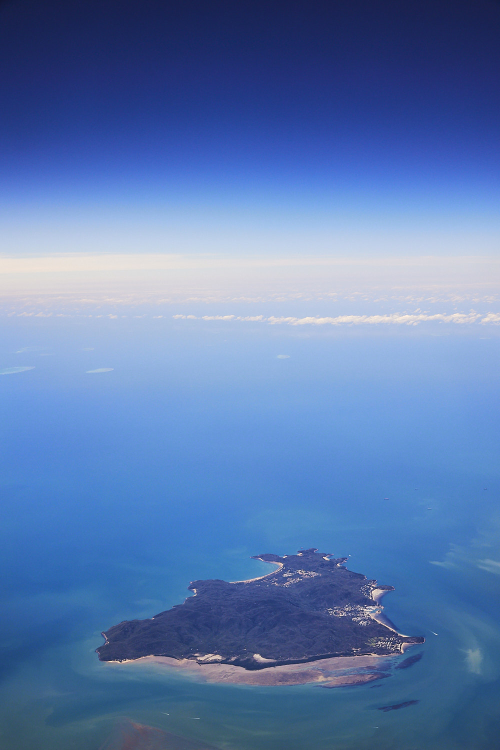 Cockle Bay Reef off Magnetic island
 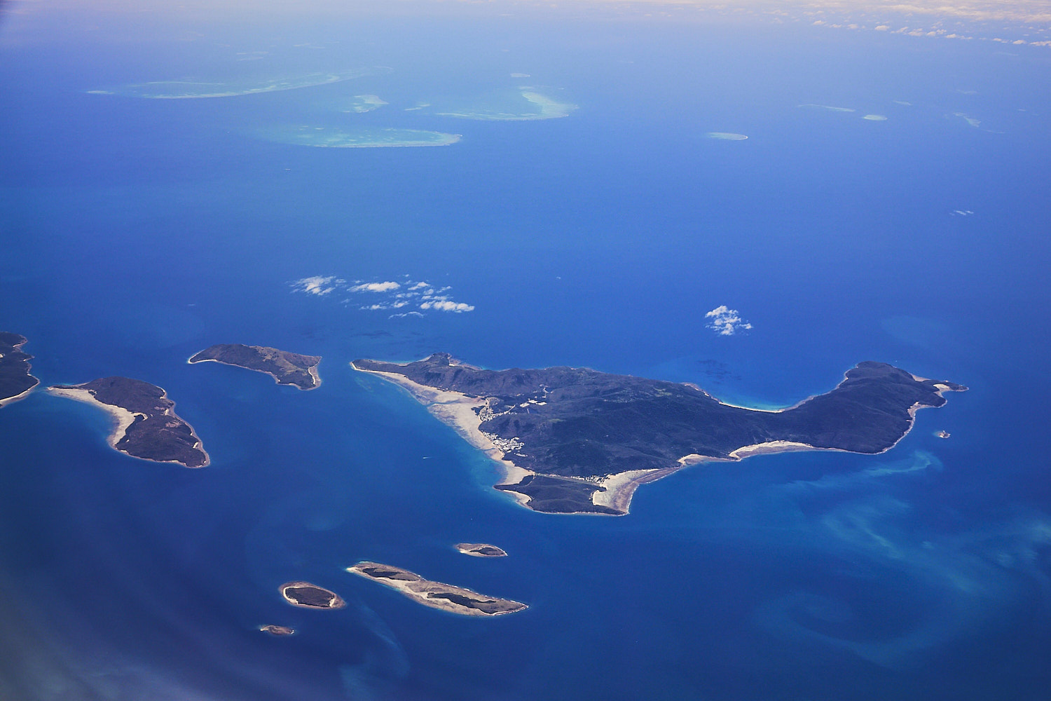 Palm Island ( and Barrier reef beyond it )
 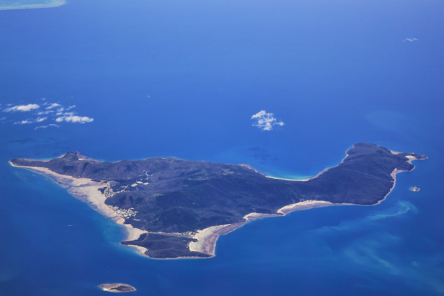 Palm and Eclipse Island
 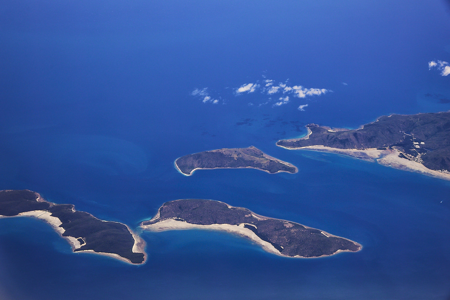 Orpheus, Fantome, Curacoa and Palm Islands
 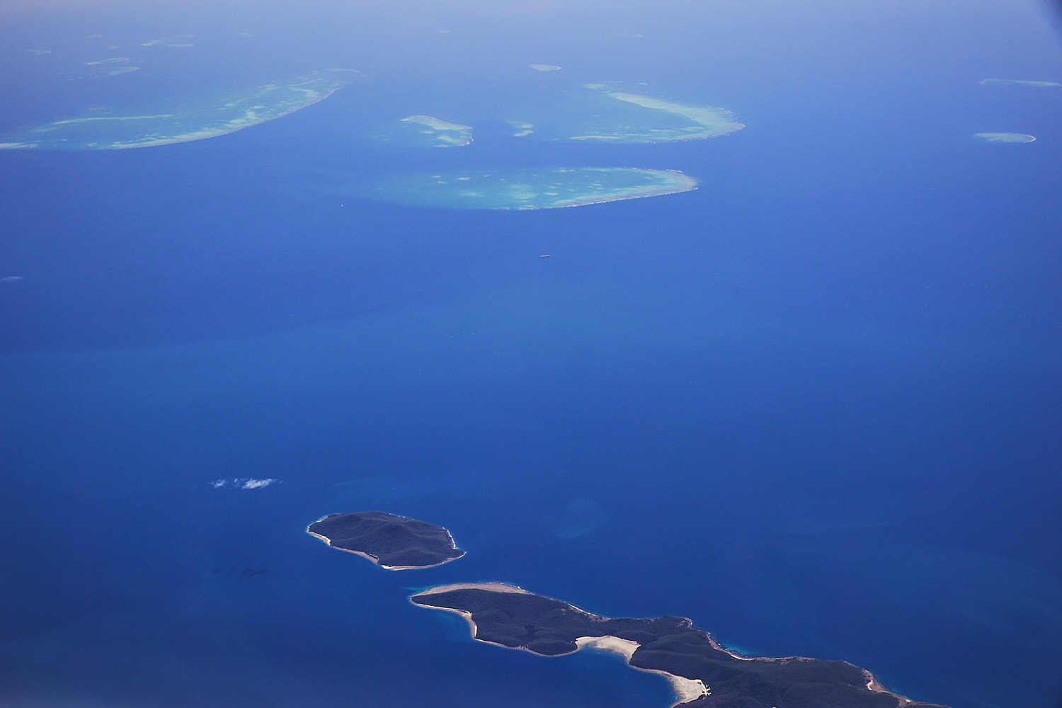 on top , Britomart reef, Walker, Trunk , Bramble and Rib reefs, on the bottom Pelorus and Orpheus Islands
 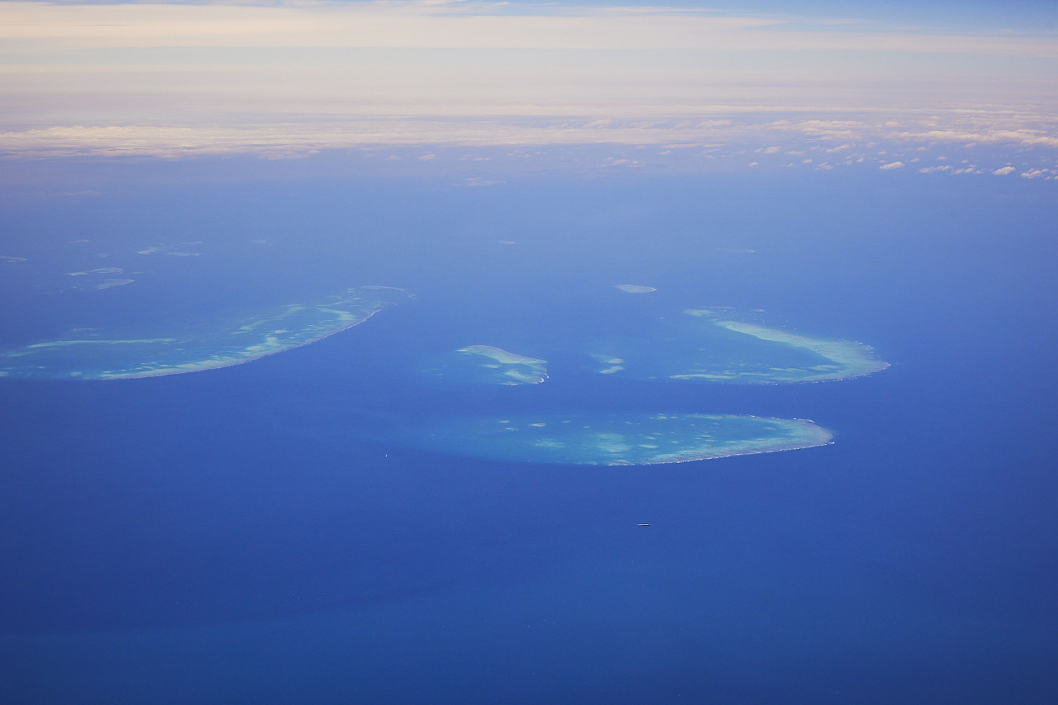 Britomart, Walker, Trunk , Bramble reefs
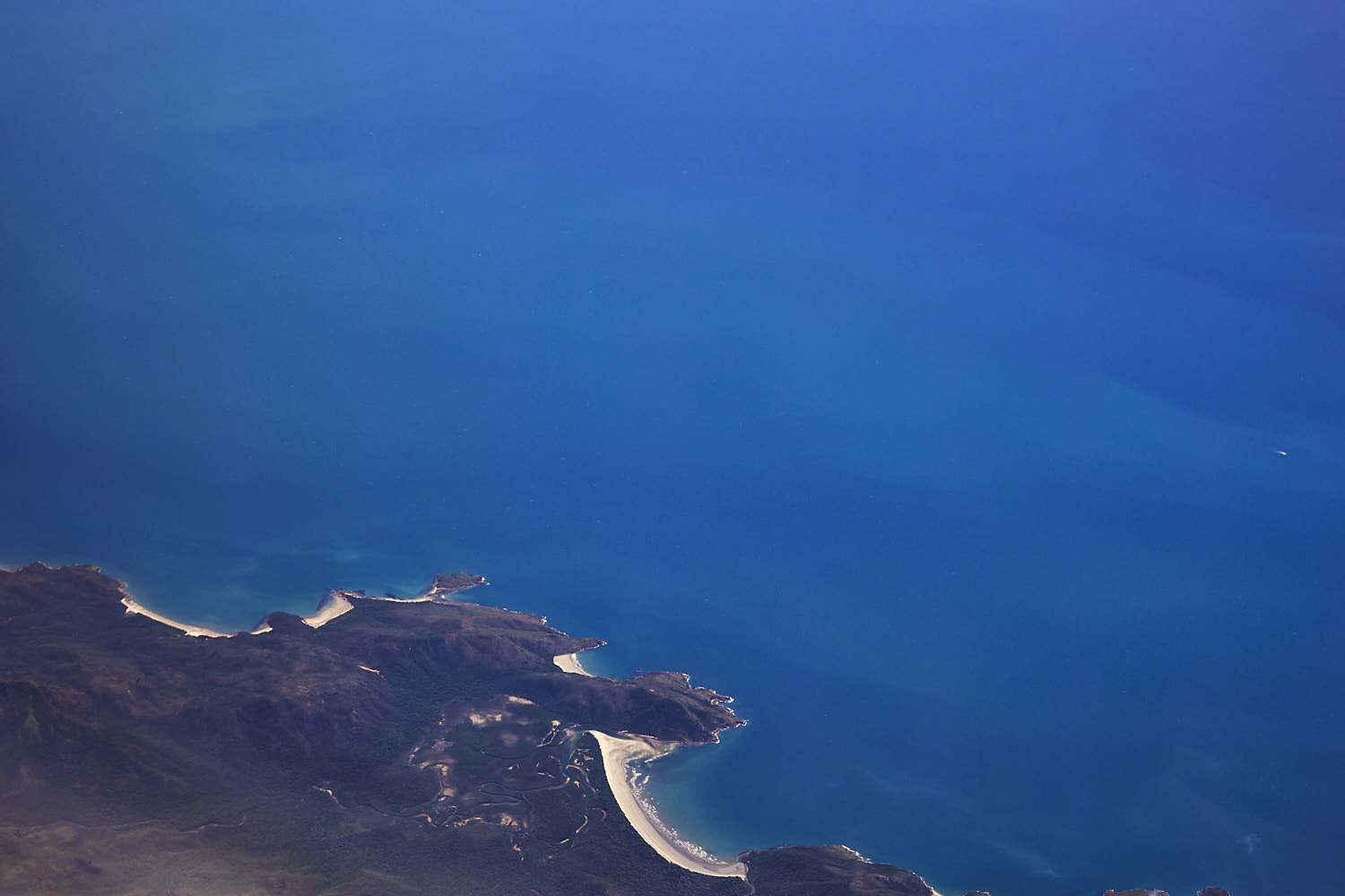 Zoe bay on Hinchinbrook Island
 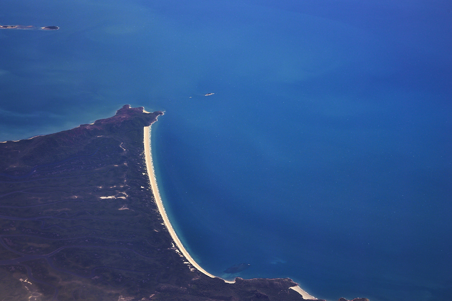 Ramsay beach , Hinchinbrook Island
 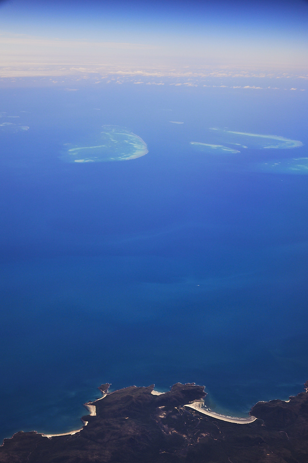 Zoe Bay looking towards Britomart, Walker, Trunk , Bramble reefs
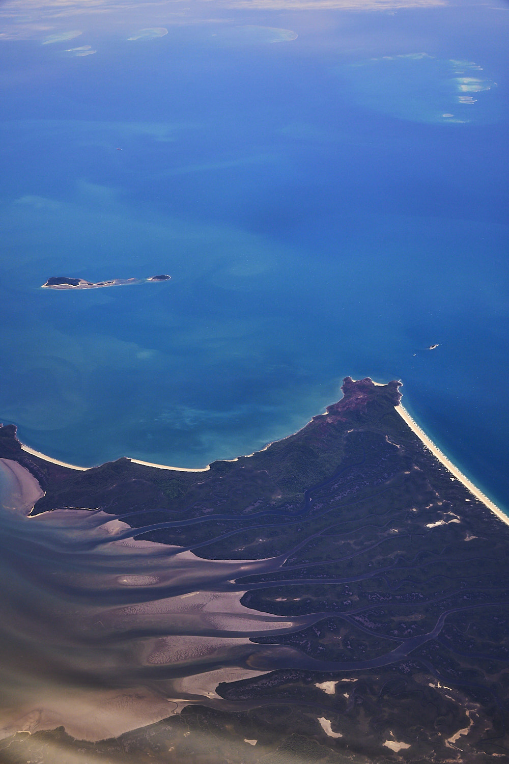 Back of Ramsay beach on Hinchinbrook Island and Brook Island on top
  Mission beach and tip of Dunk Island
 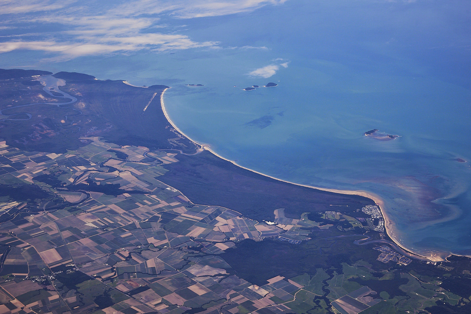 Kurrimine Beach National Park and Cowley beach
 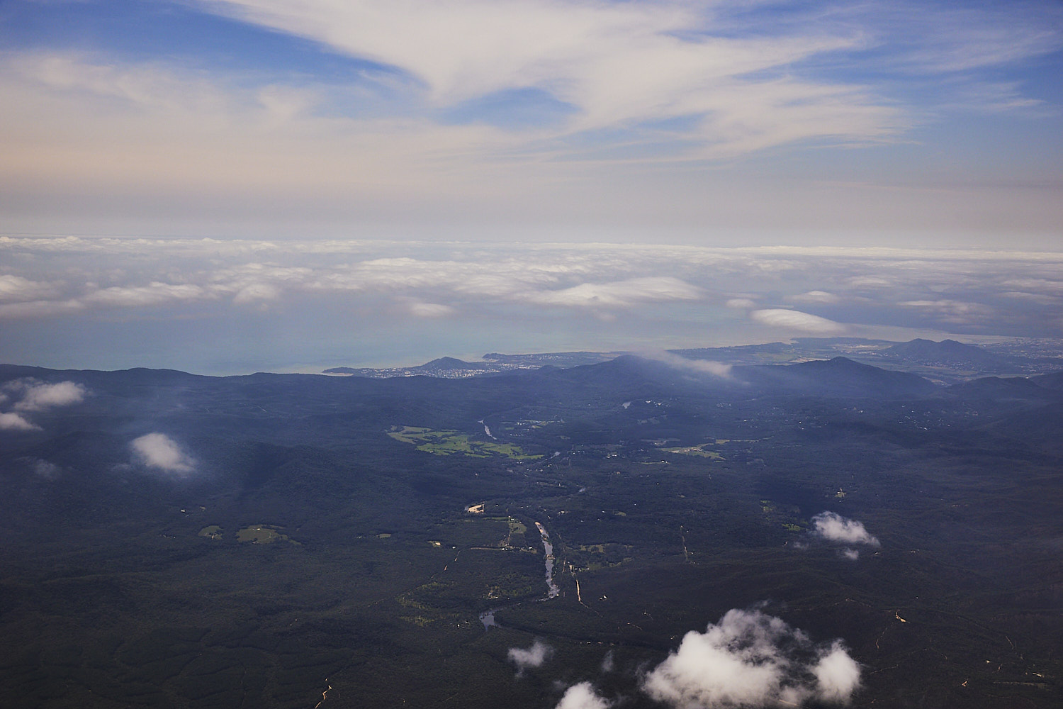 Baron River
 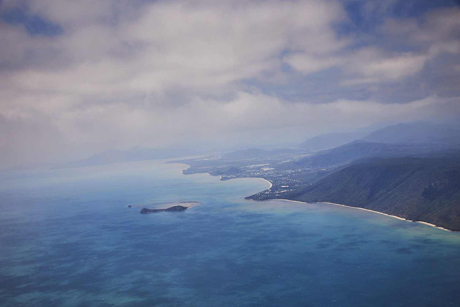 banking around to head south again now for landing at Cairns, Borderline Beach and Double Island
 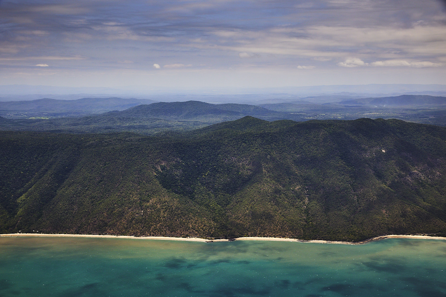 Ellis Beach
  and you can see the netted of area for swimming, and that’s not for the sharks, but the deadly stingers
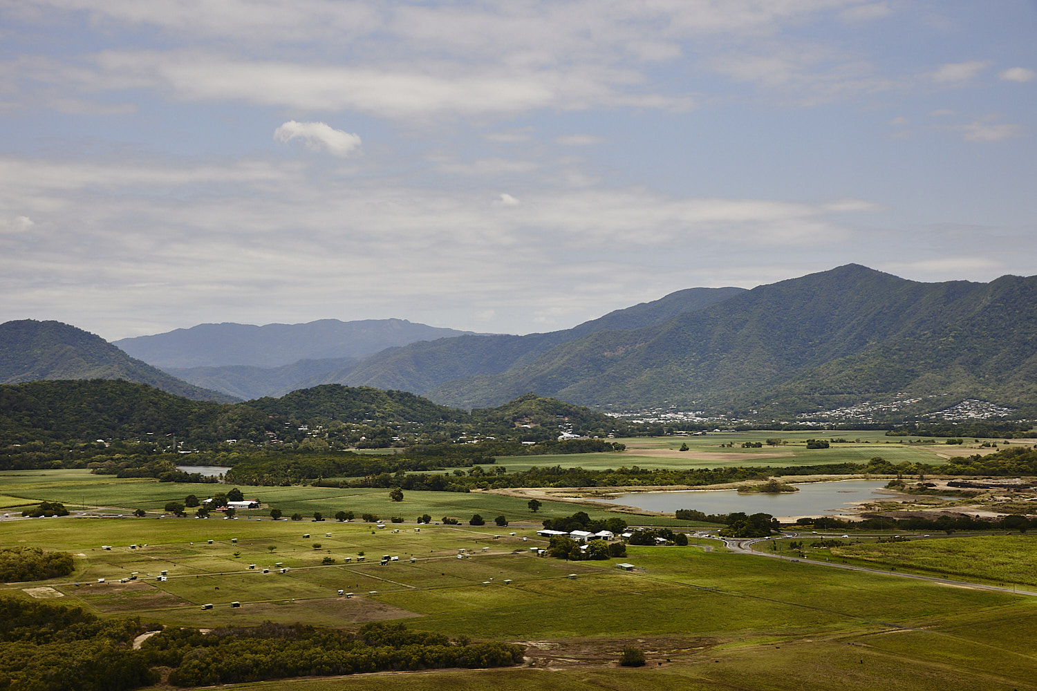
 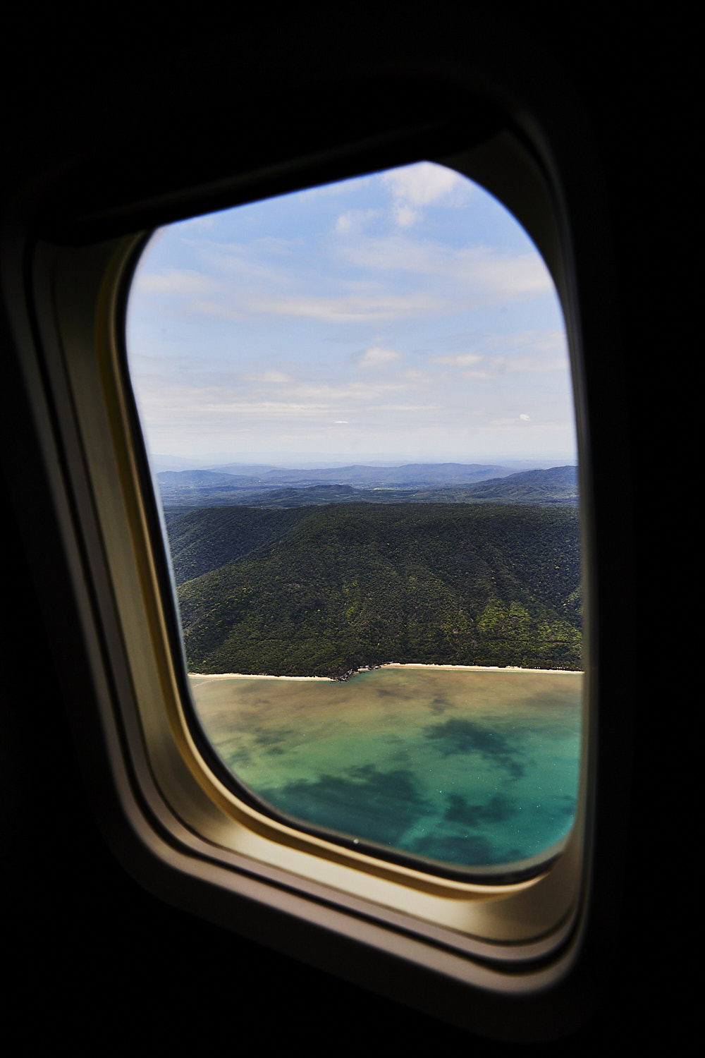 coming into land
 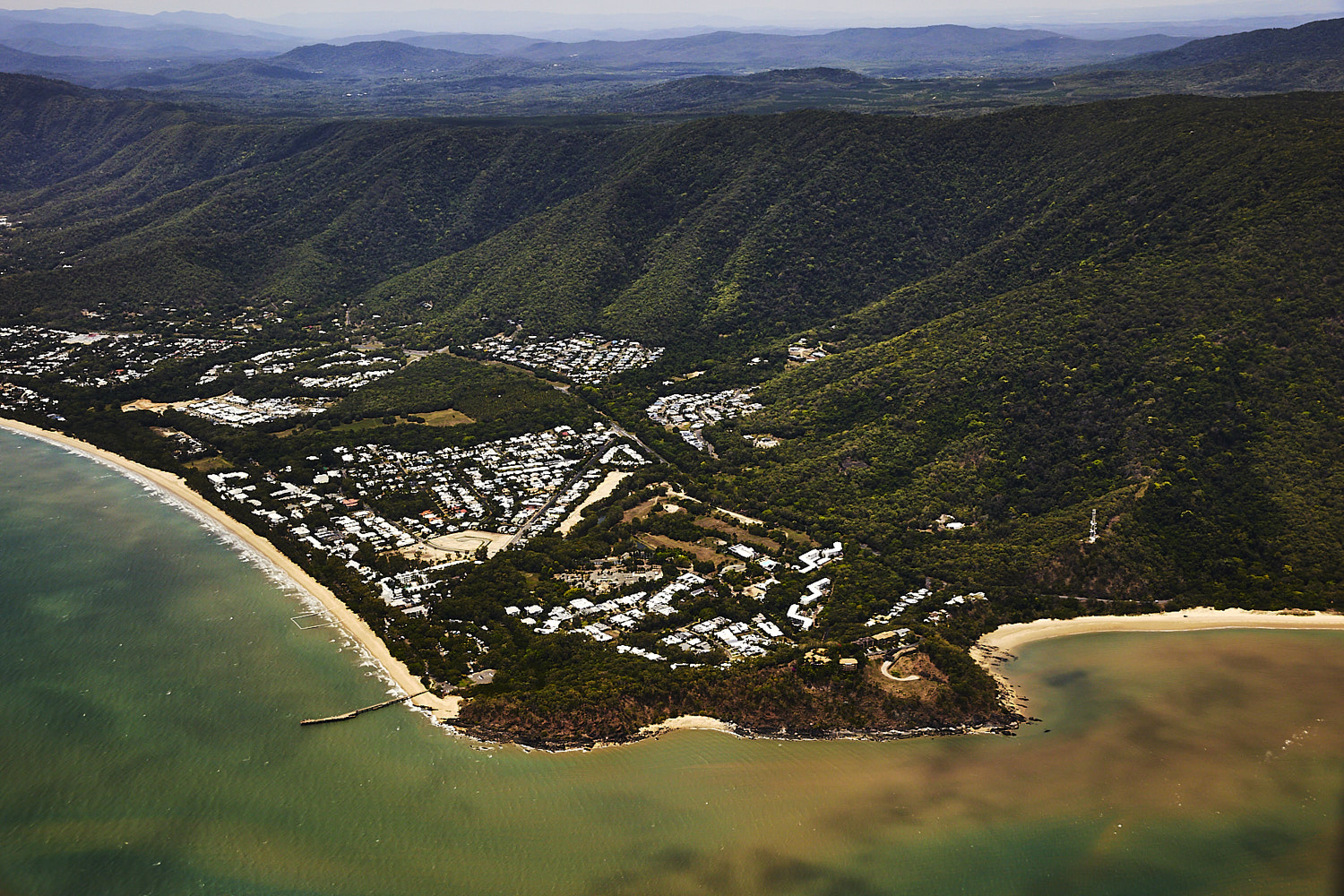 Palm Cove Cairns
 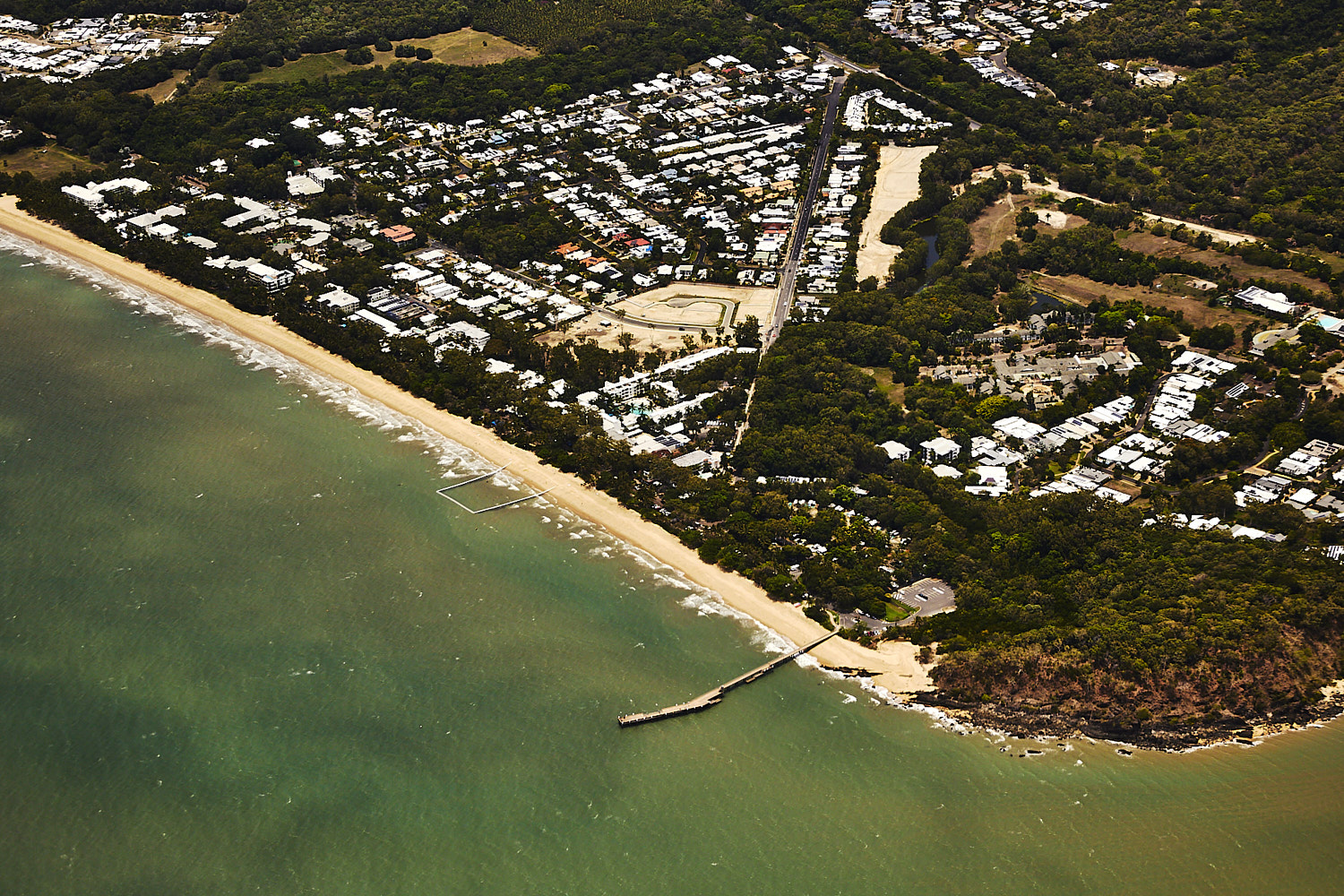 Palm Cove jetty and another netted of area fro swimming
 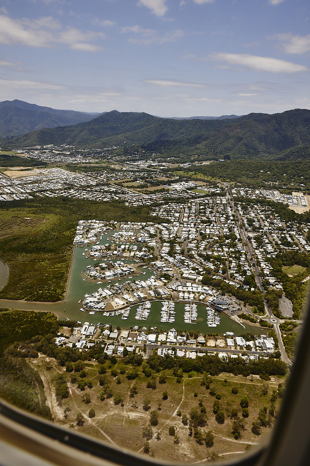 Trinity Park, Cairns
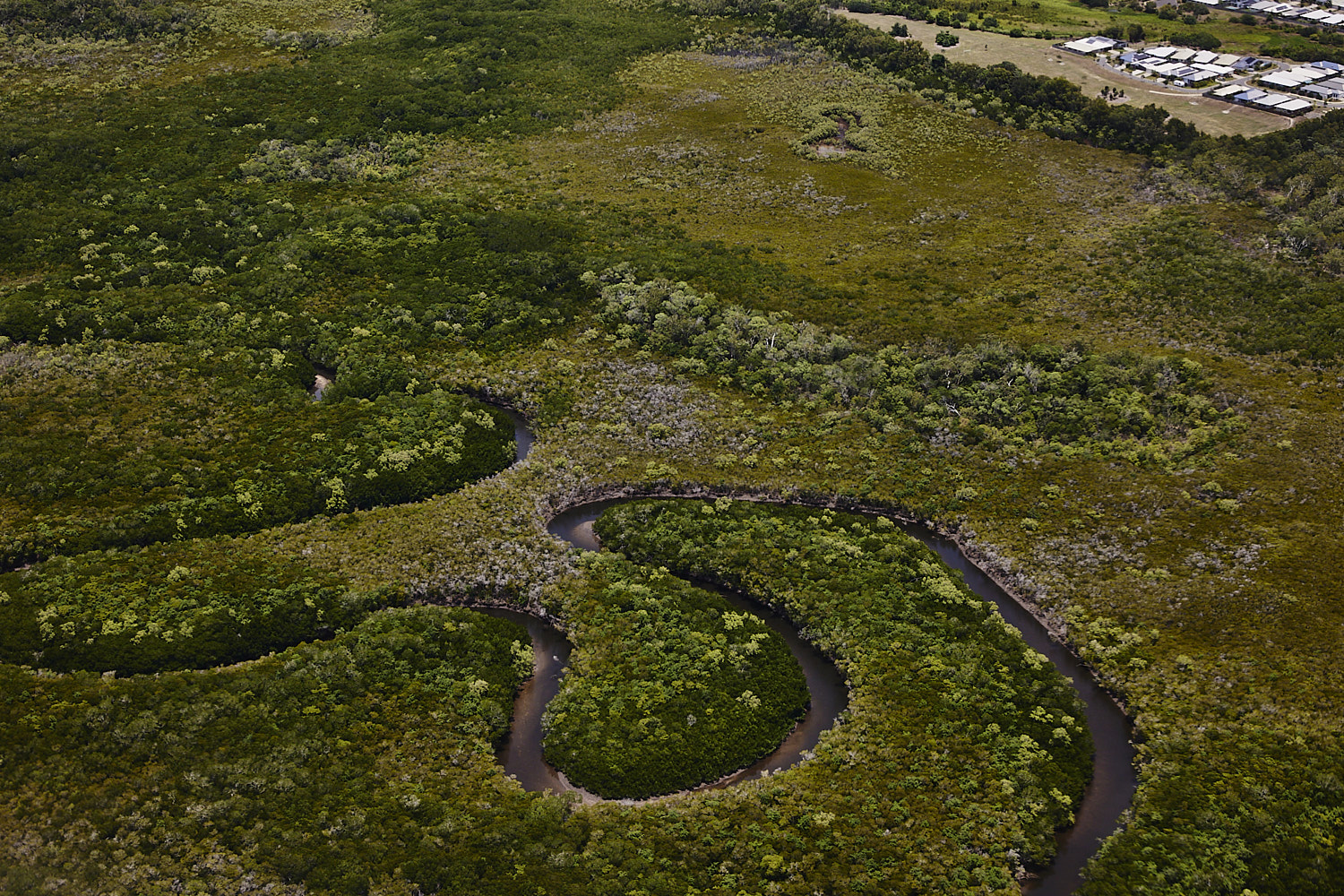
 touch of Hawaii about it
 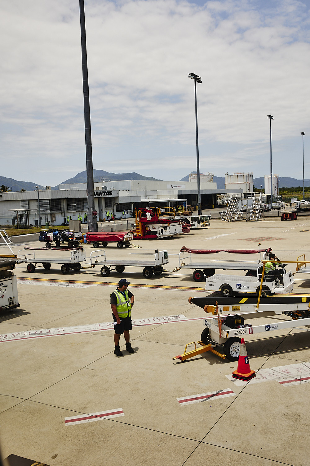 landed
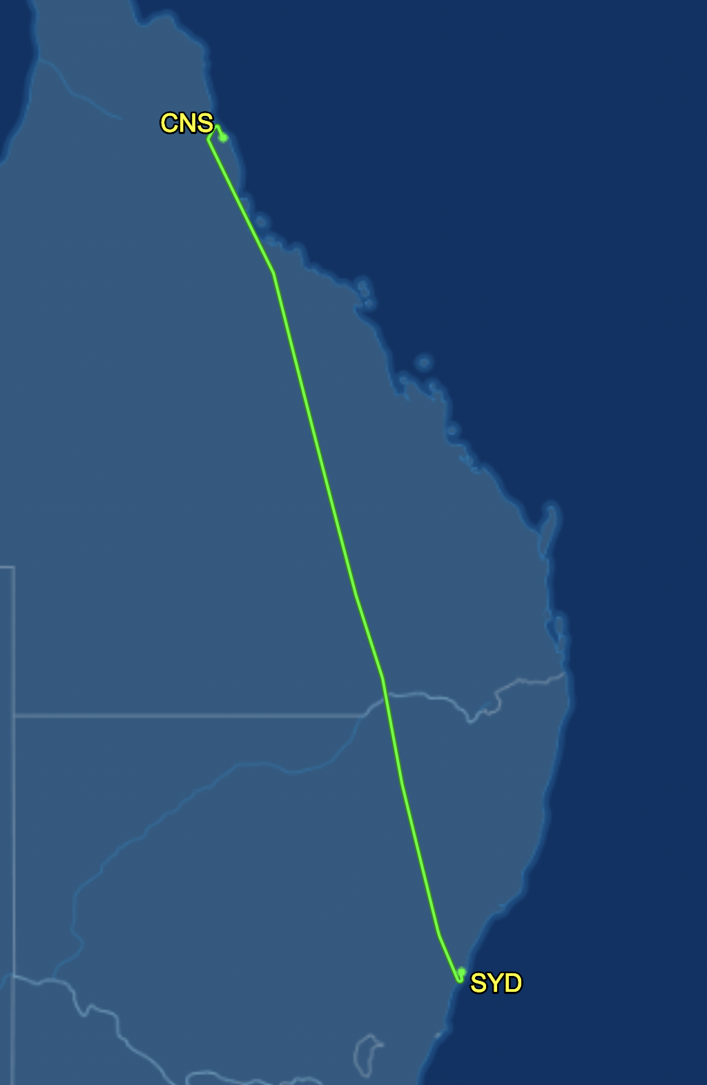
Sydney > Cairns QF922


Many photos as it was a nice long flight up north
Sonny Vandevelde