Sonny Vandevelde
Fashion should be fun and with my photography I love to create those fun moments.
Travel
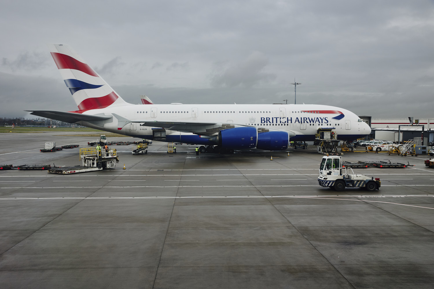
London > Los Angeles BA283
What a flight, it was cloudy for most of it, but still managed to get some amazing shots of Iceland, Greenland, North Dakota and California
 Ready to take off
 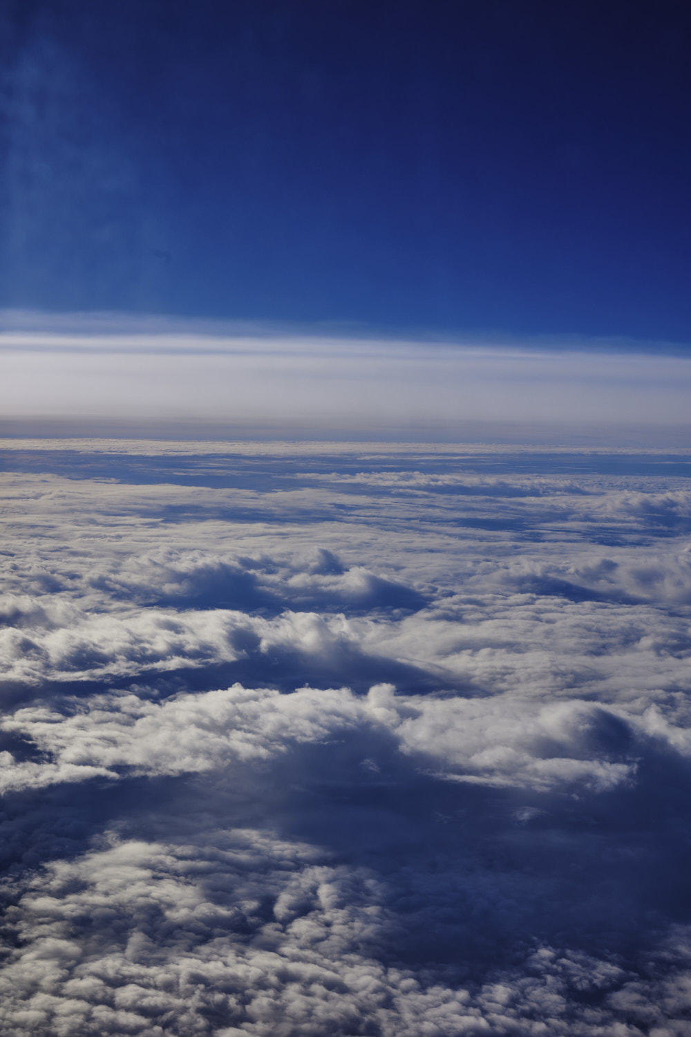 been a good 20-30 min and nothing exciting to report, just clouds
 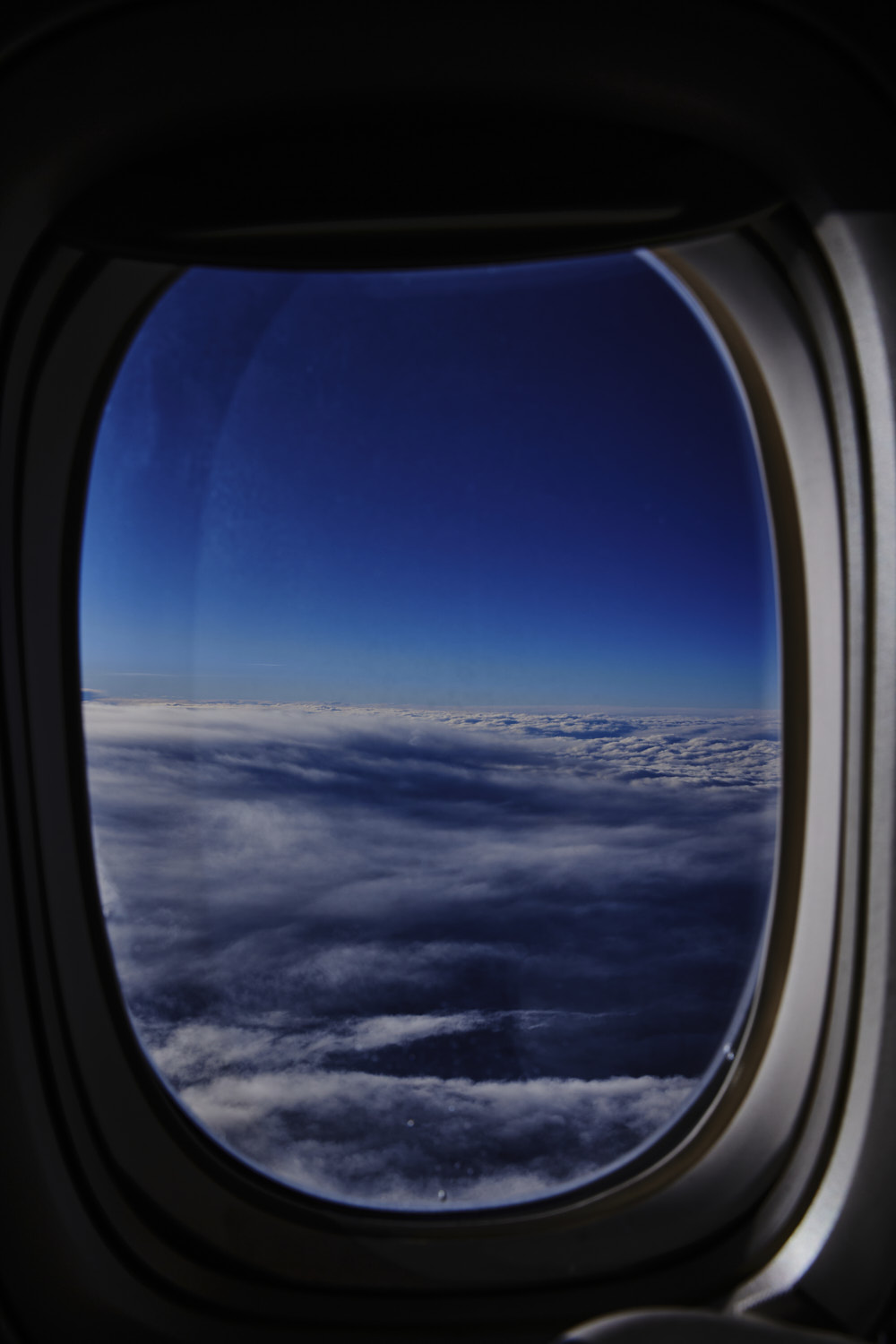 thick cover, crossing North Atlantic ocean
 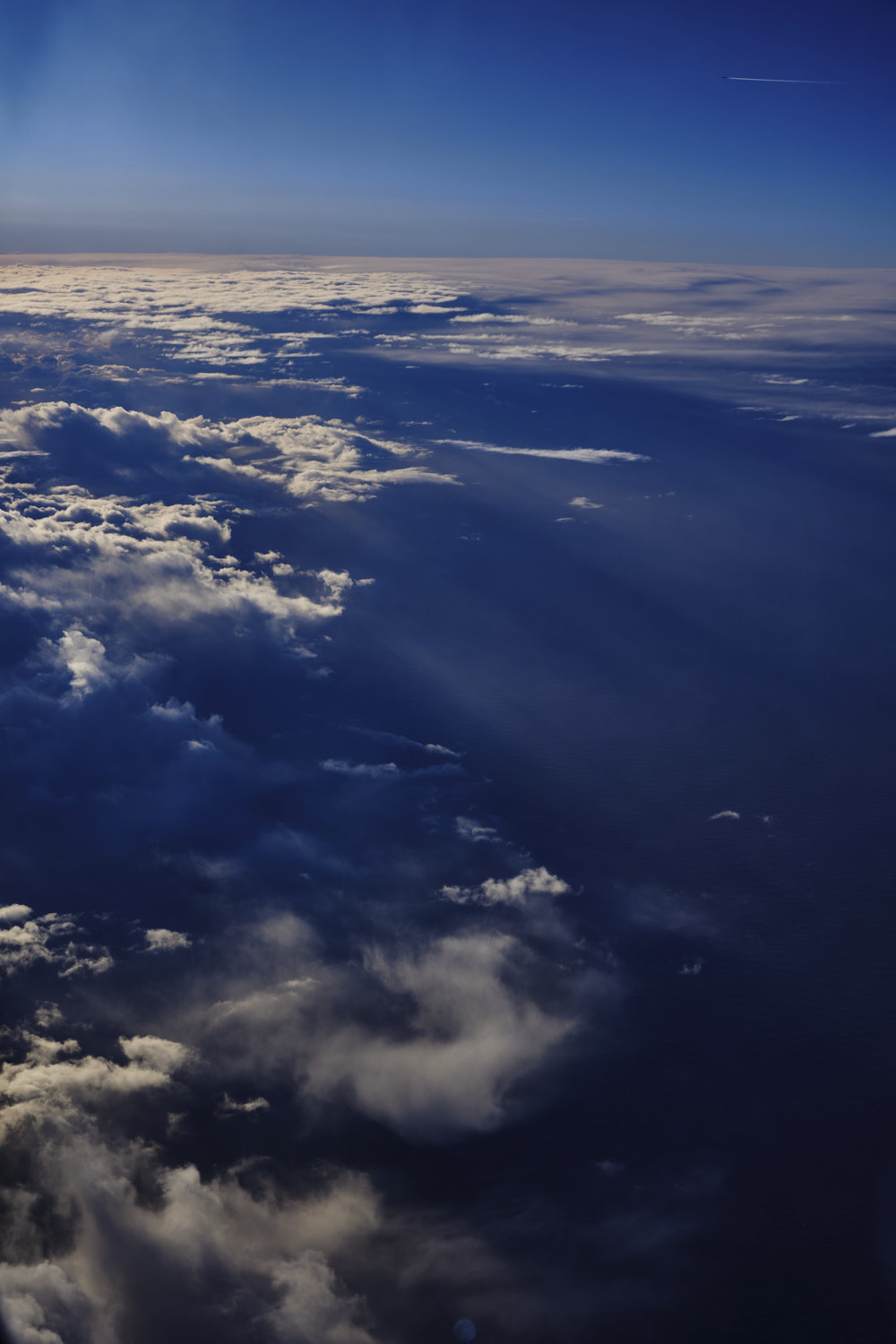 we're not alone, and love the morning sun rays
  some lines stacked
 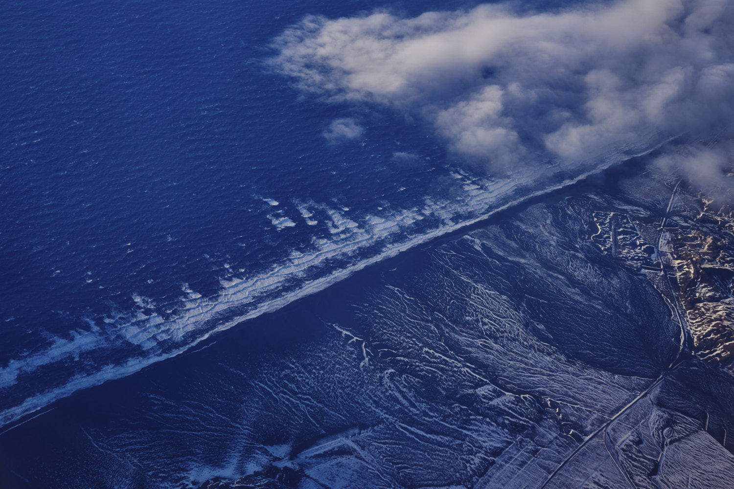 land, finally, Iceland, and damn, there's some serious swell hitting the beaches
 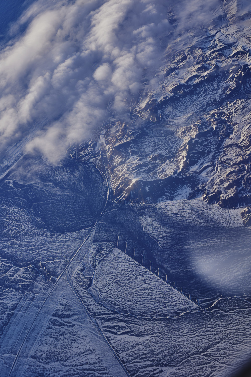 farmland, Vik, Iceland
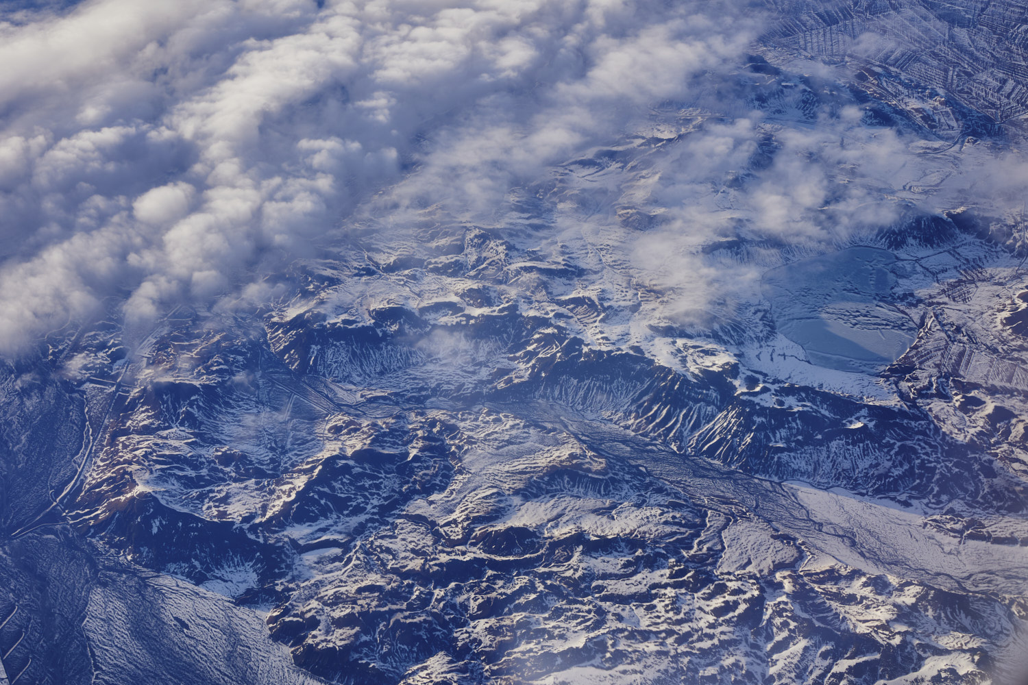 Hei�arvatn Lake in the mountains there,
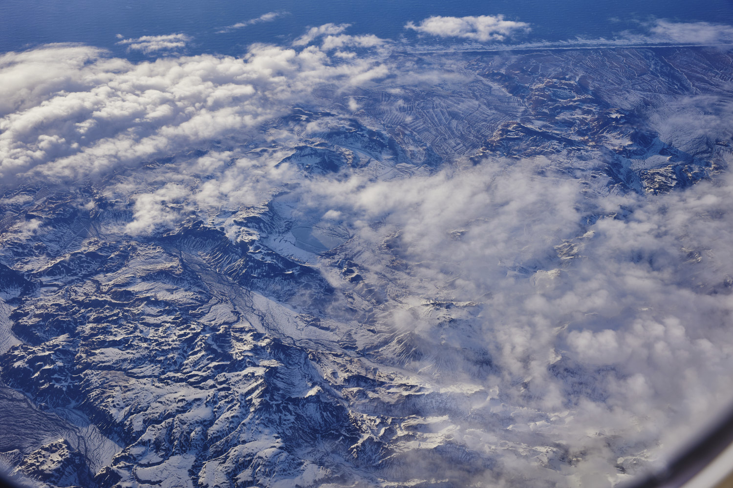 very popular lake in summer
 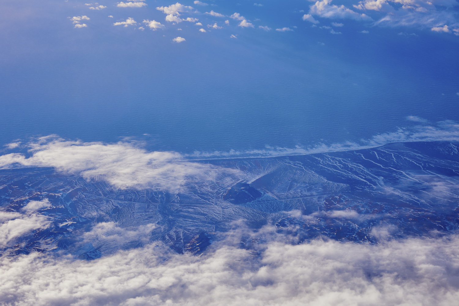 Solheimafjara and Mt Petursey
 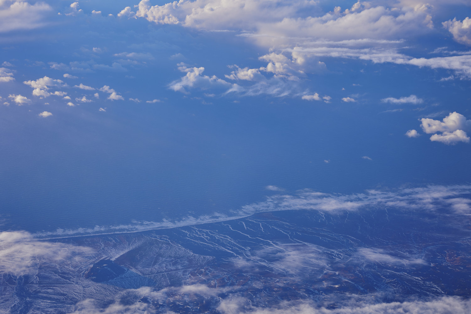 a landscape I'm yet to visit
 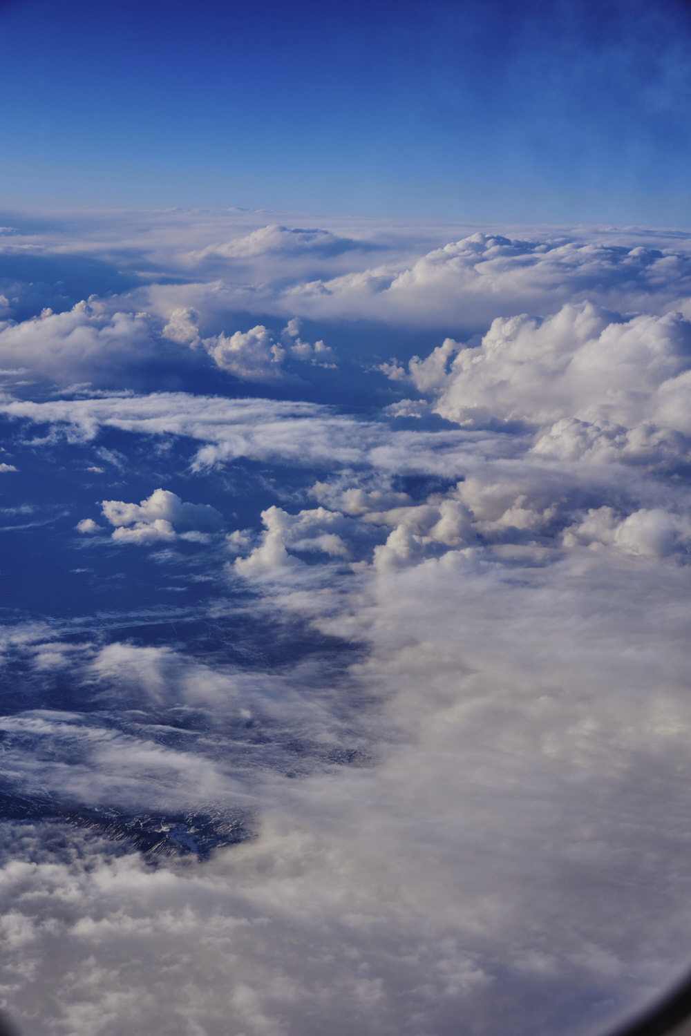 and the clouds set in again
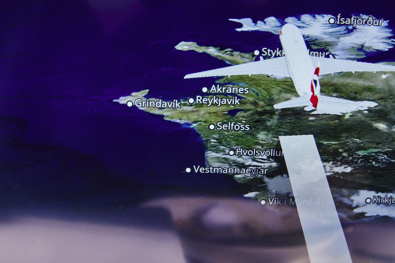
 heading to fly over Reykjavik
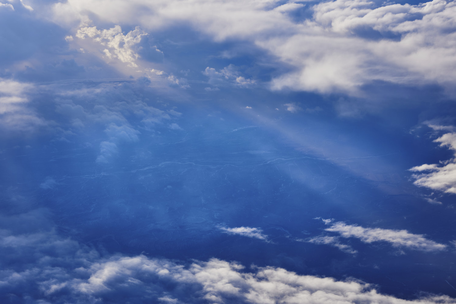 Hvolsvollur region
 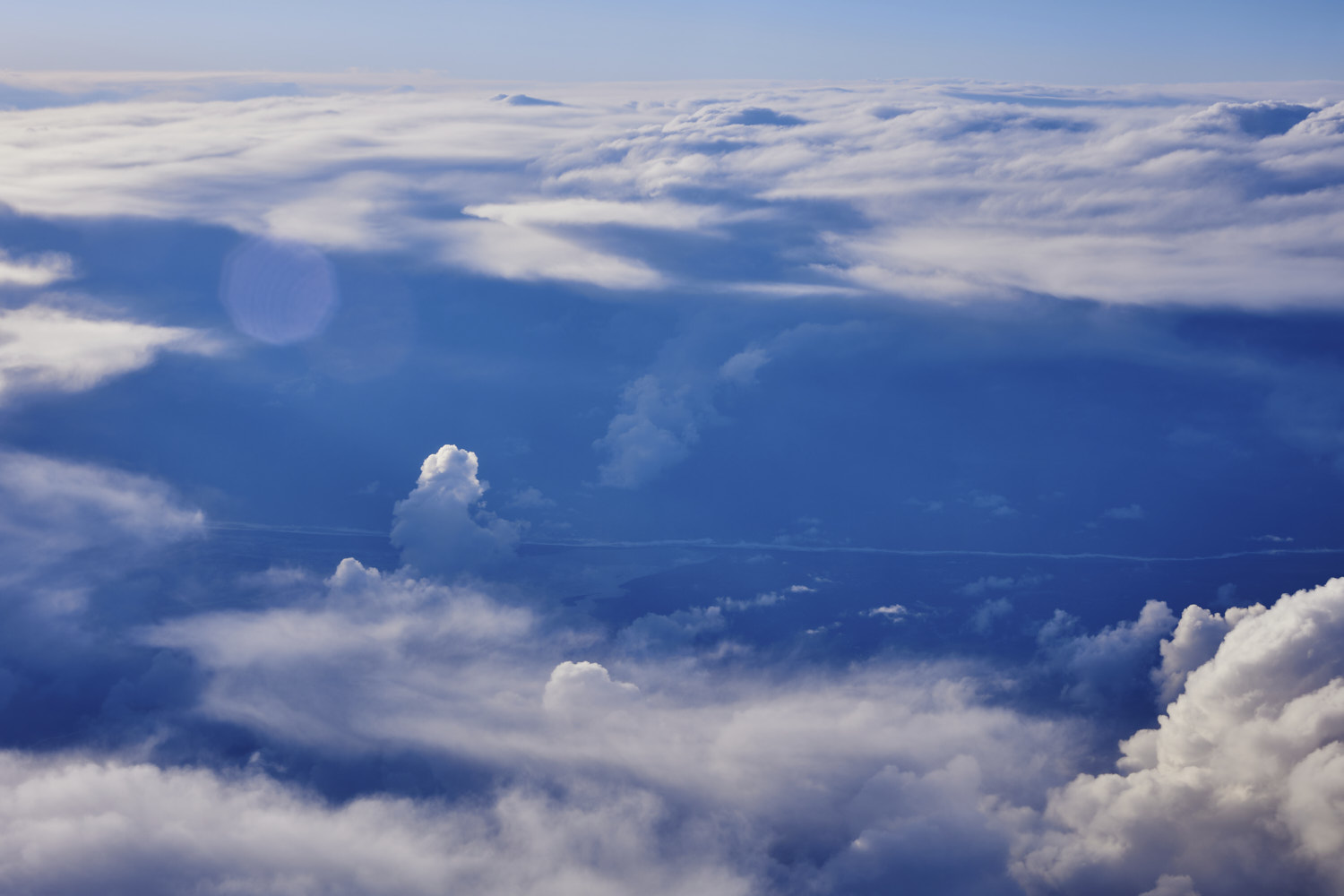 Markurfljot river flowing into North Atlantic ocean
  nice light ( as we are flying very north and then west, we are staying with that eary morning light for a while )
  over Reykjavik
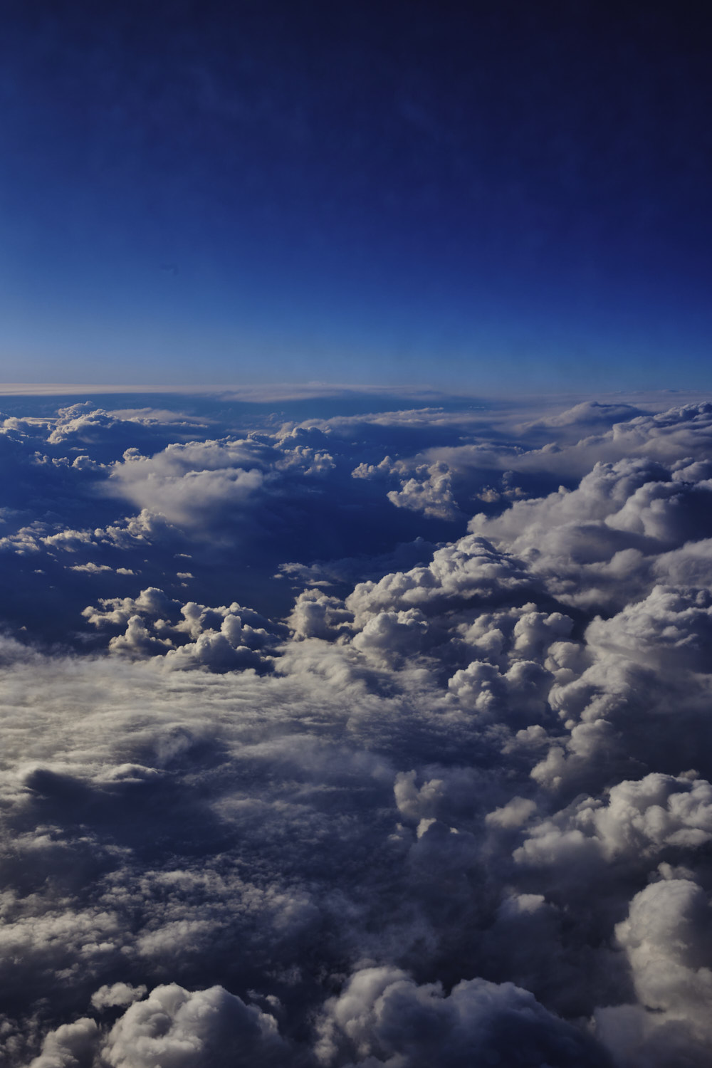
 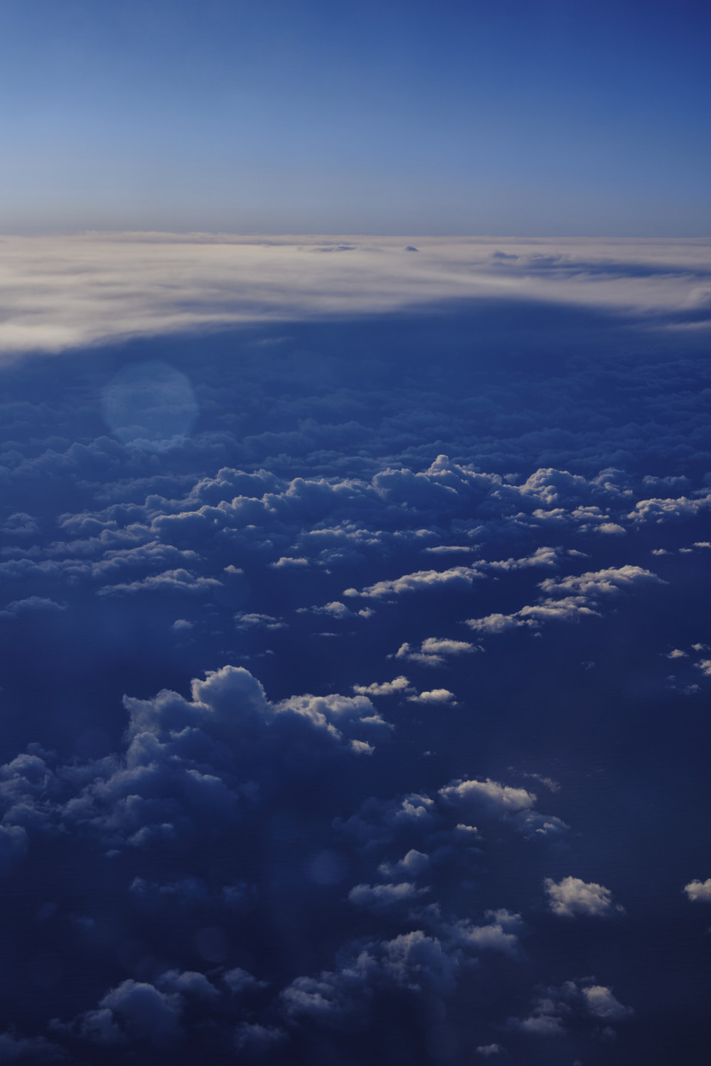 Crossing North Atlantic from Iceland to Greenland
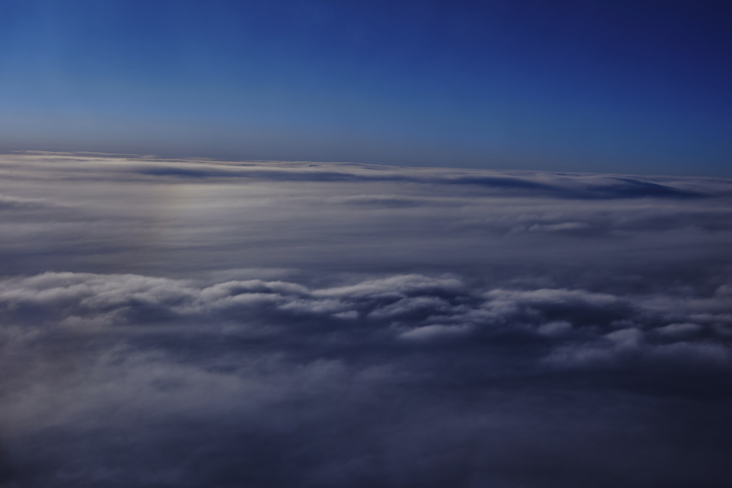 and thick clouds set in again
  Greenland
  Greenland, one big glacier
 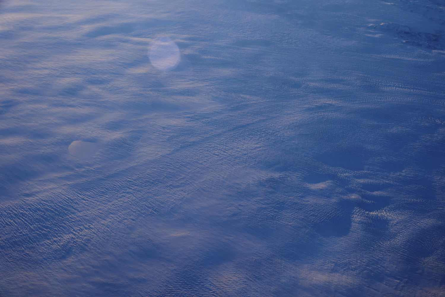 slowly sliding to the ocean
 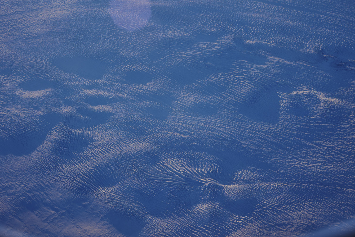 looks imopressive from up here
 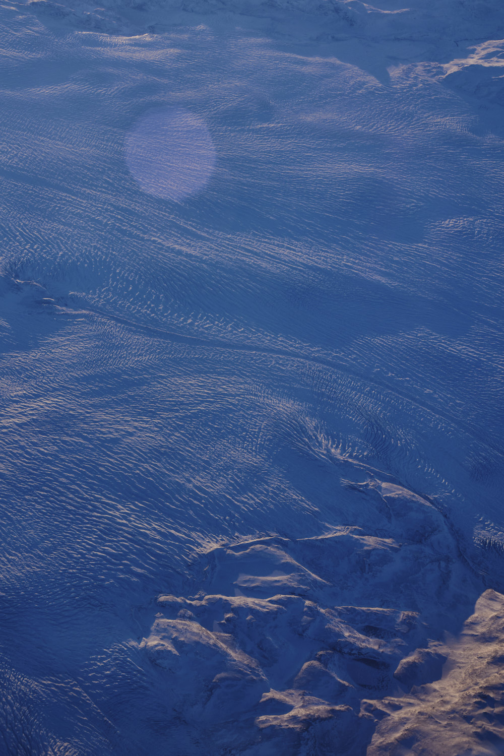 woauw, I'm loving witnessing this
 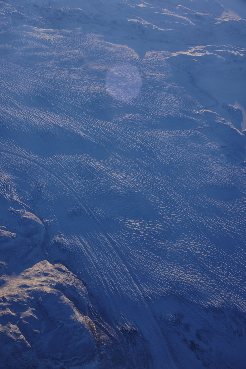 so pretty, but again, not sure you would want to be down there
 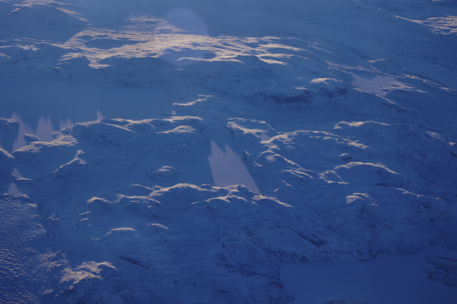 Qeqqata Municipality
 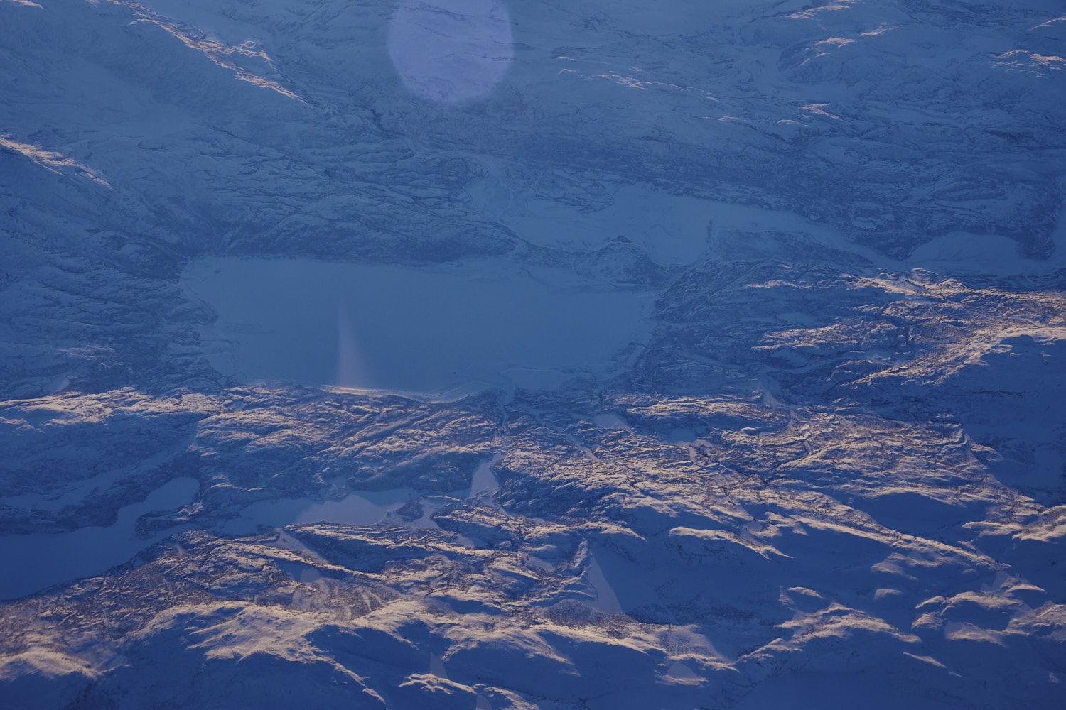 at the foot of so may glaciers, so many lakes, and clearly no time to name them all
 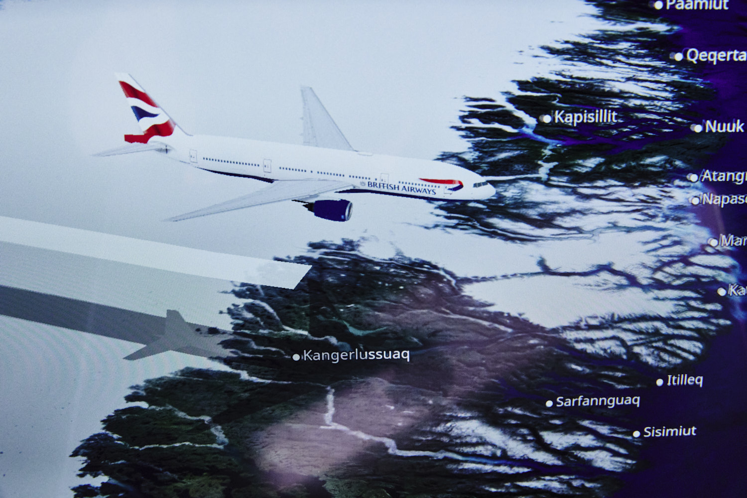 flight path
 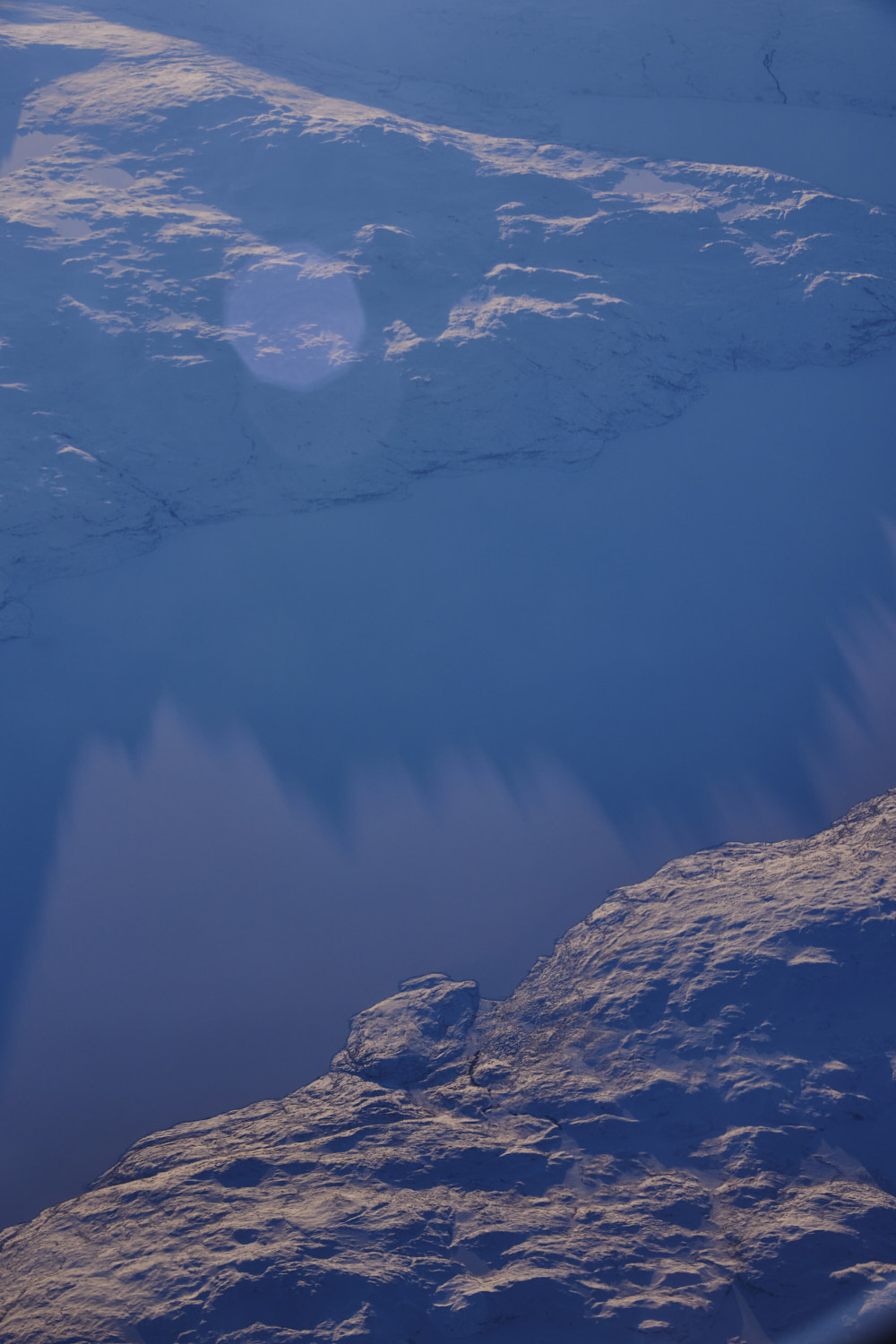 Davis Strait
 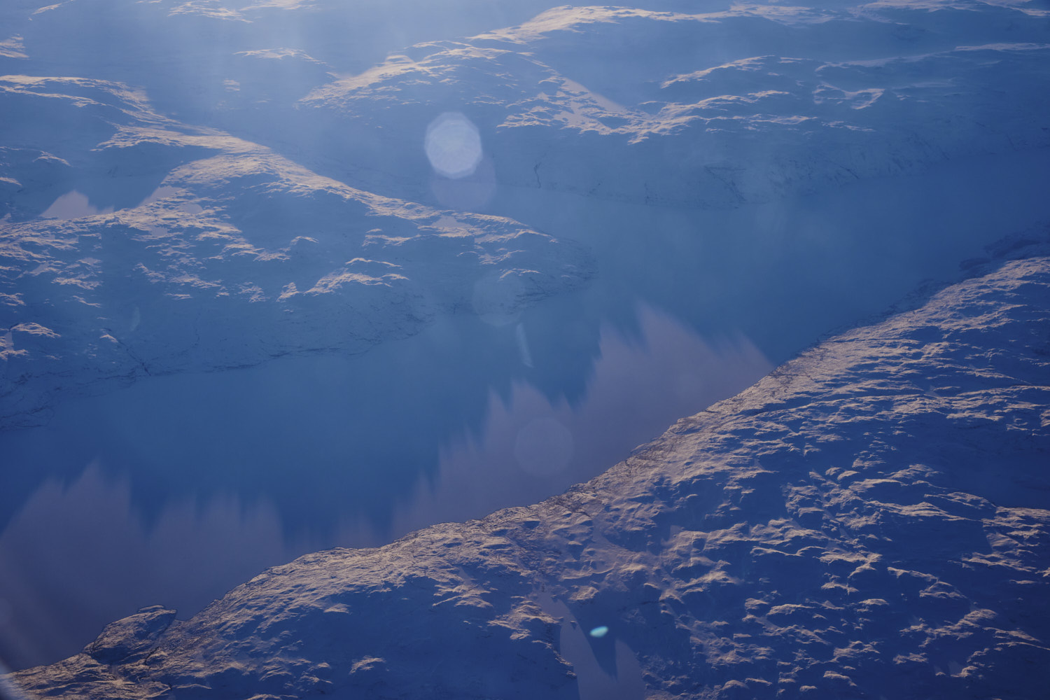 Davis Strait
 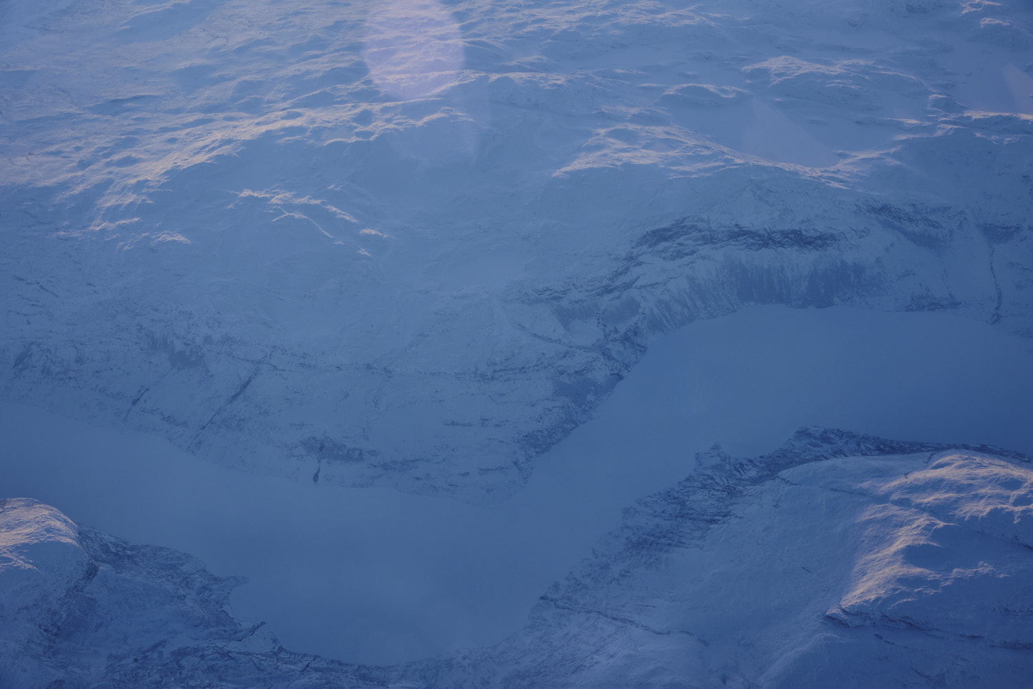 they really did not name a lot of these places
 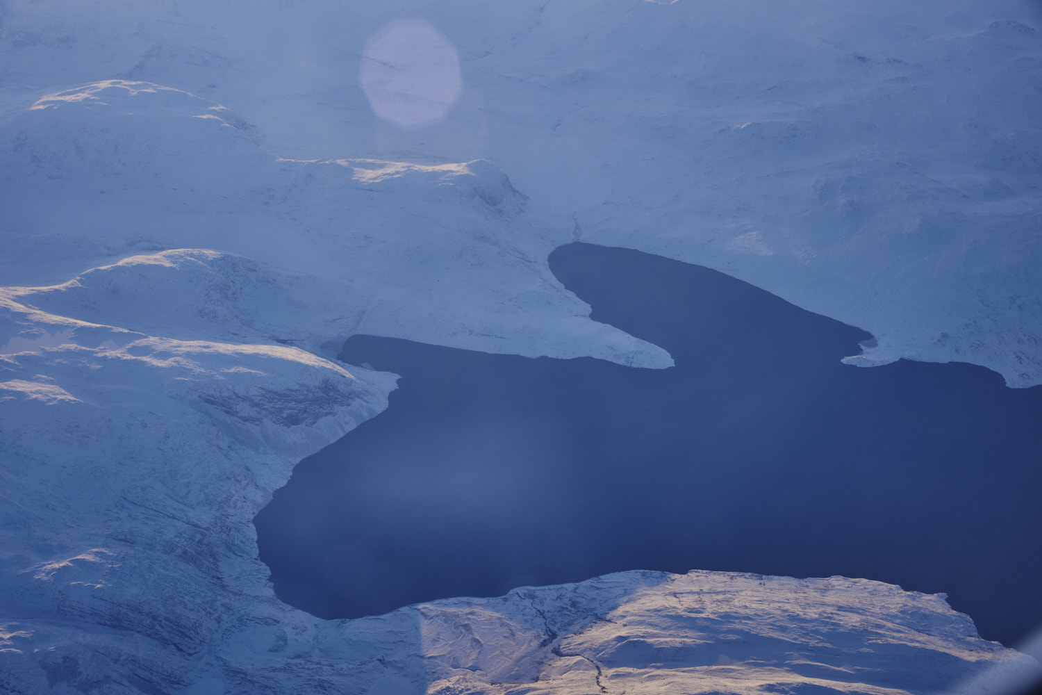 well, not on google earth anyway
 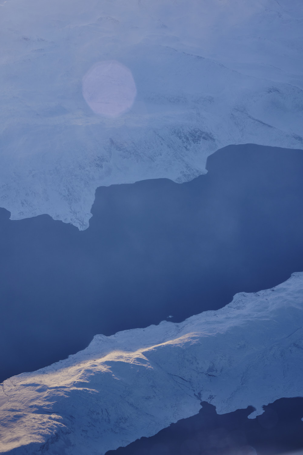 like this is also called Davis Strait even though it is a different body of water
 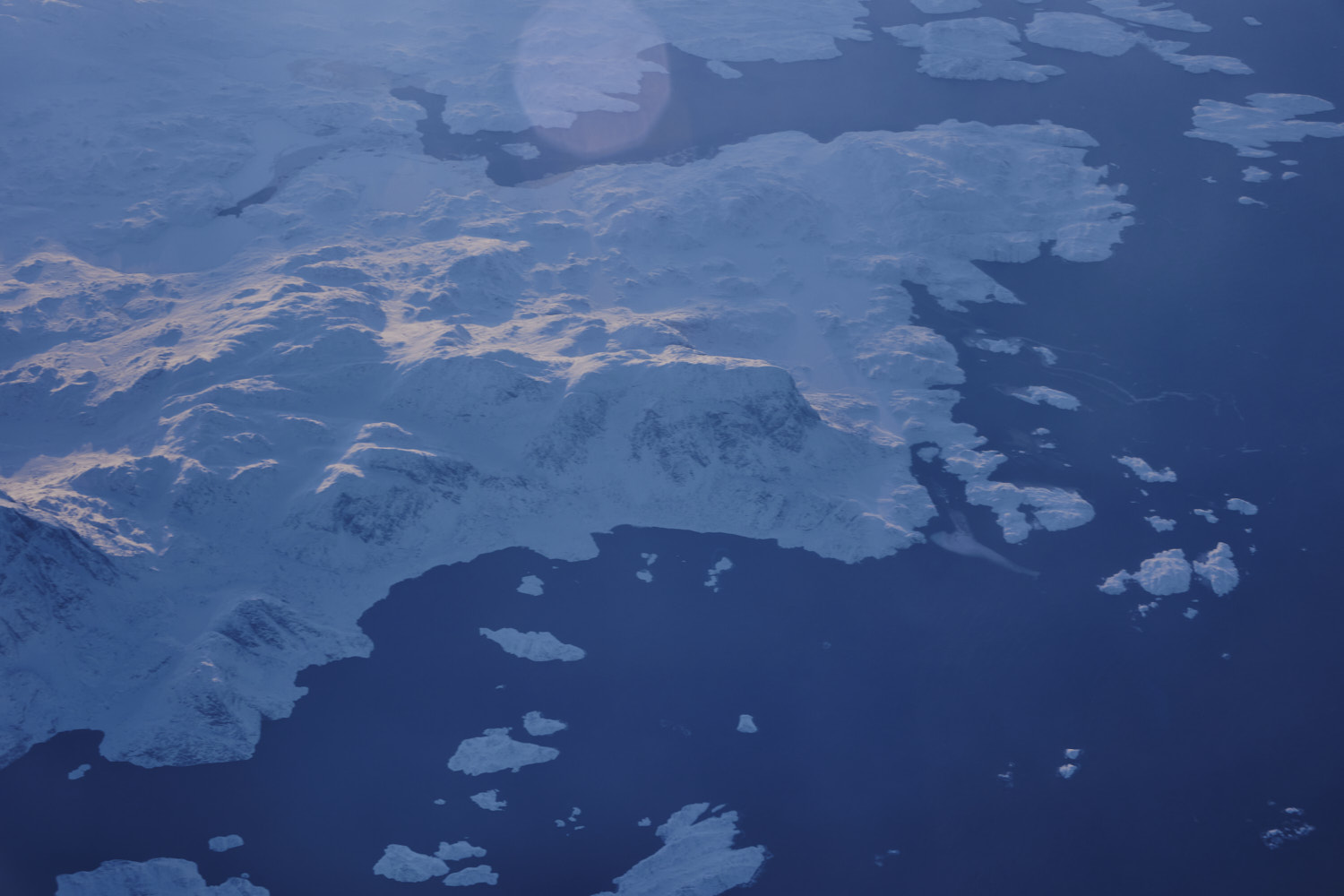 Turns out Davos Strait is the body of water from Greenland to Canada
 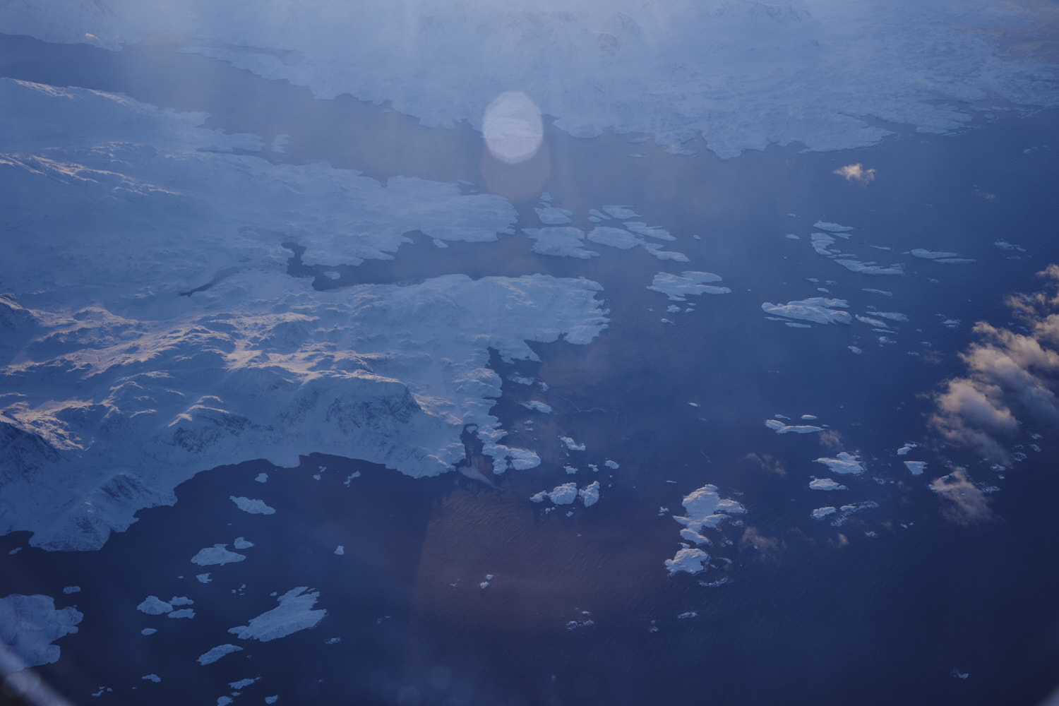 one that group of islands, is the settlement of Itilleq
 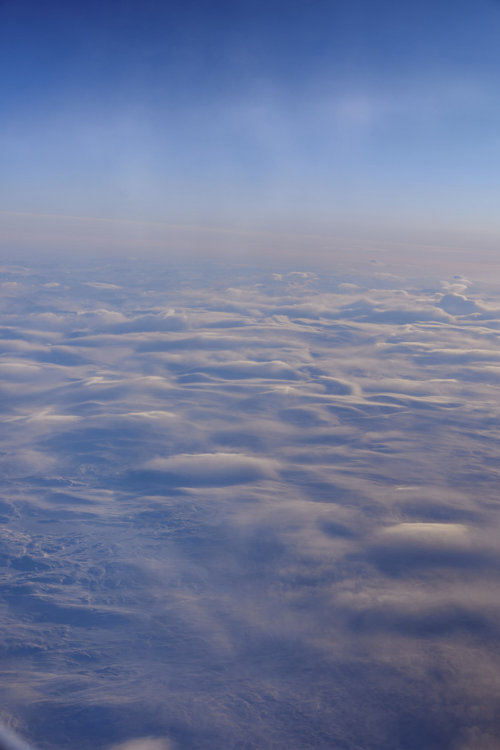 Qikiqtaaluk Region, NU, Canada
 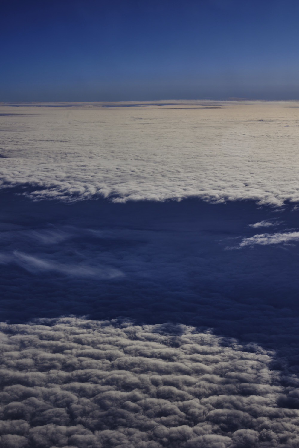 a break in the cloud cover to reveal another layer of cloud cover
 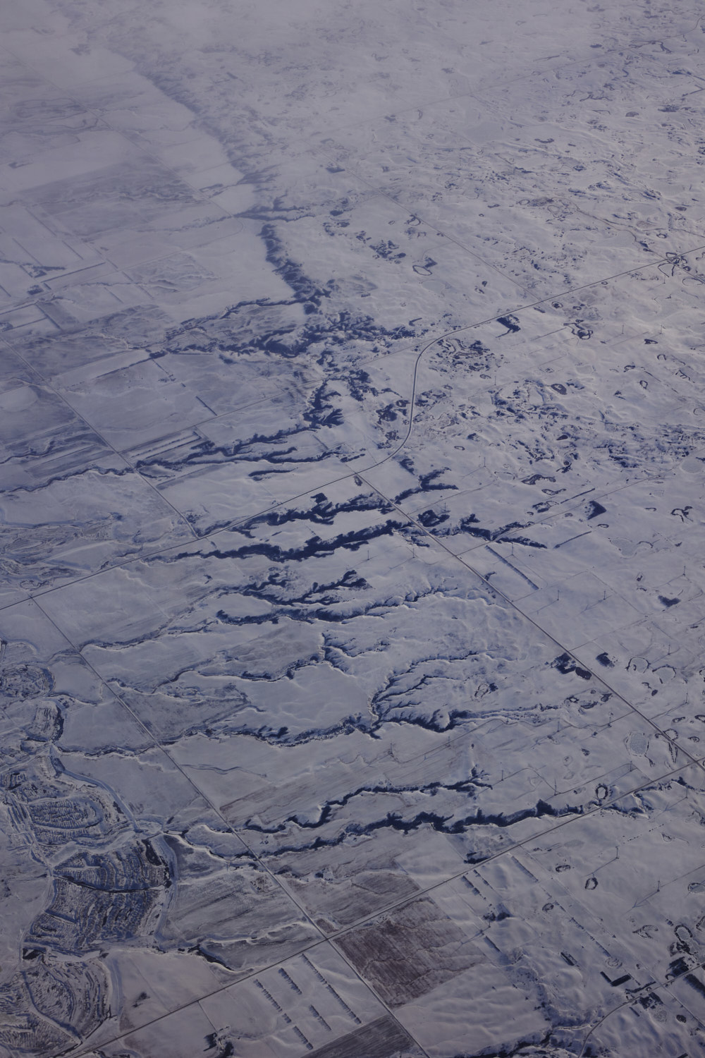 Wildwood park, Keller, North Dakota
 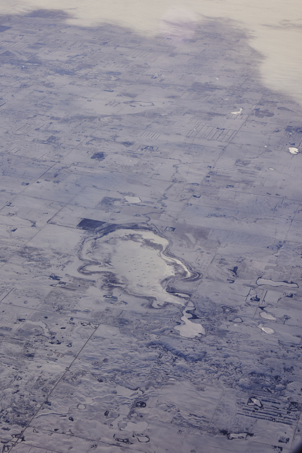 Fuller Waterfowl production area, Big Meadow North Dakota
 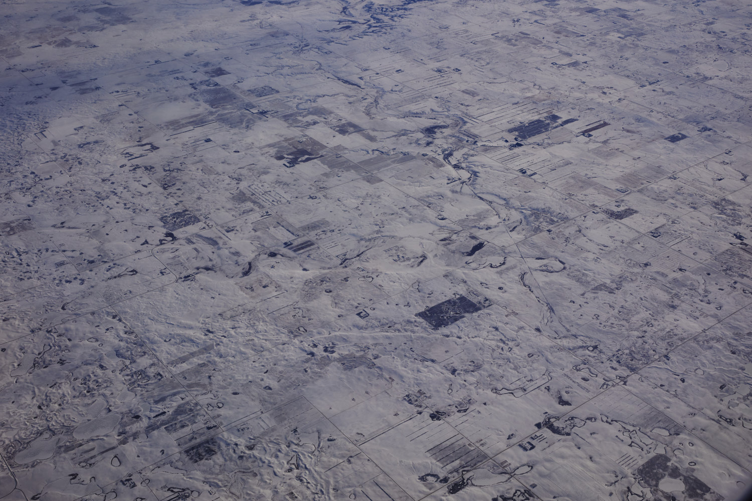 Hamlet, Williams County, North Dakota
 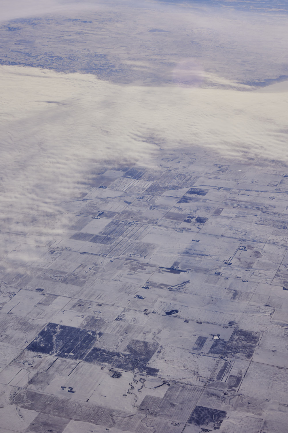 Champion, North Dakota
 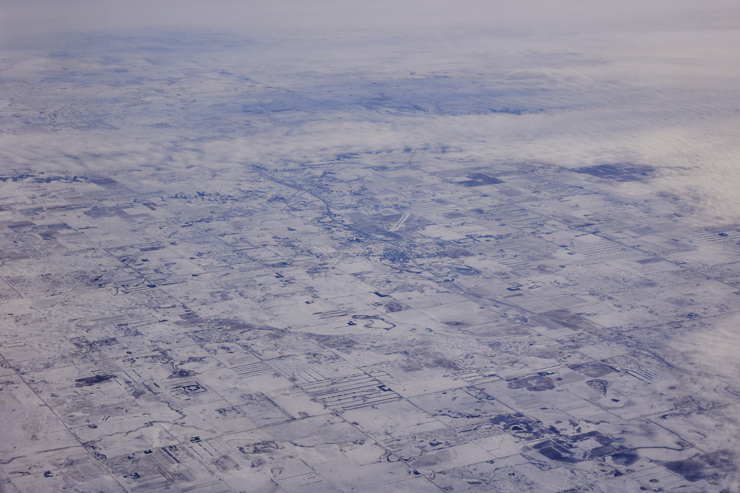 Tioga, and Tioga local airport
 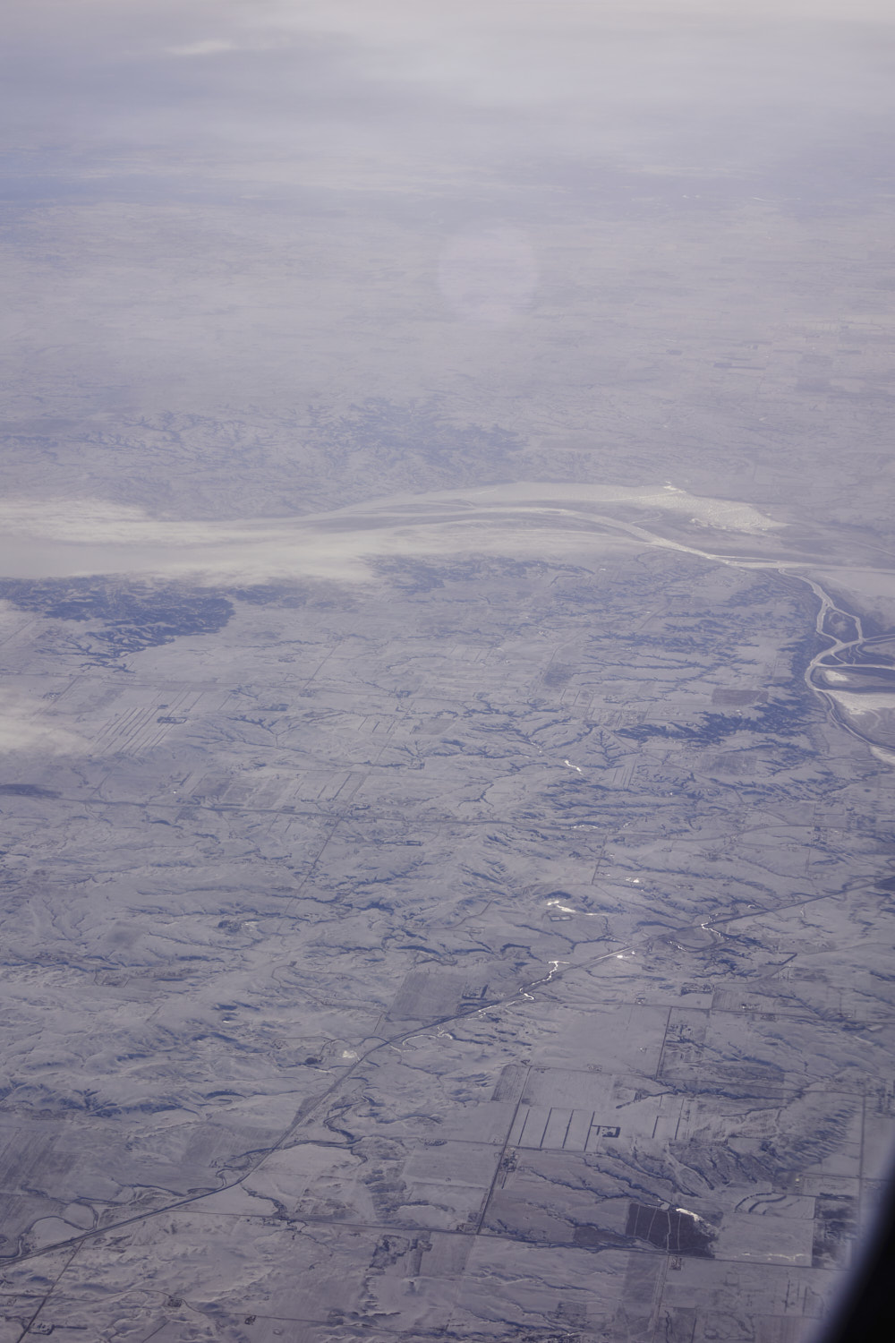 Avoca in the middle and nearing Williston on the mighty Missouri River
 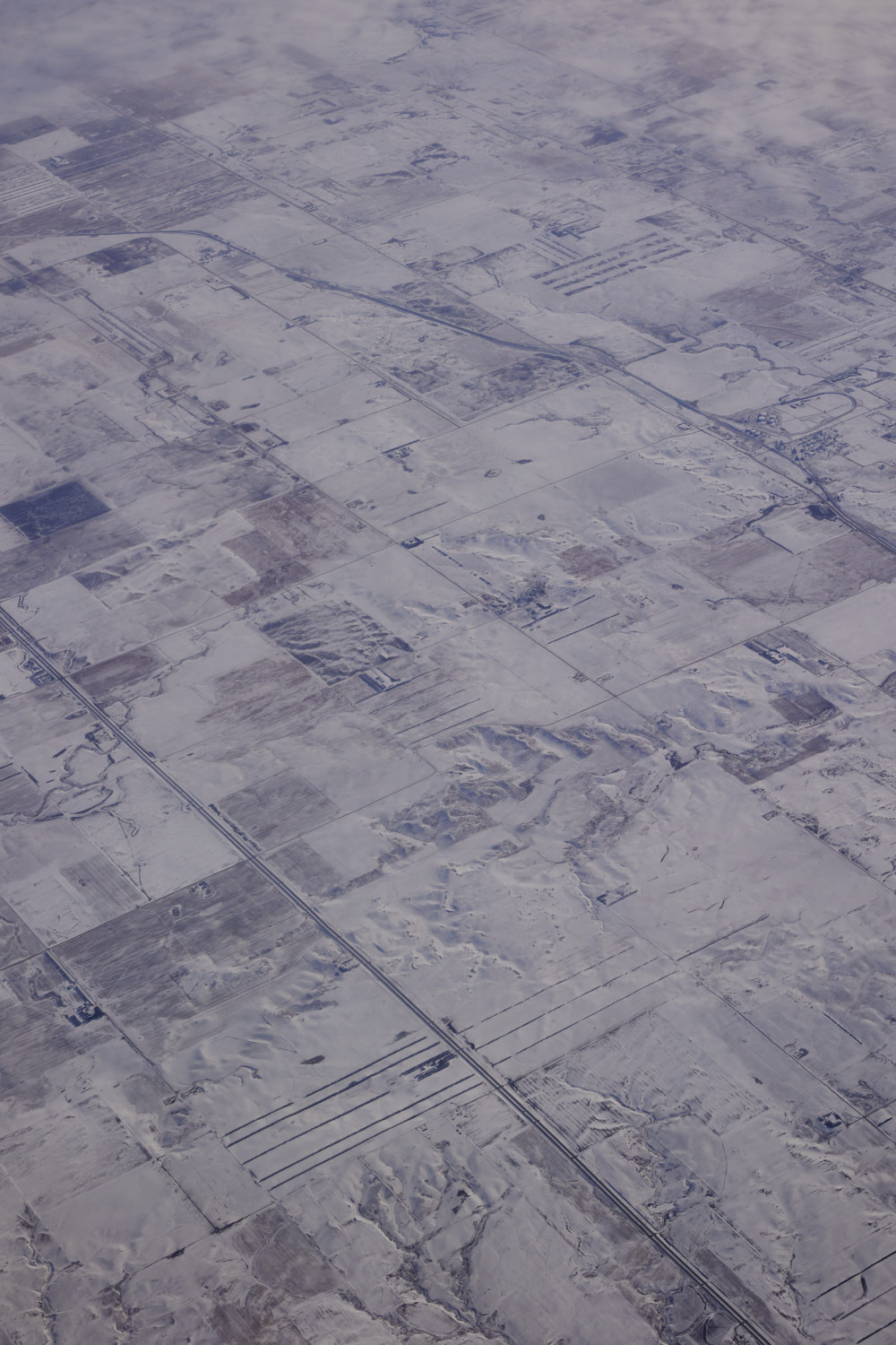 Epping
 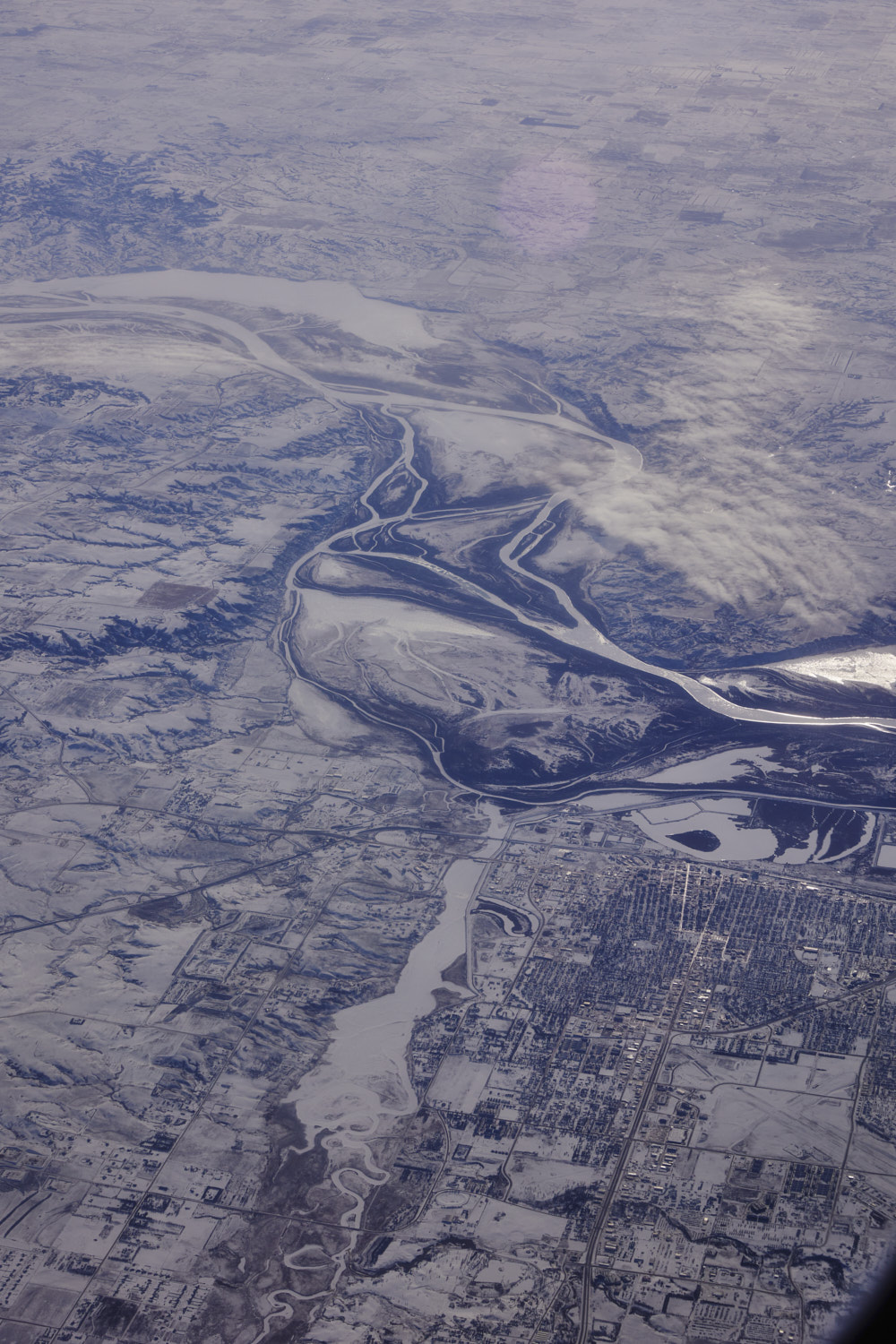 Williston
 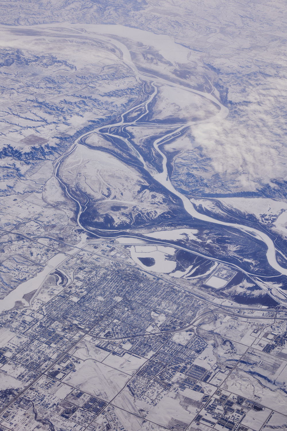 Williston
 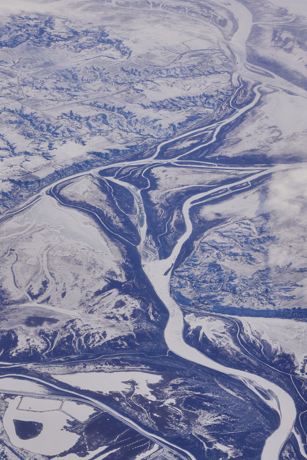 Missouri River
 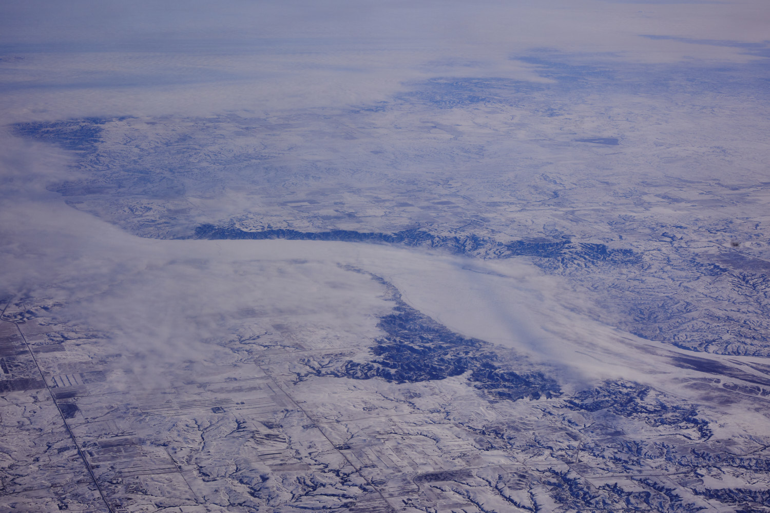 Missouri River looking towards Banks
 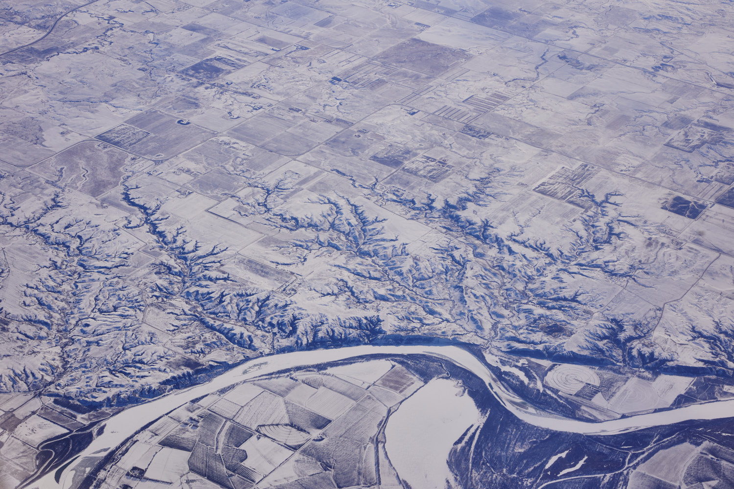 Sioux North Dakota
 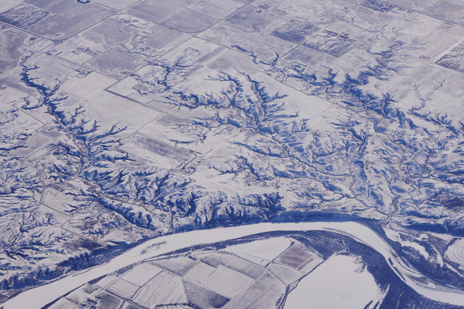 loving these textures
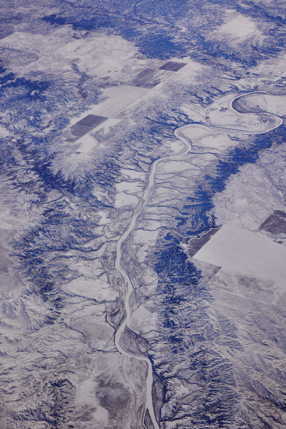
 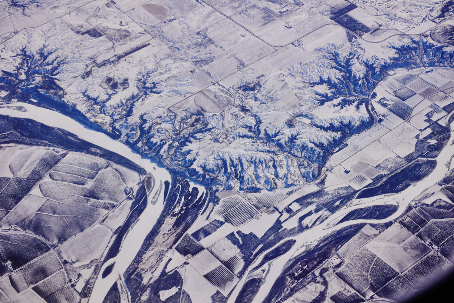 Farmland along the banks of the Missouri River
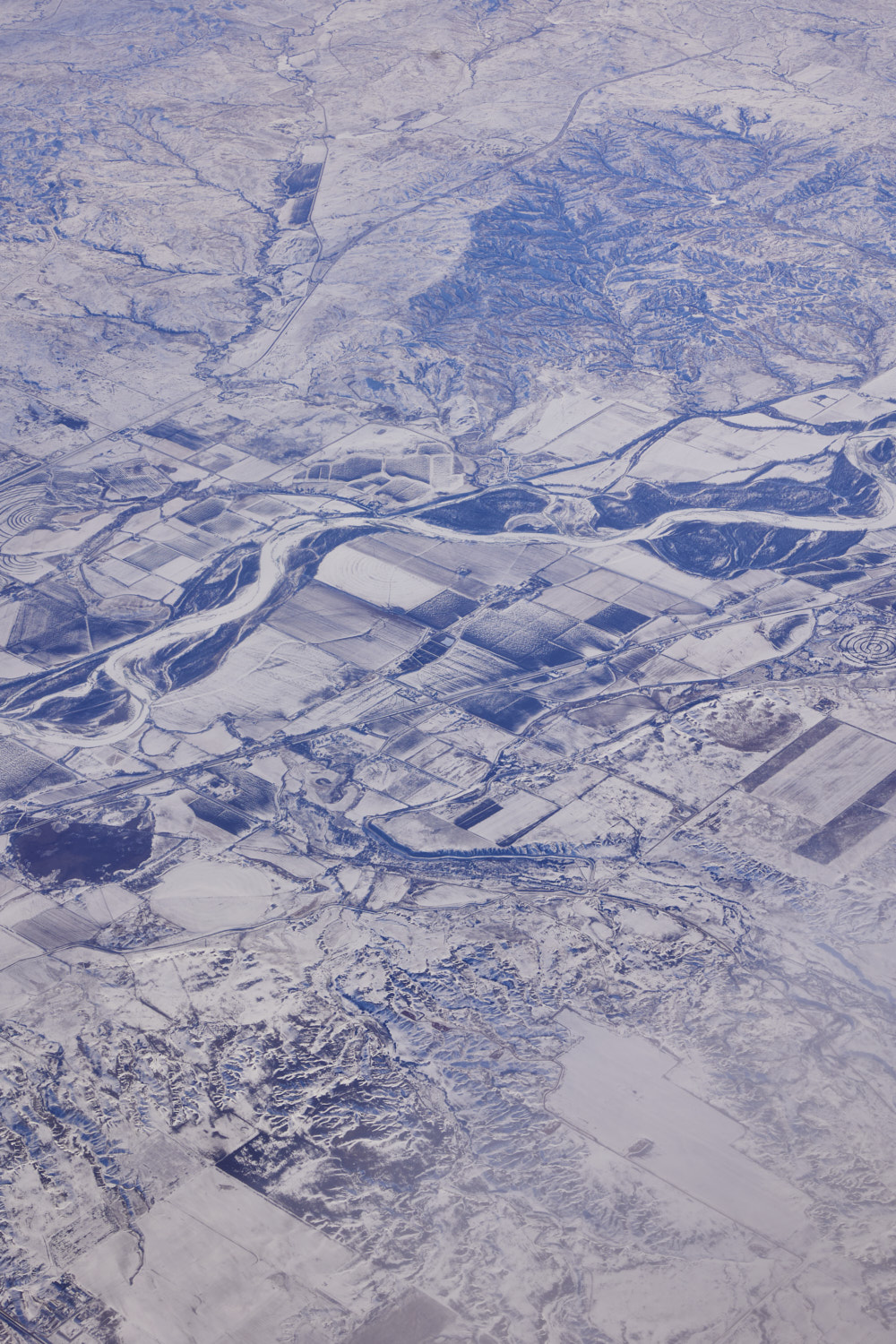 Richland County, Montana and Yellowstone River
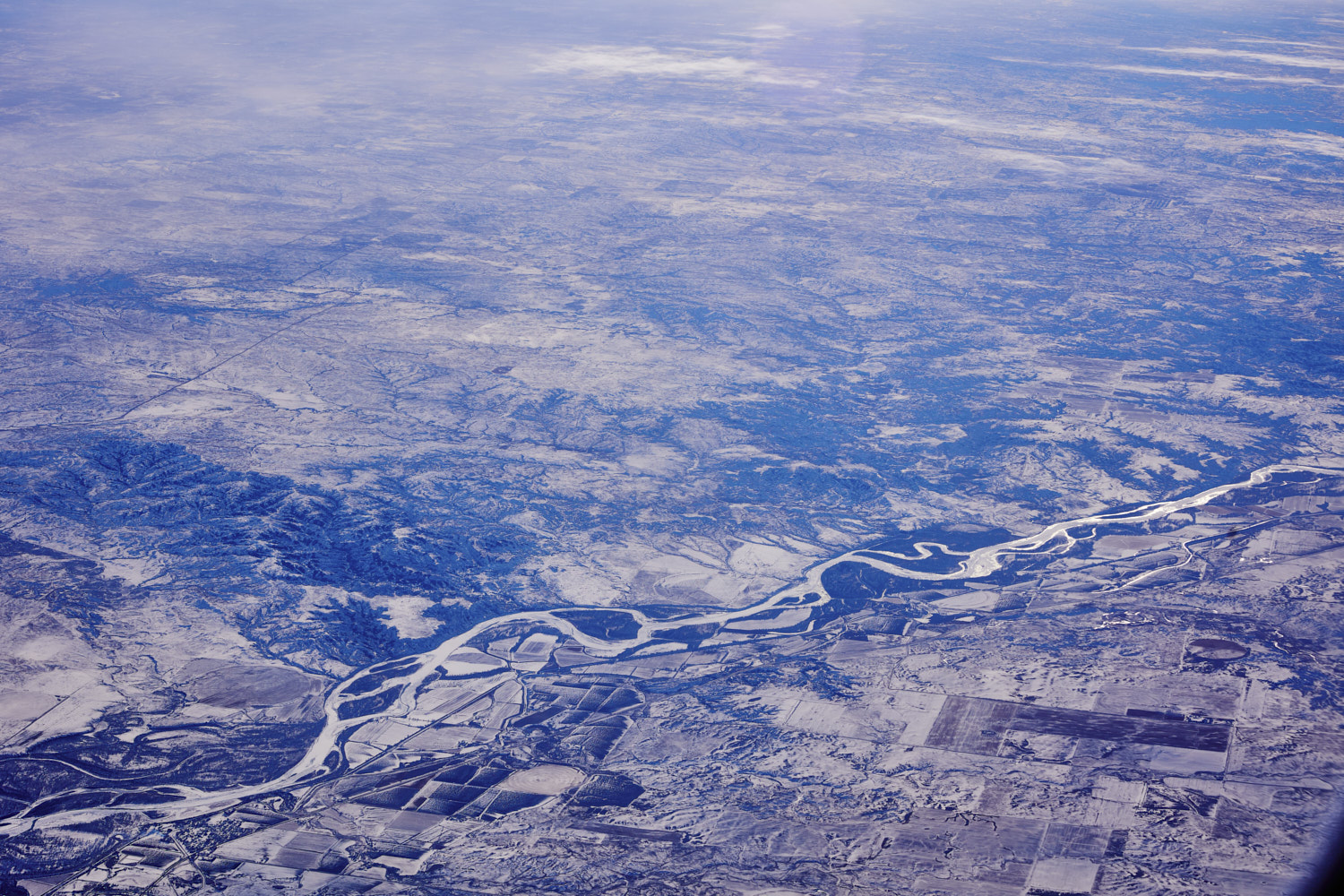 Burns, Yellowstone River
 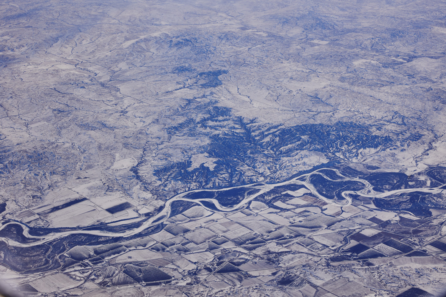 Midway, and Yellowstone River
 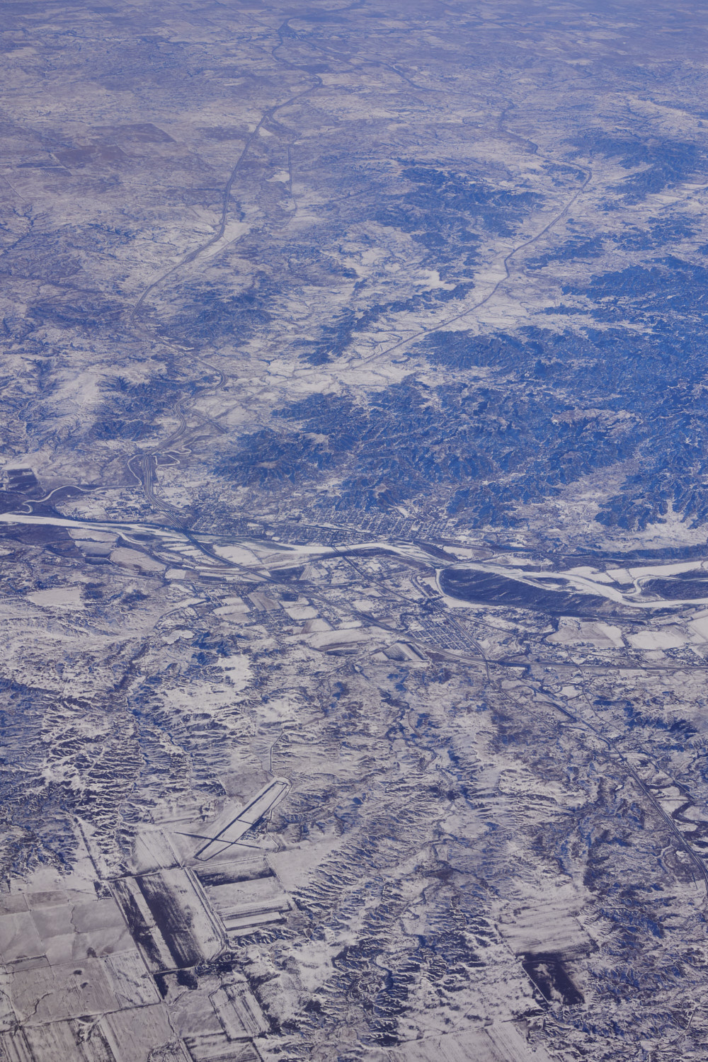 Dawson Community airport
 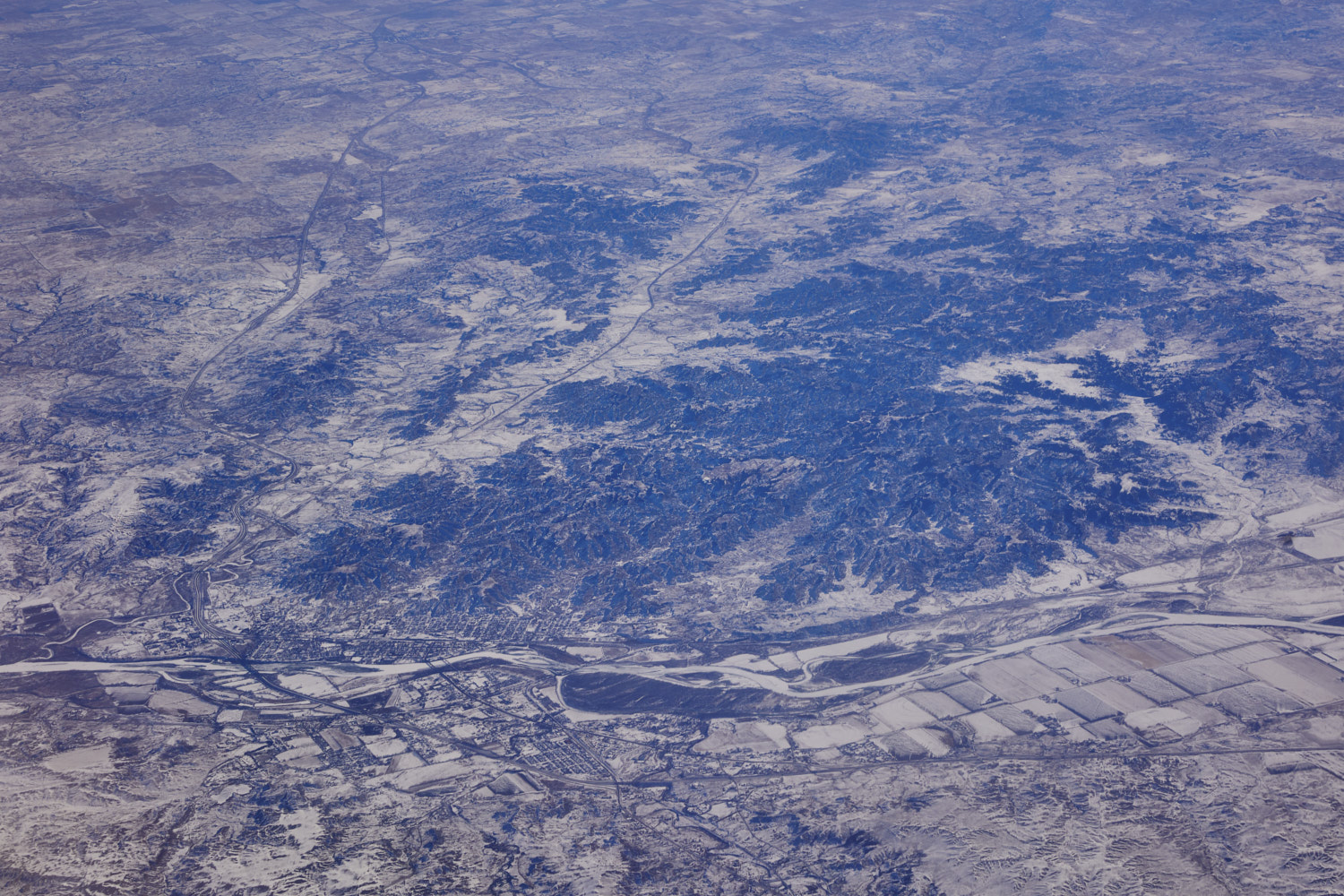 Glendive, Montana
 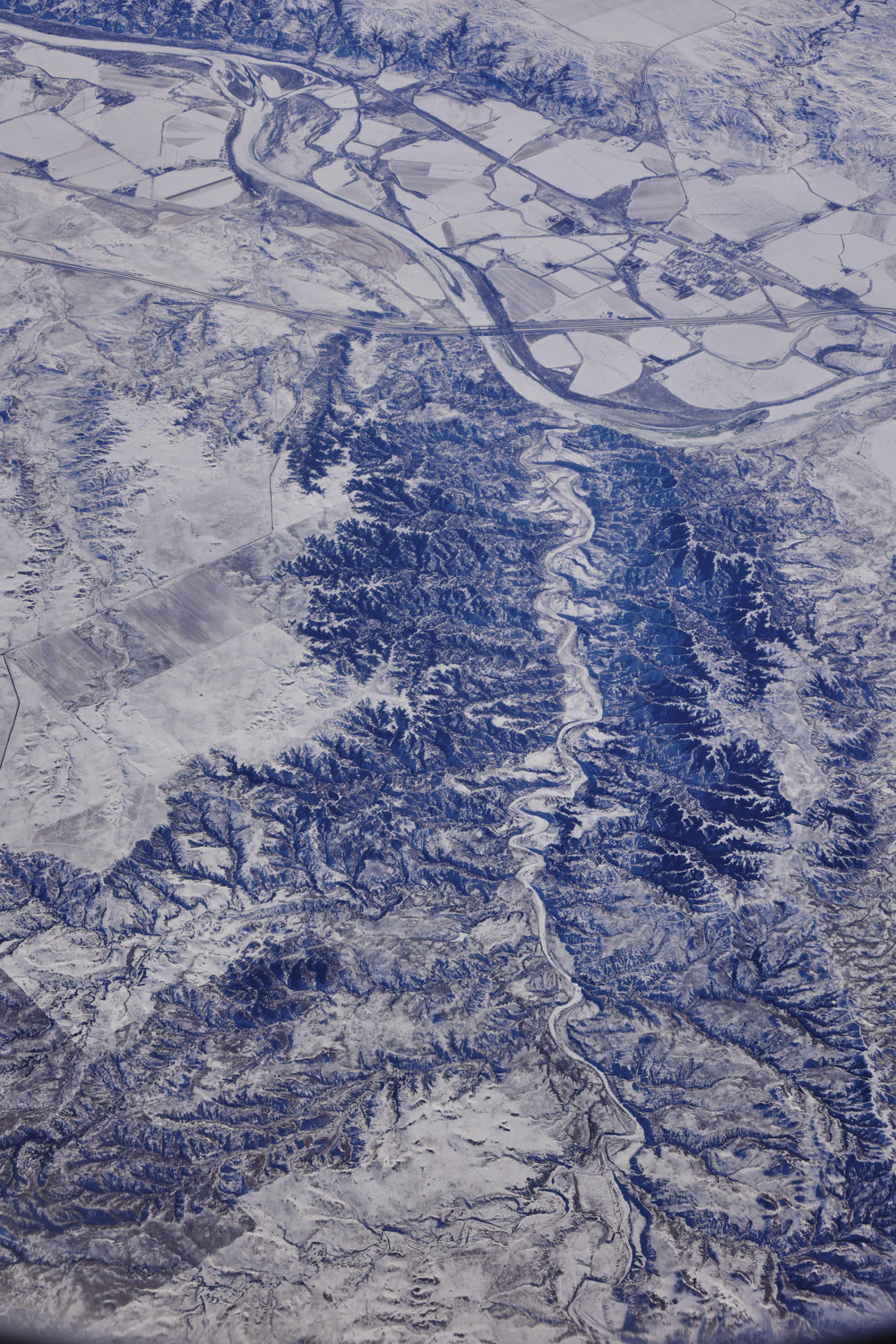 Cottonwood creek, flowing in the Yellowstone river near Fallon
 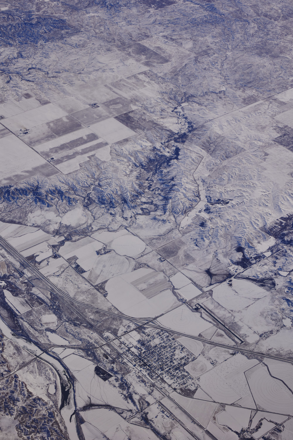 Terry, Montana
  Powder River, just before she flows into Yellowstone River
 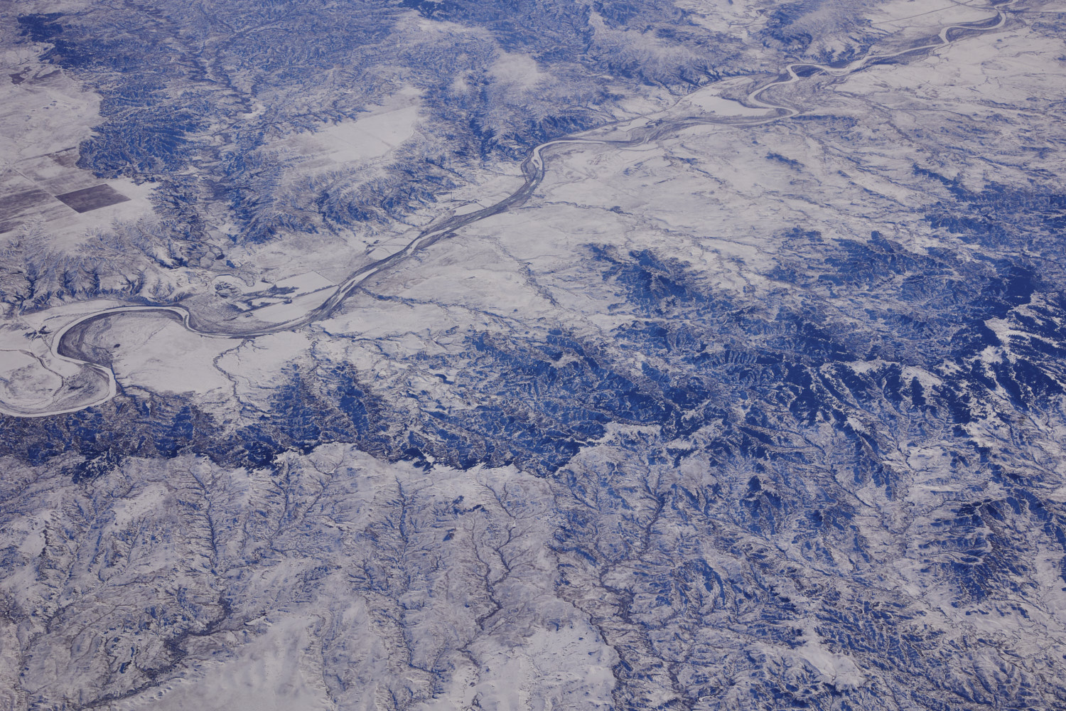 Custer County Montana
 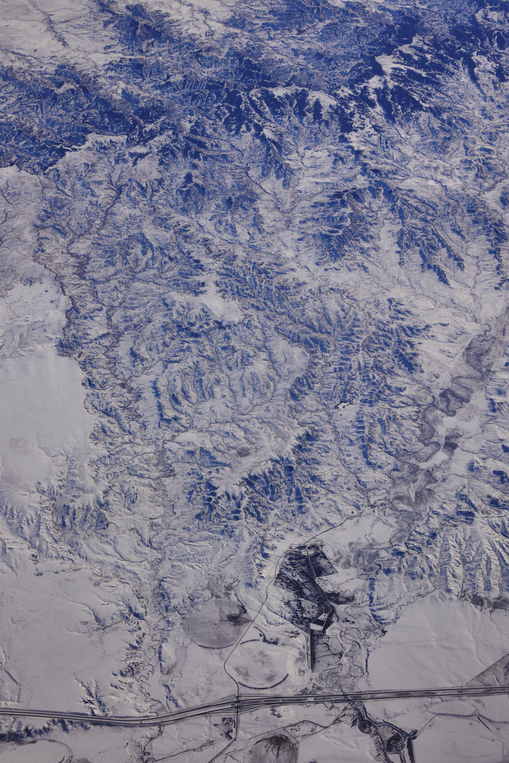 The 94 near Shirley
 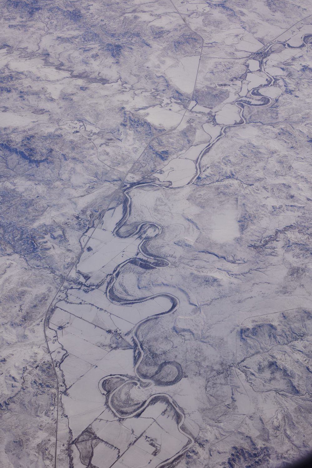 Tongue River
 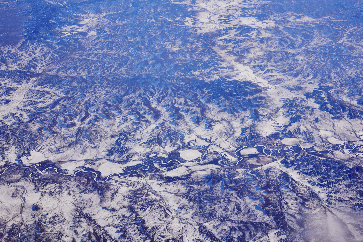 Brandenburg, Tongue River
 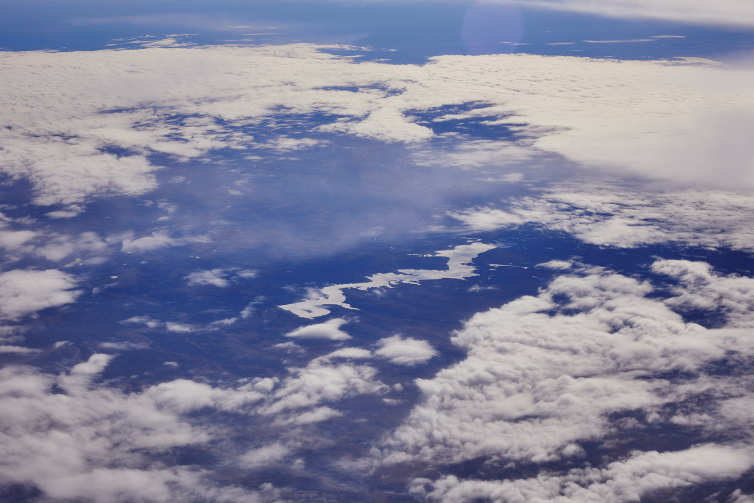 Tongue River Reservoir, and then the clouds set in again for all Wyoming and most of Arizona
 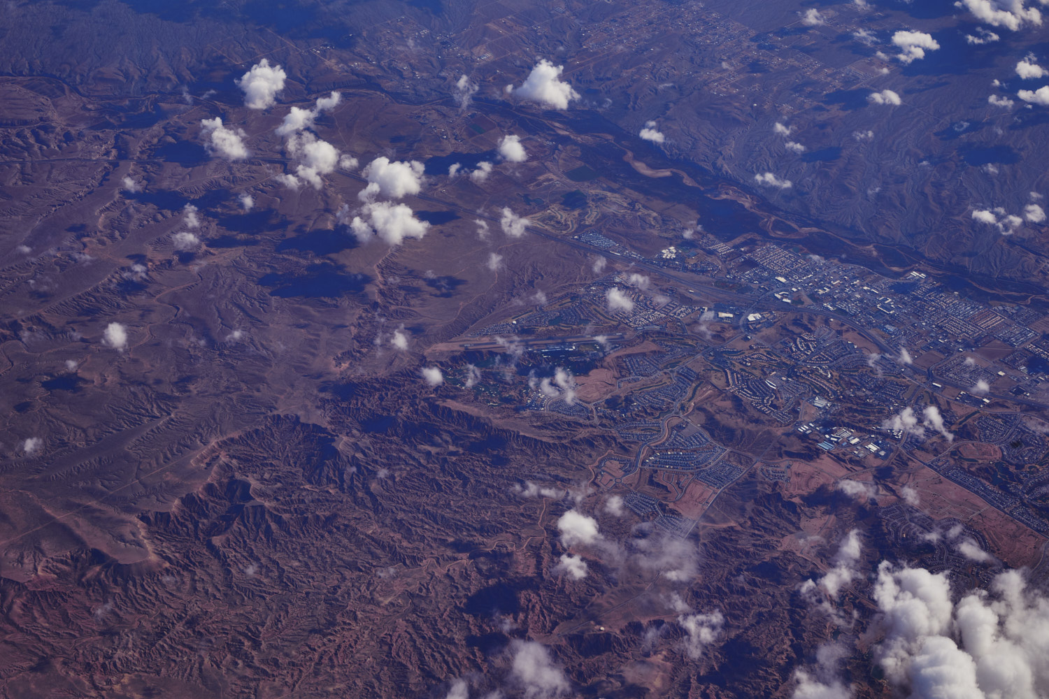 Mesquite, Clark County, Nevada
 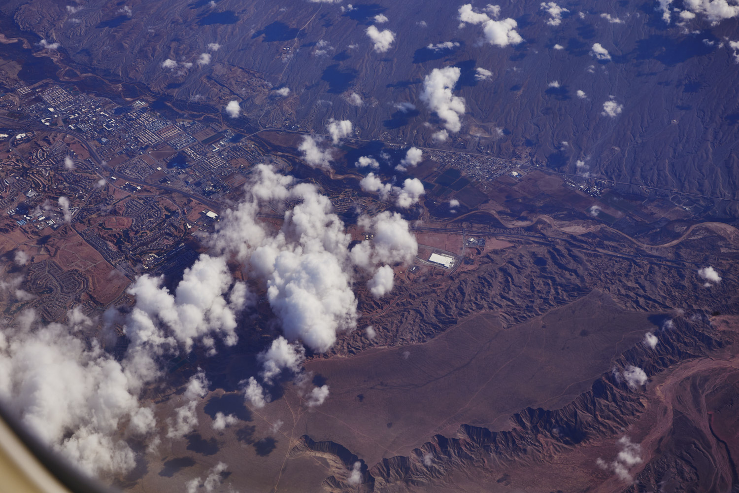 plateau near Mesquite
 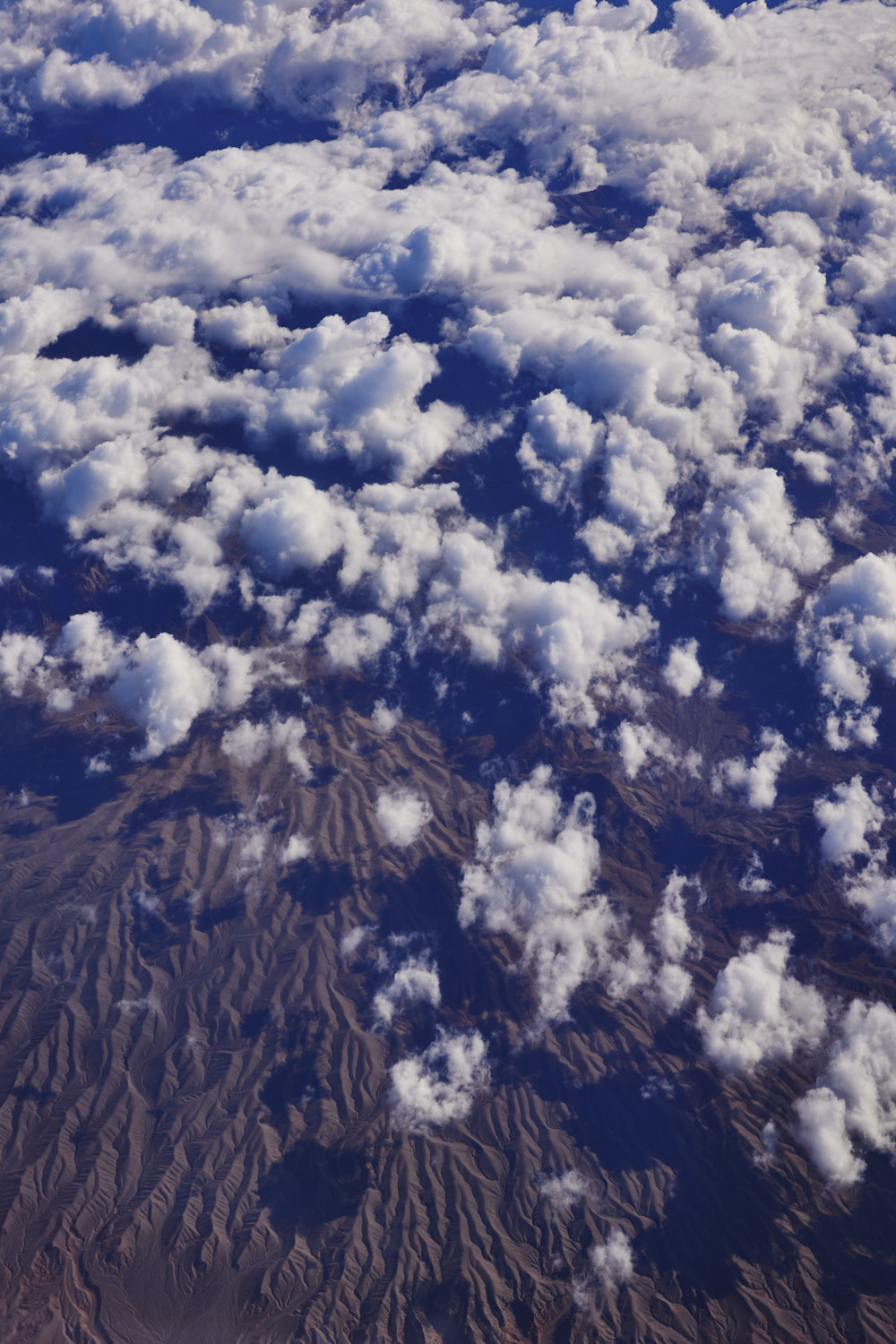 near Riverside
 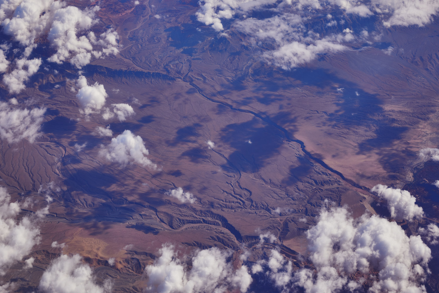 Bark Bay and Mush way with the Virgin river just under the cloud
 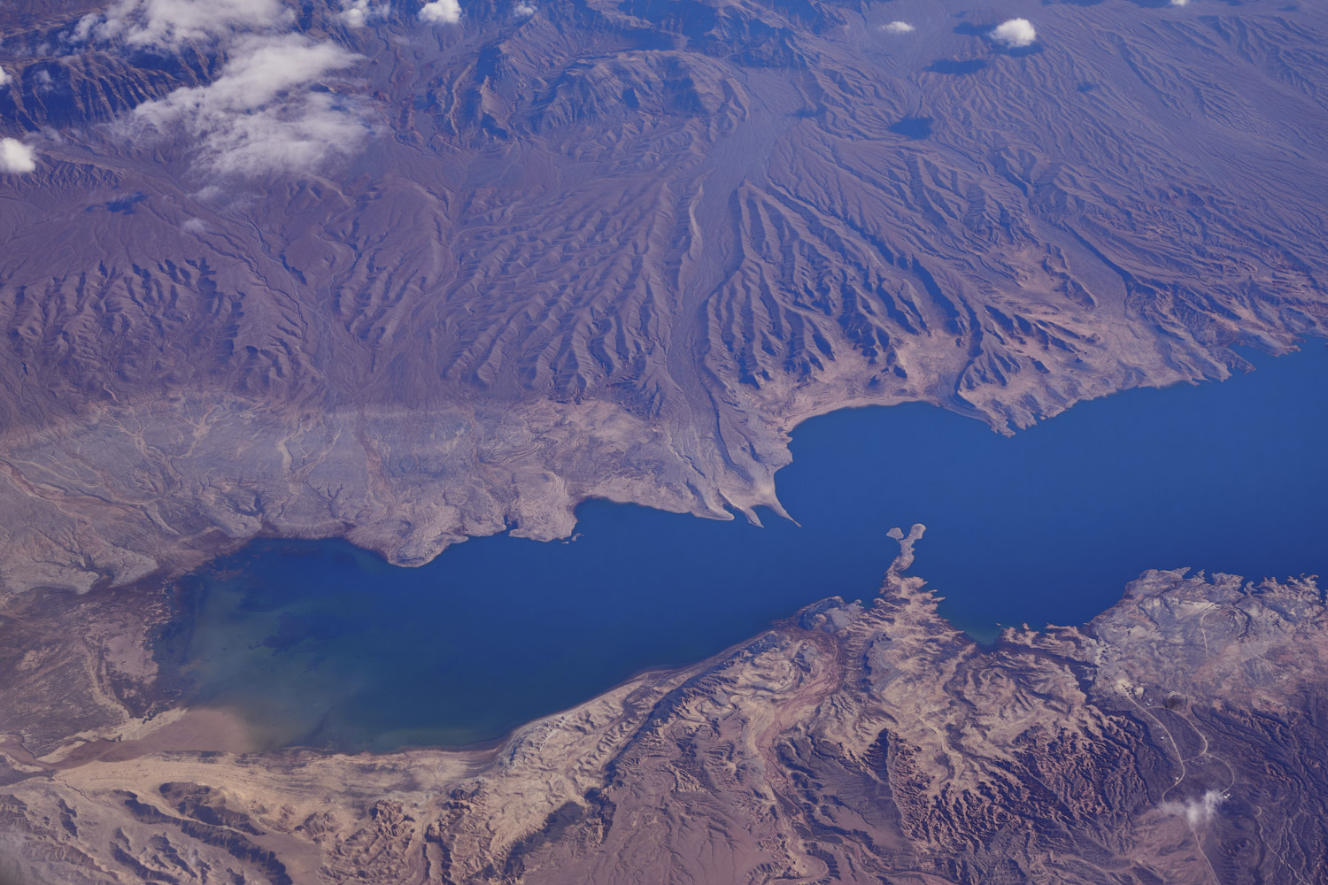 Overton Arm
 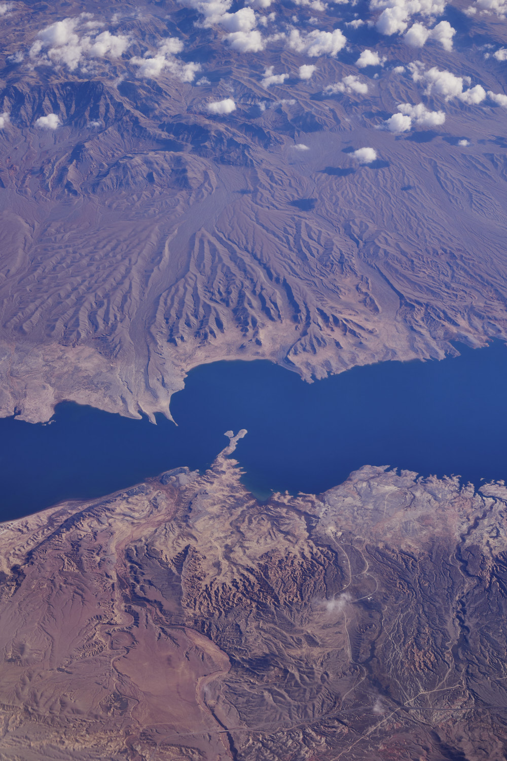 Lime Canyon Wilderness at the top and Valley of Fire on the bottom
 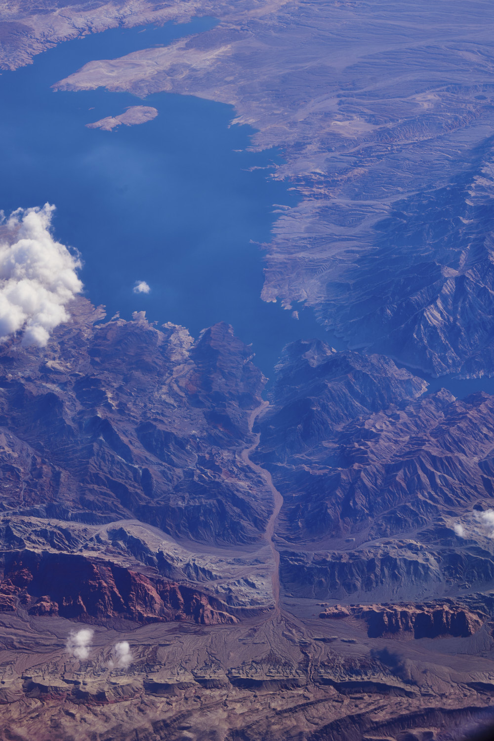 Boulder Wash Cove, and the Arizone, Nevada border running in the middle of the Colorado River
 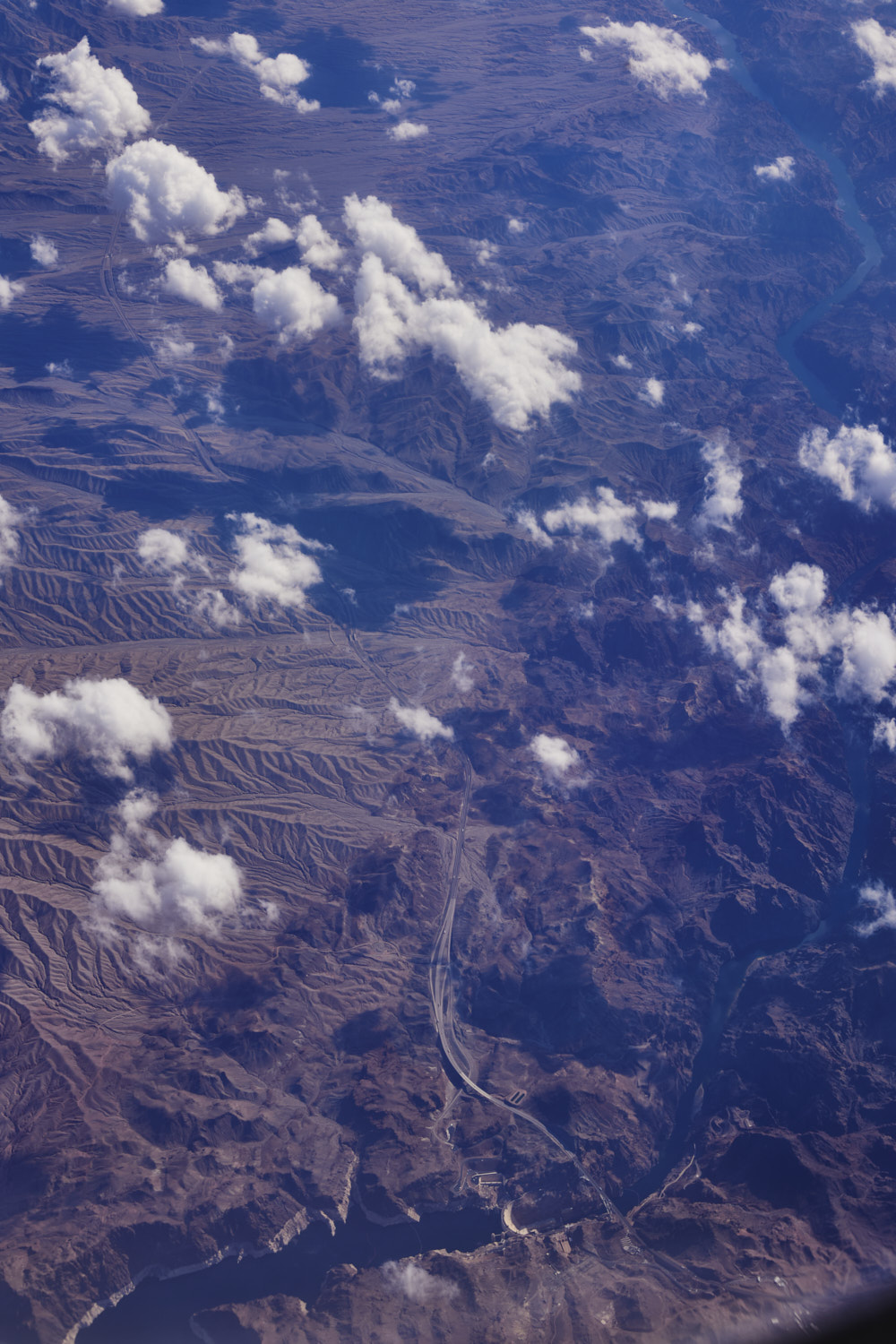 Hoover Dam
 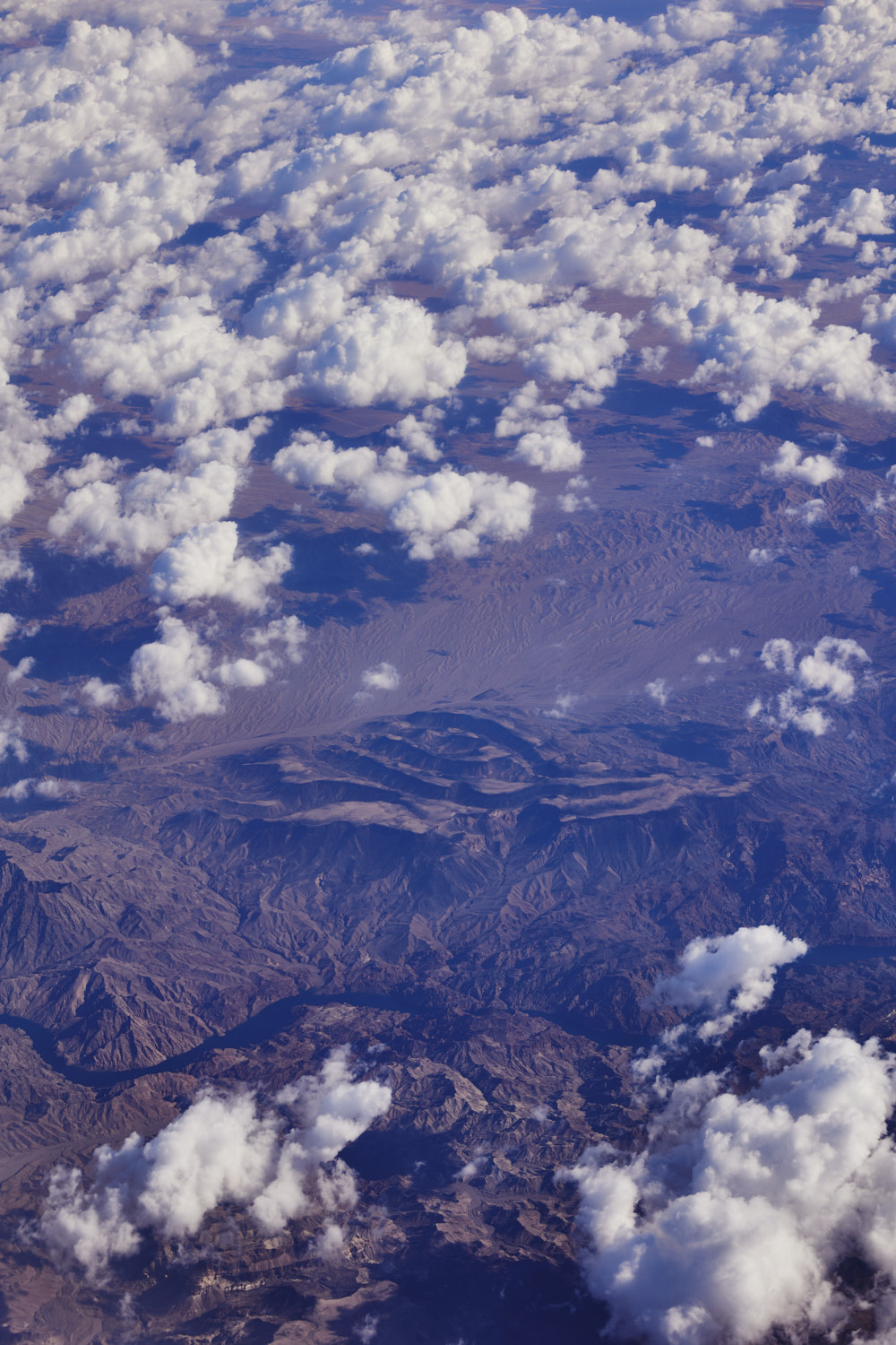 Arizona in top, Nevada on the bottom and if I was on the other side I would be looking straight at Las Vegas
 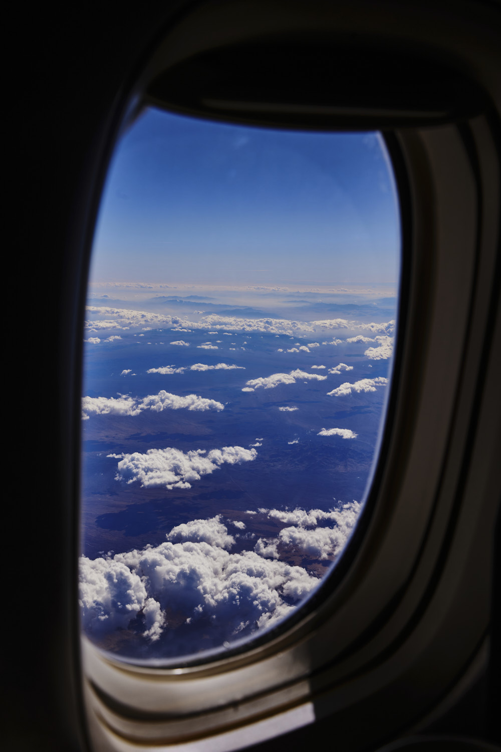 looking towards Phoenix
 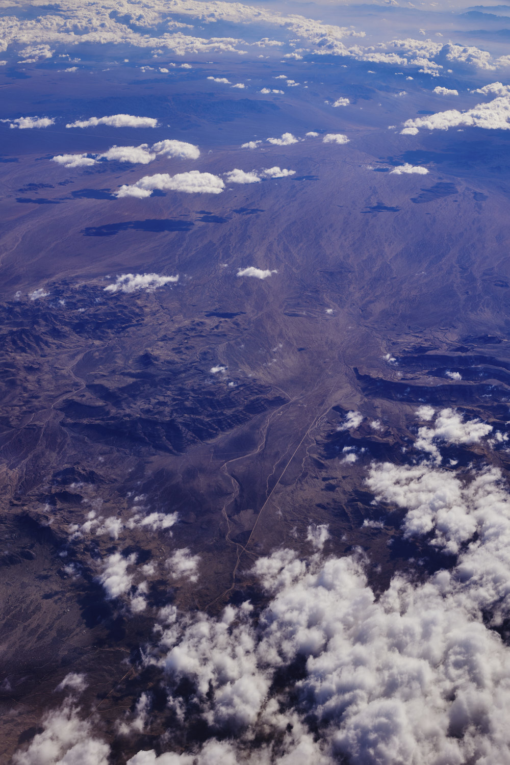 and crossed over into California now, Hole in the Wall
 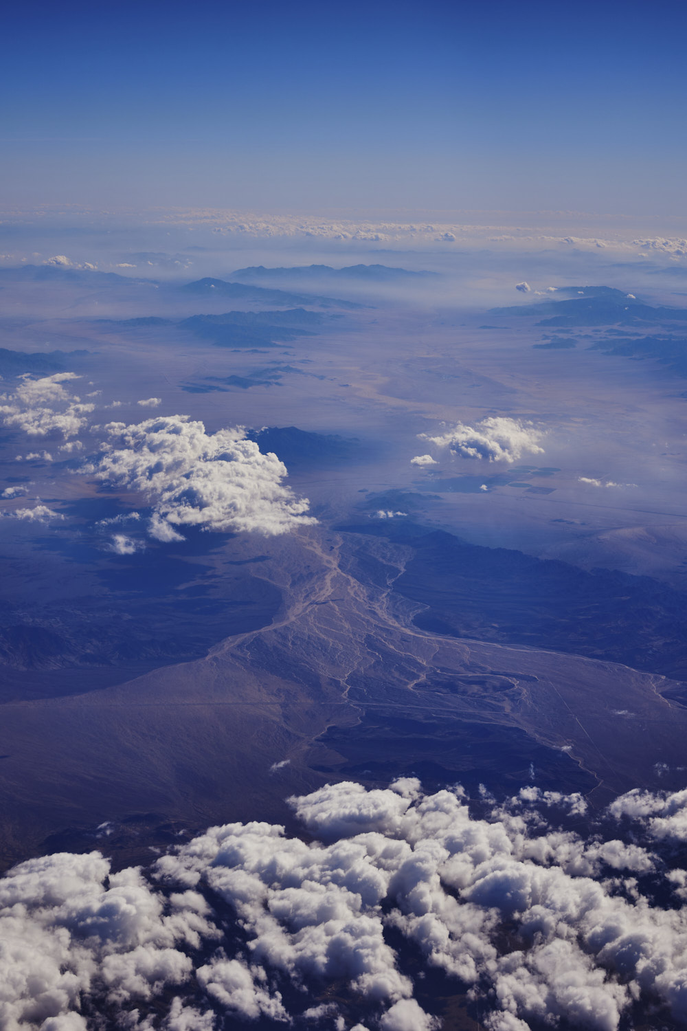 Clipper Mountain Wilderness on the left and Trilobite Wilderness area on the right and the 40 highway
 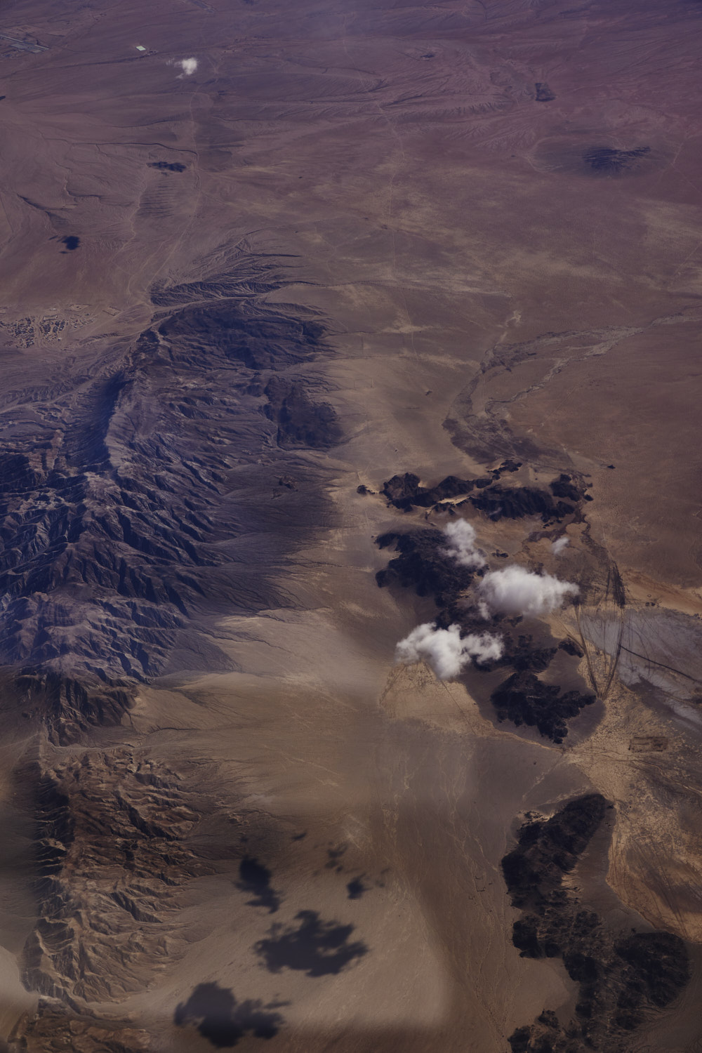 Mountain range with no name near Landers Valley and Flamingo Heights
 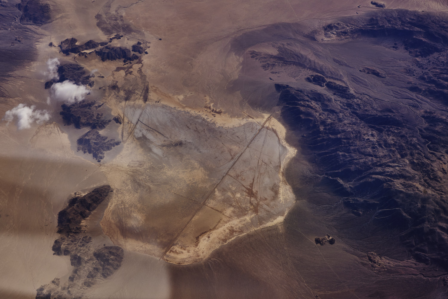 looks like salt pan near Fissure mountain
 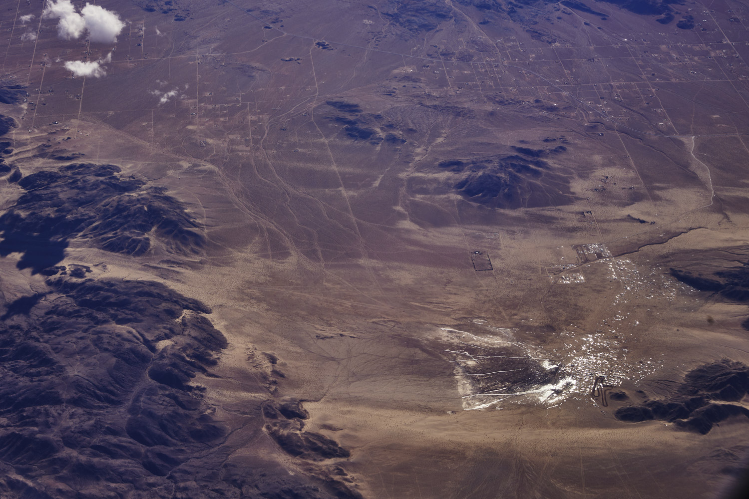 a glistening Hammertown, usually very dusty and dry, but a big rain storm just hit Los Angeles and obviously out here as well
 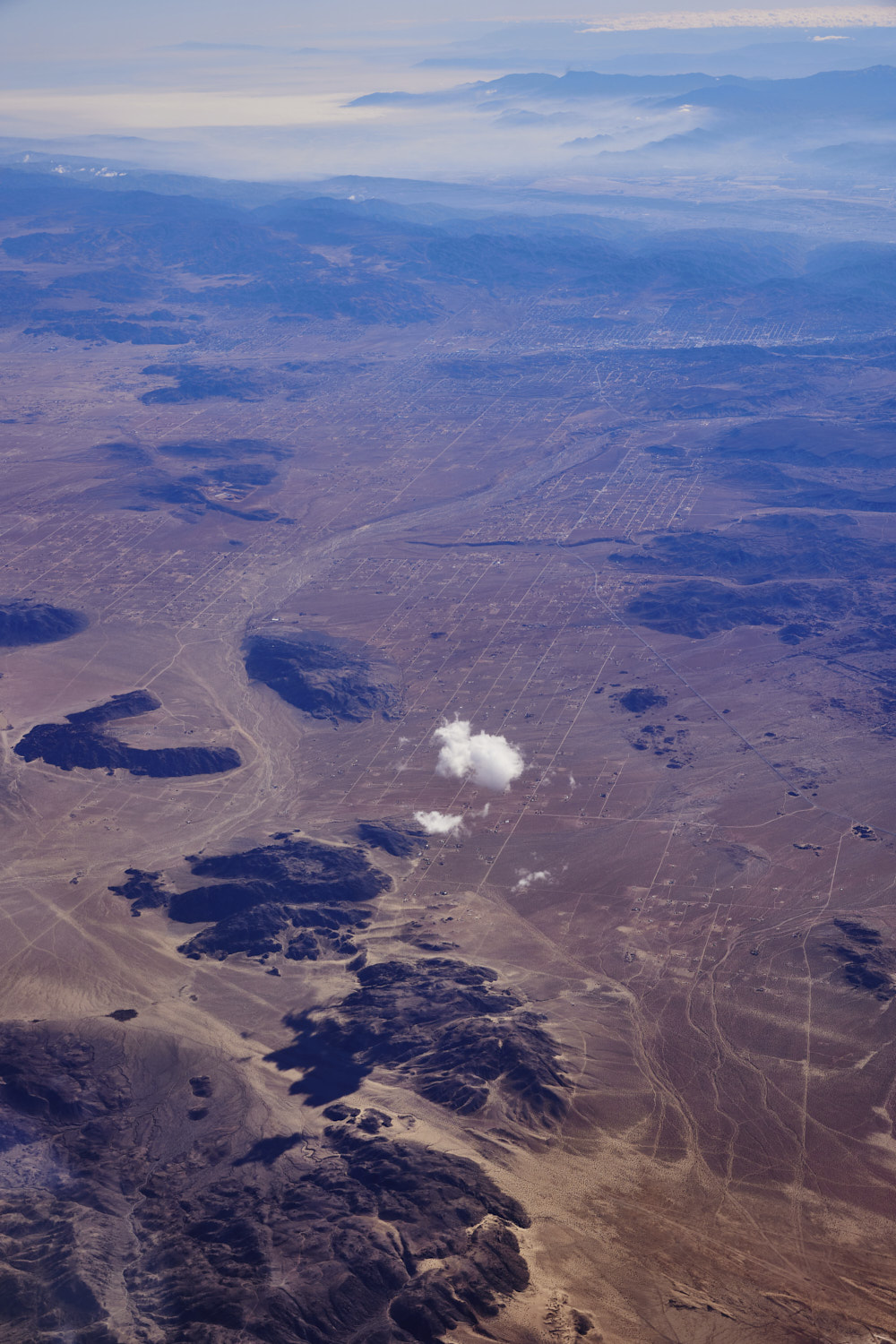 looking towards Yucca Valley
 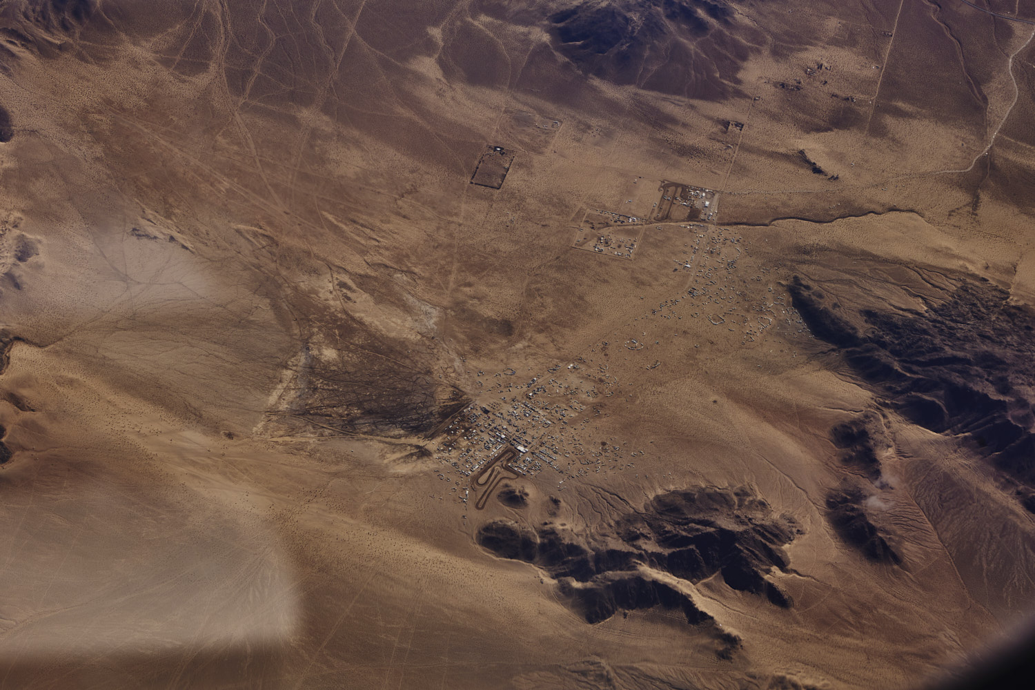 Hammertown, looks like a burning man event from up here
 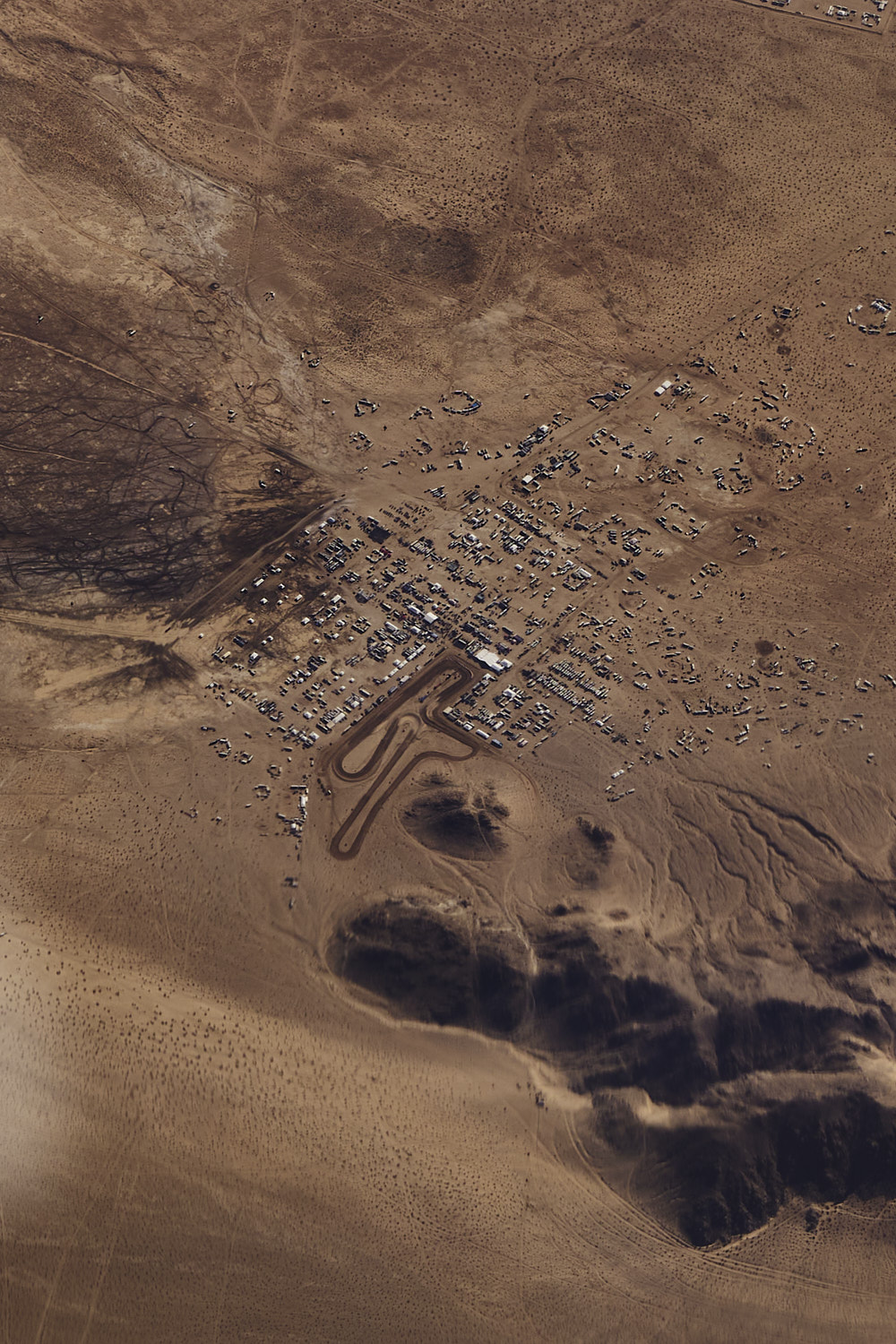 but no, it is more of a petrol head event, with lots of dirt bikes, quad bikes, hitting the dirt and the rocky outcrops
 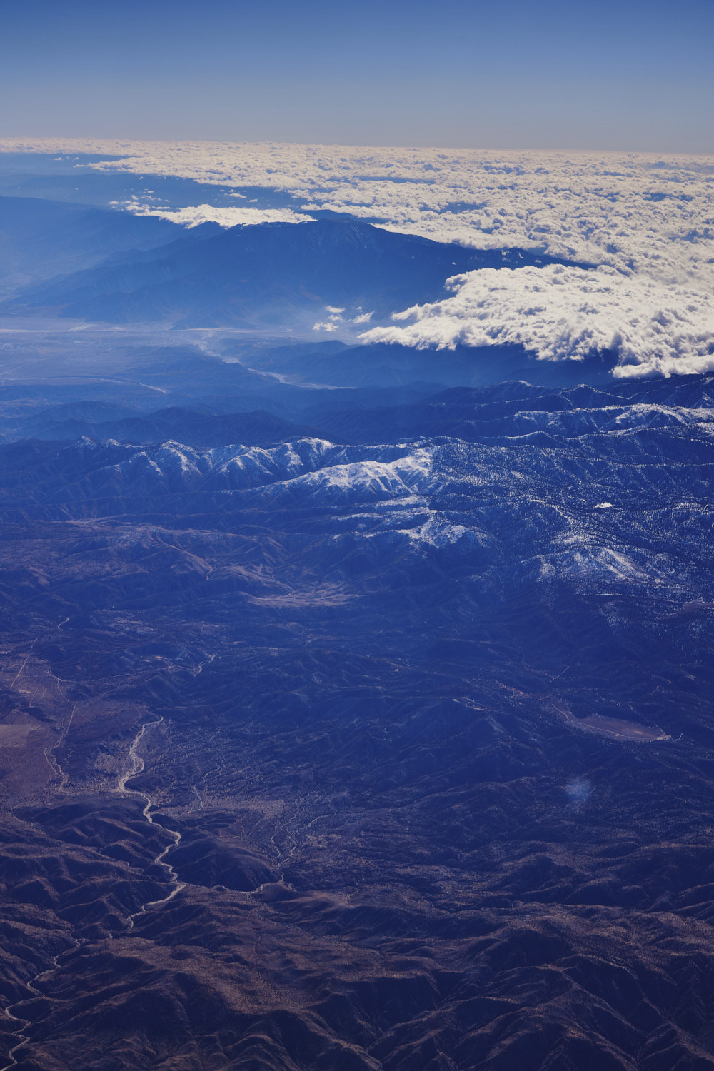 with a name like Rattlesnake canyon, not sure I want to visit the canyon on the left, the snowy mountains out from Los Angeles more my speed
 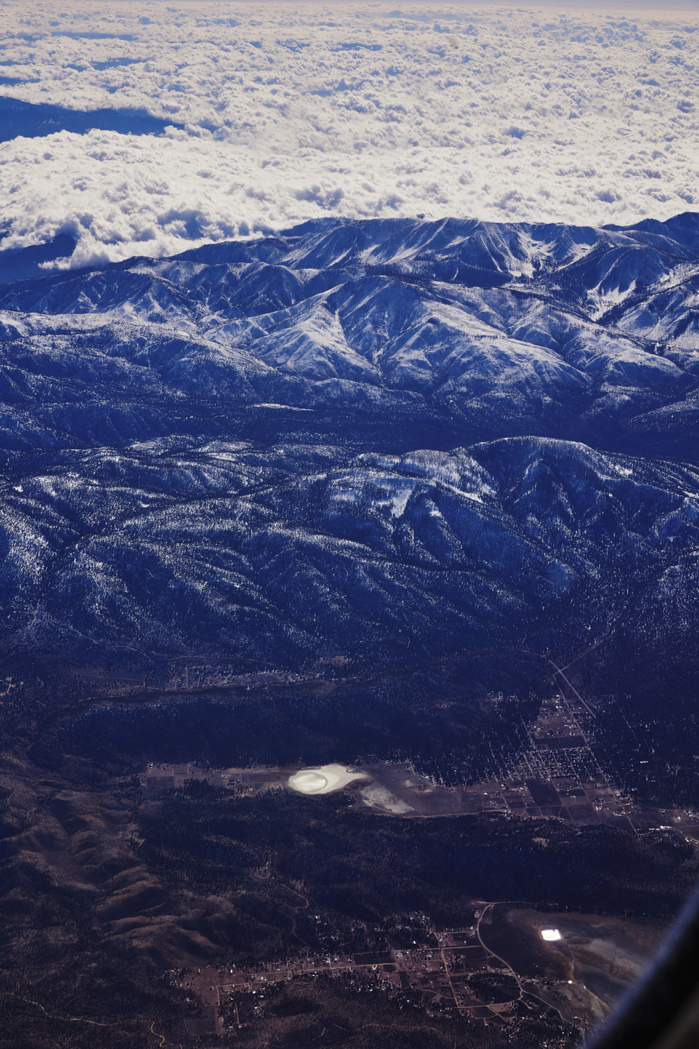 Sugar loaf Mountain on top of Sugarloaf town and San Gorgonio Mountain in the back
 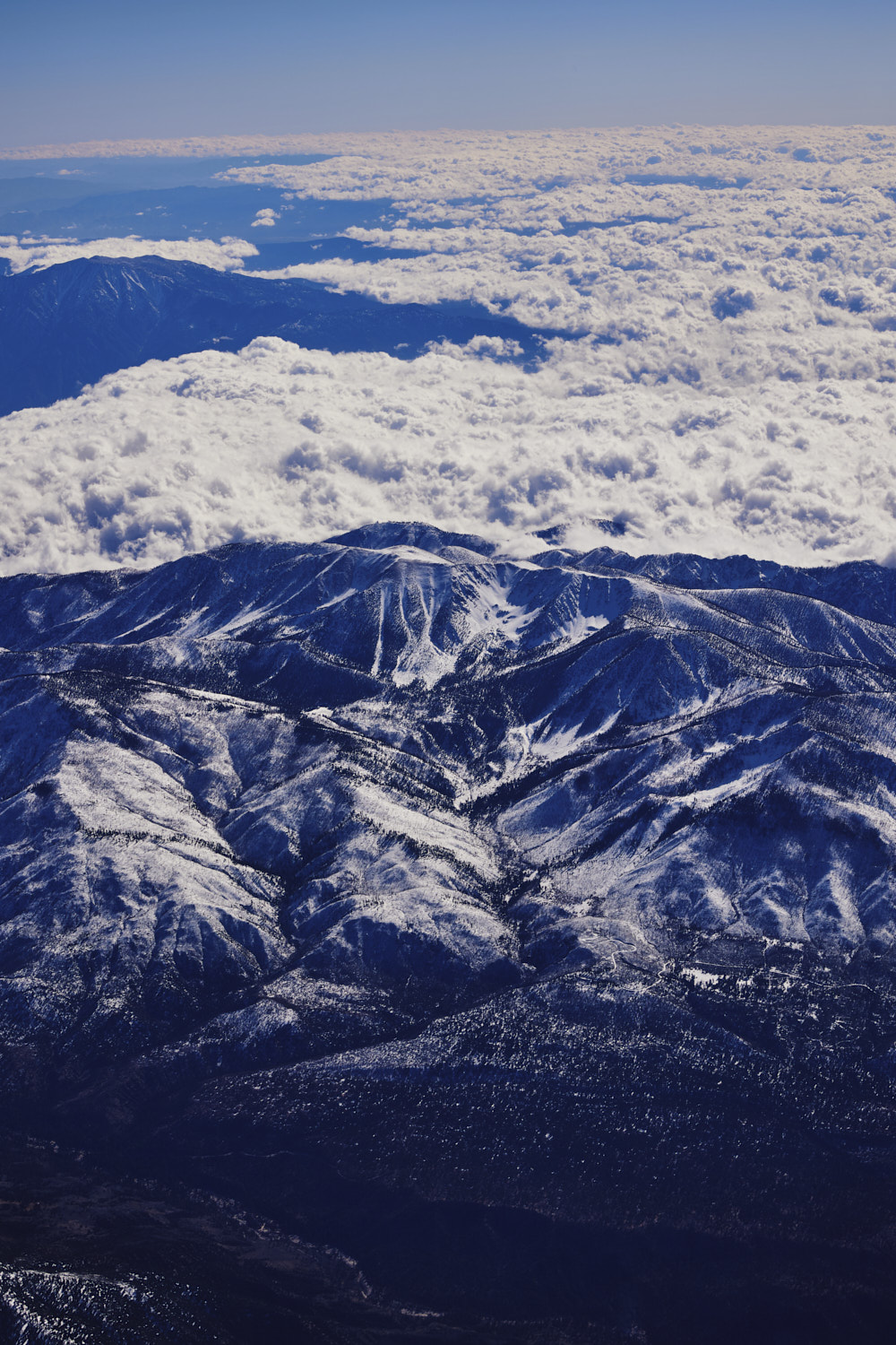 looks like could be some good ski runs coming down from Big Draw Peak
 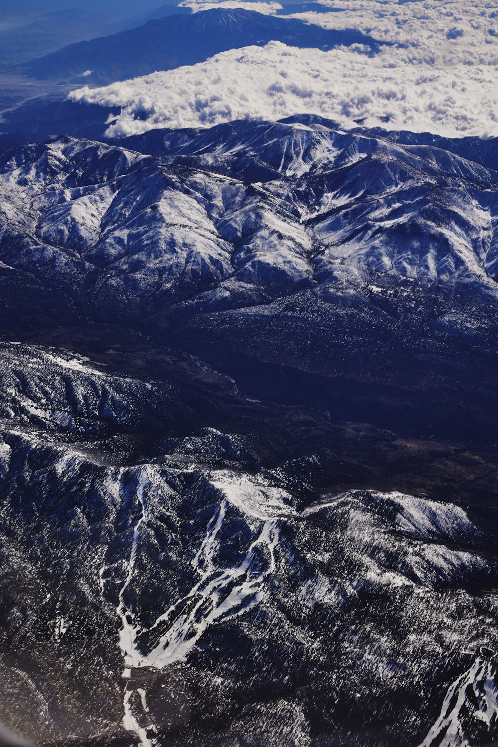 but instead, there is a little ski area at Bear Mountain next to Sugarloaf mountain
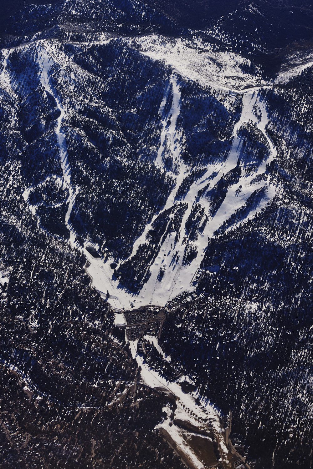 looks decent enough, and when you think it's only a 2 hour drive from Hollywood, then it is pretty awesome
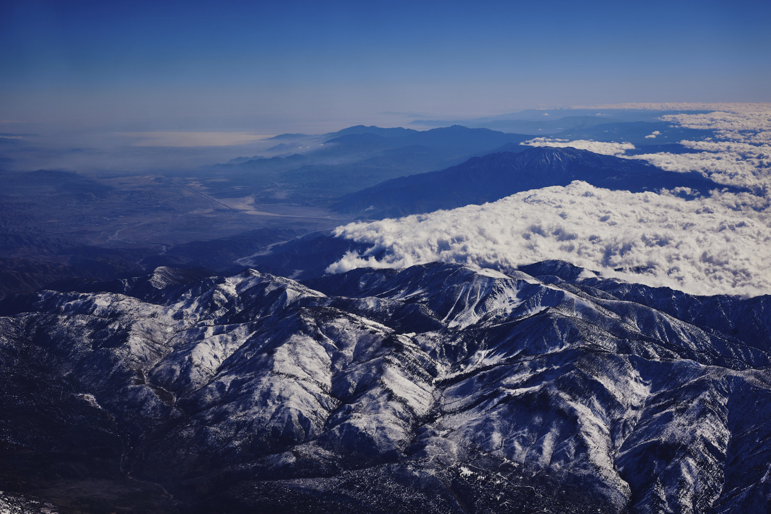 so pretty and so close to LA
  crossing the San Bernardino Mountains to drop down into the San Bernardino Valley
 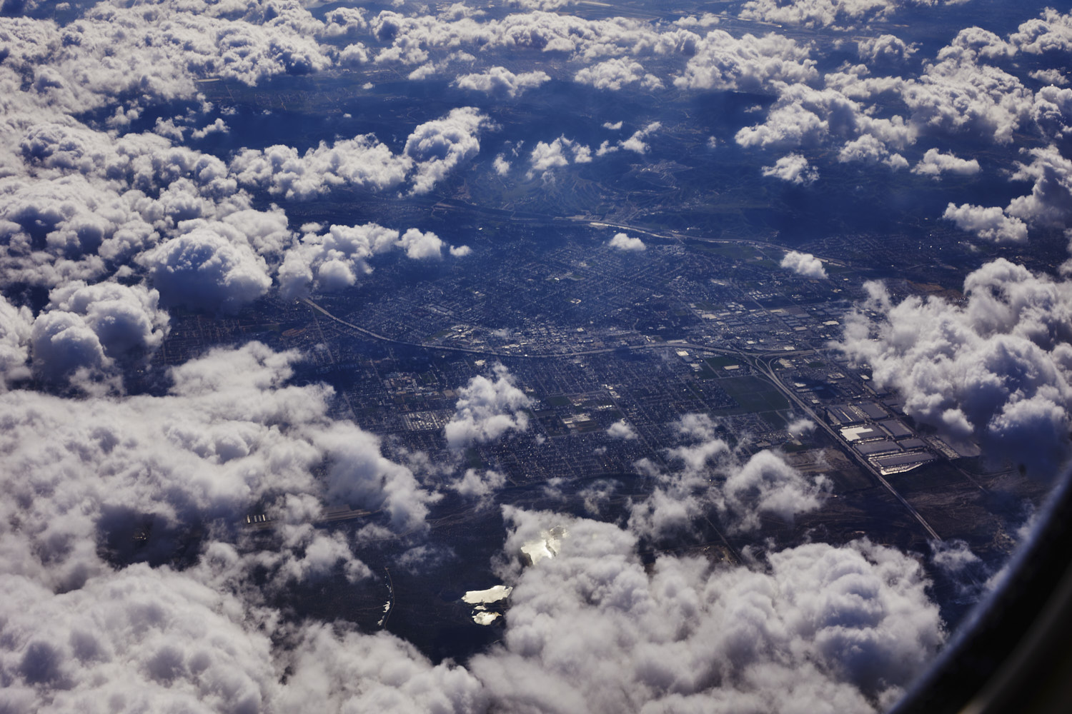 Redlands
 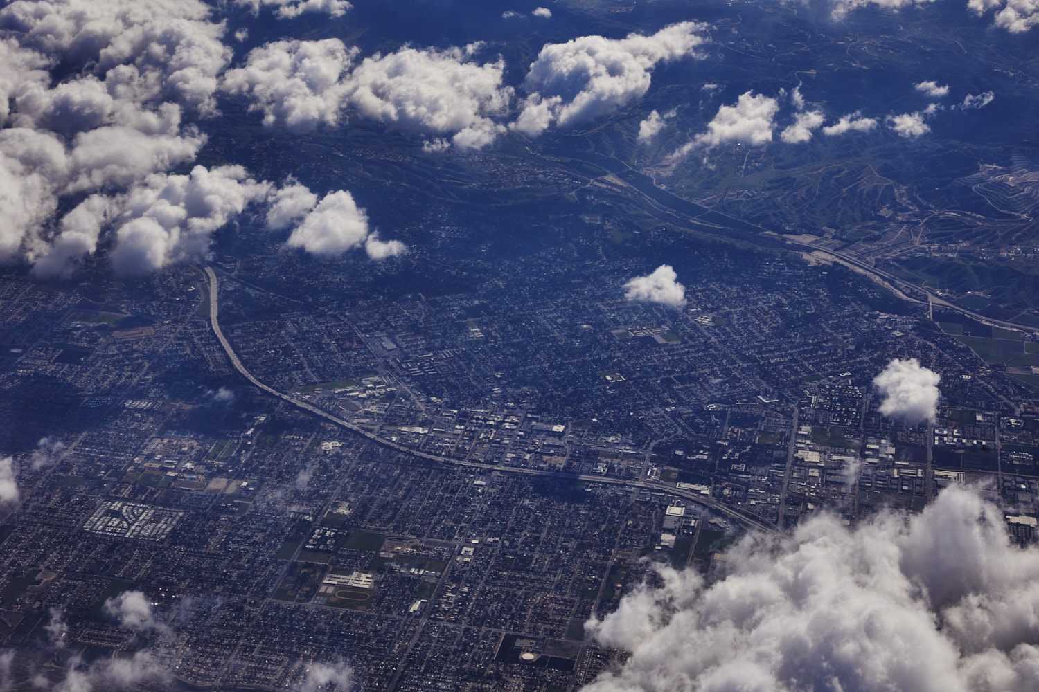 Redlands
 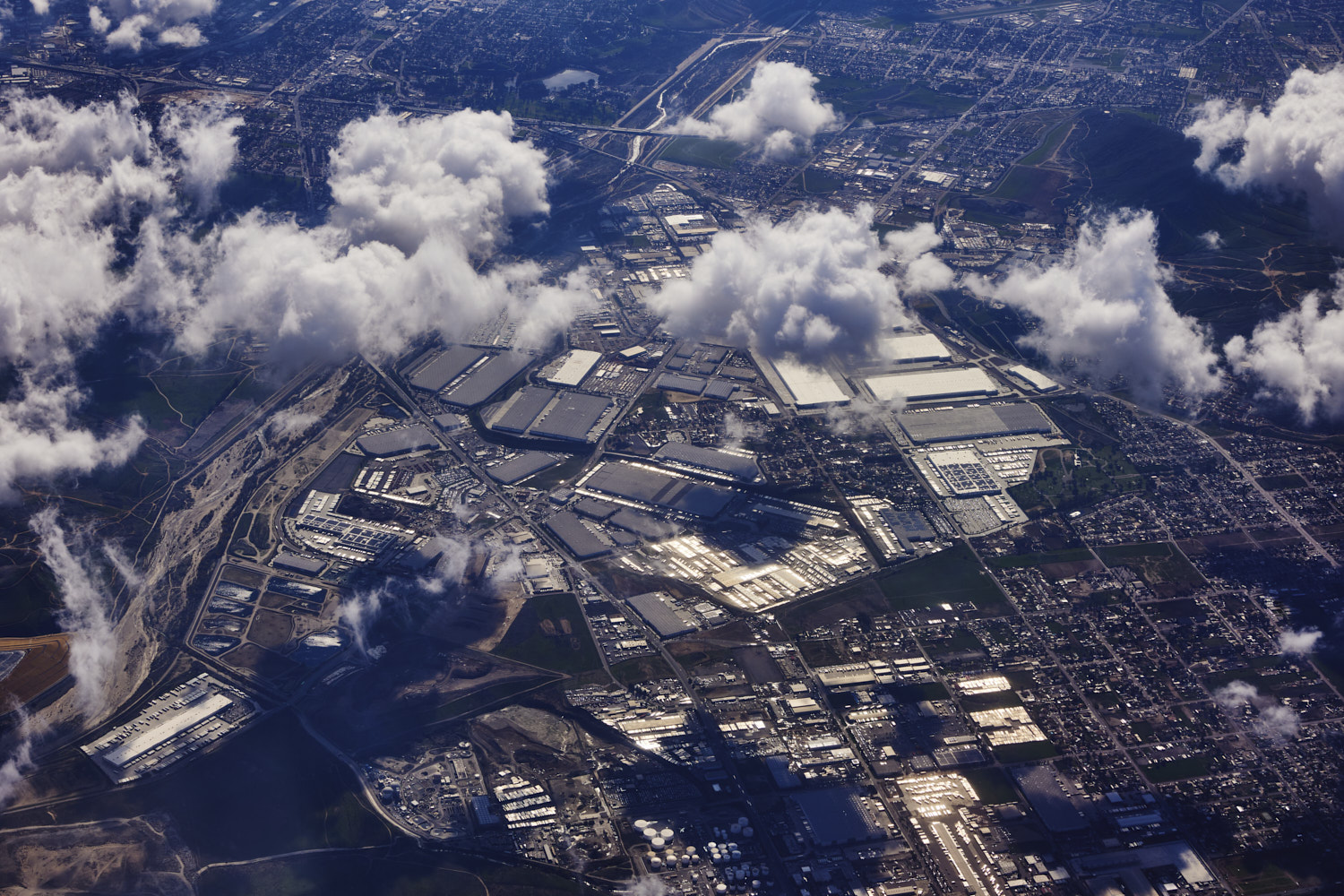 Agua Mansa industrial corridor
 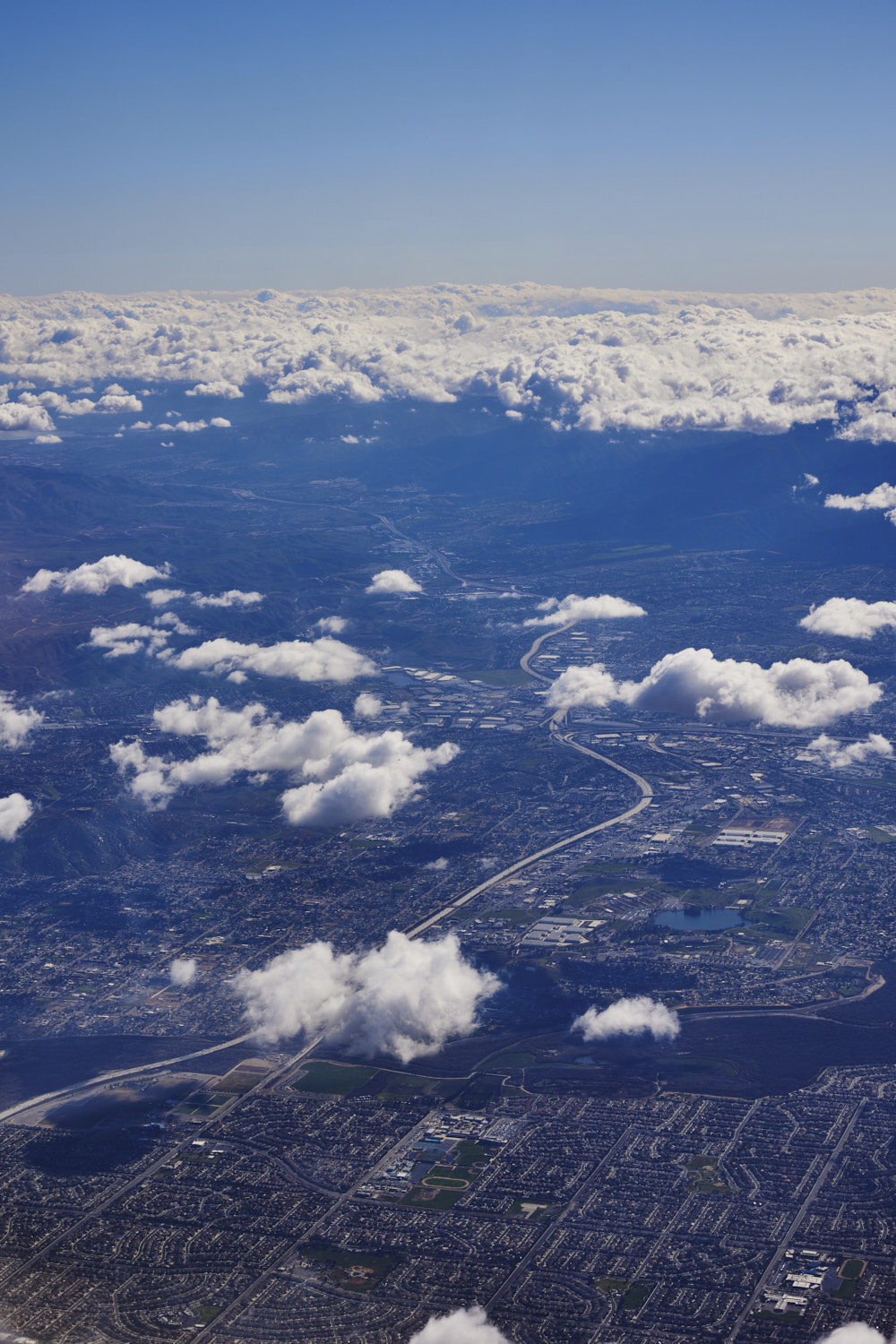 Eastvale
 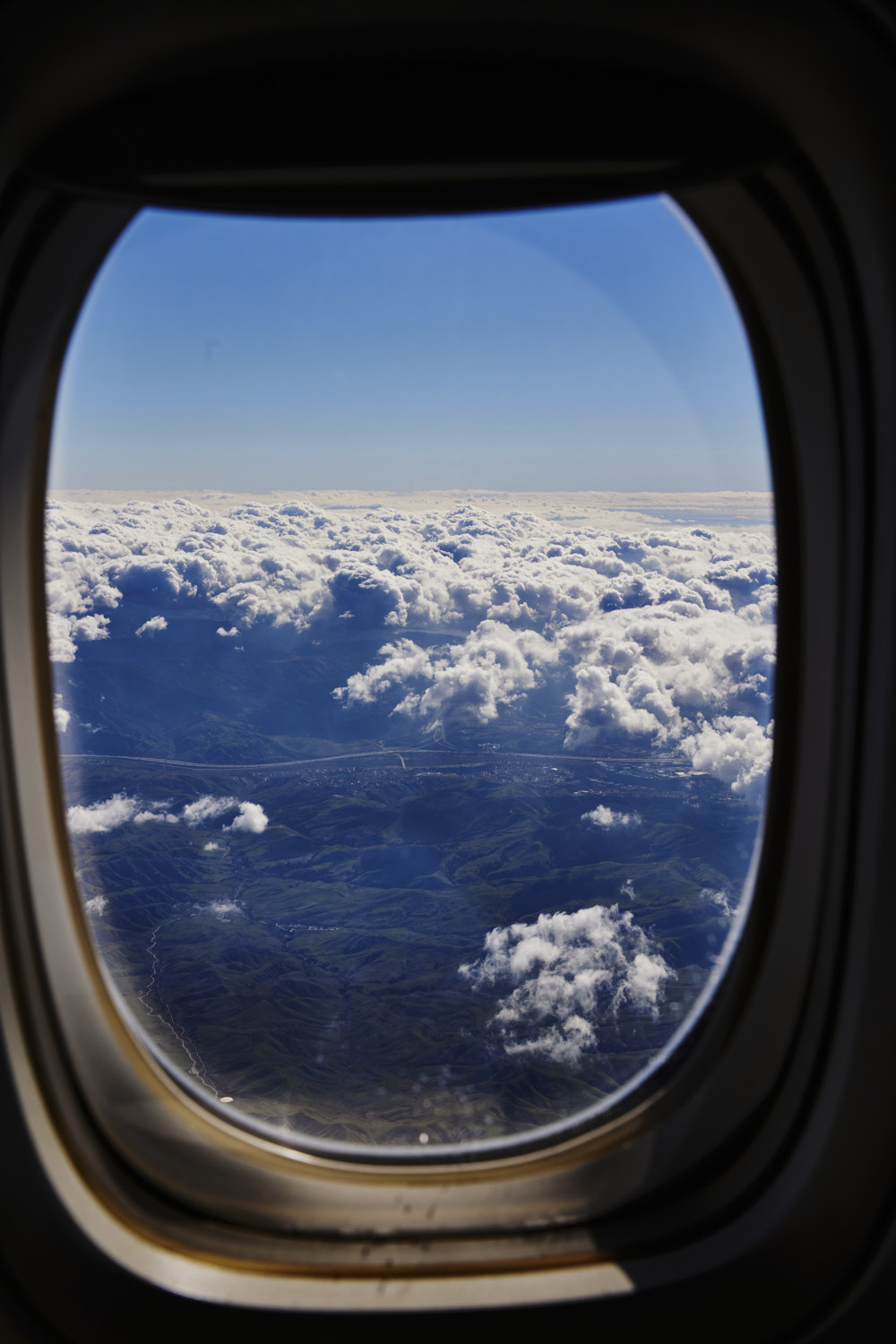 Chino Hills state Park
 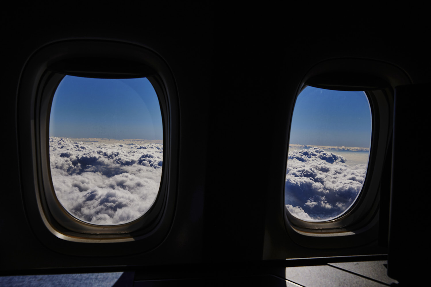 descending through clouds
 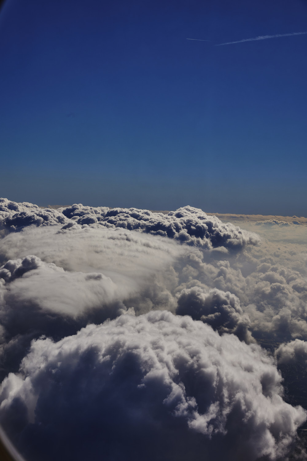 slowly going down
 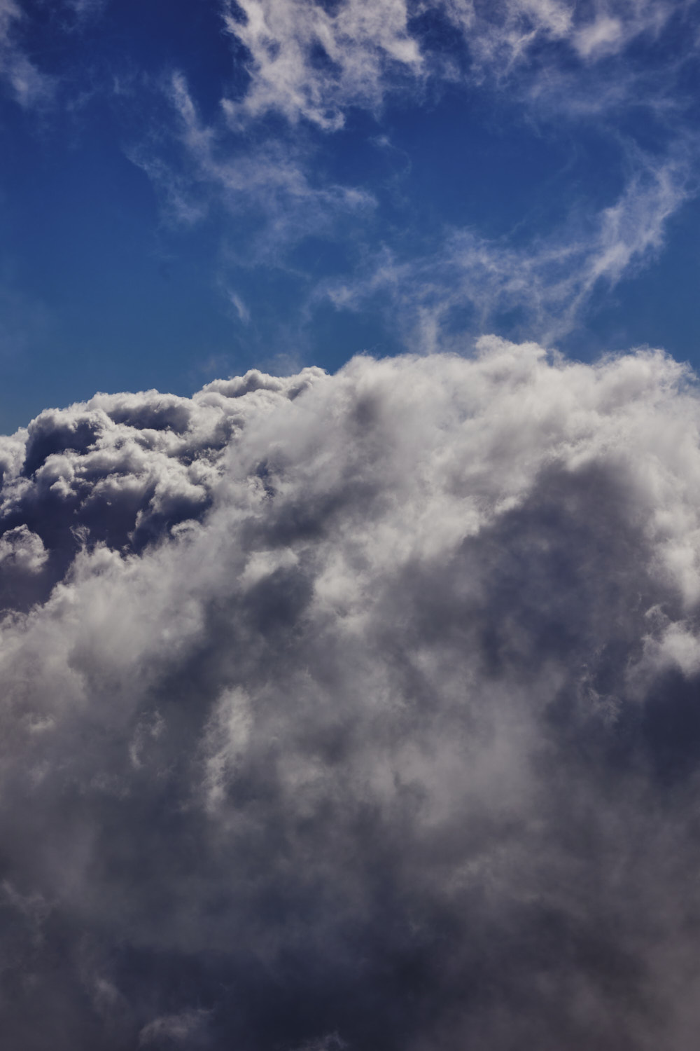 so many clouds in LA ( does not happen very often )
 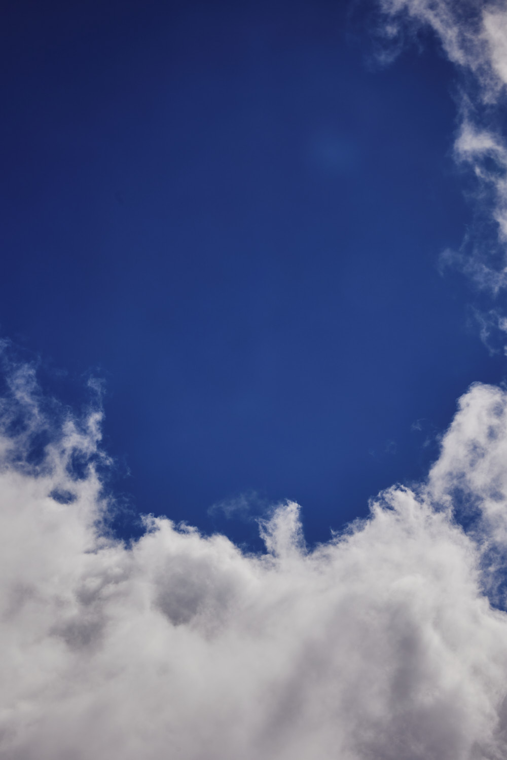 gliding through them
 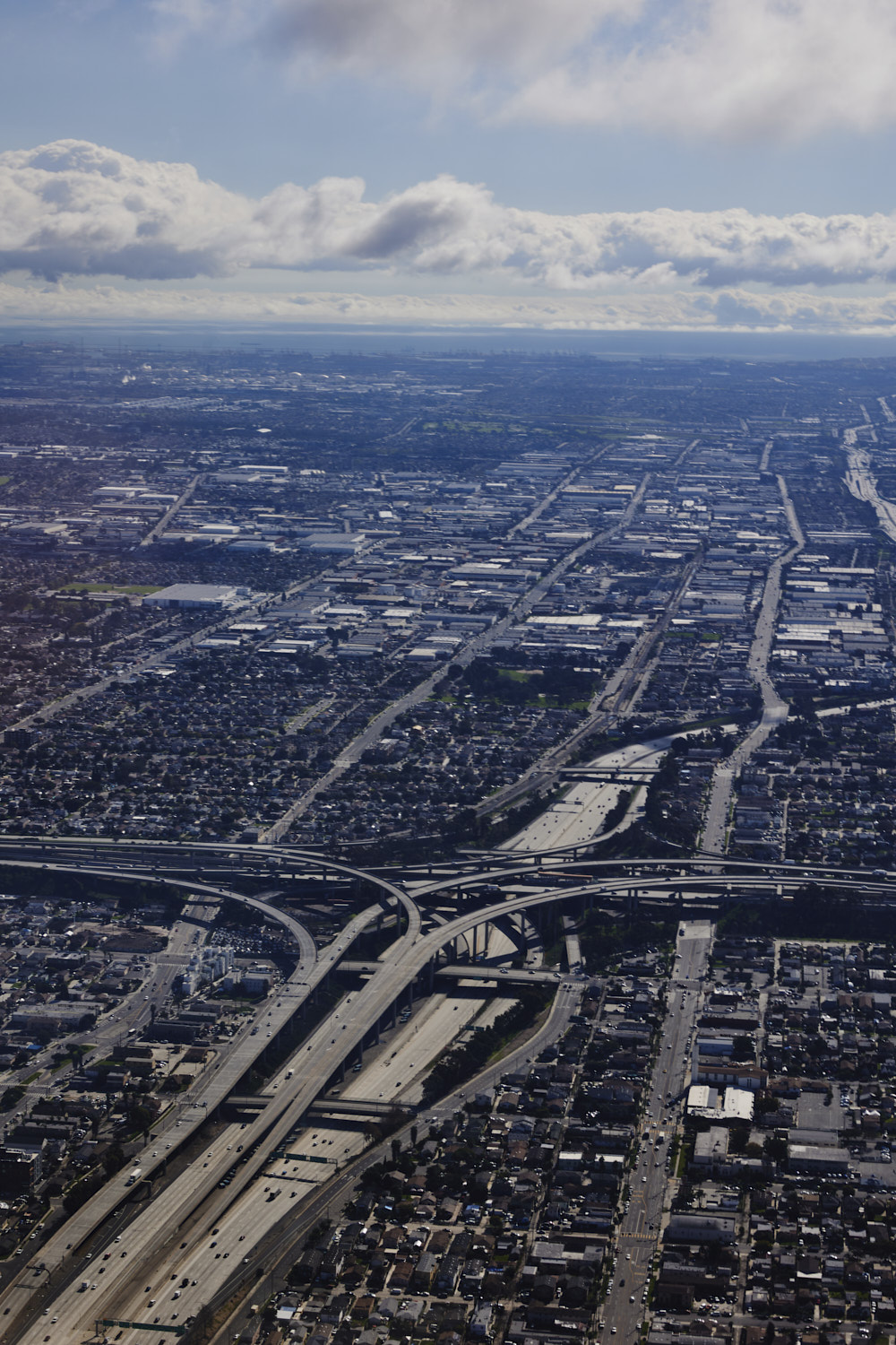 Harbor gateway north, just before landing
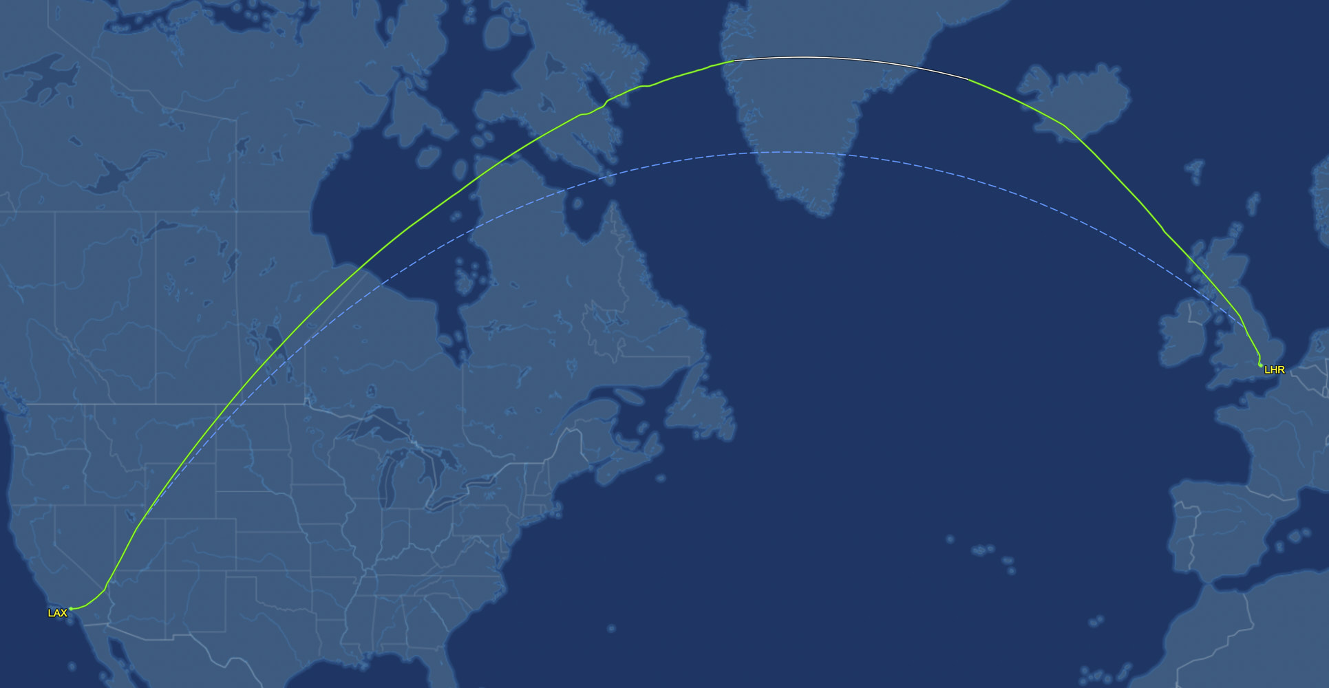 the flight path, just over 10 hours long
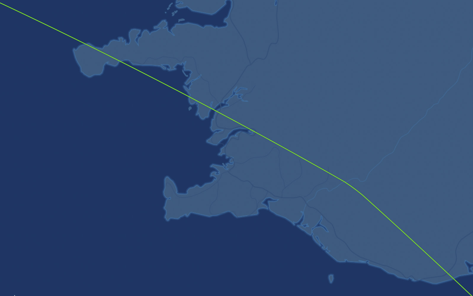 Iceland track
 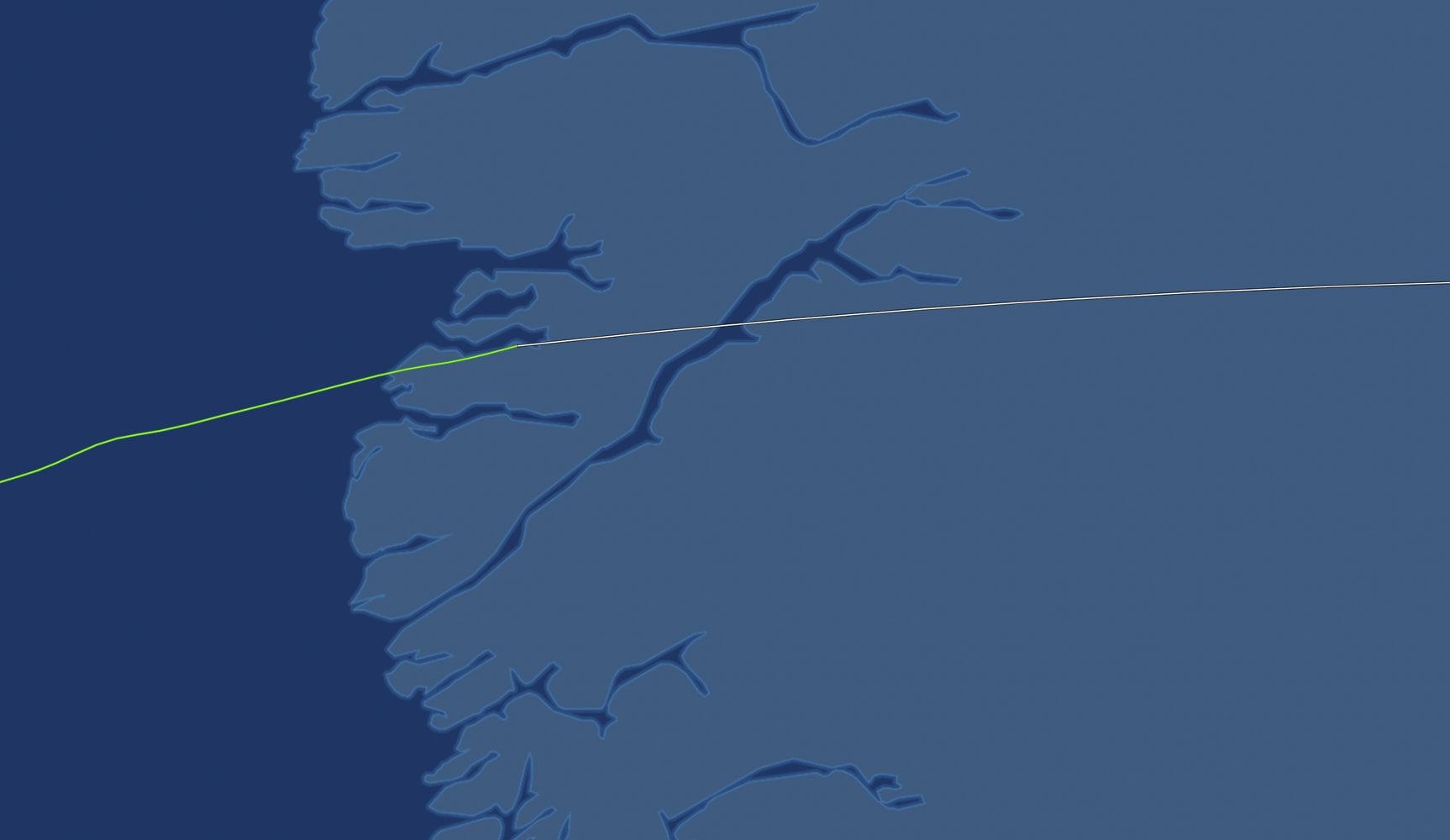 west coast of Greenland
 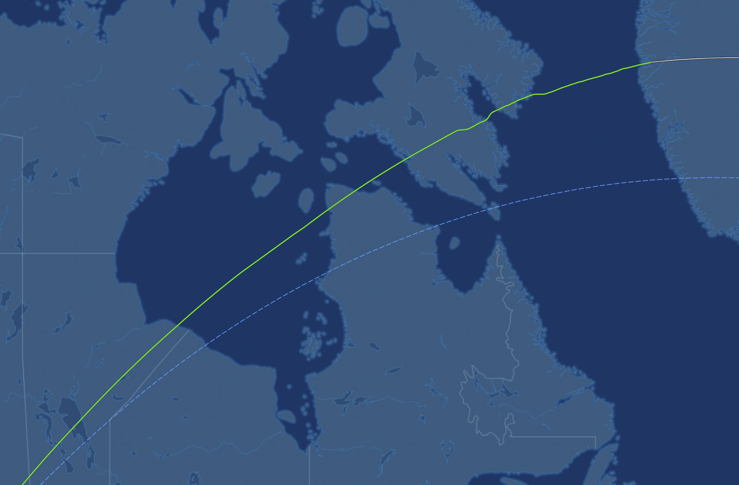 Canada
 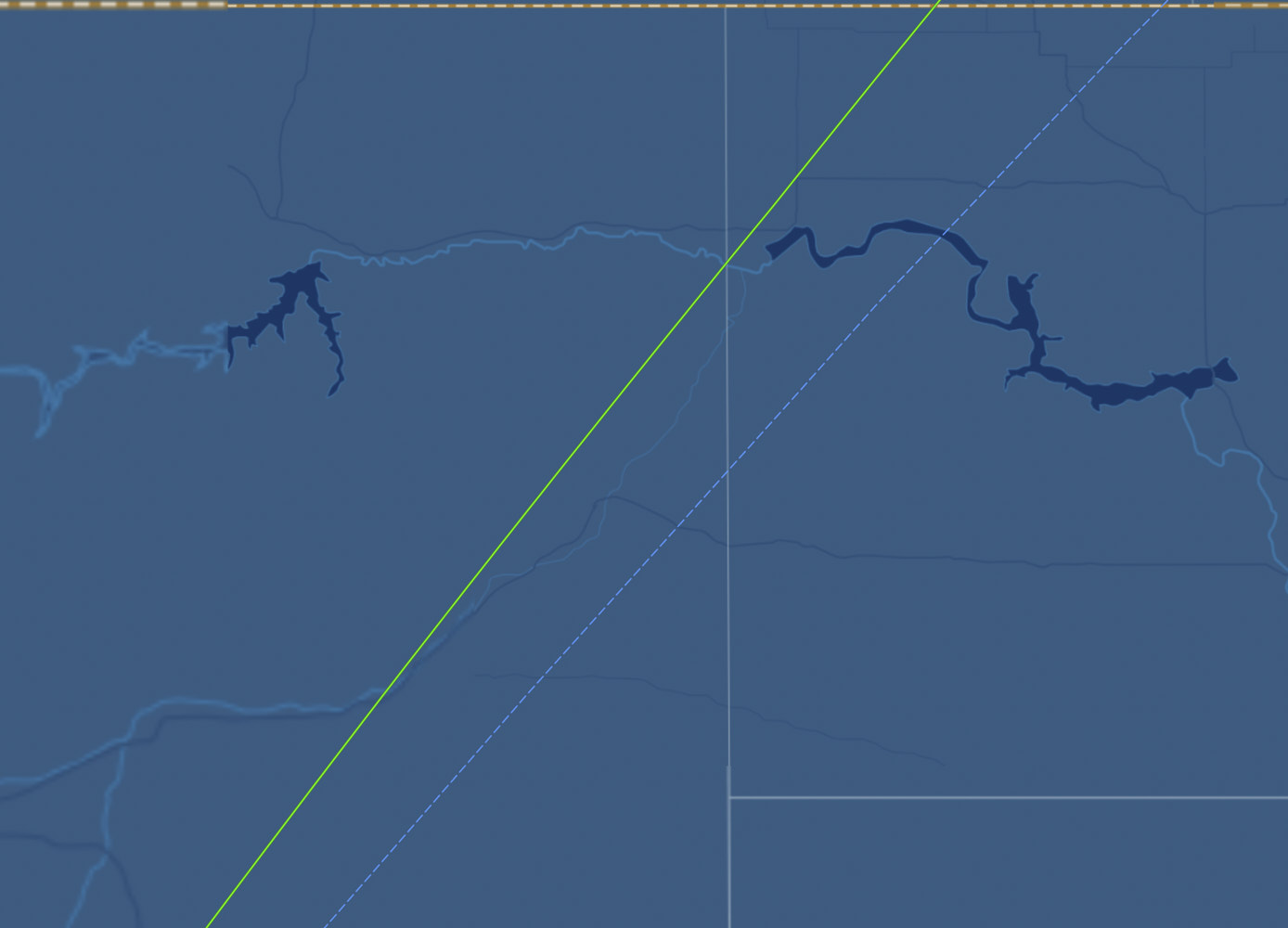 very top of America, top of the pic is Canada border
 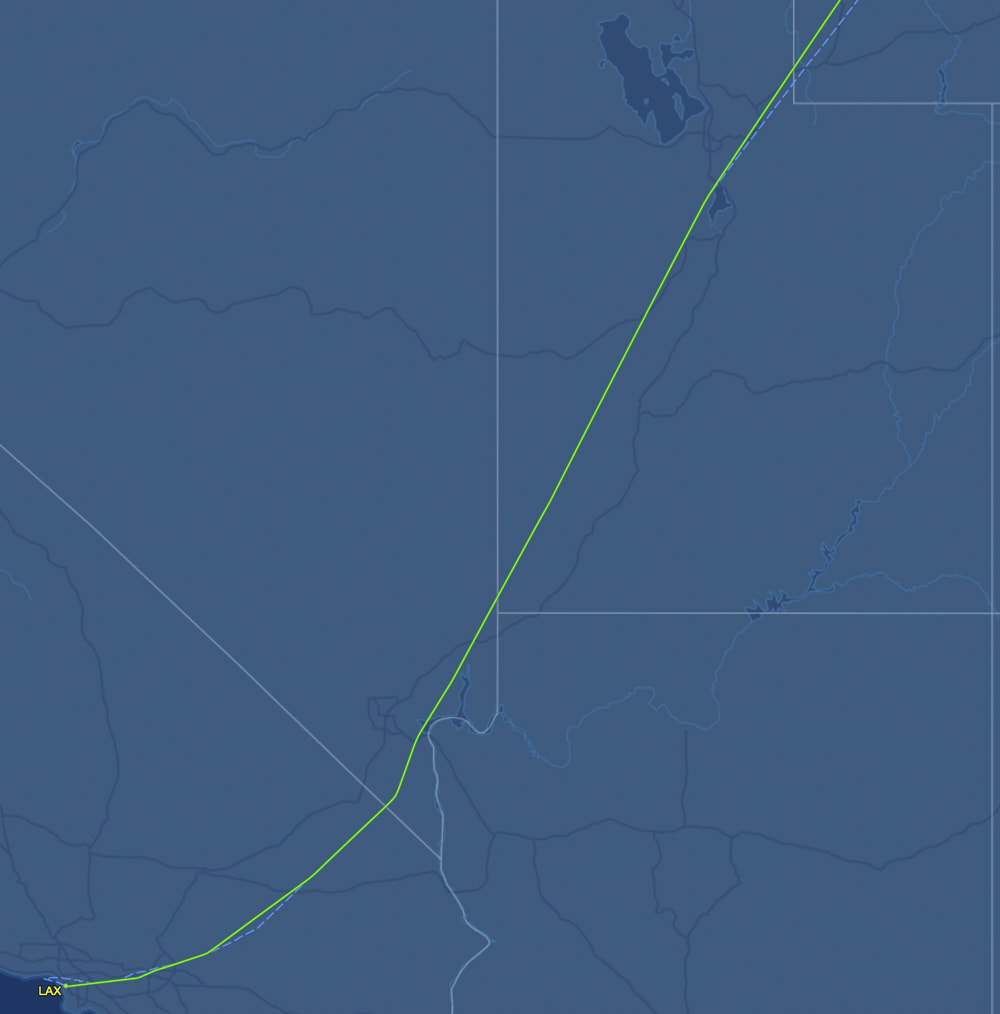 Approach to LA from Utah, Nevada & Arizona
 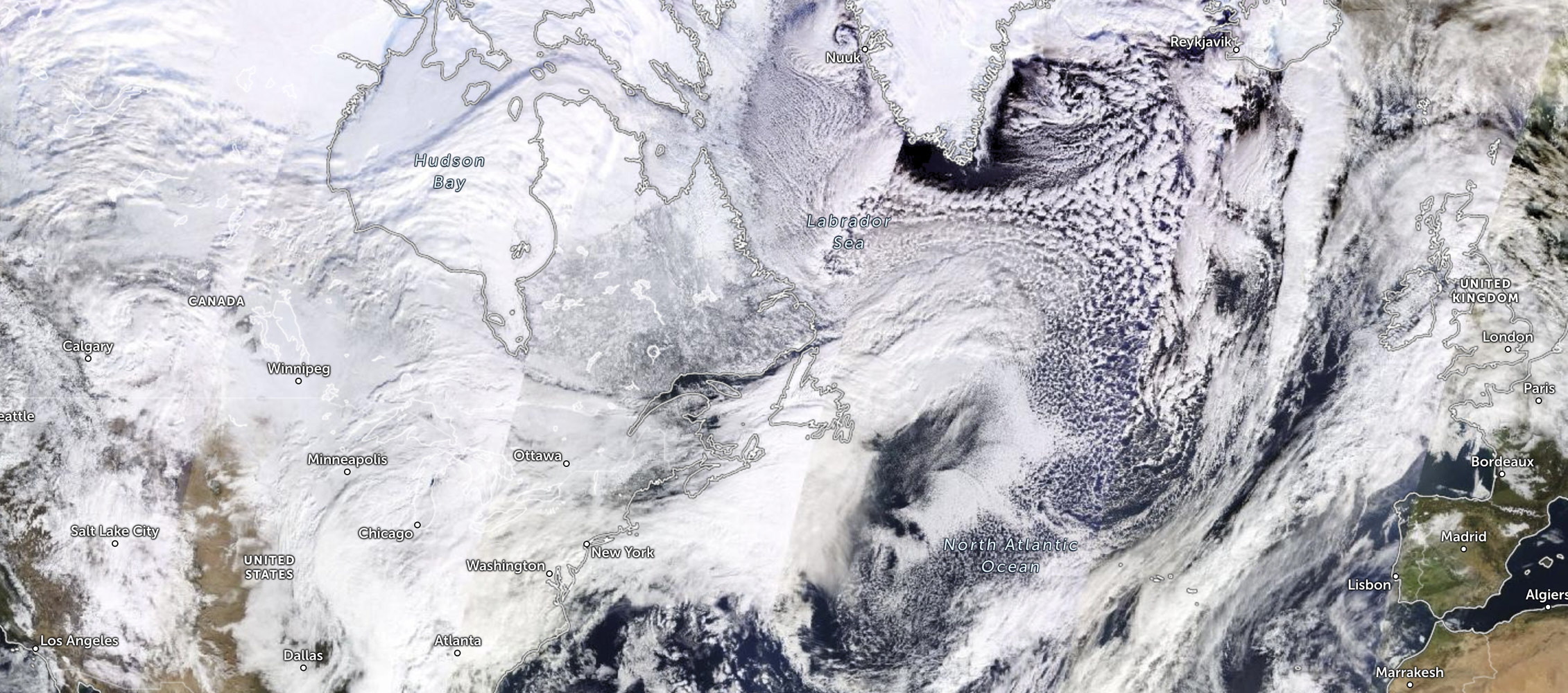 satelitte taken about 1/2 way through journey
 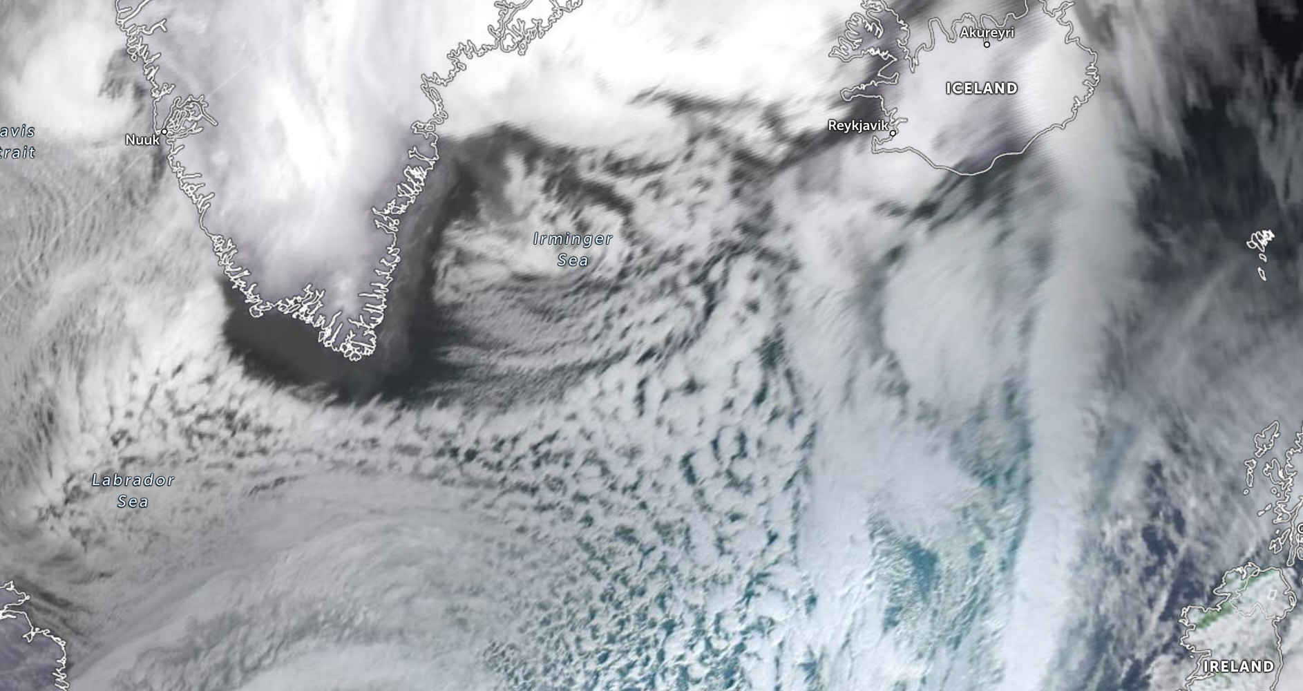 The Iceland Greenland track
 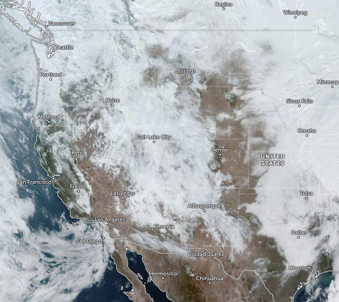 and then satellite of the track from Canada to LA